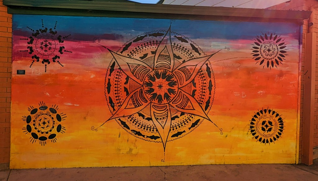
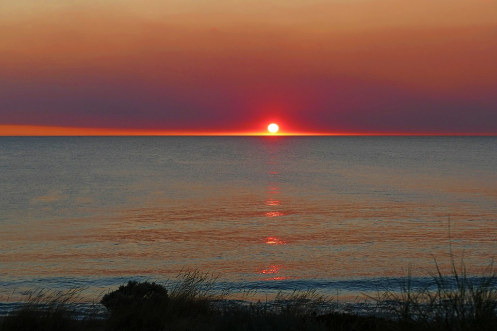
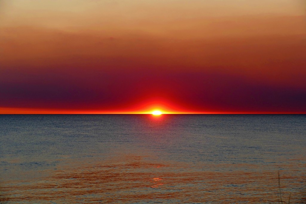
Ceduna . Googs Track . Glendambo . Coober Pedy . Anne Beadell Highway . Emu . Laverton . Kalgoolie . Merriden . Perth . Carmel Cider . Kings Park . Fremantle . Jaz Cellar . Rottnest Island . Core Cider

Perentie Wandering April 2022
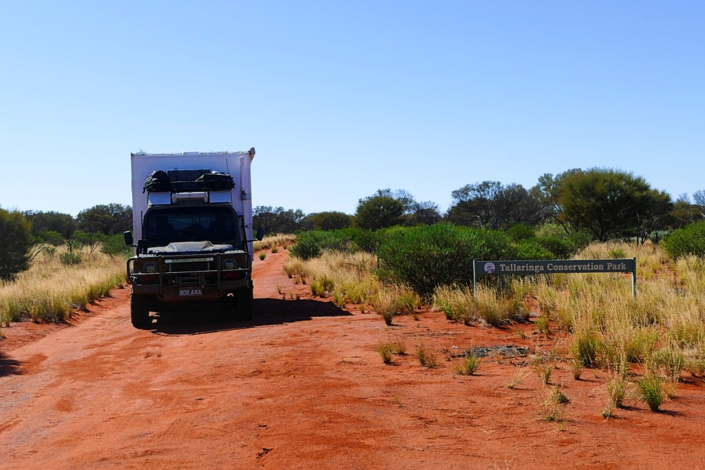
Day 55, Friday 1st April, 2022
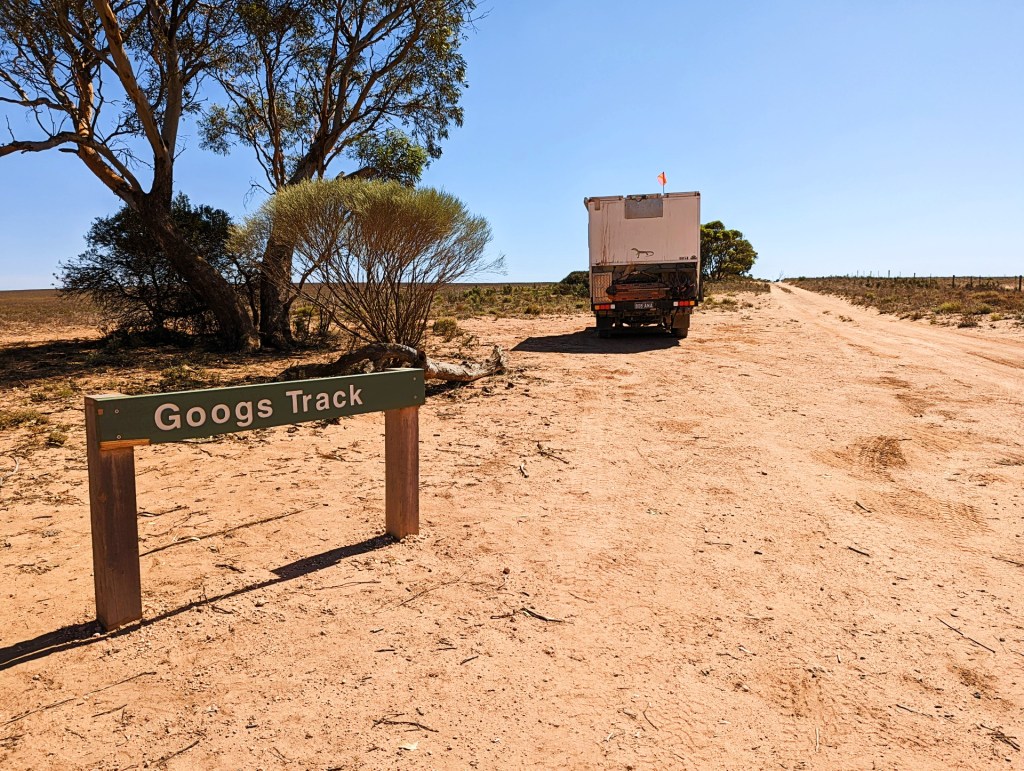
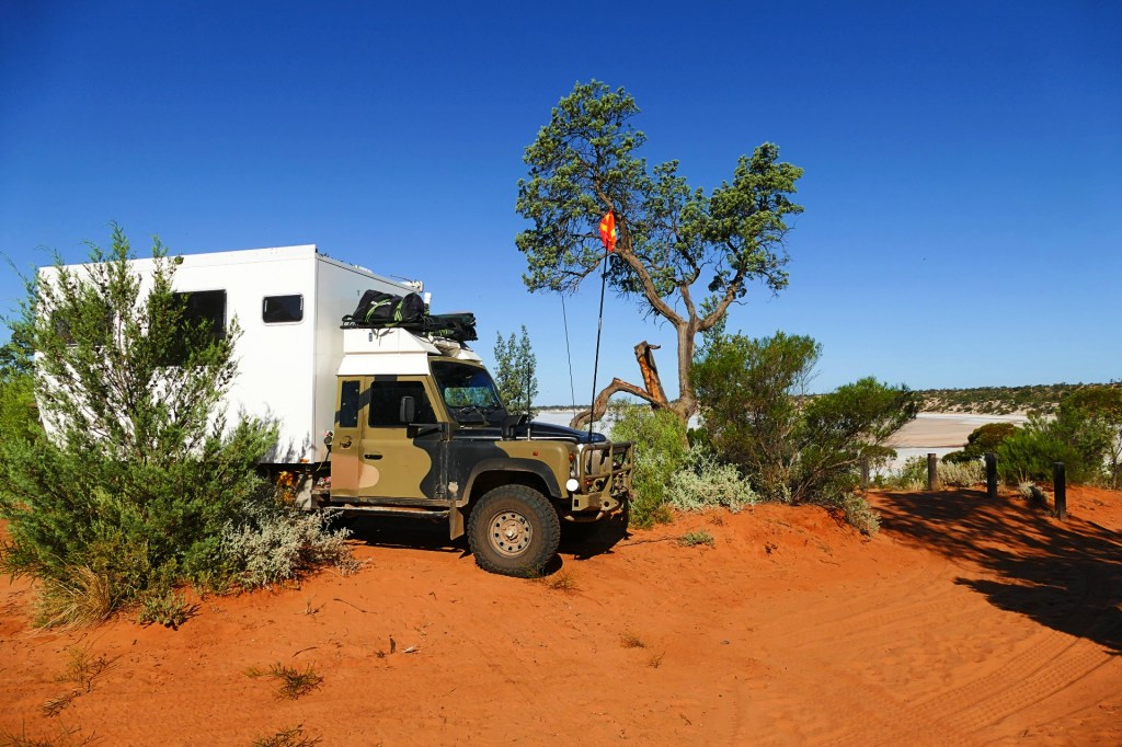
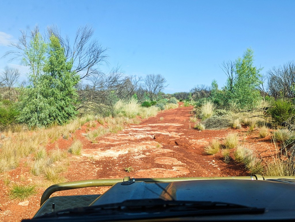
We left Ceduna today to travel up Googs Track to Coober Pedy.
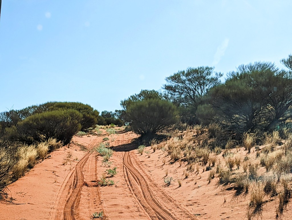
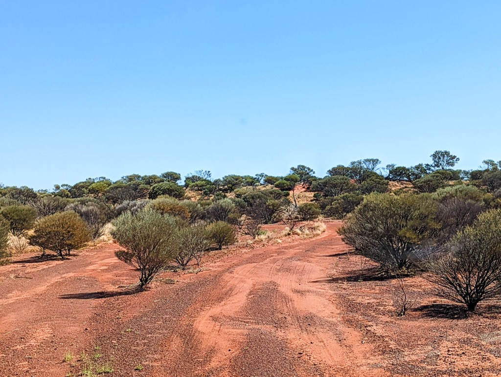
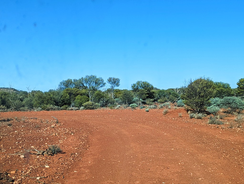
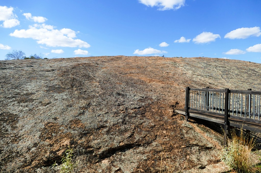
We set off for Googs Track, it is a track pushed through by John “Goog” Denton and his family over 4 years, completed in 1976. Along the way they discovered all sorts of spectacular natural formations which have been and continue to be visited by hundreds of people.
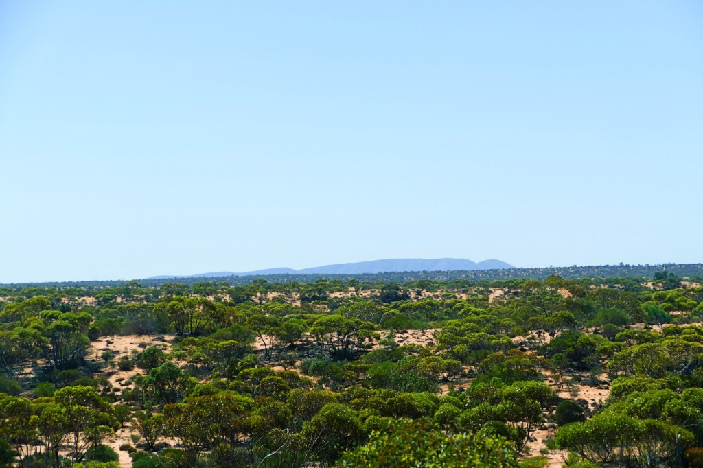
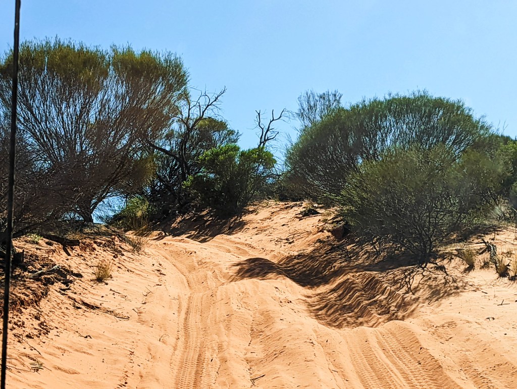
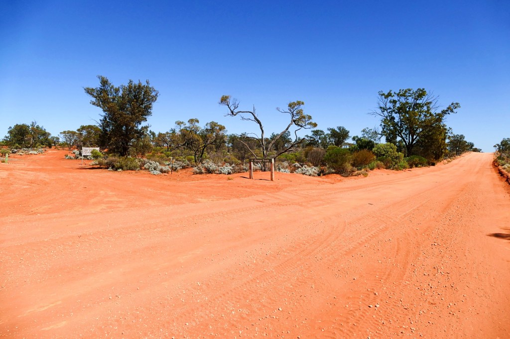
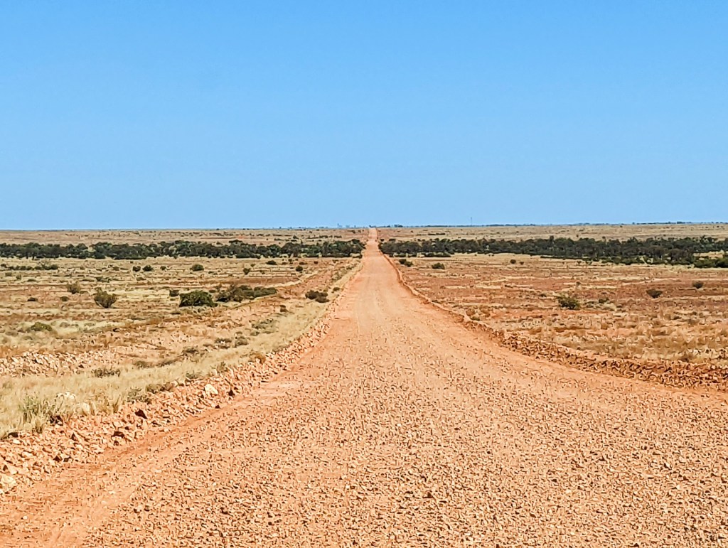
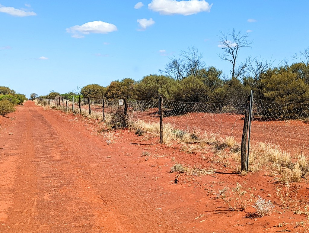
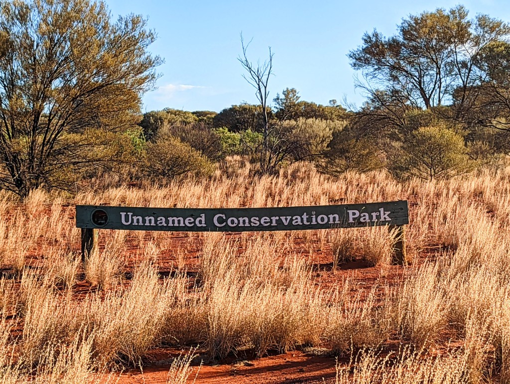
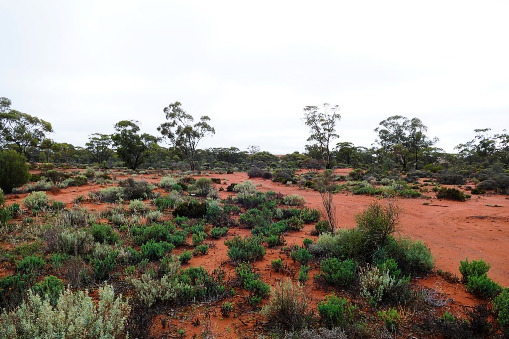
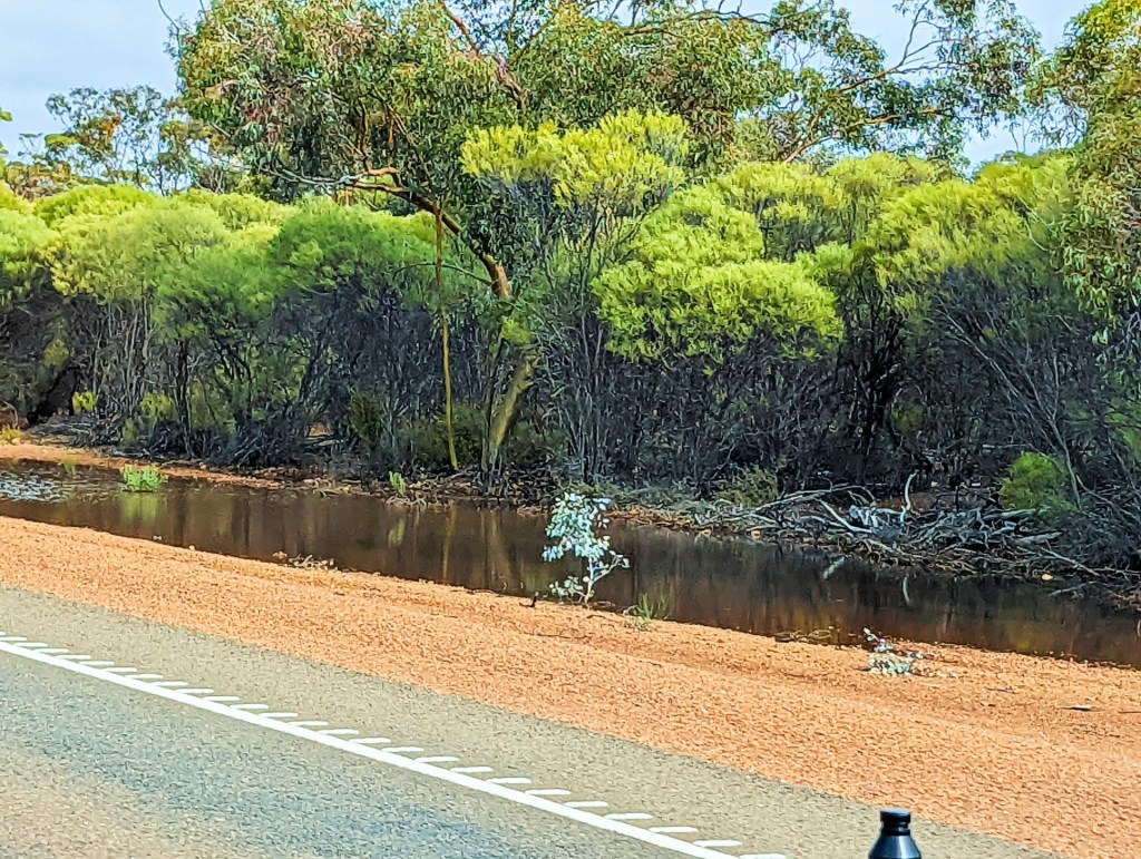
Googs Track is 120 km of 4WD only road, traversing part of the Yellavinna Conservation park. It runs north to south from the dingo proof fence north of Lone Oak, 40km north of Ceduna to Tarcoola, on the East-West railway line. The track crosses 363 east west running sand dunes and is often compared to a “mini’ Simpson crossing.
Goog would often sit in the veranda at their farm “Lone Oak”, gaze out into the bush on the northern boundary of their property and say “I wonder what is out their Mother”, he always called his wife Jenny “Mother”. So he set out to find out.
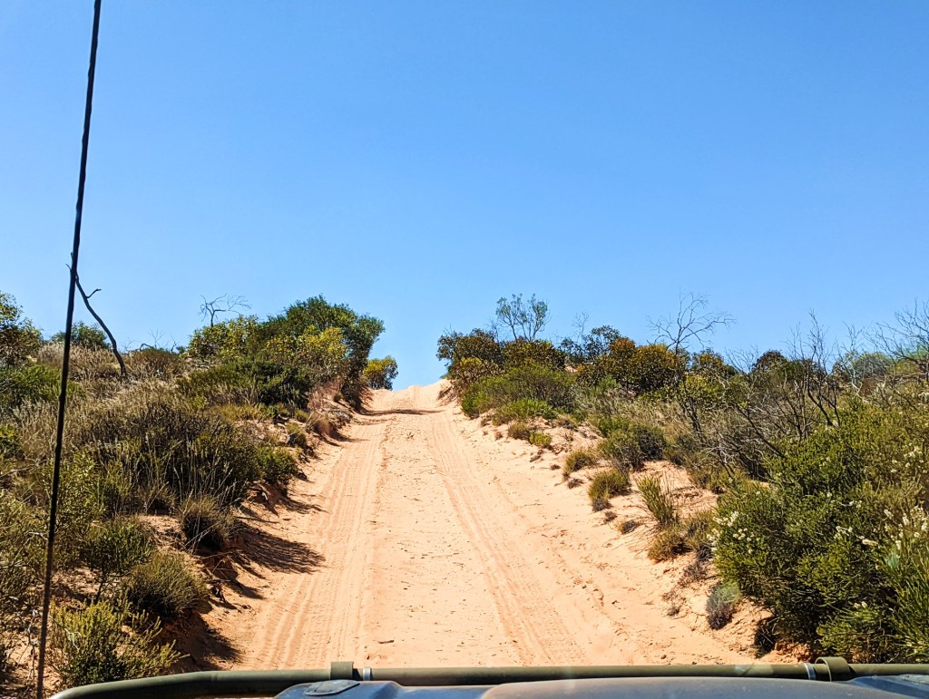
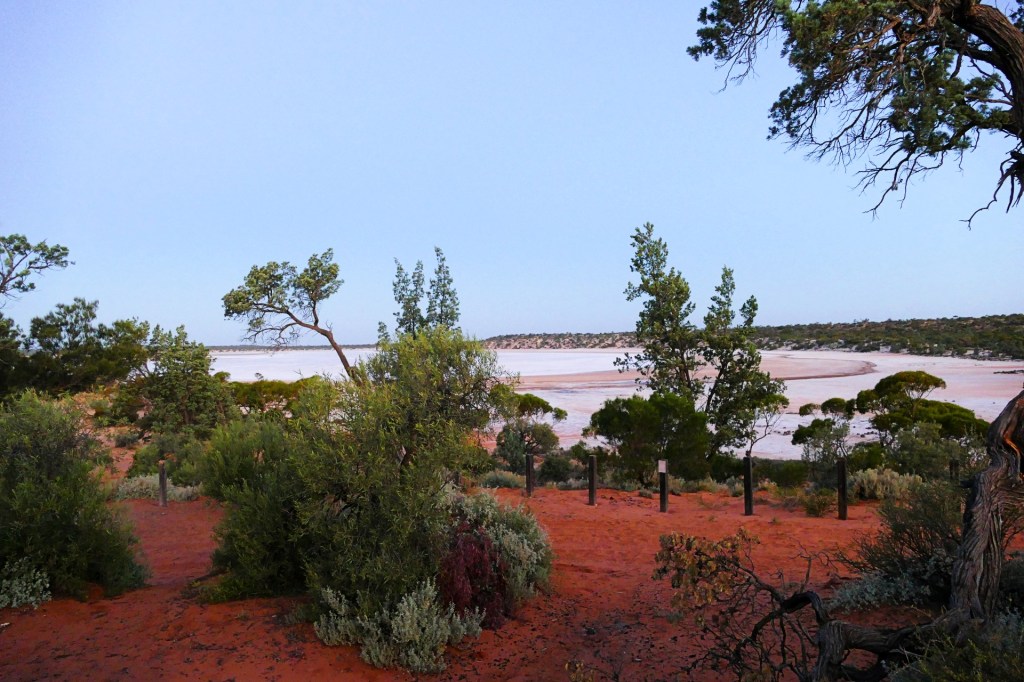
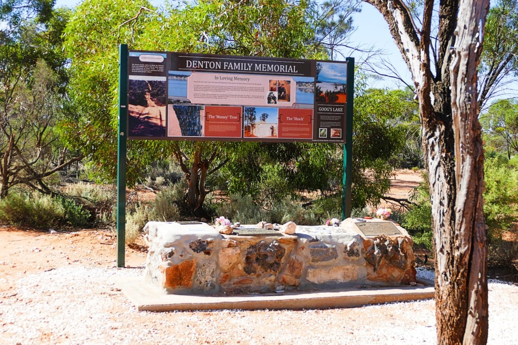
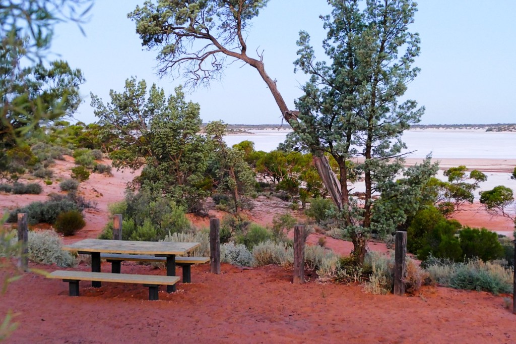
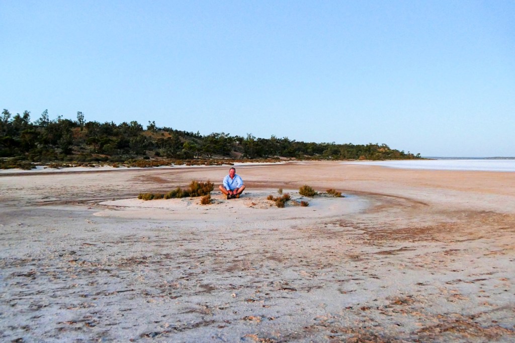
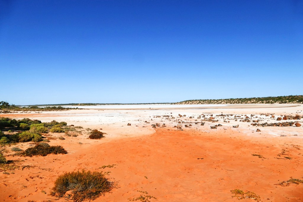
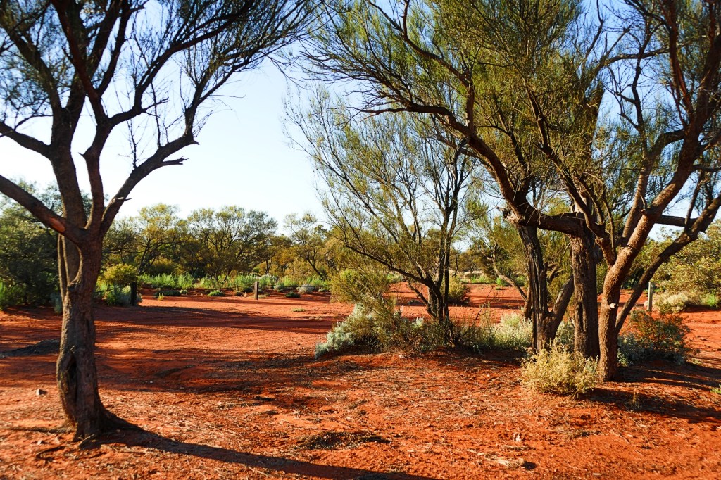
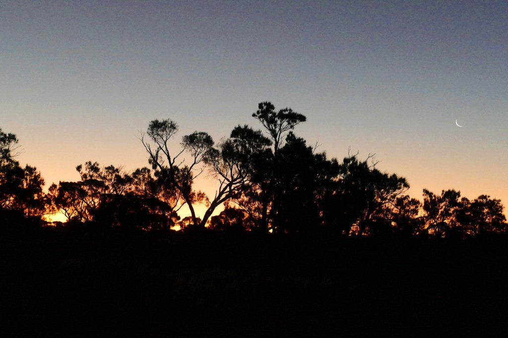
We camped by Googs Lake for the night. There is a memorial there for Goog, and other members of his family who have passed. there is also a visitors book put there by Jenny, Goog’s wife who is still actively associated with the upkeep of the track.
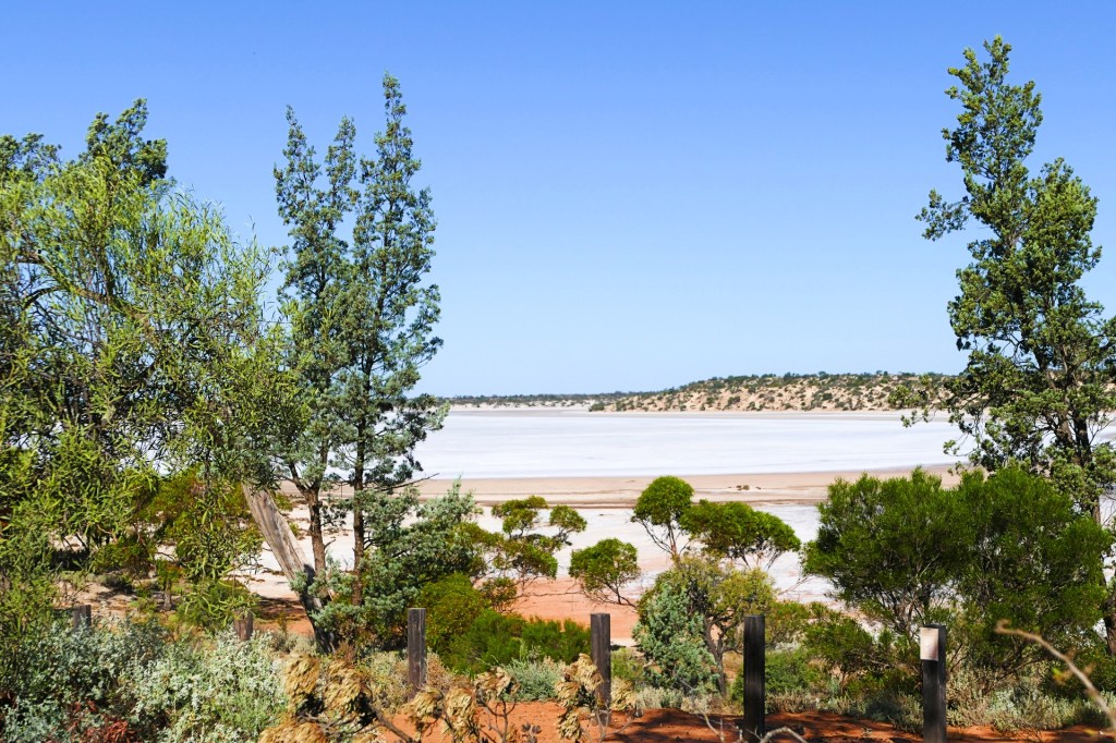
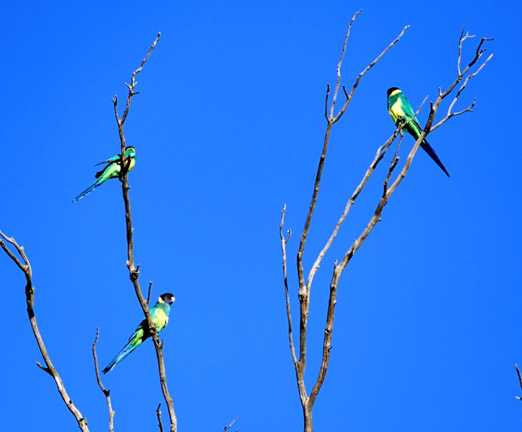
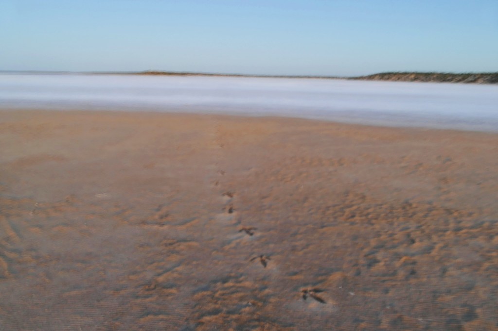
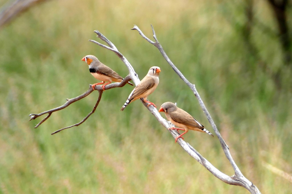
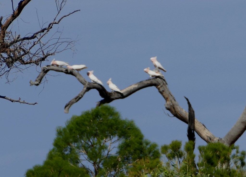
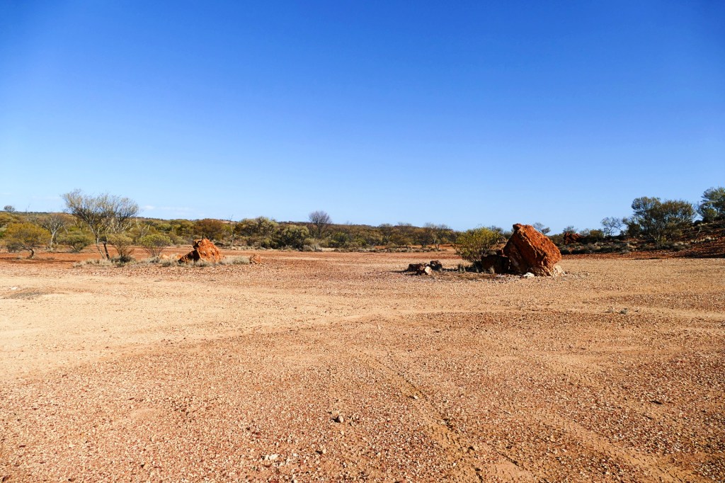
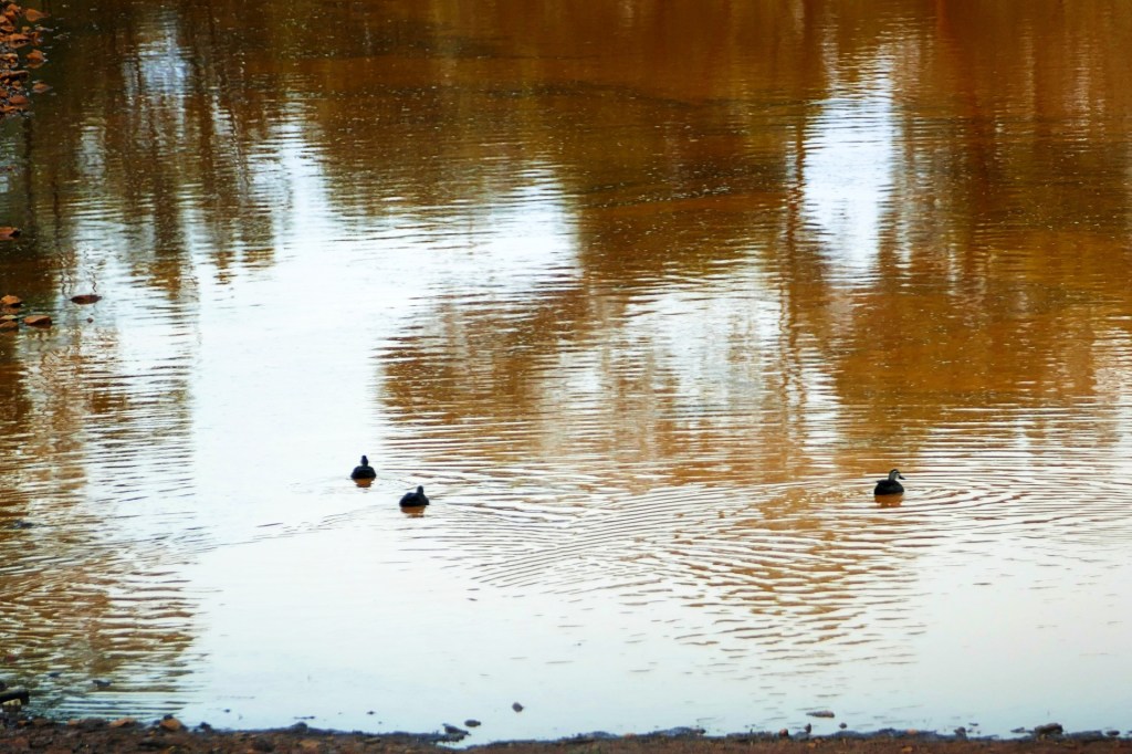
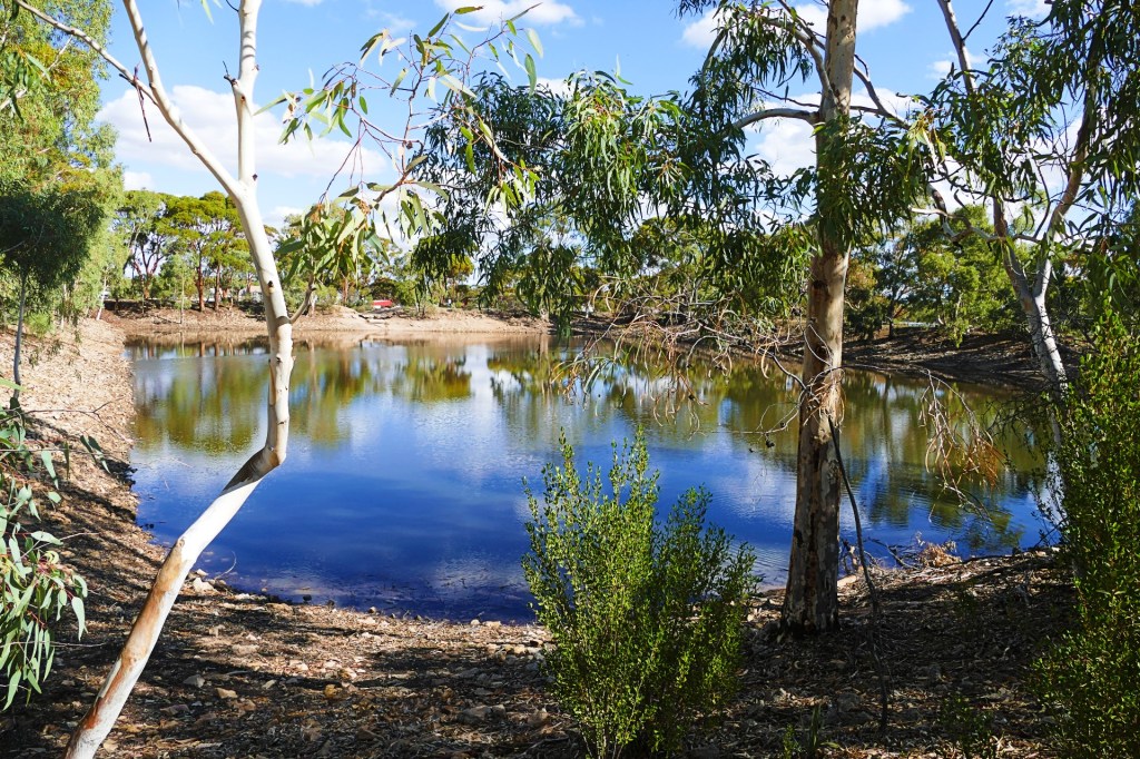
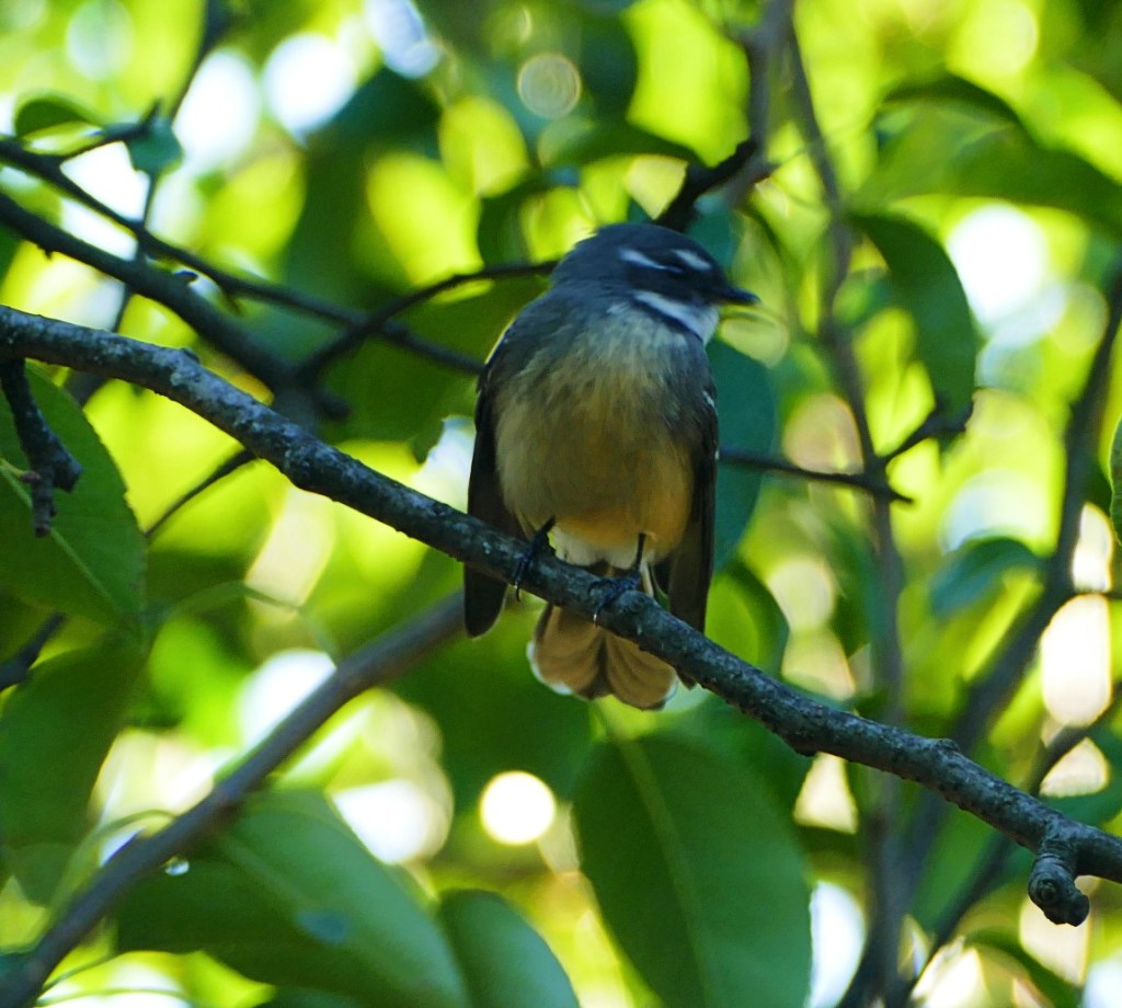
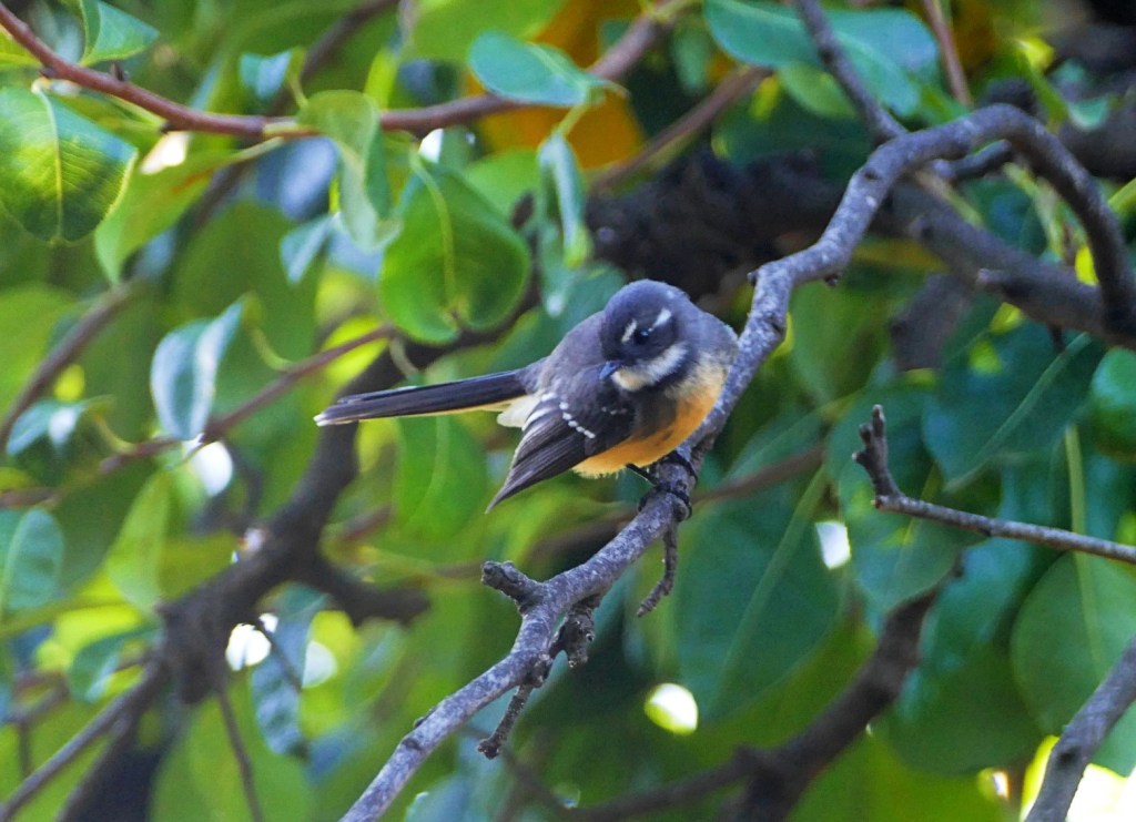
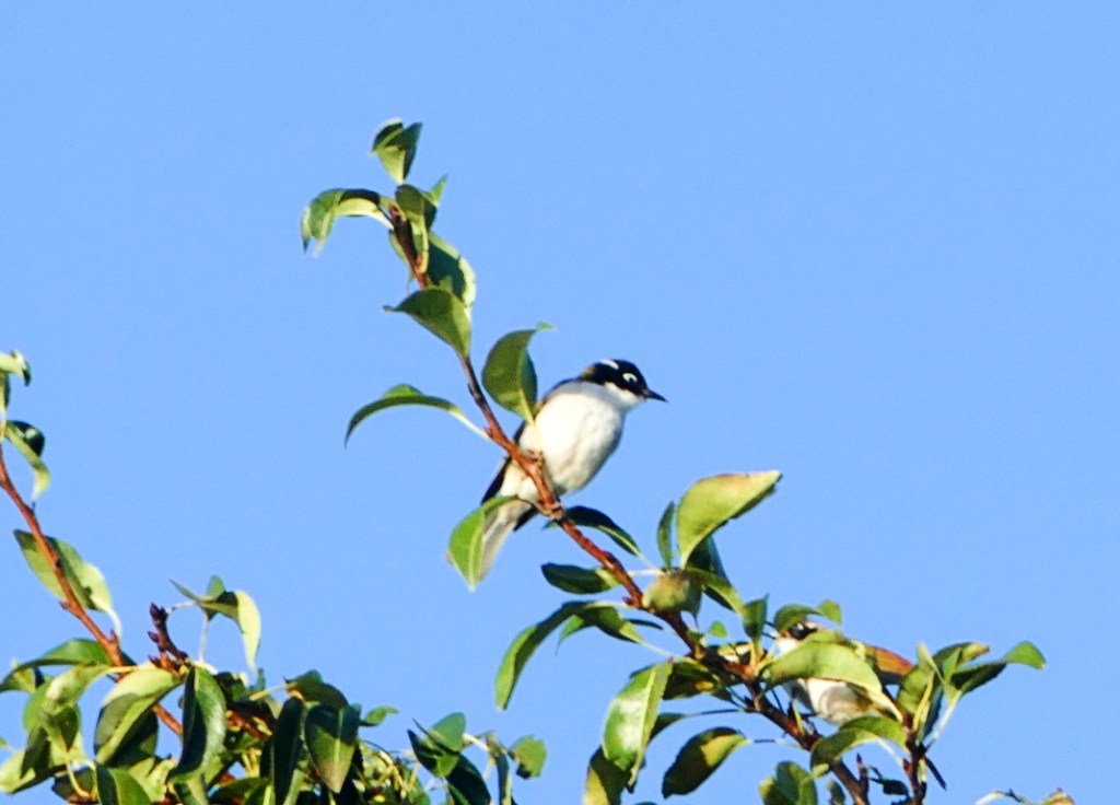
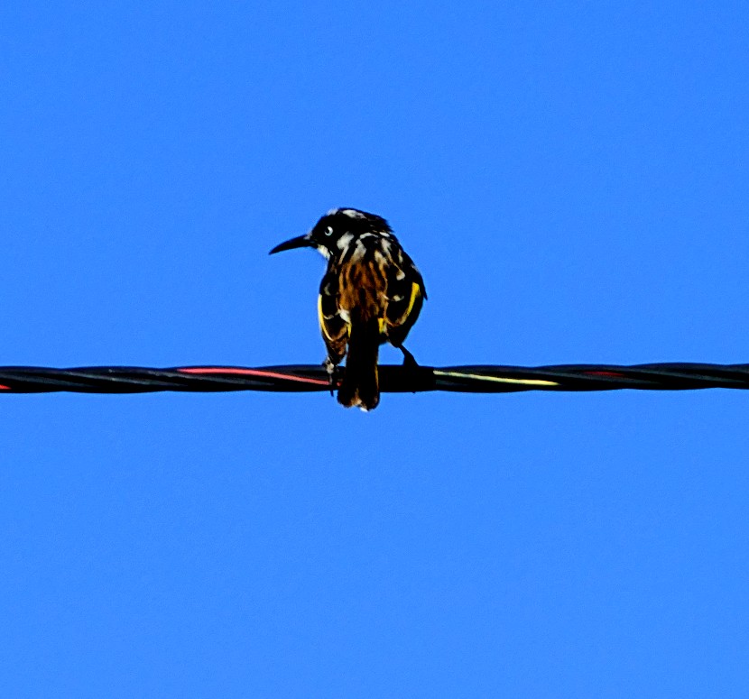
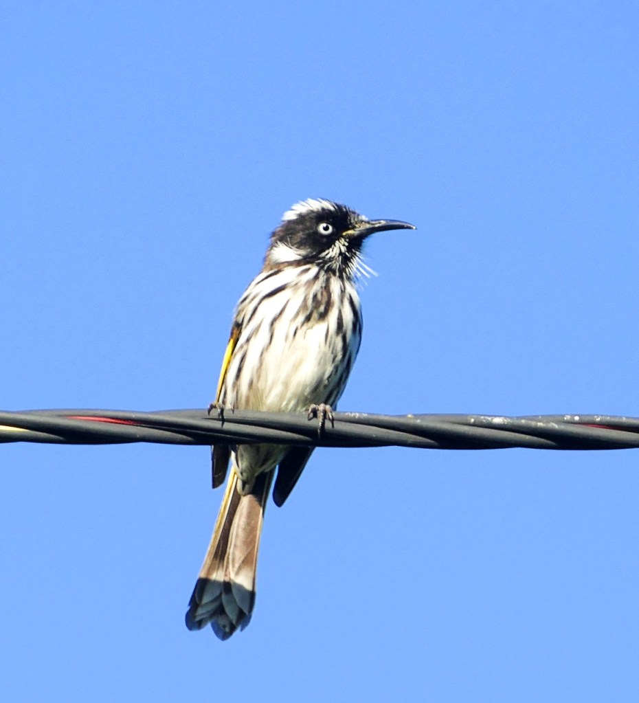
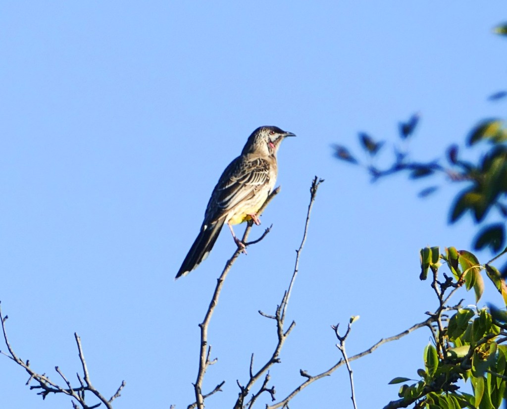
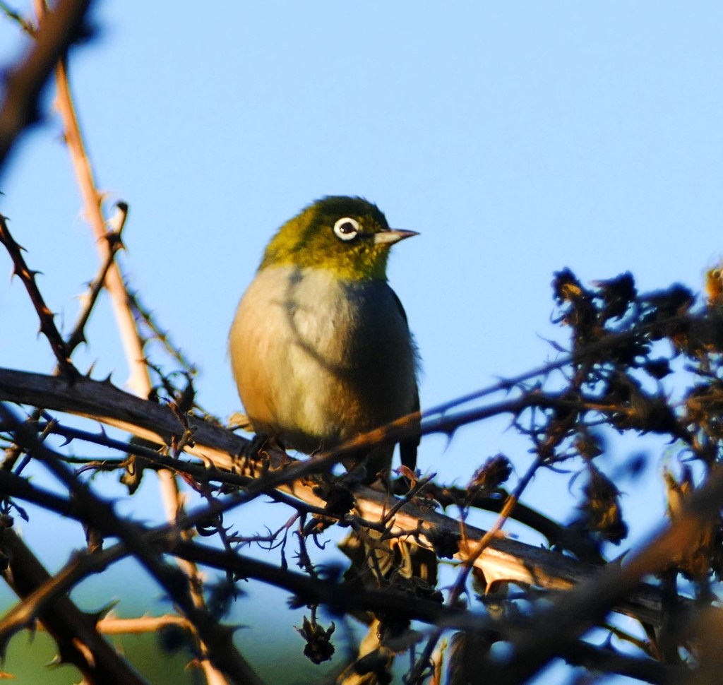
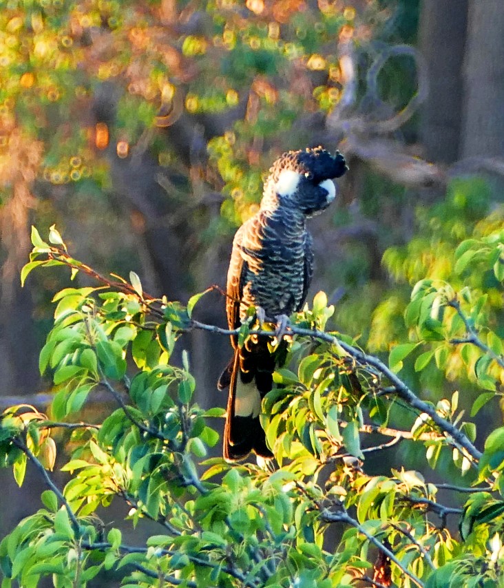
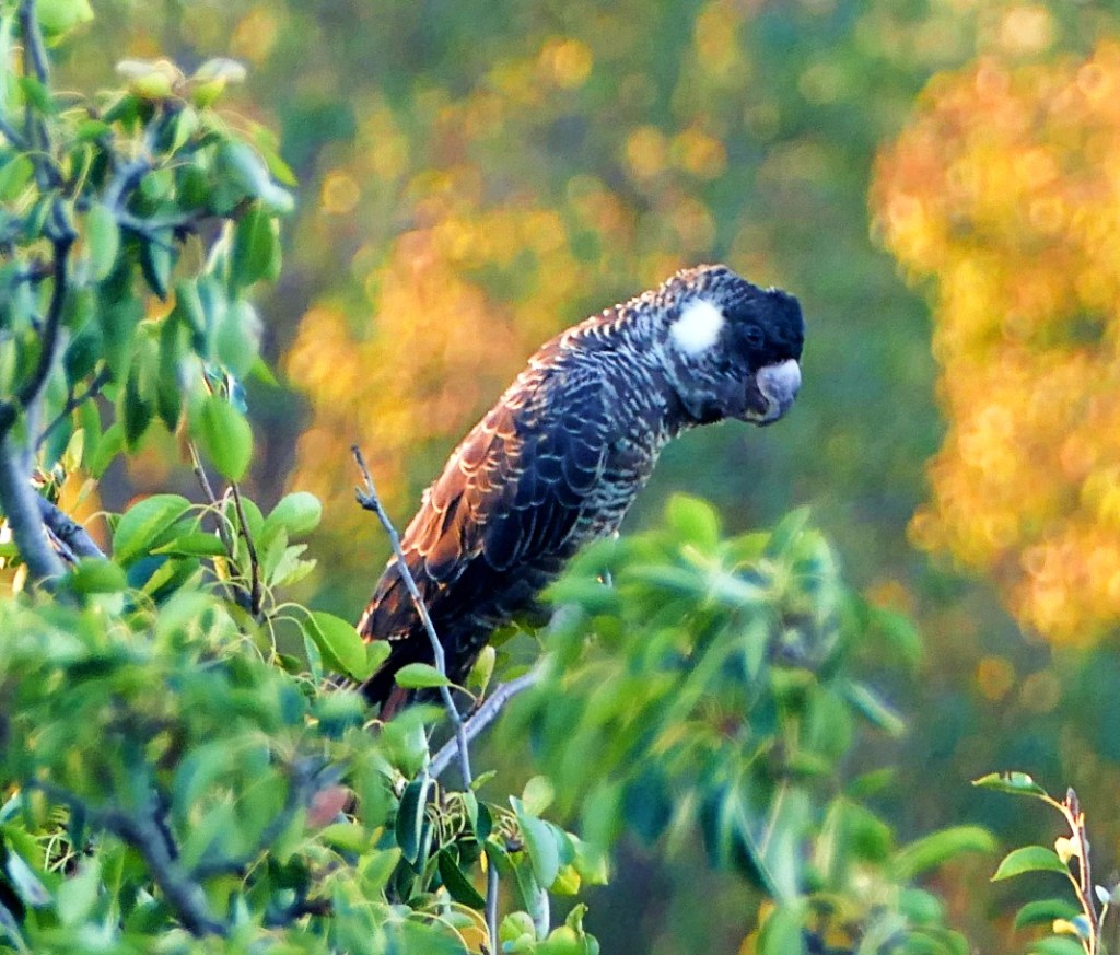
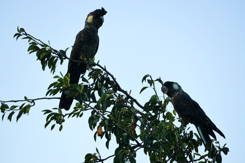
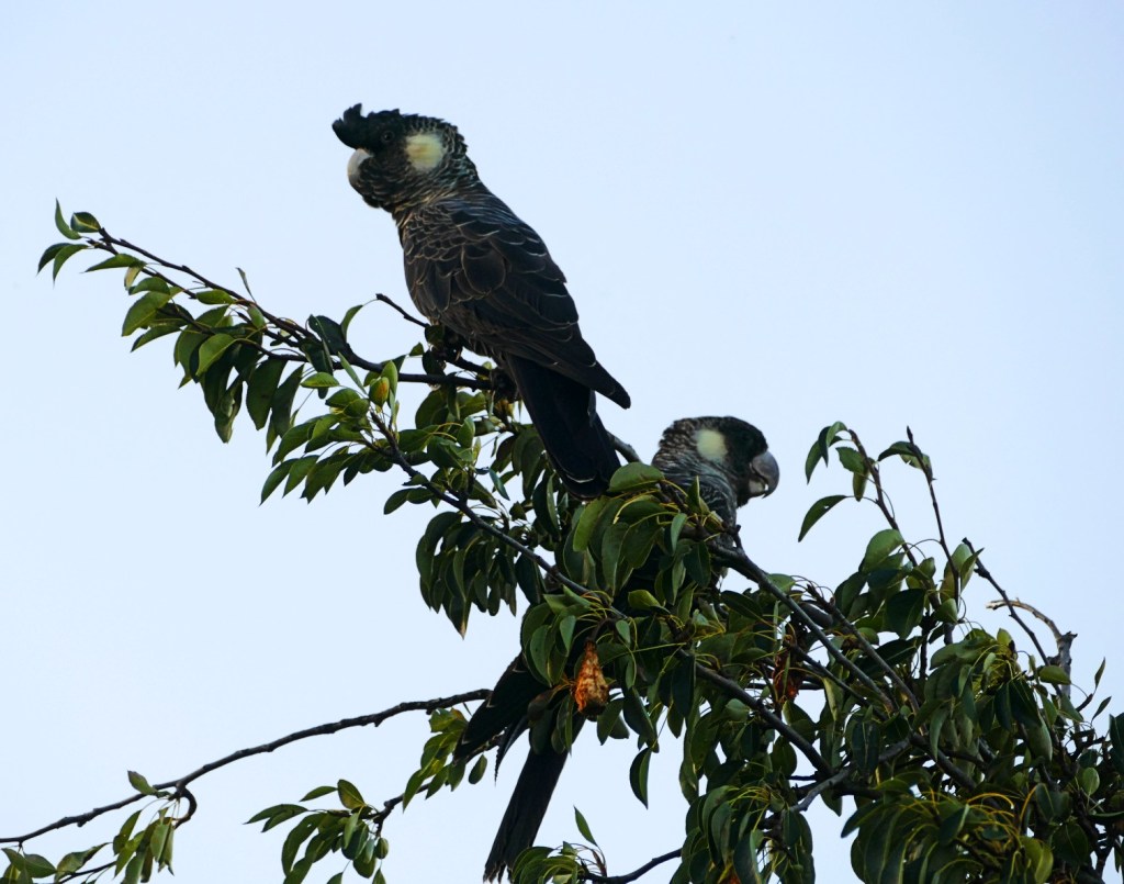
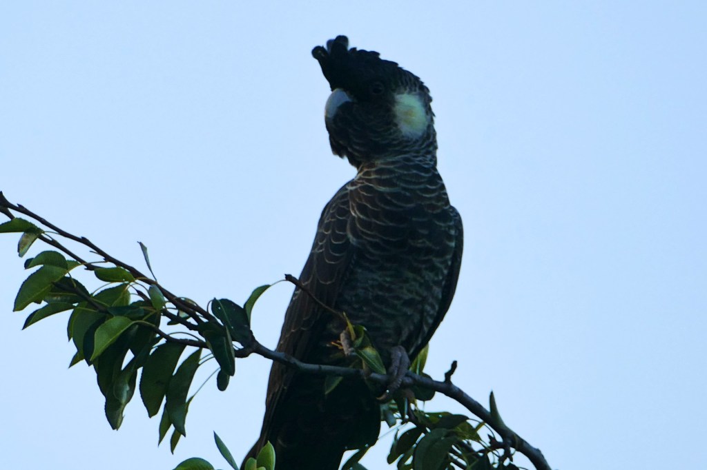
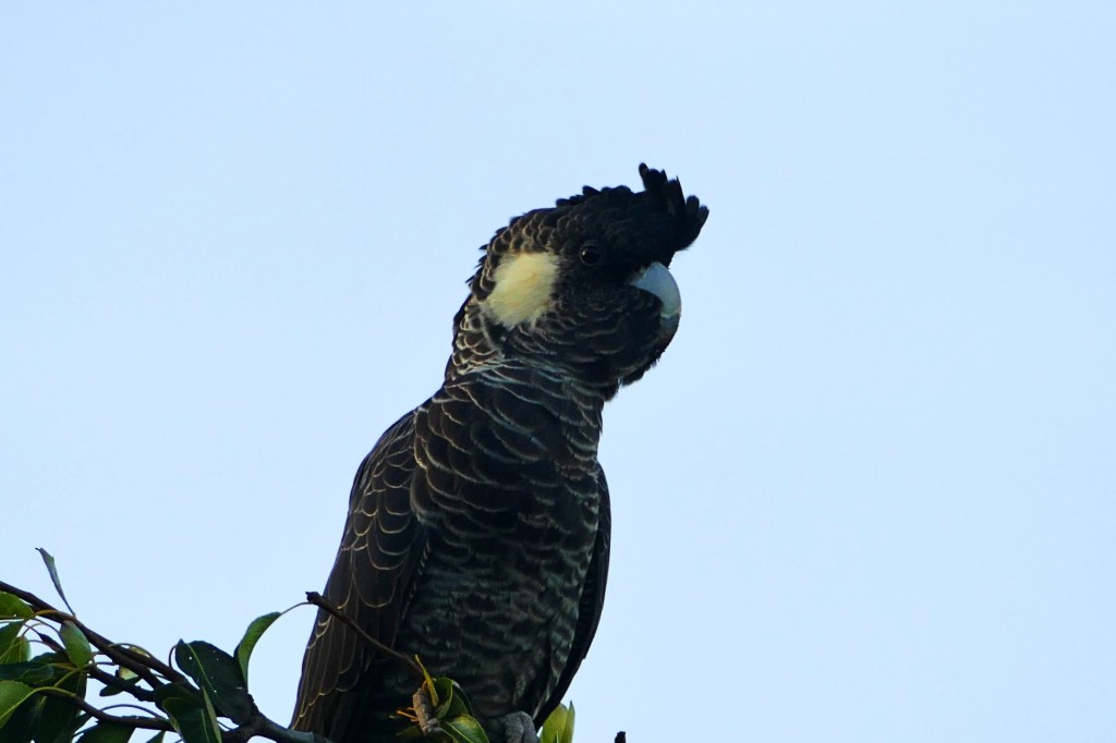
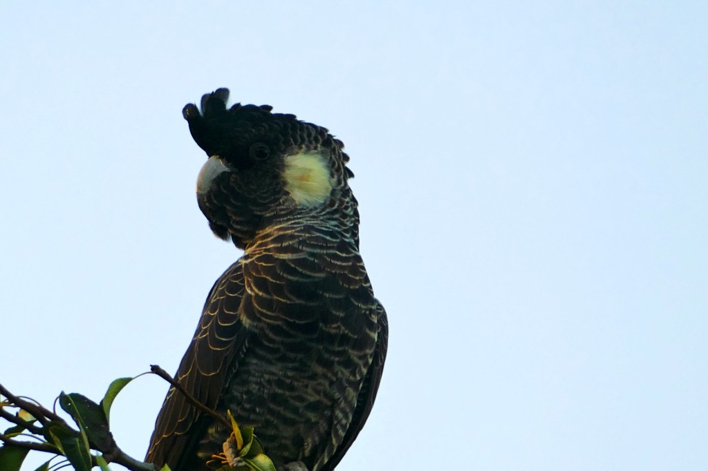
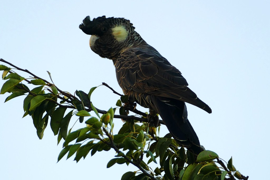
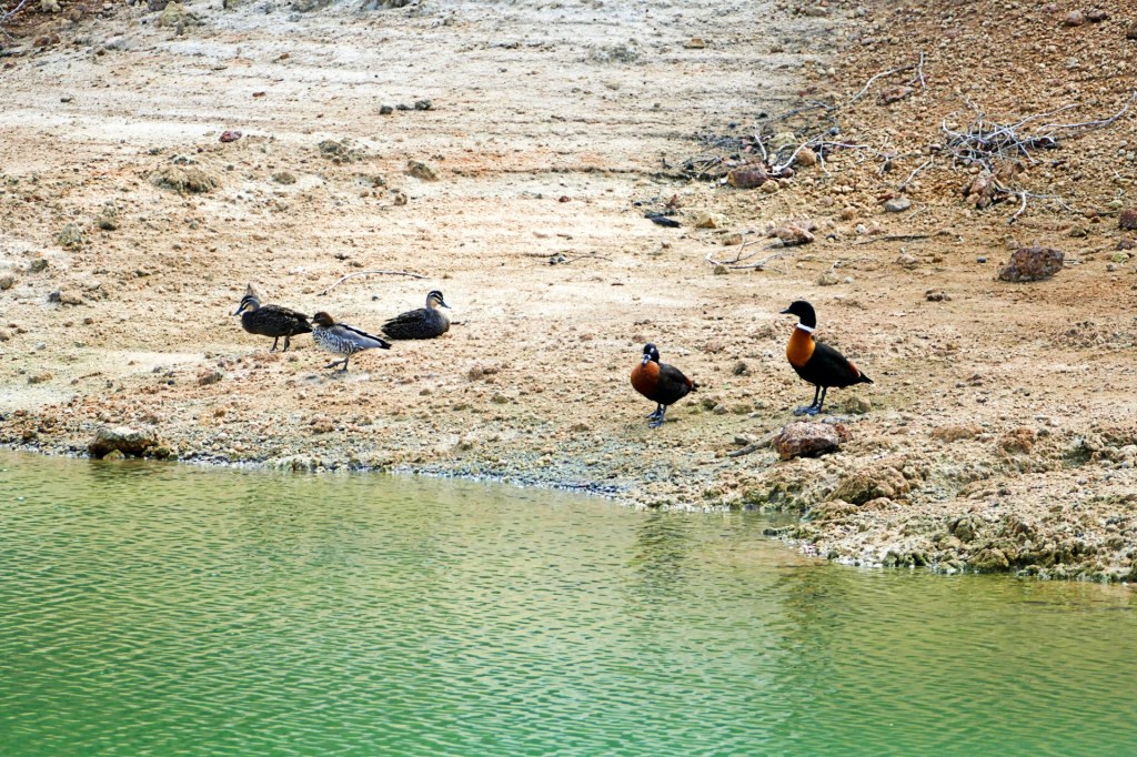
Goog’s Lake is a salt lake which did not have any water when we visited, very pretty and lots of birdlife. It is a lovely place to camp for the night or more.
Day 56, Saturday 2nd April, 2022
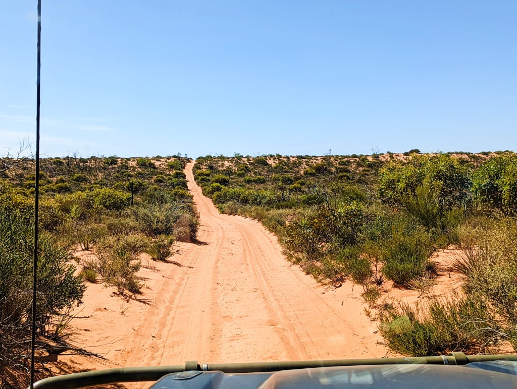
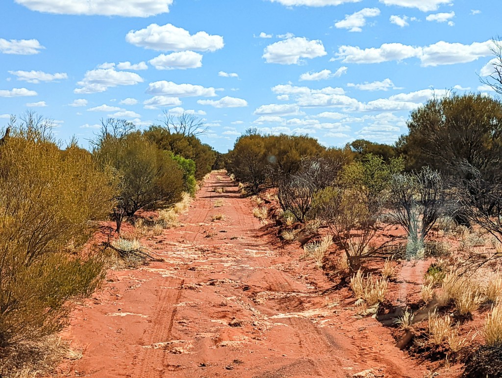
We left Goog’s lake and continued the second leg of our adventure on Goog’s Track.
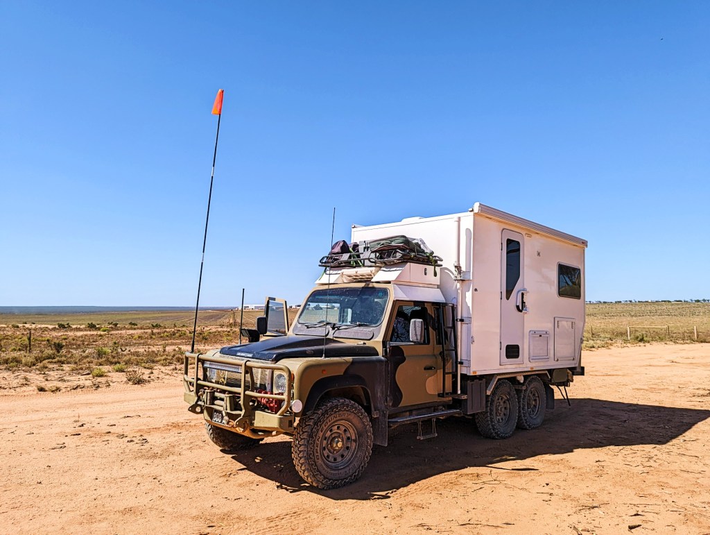
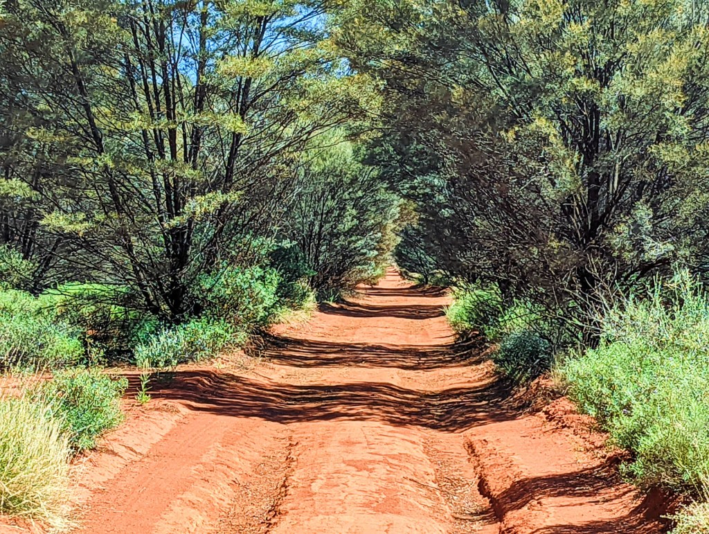
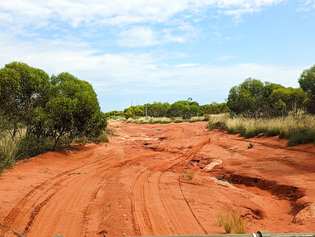
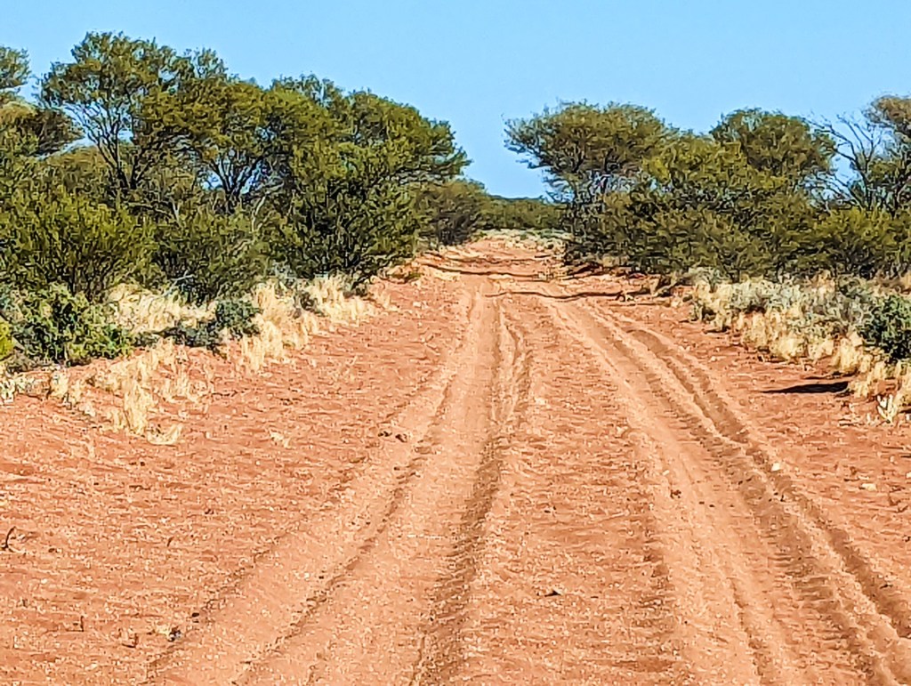
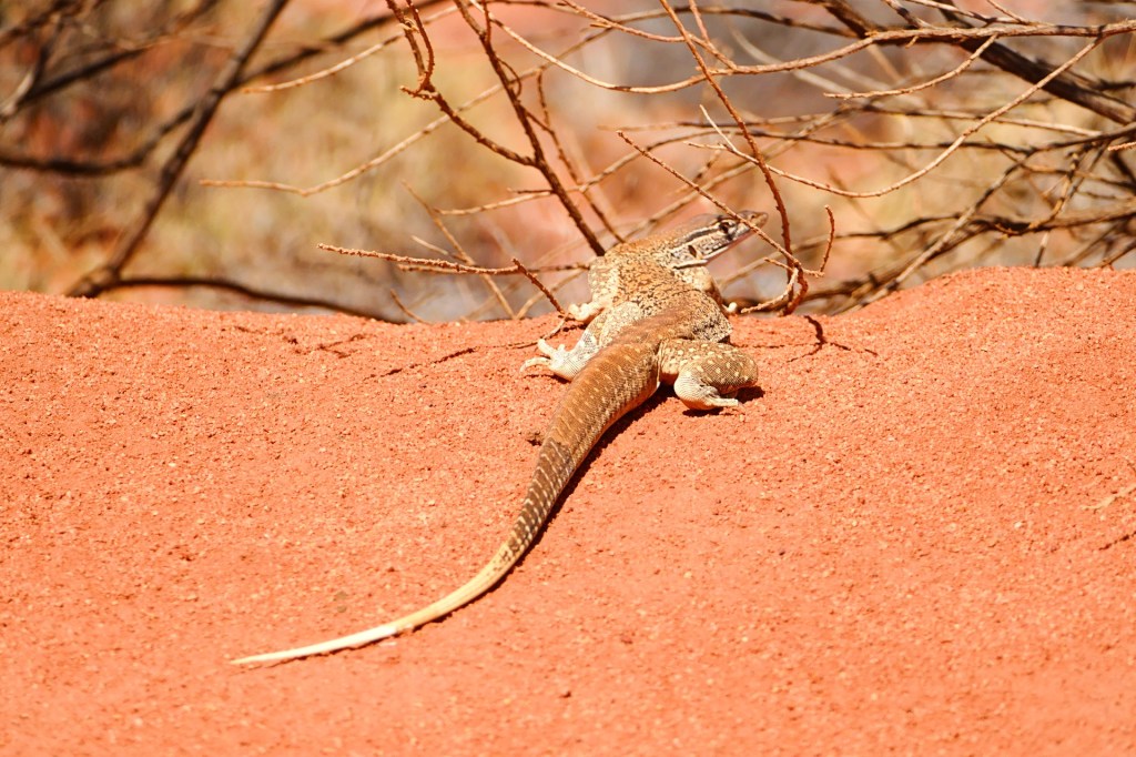
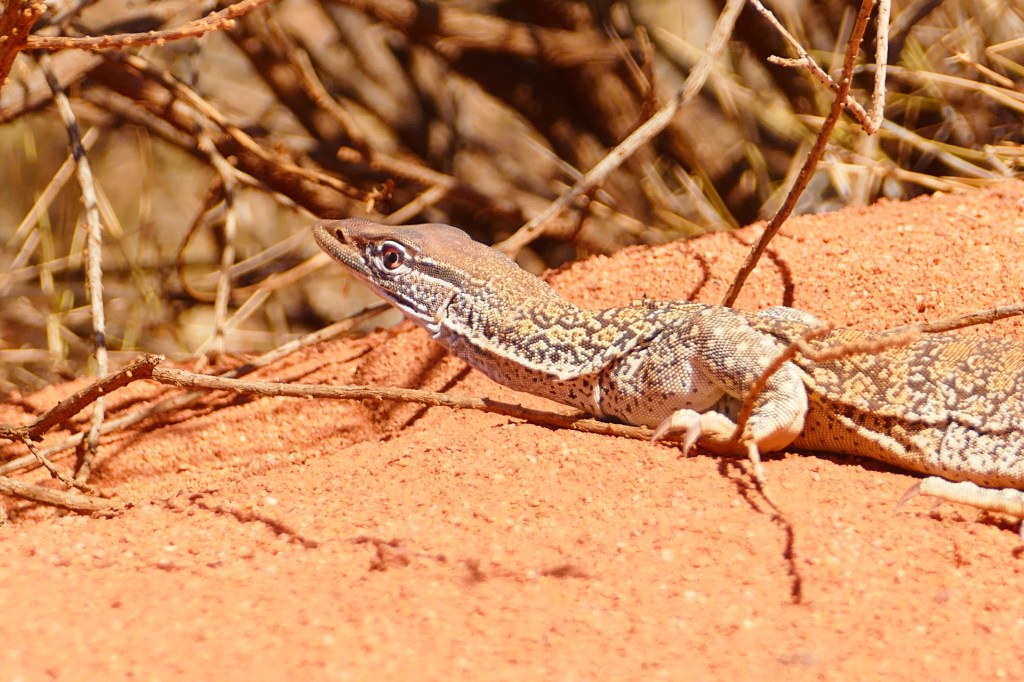
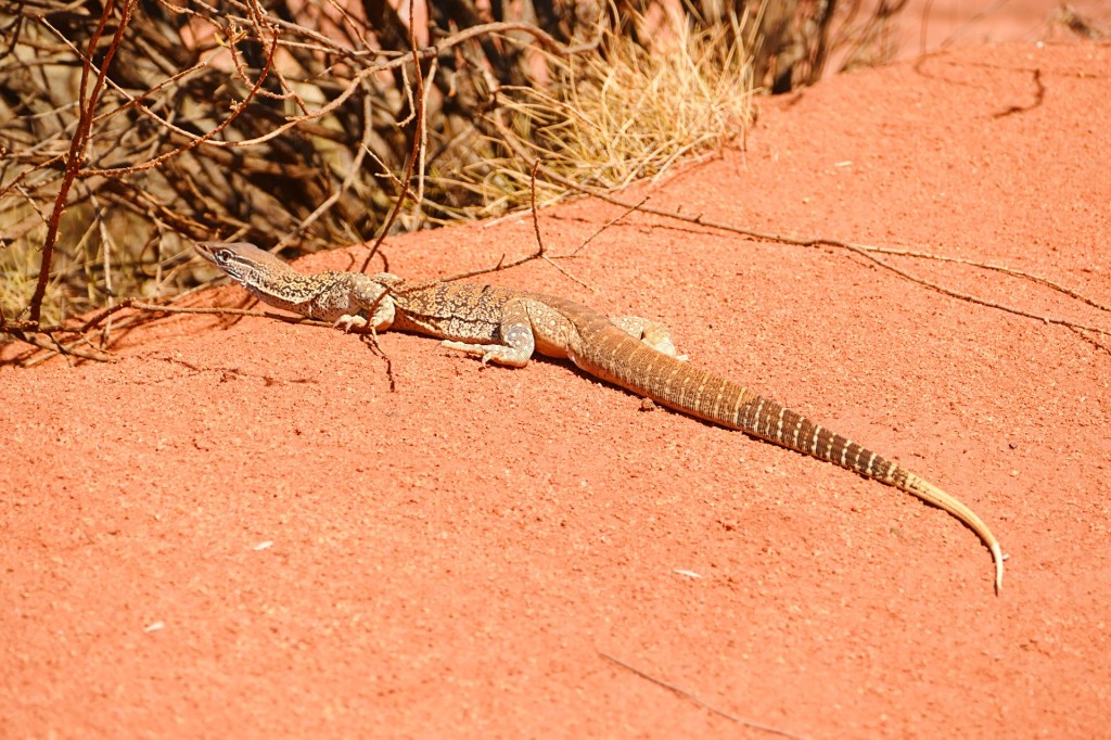
The road was more challenging on this leg, the sand was softer, the dunes were taller but most challenging was the overhang from the trees and shrubs. Branches would break off and get stuck in various perentie crevasses.
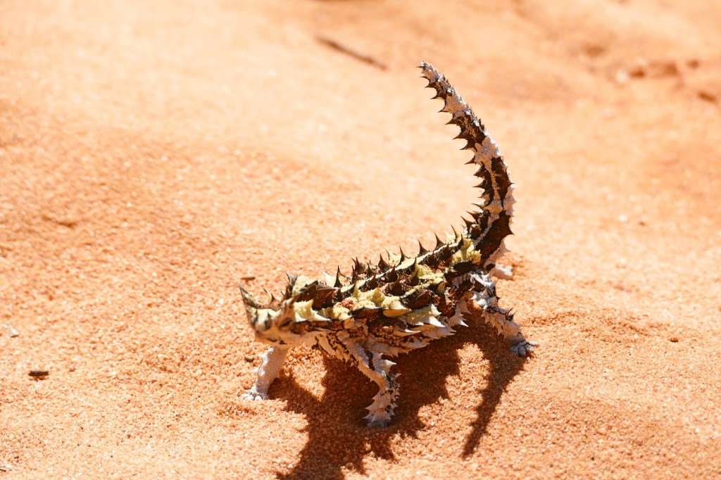
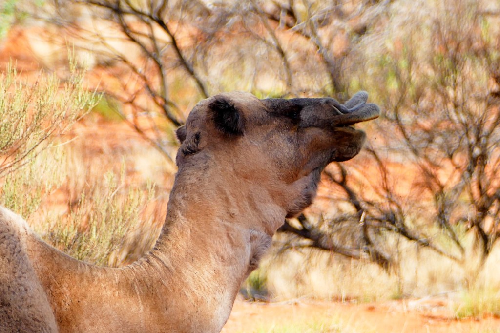
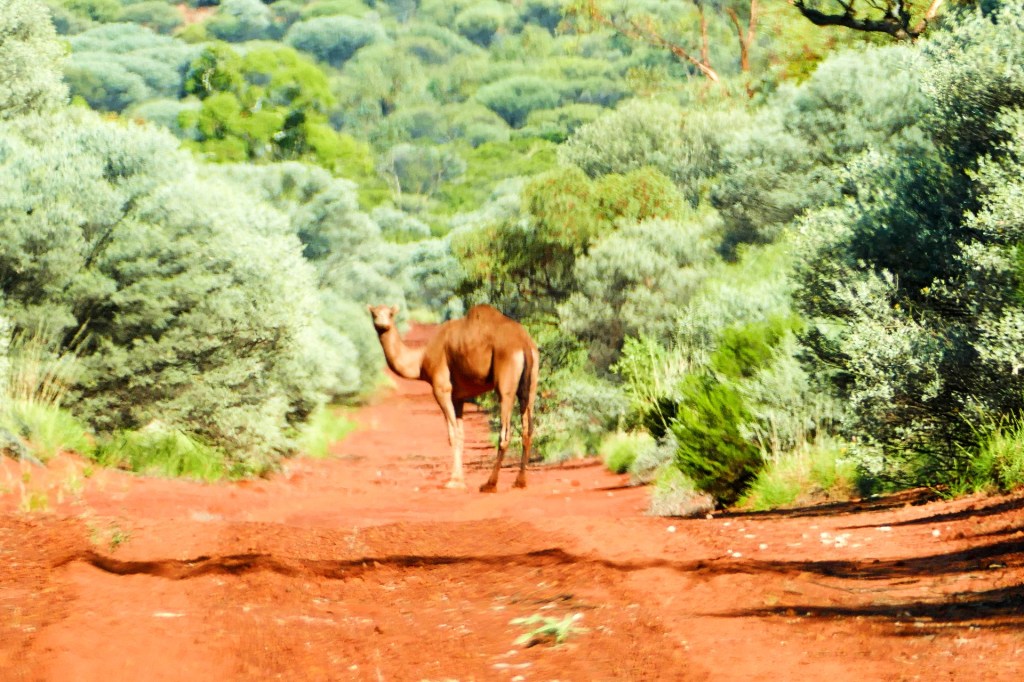
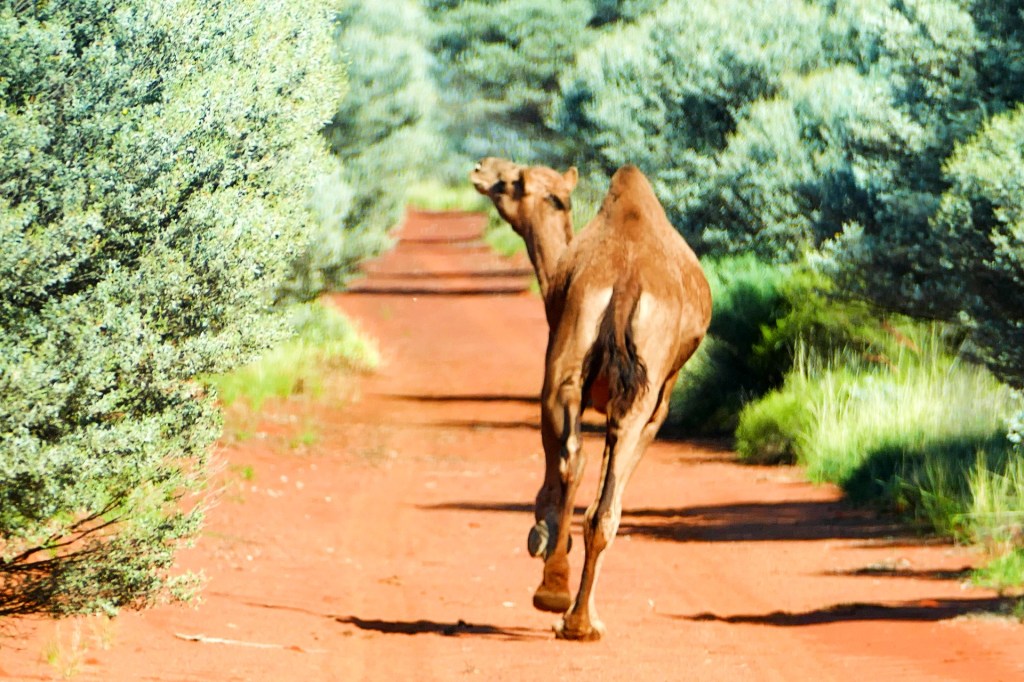
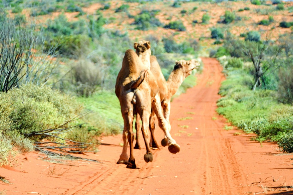
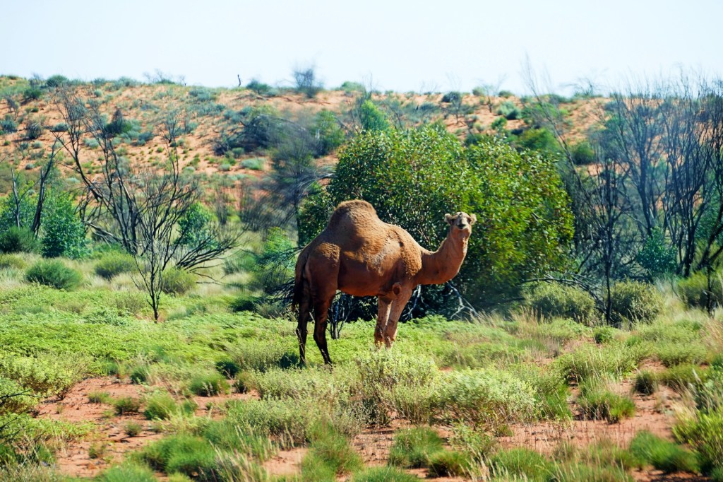
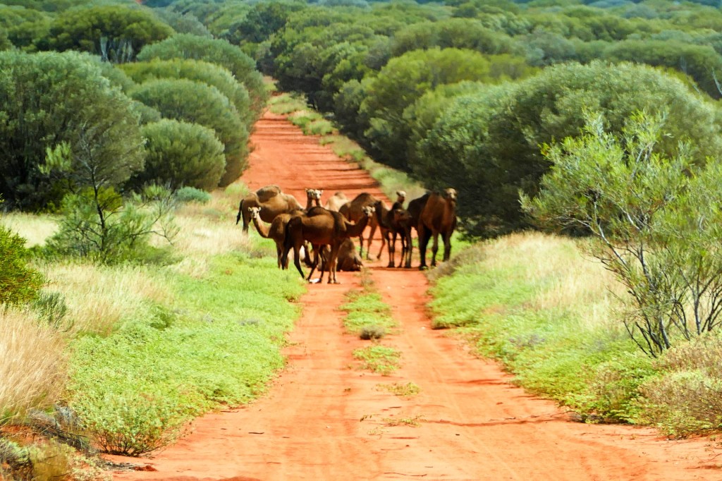
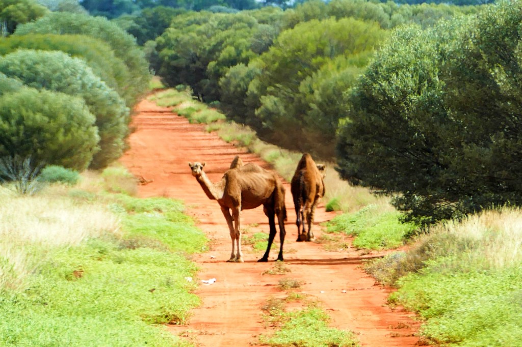
There was lots to see on this track, we even saw some camel tracks, but not a camel.
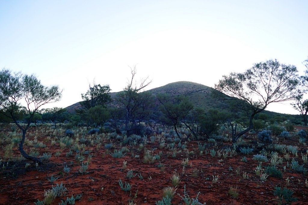
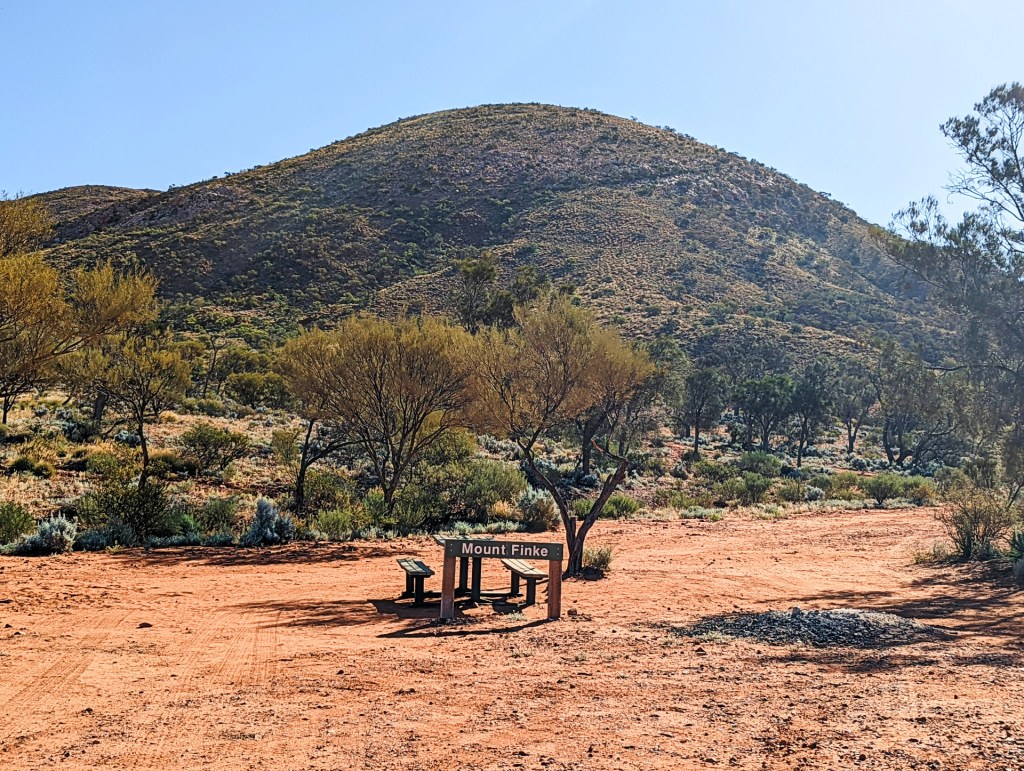
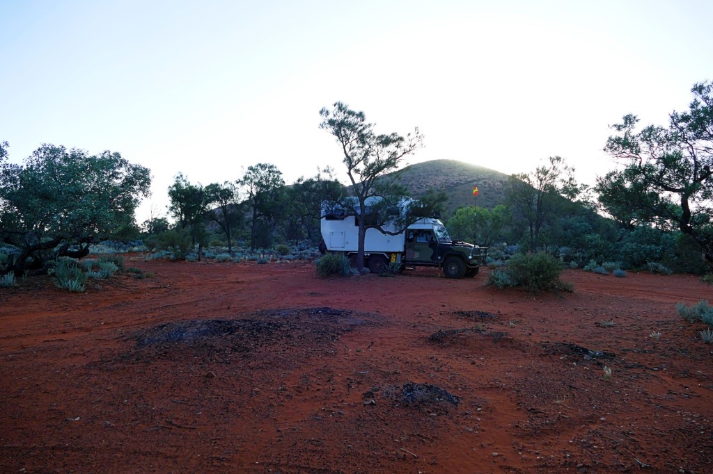
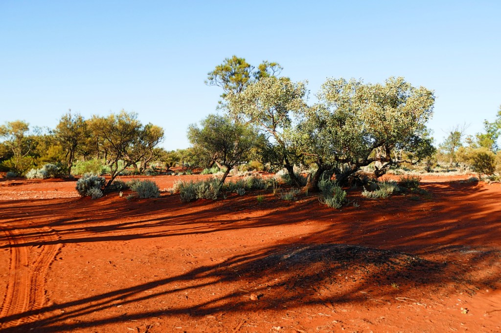
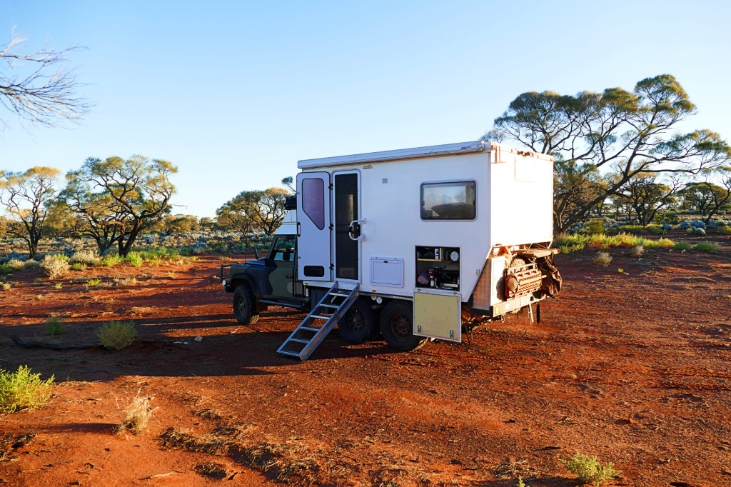
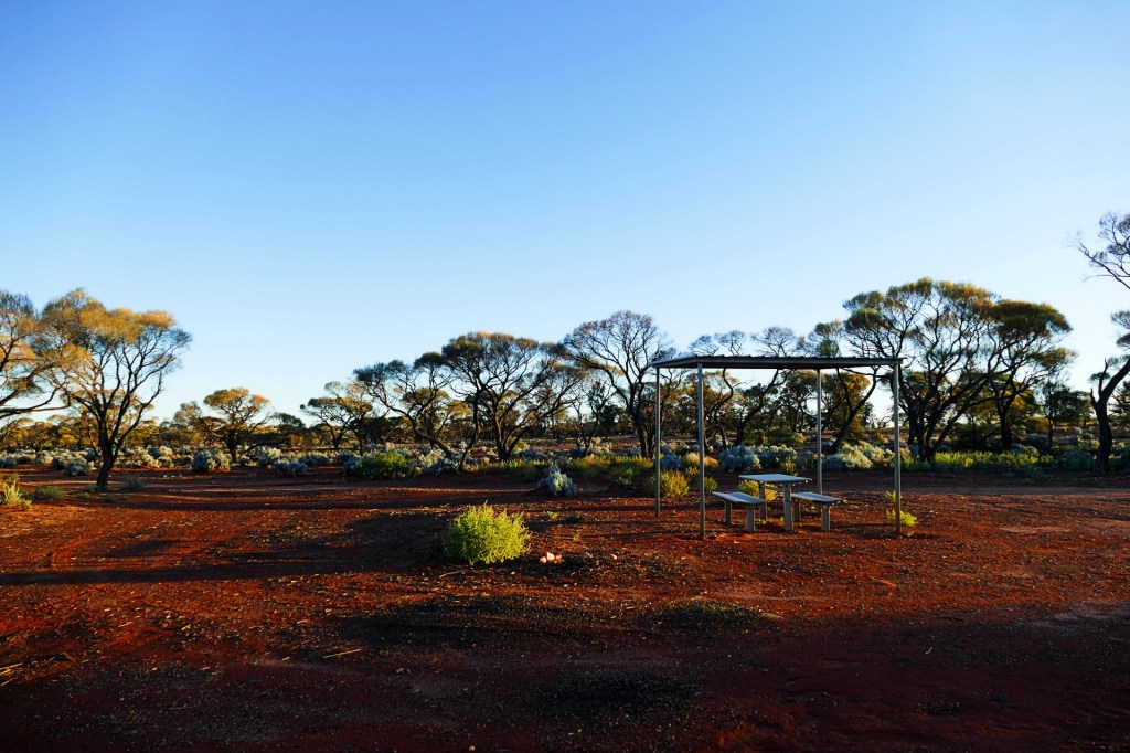
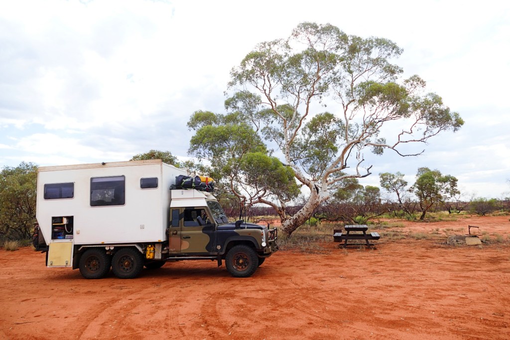
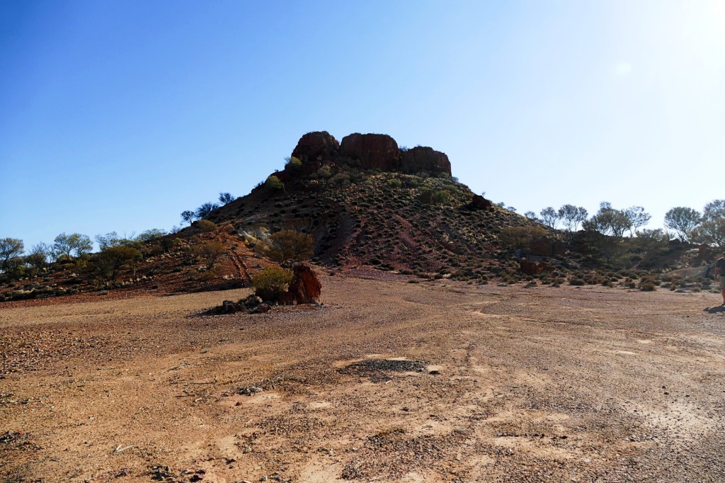
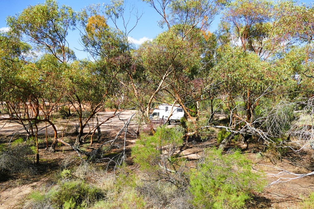
We spent the night at Mount Finke, it is a designated camp area on the track, very pretty, no facilities but picturesque.
Day 57, Sunday 3rd April, 2022
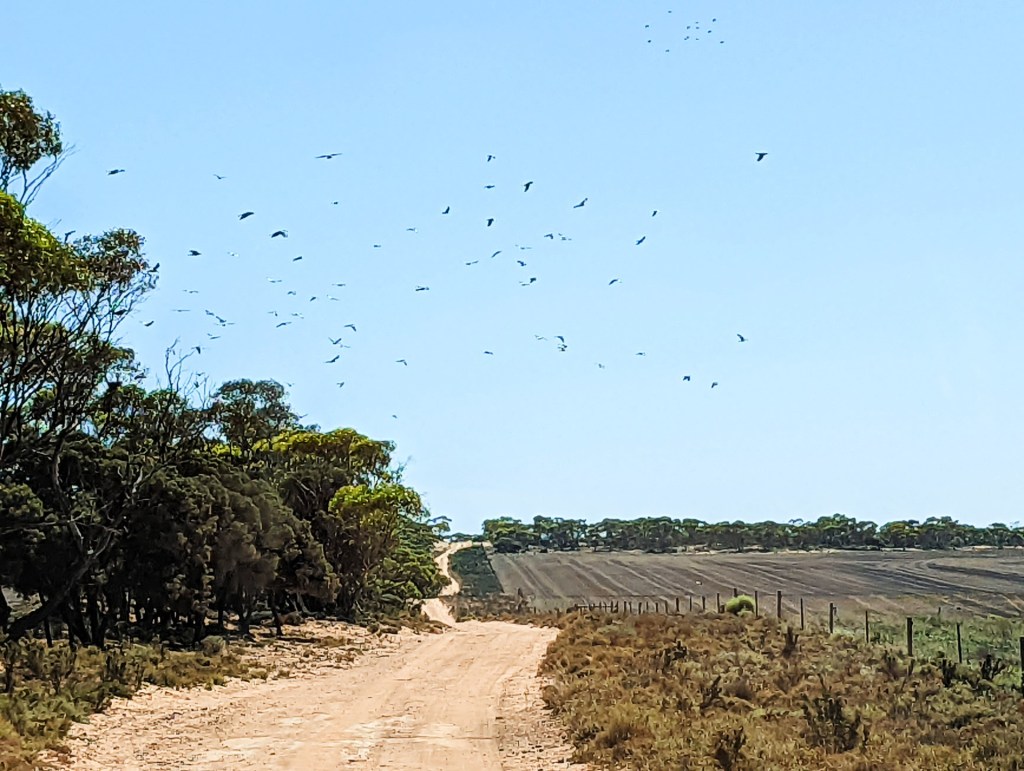
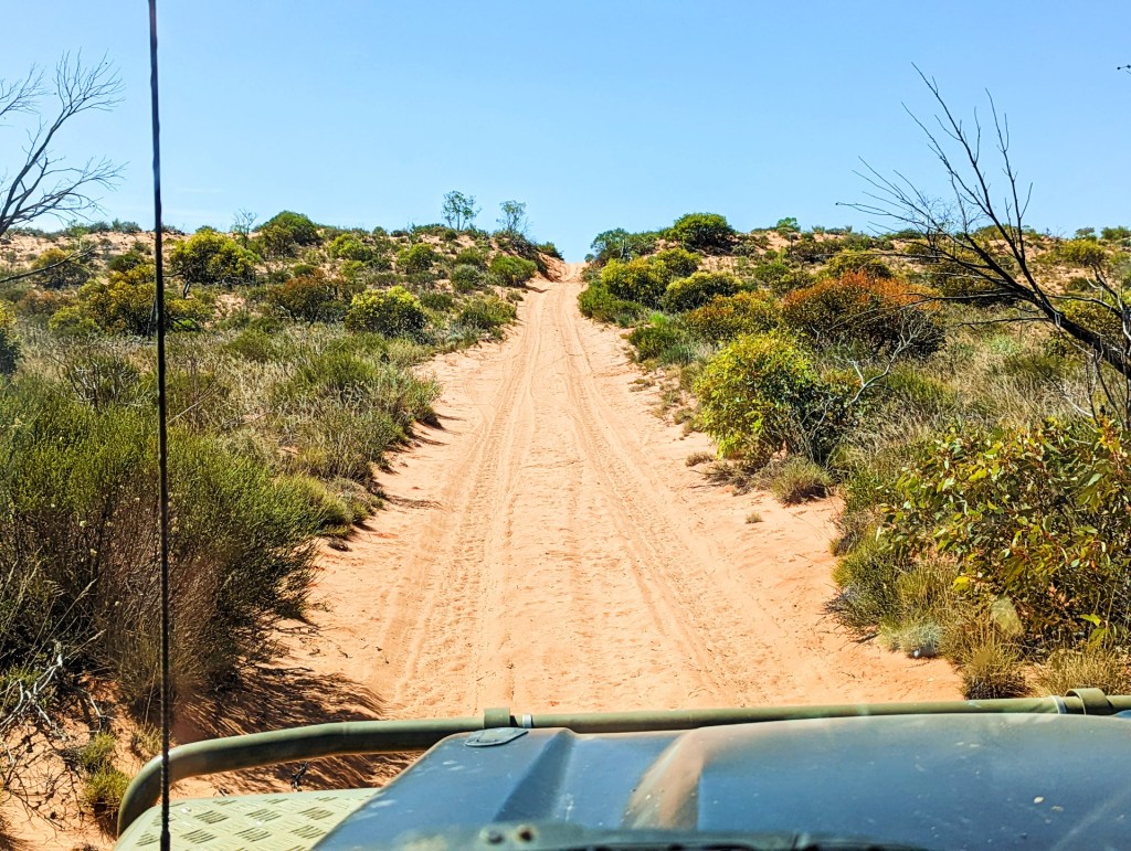
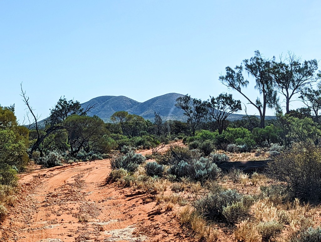
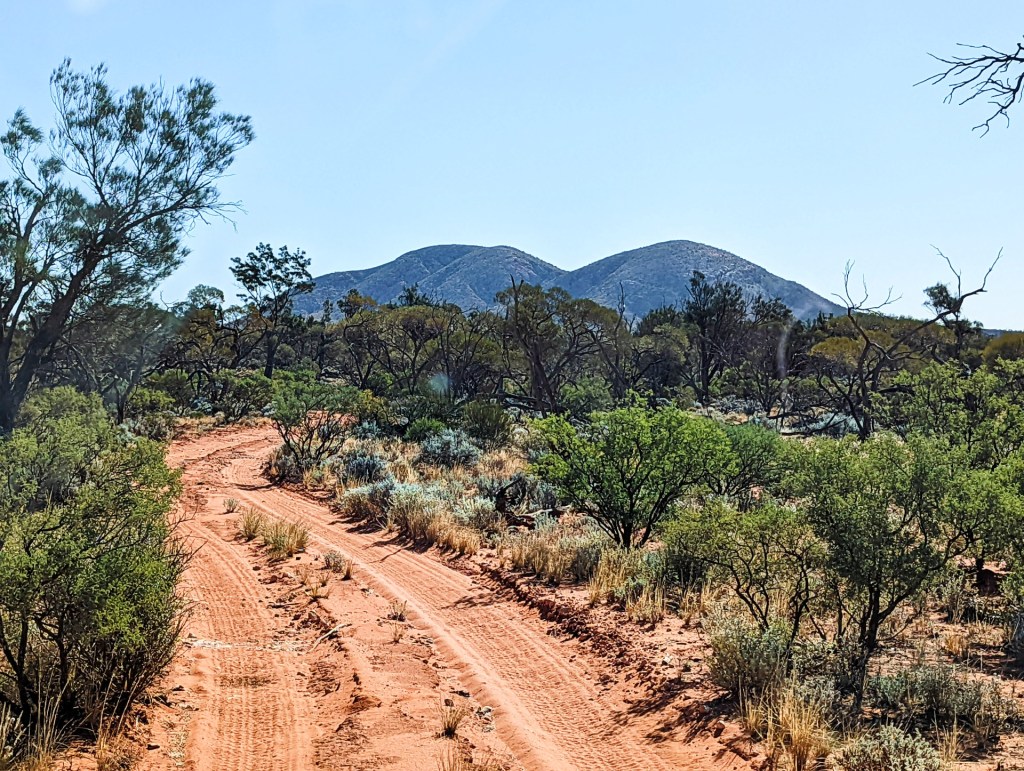
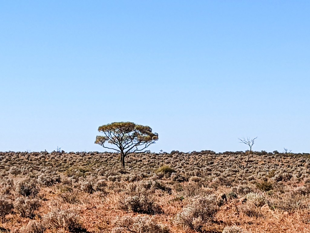
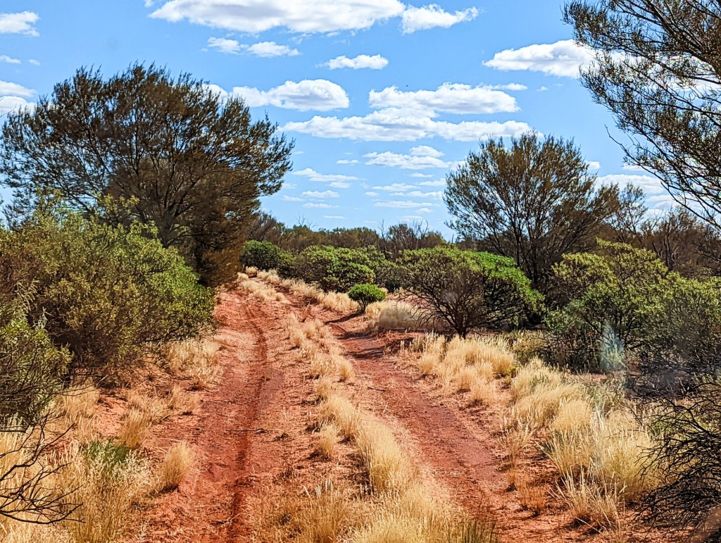
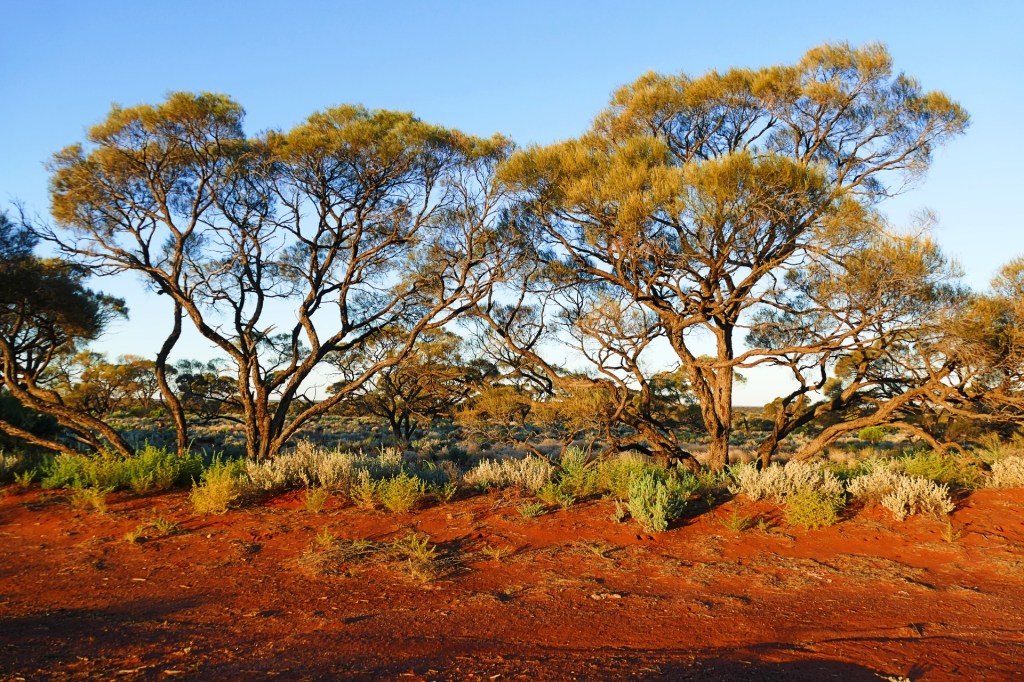
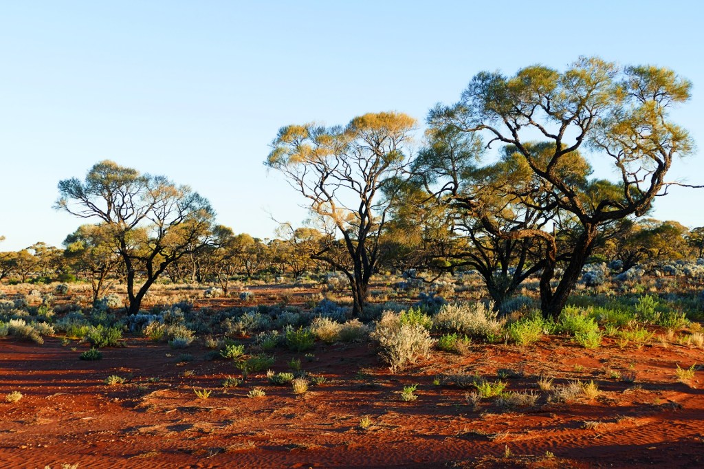
This was our third and last leg of the trip on Goog’s Track. The track changed constantly over the trip, rocky, sandy, dirt, we even crossed a salt lake.
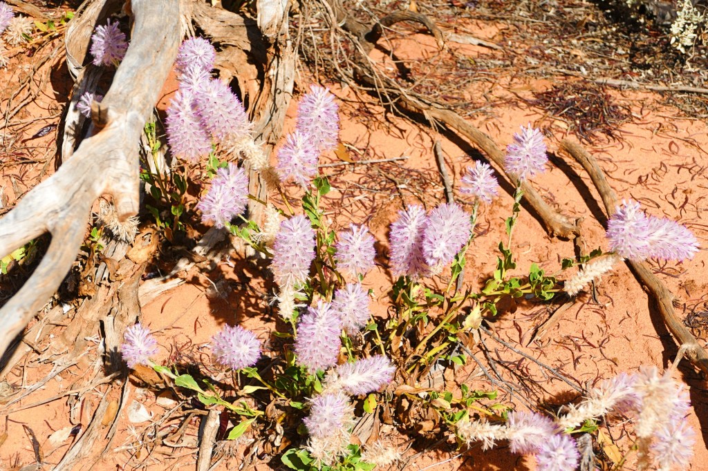
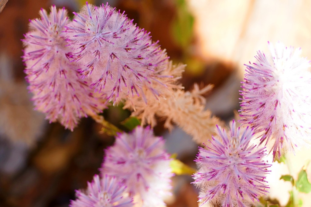
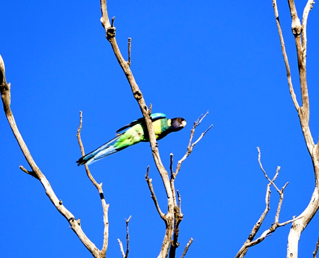
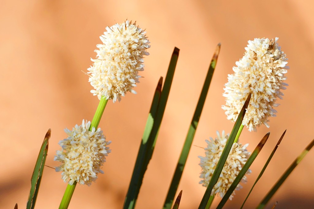
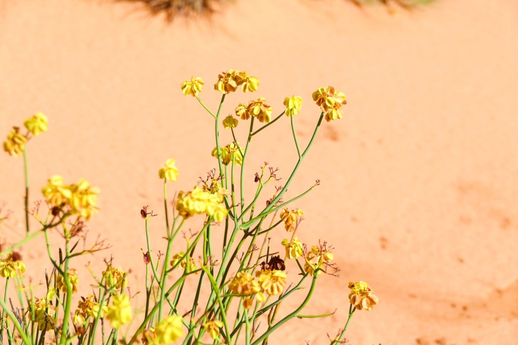
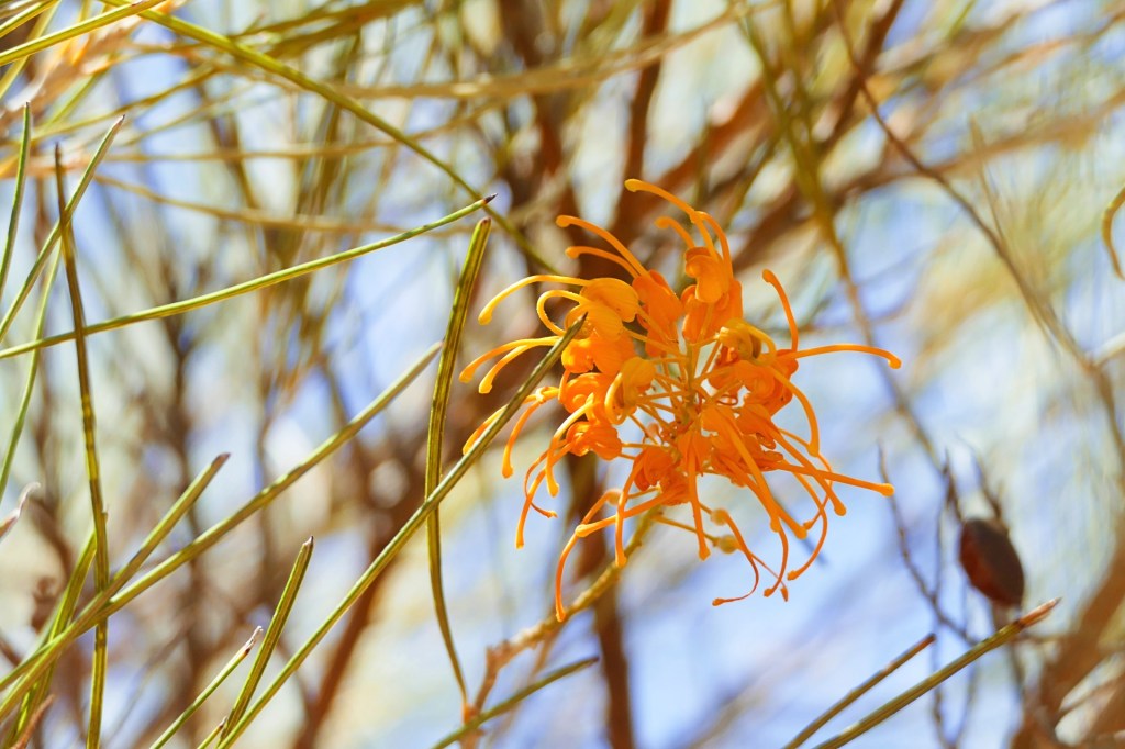
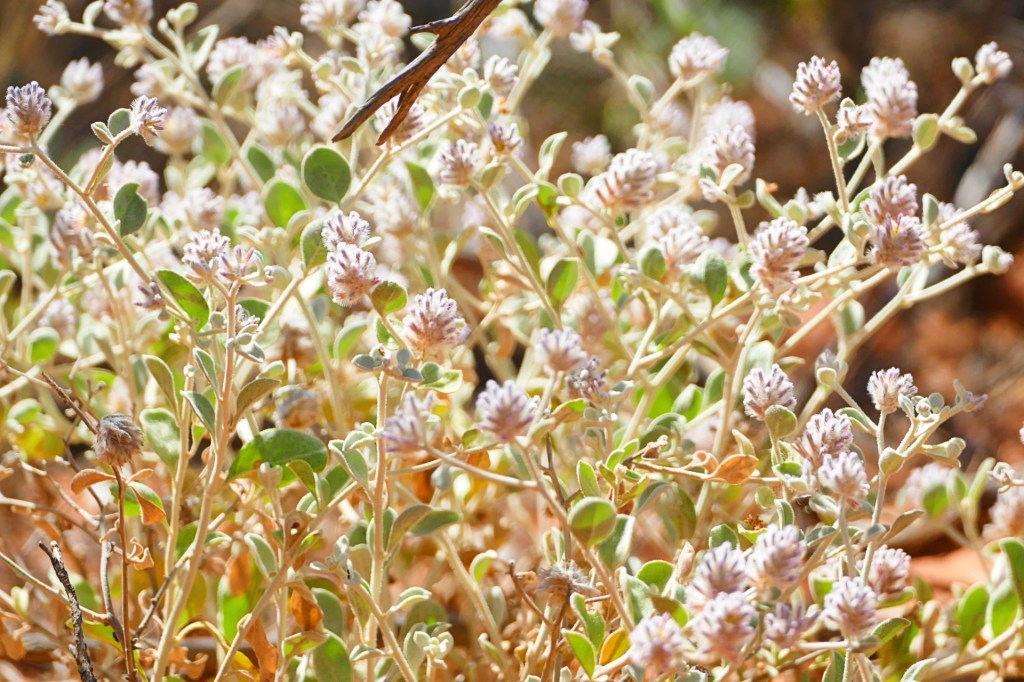
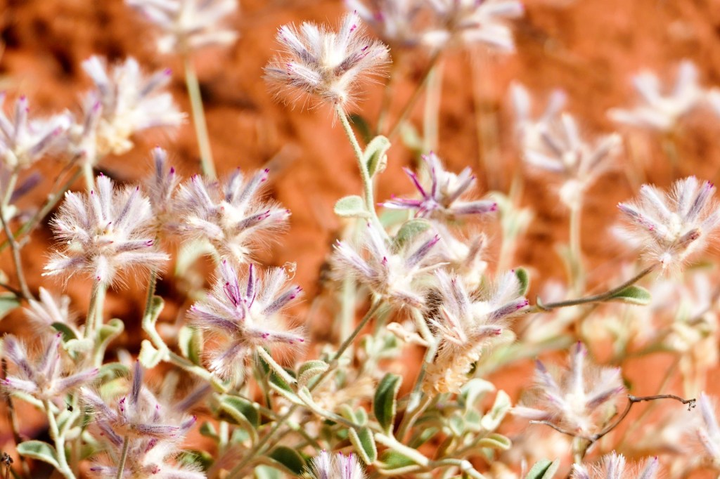
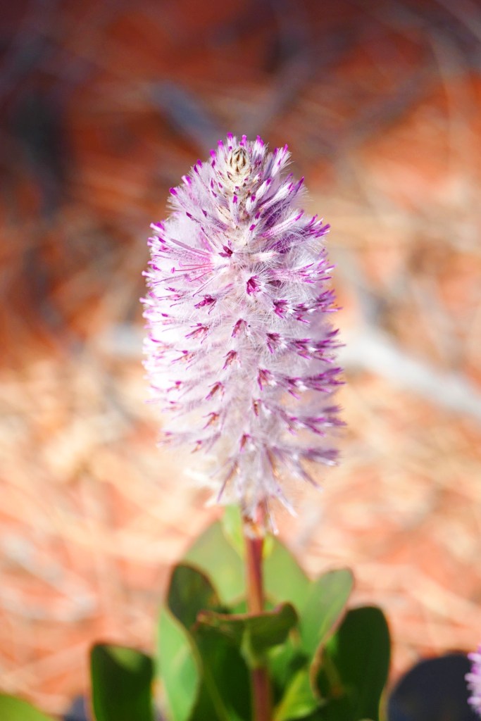
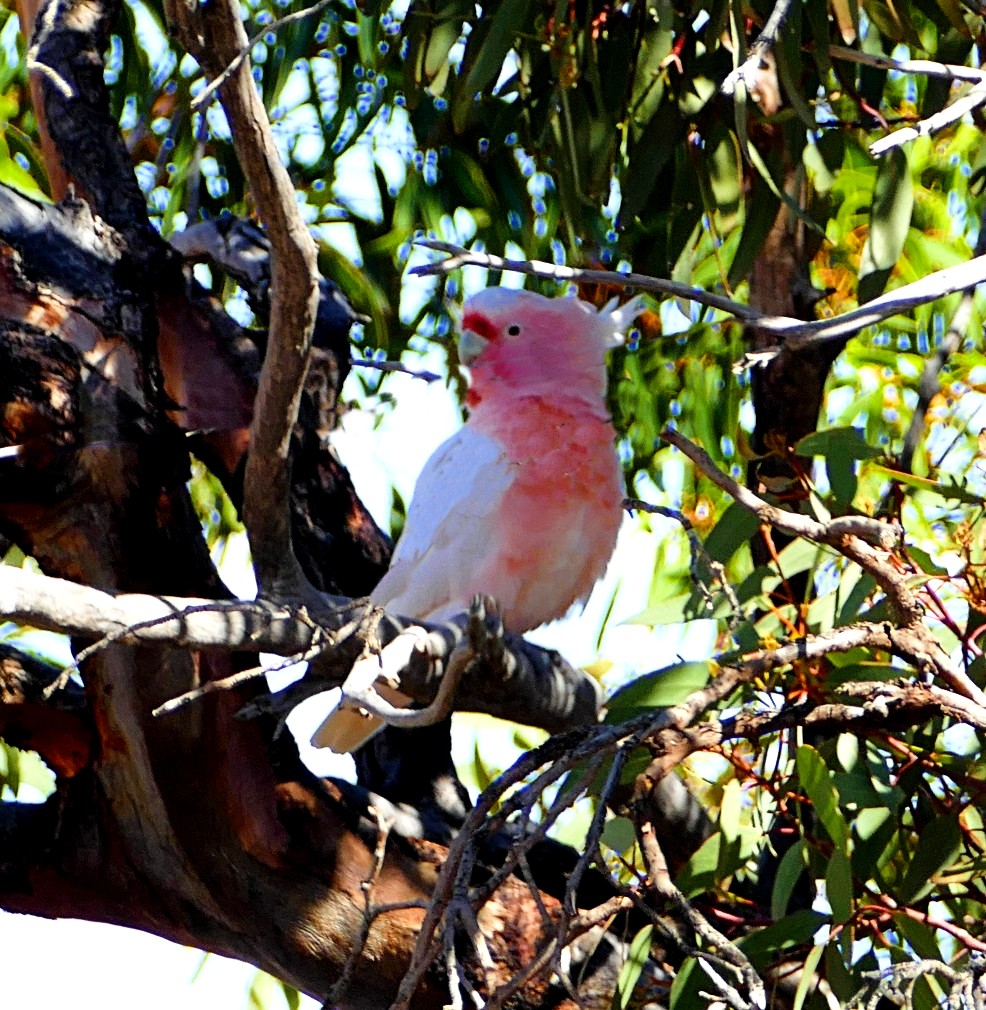
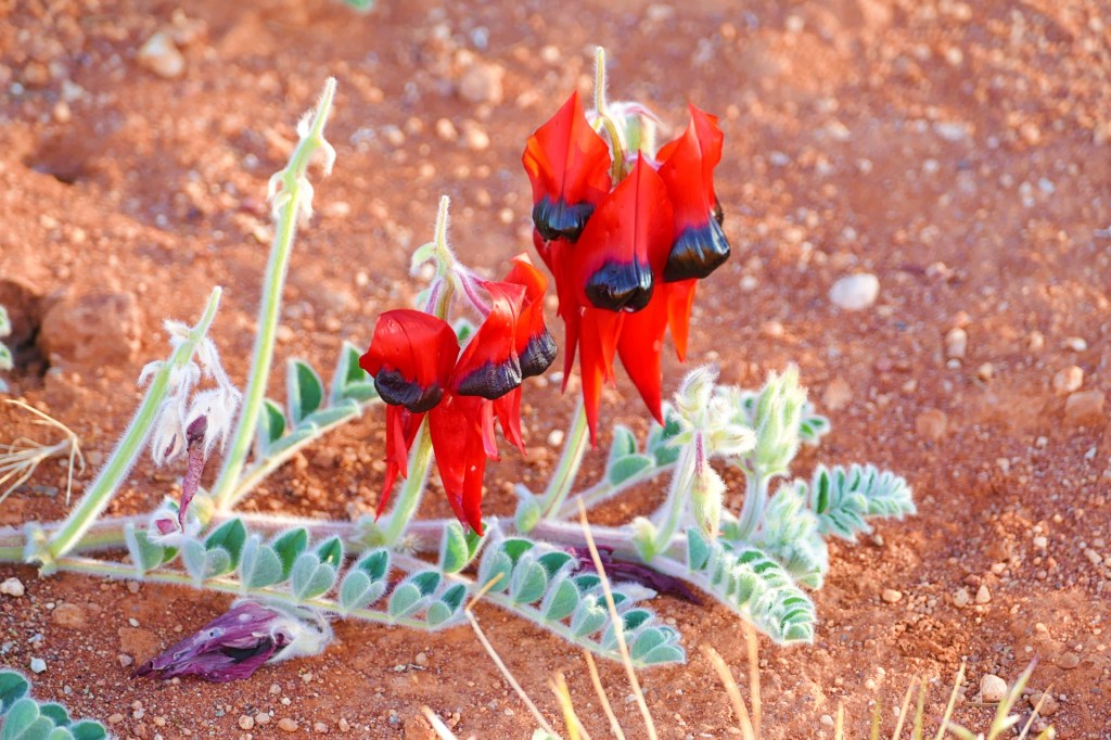
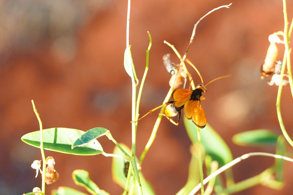
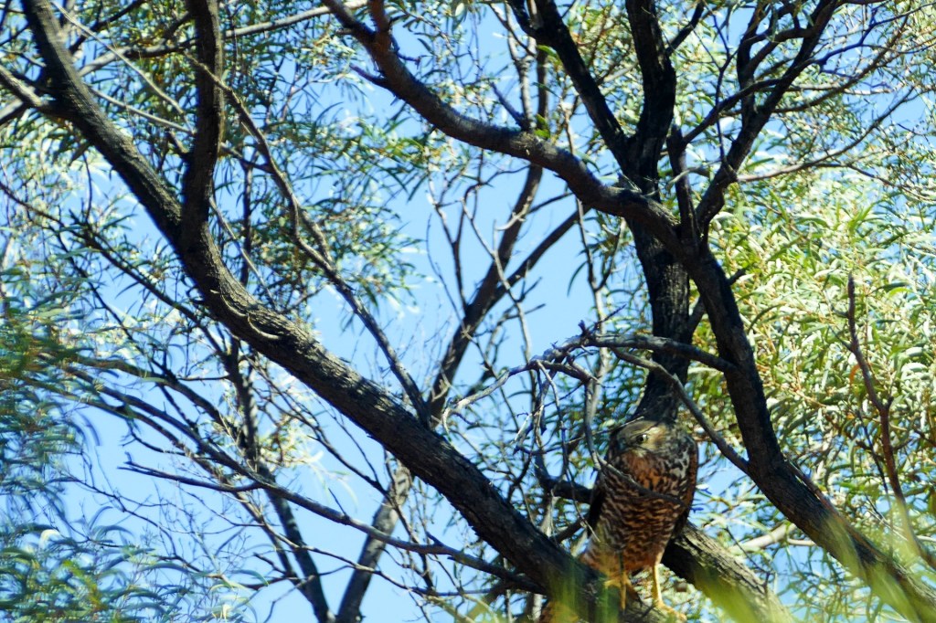
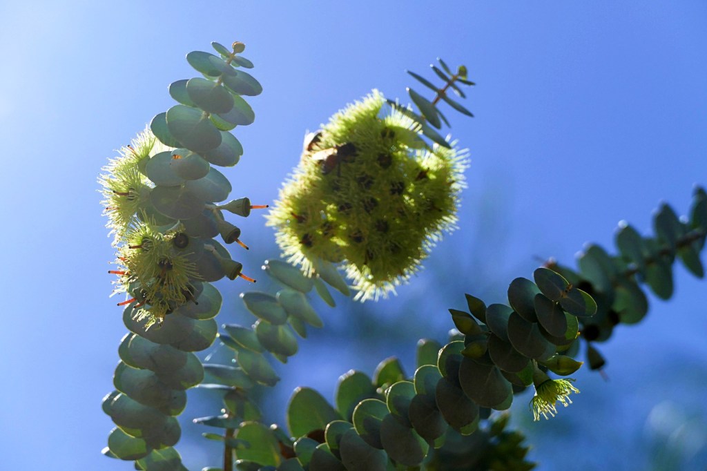
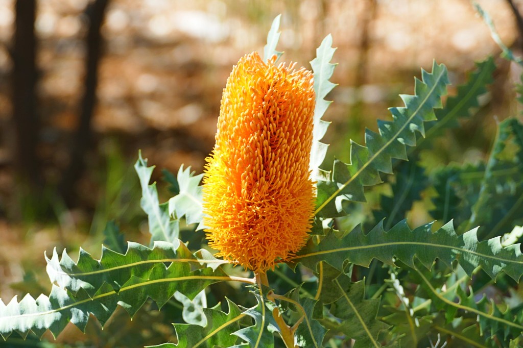
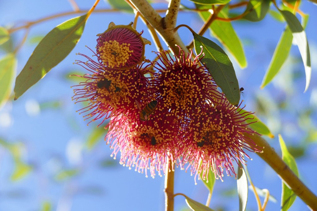
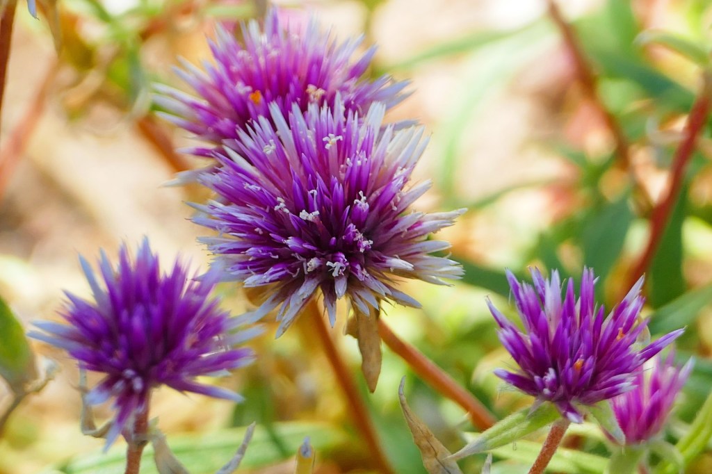
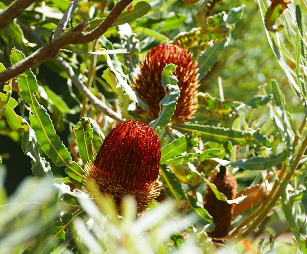
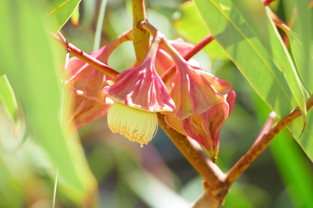
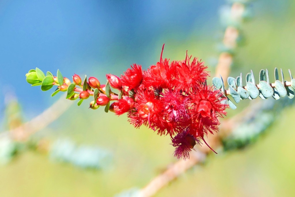
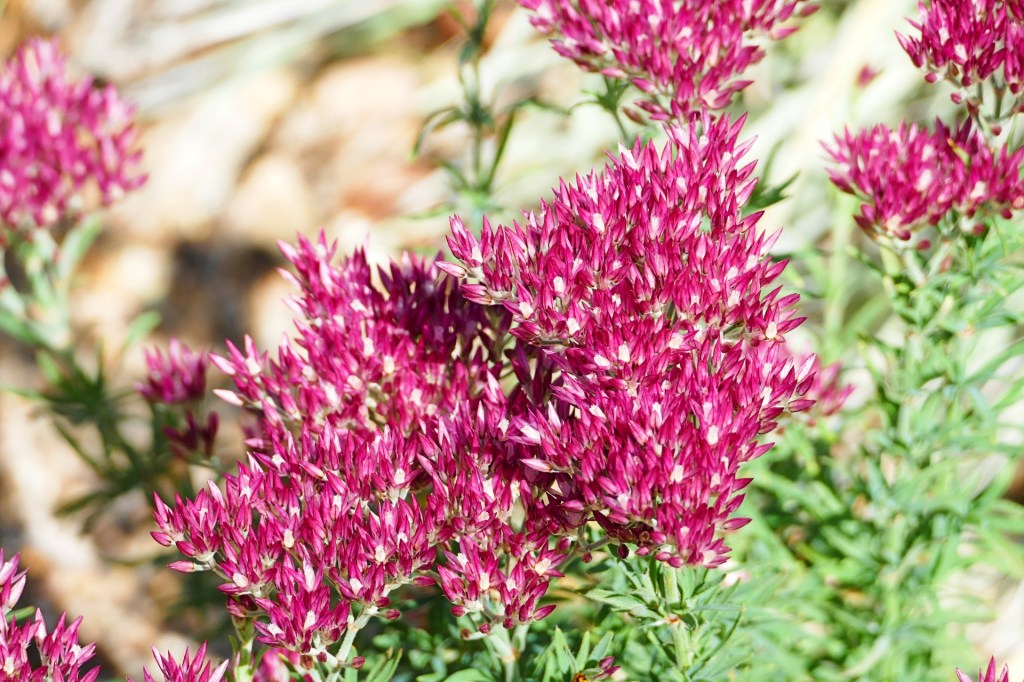
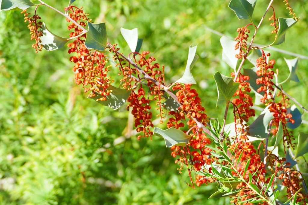
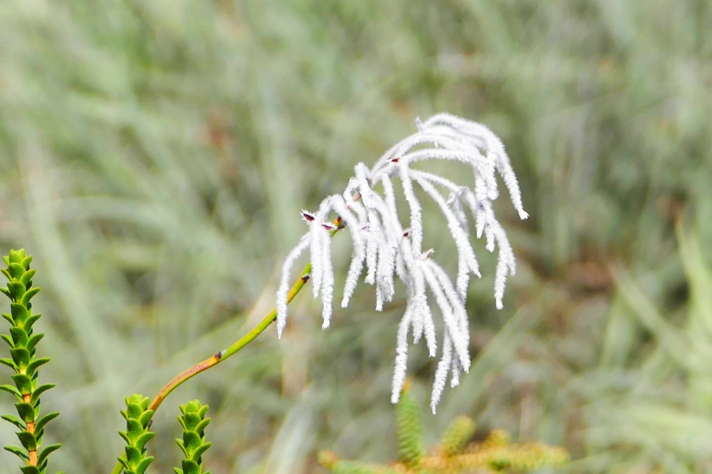
There continued to be lots of wildflowers.

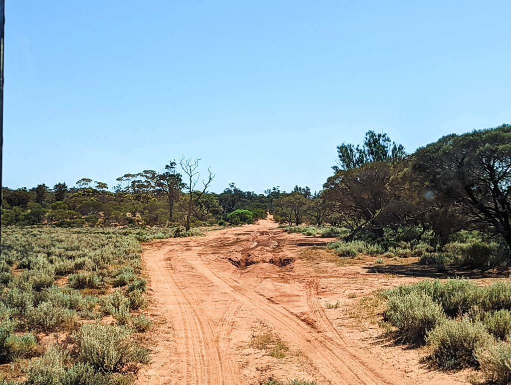
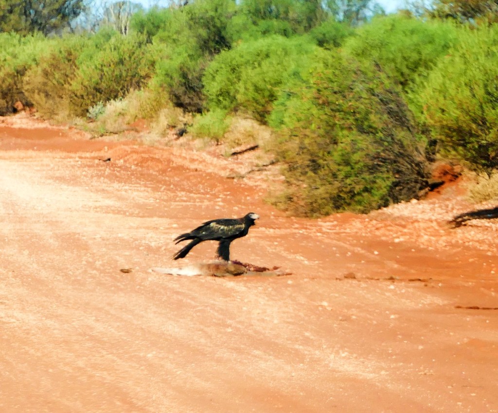
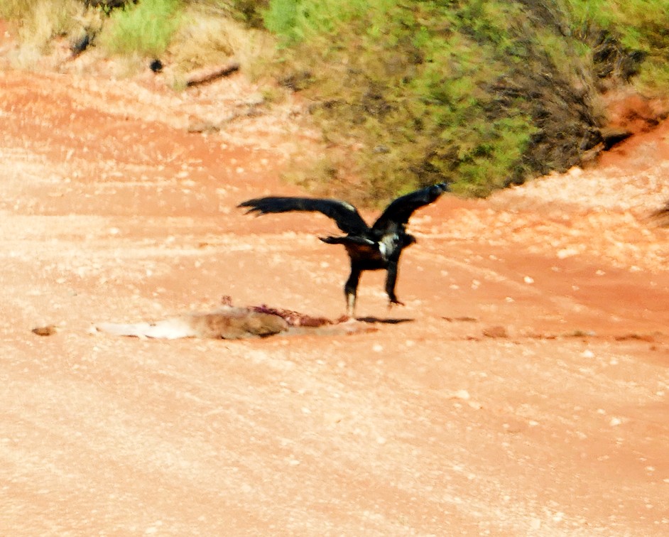
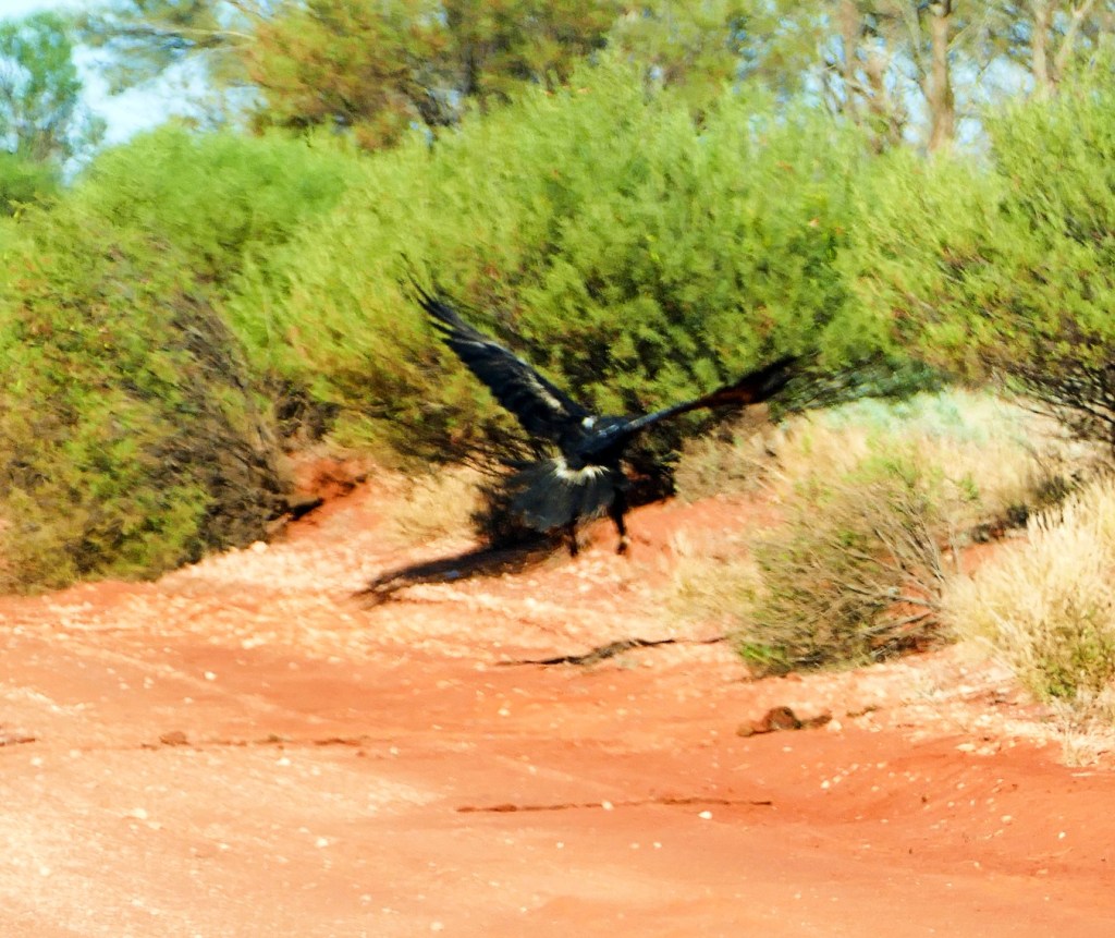
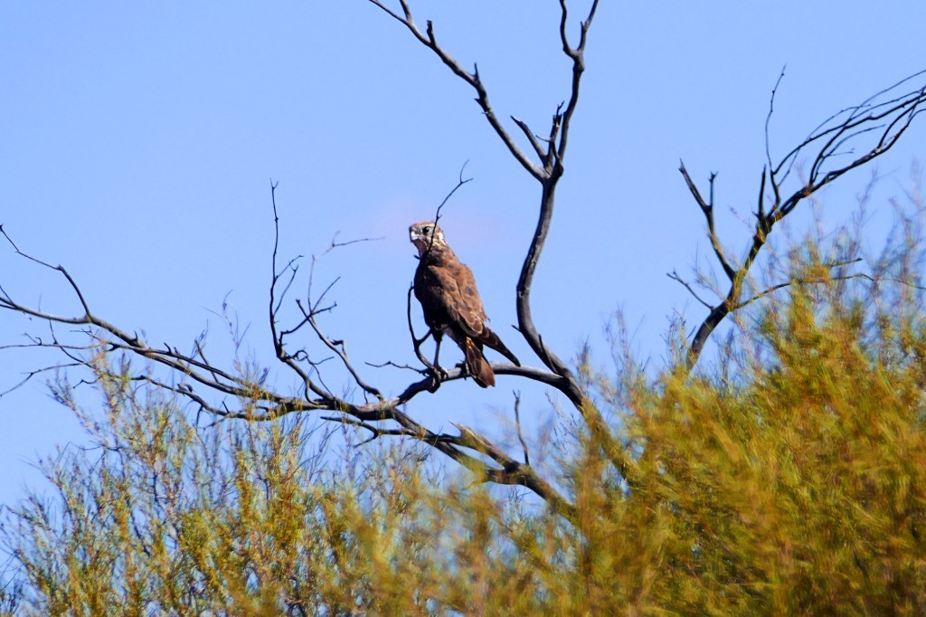
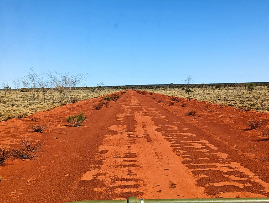
We turned right off Goog’s Track onto the Karcoola Kingoonya Road, which followed the railway line. the road was very well maintained and we got to see lots of Wedge Tailed Eagles, they would feed on the Kangaroo carcases along the road.

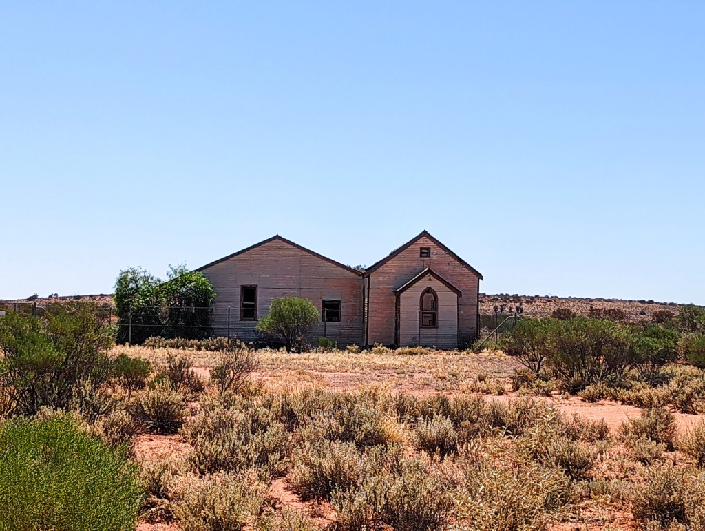
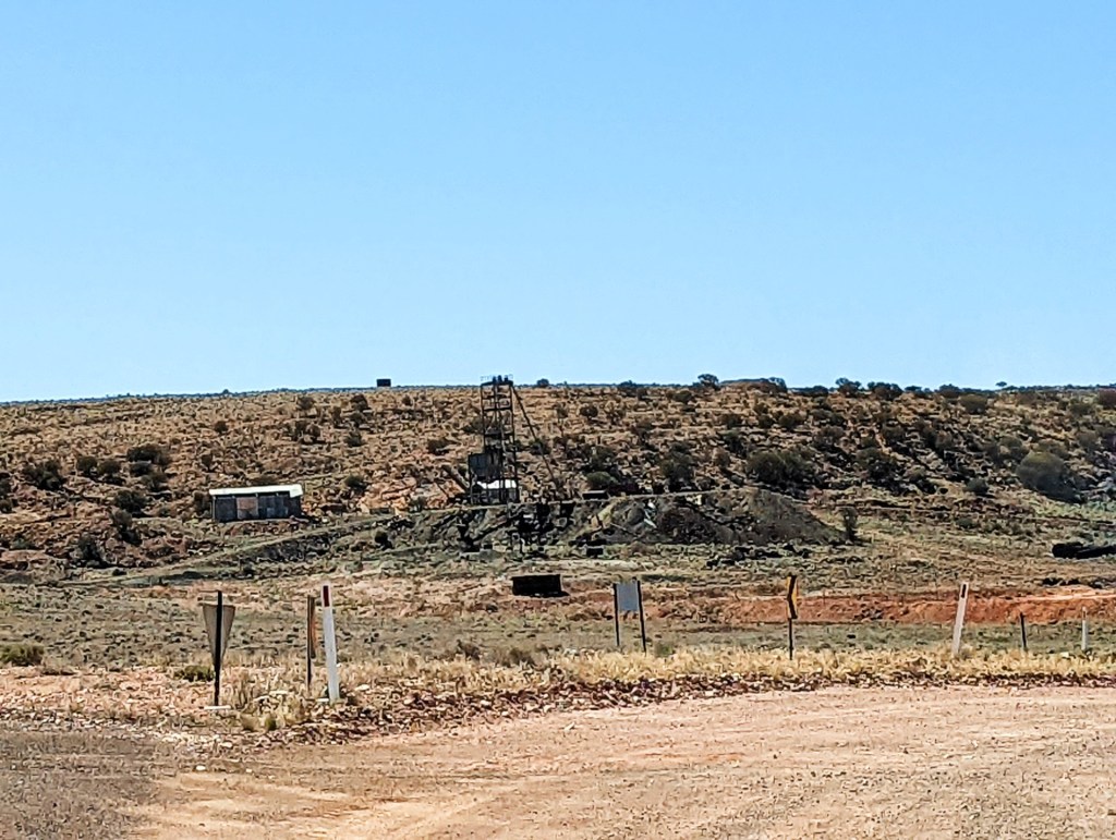
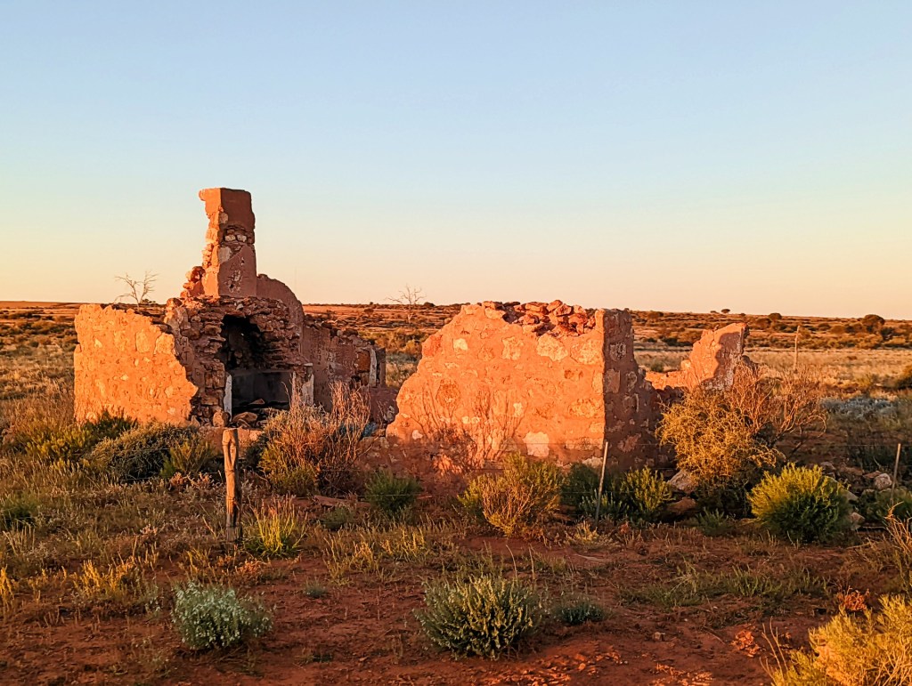
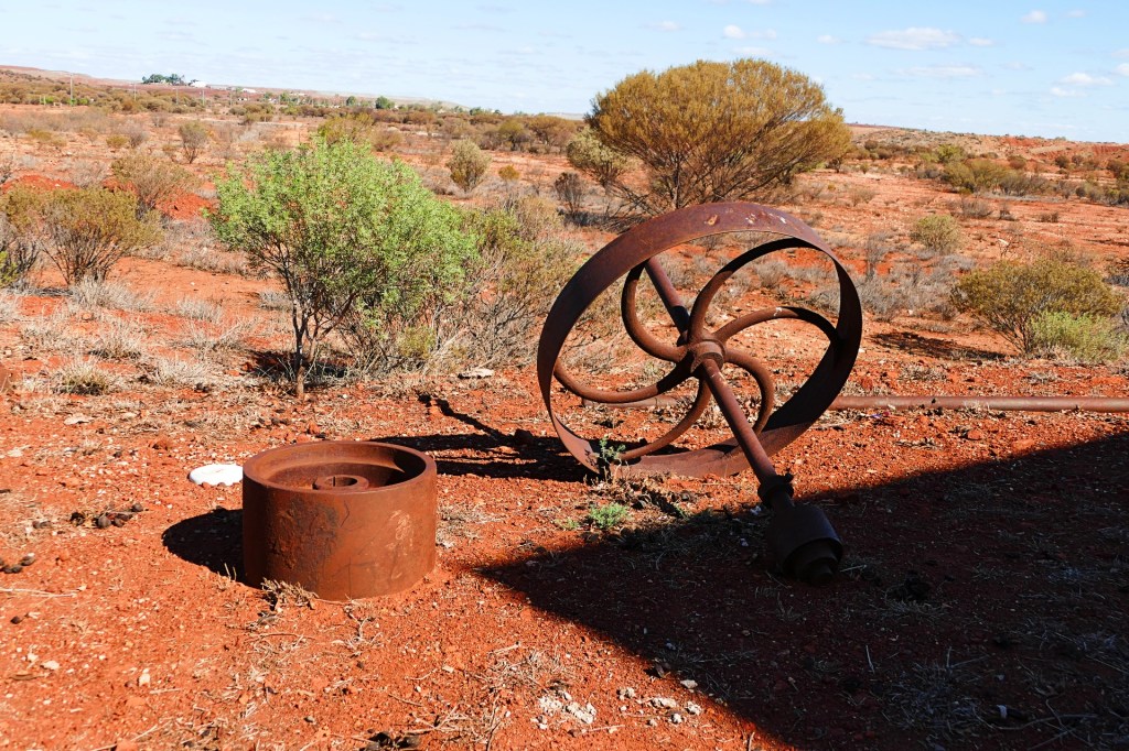
We stopped for lunch at an abandoned town called Karcoola. Not much there, but we had a look around, it was once a thriving gold mining town with over 2000 people living there.
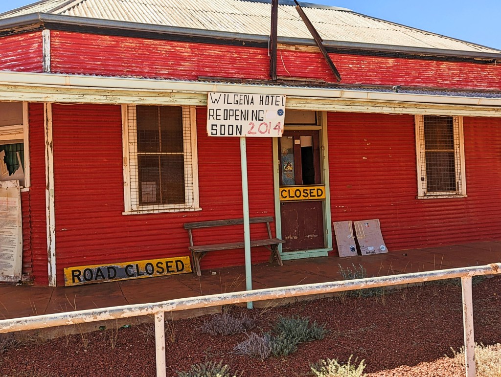
We stopped in for a drink at the pub in Kingoonya. Just a little town, we chatted with the locals, lots of characters, all with a great story that they were happy to tell.
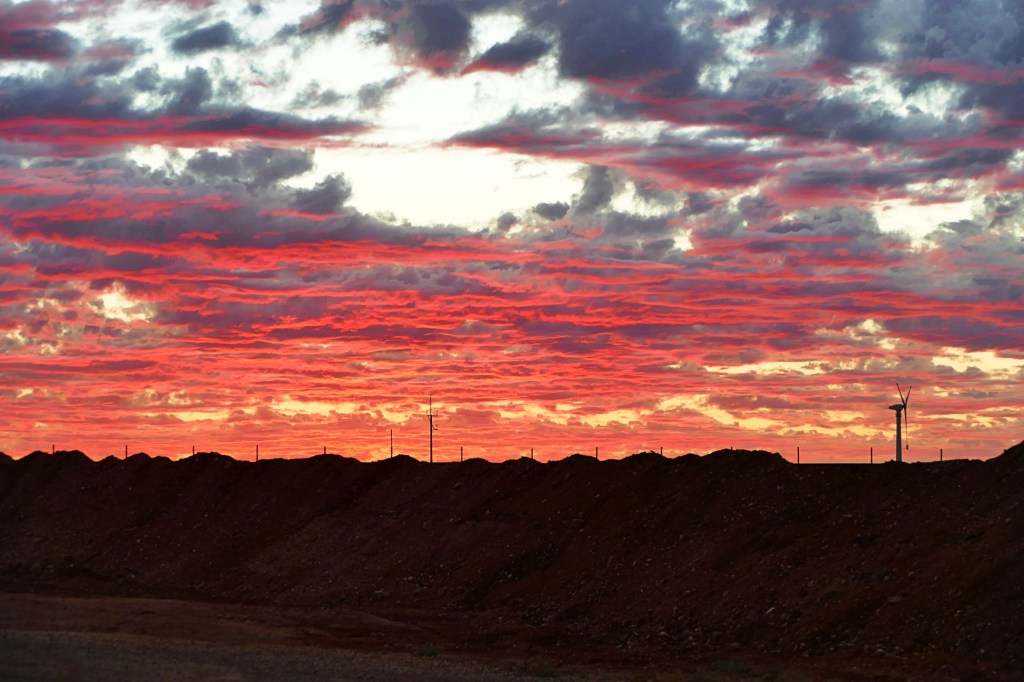
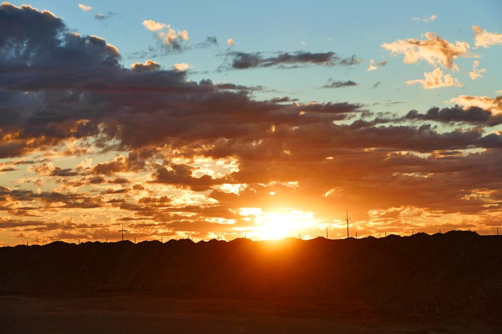
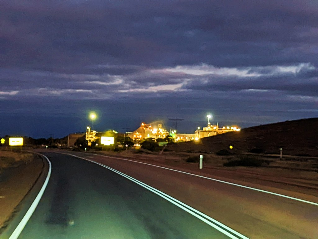
We left Kingoonya and decided to travel a little longer to get closer to Coober Pedy on this trip. We stopped for fuel at Glendambo.
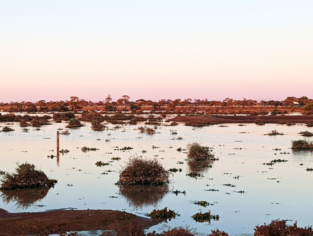
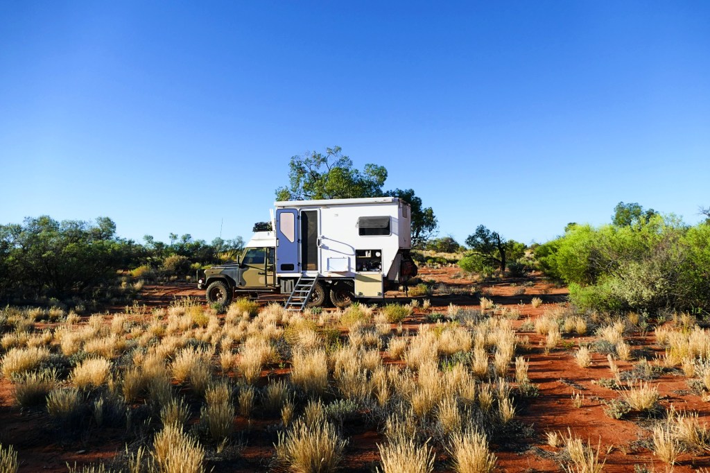
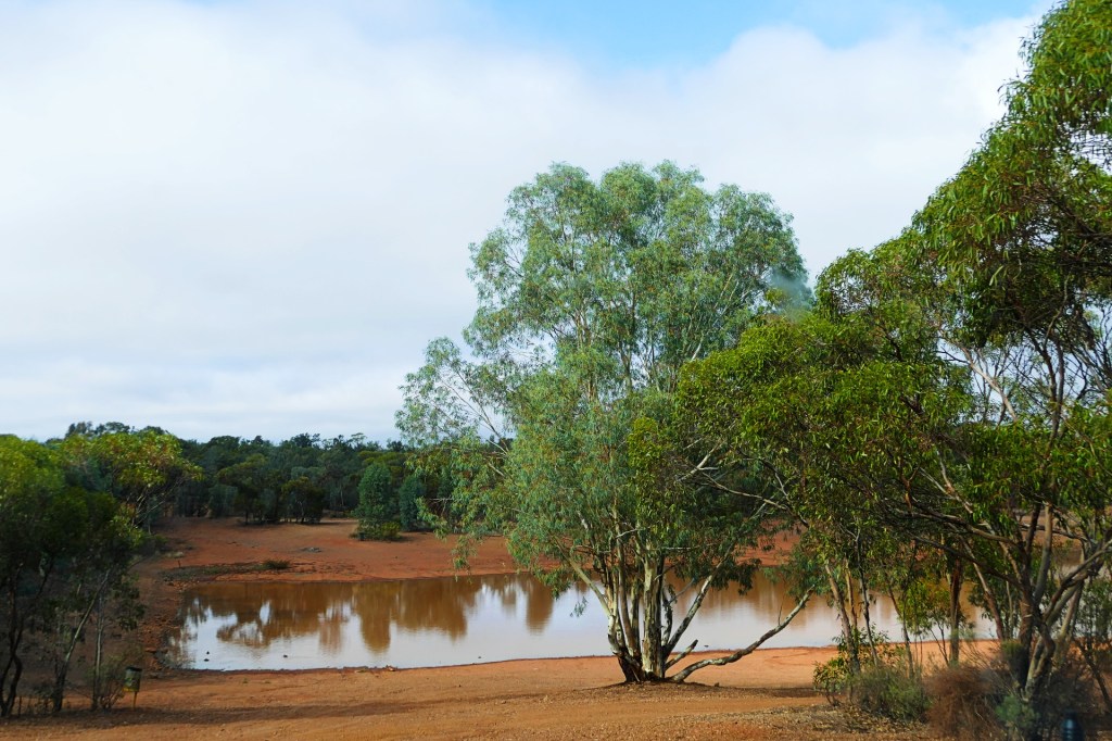
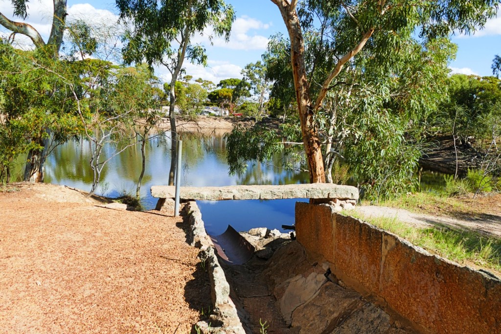
We found a free campsite at the Lake Ross rest area, it was off the road, but you could still hear the big trucks on the highway. The Lake was pretty.
Days 58 and 59, 4th and 5th April,2022
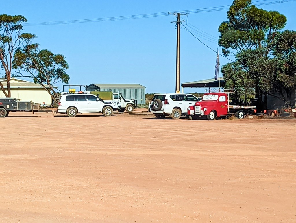
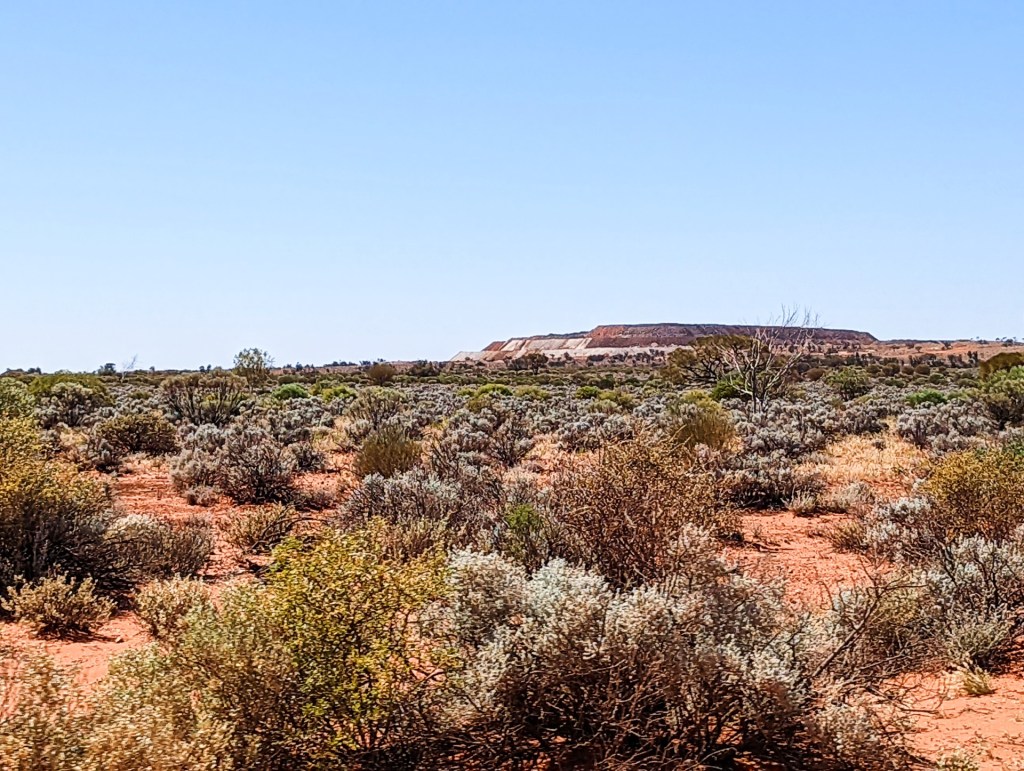
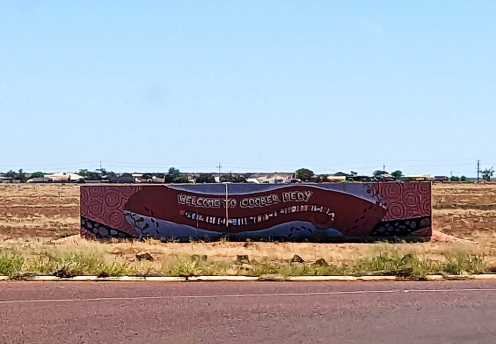
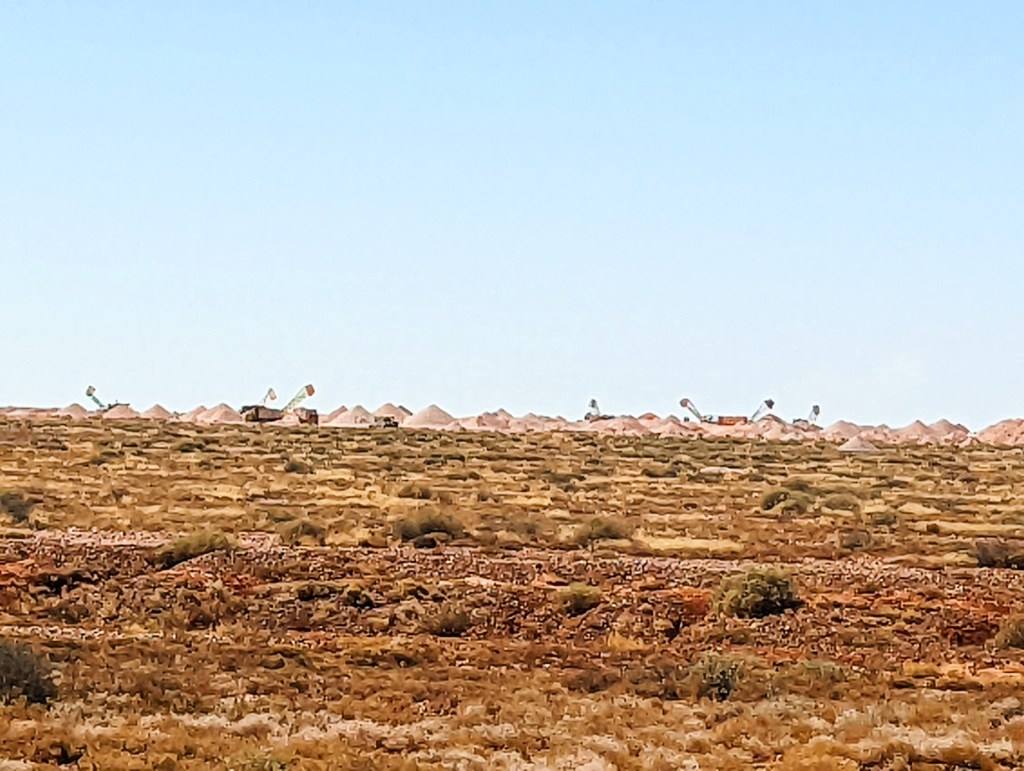
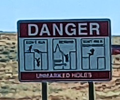
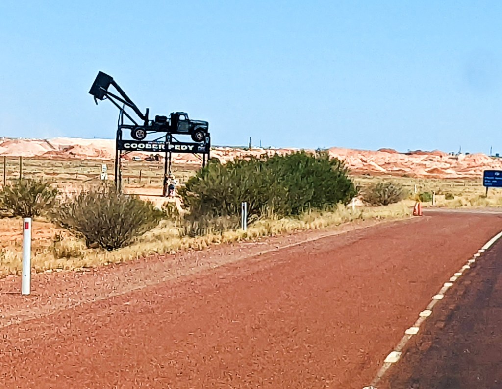
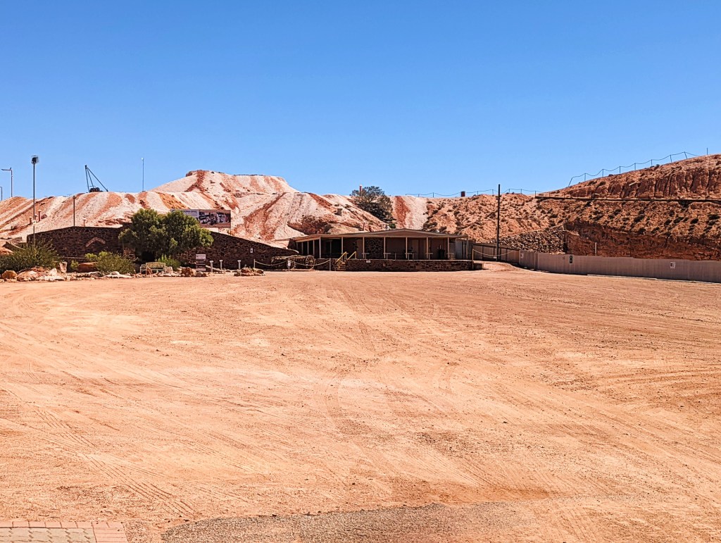
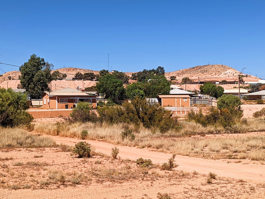
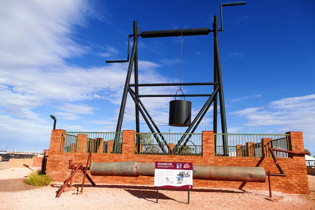
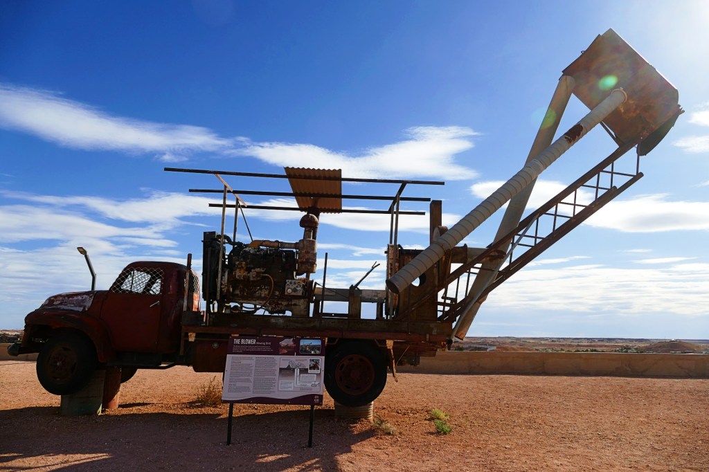
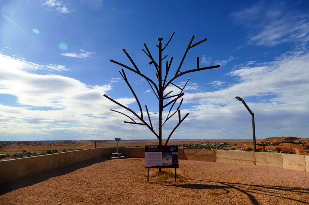
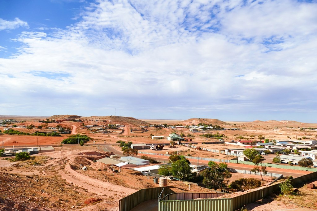
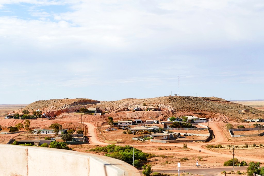
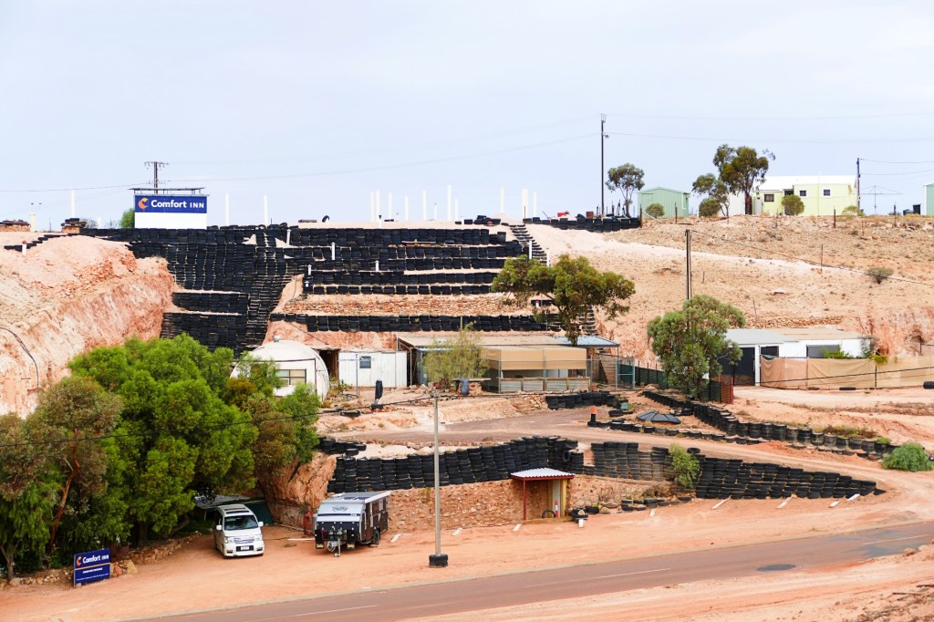
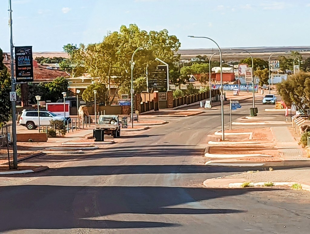
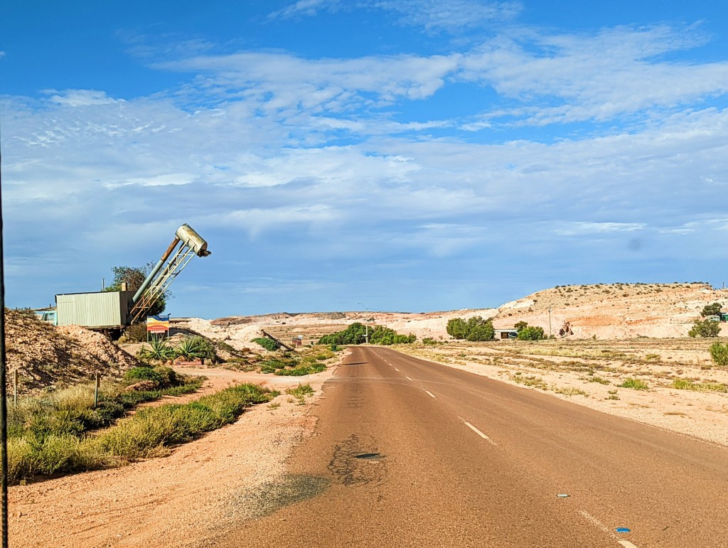
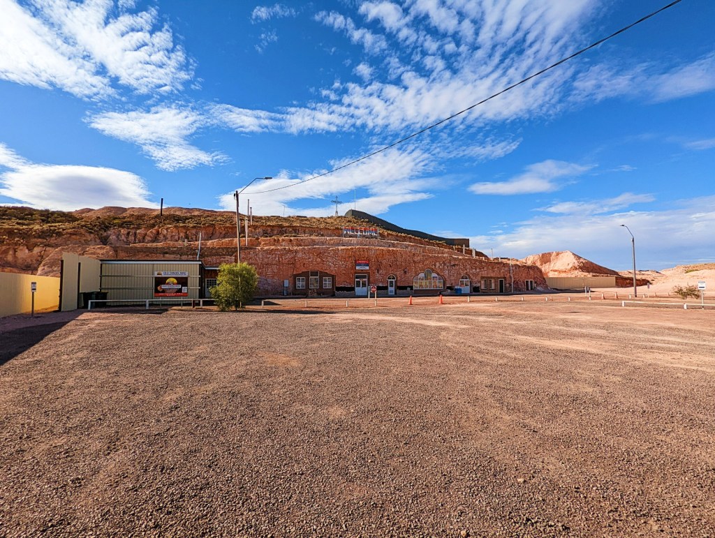
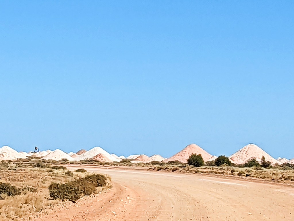
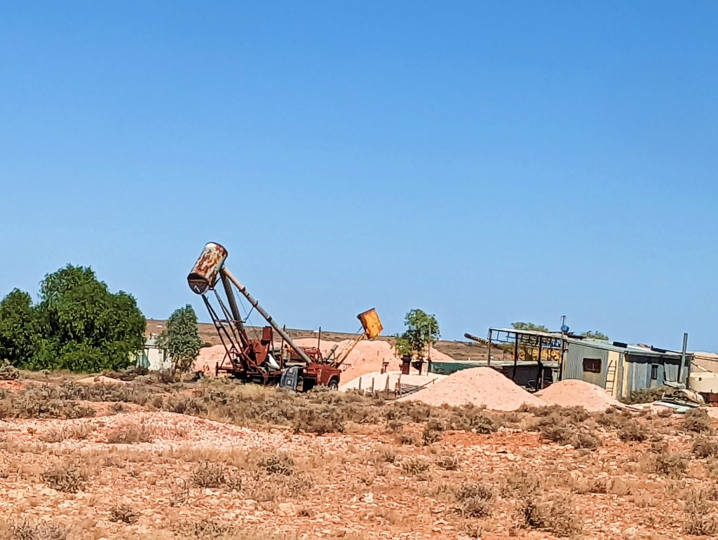
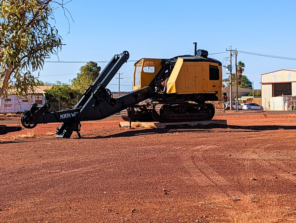
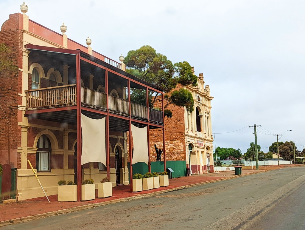
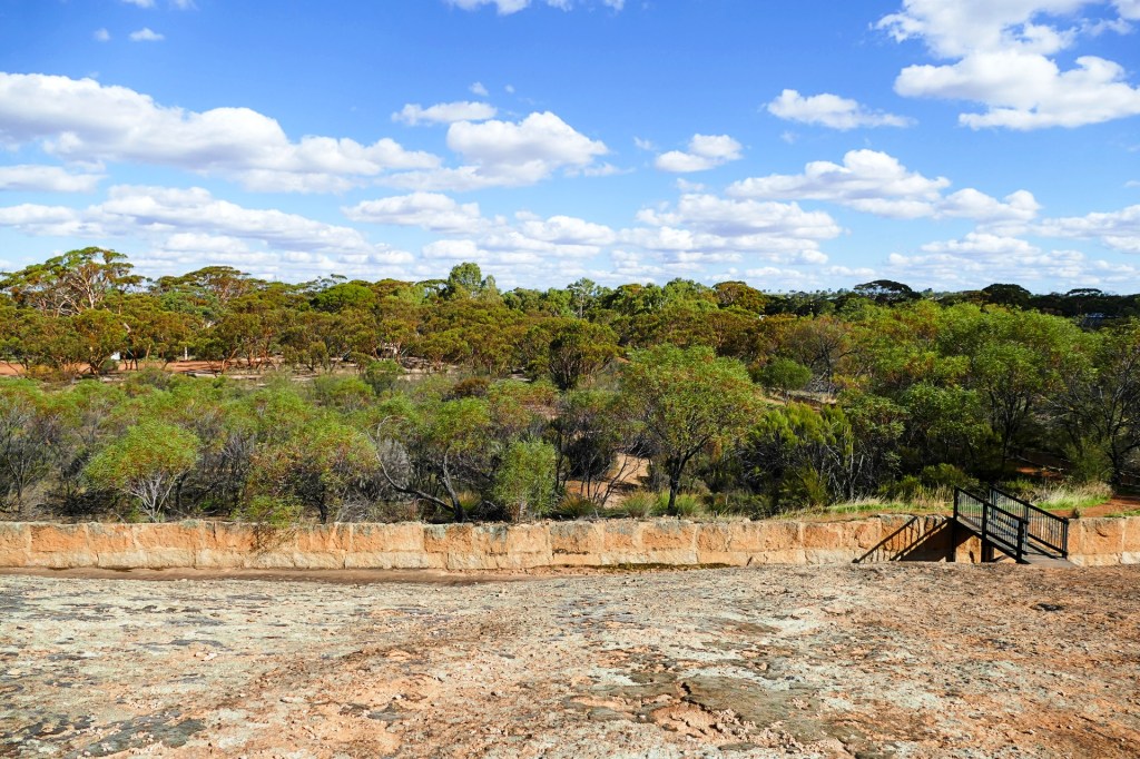
We arrived in Coober Pedy, a very unique Opal Mining town. It is very dusty, lots of shops, mainly Opal shops. There were Opal mines everywhere, outside of town, in the middle of town and surrounding the town.
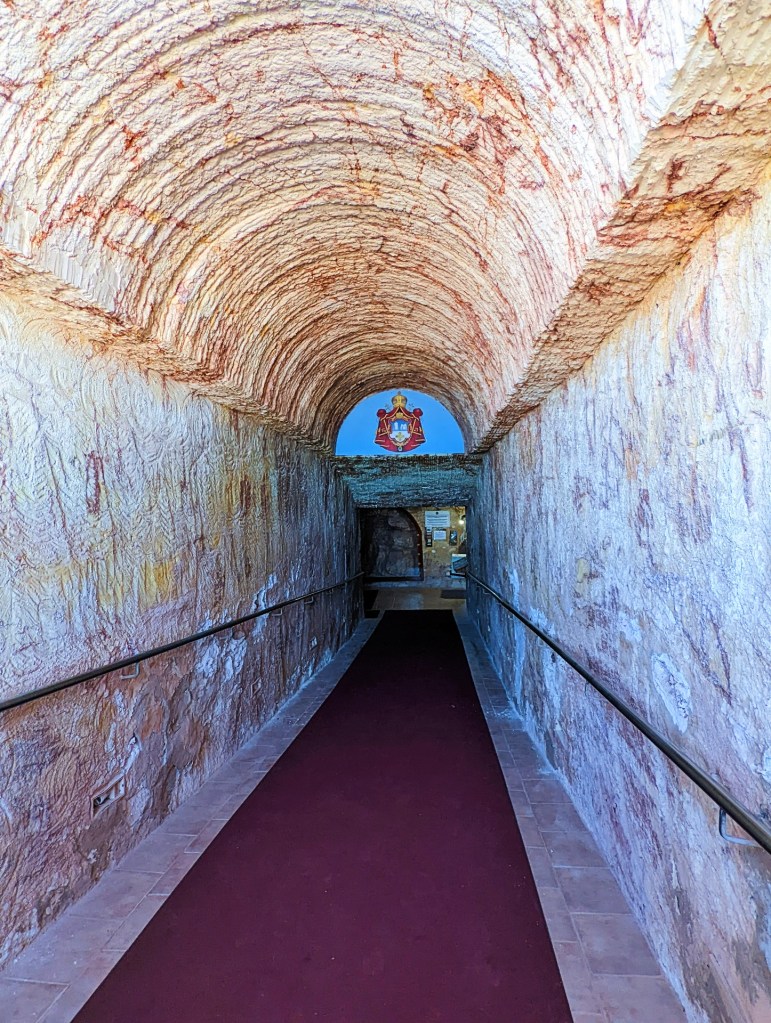
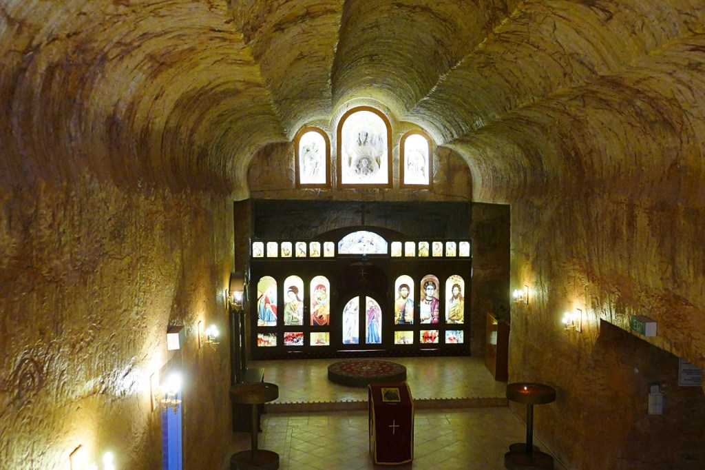
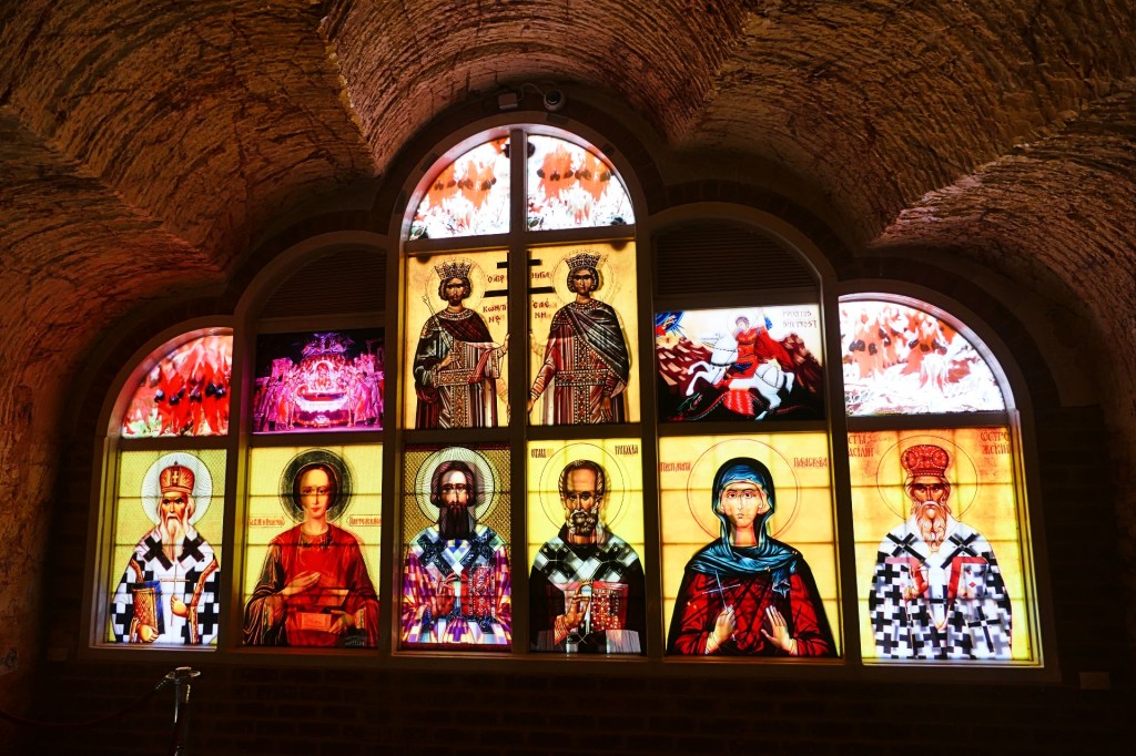
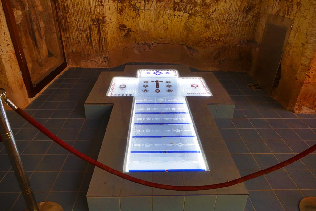
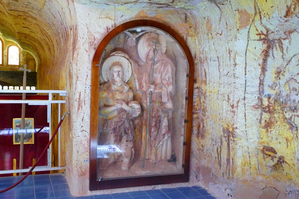
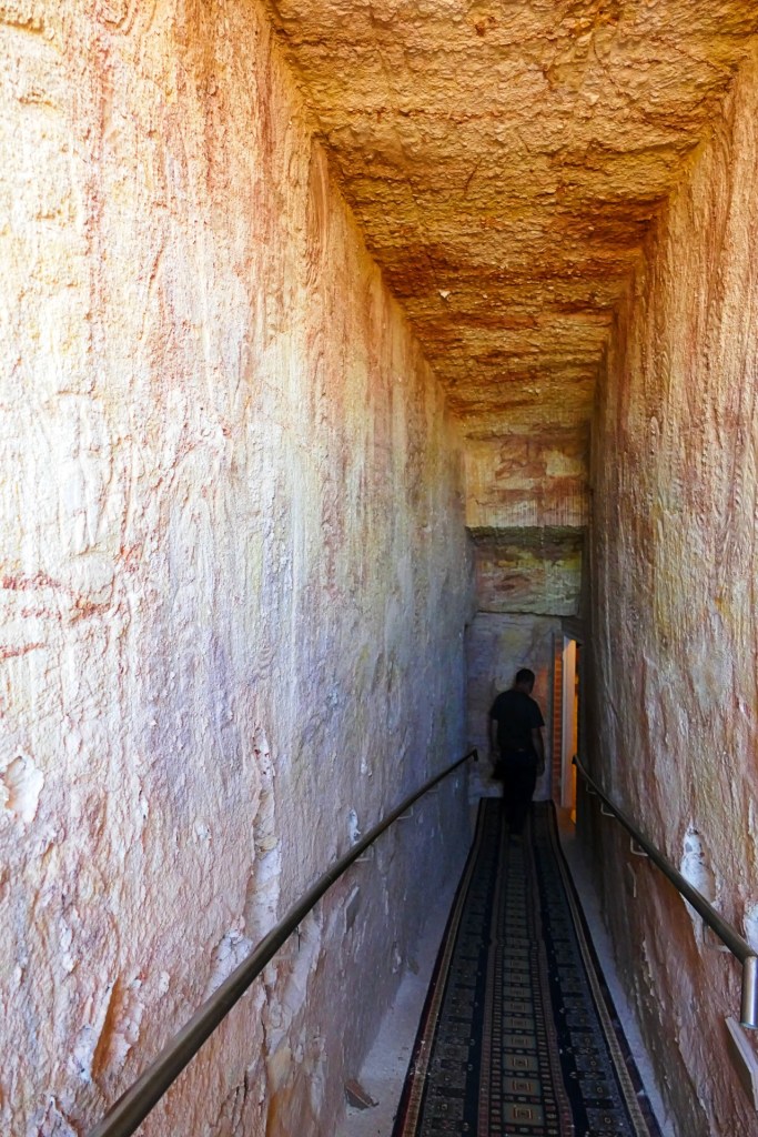
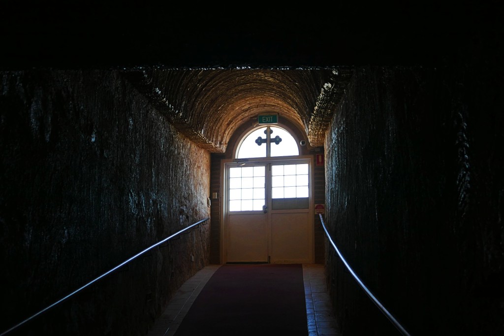
Coober Pedy is known for underground houses. They were built originally to protect from the heat, now there are still people living in underground houses, obviously some underground tourist buildings. We visited an underground Serbian Orthodox Church, St Elijah. It was very interesting with beautiful stained glass, however it was right next door to a working Opal Mine.
Dear family and friends,
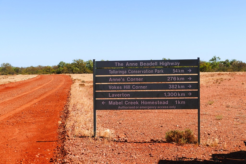
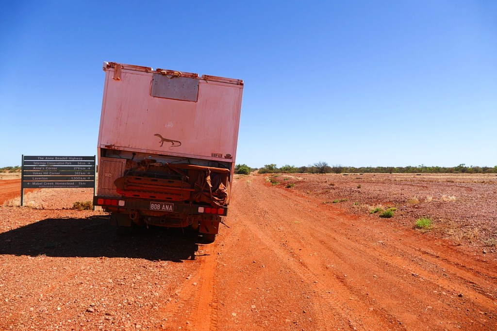
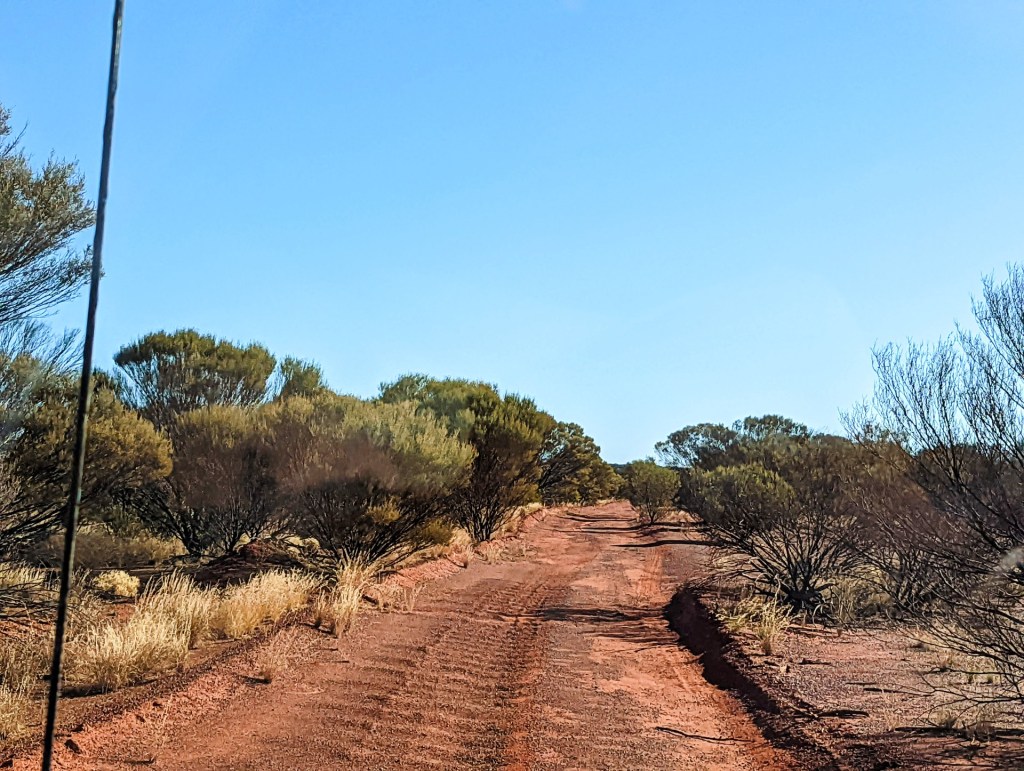
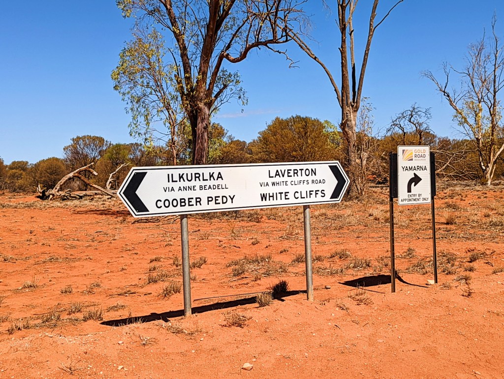
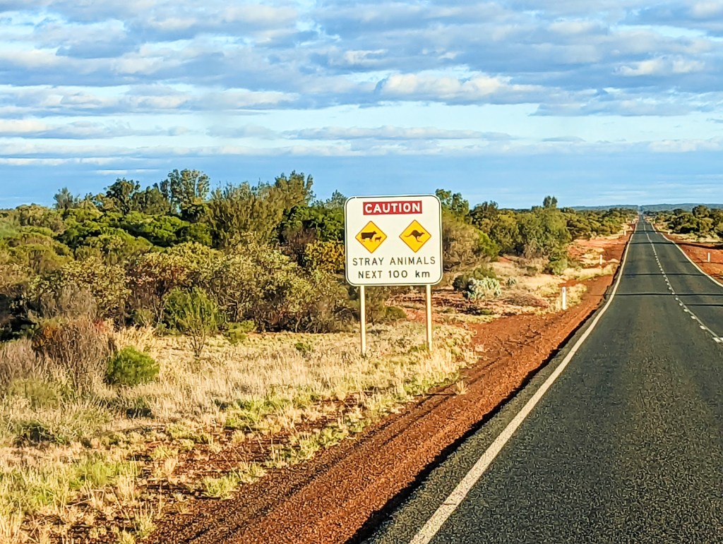
We are heading down the Anne Beadell Highway today, which is an outback unsealed track linking Coober Pedy, South Australia, and Laverton, Western Australia, a total distance of 1,325 km. The track was surveyed and built by Len Beadell, an Australian surveyor, who named it after his wife. It is carved through some of the most isolated and harsh areas in Australia. It is very remote and we will not have any reception for approximately 5 to 7 days.
Take care of yourselves and see you on the other side.
Ana and Bob
Day 60, Wednesday 6th April, 2022
We left Coober Pedy and started our journey down the Anne Beadell Hwy.
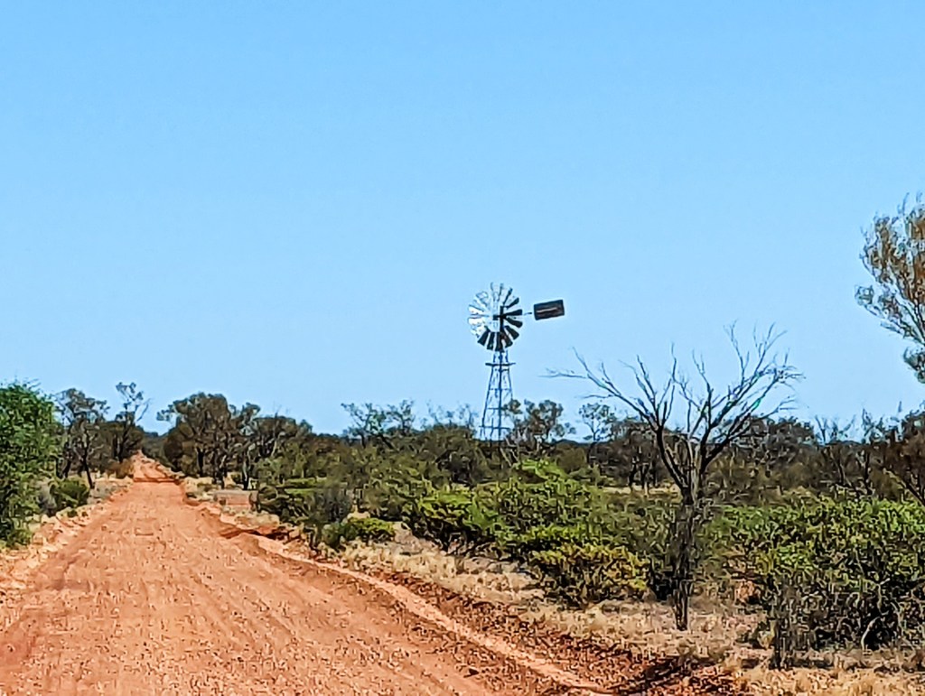
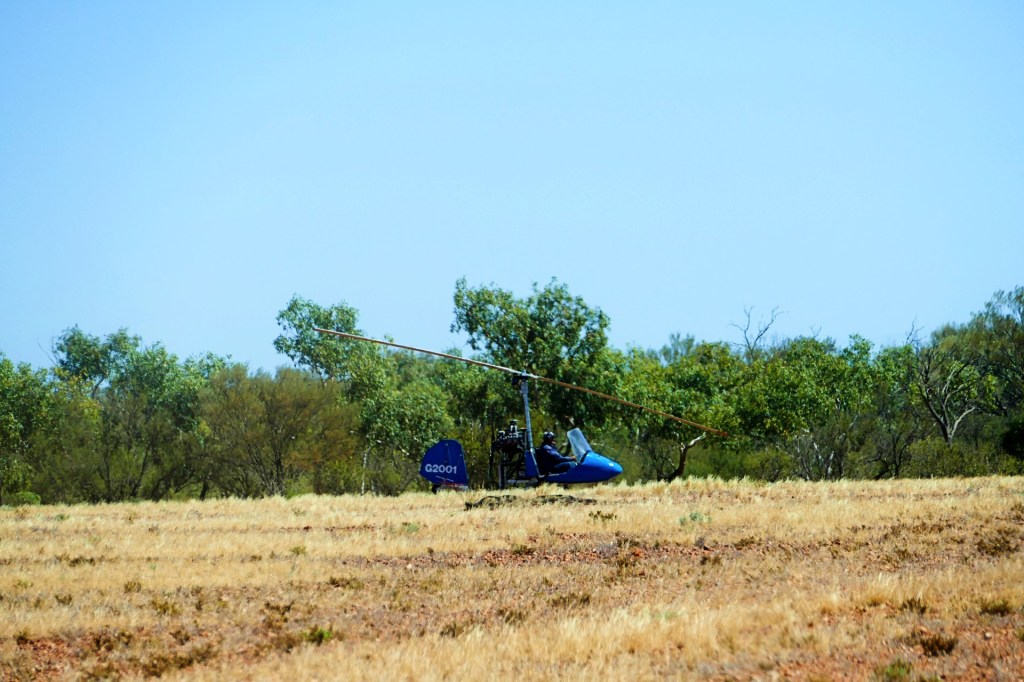
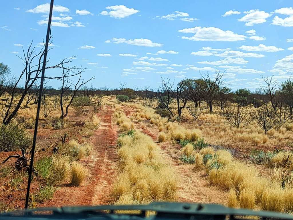
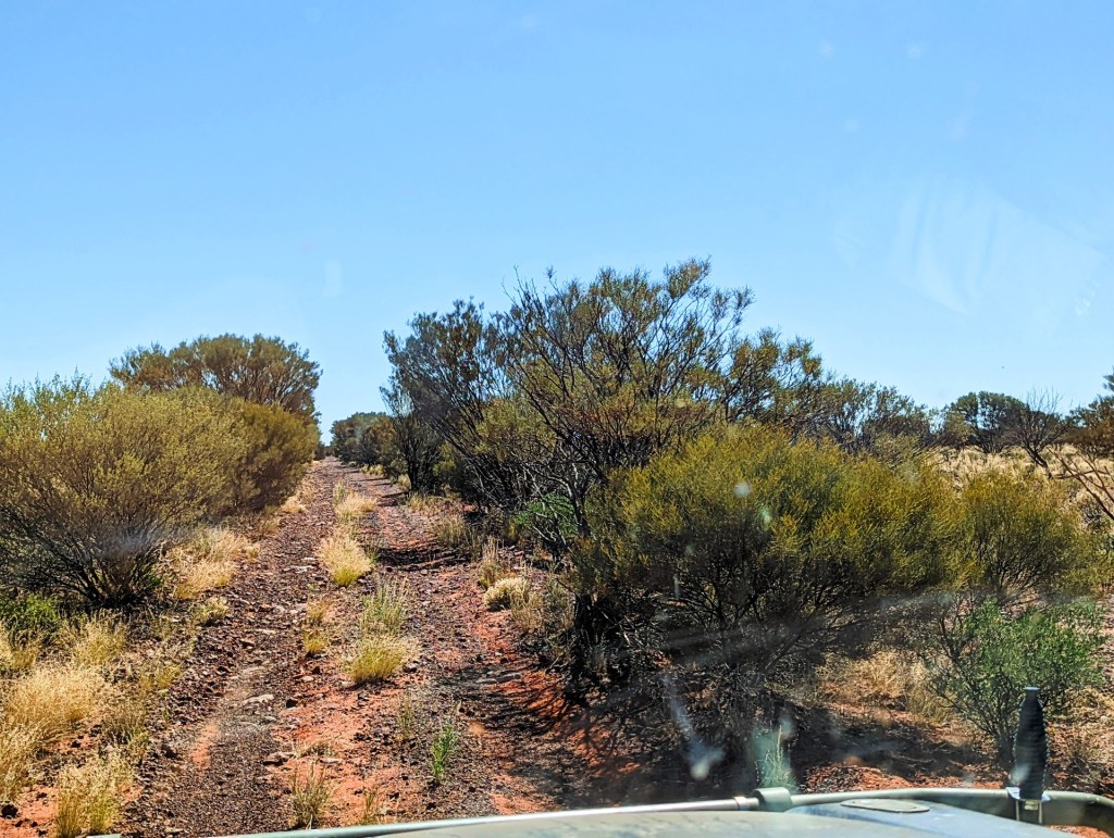
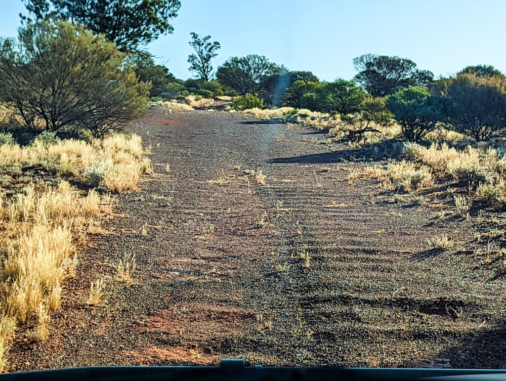
This part of the blog is all about the highway, this is an iconic road that is not well travelled due to the isolation and harshness. The first 40km had been recently graded, therefore not too bad, a few corrugations but fairly easy. The first few kilometres is through opal leases then farmland before it becomes Aboriginal land. We came across a farmer who had just bought himself a little mini copter. He was driving it to an open area so that he could test it out. It looked like something out of mad max, watching this little copter driving along the road.
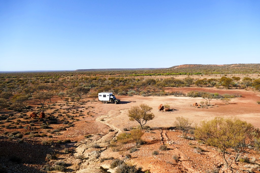
The road up to the dingo fence was quite good, however it changed on the other side, and we had constant changes, rocky, lots of undergrowth, sandy and worst of all corrugations. The corrugations were very deep, the vibrations were very strong, that is why Bob let the tyres down, to cope with this sort of terrain.

Day 61, Thursday the 7th April, 2022
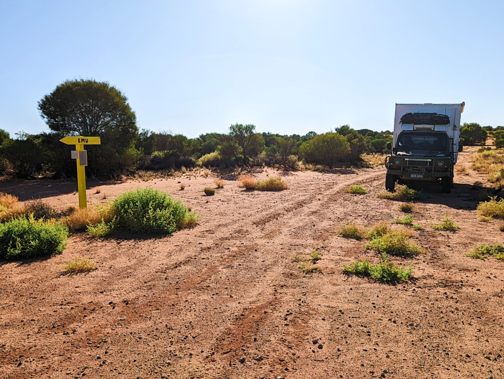
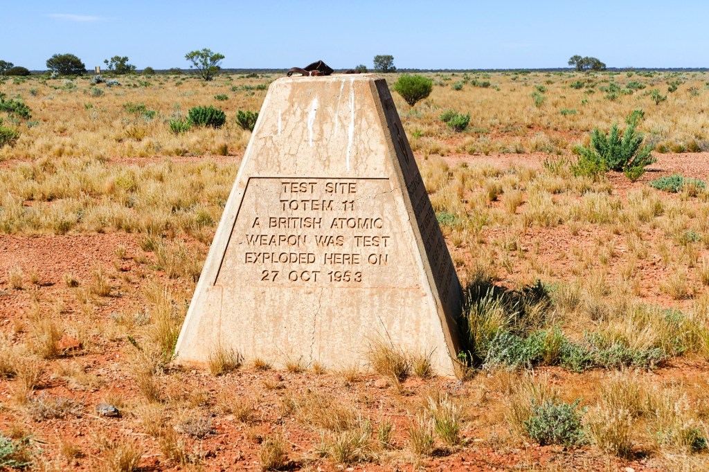
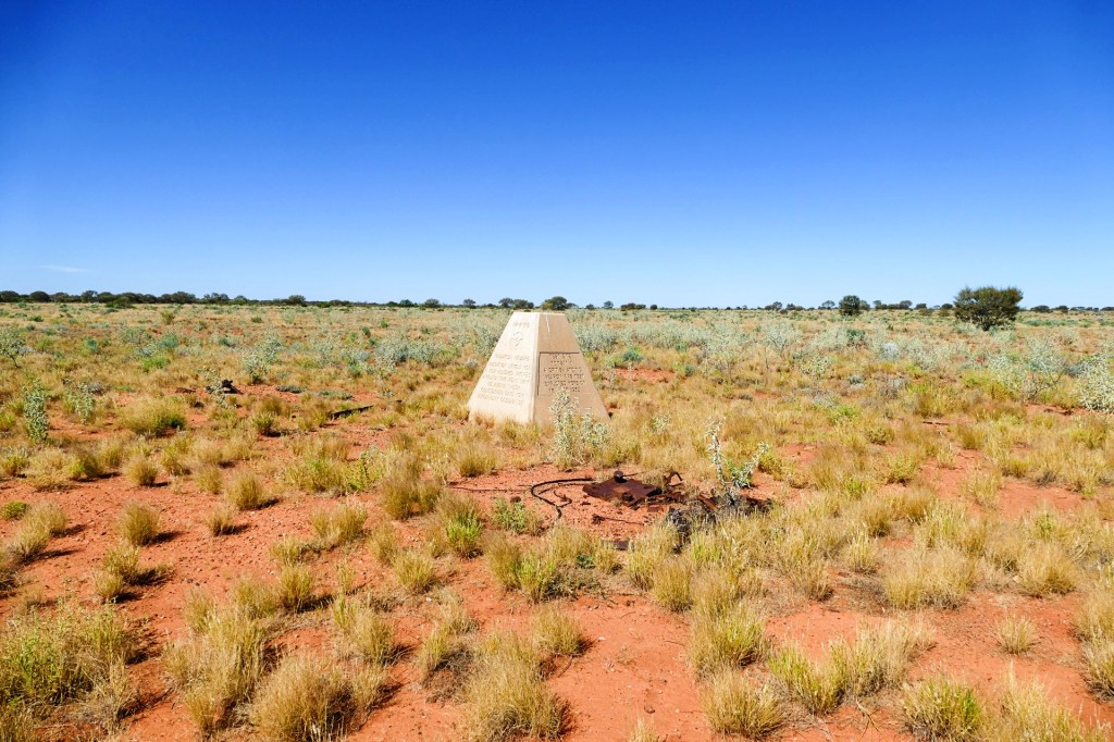
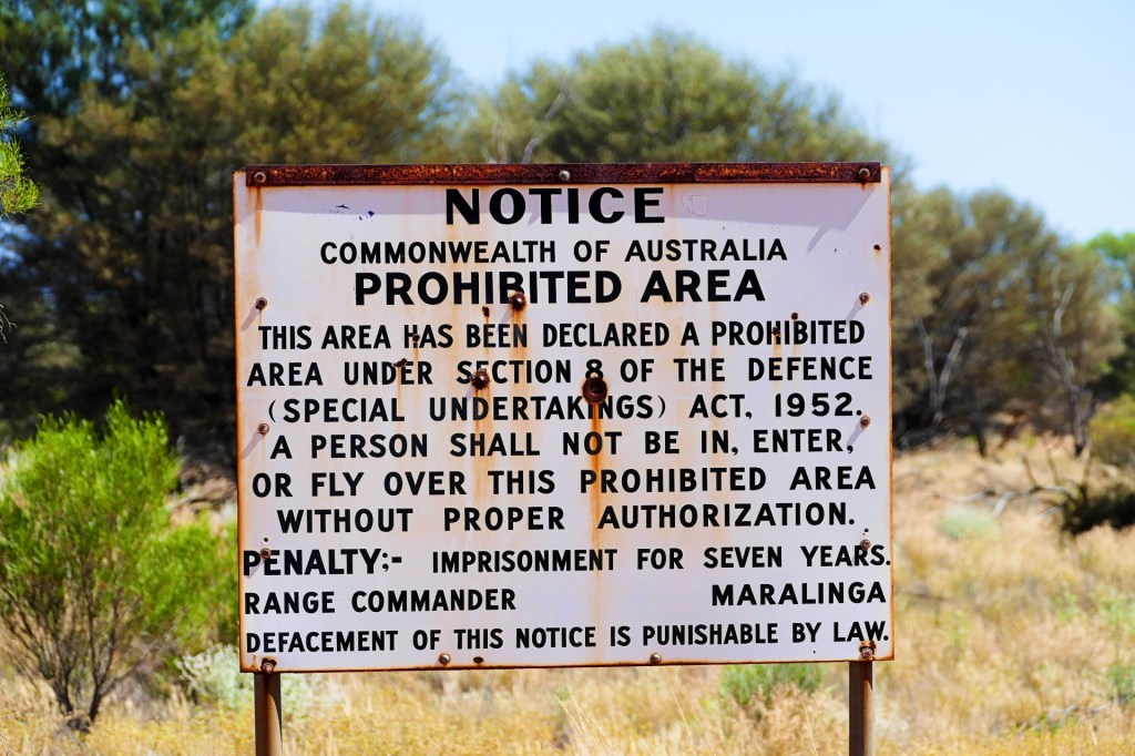
Day 2 on the highway, we woke to another beautiful day, had breakfast and continued our journey. We were aiming to make it to Emu today, there is a lovely little campsite there, and we wanted to explore the site. Emu was one of the sites where atomic bombs were tested by the British government on Australian land in the 1950’s. The other site was at Maralinga, which has now been reclaimed by the Tjarutja Aboriginal community and not accessible. Tours have been run in Maralinga, but they were stopped due to covid for the time being.


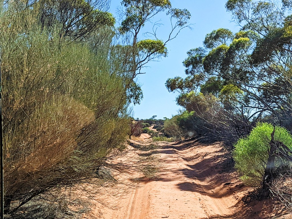
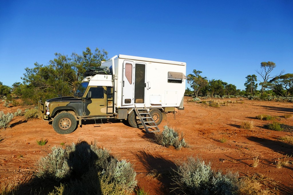
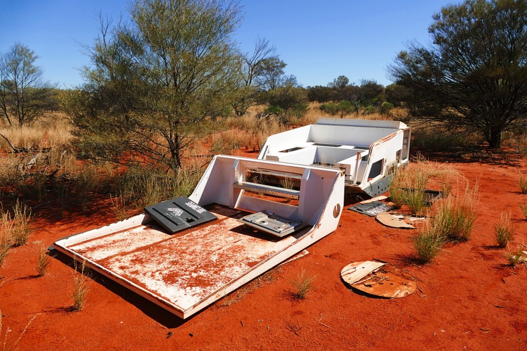
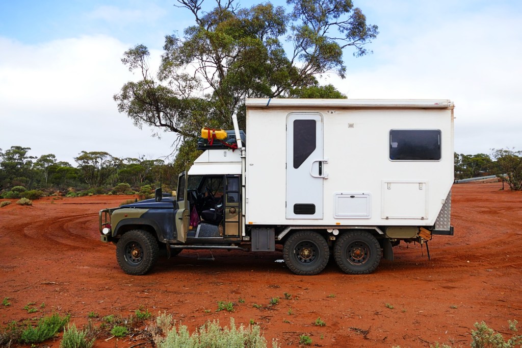
We stopped for lunch along the way, unfortunately we did not close one of our windows properly, and it was ripped off along the way to Emu, we did not discover the problem till we got to Emu, and then had to travel back 25km to retrieve the window. We were able to put it back so that it locked, but the struts to hold it open were broken. The struts could be replaced, but we double and triple checked all windows and hatches after that. This meant of course that we had waisted 50km worth of fuel, and when you are in a situation where the nearest fuel was 500km away, this could be an issue. The worst parts of the road for us were the ones that were overgrown with shrubs and trees. They would get caught in any part of the truck that had a crevasse, like the awning and the roof rack. We had to be very careful with the awning, branches would get wedged between the truck and the awning and without care, would rip it off. I was on awning watch duty every time we went through one of these parts of the road. We did manage to not rip it off.
Day 62, Friday 8th April, 2022
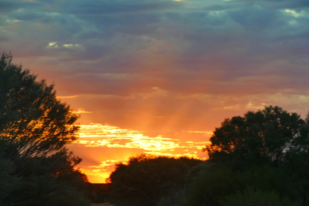
Yet another beautiful morning, another hot day on the way.
We travelled through the Maralinga Woomera prohibited area today, we needed a permit to enter, which we organised months before. Woomera has exclusion periods where Australian Defence test their missiles and rockets, this year it opened for visitors/travellers from the 1st of April.
We also travelled to Anne’s Corner on the highway. This is a posted point of interest.
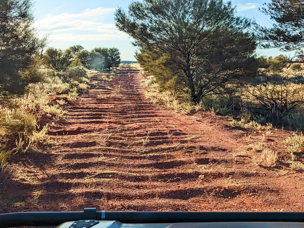
Travel was relatively slow for us, we varied from 5km per hour to 20km per hour as we navigated the road, slowing down for overgrowth, corrugations, holes and rocks. Nothing that was not expected. The maximum speed that was possible for short periods was about 25km per hour.
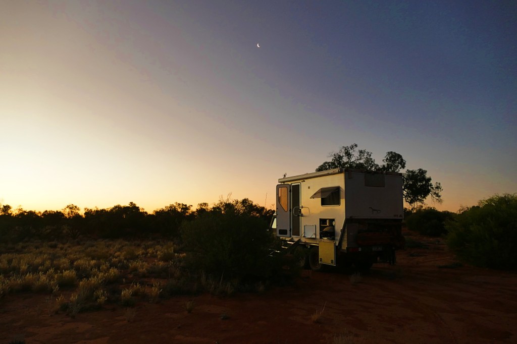
We camped on the side of the road when it started to get dark, we did not really have to worry about other vehicles coming past. We had seen tyre marks ahead of us till we reached Emu, then there were no more tyre marks now. We speculated that the tyre marks prior to emu might be rangers or Maralinga residents travelling to and from Coober Pedy, but we were the first to travel past Emu on the highway.
Day 63, Saturday the 9th April, 2022
Another beautiful day, temperature still around the 30 degrees.
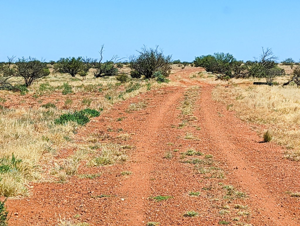
The highway became a lot rougher on this leg of the journey.
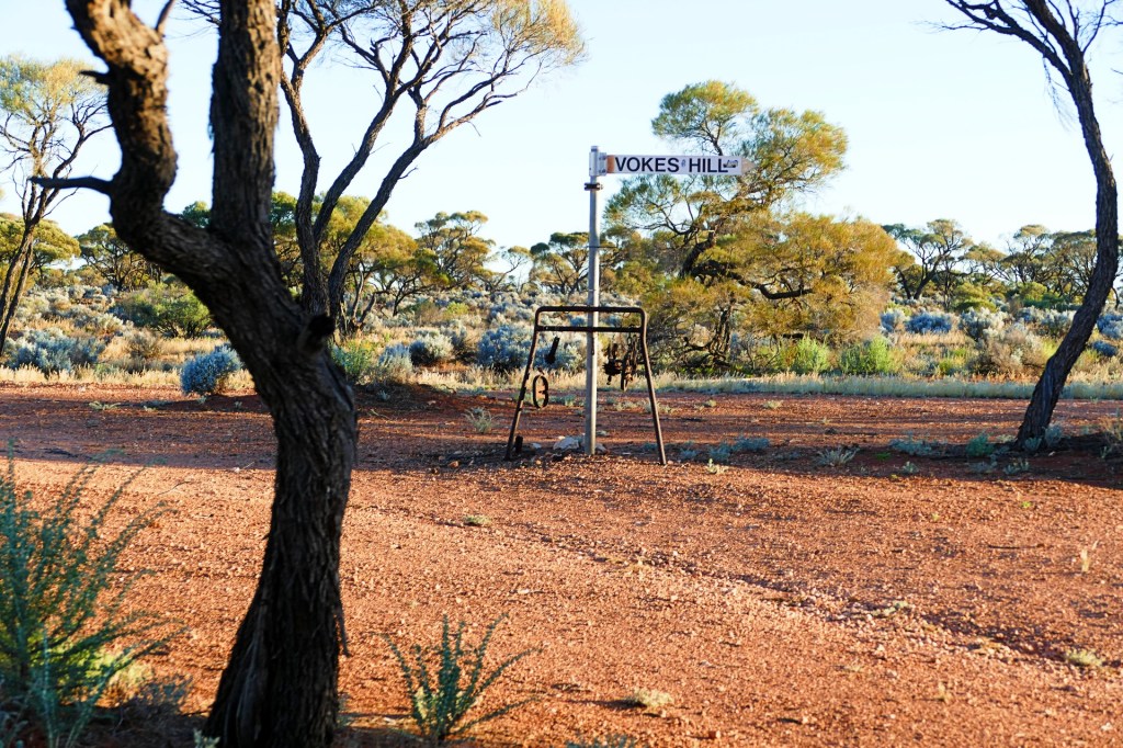
We reached Vokes Hill Corner. We had originally planned to take the road down from Vokes Hill Corner to the Nullarbor, but had not been granted permission by the Aboriginal Lands Council due to a covid outbreak in that area, so we decided to do the whole Anne Beadell Highway into WA instead.
Day 64, Sunday 10th April, 2022
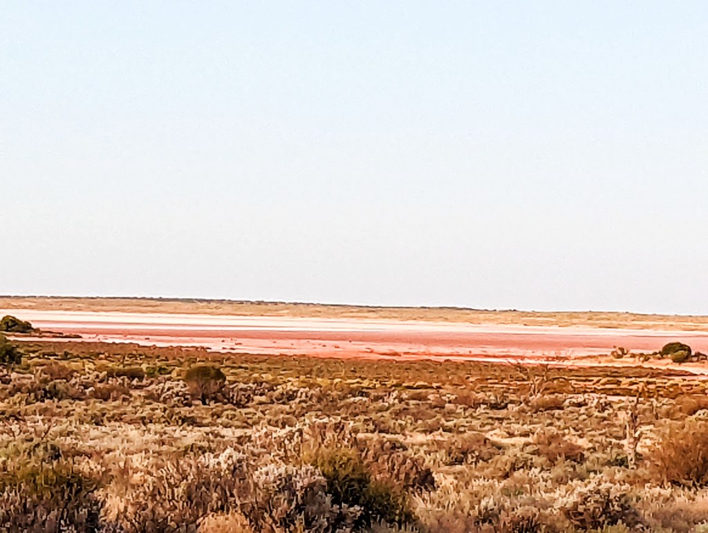
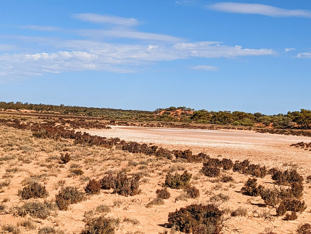
An exciting day today, we drive across one of the dry Serpentine Lakes and cross the border into Western Australia.
We were told that the Anne Beadell Hwy in WA is a much better road. At first we did not see it, but yes, the road did get much better in that it was much wider and with less overgrowth, but there were still corrugations. We also passed two vehicles towing campers going to Coober Pedy, so we had tyre tracks in front of us again.
Day 65, Monday the 11th April, 2022
The day started off as normal, beautiful morning, warm day, we expected to visit the Ilkurlka Roadhouse today and be able to drive a considerable amount of the km’s of the way to Laverton.
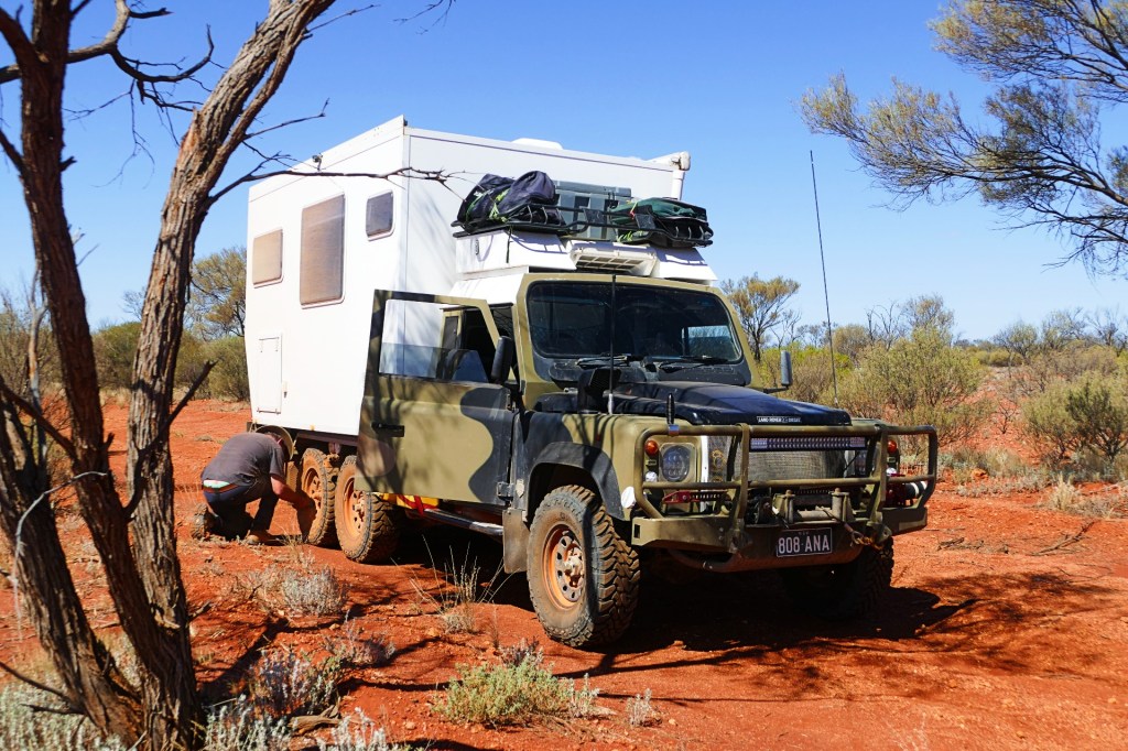
Unfortunately the day did not end as well as it started. We got a slow leak in another tyre, so lucky we had 2 spares. Bob changed the tyre and we started moving again, after a little while we started hearing noises in the front end of the car. Bob thought it might be the bearings in the front right wheel, so he replaced those, as they were a little tight.
We kept hearing noises and the issue was finally diagnosed, the front diff had died. Bob pulled that out and discovered that the whoever had serviced the diff before he got the truck had not used lock tight on the bolts, so they had undone themselves and dropped into the housing, causing the diff to fail. Bob then had to take the axles out to disengage the wheels so we could continue in 4 wheel drive instead of 6 wheel drive. The roads were pretty good at this stage, 6 wheel drive was not really necessary to get us back to civilisation.
All this took a considerable amount of time and we were very tired, so we only managed to travel a short distance and did not make it to the Ilkurlka Roadhouse that day.
Day 66, Tuesday 12th April, 2022
Another beautiful day, high expectations.
We were very excited to get to the Ilkurlka Roadhouse.
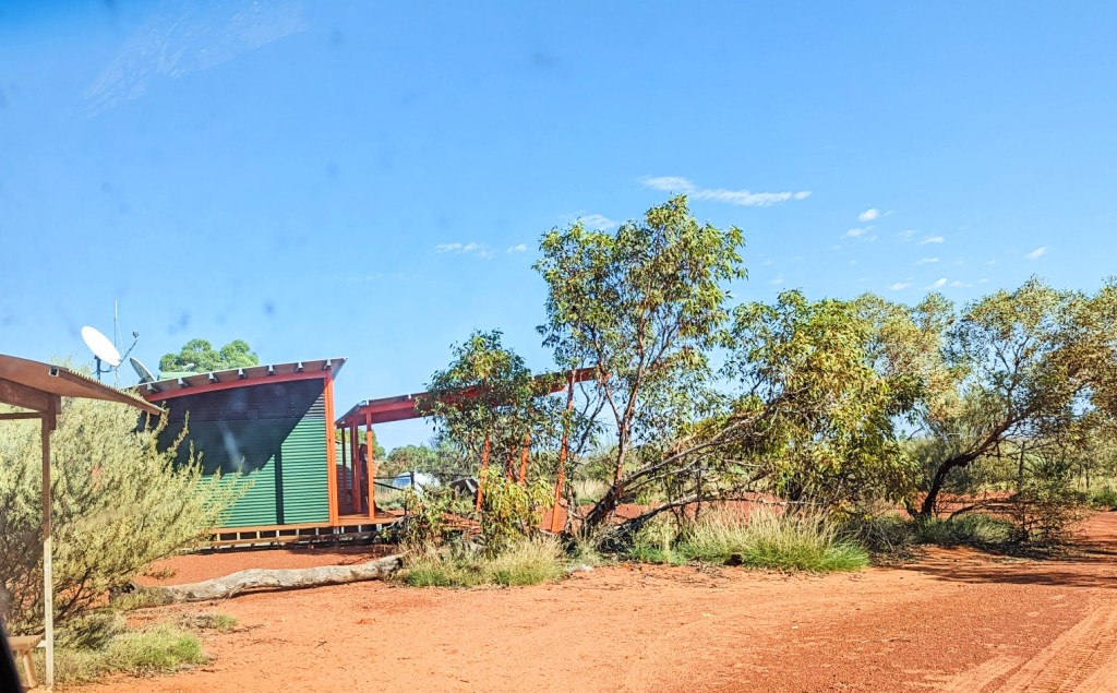
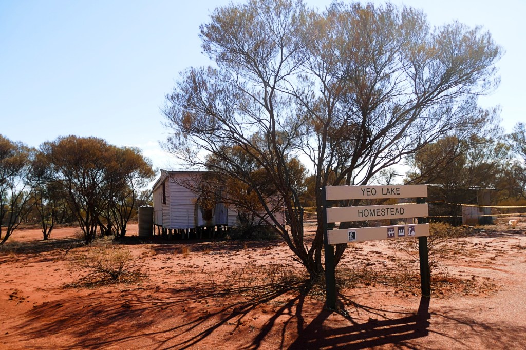
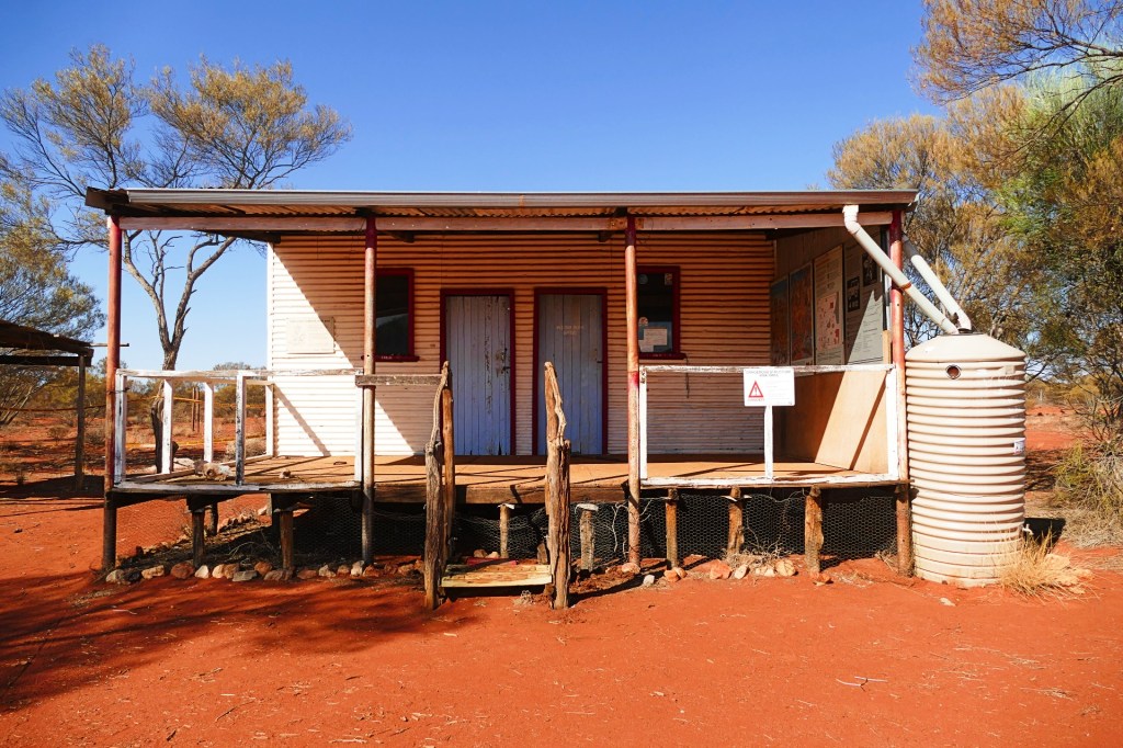
The Ilkurlka Roadhouse is the only place to get fuel on the Anne Beadell Highway, they also offer a campsite for the night and hot showers for $5. They have a little shop that sells staples like tinned veg, spam, some camp items and they sell artwork from local artists.
The roadhouse advertised that they had phone reception and internet access, so we were very excited to be able to contact family and let them know we were OK, the trip had taken longer than anticipated. However when we got there they only had Optus reception, and we were with Telstra, so no reception. We used the Satellite phone to contact Gabby so she would let the rest of the family know.
We topped up our fuel, bought a lovely piece of Aboriginal art and continued our journey.

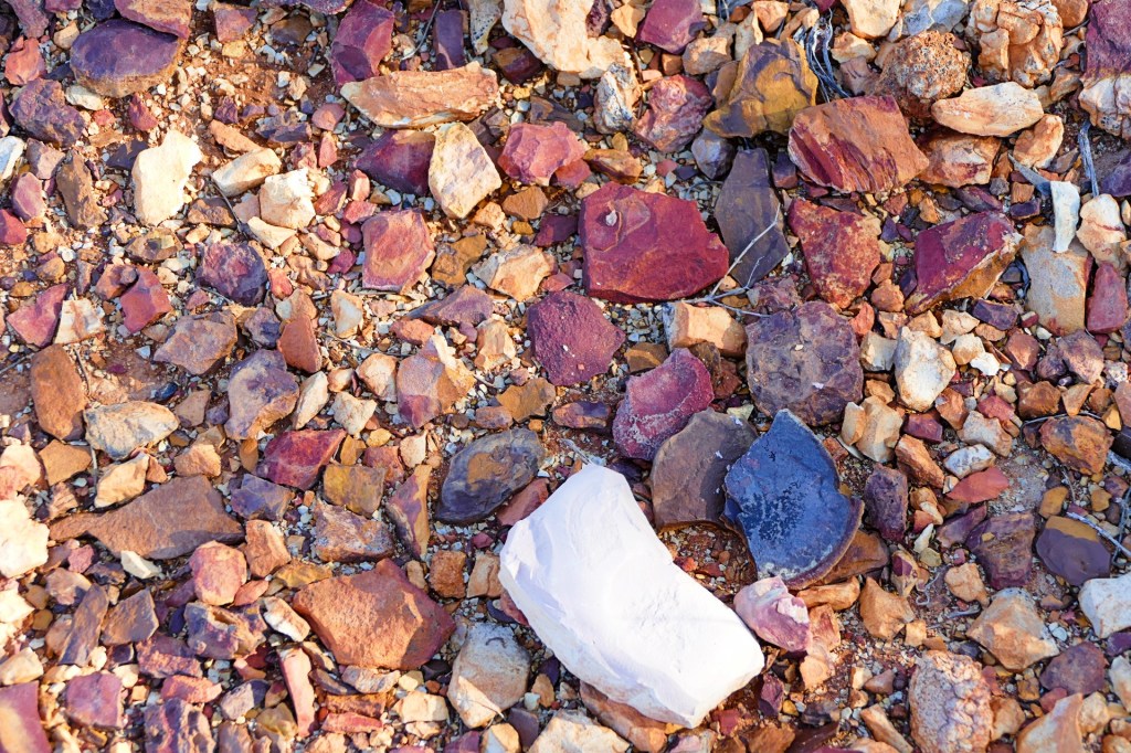
It looked like someone had laid decorative gravel
Day 66, Wednesday 13th April 2022
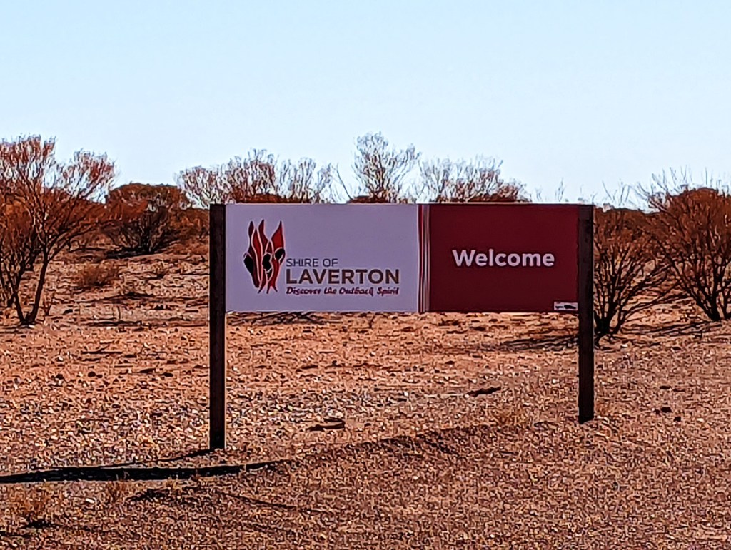
Our final day on the Anne Beadell Highway. We reached Laverton and civilization at last.
It was certainly an experience doing the Anne Beadell. Would we do it again, or something similar? – yes. We learnt a few lessons, so next time we would do it better.
Lessons learnt:
- We need better protection for our awning, we have already devised what we will do for this on our next trip.
- Triple check that we have closed and locked everything after each stop, don’t become complacent.
- Don’t put heavy items in the fridge door, or it will open when going over rough patches even with our fridge lock.
- We need a screen over the air inlet for the air conditioner on top of the cab, otherwise, sticks get jammed inside and this blows the fuse – so no air conditioning in the cab – good thing we have windows and breezes.
Things we did well:
- Had Bob with me 🙂
- Planned properly and had a robust, fit for purpose camper and equipment- thanks to Bob
- Had enough spare parts and tyres, as well as the right tooling. Having said this, it is a fine line, what to bring and what not to bring – you can’t carry a spare or tooling for everything.
- Had enough fuel, we have tanks for 240 Litres of fuel and we also carried a jerry can with 20l of extra fuel for emergencies – this however got staked half way through, so we had to empty it into the tank. We only needed another 40 litres from the roadhouse to get us to Laverton, and cheaper fuel. We bought so little fuel that the attendant had to double check the amount, normally travellers get a lot more fuel.
- Had enough water, we carry 280 litres of water, so we could have a shower each per day, sufficient to cook and drink. We were very frugal with our water regardless
- Had enough food for the trip, but not too much.
- Carried an Epirb and satellite phone in case of emergencies – luckily we did not have one.
- Had a grab pack with water, Epirb, satellite phone and first aid items in case of an emergency.
What went wrong:
- We lost and found our window, need to replace the struts.
- We irreparably damaged our brand new tyre.
- Got a slow leak in another tyre, this can be fixed.
- Bent the brackets that hold the awning onto the truck – Bob can panel beat these back into shape.
- Lost our awning light, will have to replace that
- Broke the radio antenna – will have to replace that
- The front Diff failed, this will need to be fixed, this is not something that we could have avoided.
- Cracked one of the solar panels, this will have to be replaced
- Staked the jerry can which carried extra fuel, emptied that into the fuel tank. Luckily the stake stayed in the jerry can, and we saw it straight away, so not much fuel was lost.

We finally reached Laverton.
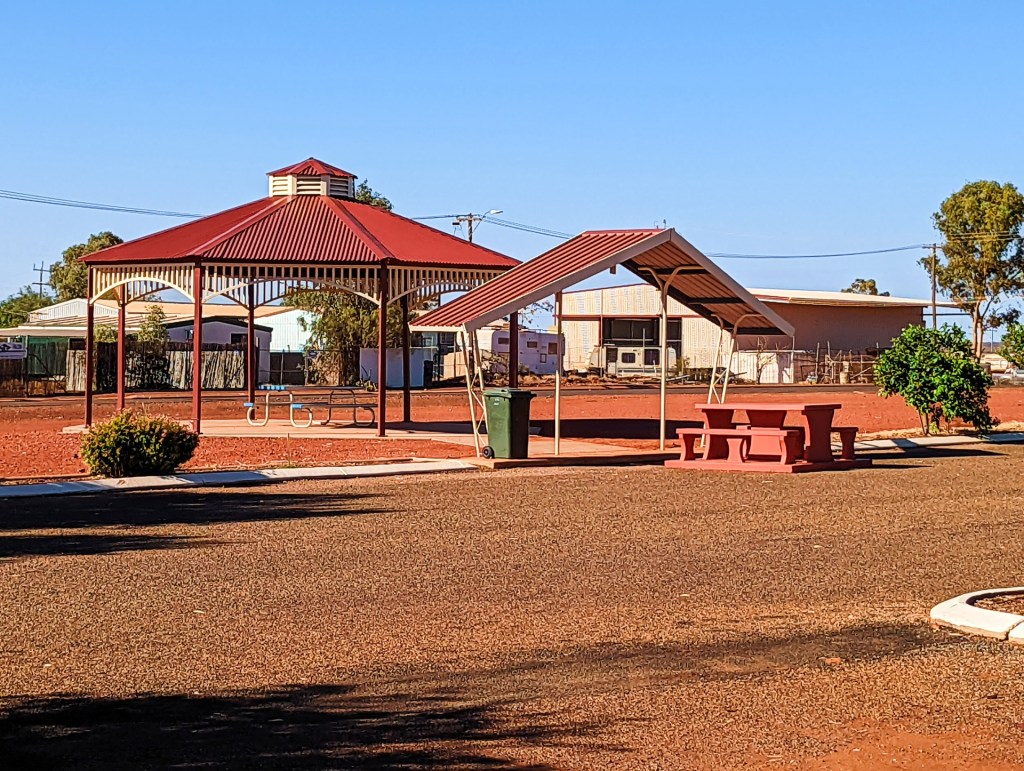
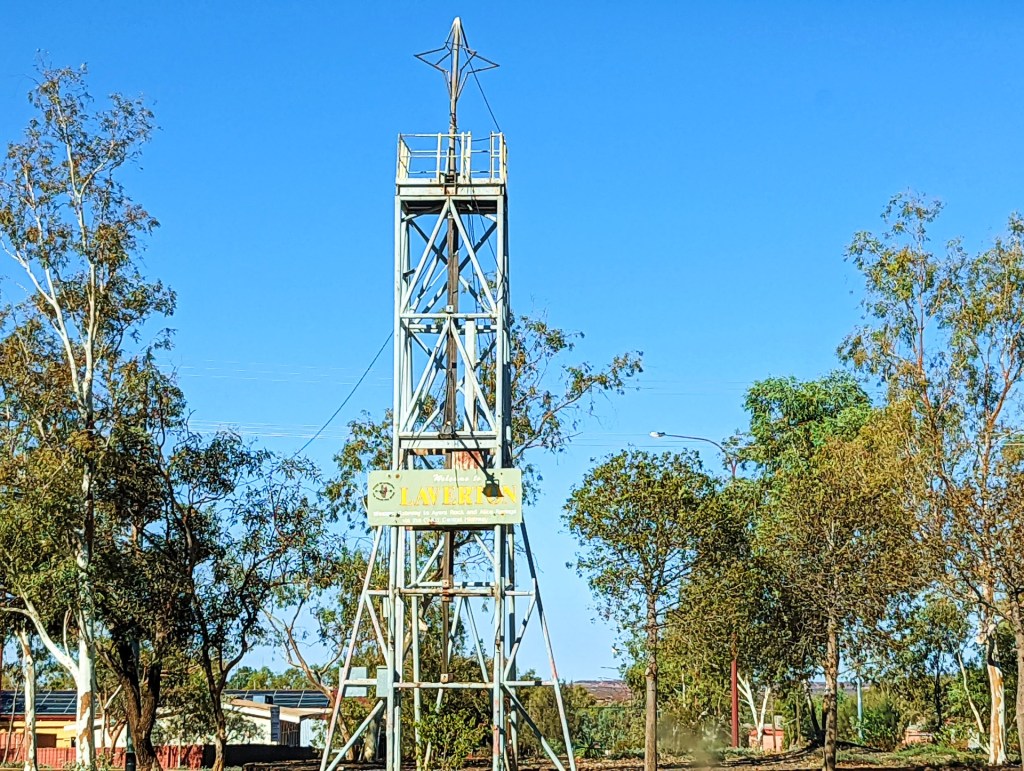
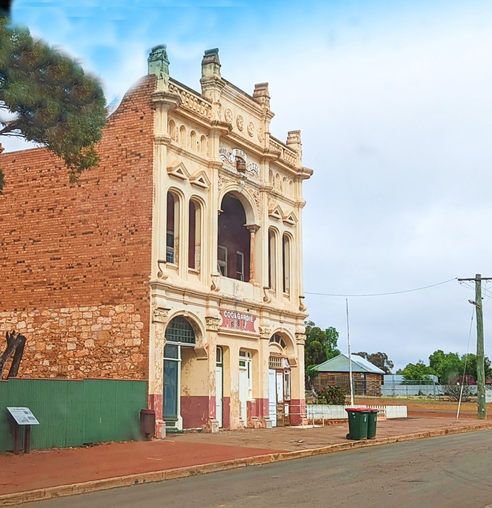
Laverton, originally known as British Flag, is a small mining town in the Goldfields-Esperance region of Western Australia.
Laverton has over 100 years of gold rush history, is the starting point of the Outback Way which links Kalgoorlie and the Northern Goldfields with Alice Springs and Winton in Queensland. Also an integral part of the great Australian gold rush. It is very small and full of fly in fly out workers. It has one pub and one convenience store.
Day 67, Thursday the 14th April, 2022
We left Laverton today, we had originally planned to go down to Esperance and slowly meander up the coast to Perth, but due to the damage to the diff, we decided to travel directly to Perth so we could get repairs done.
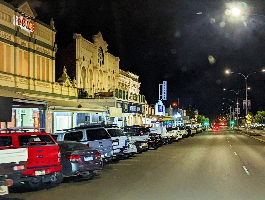
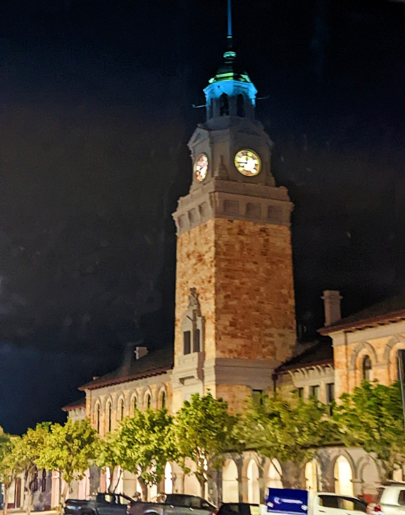
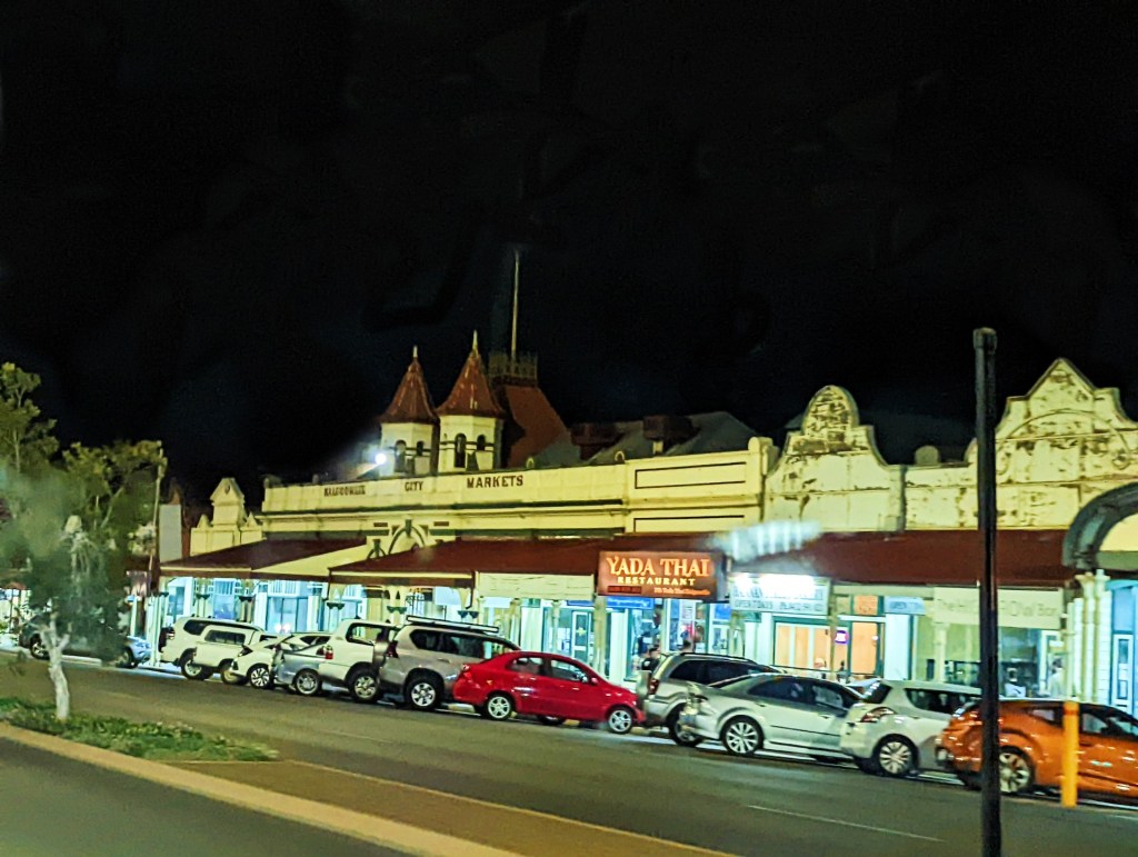
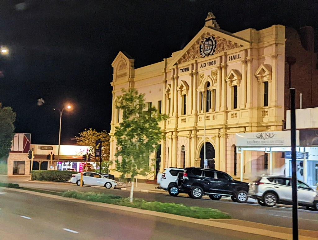
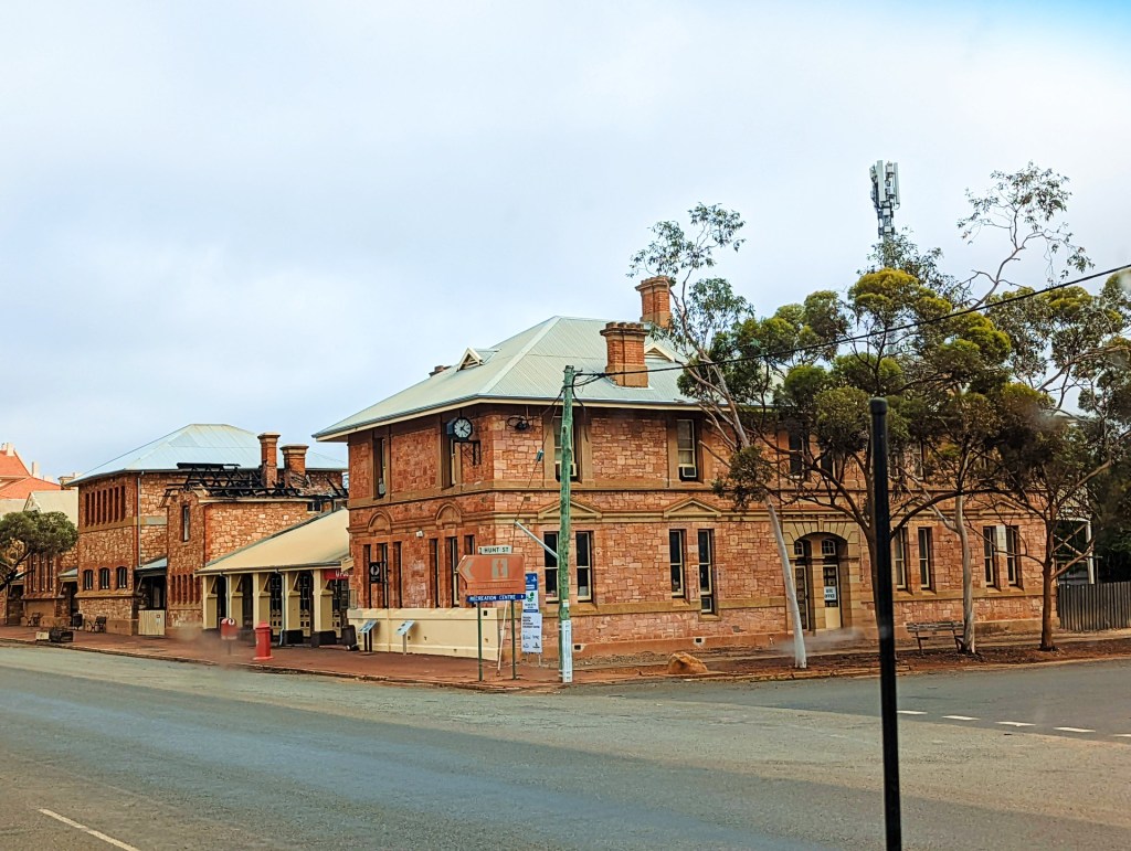
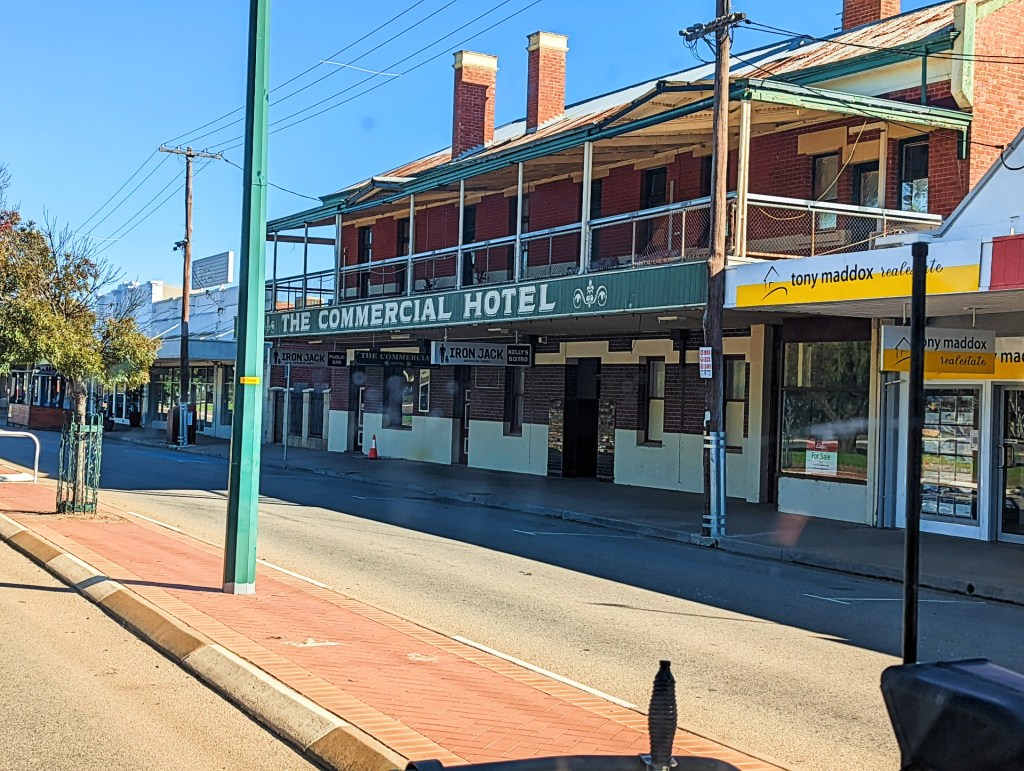
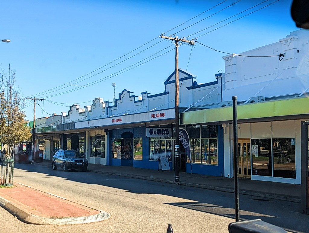
We made it to Kalgoorlie, travelling through several towns along the way.
Day 68, Friday the 15th April, 2022
Today is Good Friday and the start of the Easter weekend, therefore Happy Easter everyone.
We drove from Kalgoorlie to Meriden. Along the way we drove through a few different towns

Day 69 to Day 83, Saturday the 16th April to Saturday 30th April , 2022
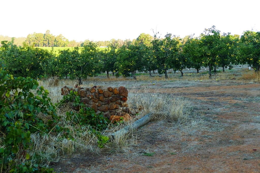
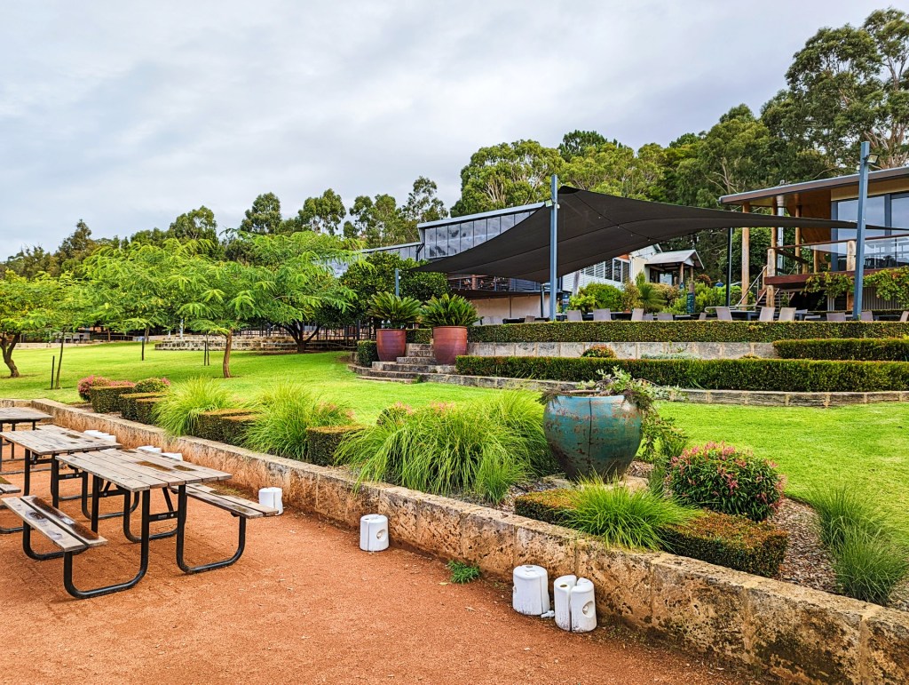
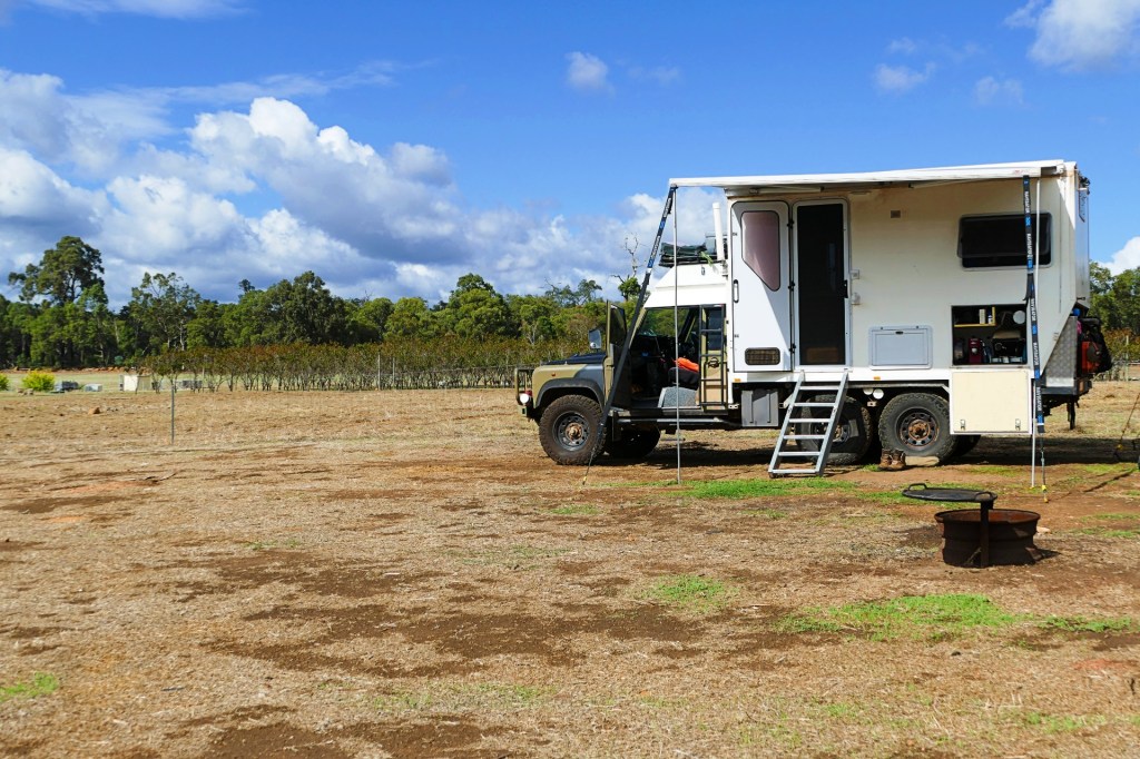
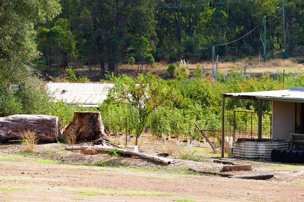
Saturday we drove to Carmel, a town on the outskirts of Perth, about 25 minutes out. We found a farm stay campsite at a little place called Carmel Cider. They are a small boutique Cidery. We tried the cider and their standard cider is really good. They also do a champagne cider which was OK, but we liked the standard cider better, they produced 4 varieties of the standard cider, we liked them all, our favourite was the Heritage.
The camp area is great. The only issue being that the ground is not very level, but workable. we are right near the orchard with 2 flushing toilets nearby and access to drinking water for $20 per night. This is great so close to Perth. We will be staying here for as long as we need to, so we can do what we need to do on the truck. We will also be catching up with our friends Suzanne and Dave in early May. We will be adding to this as we go. Our other friends Deb and Greg are out of town at the moment so we will have to catch up with them later.
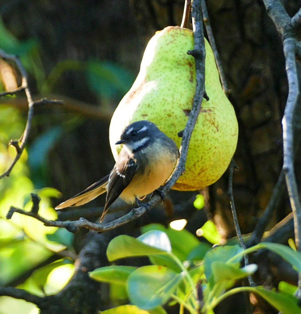
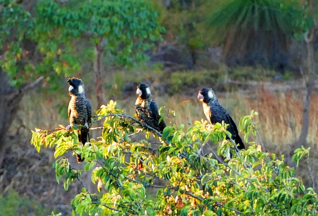
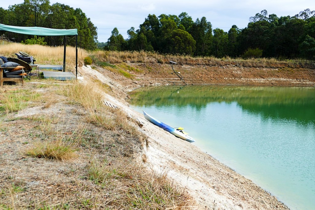
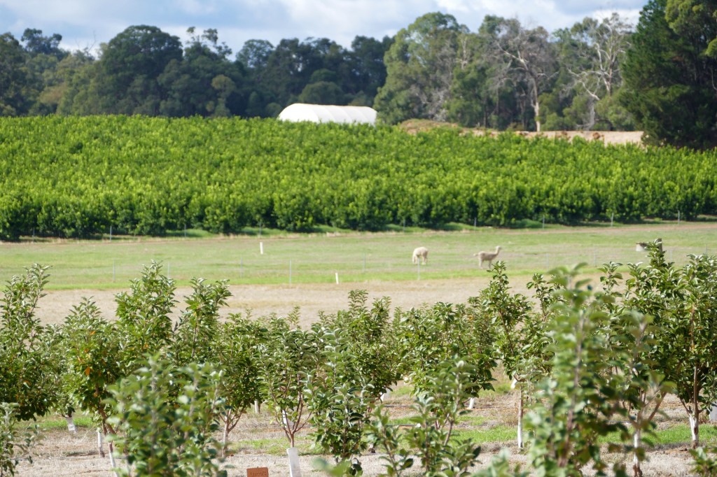
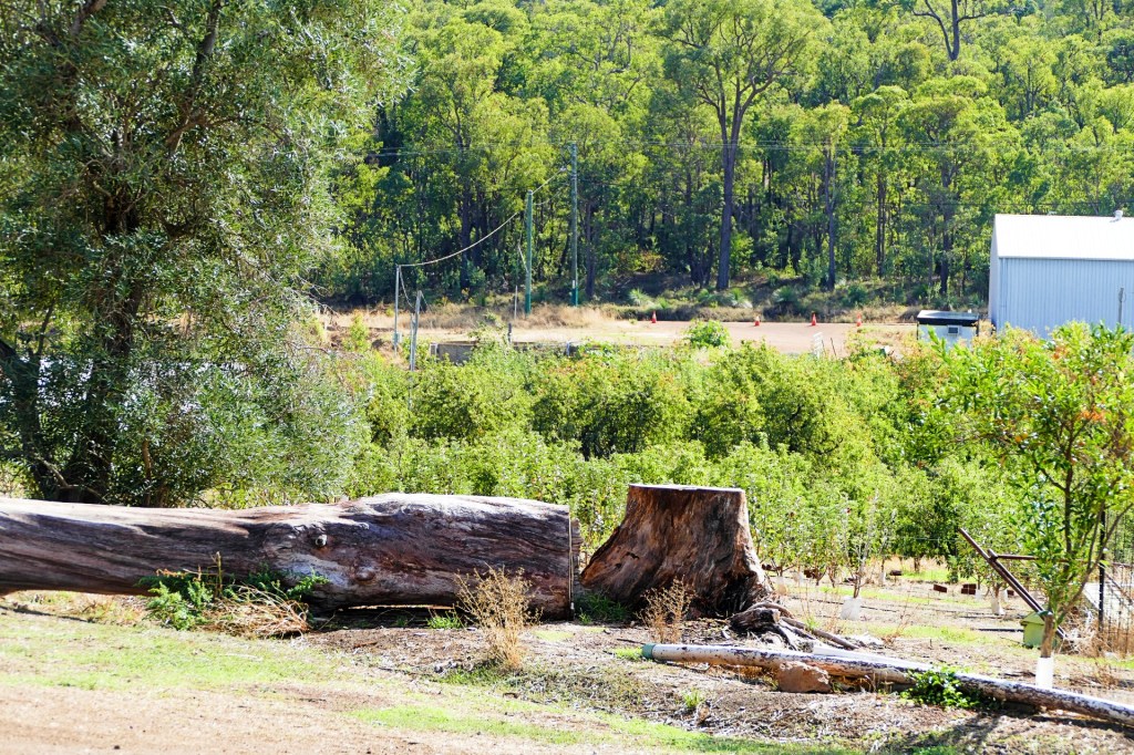
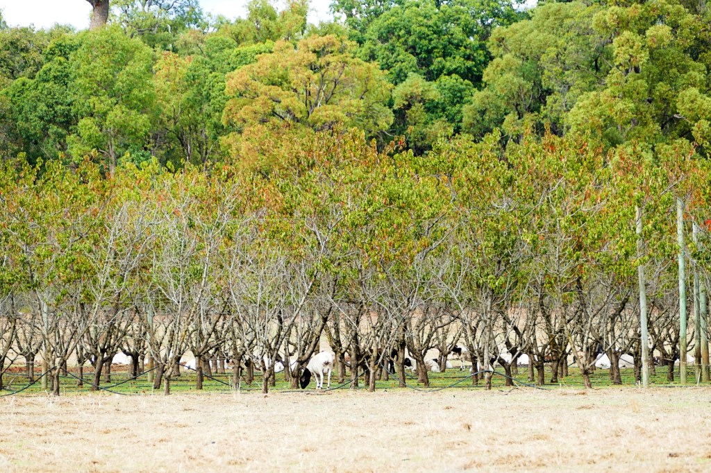
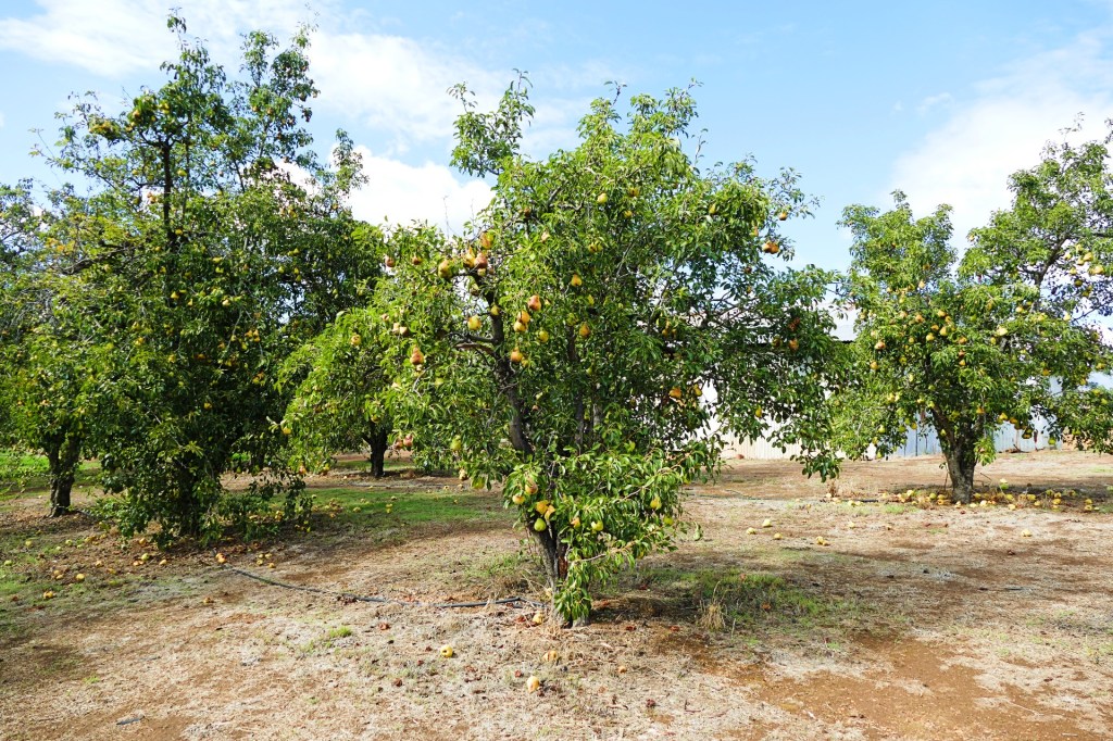
Lots to see here, apple, pear and avocado trees, a dam that the kids swim in, lots of bird life, sheep and alpaca’s – very relaxing. The camp host Steve and the owners are lovely people, happy to assist in any way. One of the owners has a mechanic’s shop on site where he still does mechanical work 2 days a week as well as run the cidery with his brothers. When he saw Bob doing work on the truck, he offered use of his shop to Bob so he could work with proper equipment and a concrete floor.

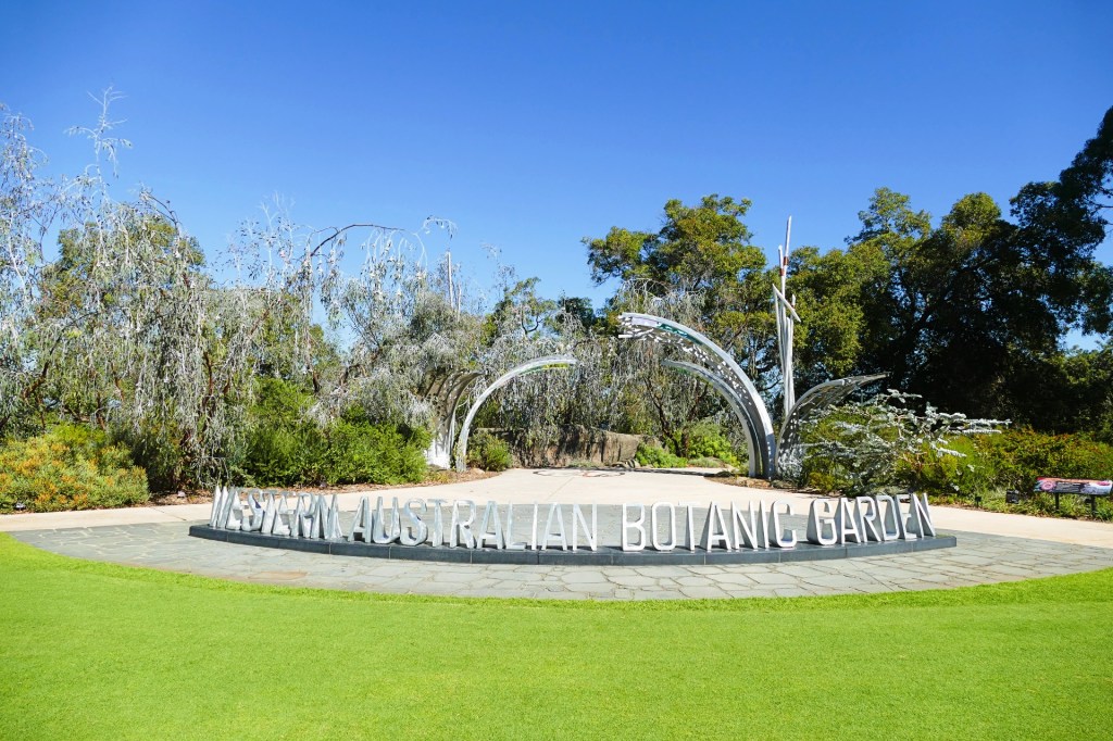
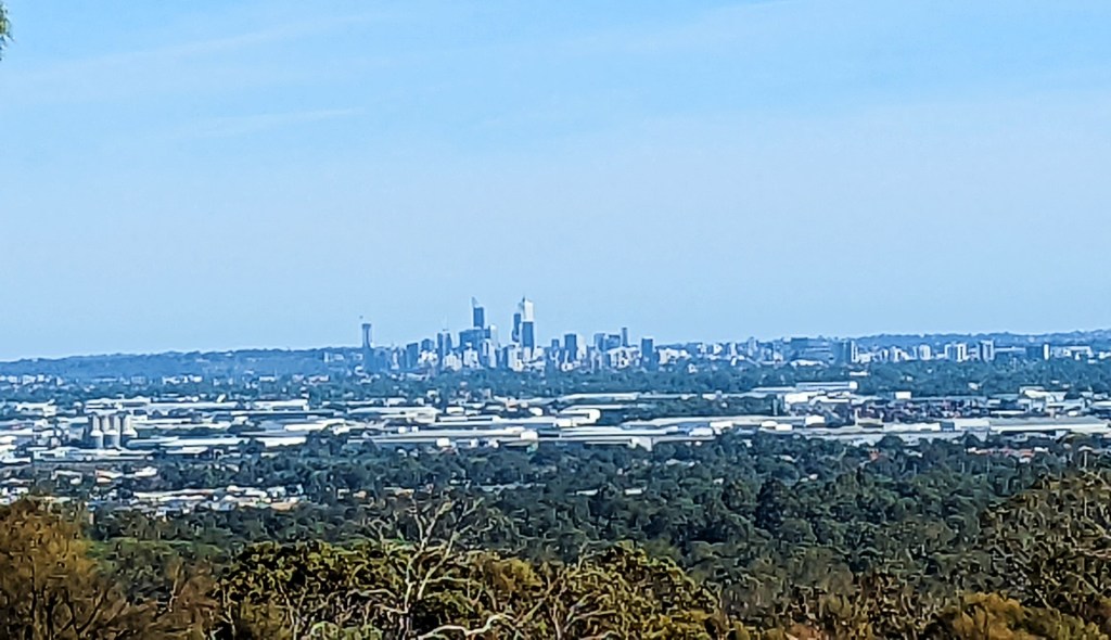
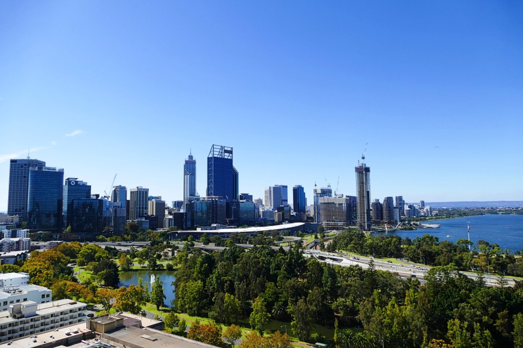
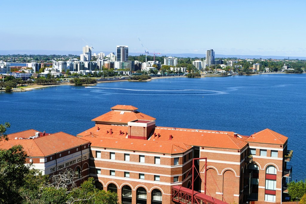
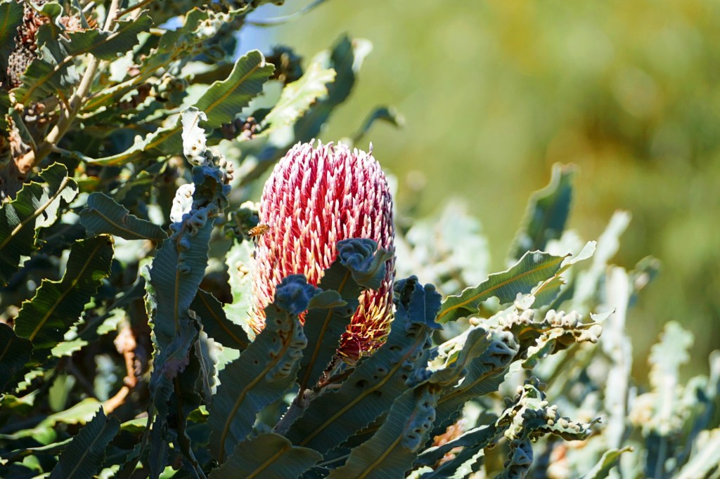
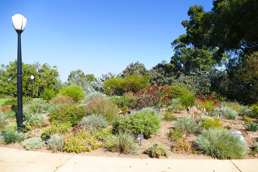
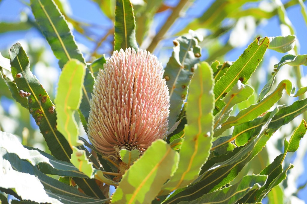
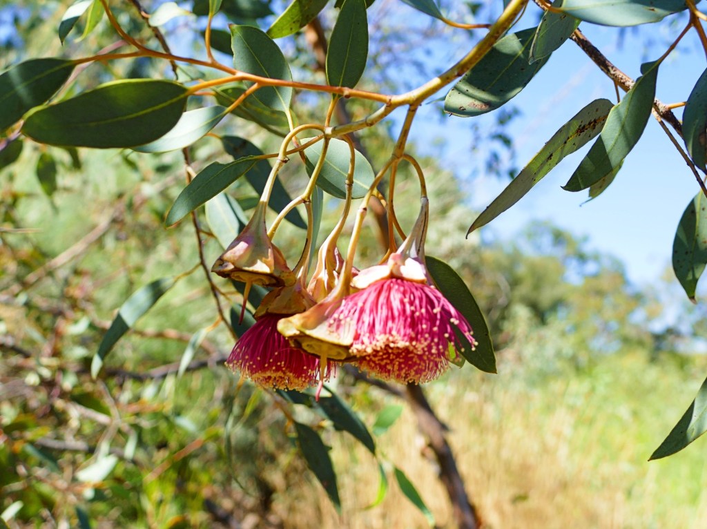
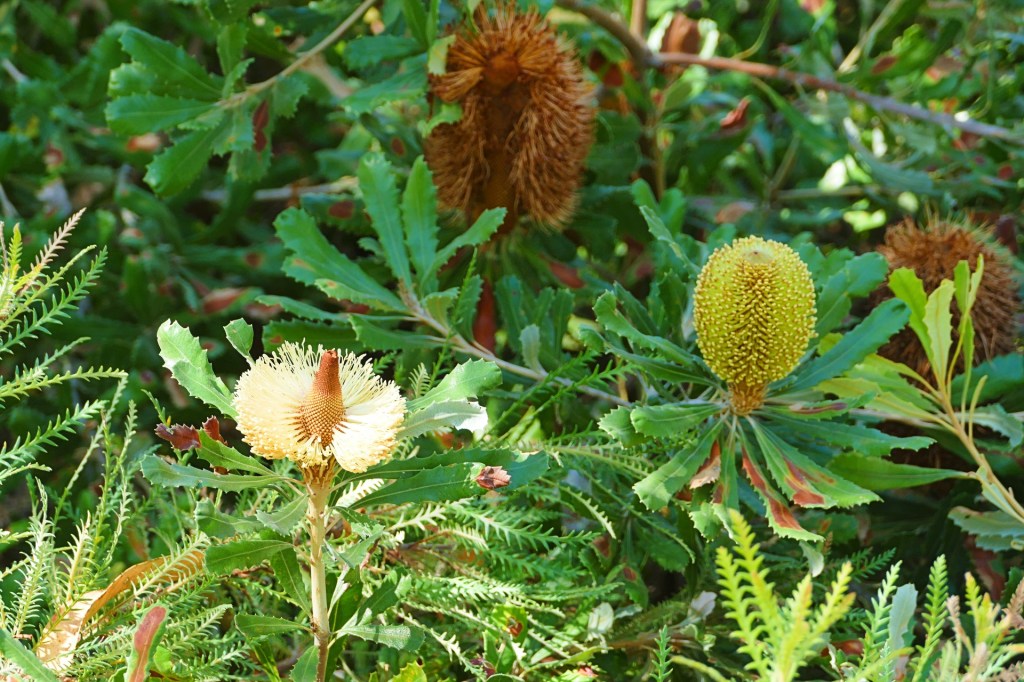
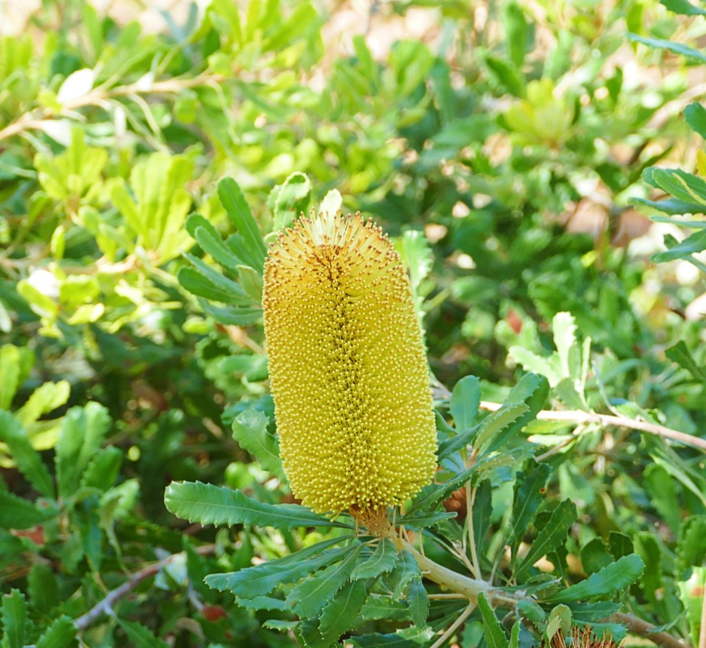
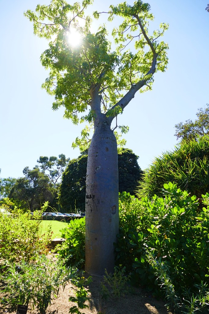
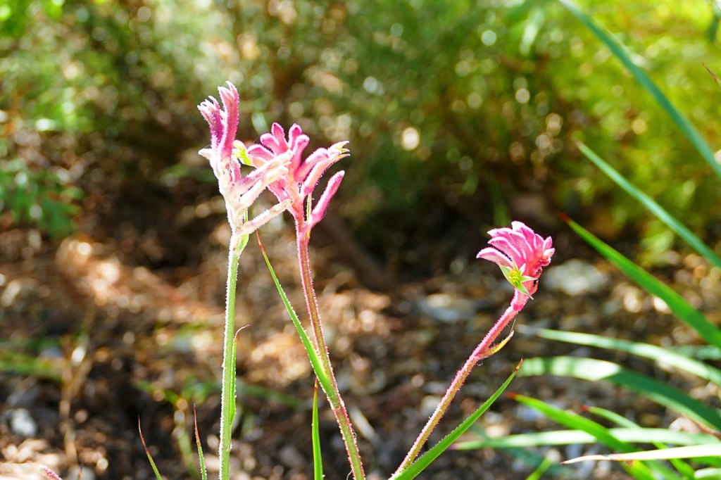
It’s Thursday the 21st April today and we did a trip to Kings Park in Perth to check out the Western Australia Botanic Gardens. Kings Park is located on Mt Eliza and overlooks the CBD and Swan River. We wandered through some of the gardens and I took a lot of pictures. We did not see all of the gardens, not enough hours in the day, as it is so big.
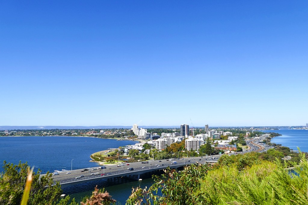
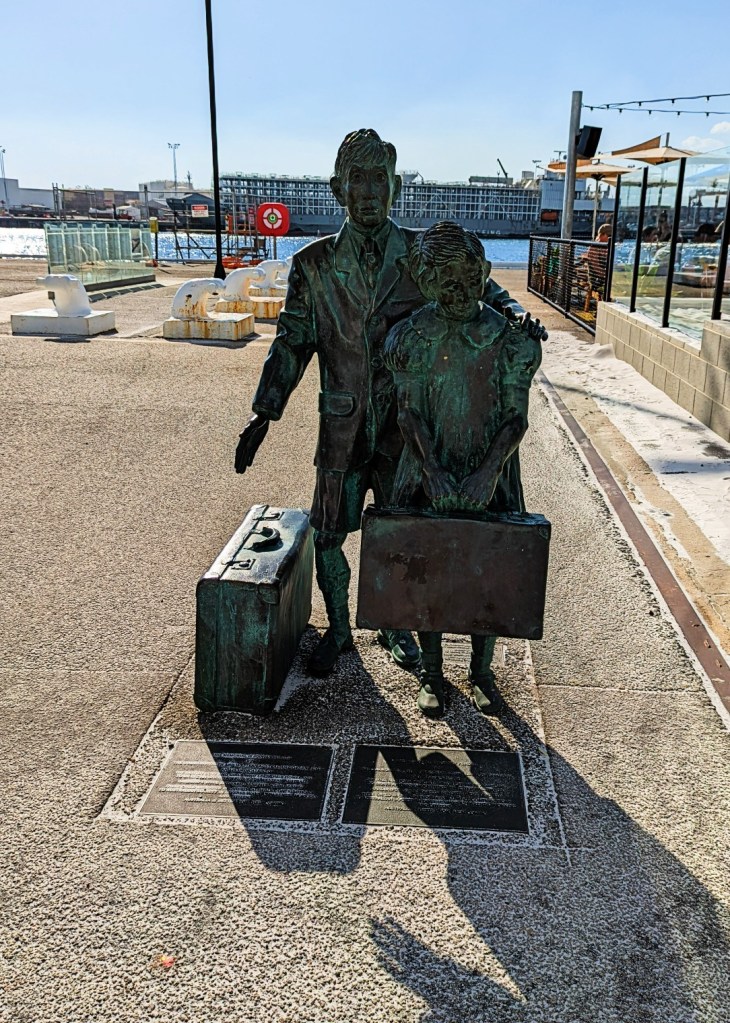
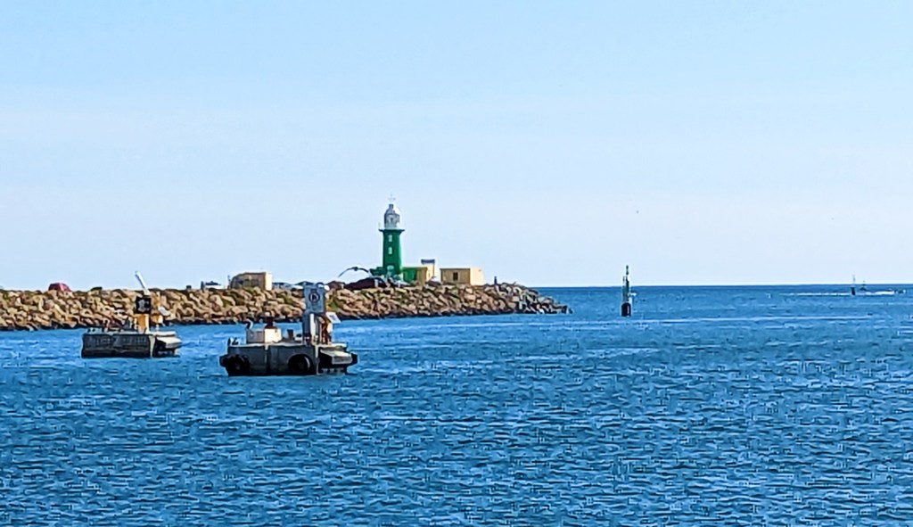
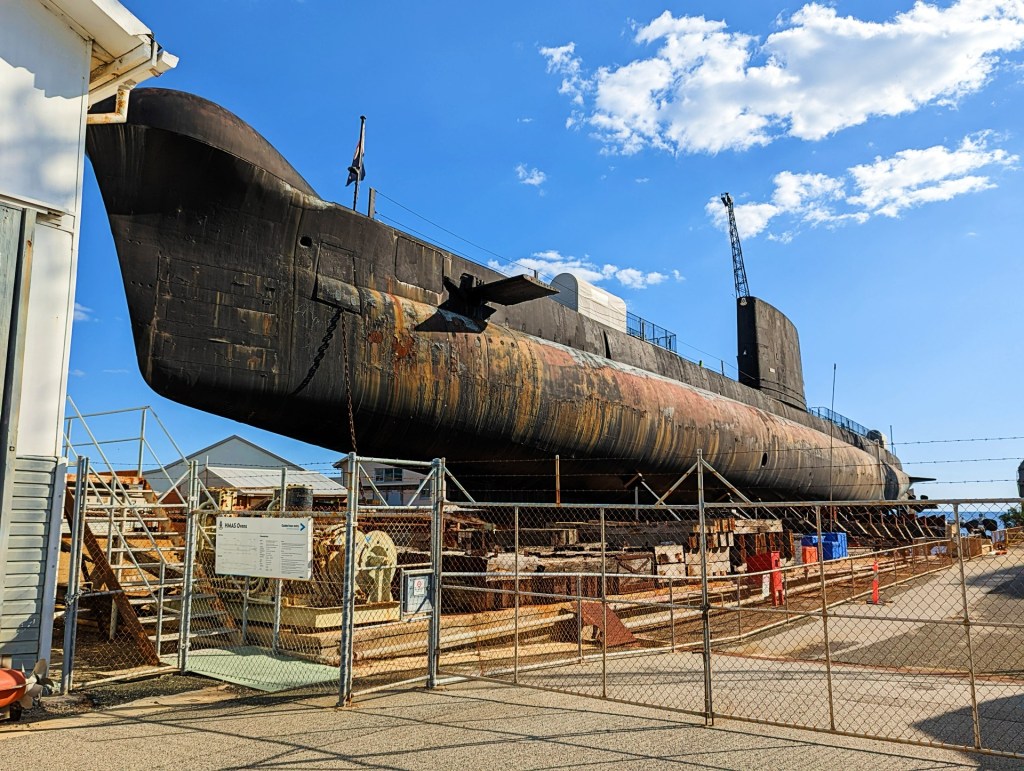
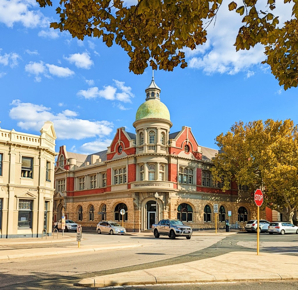
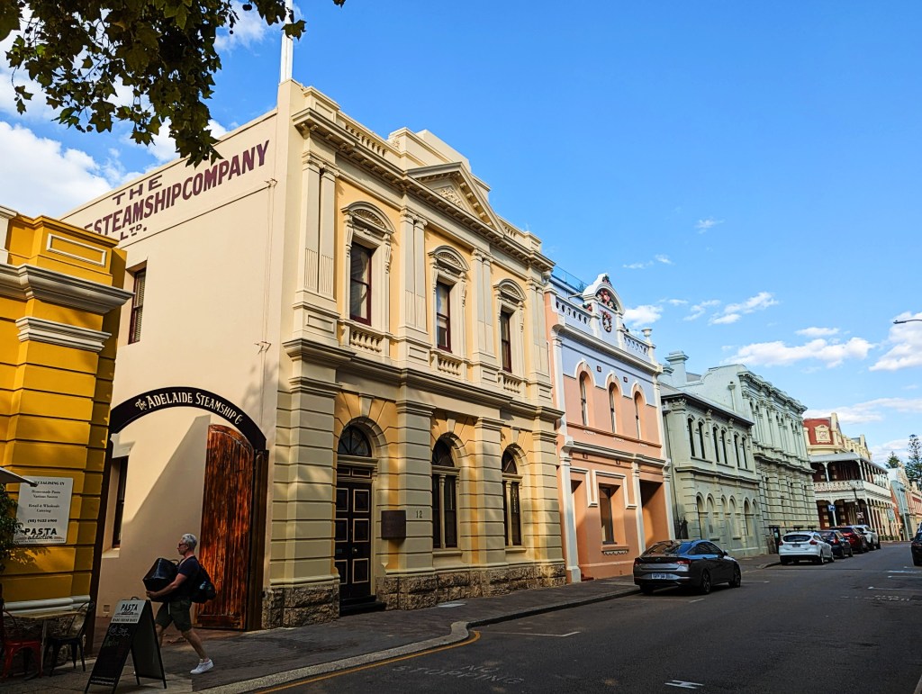
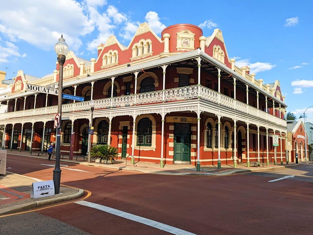
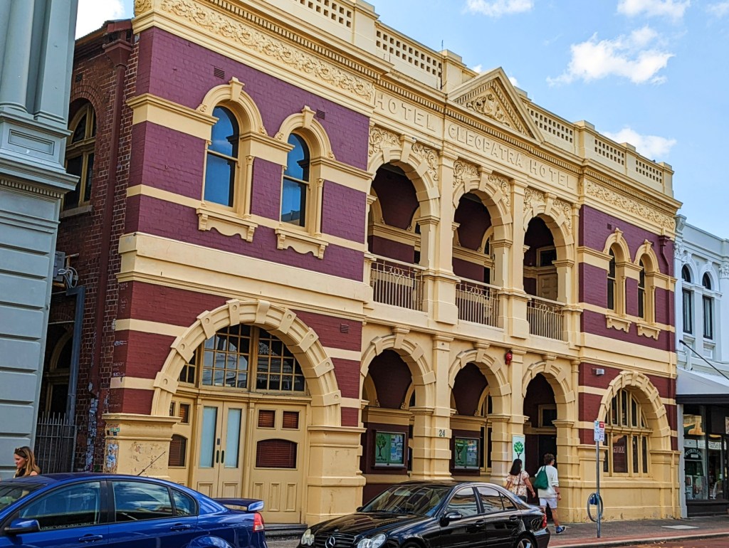
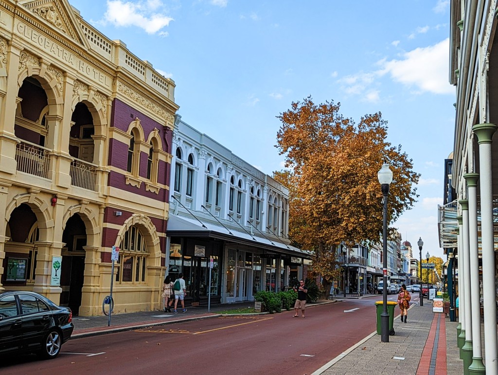
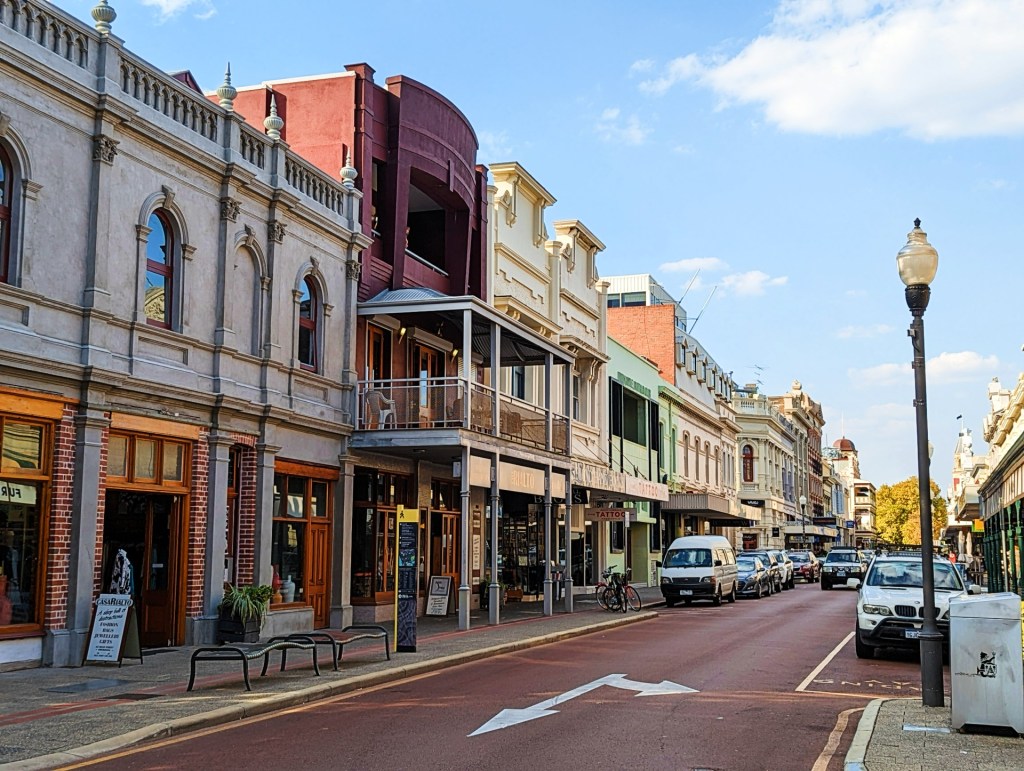
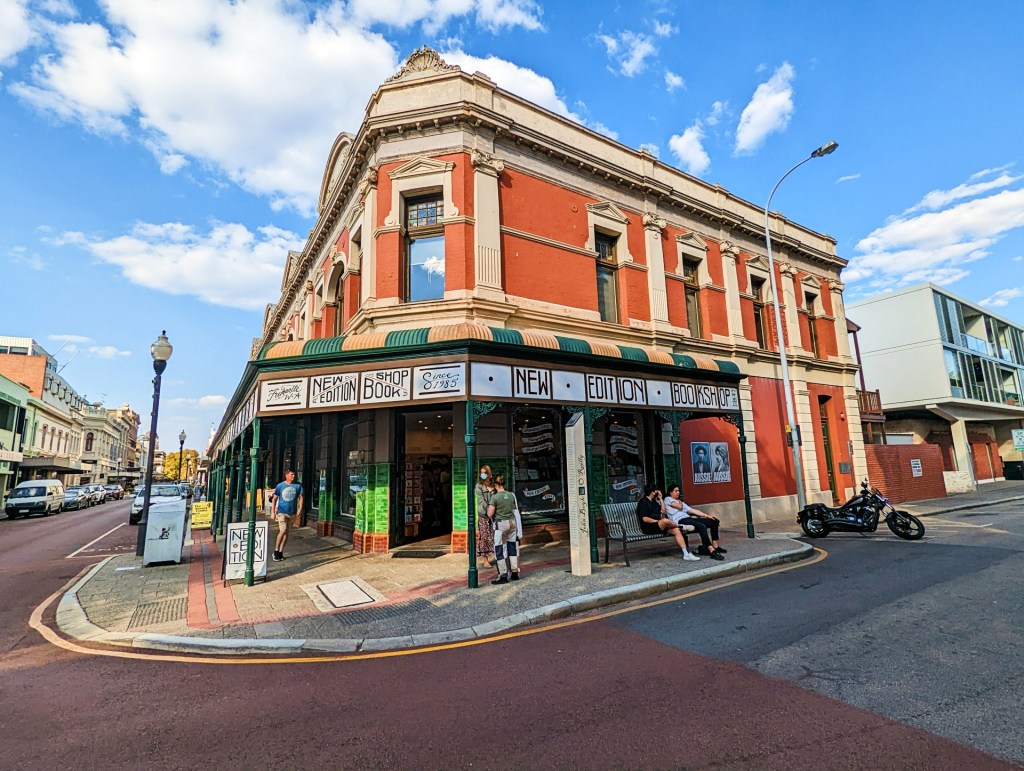
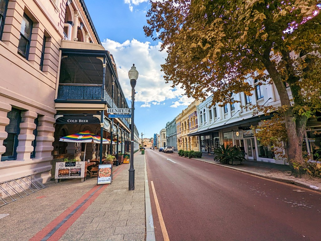
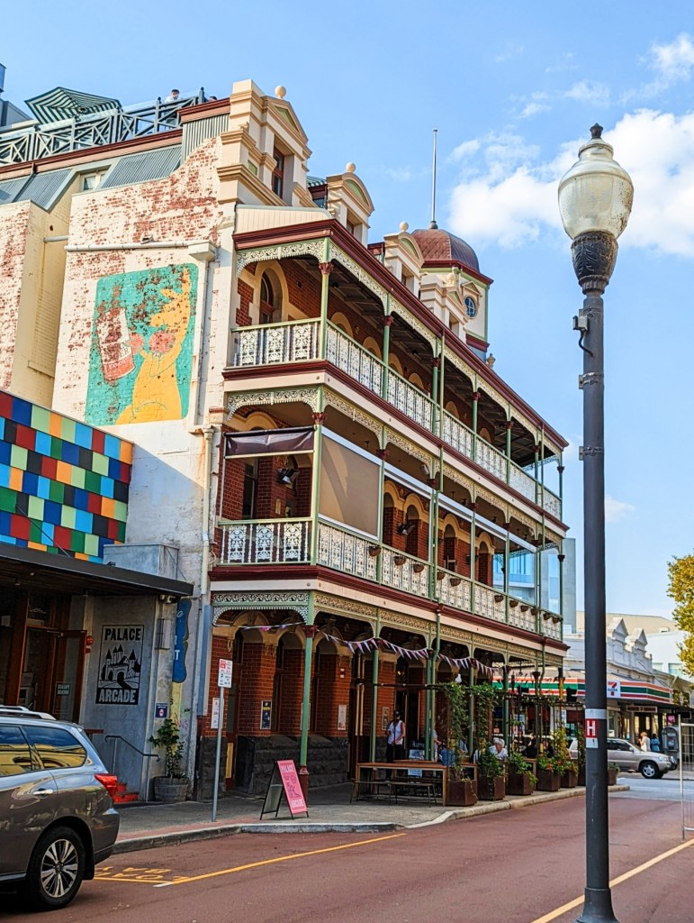
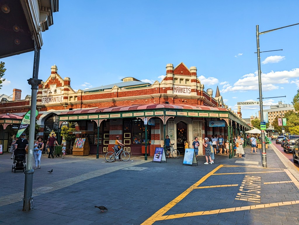
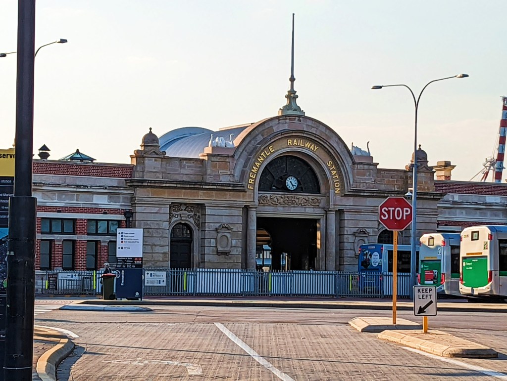
Friday the 22nd April, we did a day trip to Fremantle which is a port city that’s part of the Perth metropolitan area. It’s known for its maritime history, Victorian architecture and remnants from Australia’s days as a British penal colony.
We parked at Fremantle Port, had lunch on there, then walked to the Fremantle Markets. It is a lovely part of Perth, lots of history here and lovely old Victorian buildings.
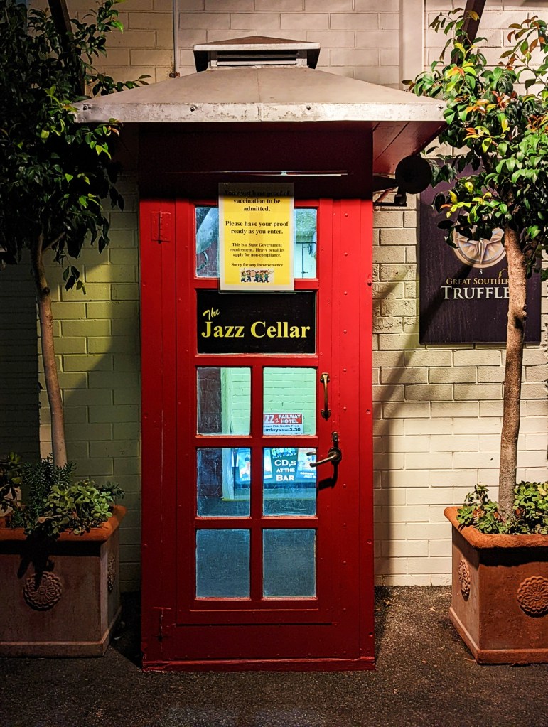
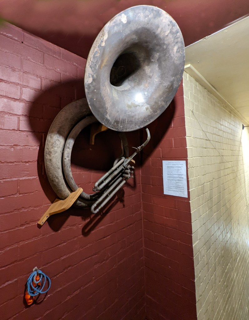
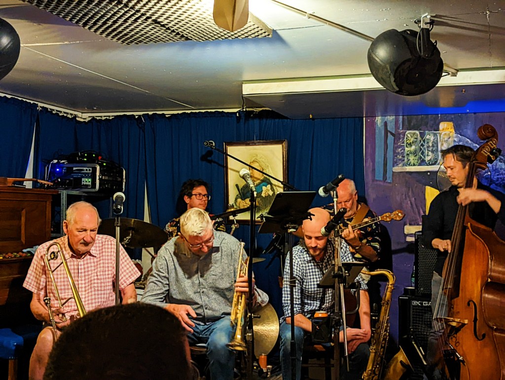
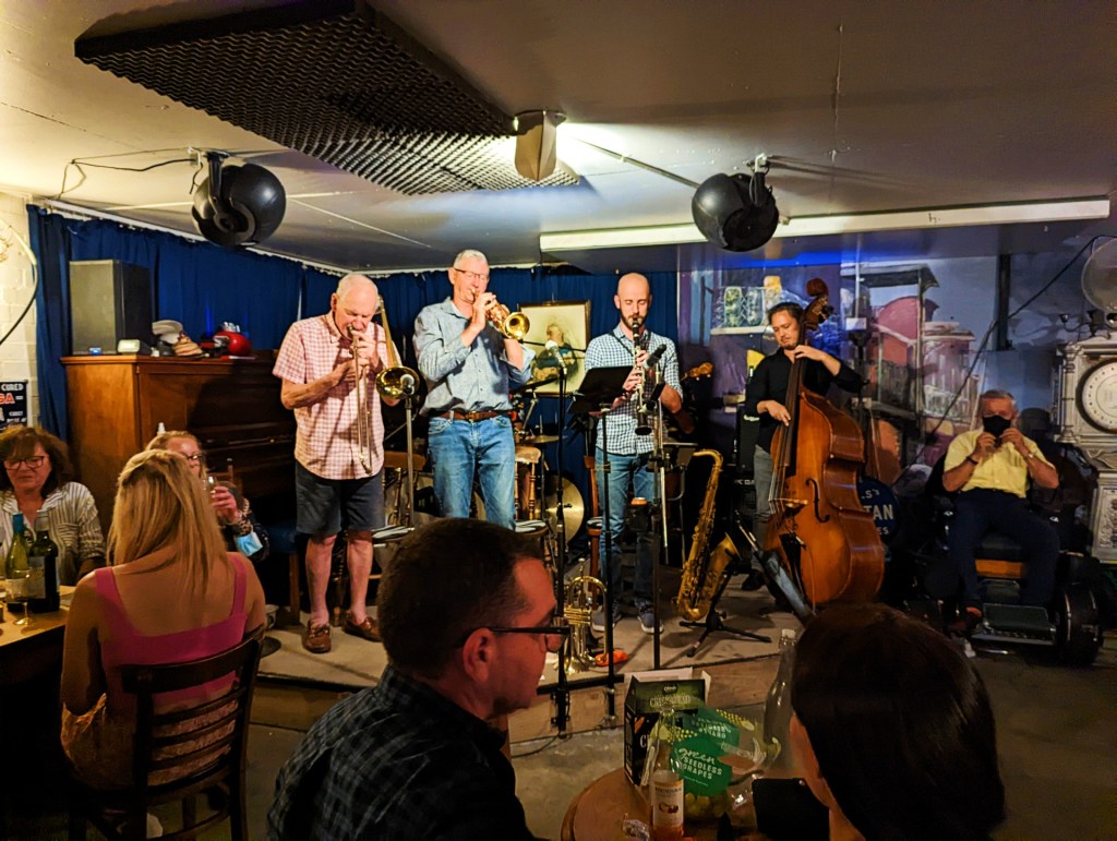
Afterwards we went to a little place called the Jazz Cellar. It is based on a vintage underground speakeasy, you enter via a red telephone box.
Once inside you can see that it actually is a cellar, it has a small stage in one corner and the tables are all old singer sewing machine tables. The walls are adorned with old advertisement signs, everything from Sunlight soap to a haemorrhoid treatment.
The place was packed, lots of laughter and chatting. The Jazz Cellar is not licenced to sell food or alcohol, so it is byo food and drink. People turned up with platters of cheese, cold meets dips etc and their bottles of preferred beverages.
At 7:30, the band paraded in and then played jazz music for the rest of the night. It was a great atmosphere, the music was fun, people got up and danced, good time had by everyone.
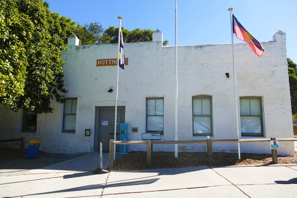
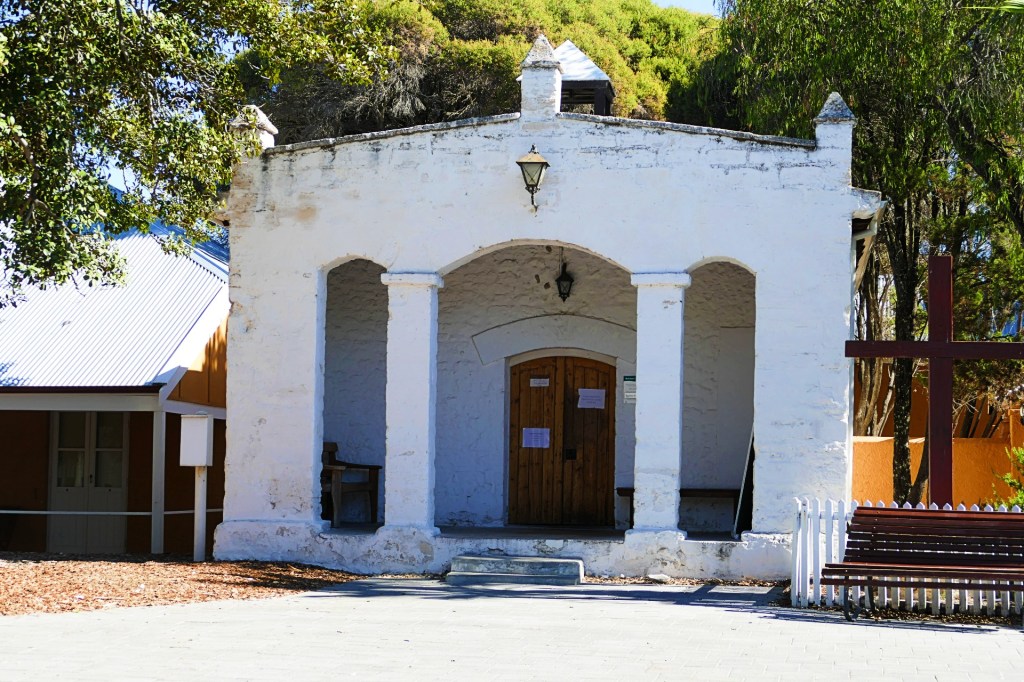
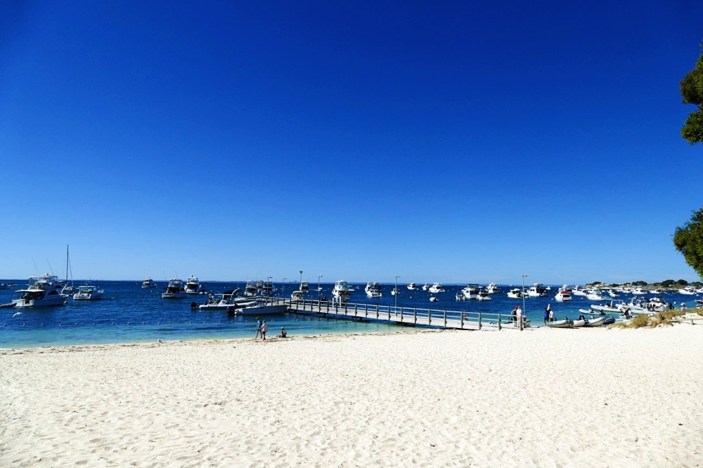
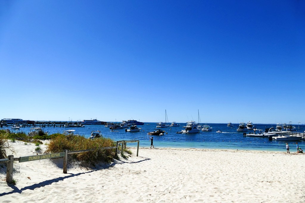
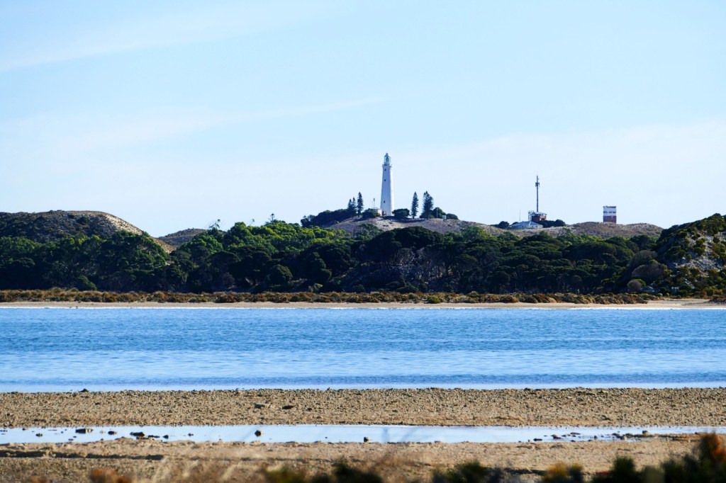
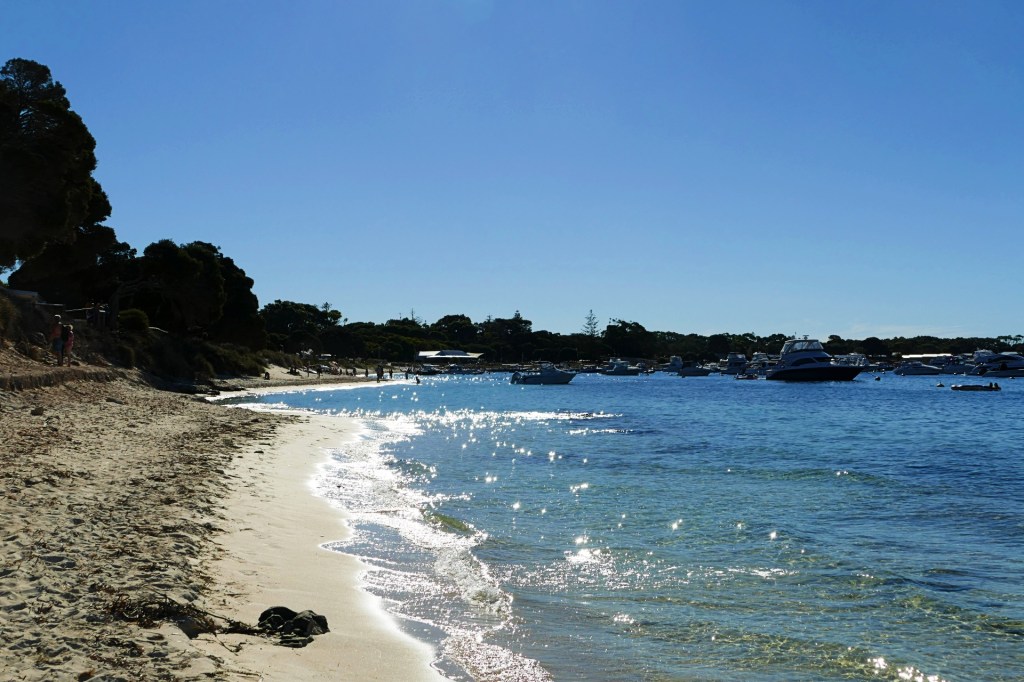
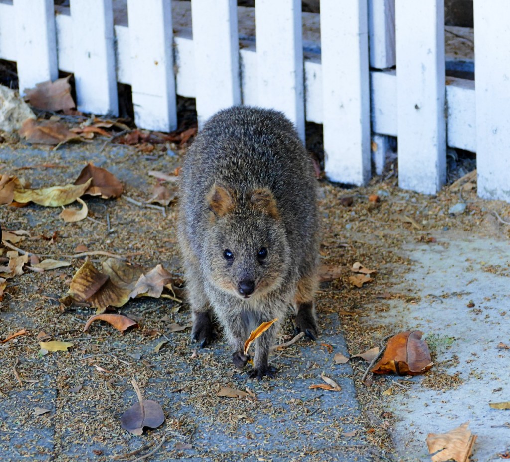
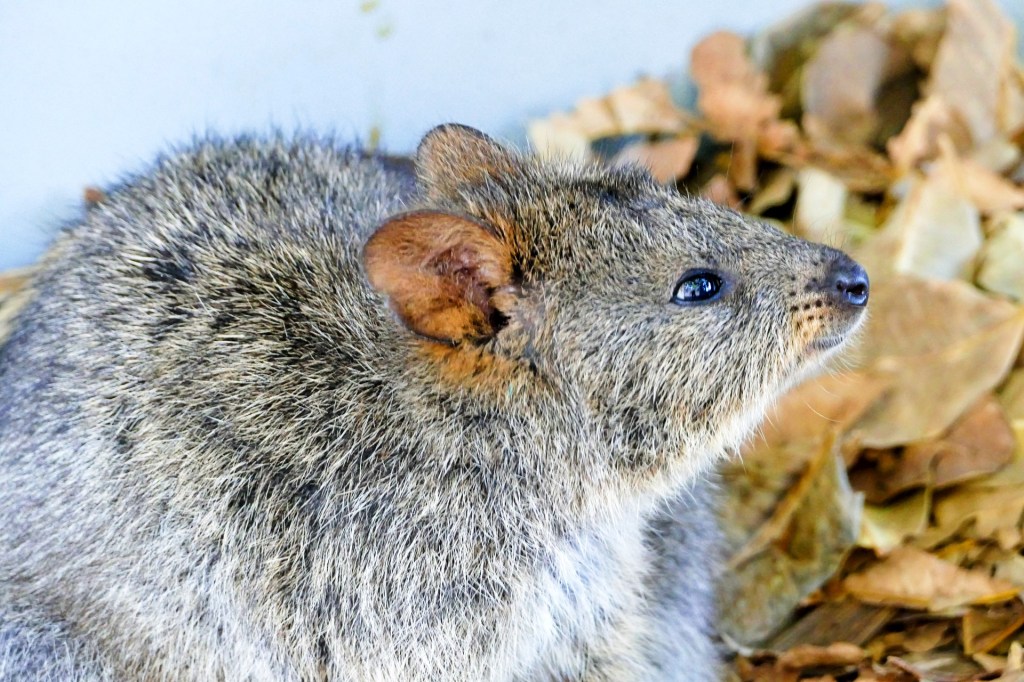
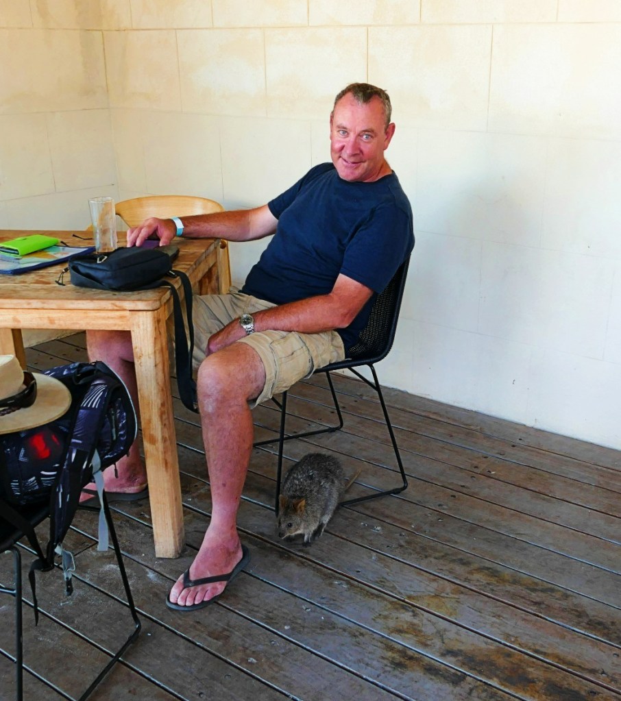
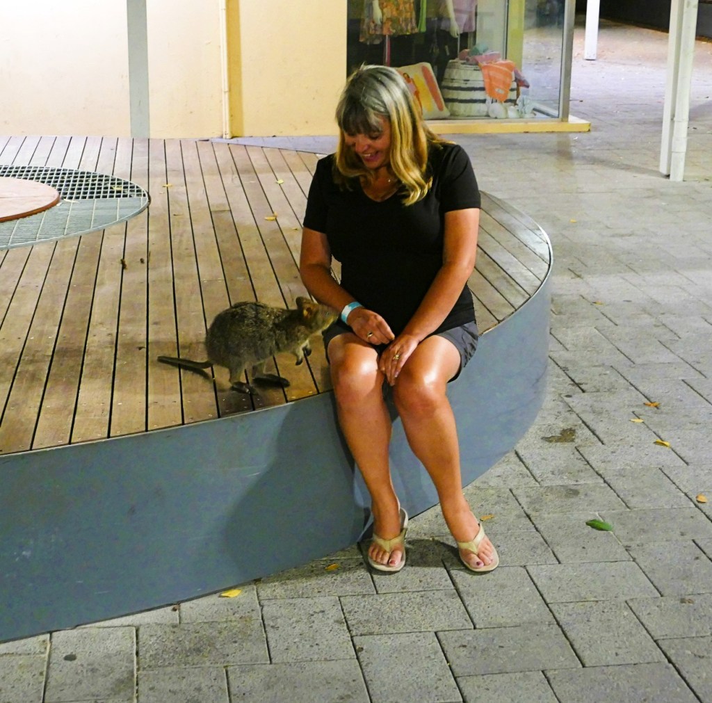
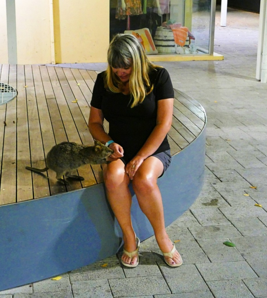
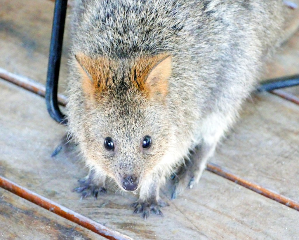
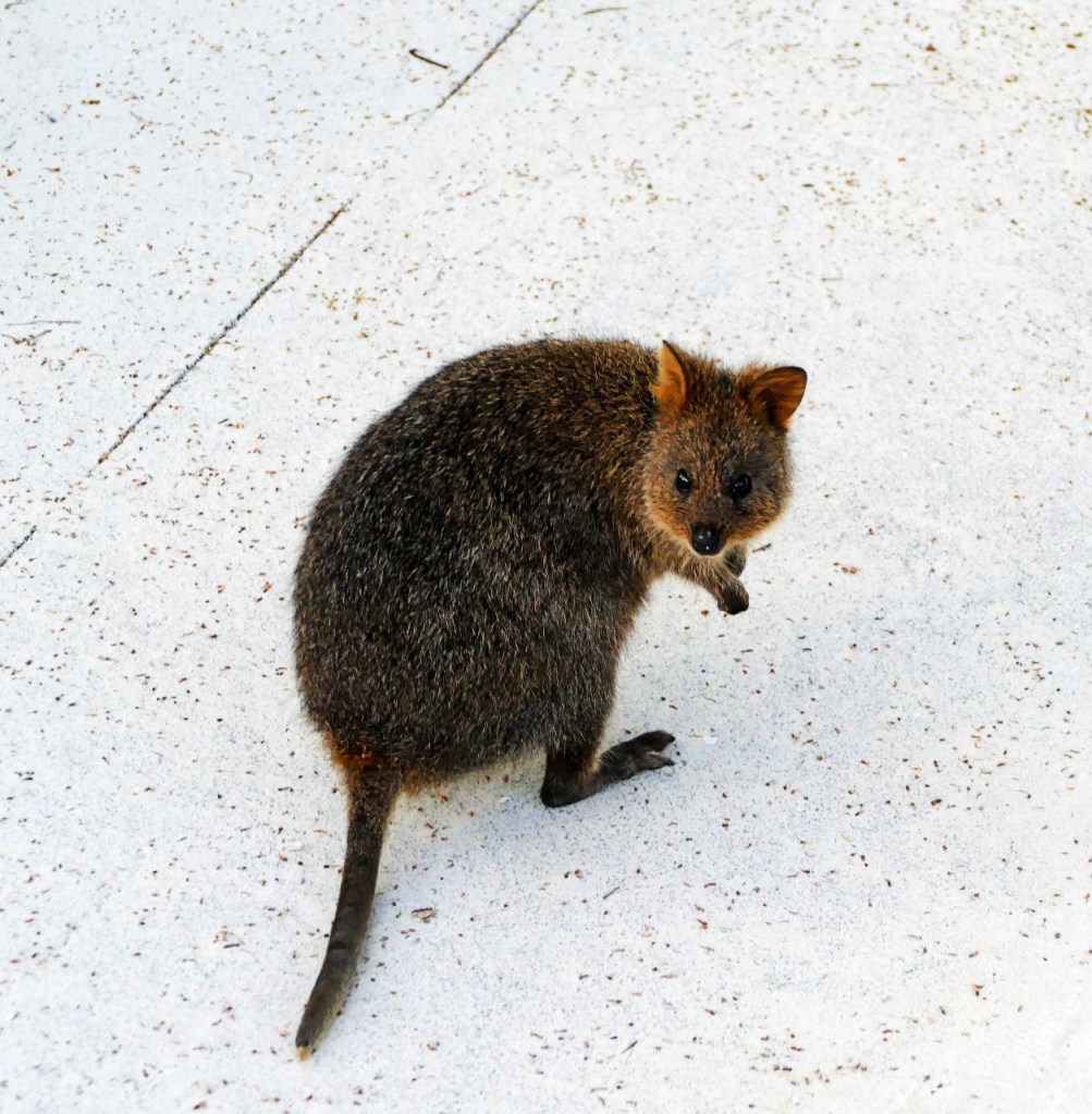
Sunday the 24th April we decided to visit Rottnest Island, we had planned to visit later in the week, but the forecast showed rain for the next 5 days, so we changed our plans.
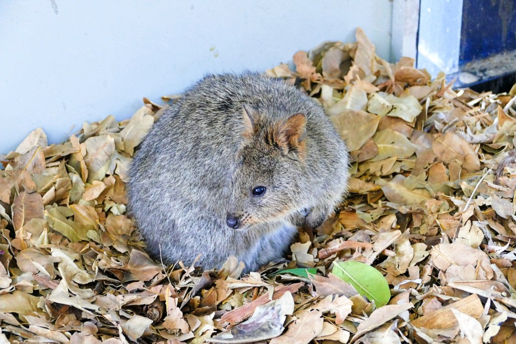
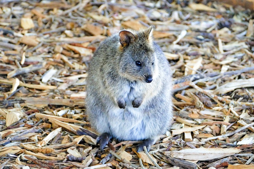
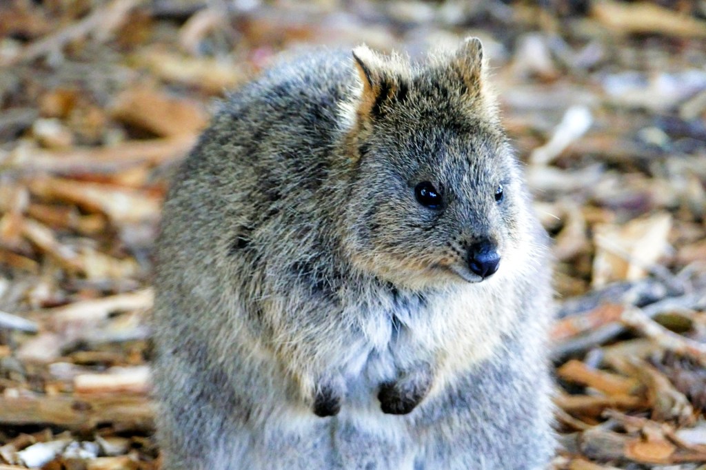
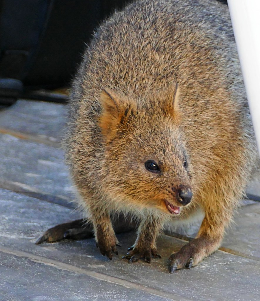
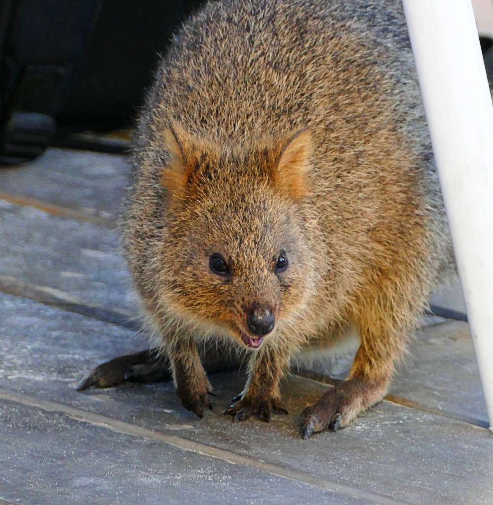
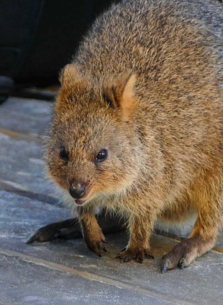
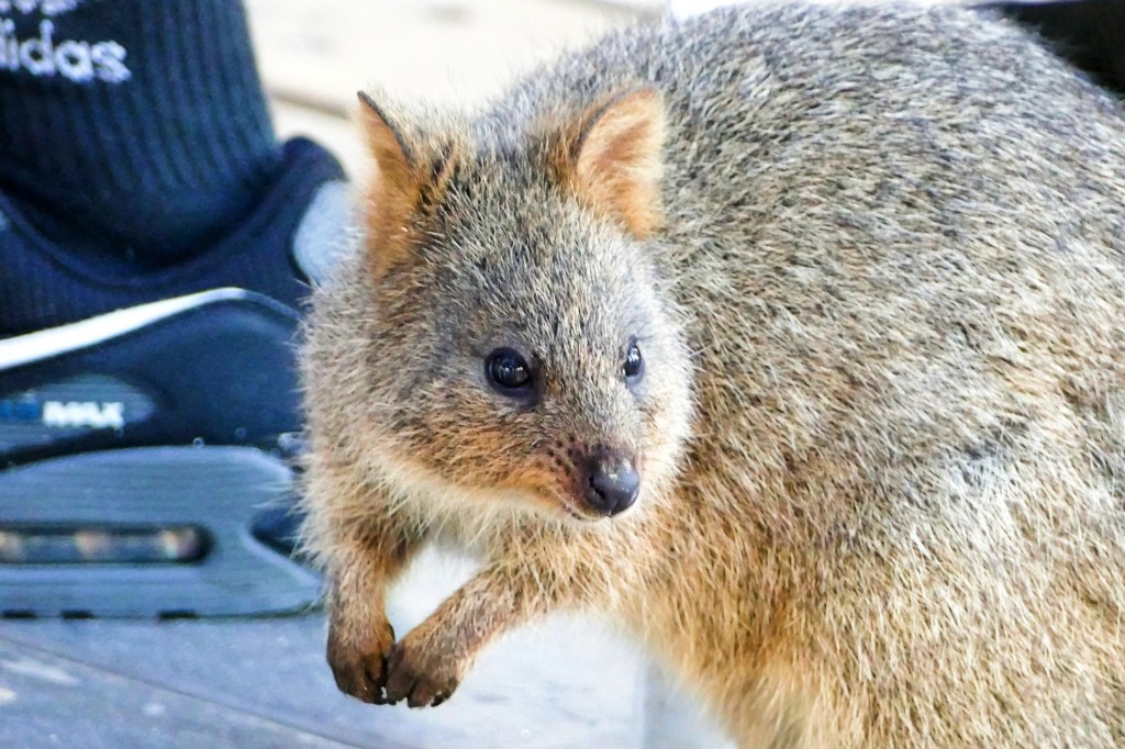
Rottnest Island sits just offshore from Perth. It is a protected class A nature reserve, the highest protection afforded to public land. It is home to the quokka, a small wallaby-like marsupial which are very cute, friendly and popular with the tourists. Boasting White-sand beaches and secluded coves, the island is steeped in history, some good but a lot not so good.
The traditional owners of the island are the Whadjuk Noongar people, the Noongar name for the island is Wadjemup, which means “place across the water where the spirits are”. Human artefacts have been found on the island dating back at least 30,000 years, but visitation and habitation of the island by the Noongar people appears to have ceased following its separation from the mainland. Despite this, Wadjemup still remained extremely significant to Whadjuk cultural beliefs related to ‘life after death’. Today, the Island is known by Whadjuk people as the resting place of the spirits. The Island is considered to be a place of transition between the physical and spiritual world and the spirit of the deceased is believed to travel to Wadjemup during its journey towards the afterlife. When the spirit is ready to leave the physical world it moves to the west end of the Island, where the whale takes the spirit on to its final resting place known as Kooranup, located on the horizon in the deep ocean west of the Island. Whadjuk people consider the Island to be a spiritual paradise.
After separating from the mainland, the island remained uninhabited until 13 Dutch sailors from the Waeckende Boey landed near Bathurst Point on the 19 March 1658. In 1696, Dutch captain Willem de Vlamingh spent 6 days exploring the island before giving it the name ‘t Eylandt ‘t Rottenest (“Rats’ Nest Island”) after the quokkas which he mistook for giant rats. In his reports, Willem described Rottnest island as “…a paradise on earth”.
A couple hundred years later, William Clarke and Robert Thomson received land grants from the British Swan River Colony for pasture land and town lots to be built on the island. In 1831 Thomson moved his family to the island and began building up the island’s main settlement at Thompson Bay. Pasture land for hay production was developed west of Herschel Lake, while several salt lakes were harvested and the salt was exported to the mainland.
During World War II, Rottnest Island was an important part of the defence of the Fremantle port. Military fixtures including the railway, barracks, concrete lookouts, bunkers and four large guns positioned at Oliver Hill and Bickley Point became known as the “Rottnest Island Fortress”. Much of this infrastructure was decommissioned after WWII and in the 1990s the gun emplacements and railway were extensively reconstructed.
During the early years of the Swan River Colony, British and European colonists were being granted parcels of land throughout Whadjuk country and beyond.
Land soon became a contested resource between Aboriginal and non-Aboriginal people and this quickly led to confrontation and conflict.
Aboriginal people frequently received long prison sentences for minor actions, some of which were not recognised by the Aboriginal people, such as killing a sheep or cow whilst hunting in their traditional hunting grounds and bad language. Most of the men incarcerated were leaders or law makers within the Aboriginal communities. This lead to devastation within these communities.
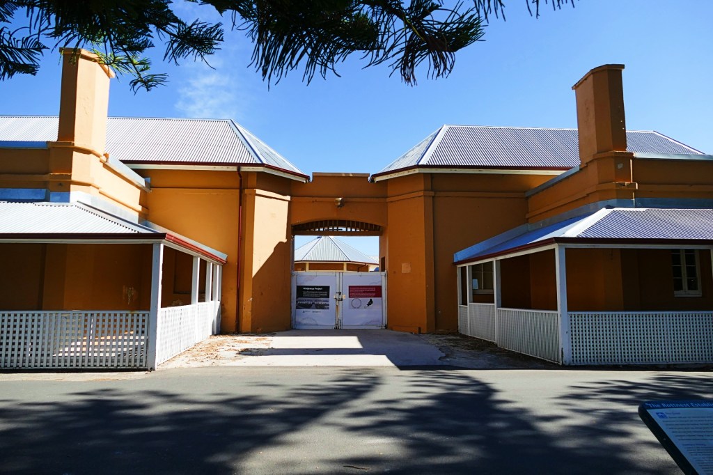
The first ten Aboriginal prisoners were brought to the Island in August 1838. After a brief period when settlers and prisoners occupied the Island, the Colonial Secretary formalised the Island’s use as a penal establishment for Aboriginal people in June 1839.
The Island was used as an Aboriginal prison until 1904 (except for a short period of closure from 1849-1855), and subsequent forced labour camp for prisoners until 1931. Around 4,000 Aboriginal men and boys from all over the former colony, and after Federation the State of Western Australia were incarcerated on the Island, many of them having been transported in chains for thousands of miles. General public access to the Island during the prison era was restricted.
During this period, Aboriginal prisoners were forced to construct a large number of buildings and other structures including the Quod, Seawall, heritage cottages in the main settlement, the museum, churches, lighthouses and other heritage listed infrastructure, mostly under the supervision of Superintendent Henry Vincent.
Most of the development took place in Thomson Bay, including the Quod which was constructed as prison accommodation for the Aboriginal prisoners.
During the prison years it is reported that around 370 Aboriginal prisoners died. While most deaths were caused by disease, it is recorded five prisoners were hanged. The Wadjemup Aboriginal Burial Ground is located within the Thomson Bay Settlement, adjacent to the Quod.
Closure of the Aboriginal prison was recommended in 1902. It officially closed in 1904, beginning the period of a forced labour camp where Aboriginal prisoners were used to build roads and other works on the Island until 1931.
Its Wednesday 27th April today and my birthday. Bob took me to Core Cider for lunch. It is not far and has a great menu. We ate a lovely meal and had a great time. We also had a tasting paddle of their cider, for our taste, Carmel Cider was much nicer.
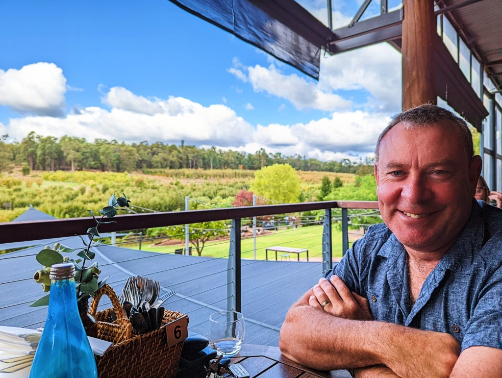
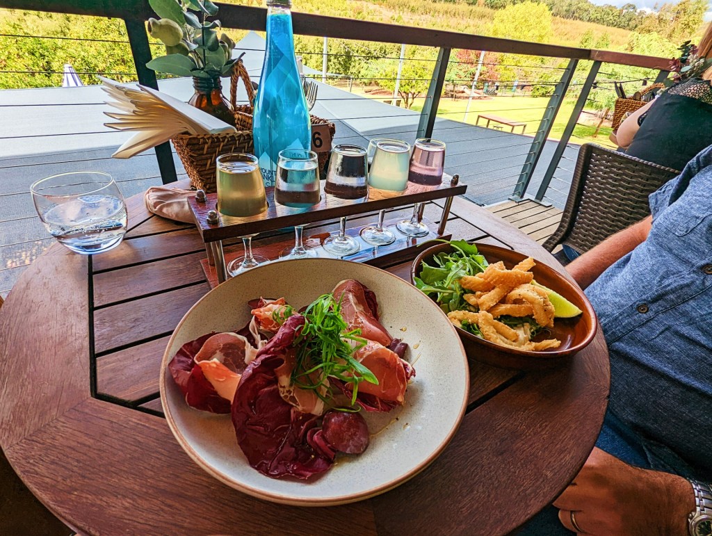
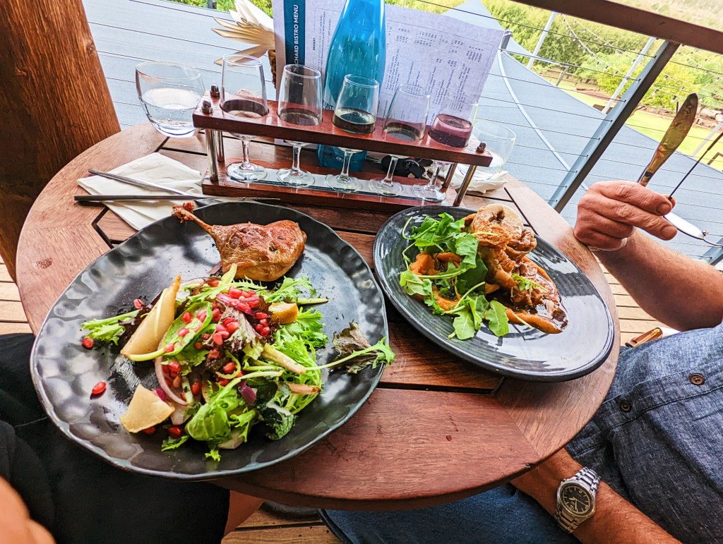
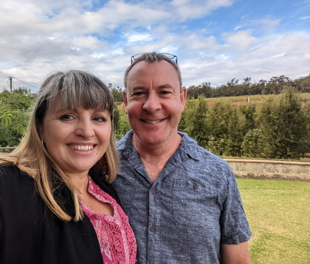
We are still camped at Carmel Cider camp ground. It is convenient and quite lovely in the orchard. The owners Dave and Andrew are very easy going and great hosts. If anyone out there needs a place to stay, we highly recommend it here, nice open spaces, lovely aspect, water is available and you can have a fire, not to mention great cider.
Please click on “May 2022” from the menu at the top of the page to continue
