Exmouth . Paraburdoo . Kurinjini National Park . Tom Price . Hammersley Gorge . Millstream Chichester National Park . Port Hedland . Cape Keraudren . Cootenbrand Crk . Broome . Willie Creek . Derby . Gibb River Road . Windjana Gorge . Tunnell Creek . Bell Gorge . Manning Gorge . Mitchell Falls . Drysdale Station . Kununurra
Perentie Wandering June 2022
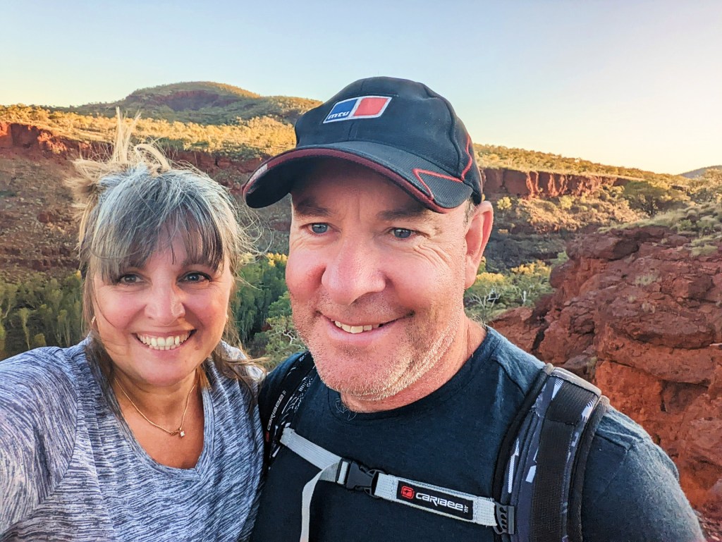
Day 116, Wednesday the 1st of June, 2022
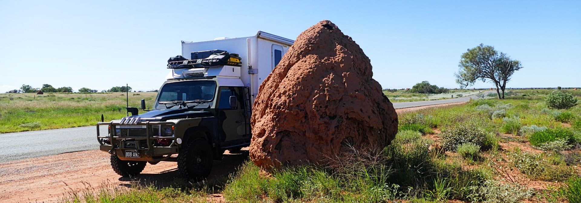
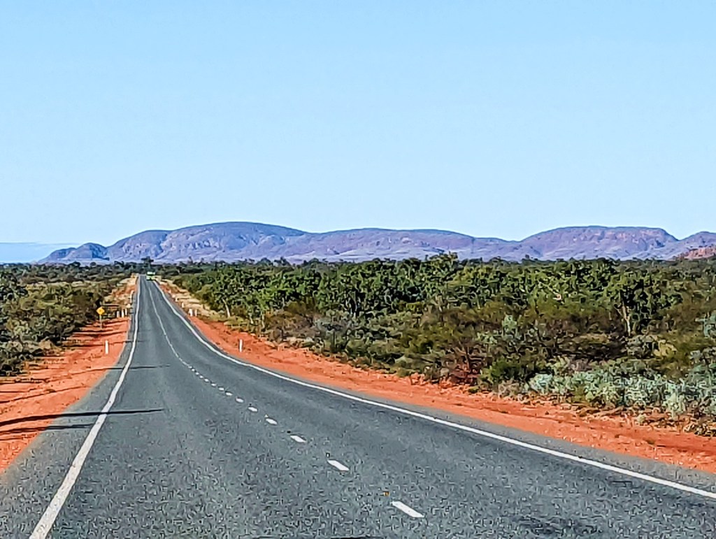
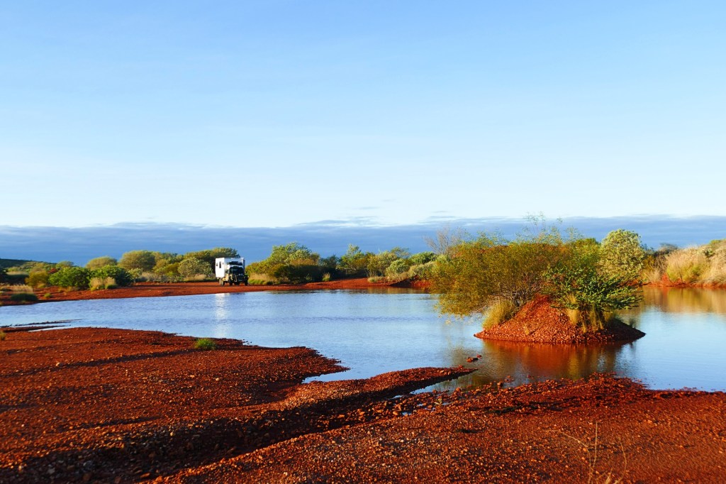
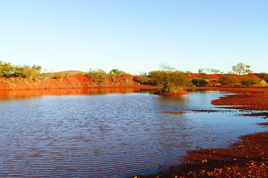
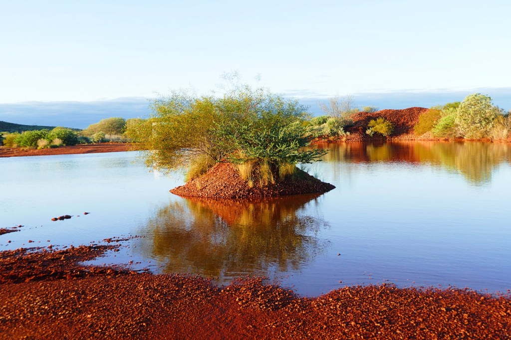
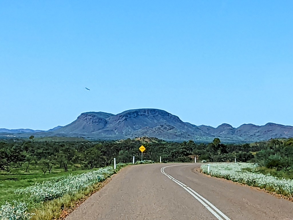
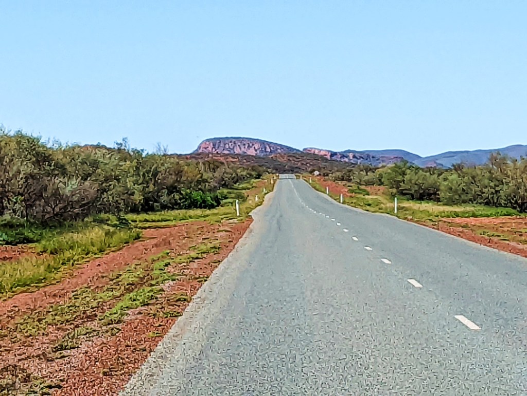
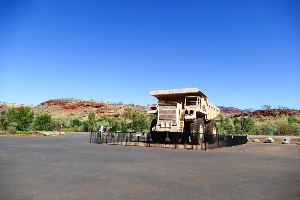
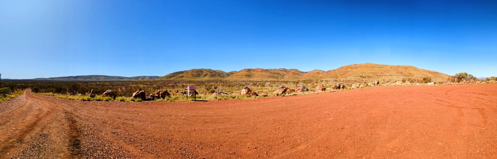
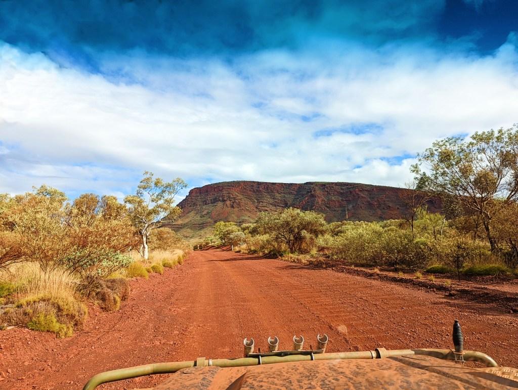
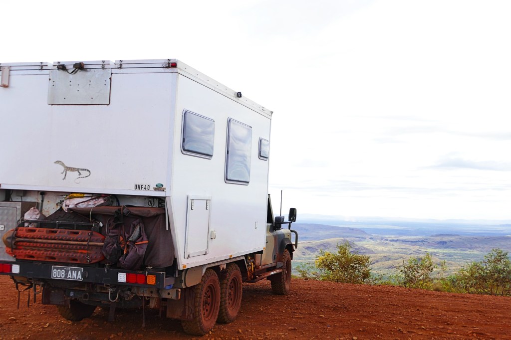
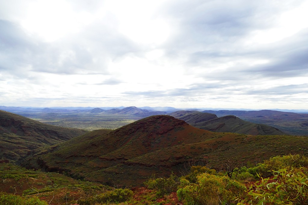
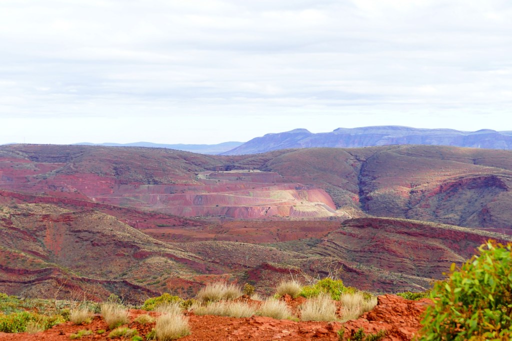
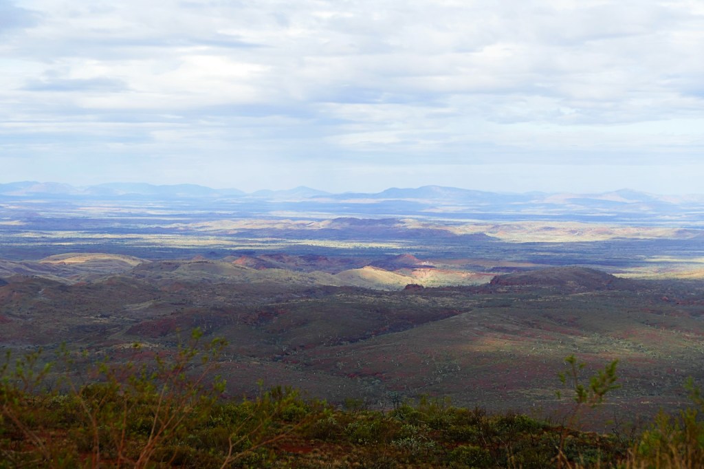
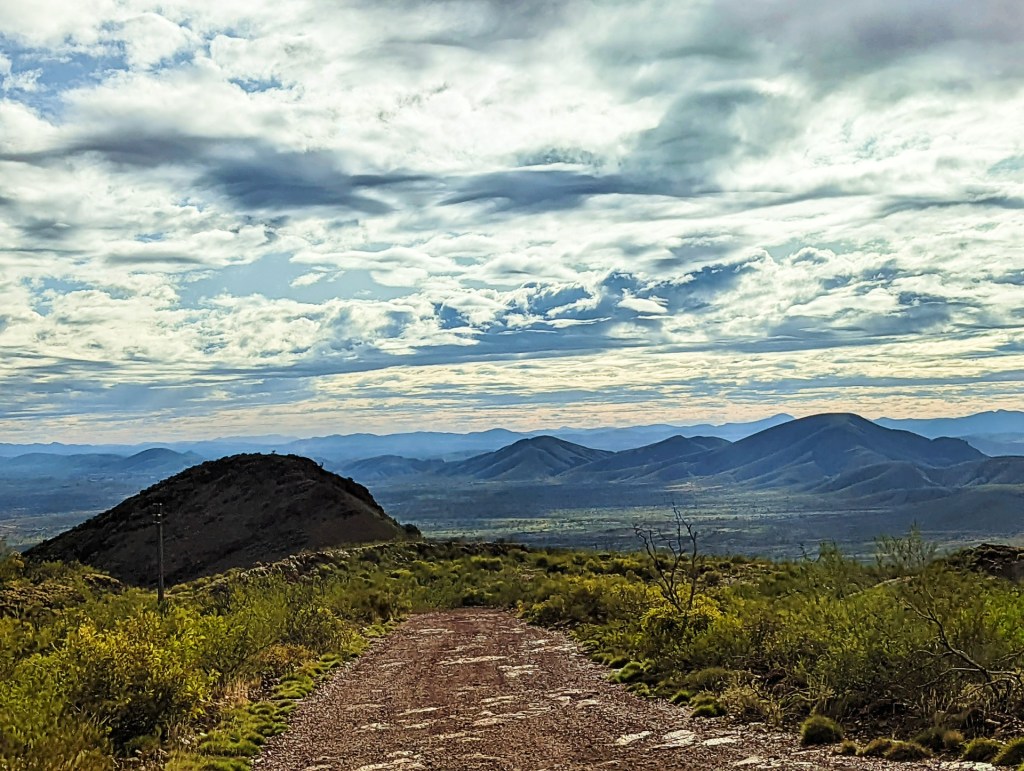
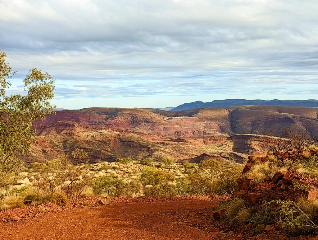
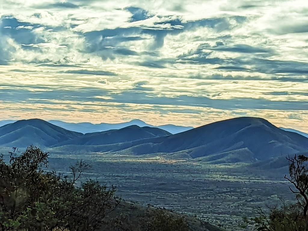
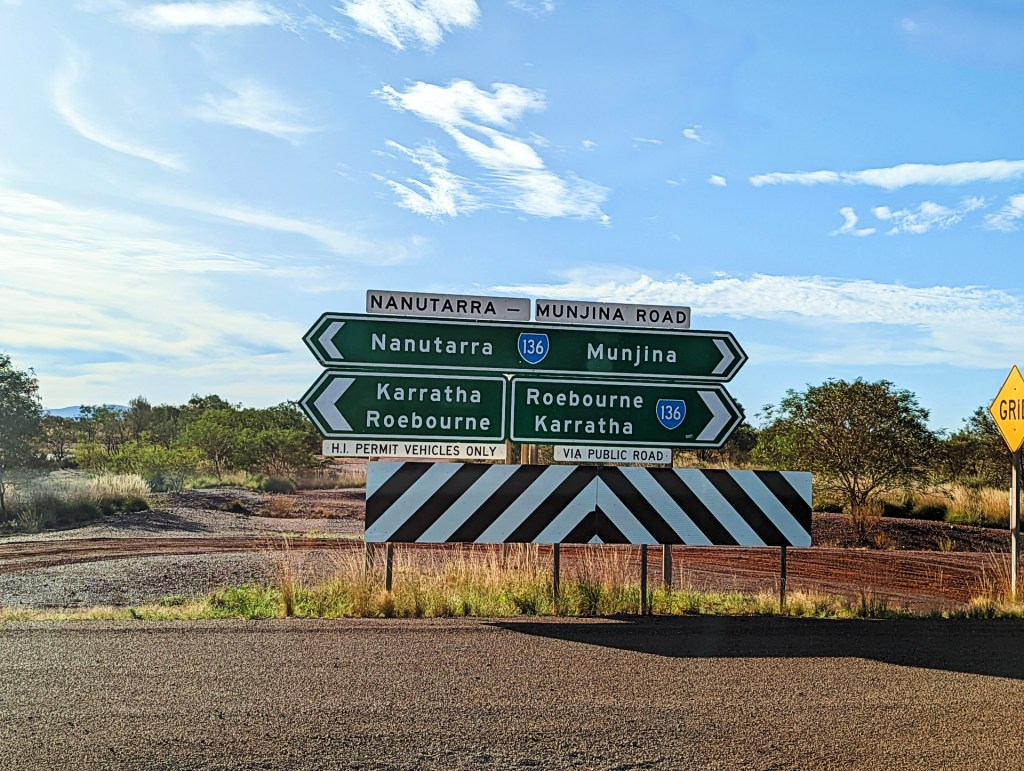
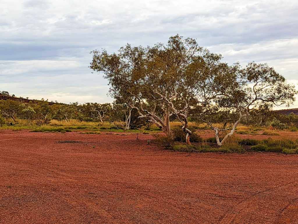
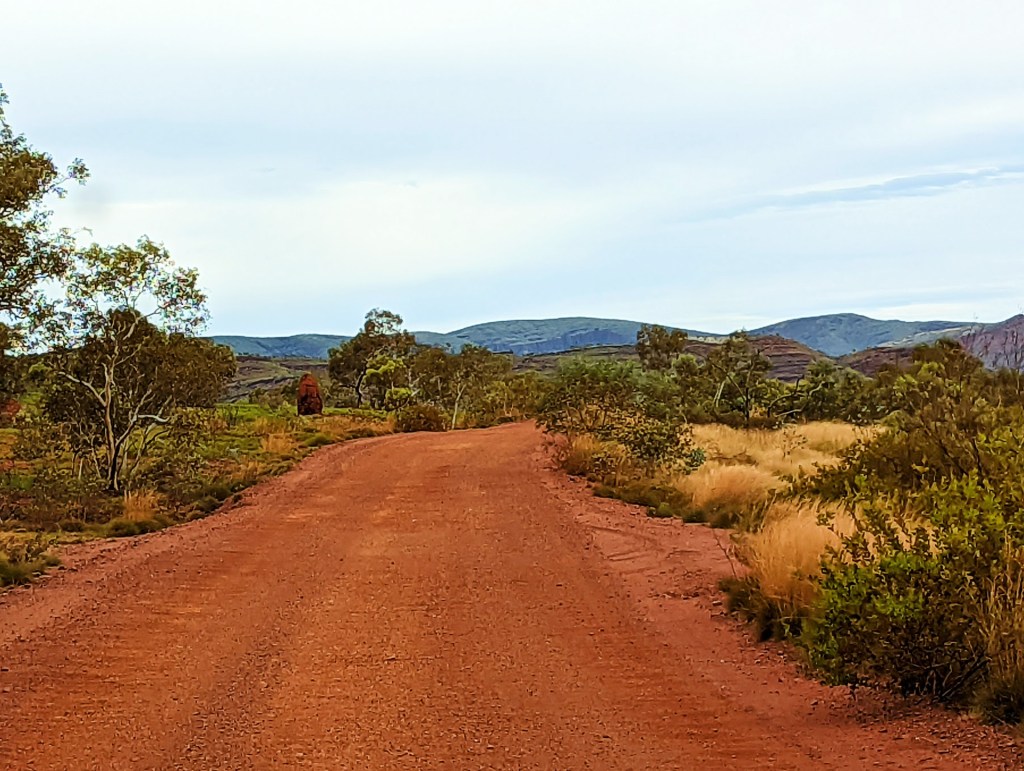
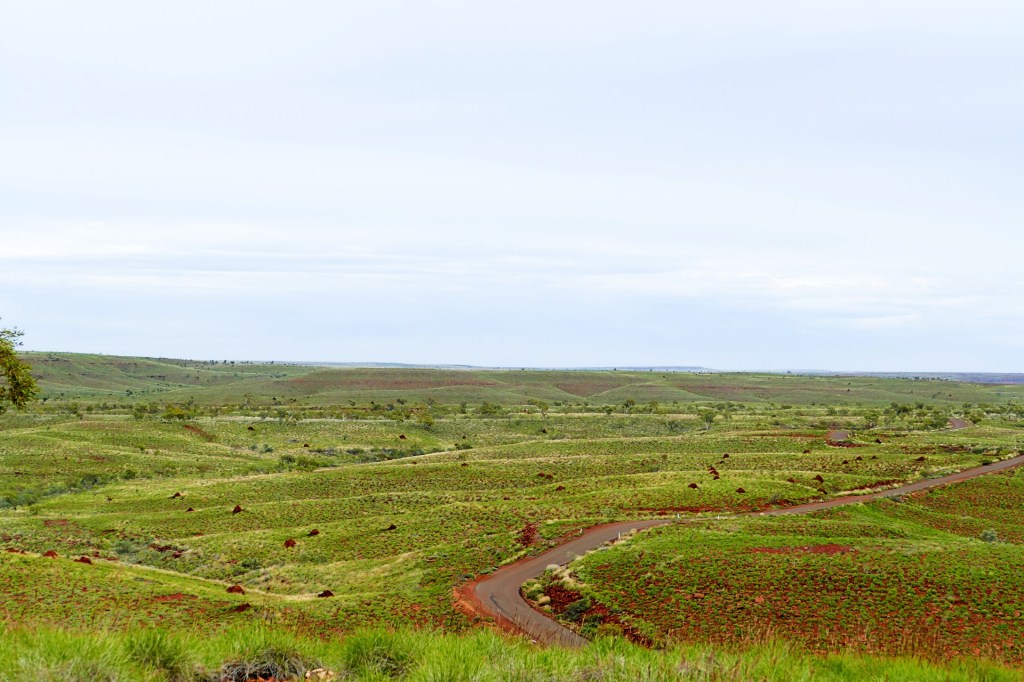
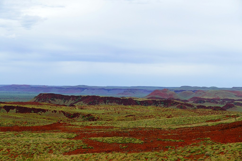
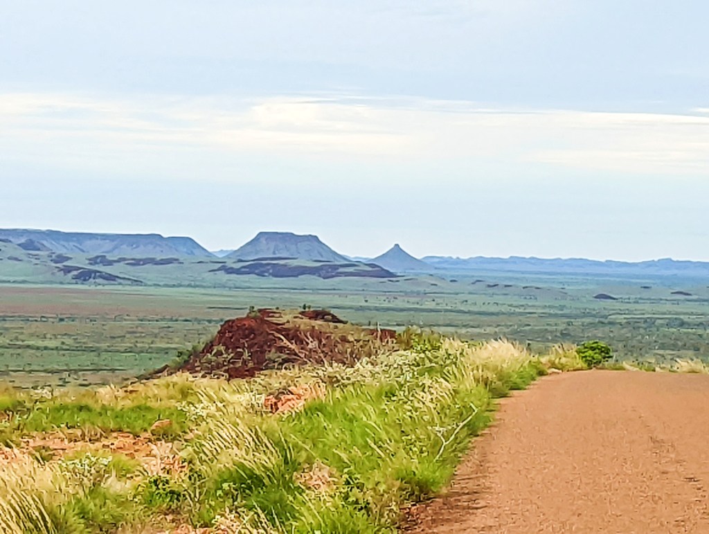
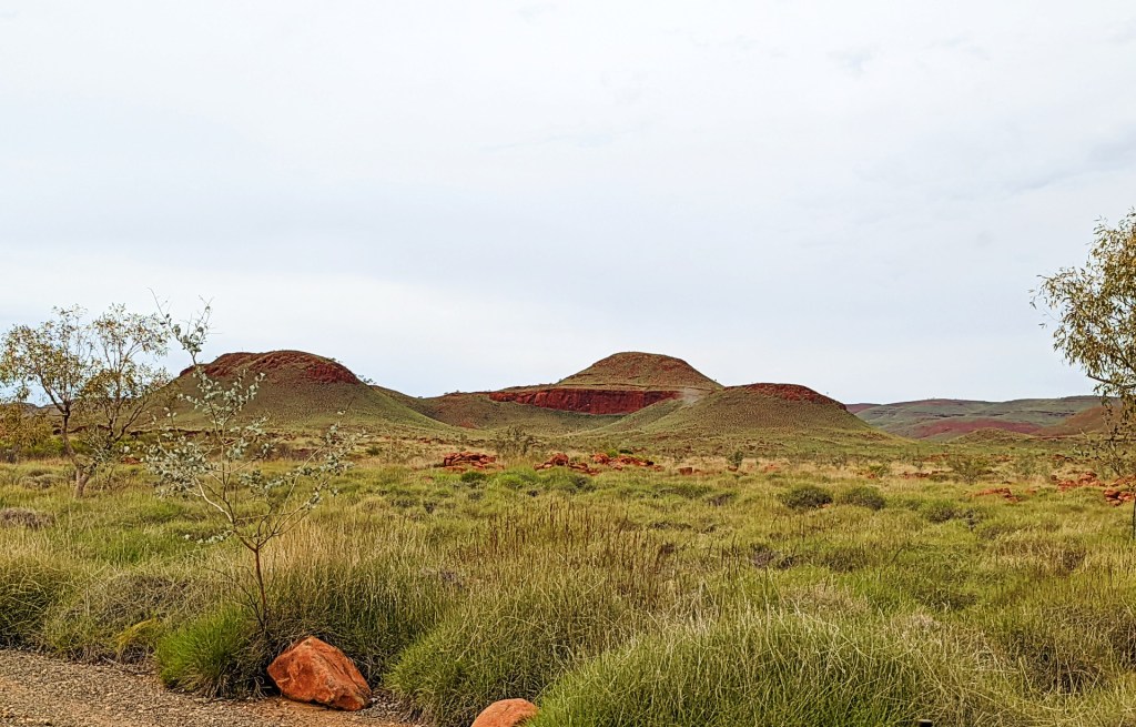
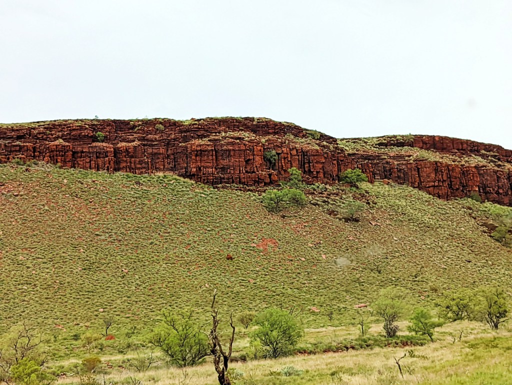
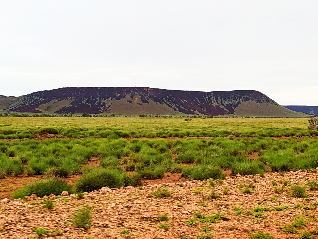
We drove out of Exmouth and into the Pilbara region, which is the mining capital of Australia, where Rio Tinto has its big iron ore mines.
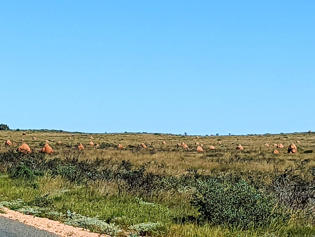
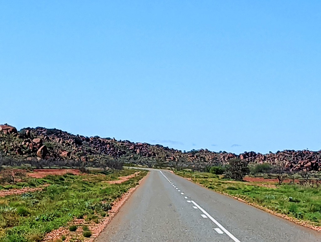
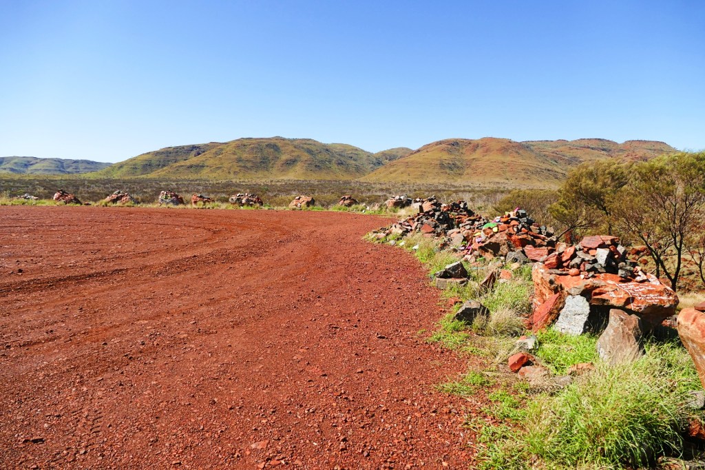
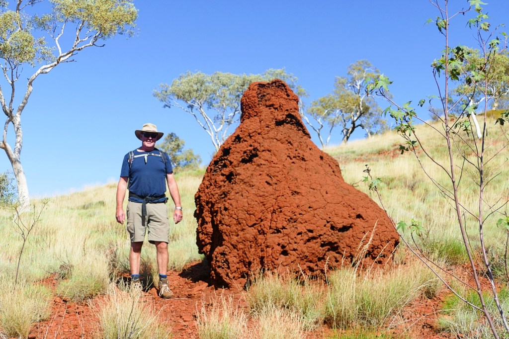
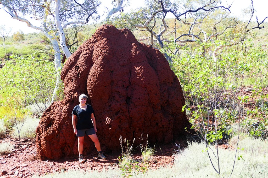
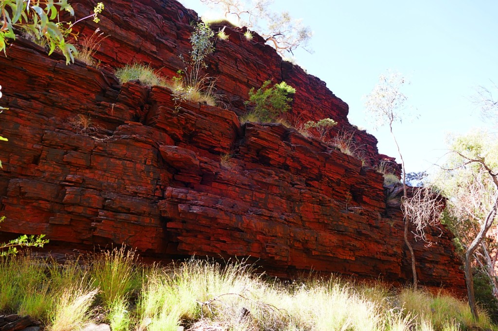
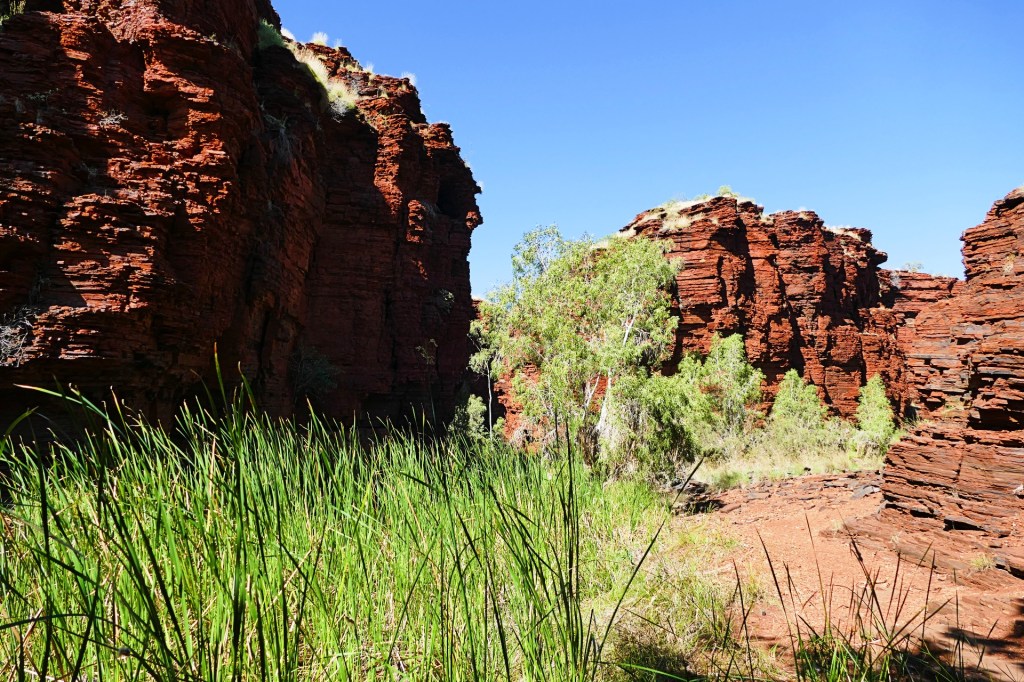
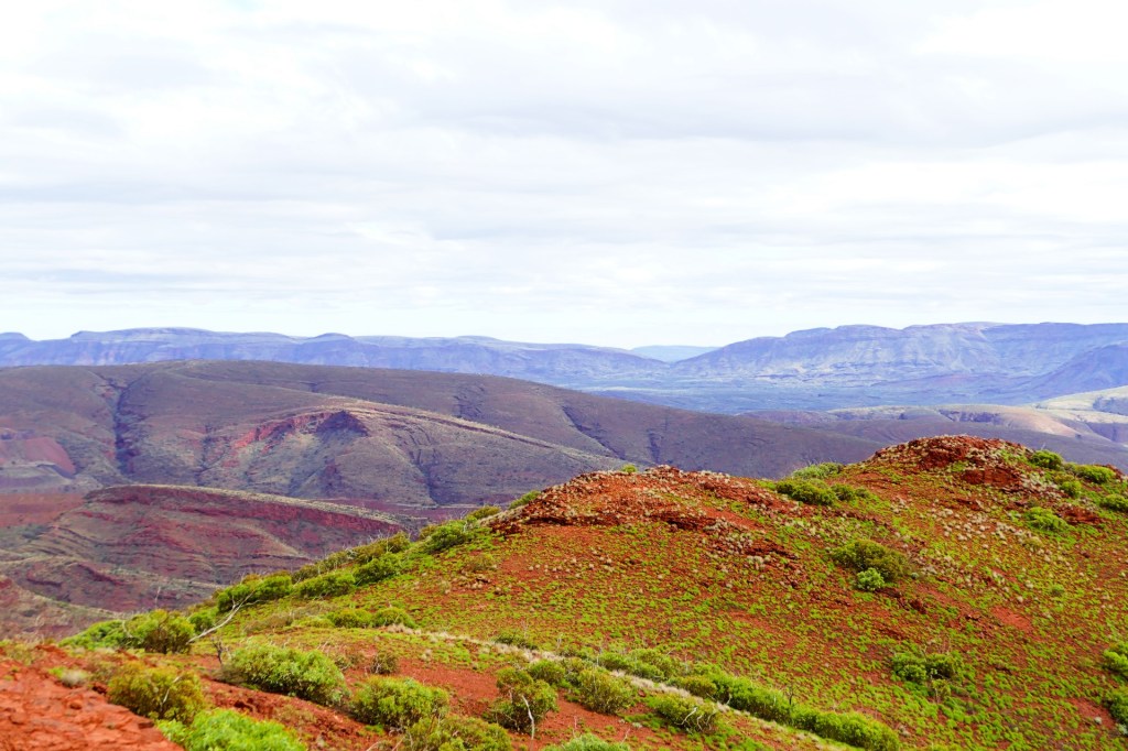
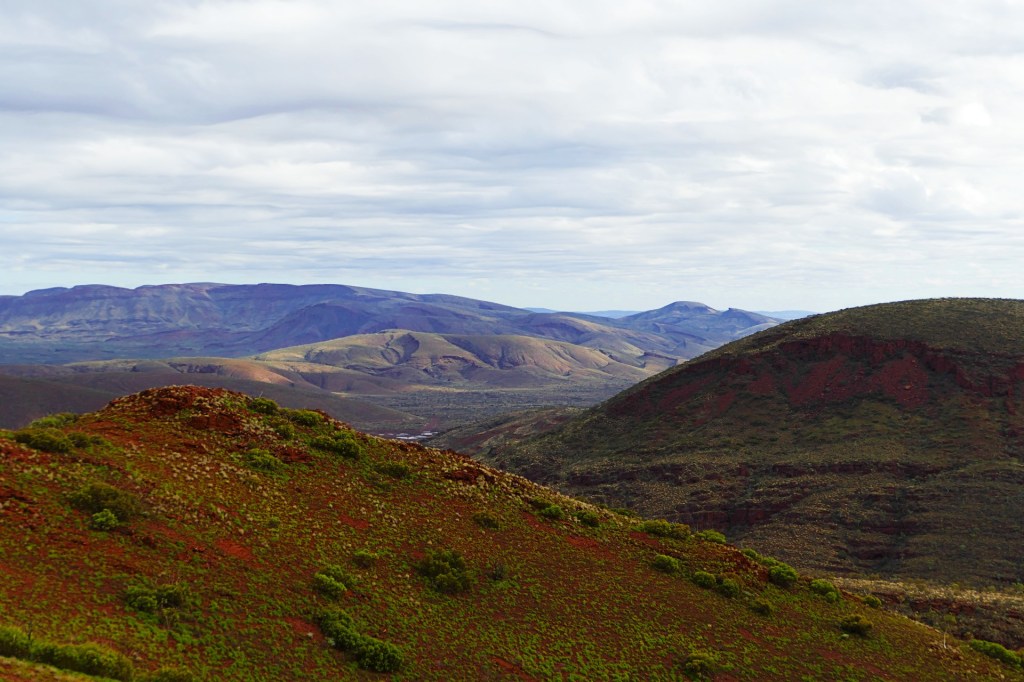
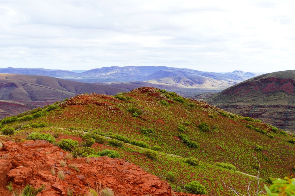
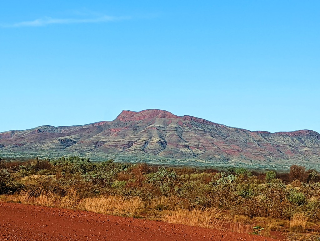
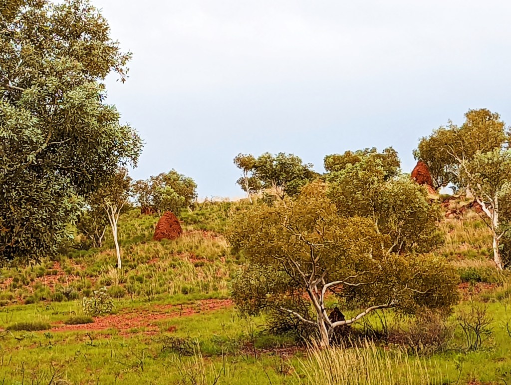
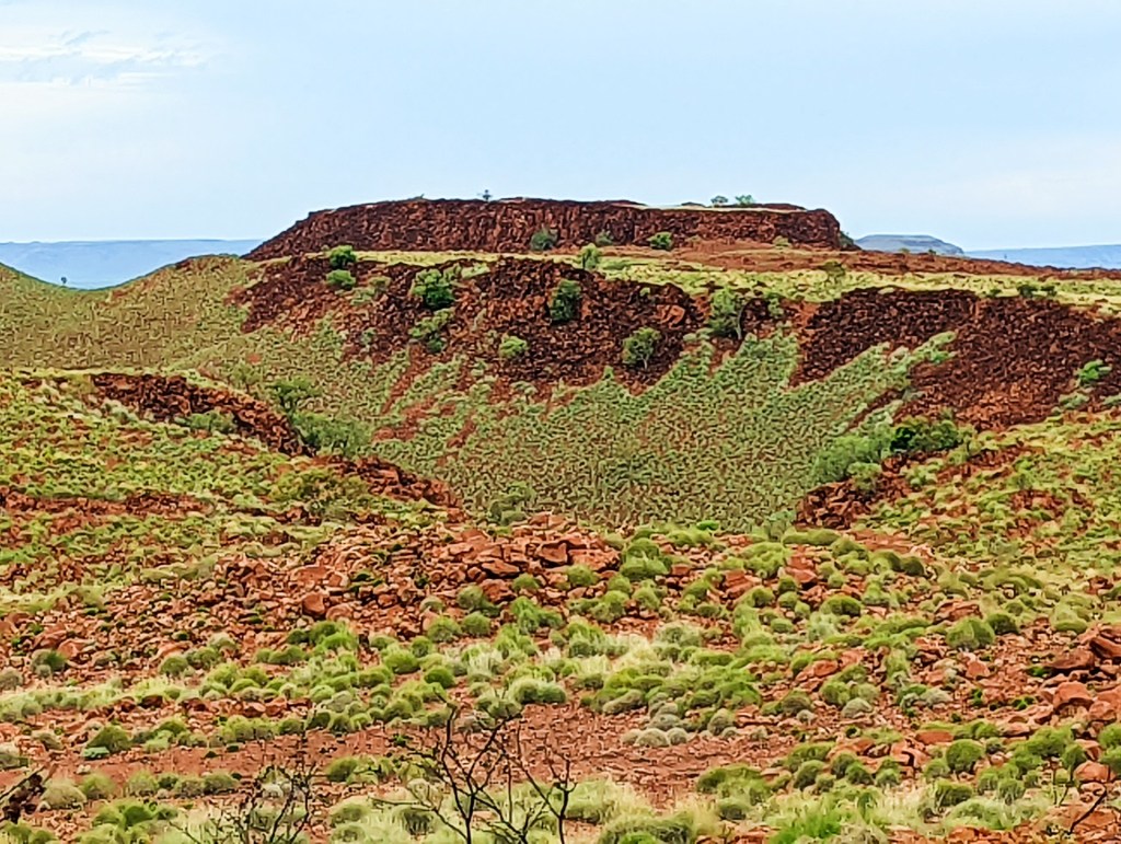
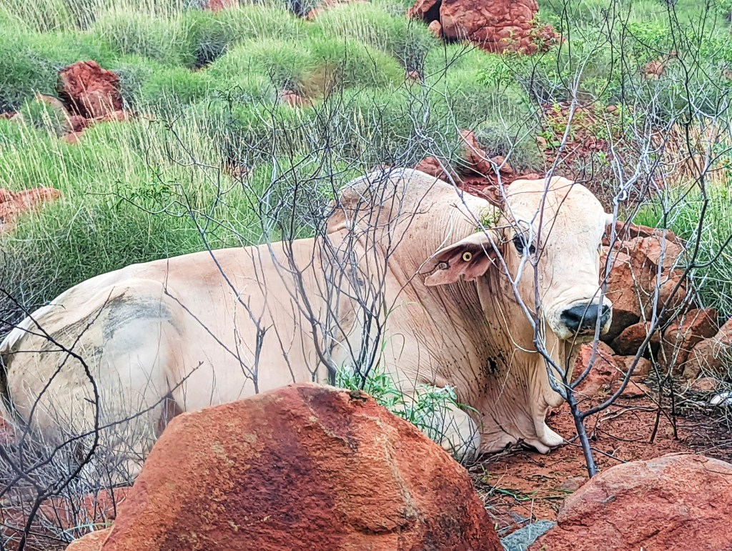
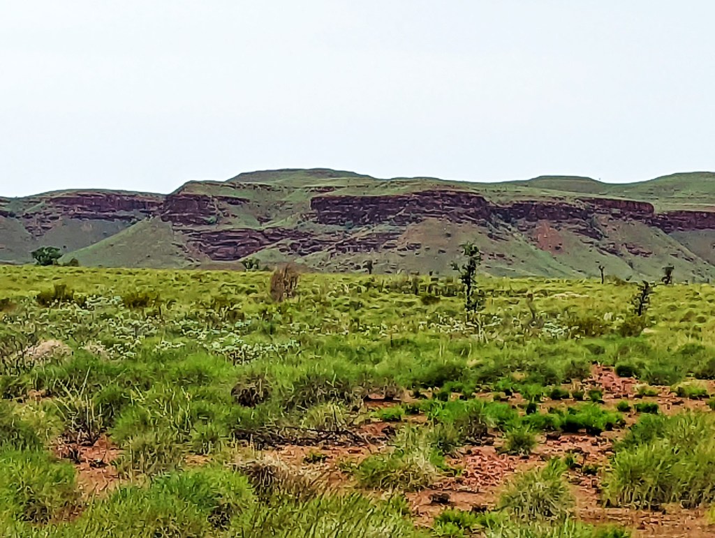
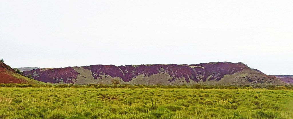
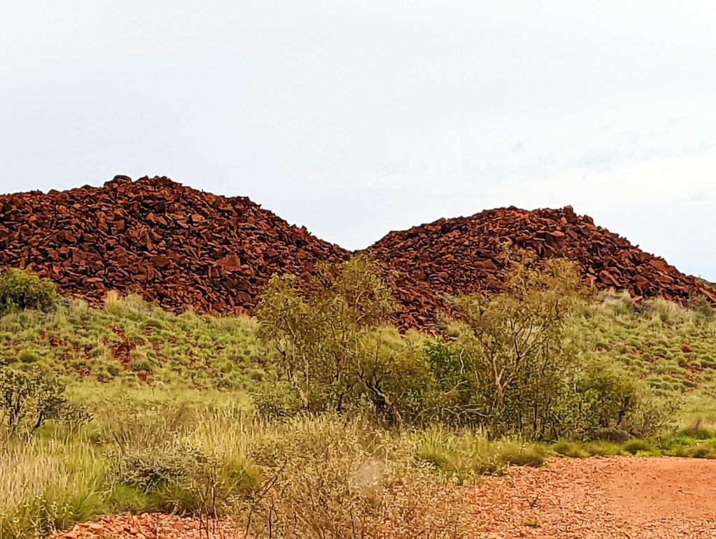
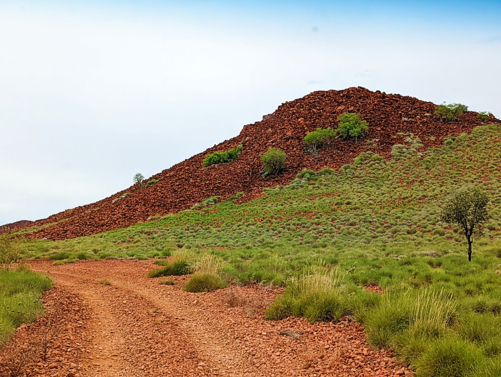
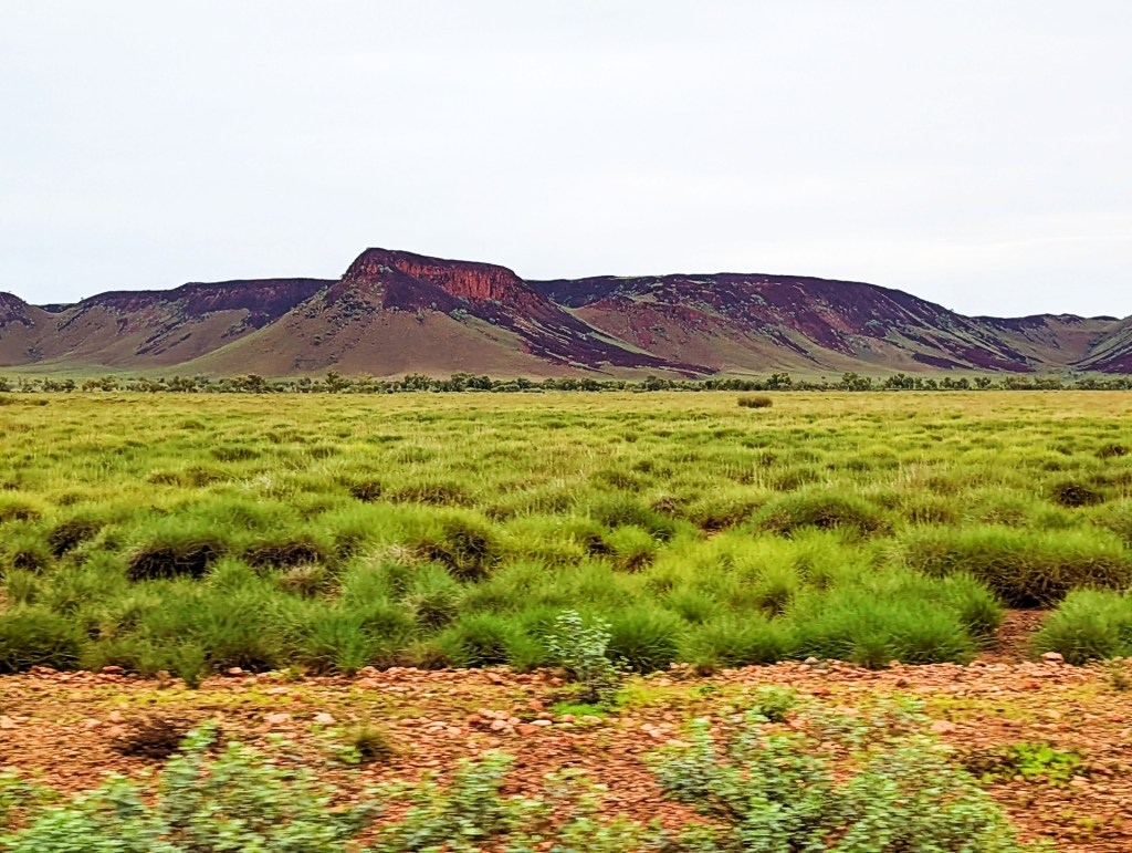
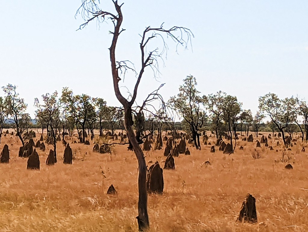
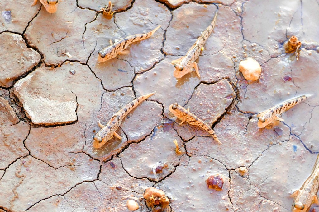
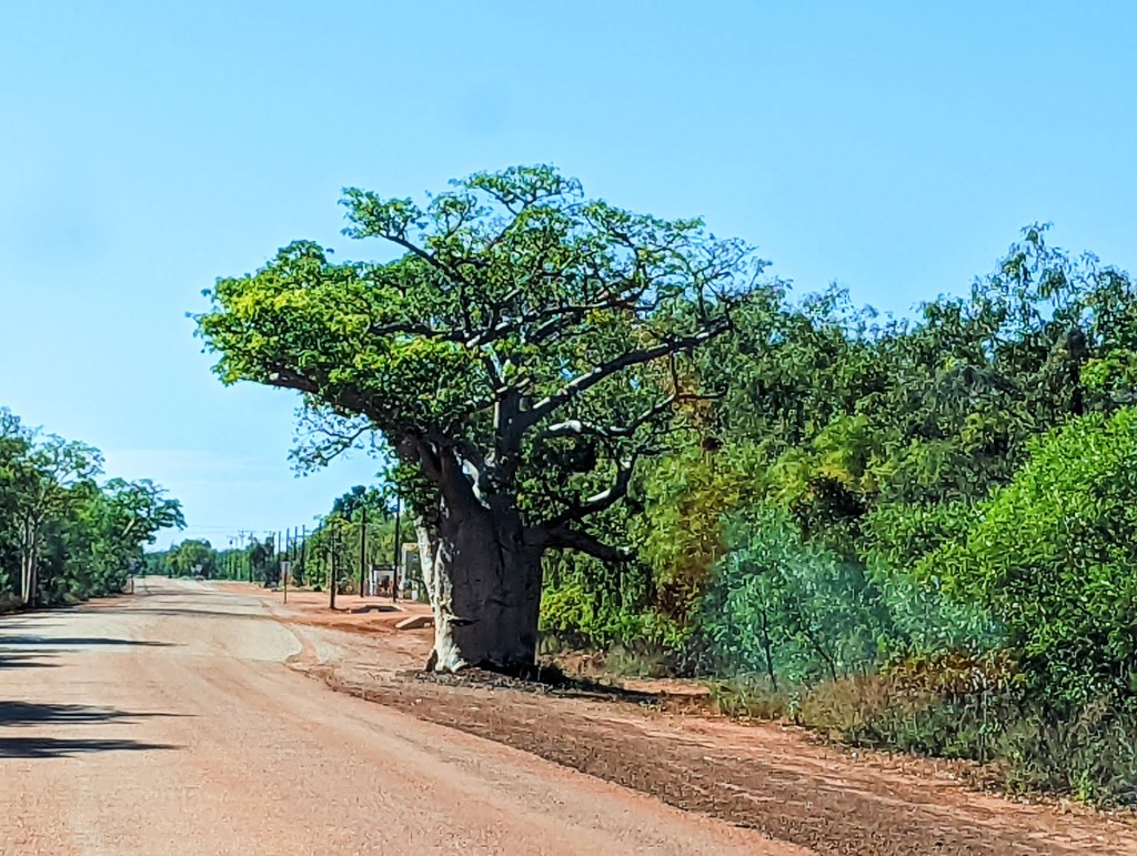
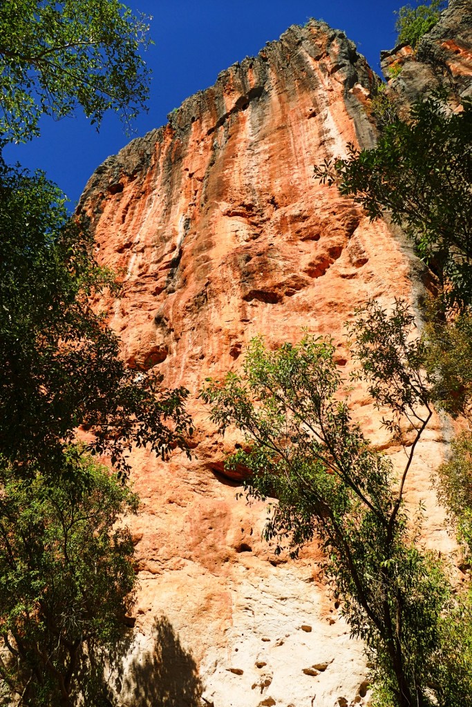
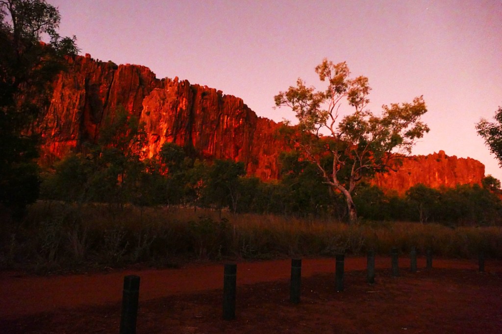
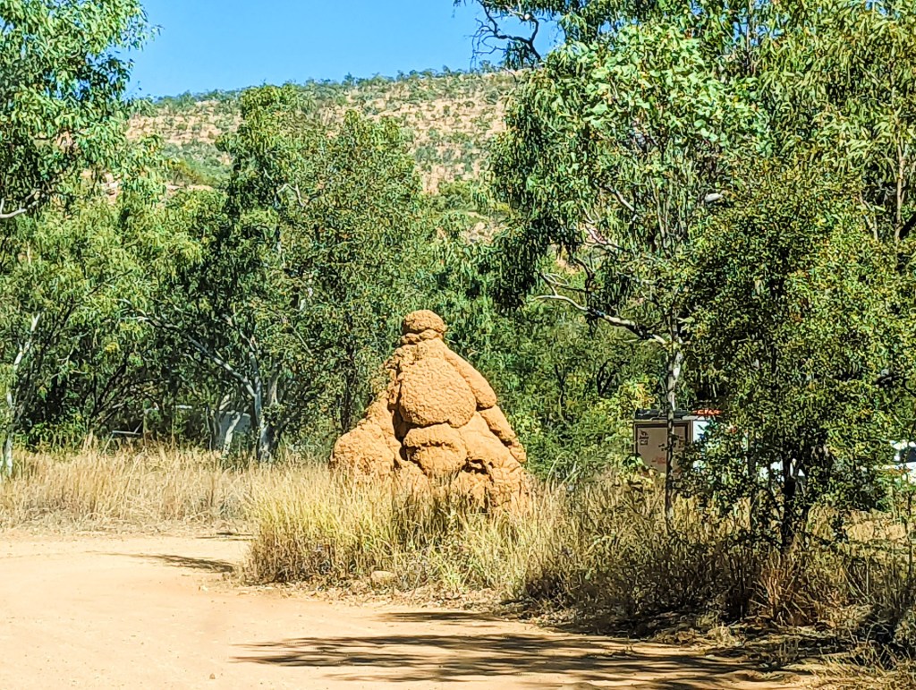
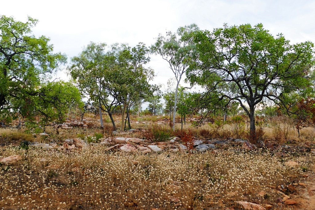
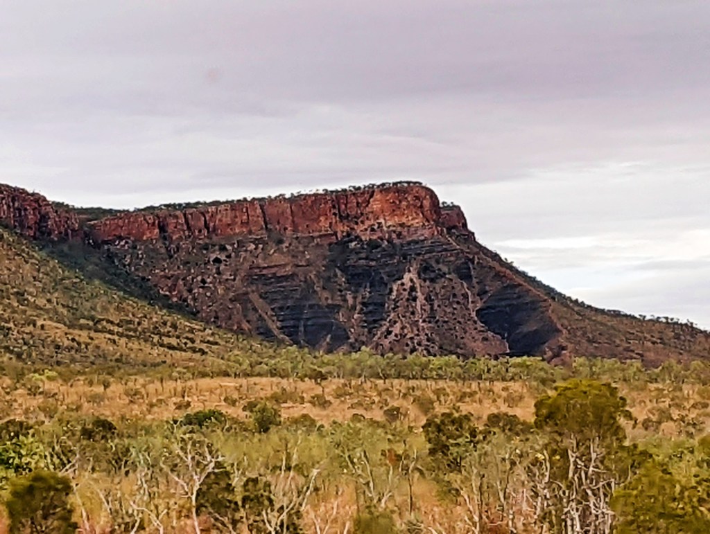
We continued to see the large yellow termite mounds until we reached the Pilbara, then the landscape changed dramatically as we approached, from flat and sandy to rocky and red, the termite mounds were also red.
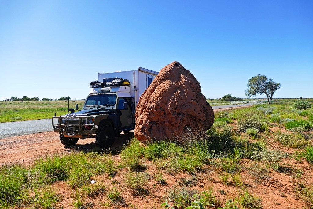
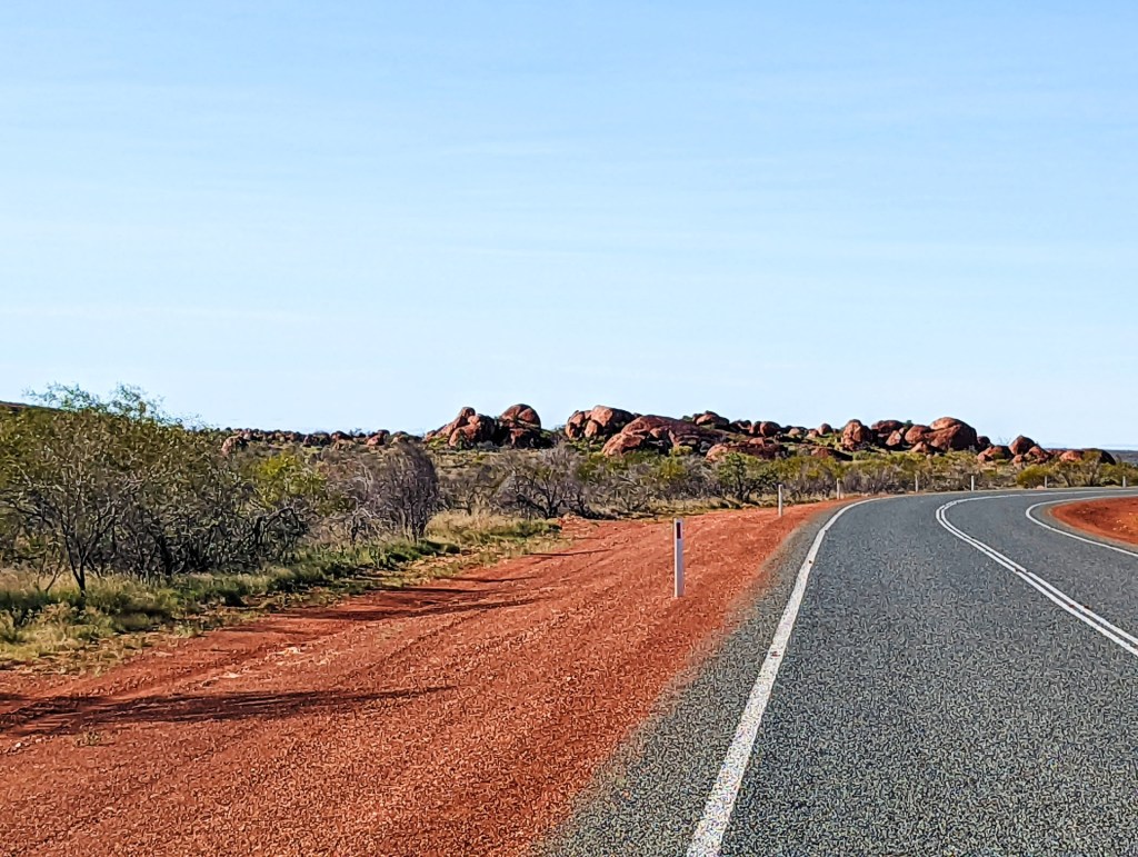

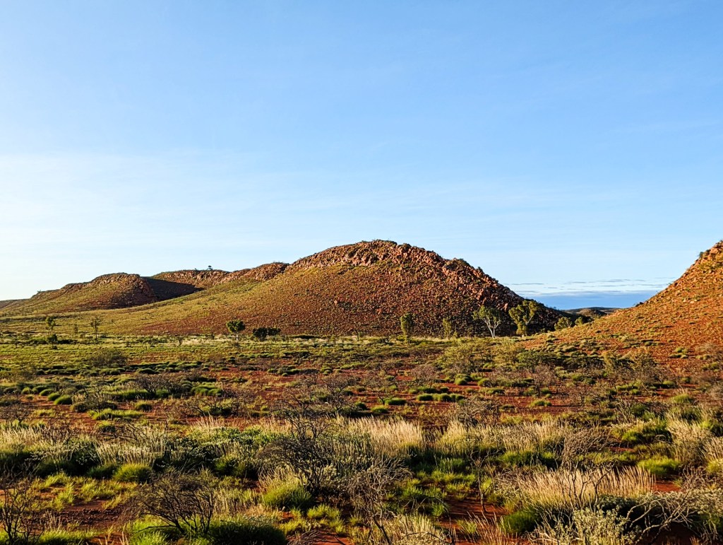
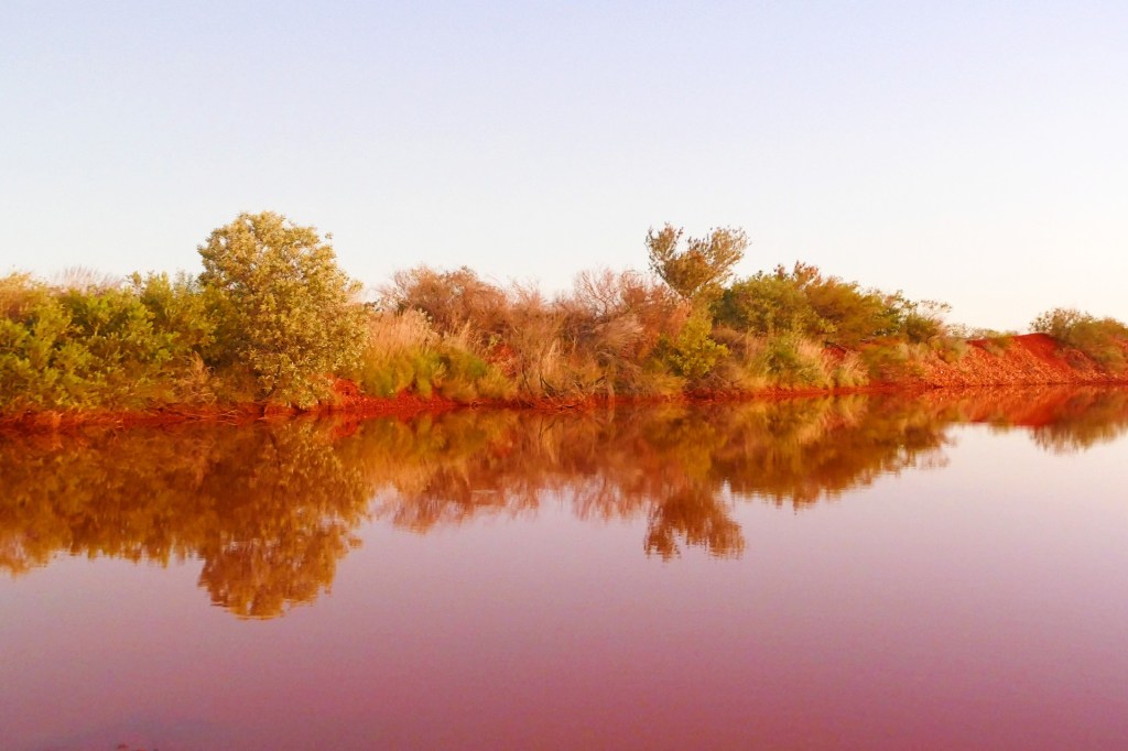
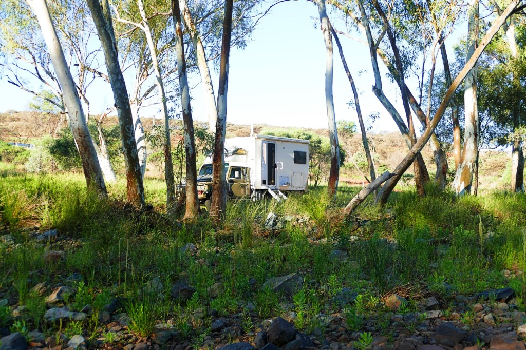
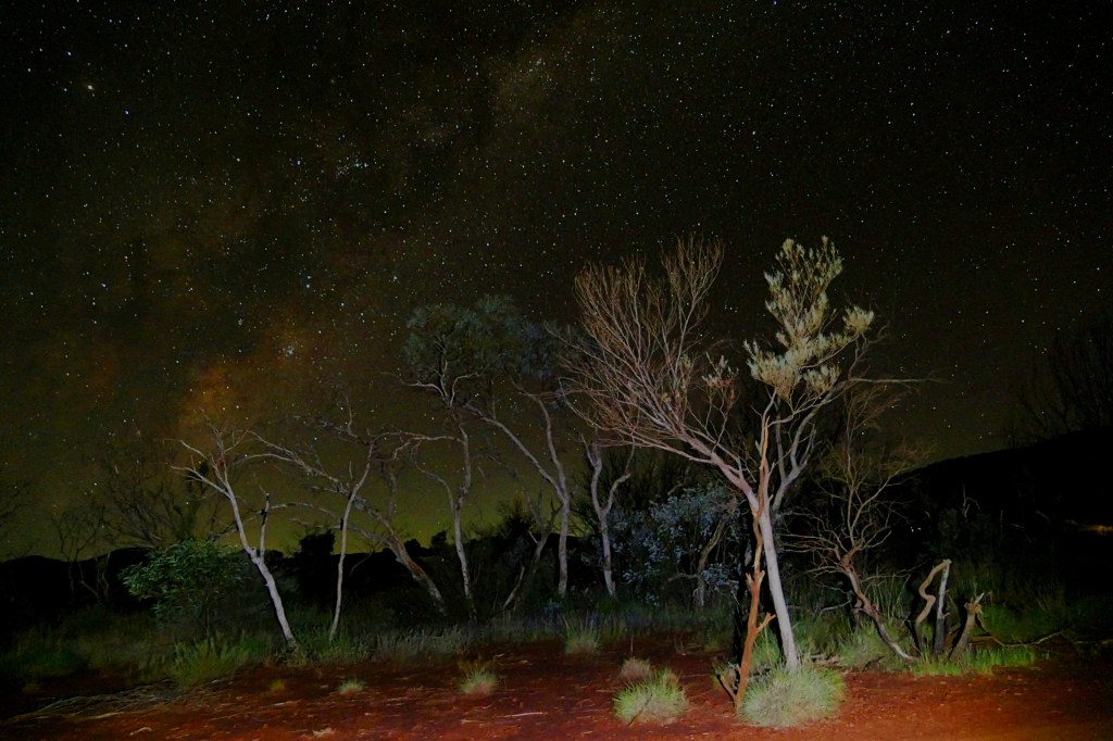
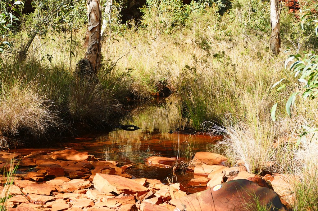
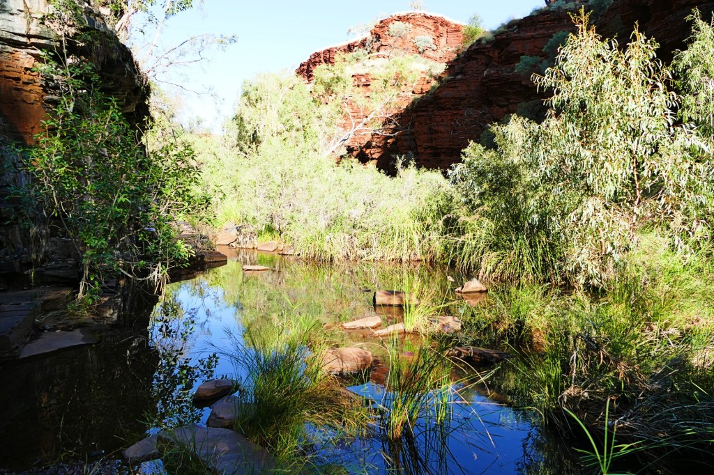
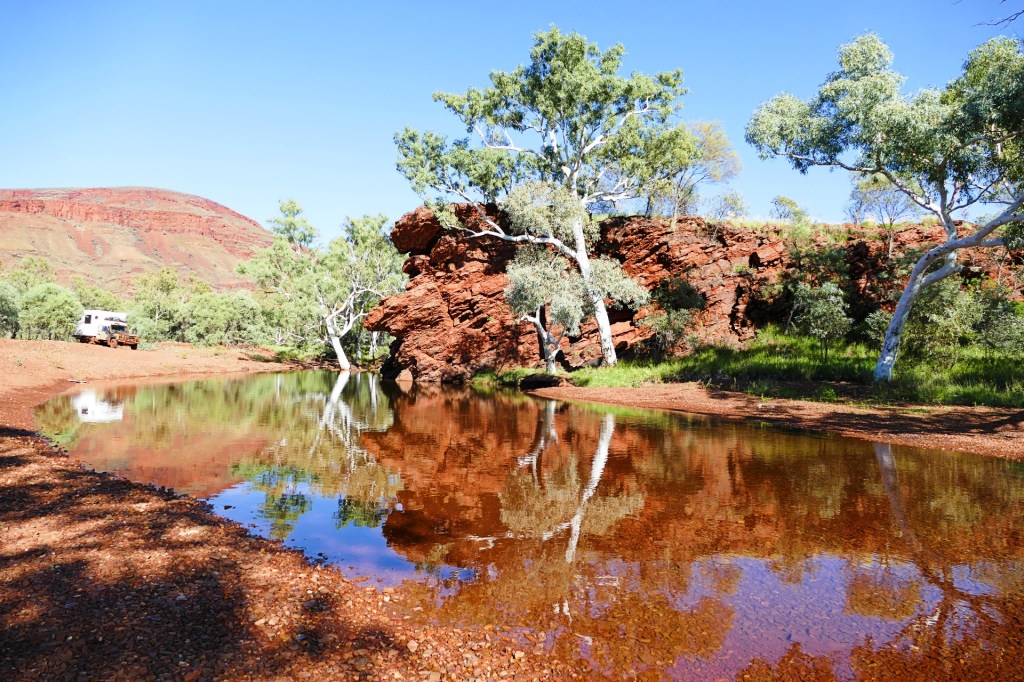
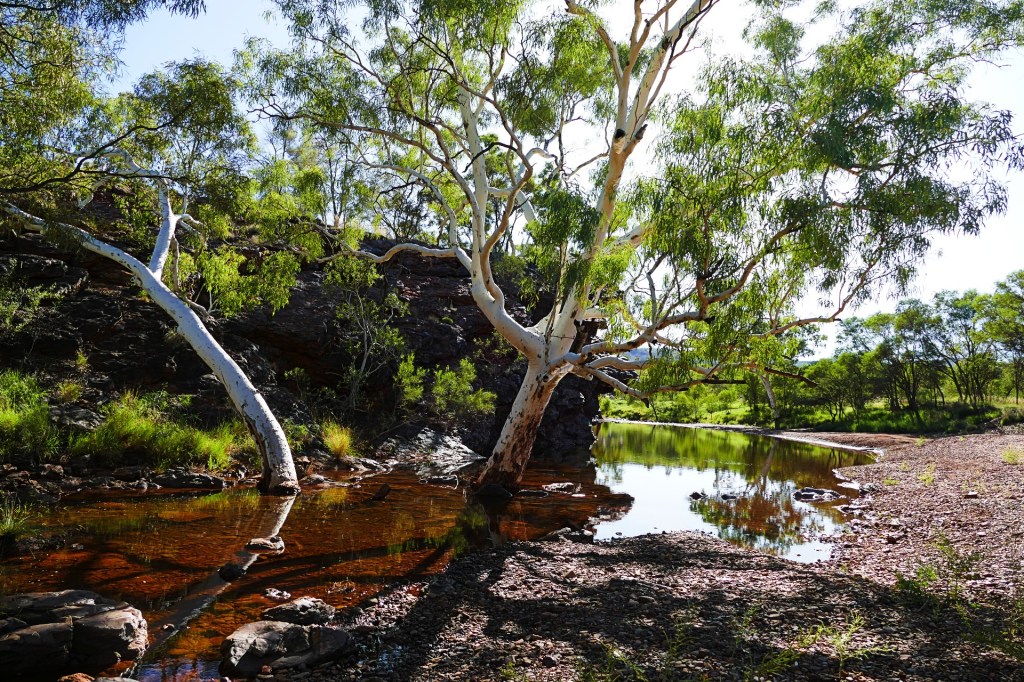
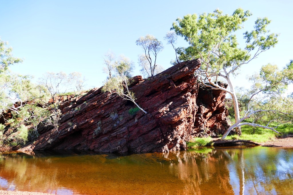
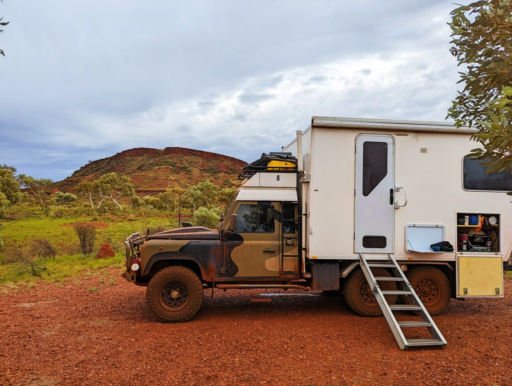
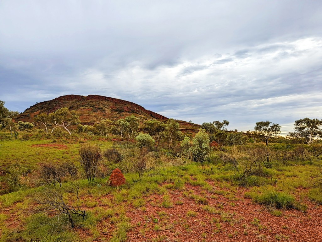
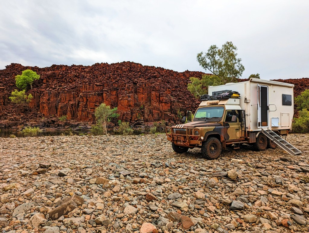
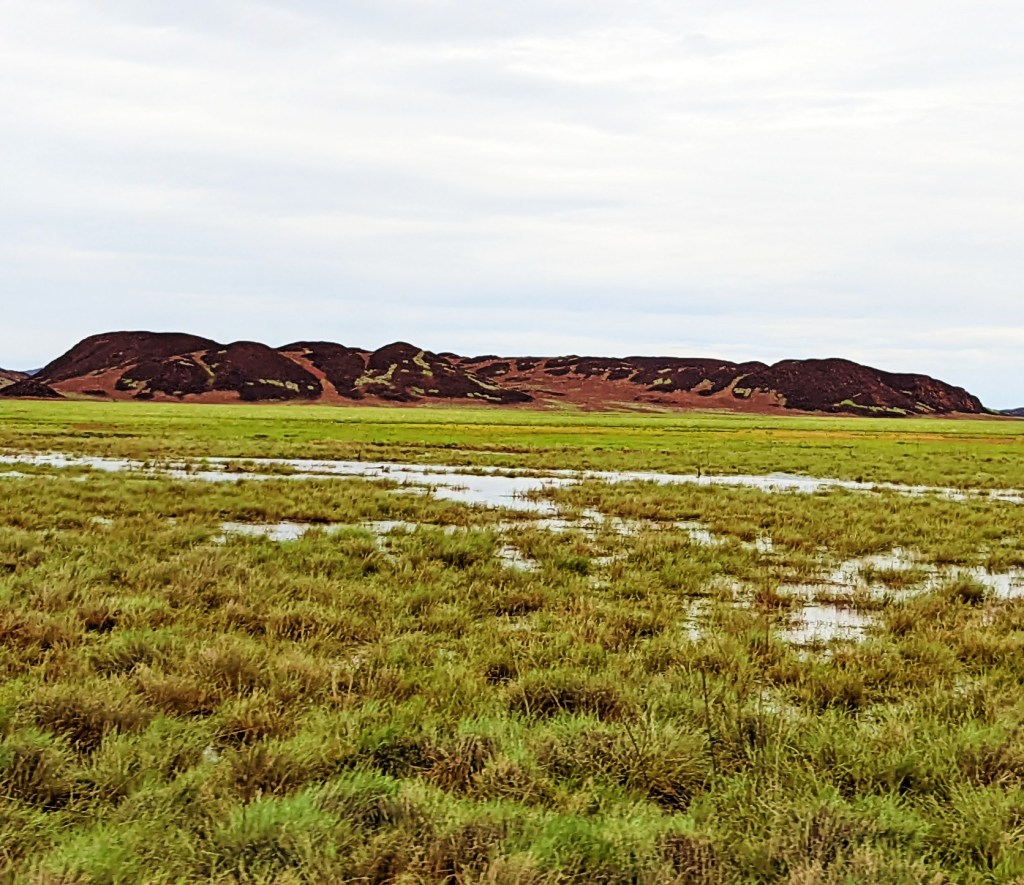
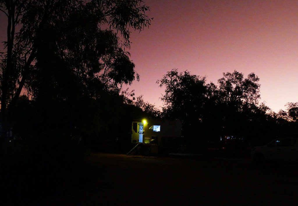
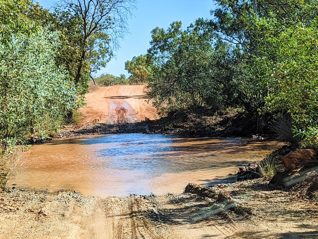
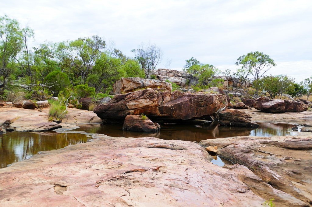
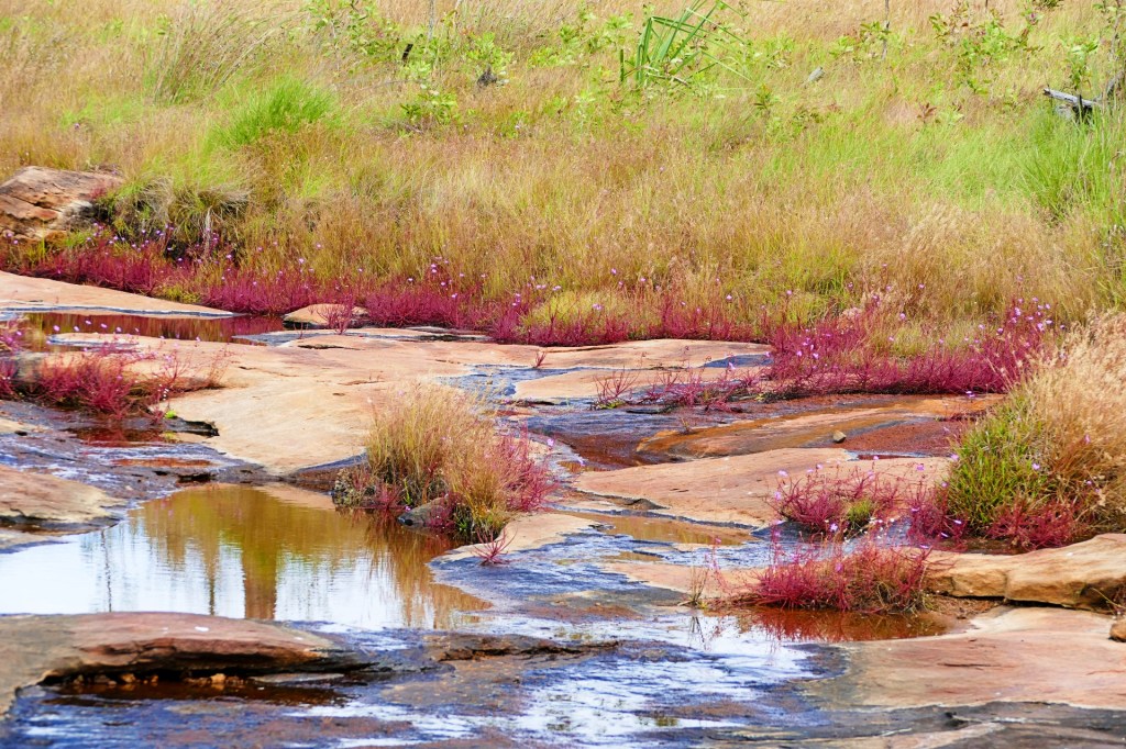
We free-camped at a little camp site just off the road in the Pilbara region, called the gravel pit. It was quite pretty with a little watering hole, having said this, I don’t think the watering hole was supposed to be there, it was just a leftover from all the recent rain, but still pretty.
Day 117, Thursday the 2nd of June, 2022
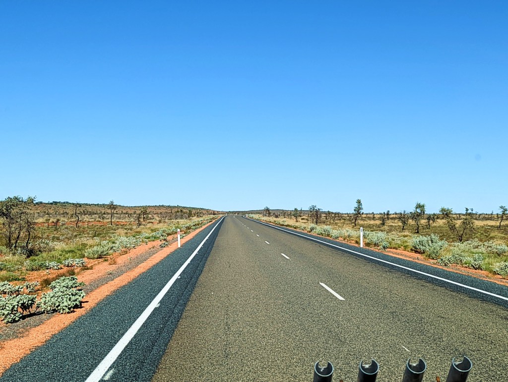
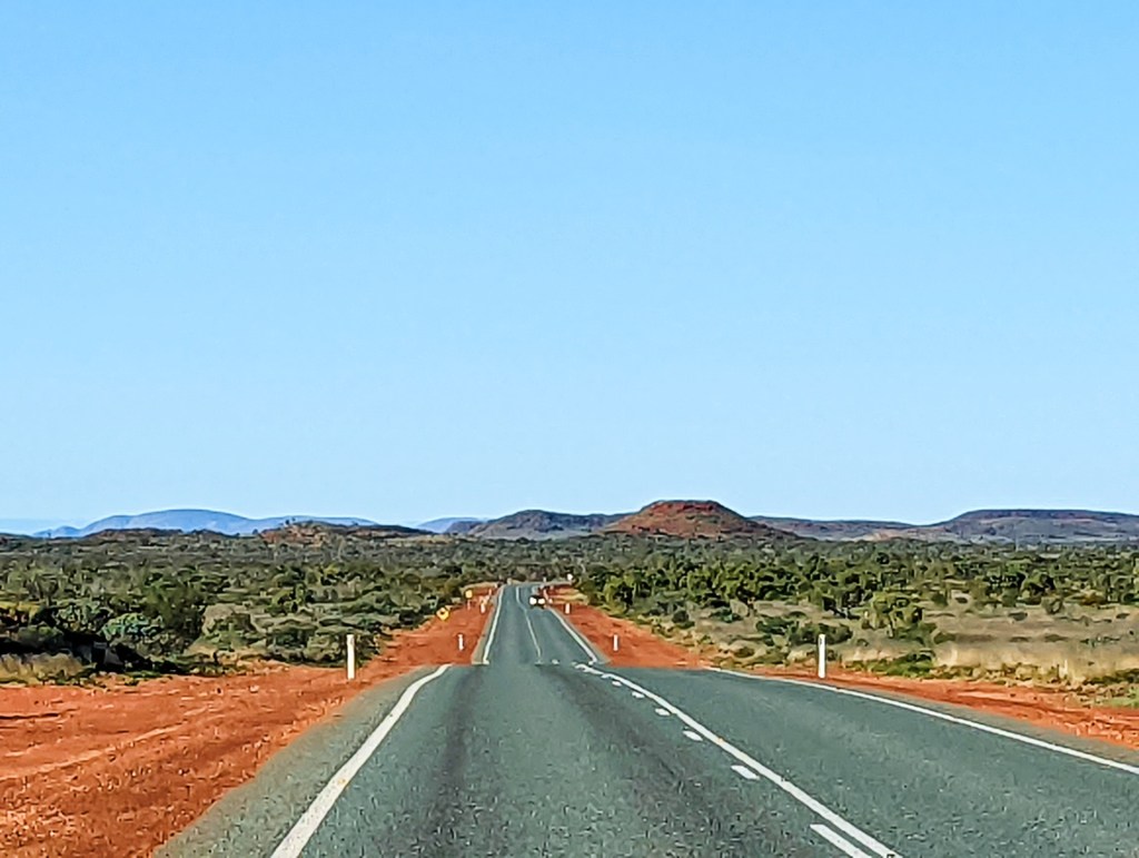
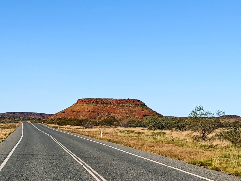
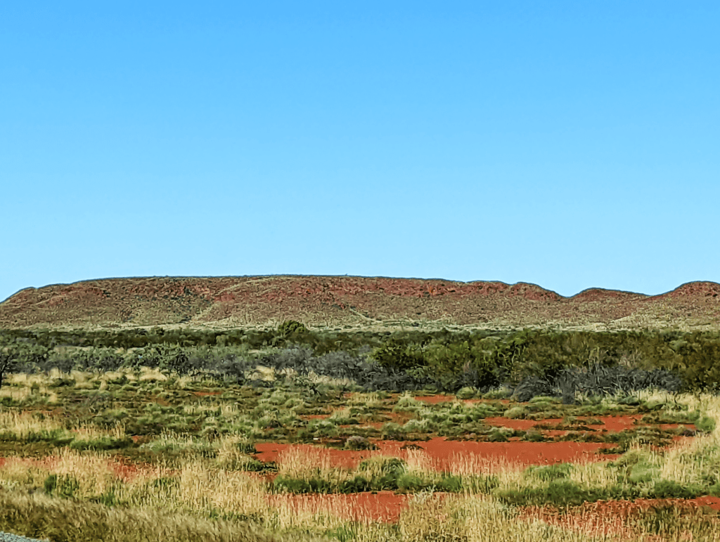
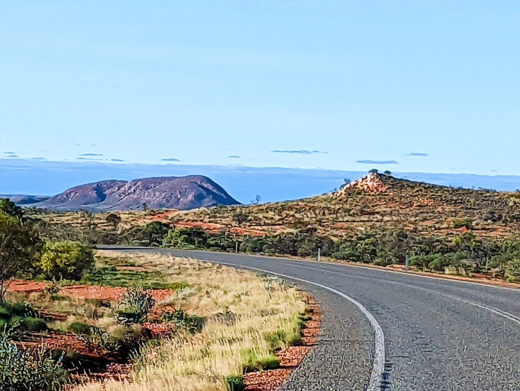
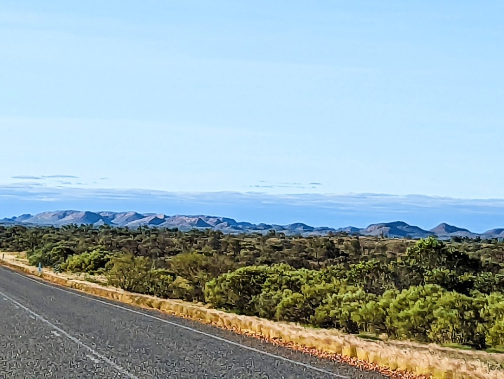
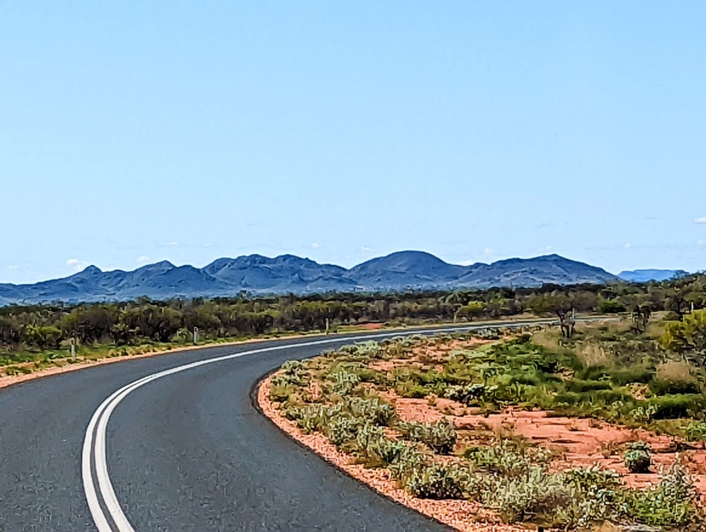
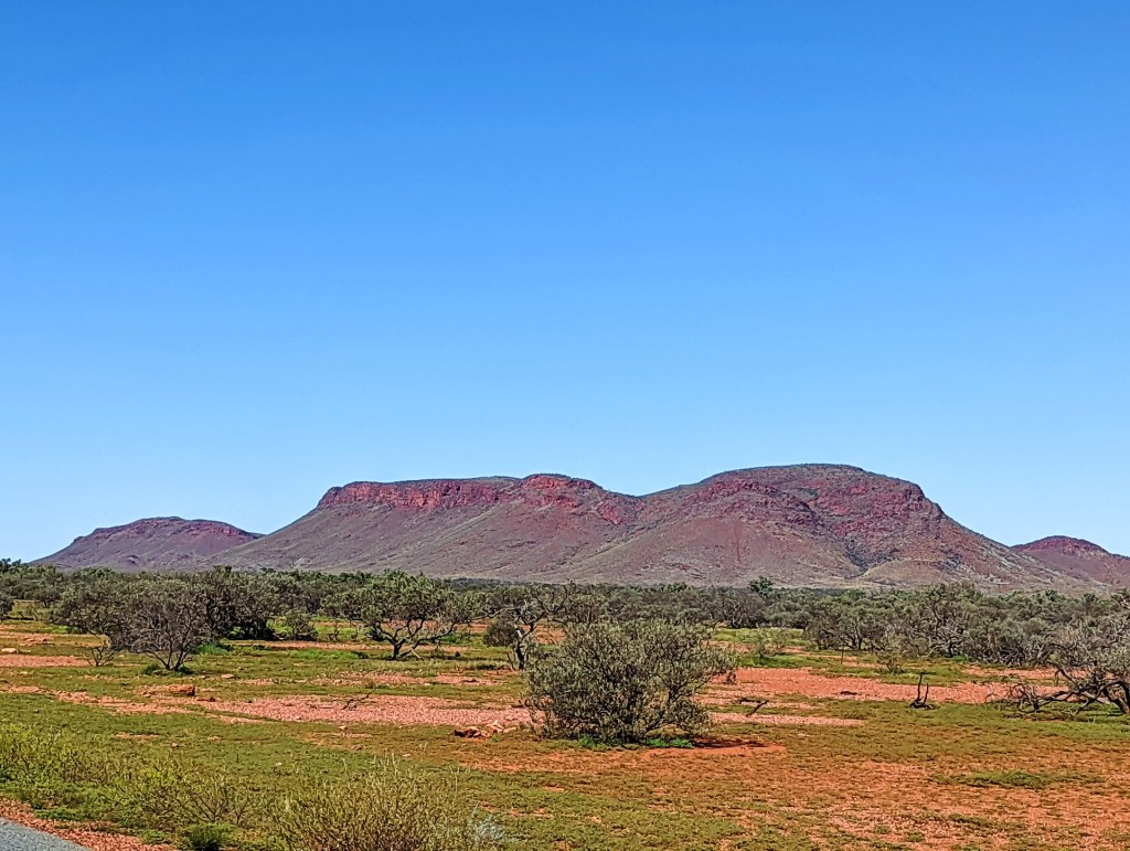
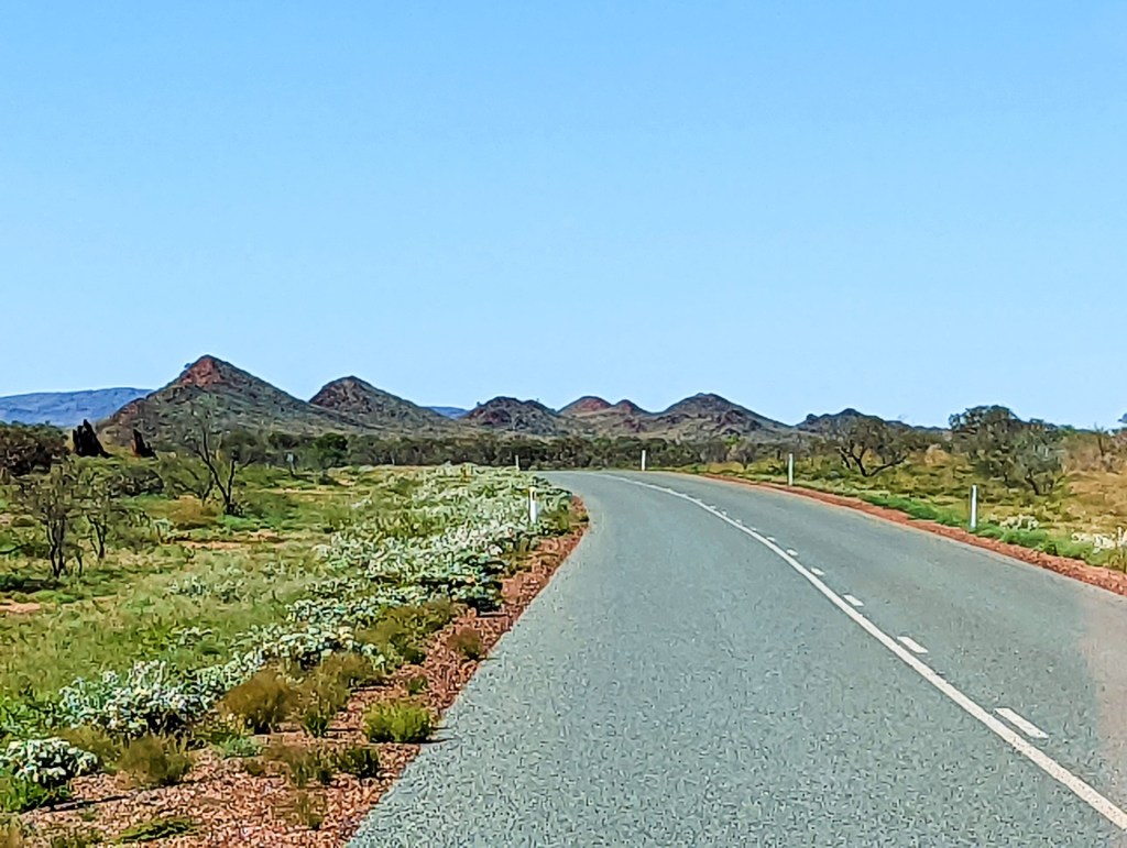
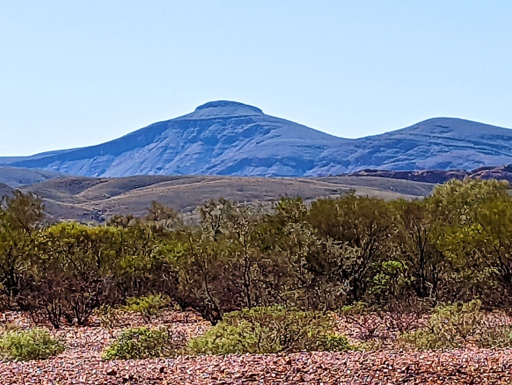
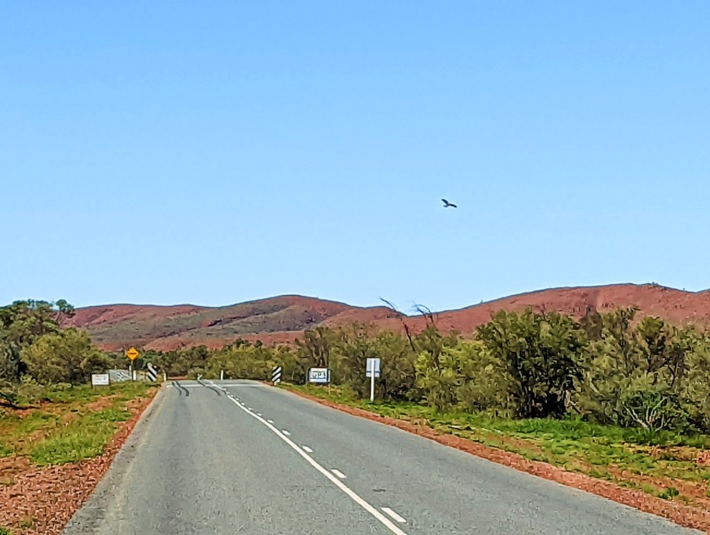
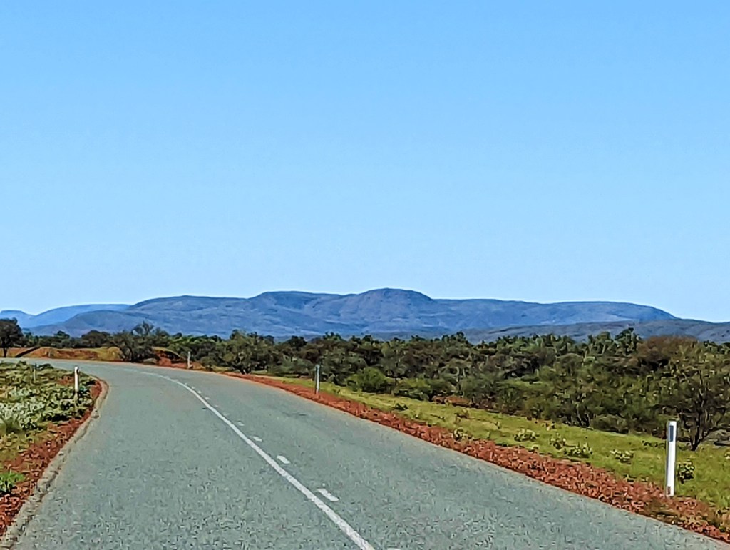
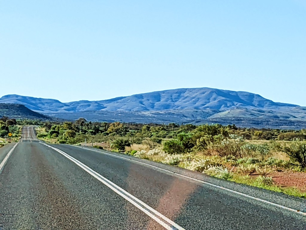
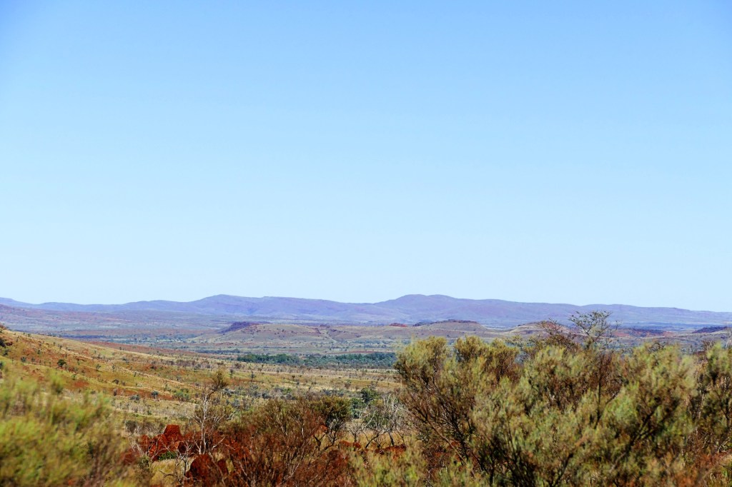
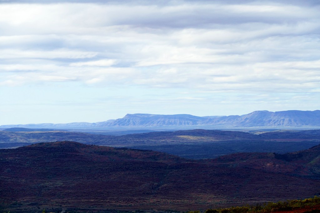
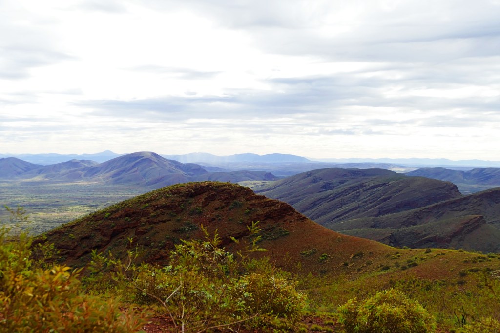
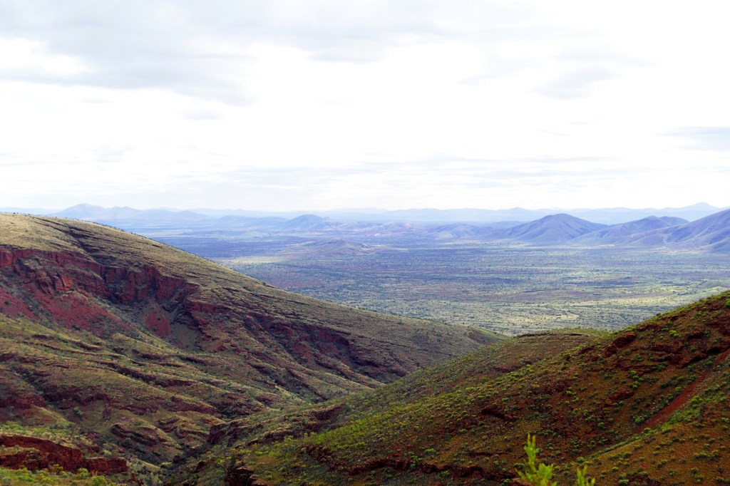
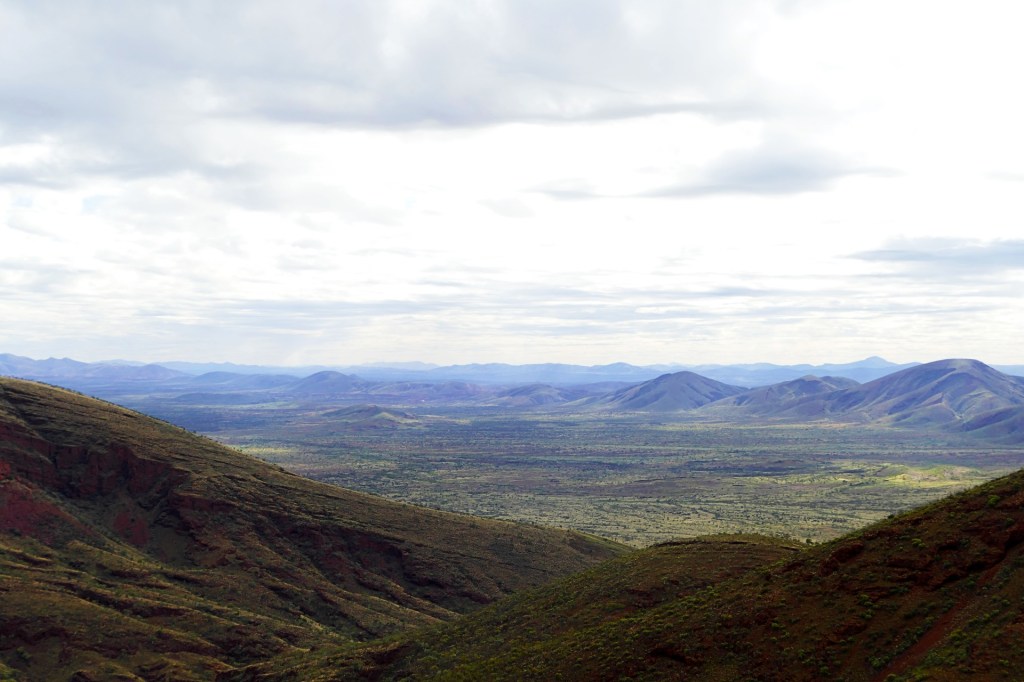
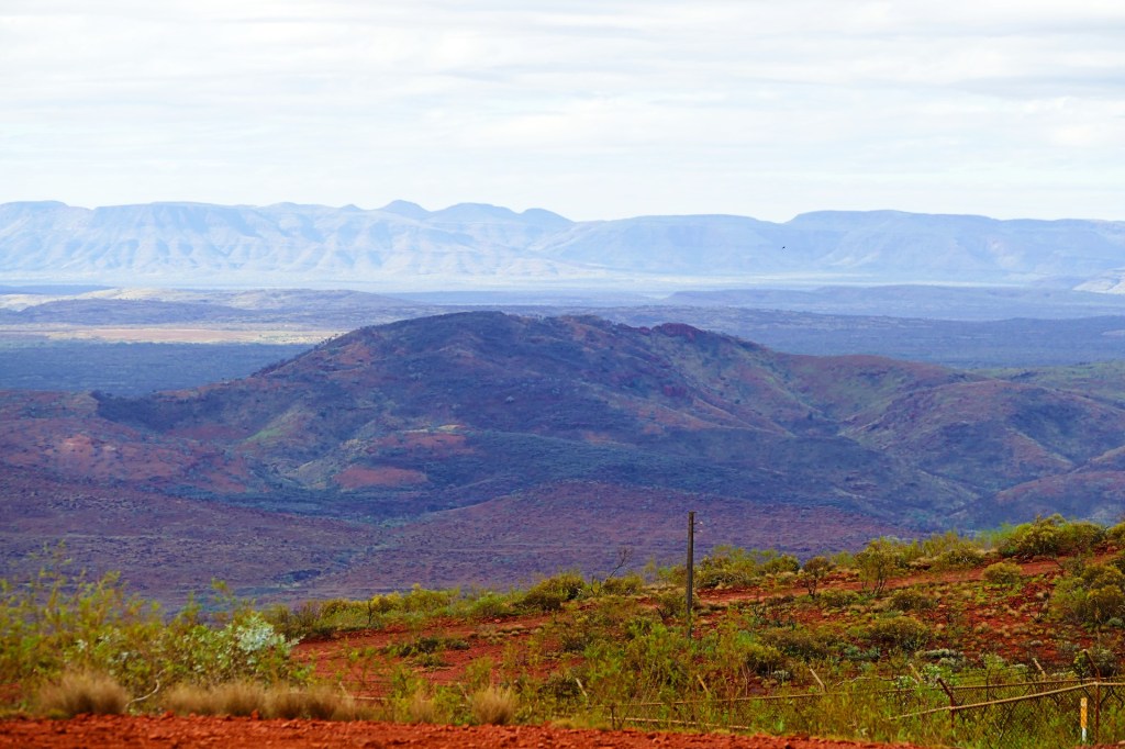
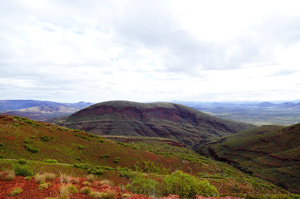
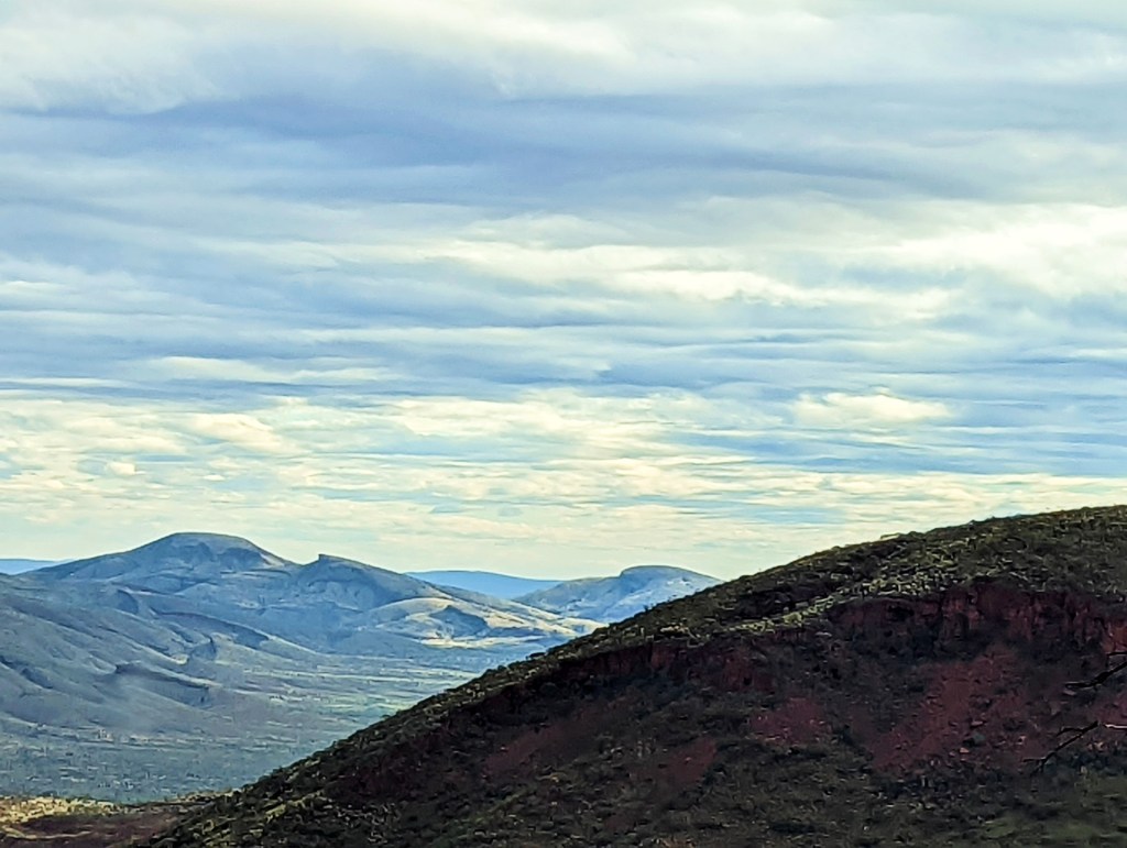
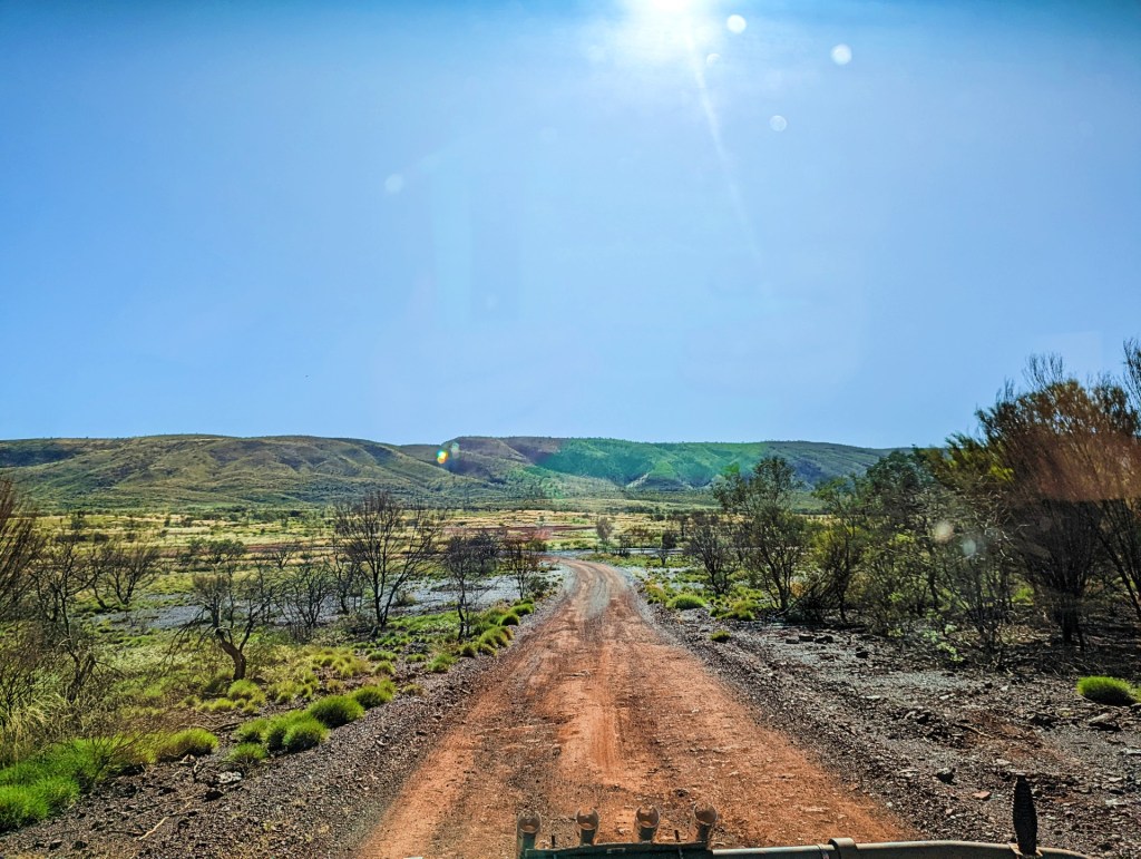
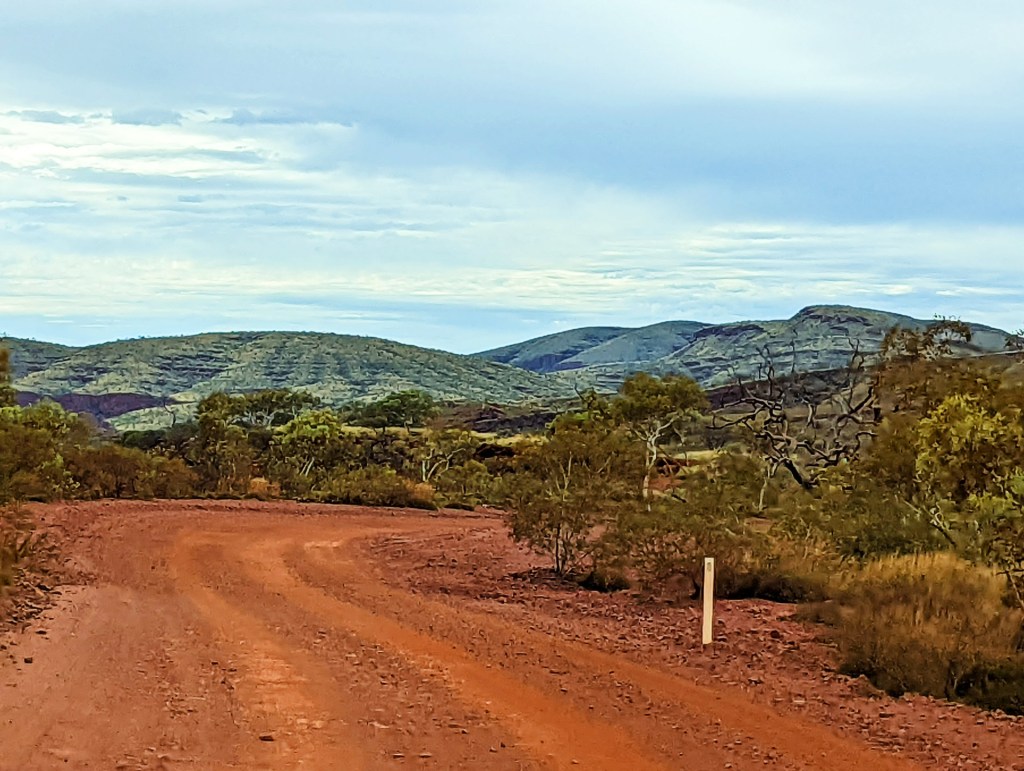
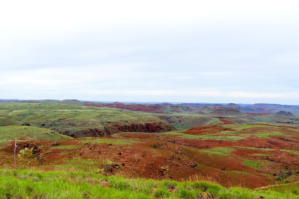
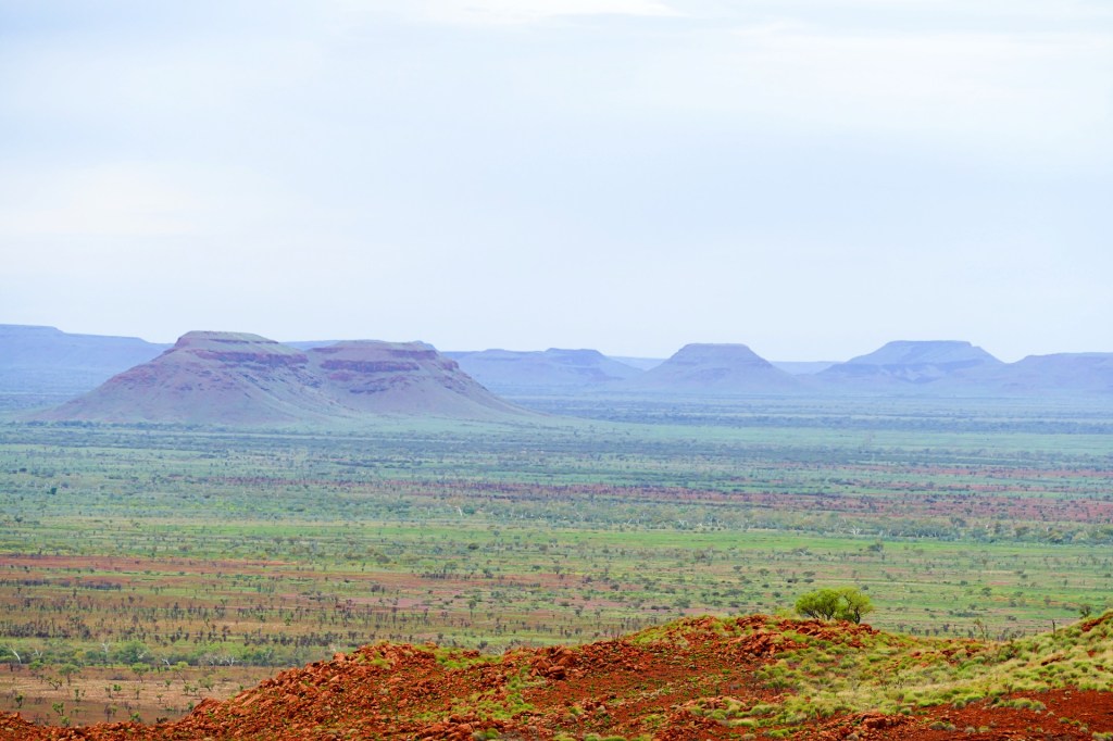
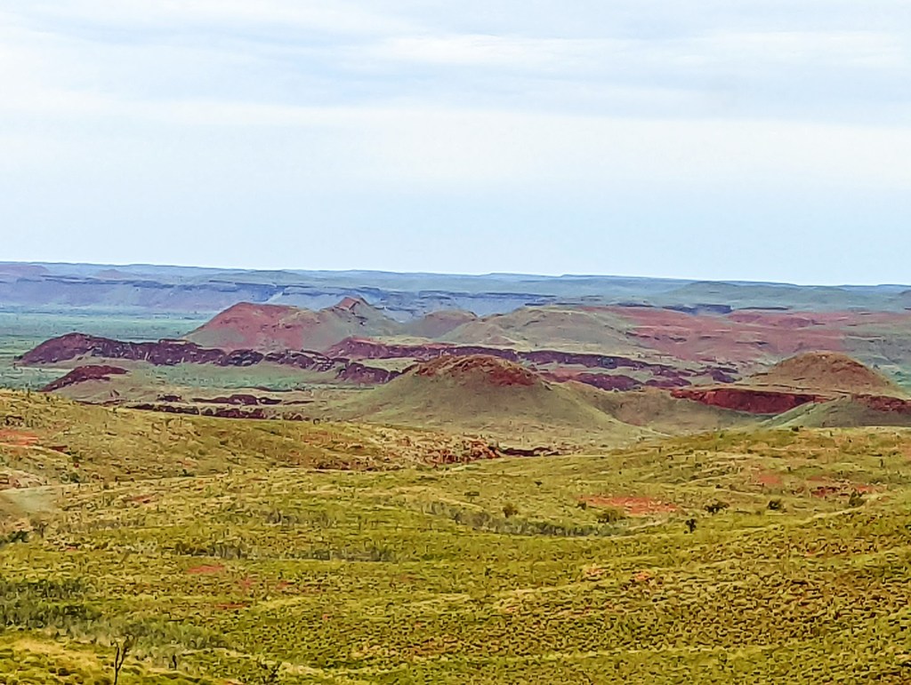
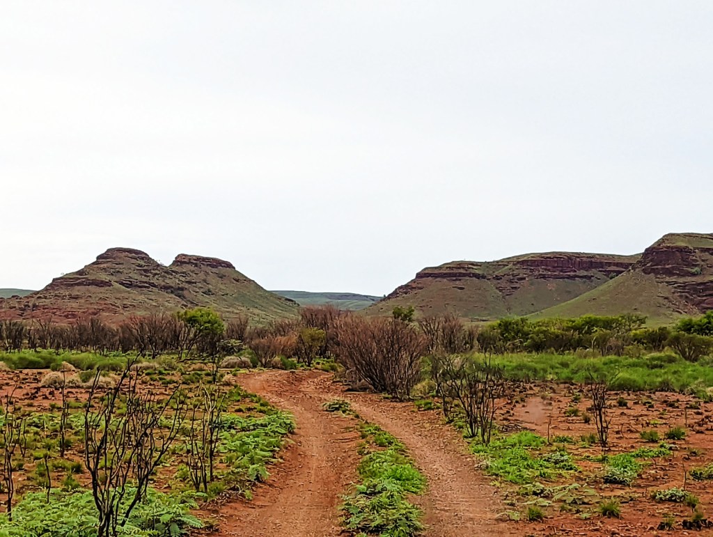
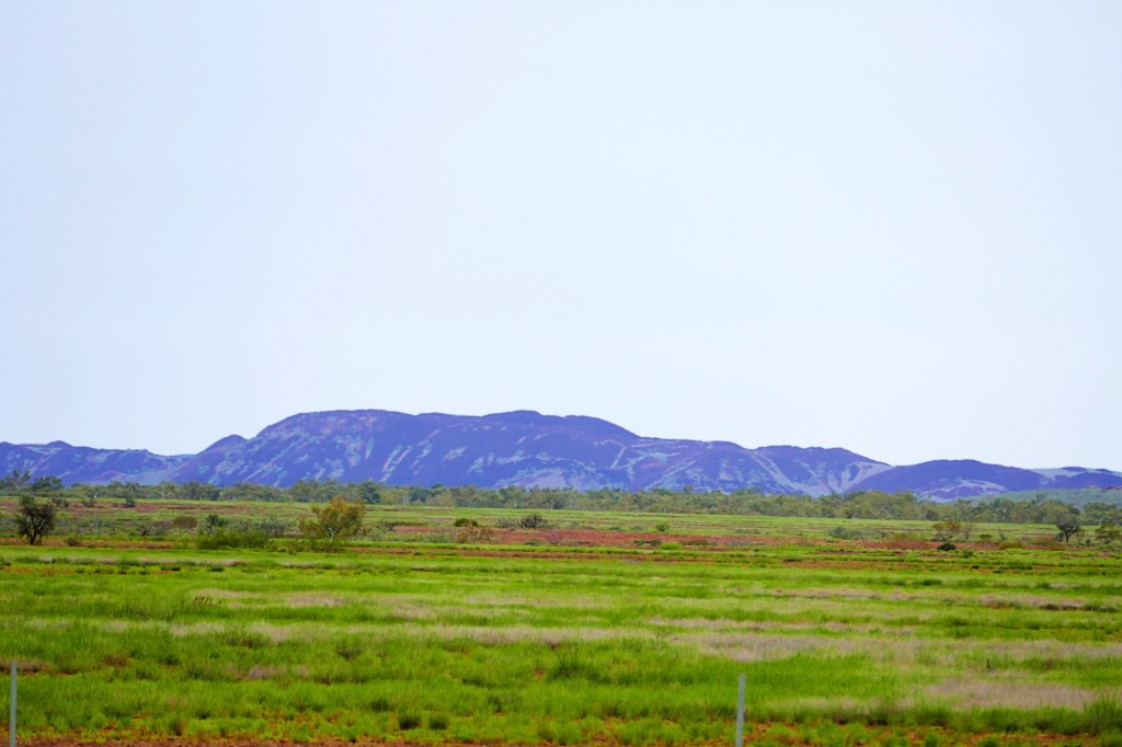
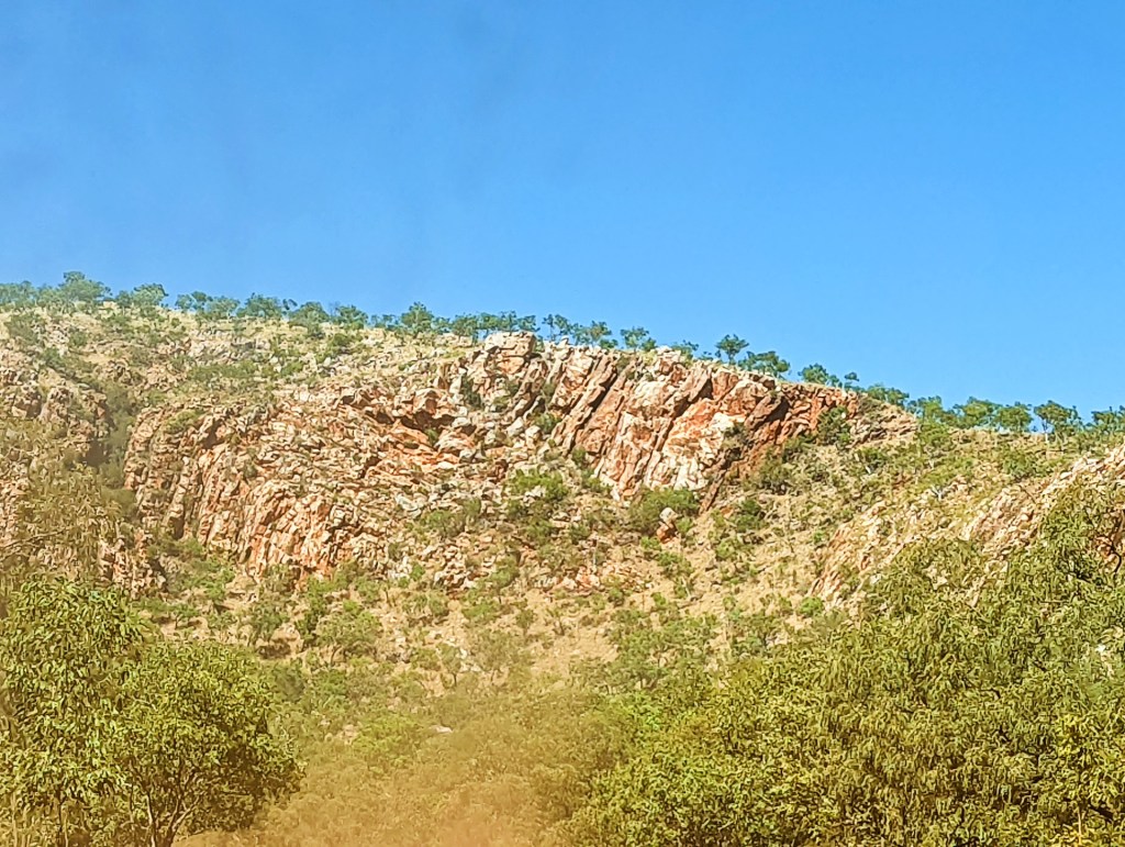
A lovely clear blue sky day, we continued our travels and continued to enjoy the never ending ranges and mountains along the way.
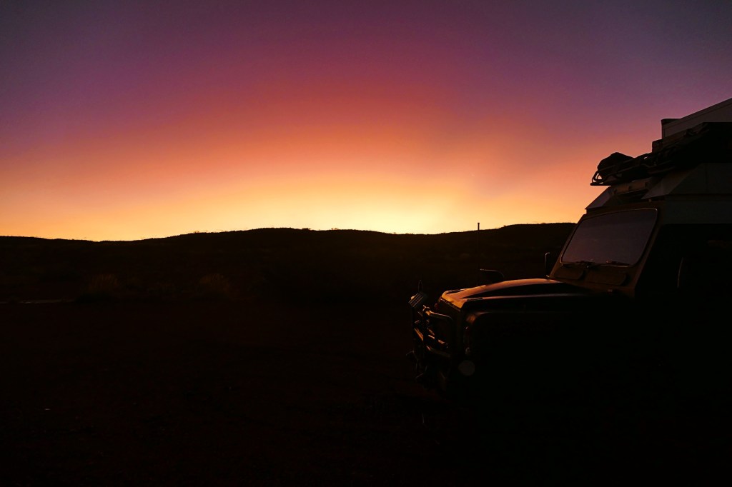
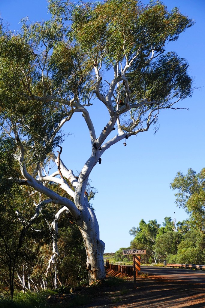
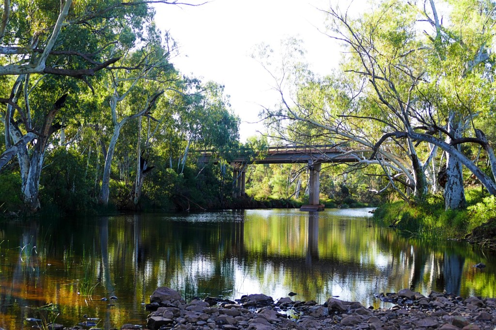
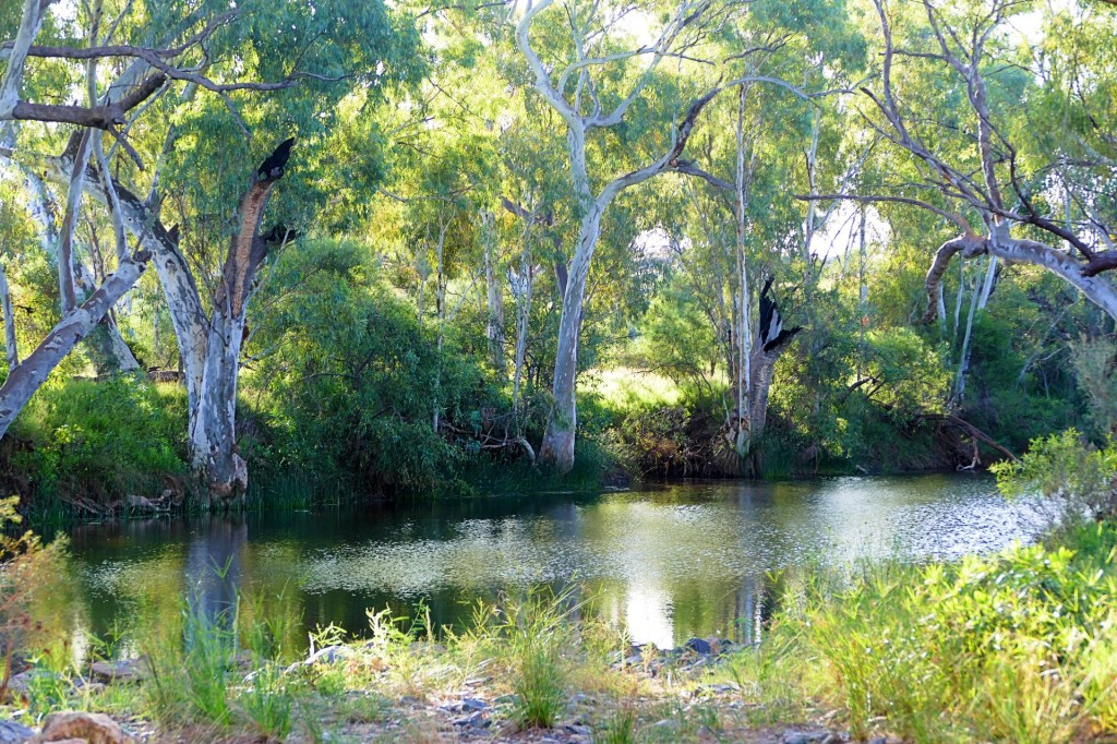
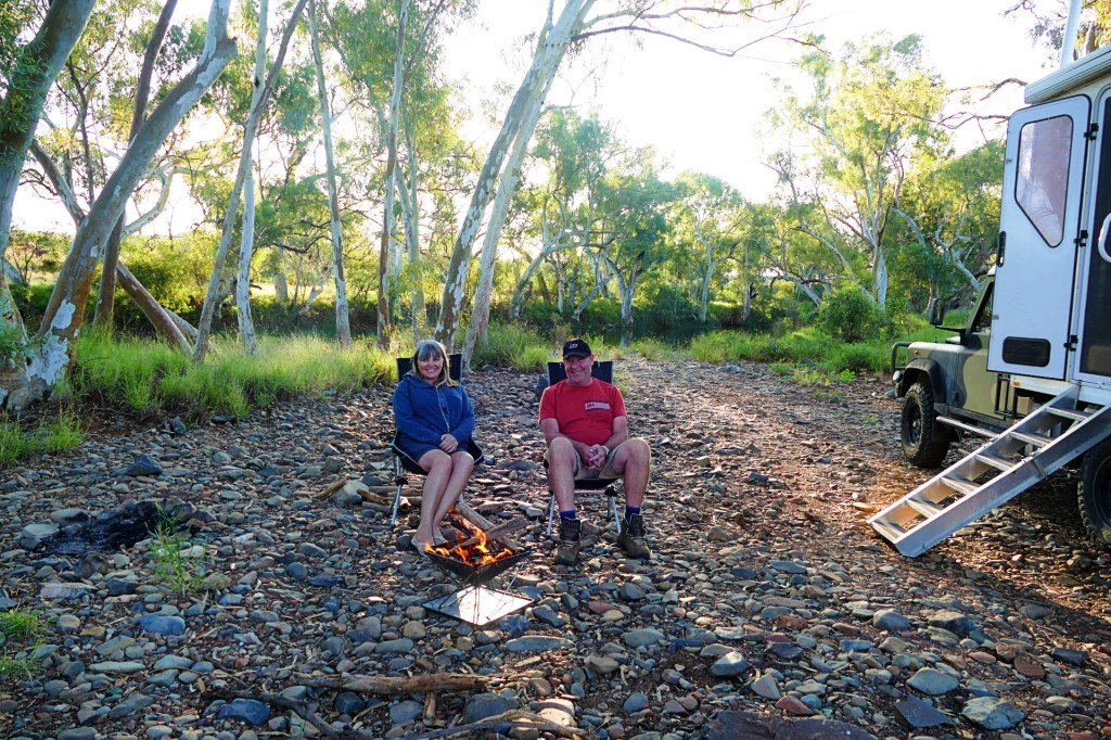
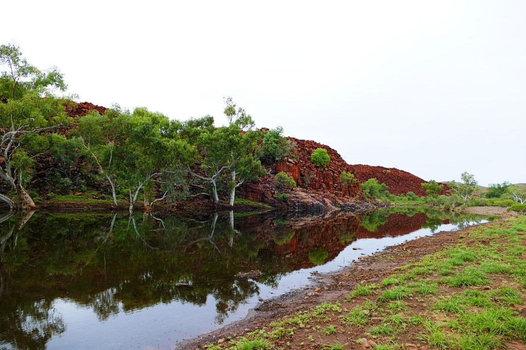
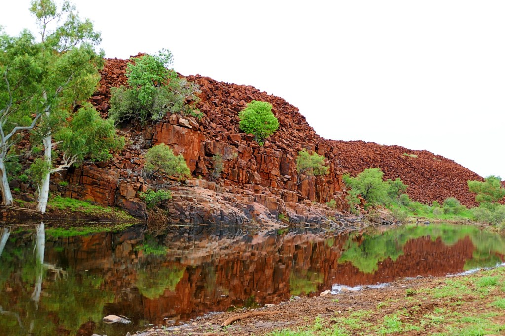
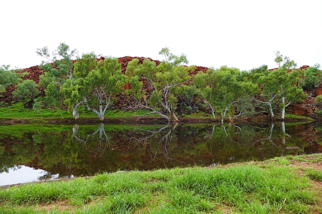
We ended the day at another free camp site just outside of Paraburdoo on Bellary Creek. Very pretty little creek, nice camp spot.


Day 118, Friday the 3rd June, 2022
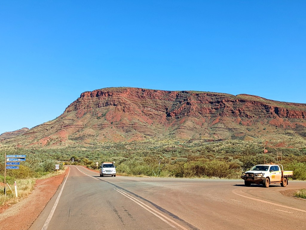
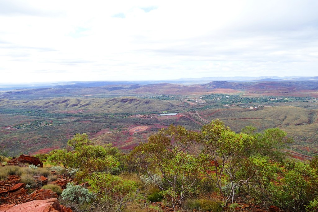
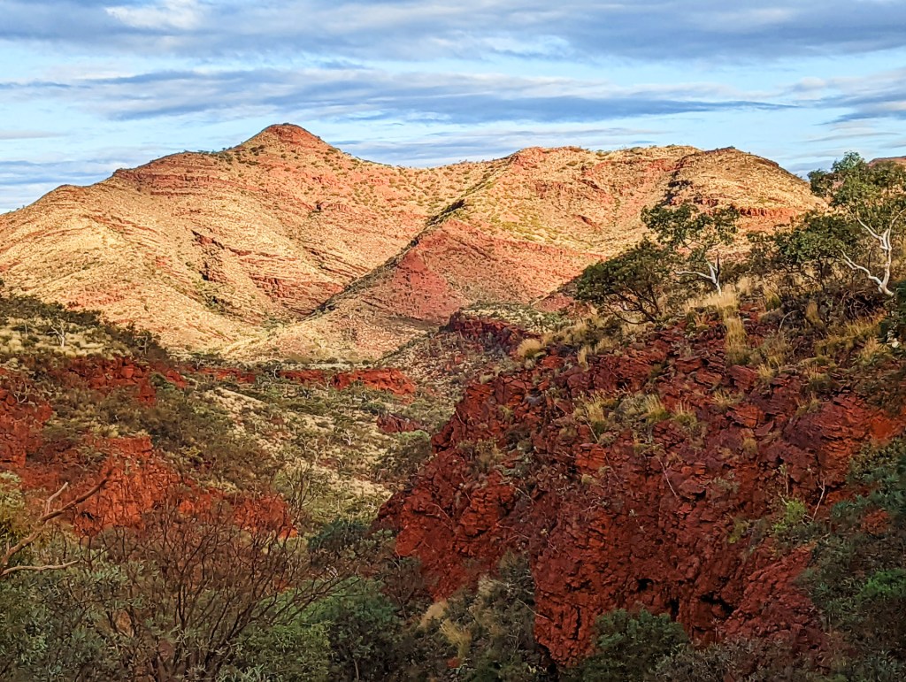
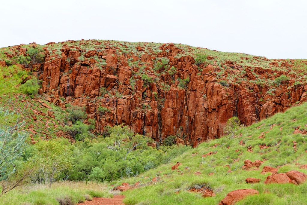
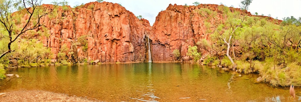
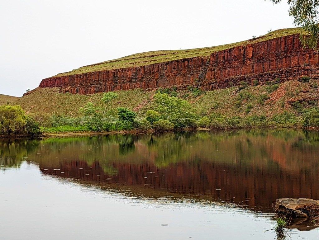
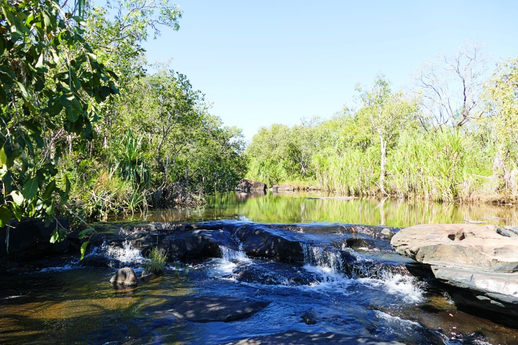
We travelled to a mining town called Tom Price to restock our supplies before entering Karajini National park. We were very excited to get to Karajini, it was recommended to us by fellow travellers and when we researched it, we realised how pretty it was, Lots of gorges, waterfalls and pools.
Tom Price is a little mining town named after the geologist who discovered the minerals in the area. It has good infrastructure, a Coles and a hospital.
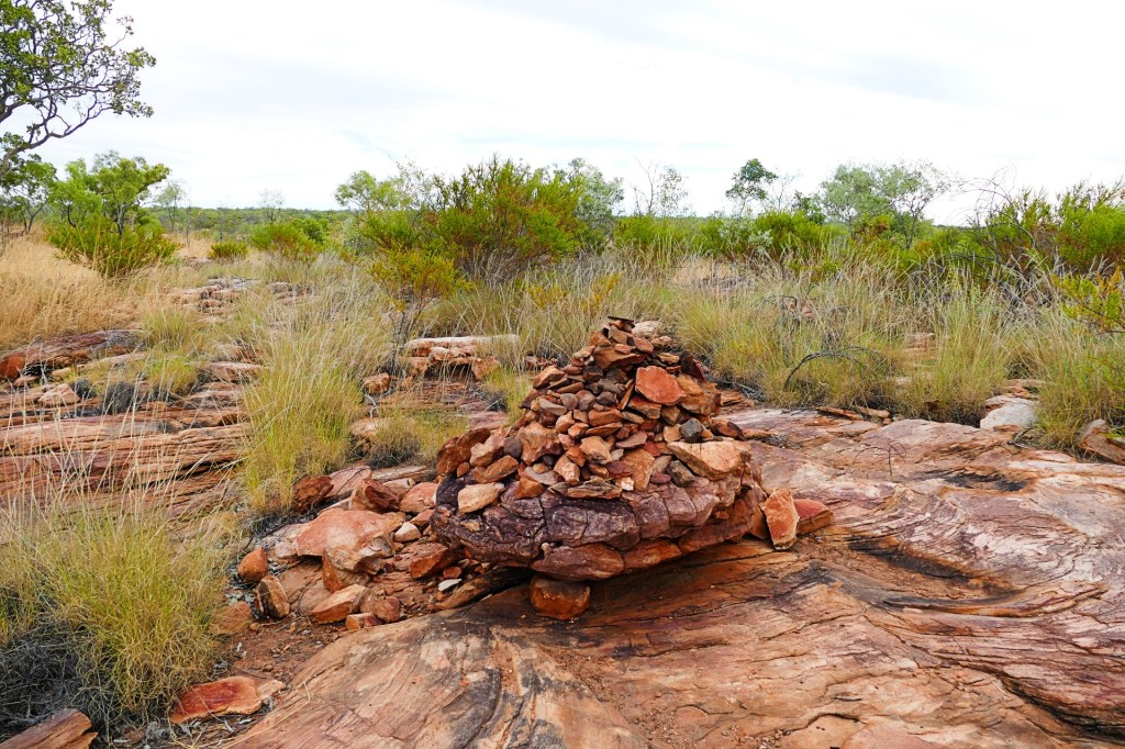
We stopped at the RIP lookout. Apparently people have left rocks or plaques with the names of people who have passed. This has given some people comfort.
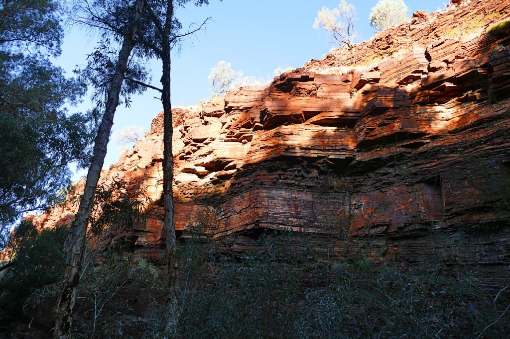
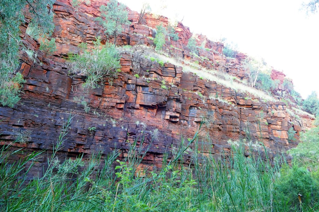
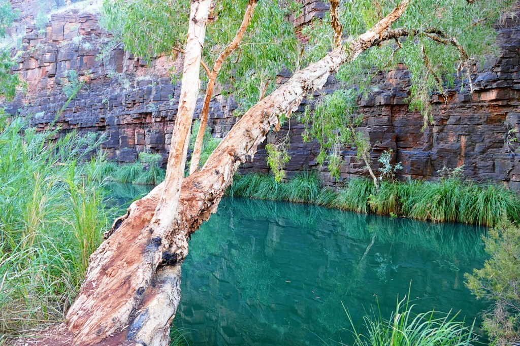
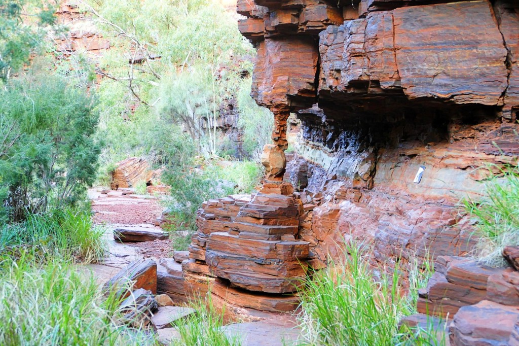
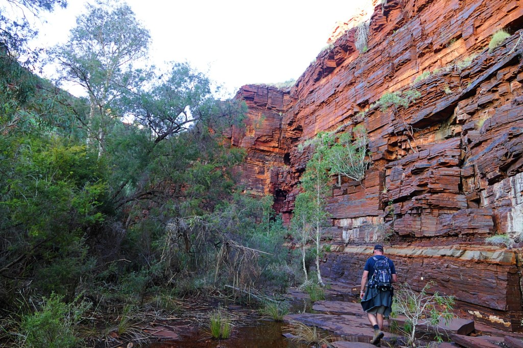
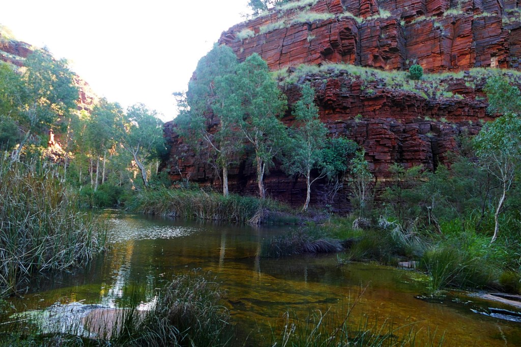
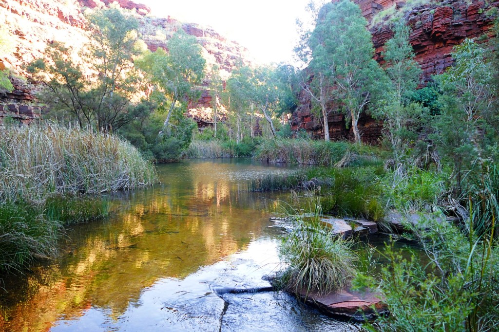
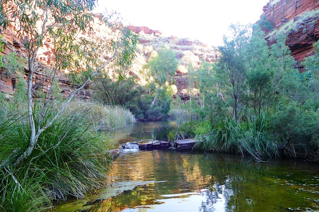
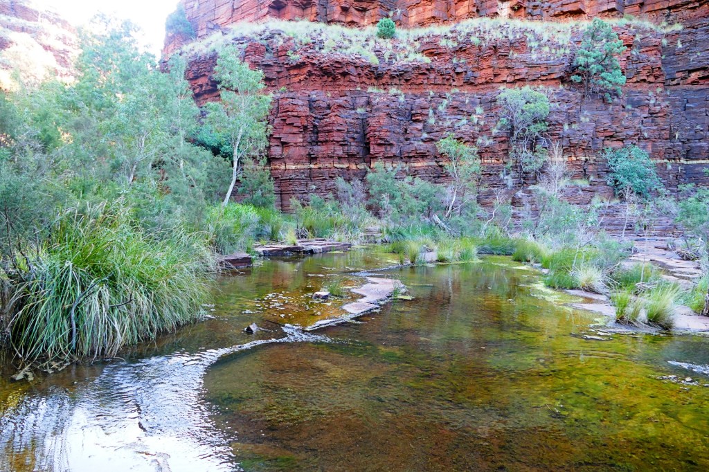
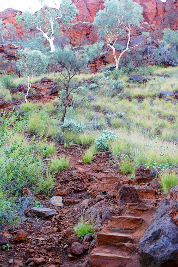
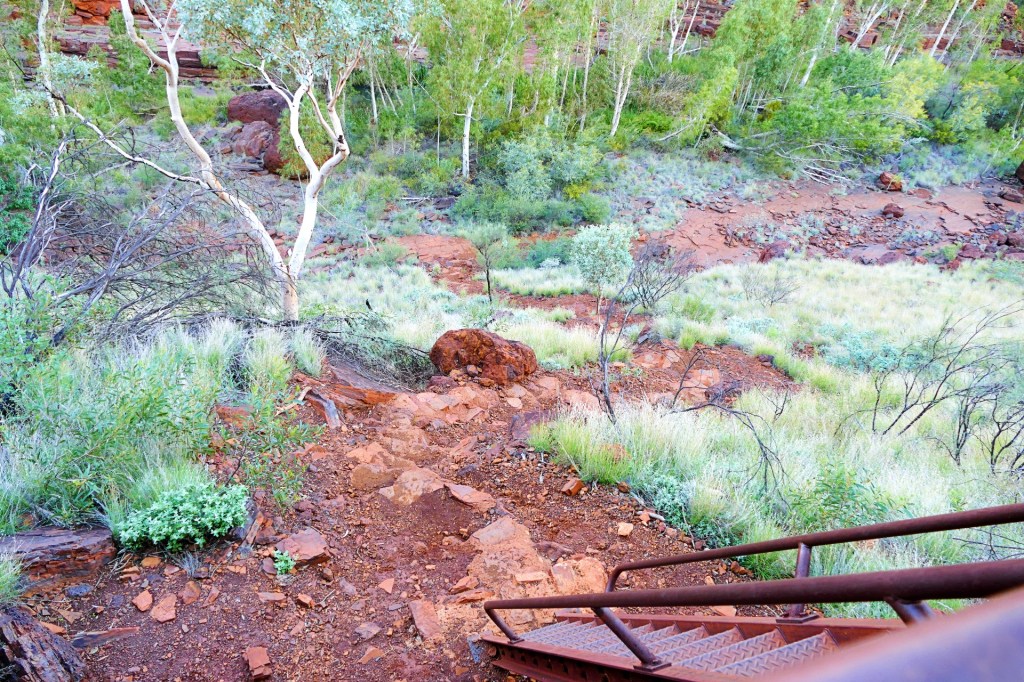
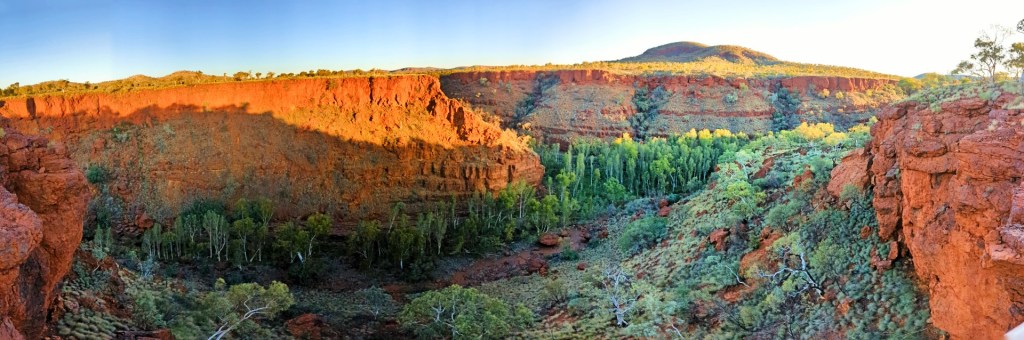
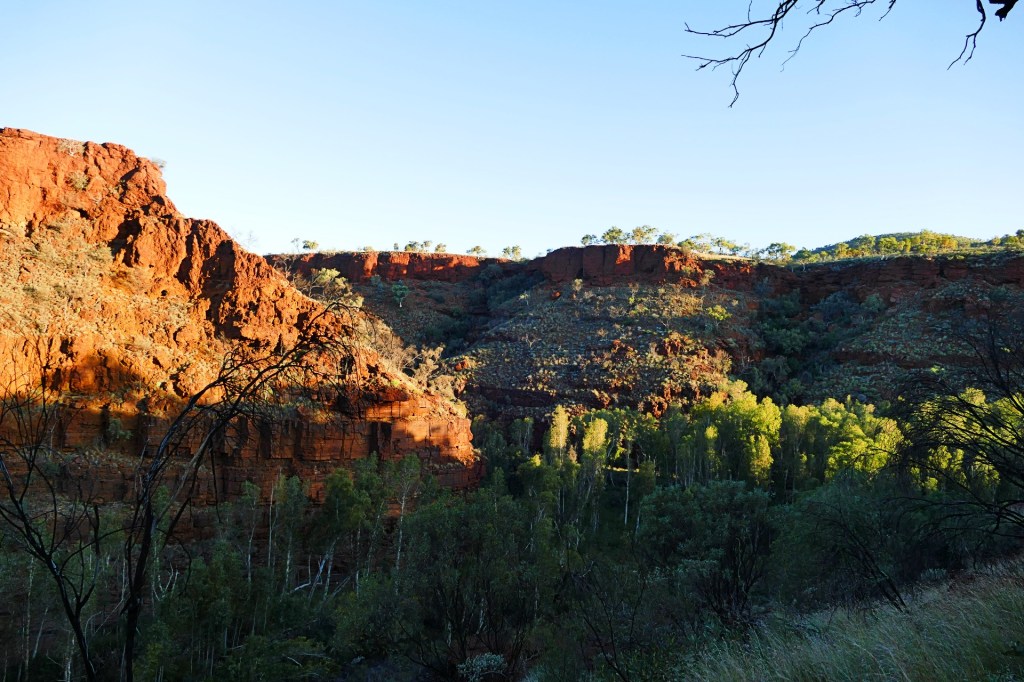
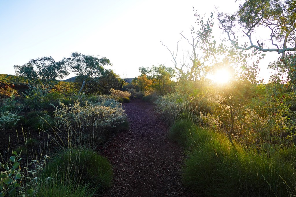
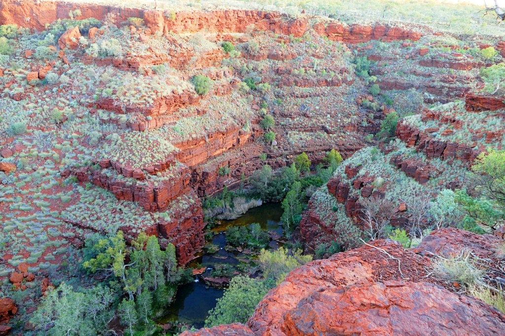
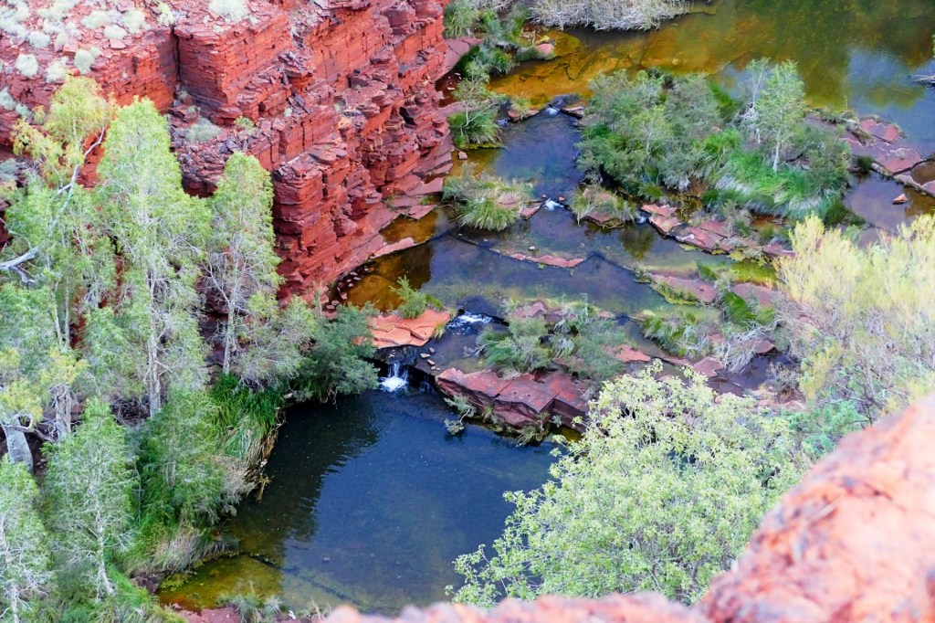
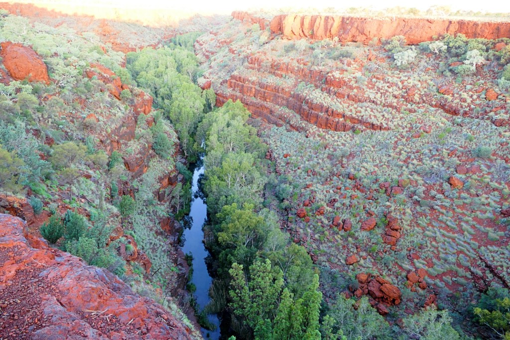
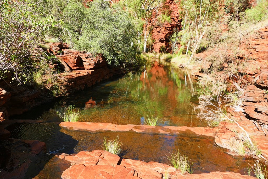
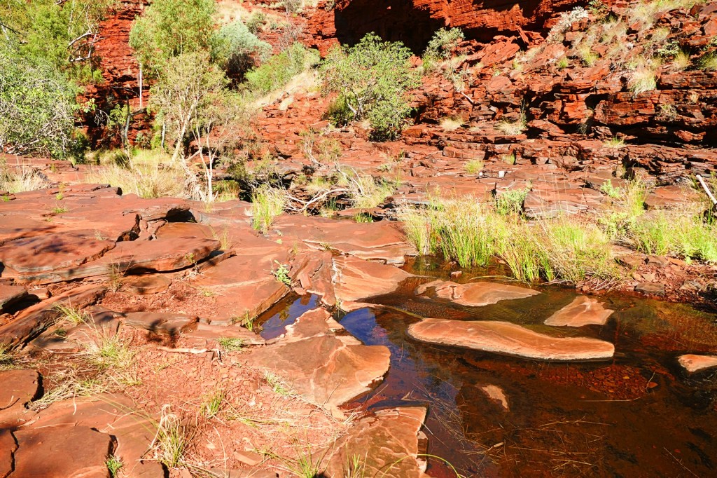
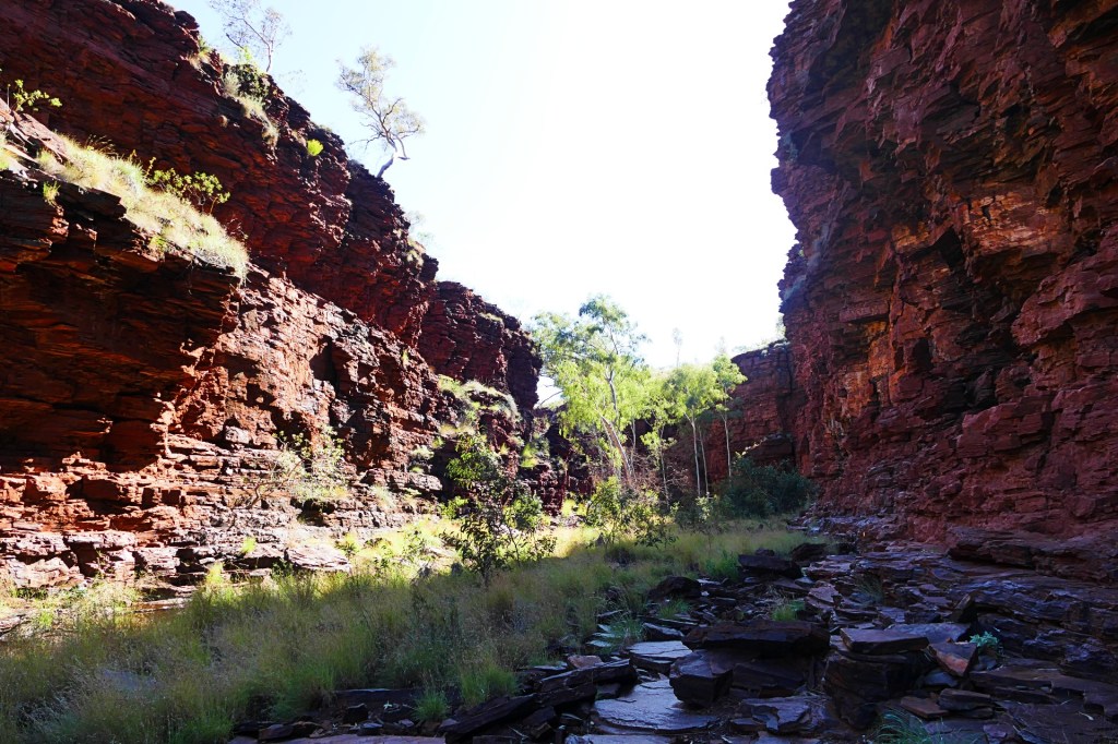
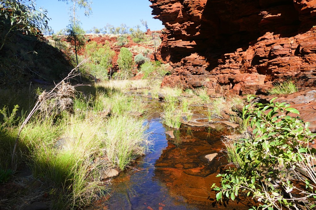
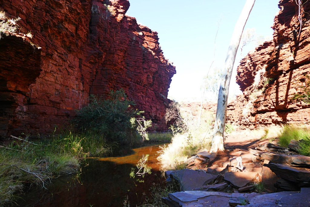
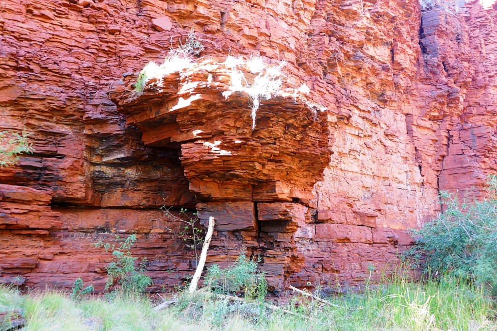
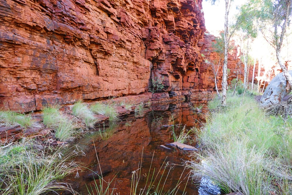
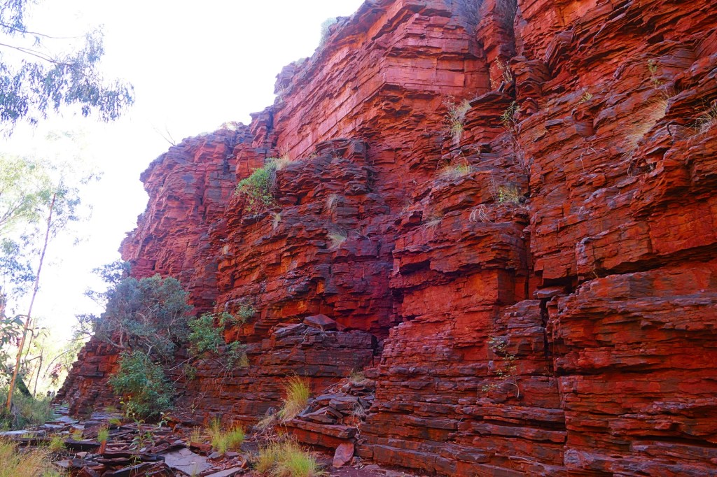
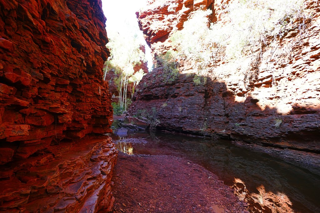
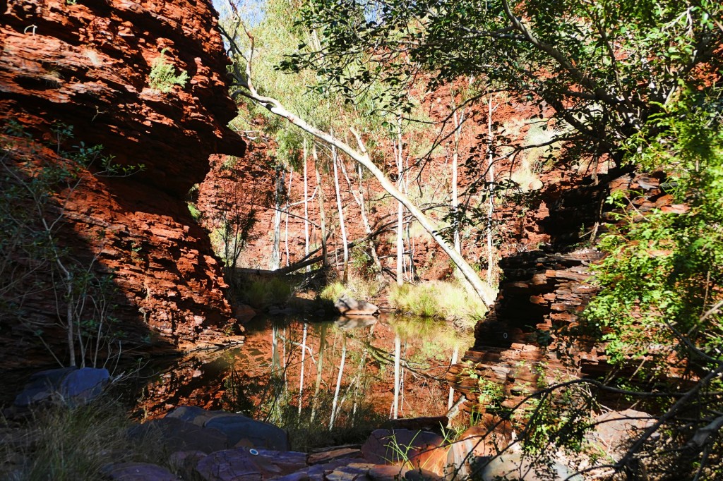
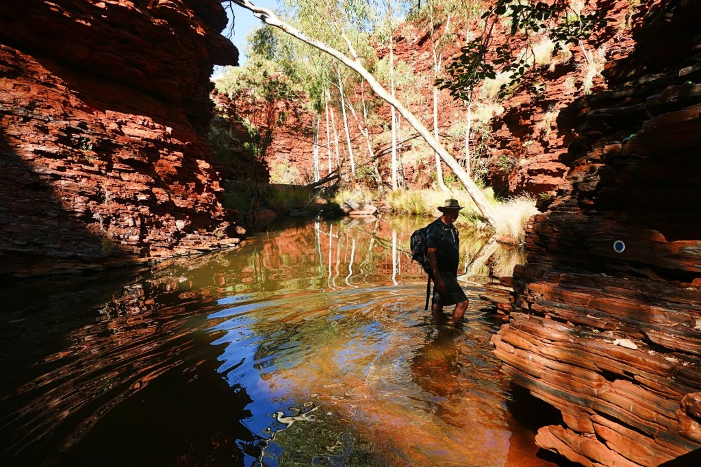
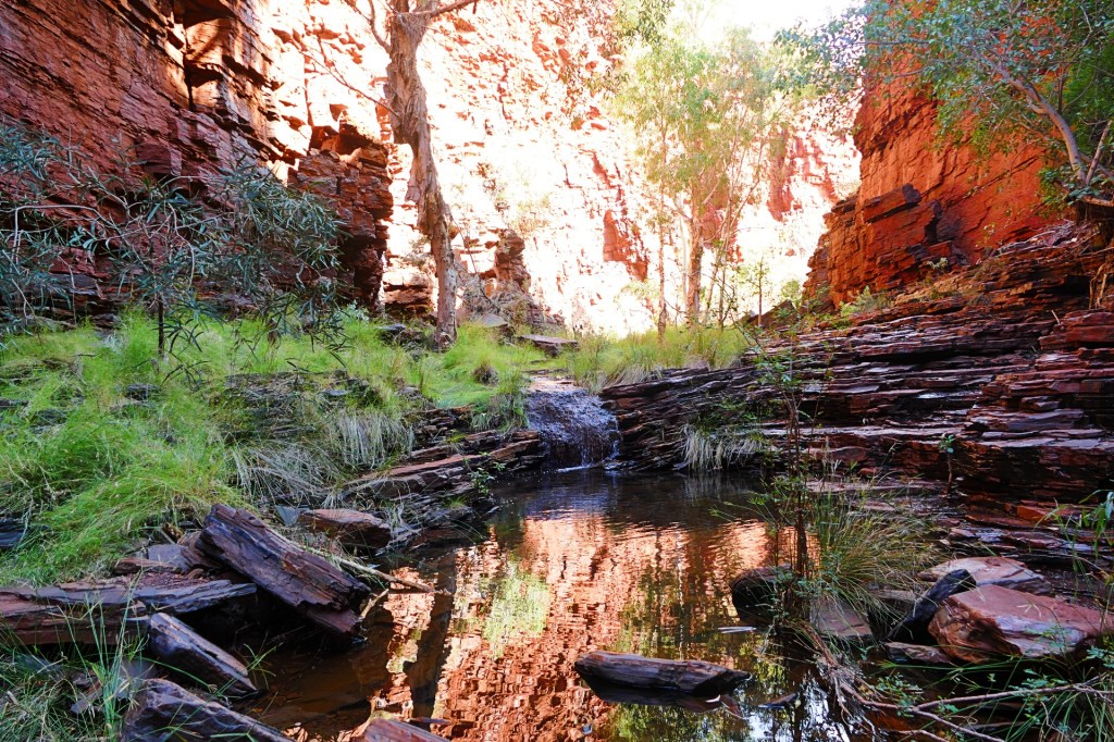
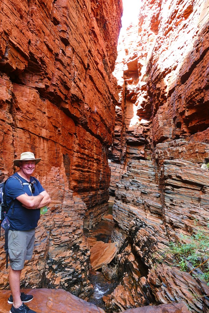
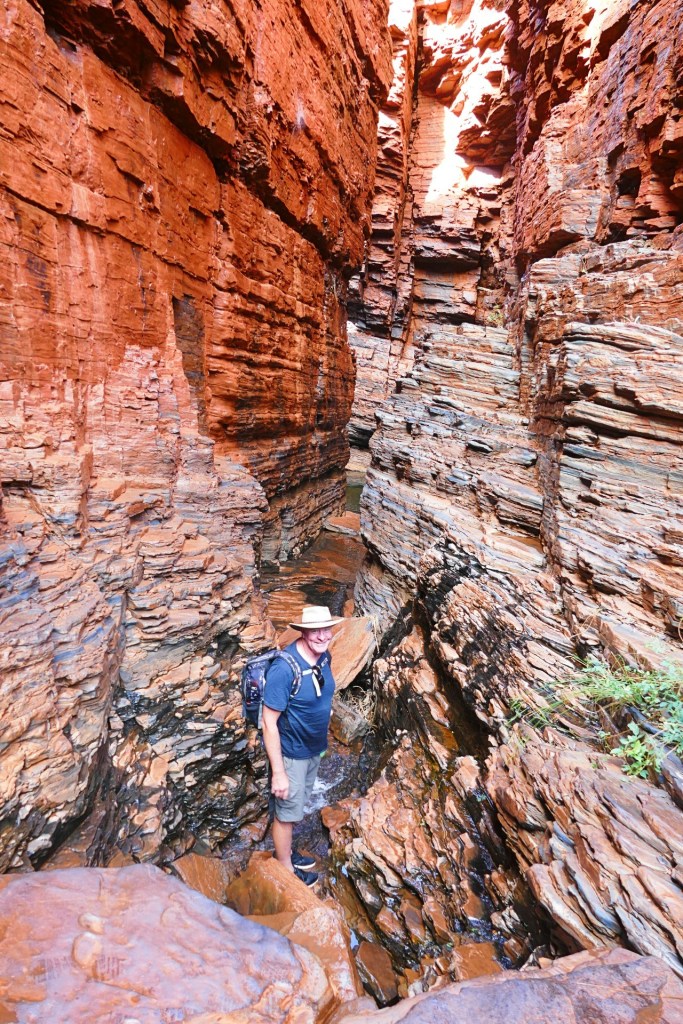
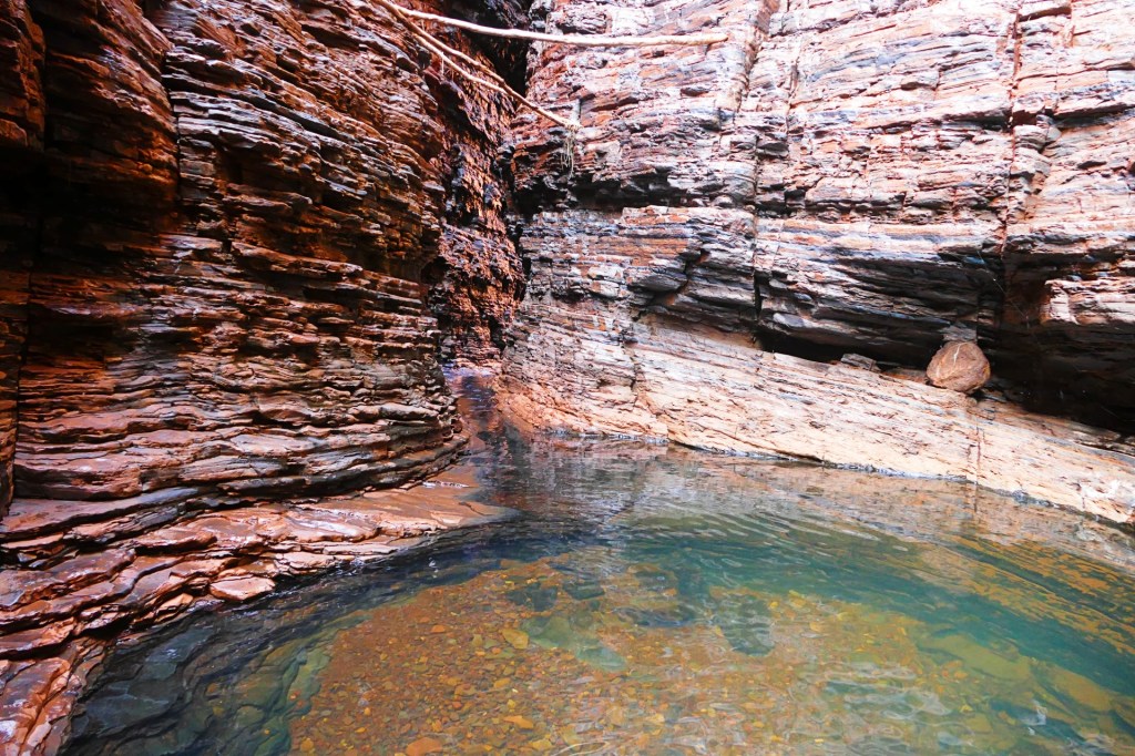
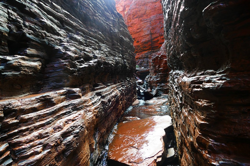
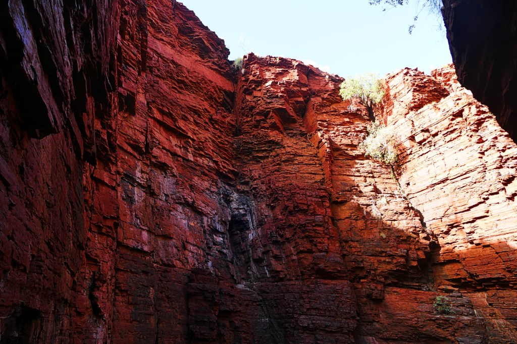
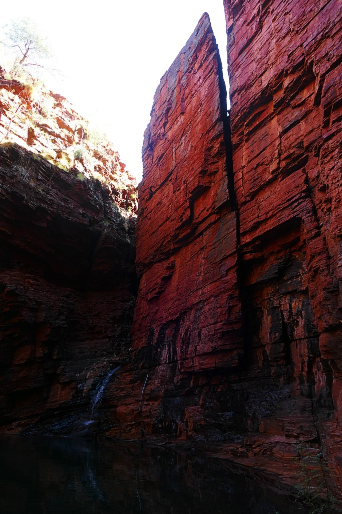
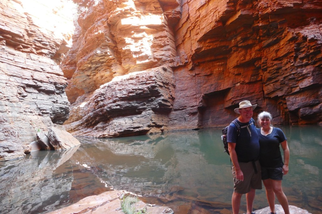
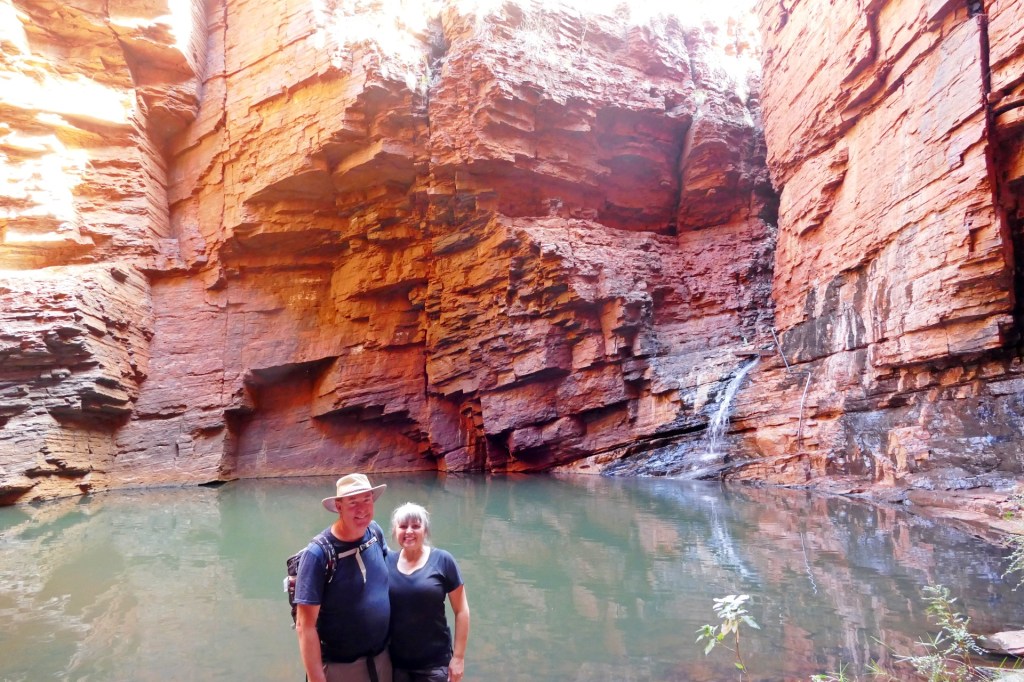
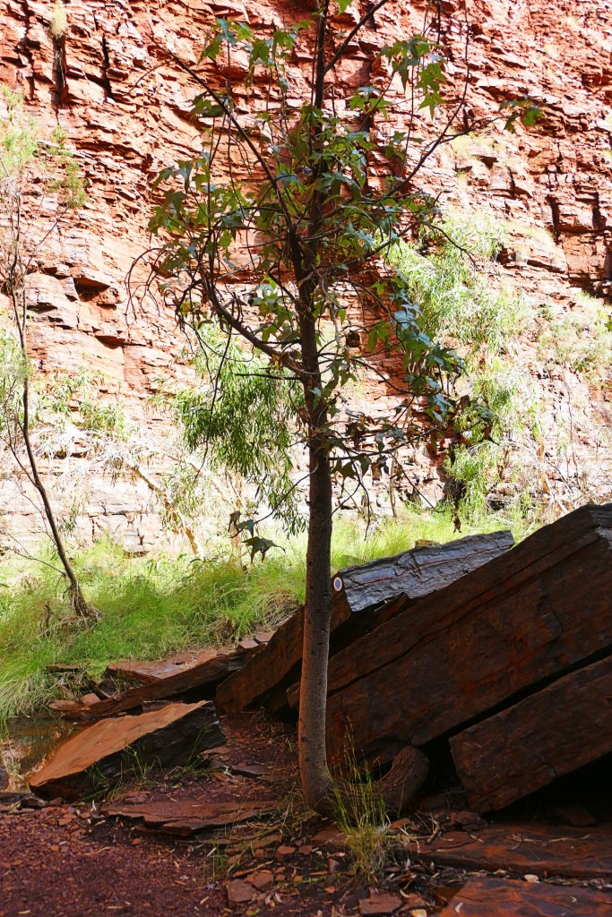
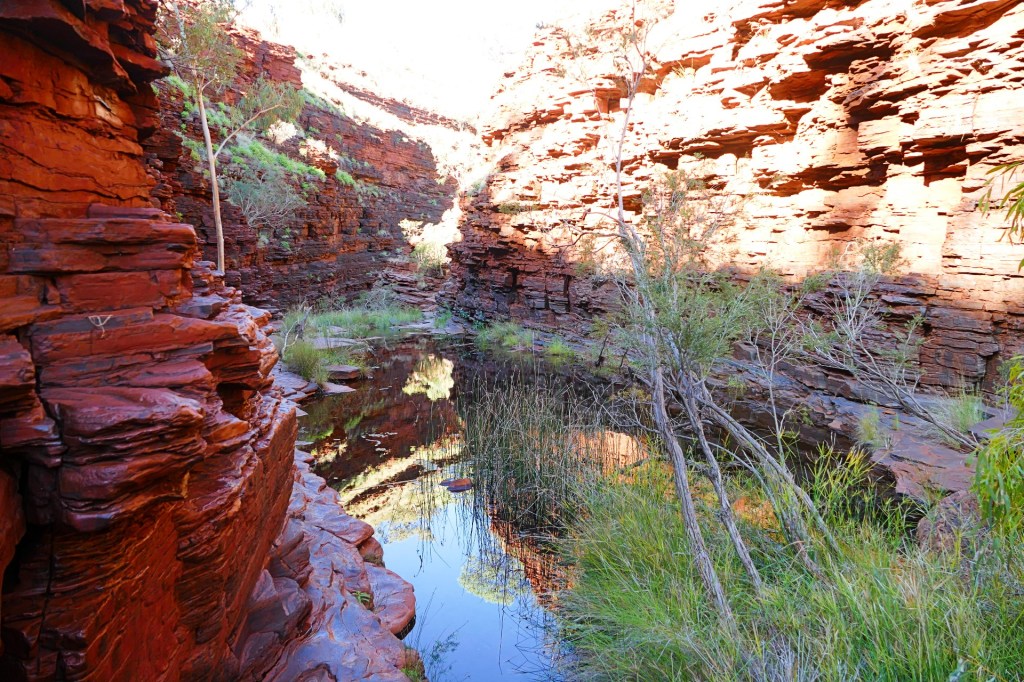
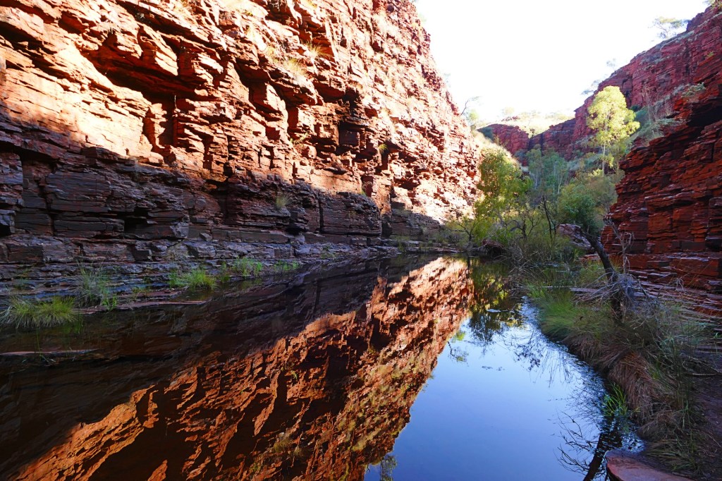
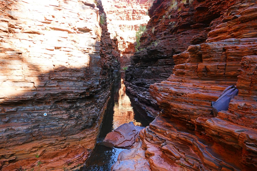
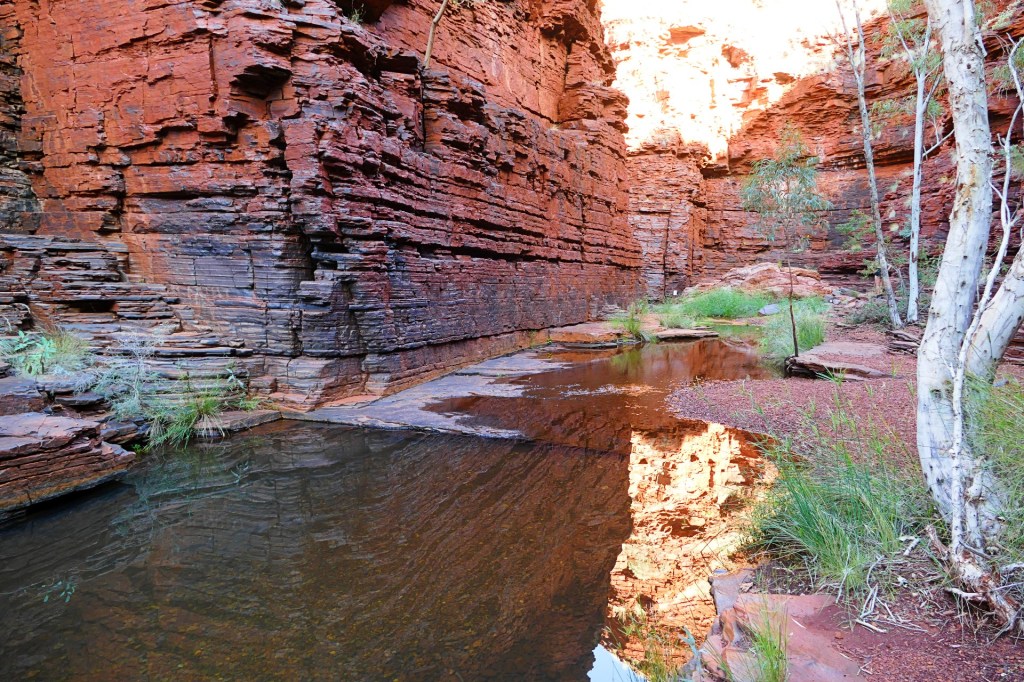
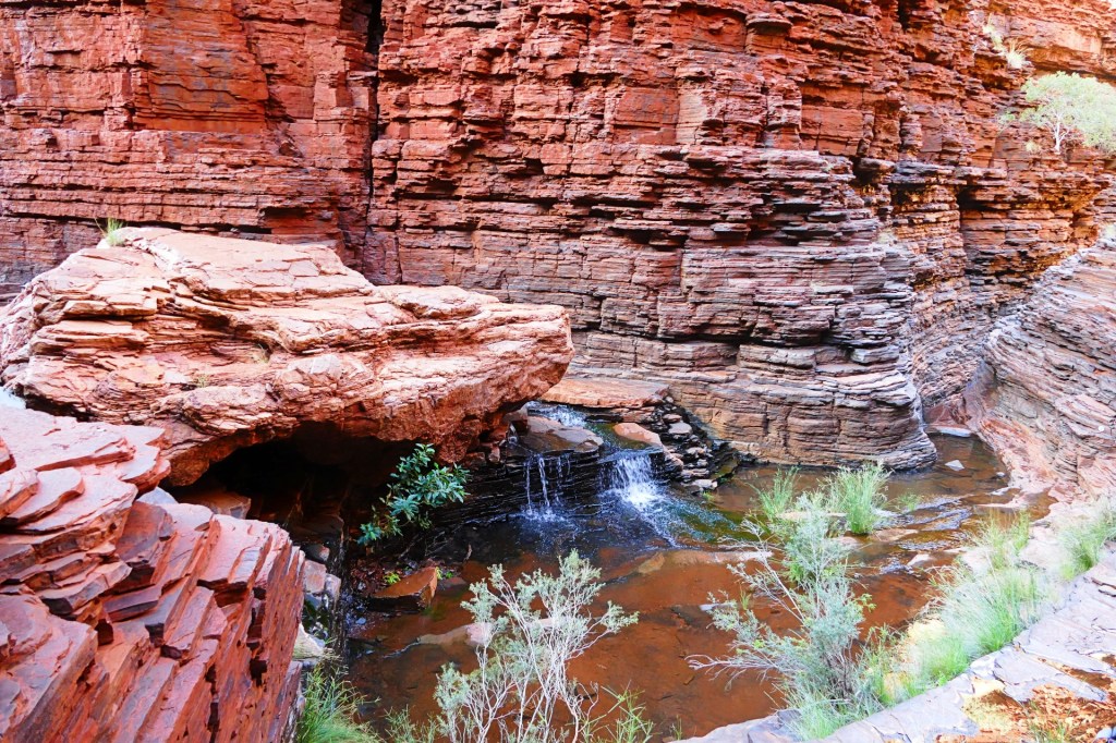
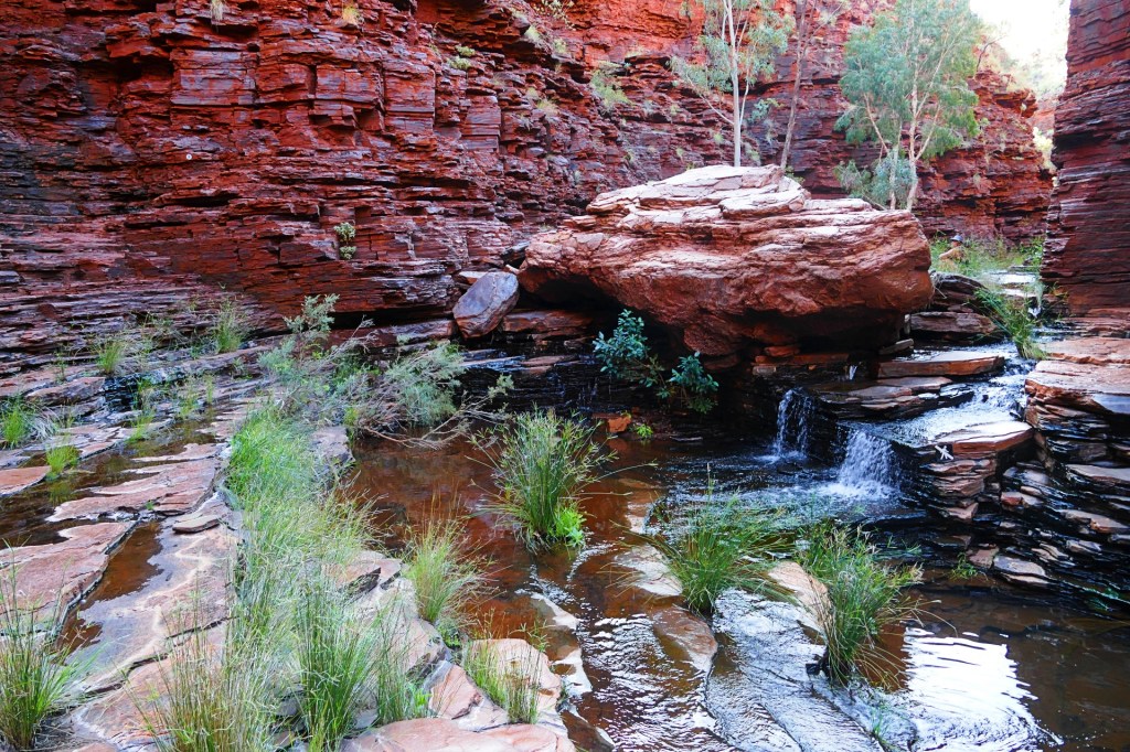
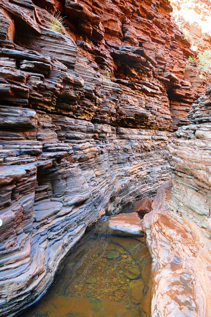
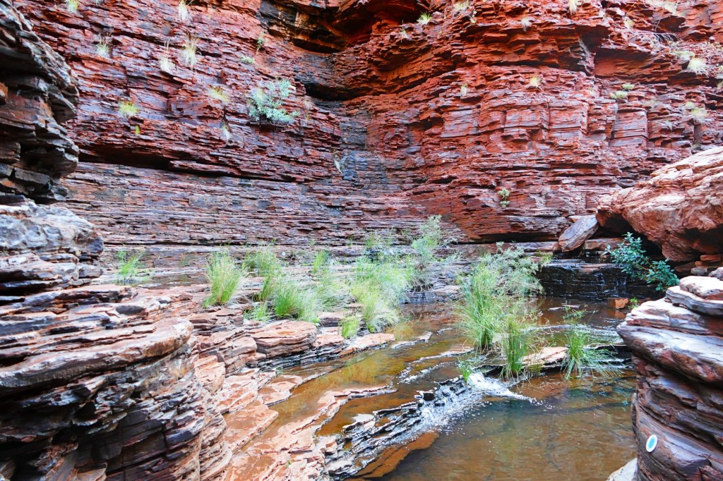
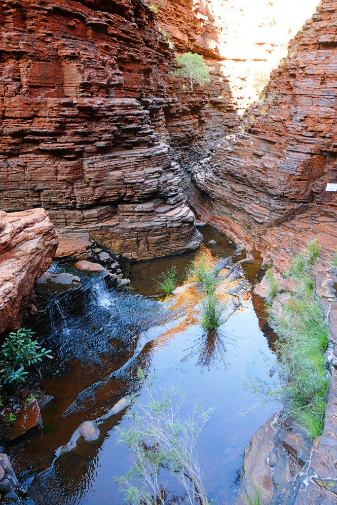
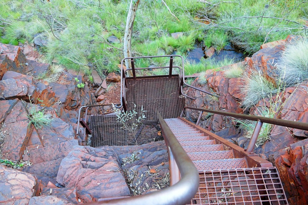
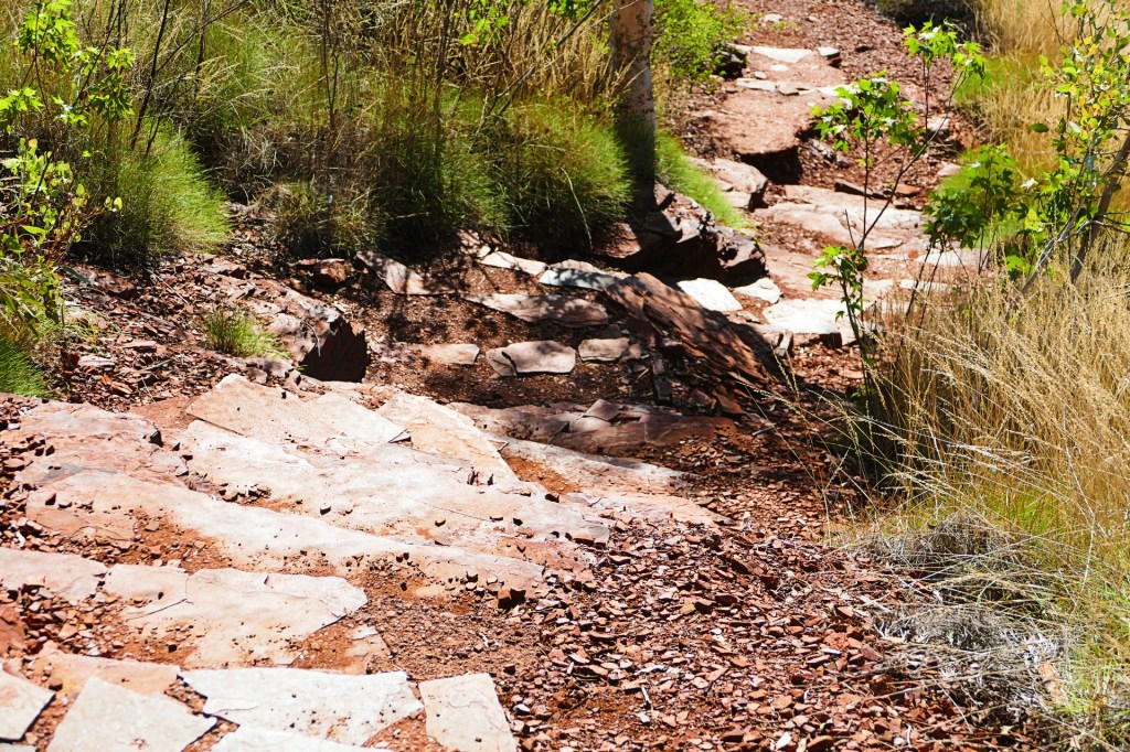
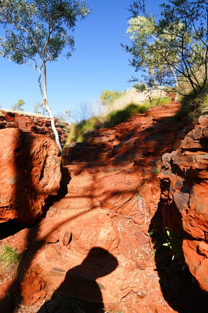
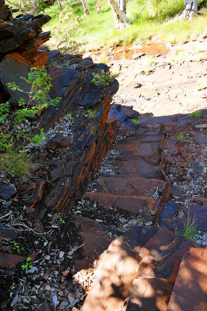
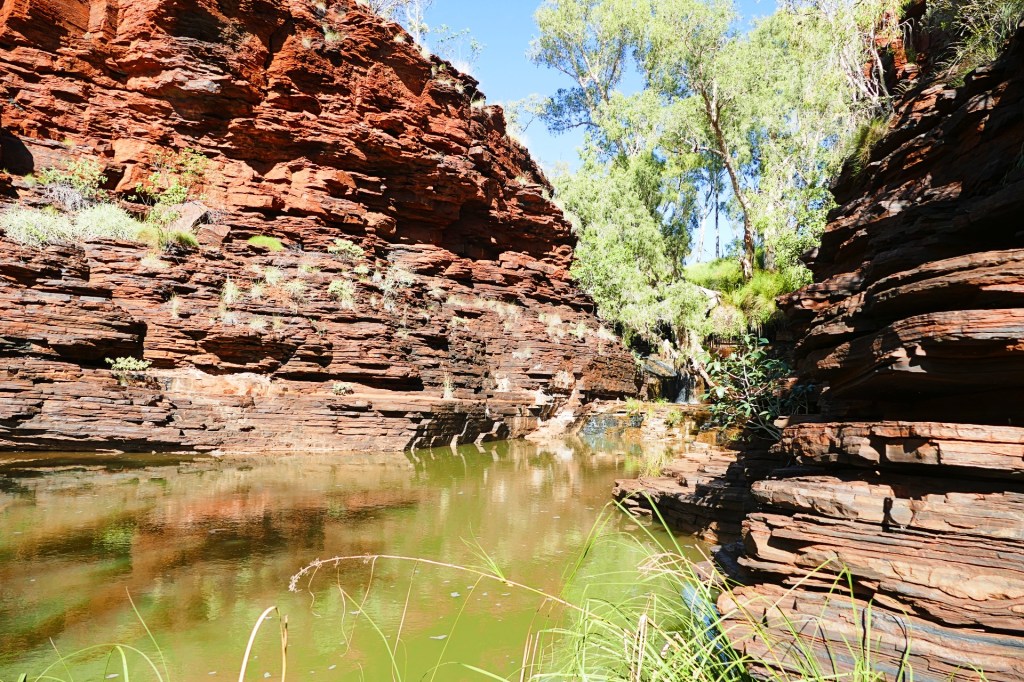
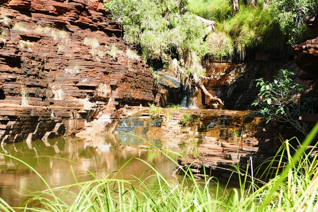
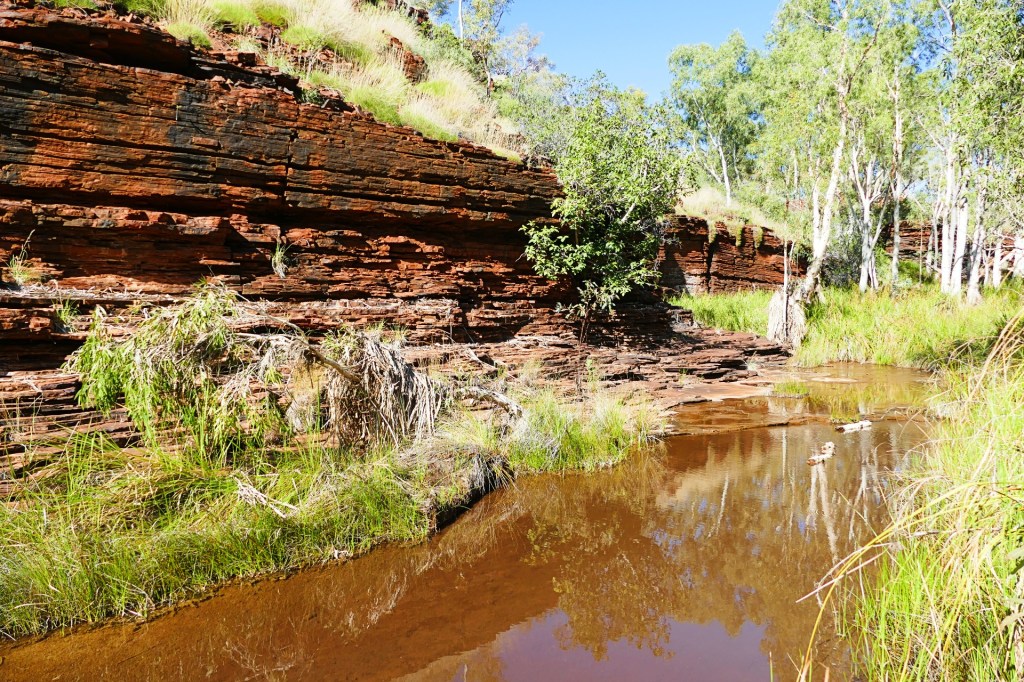
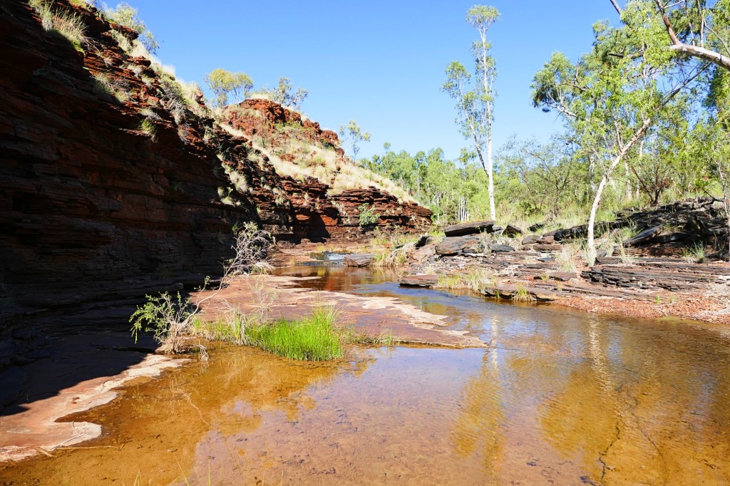
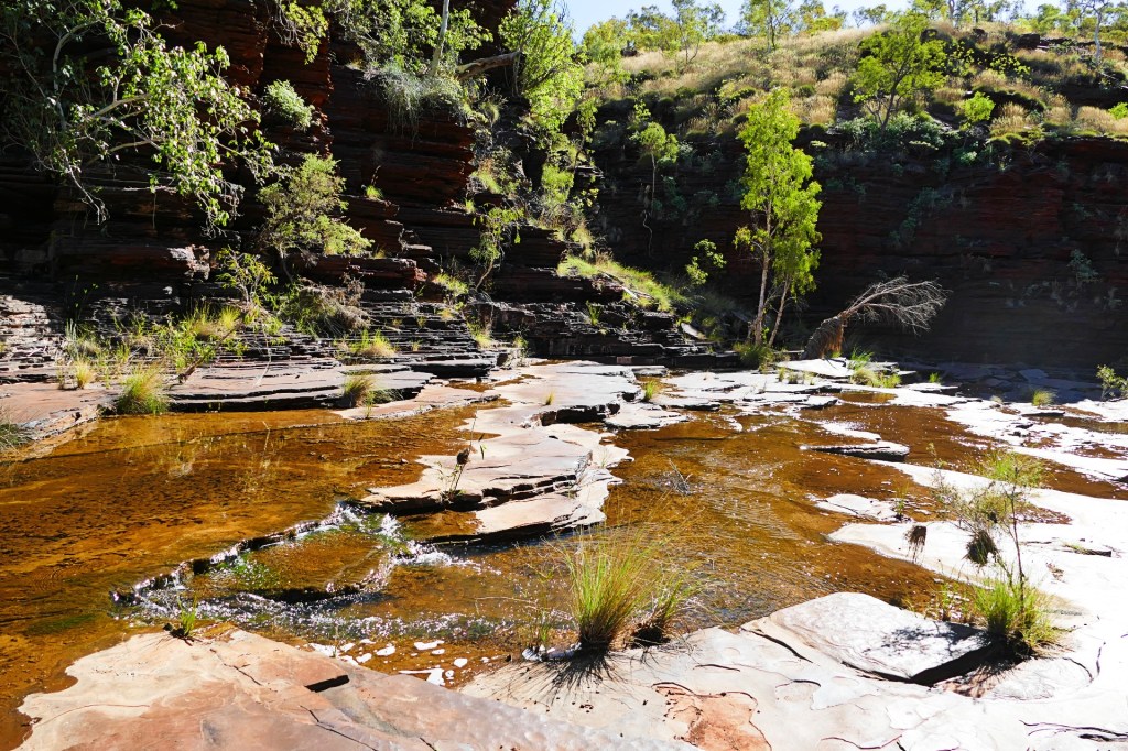
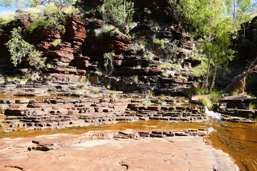
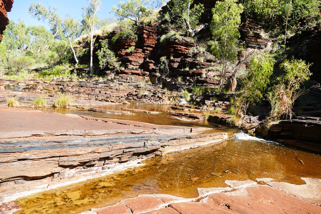
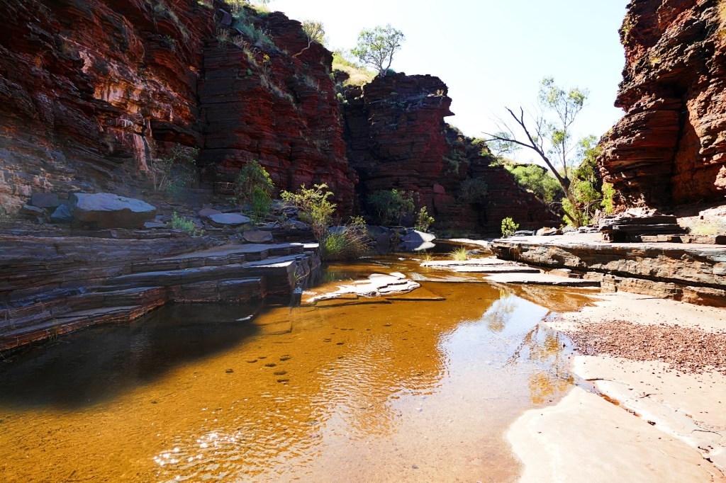
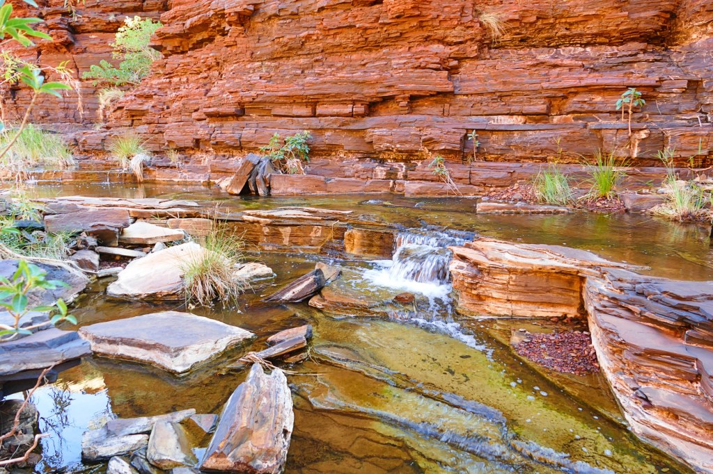
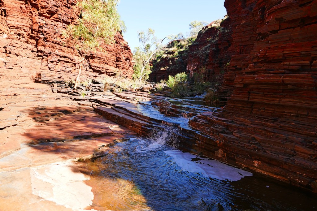
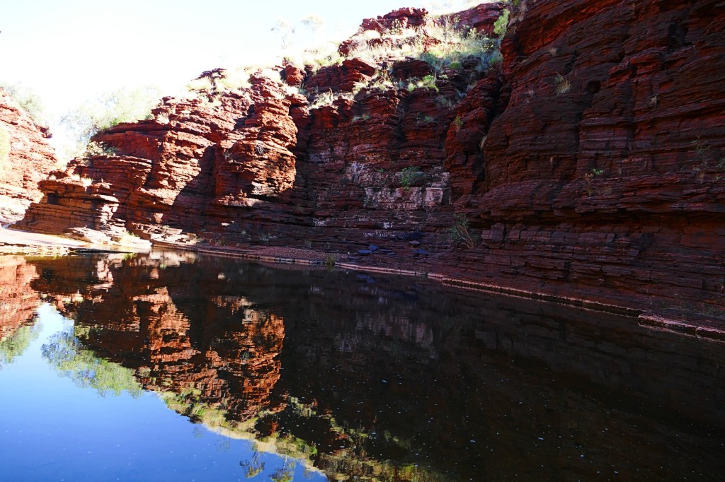
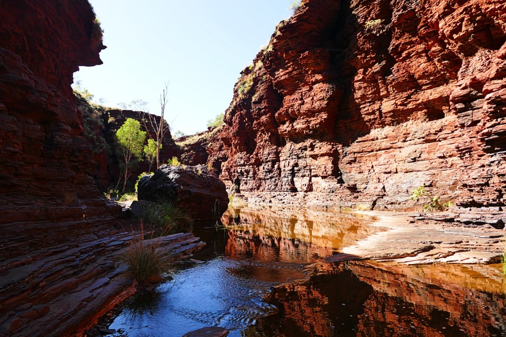
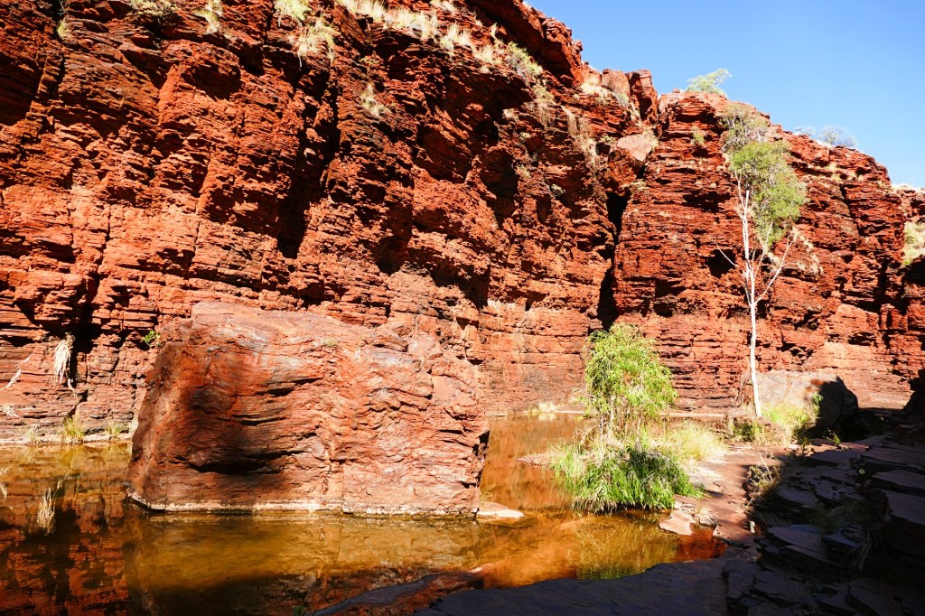
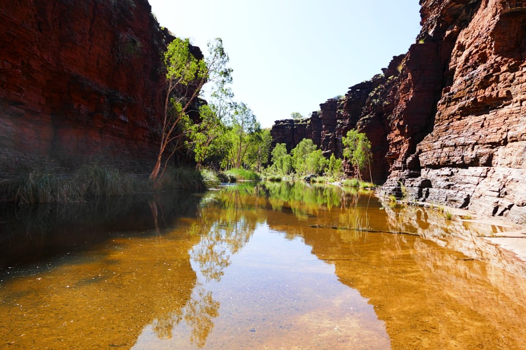
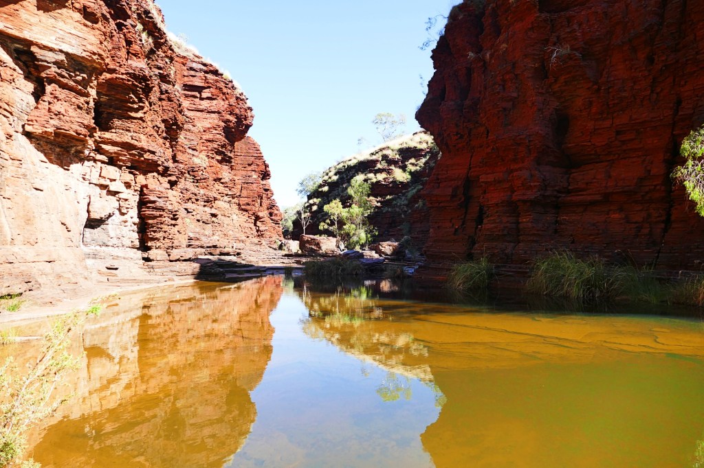
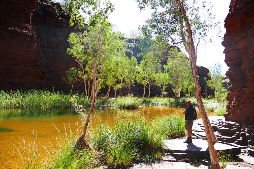
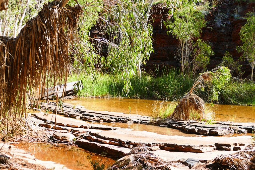
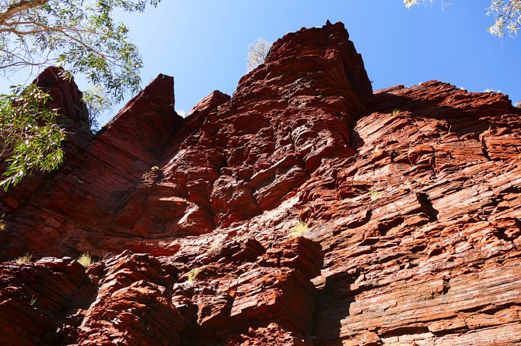
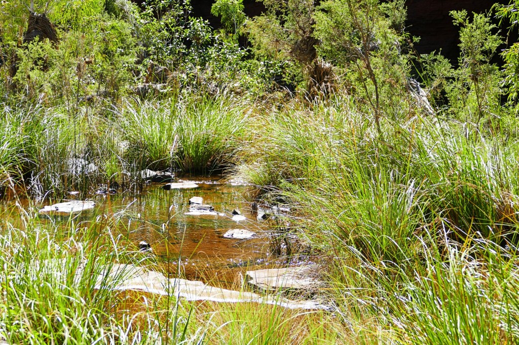
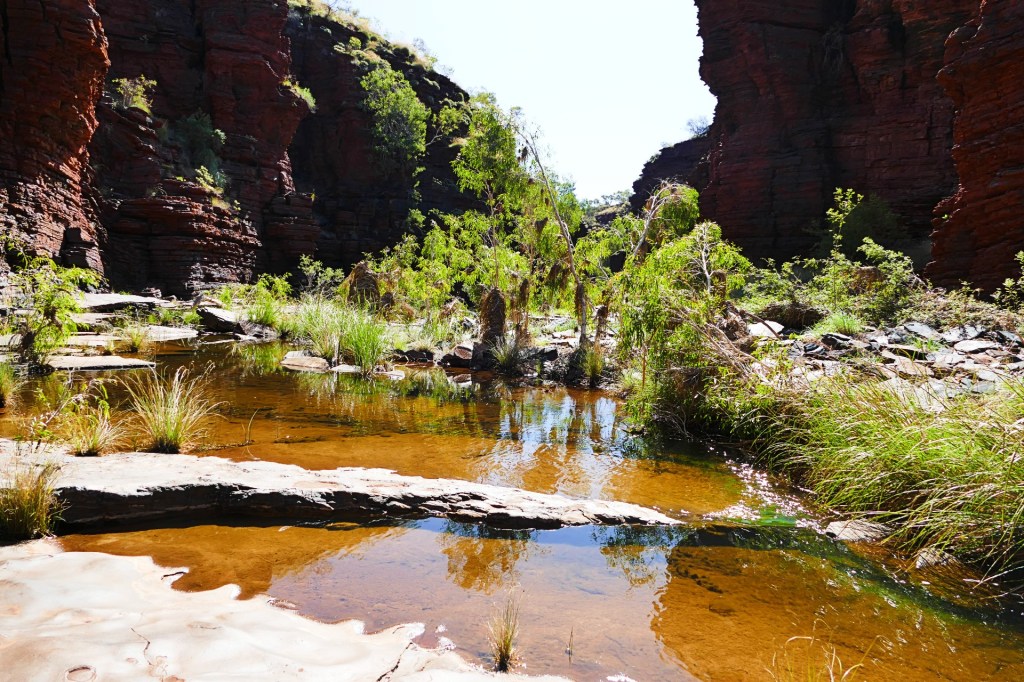
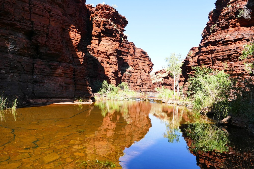
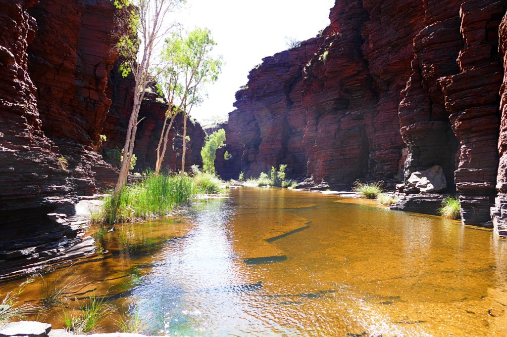
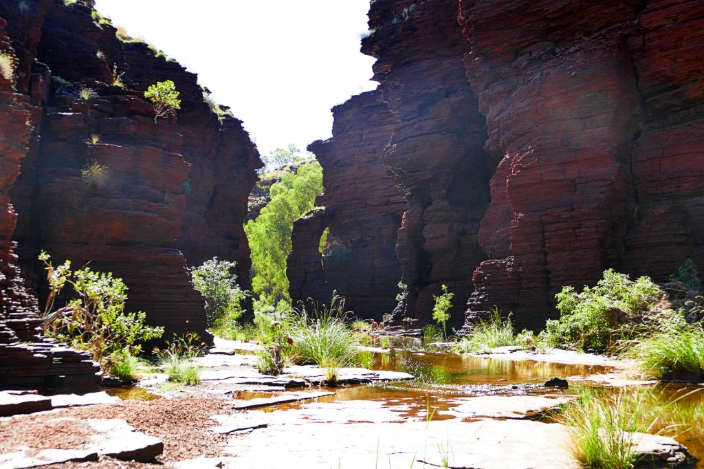
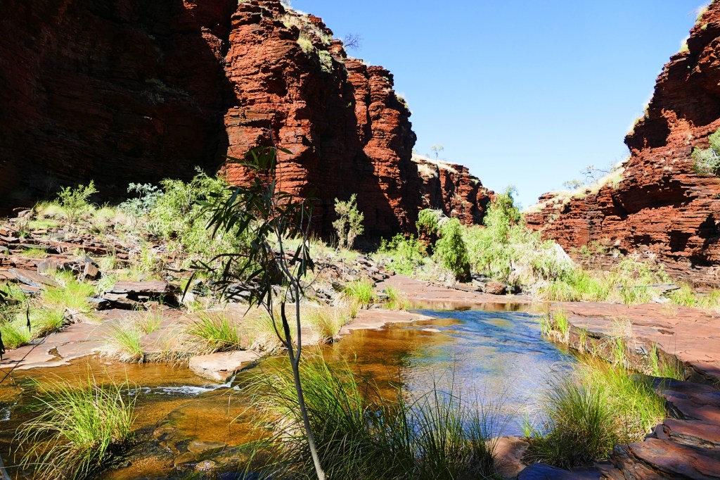
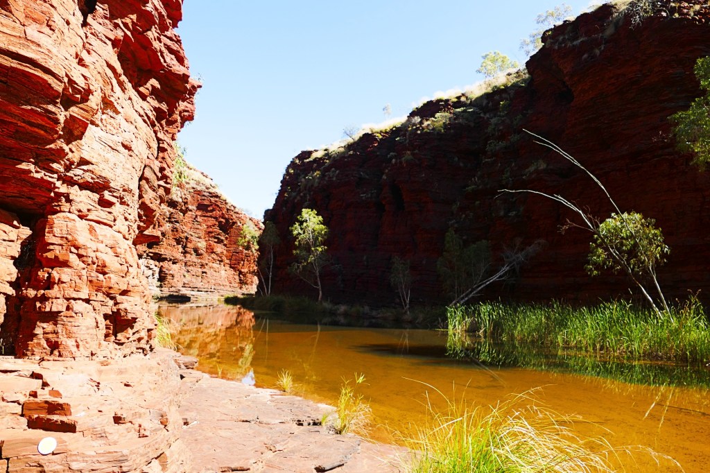
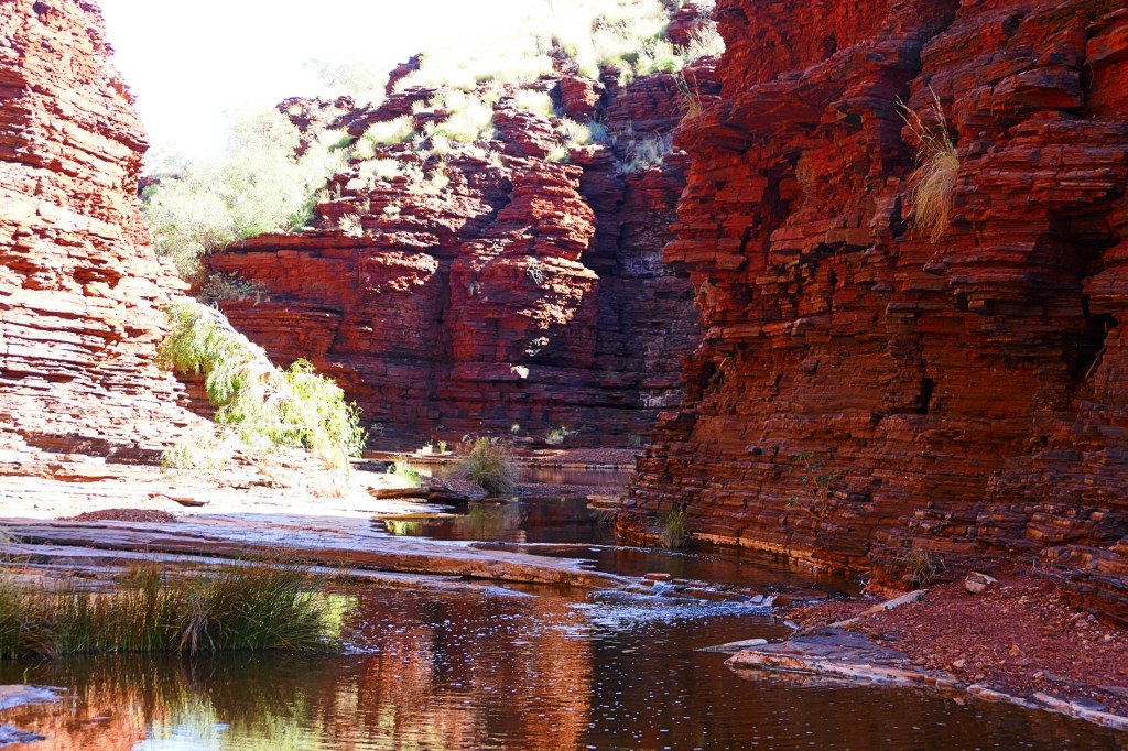
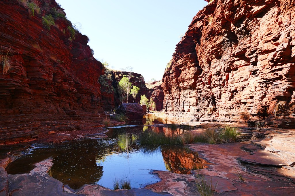
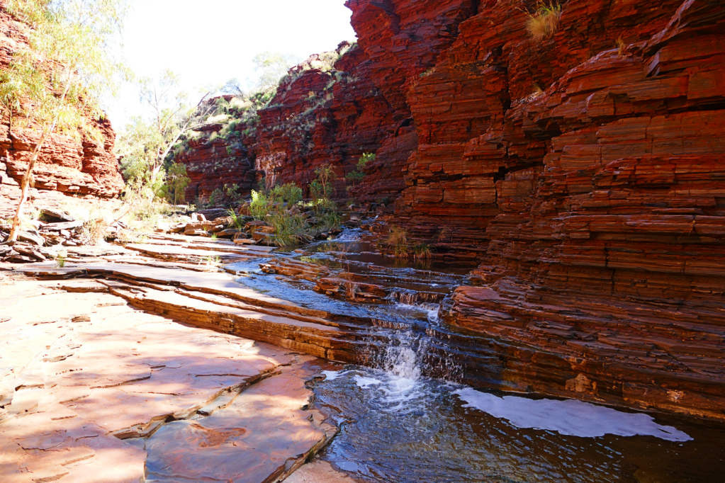
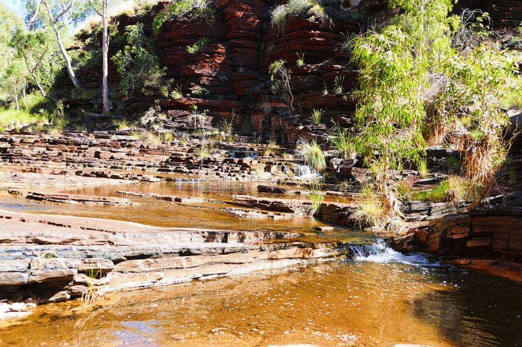
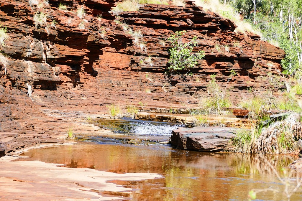
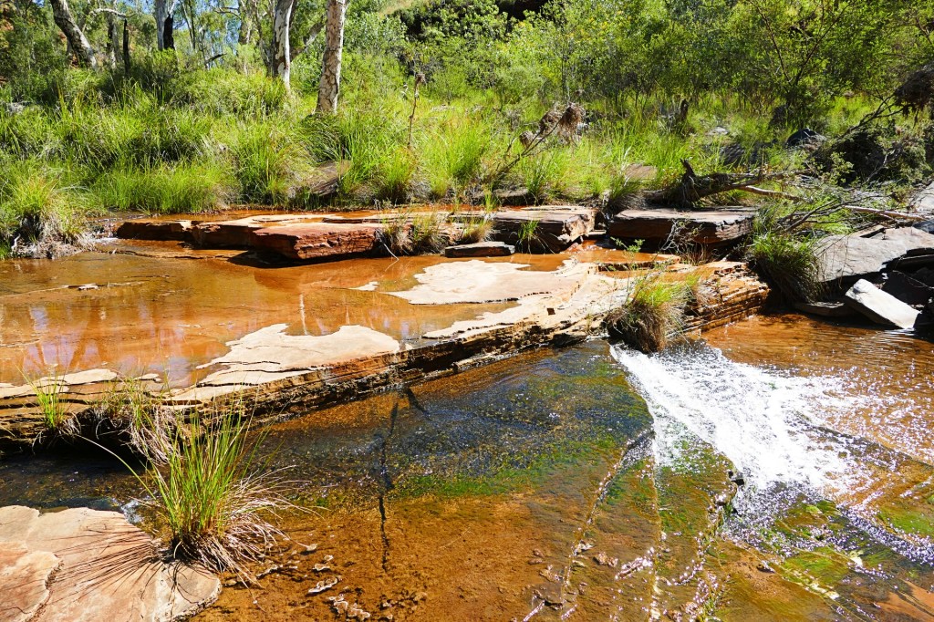
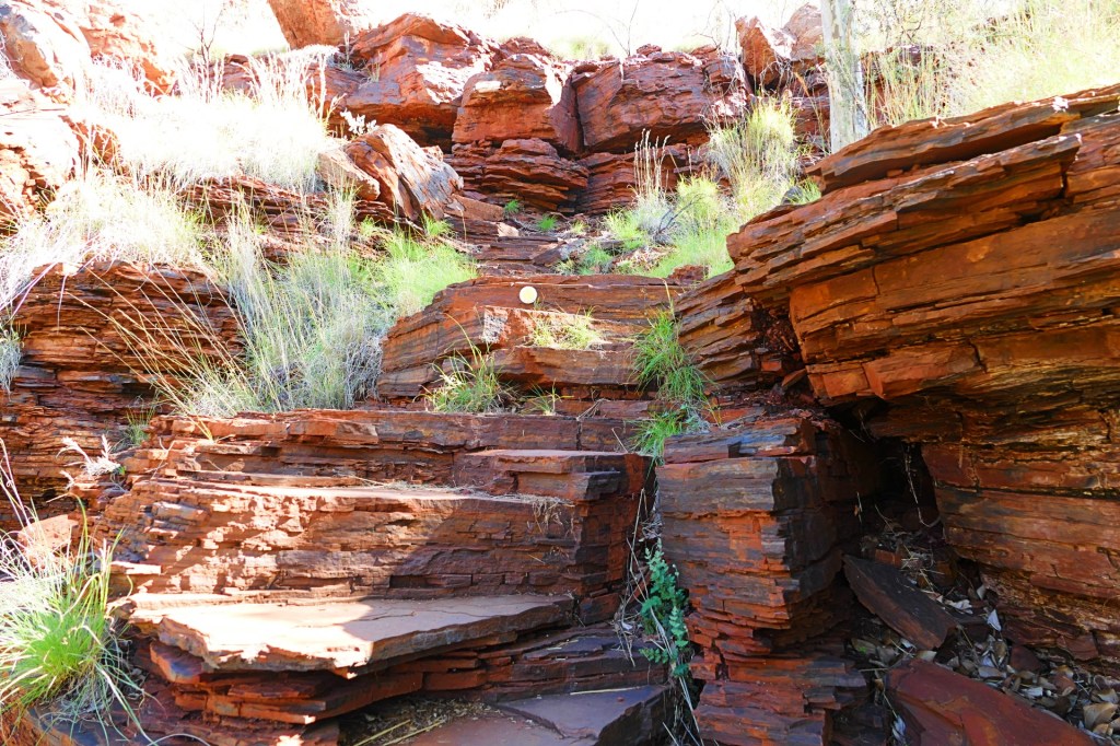
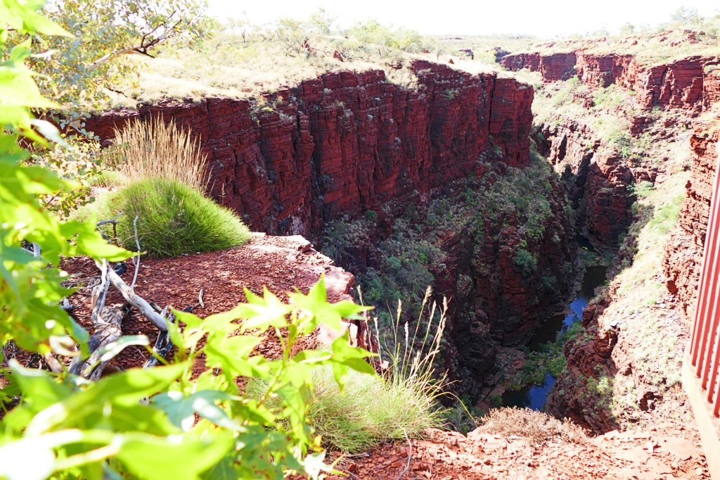
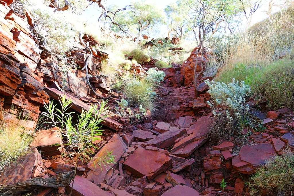
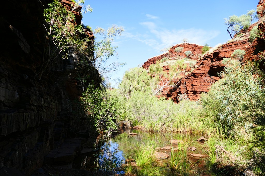
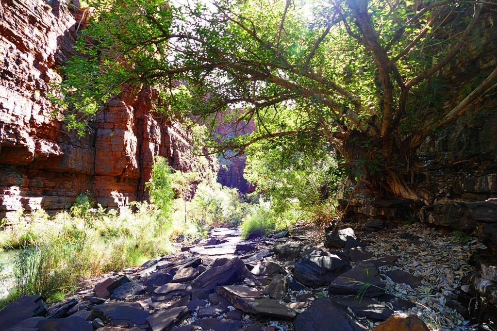
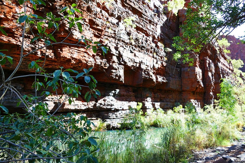
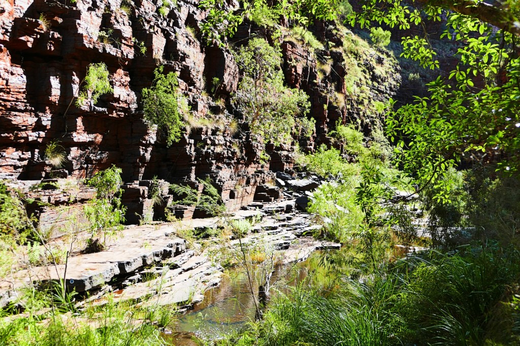
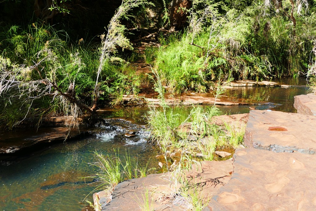
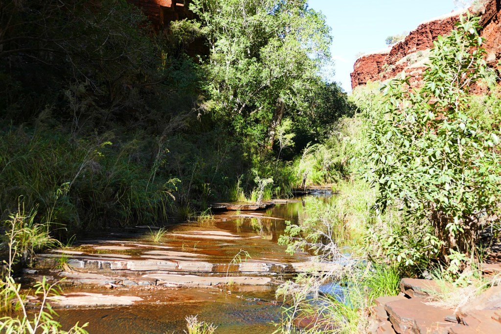
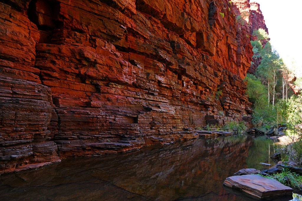
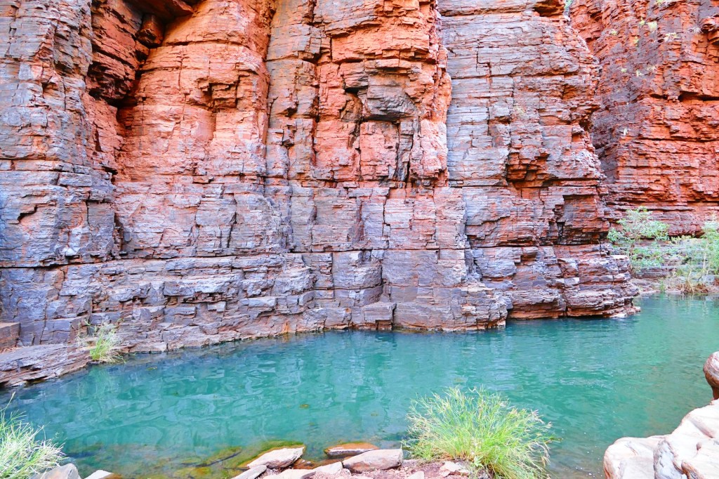
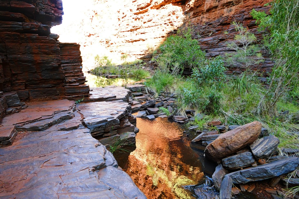
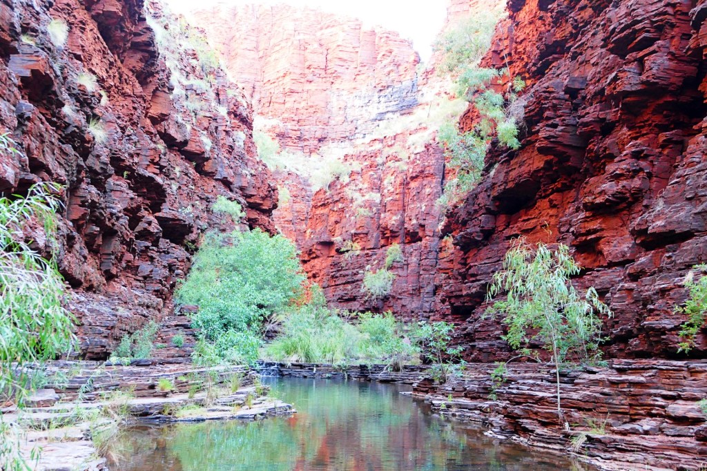
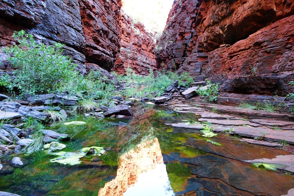
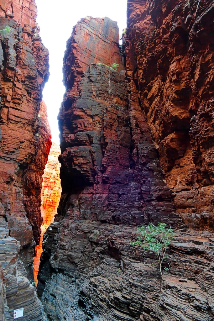
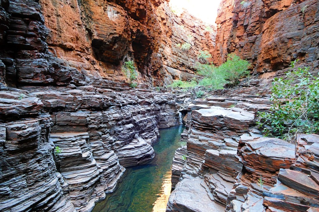
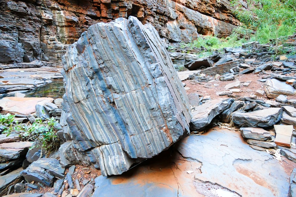
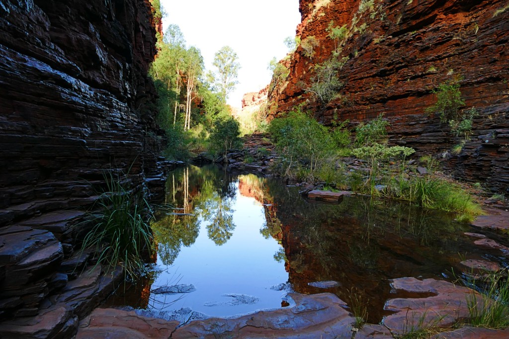
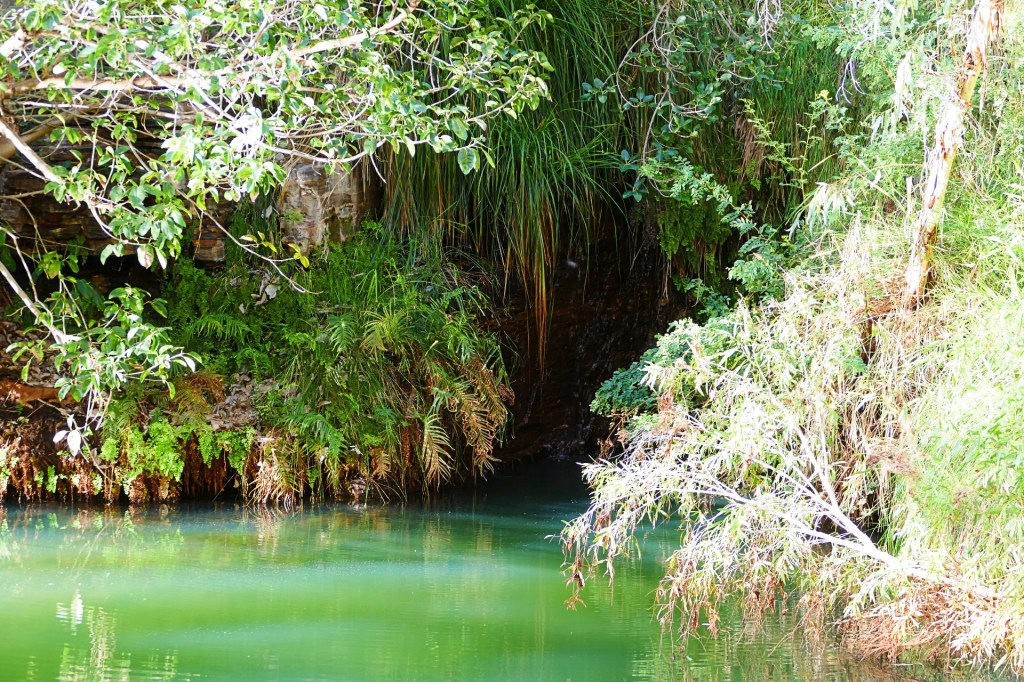
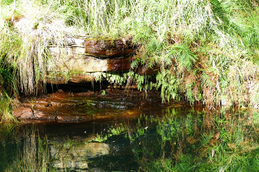
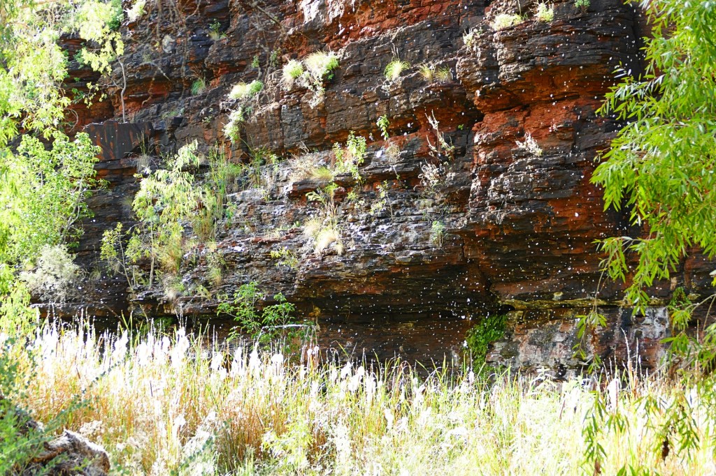
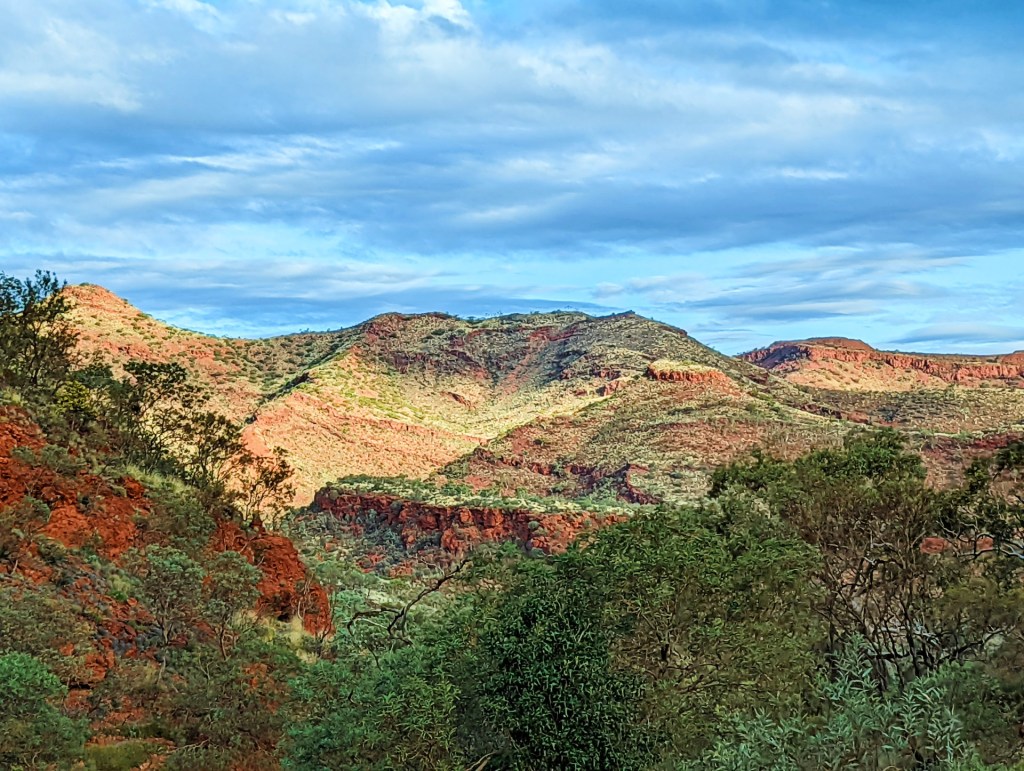
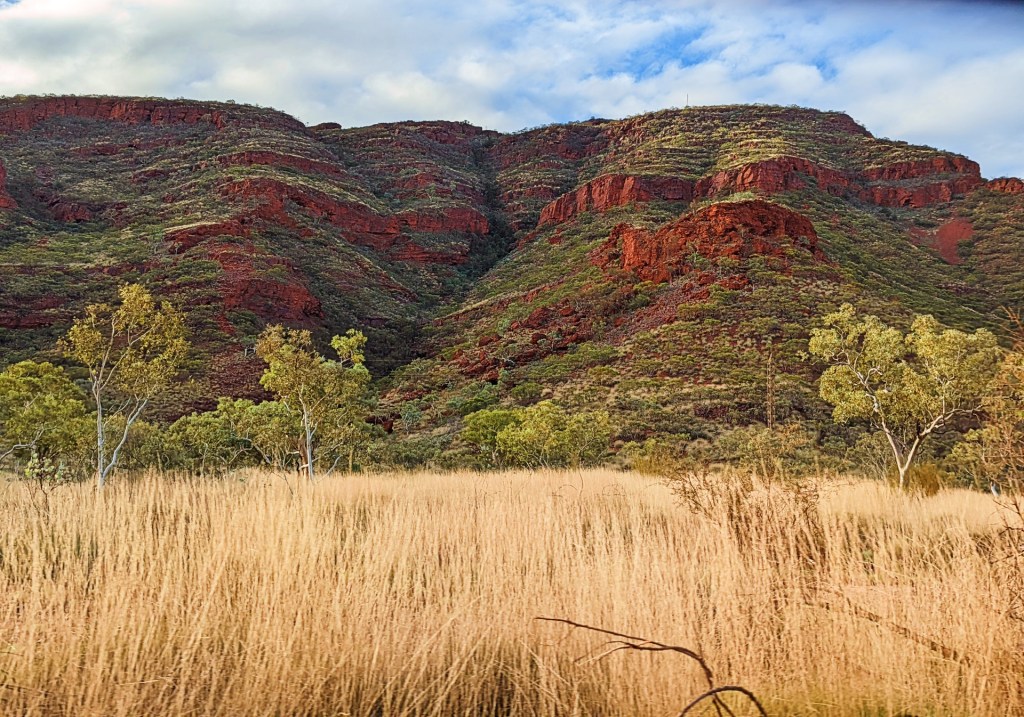
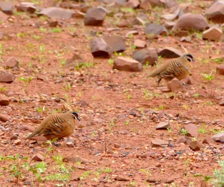
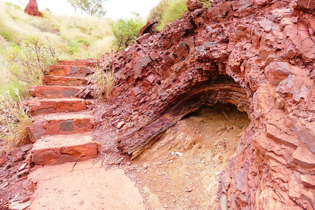
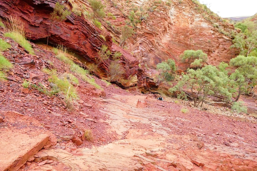
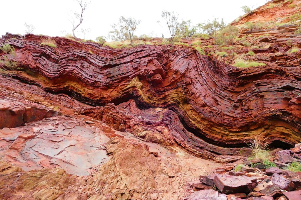
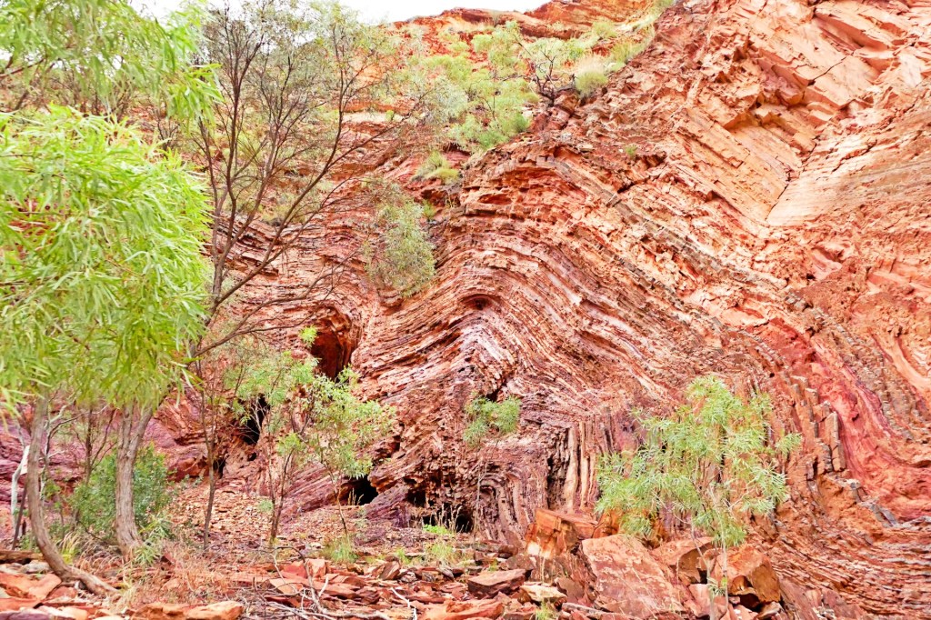
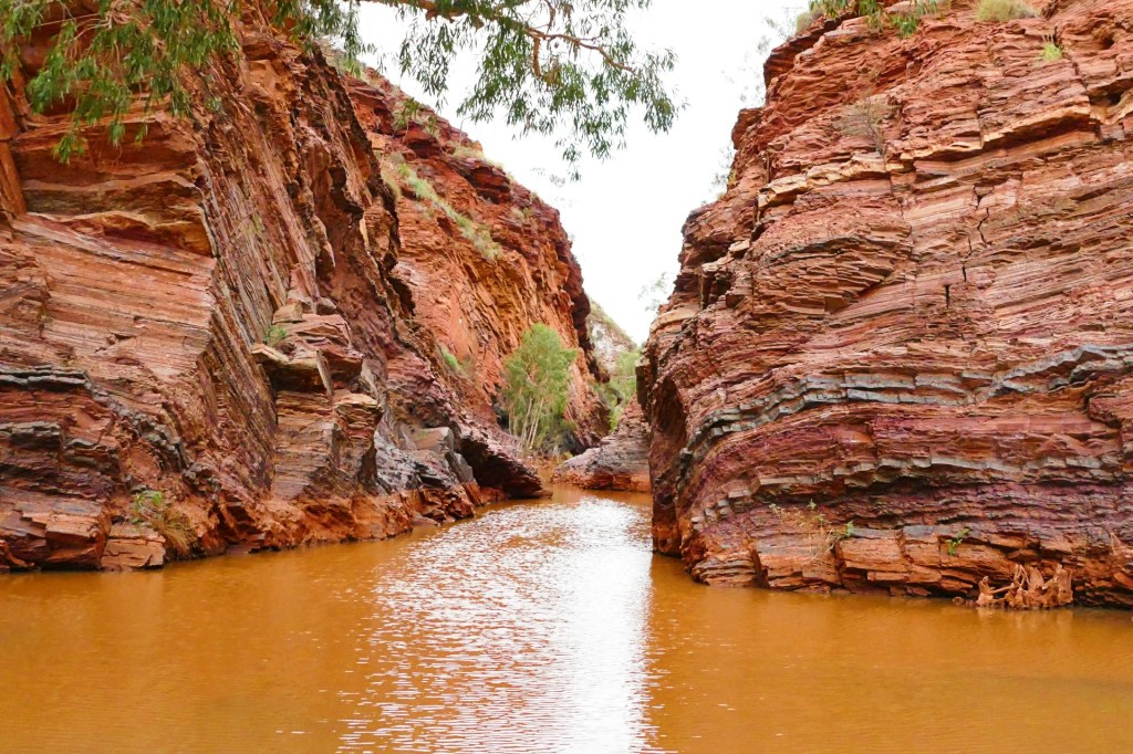
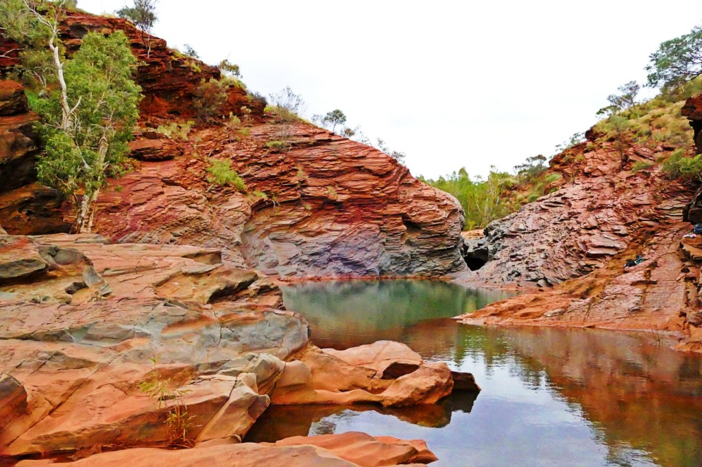
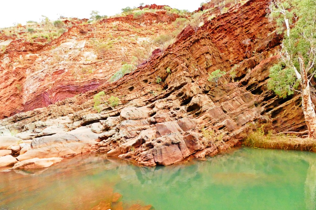
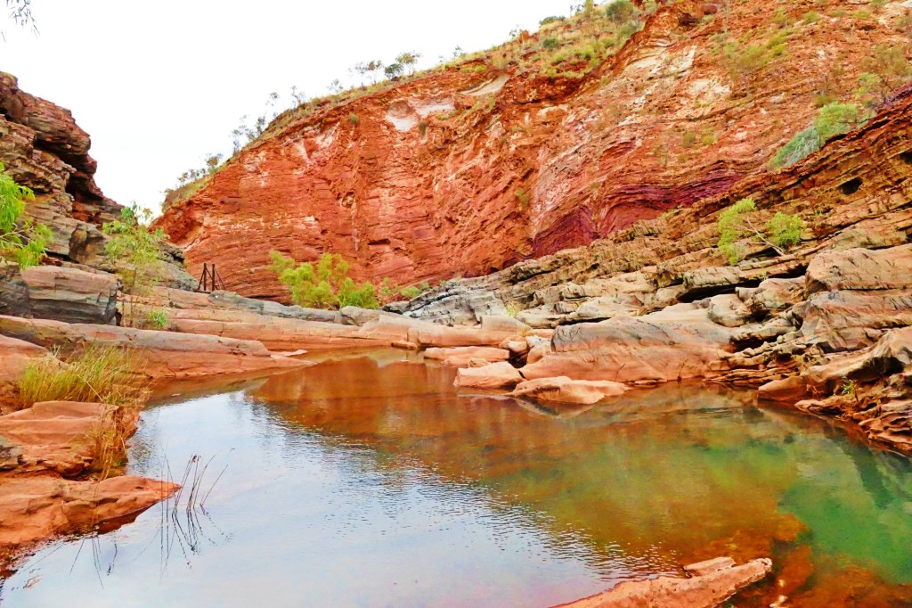
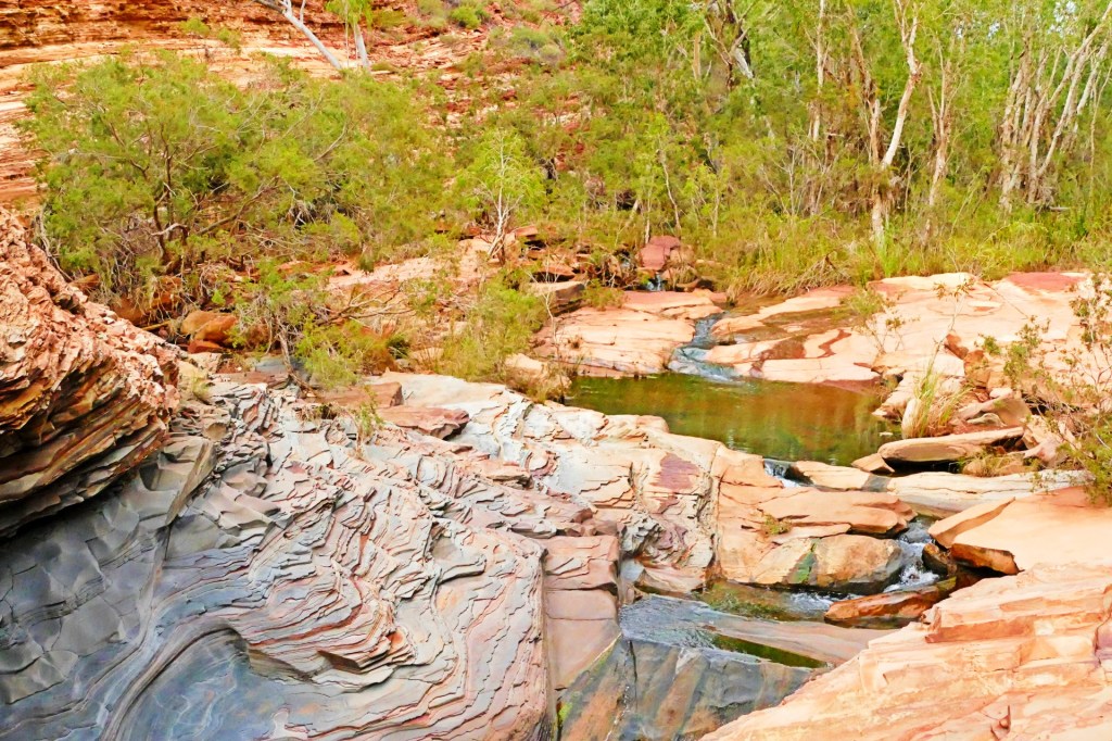
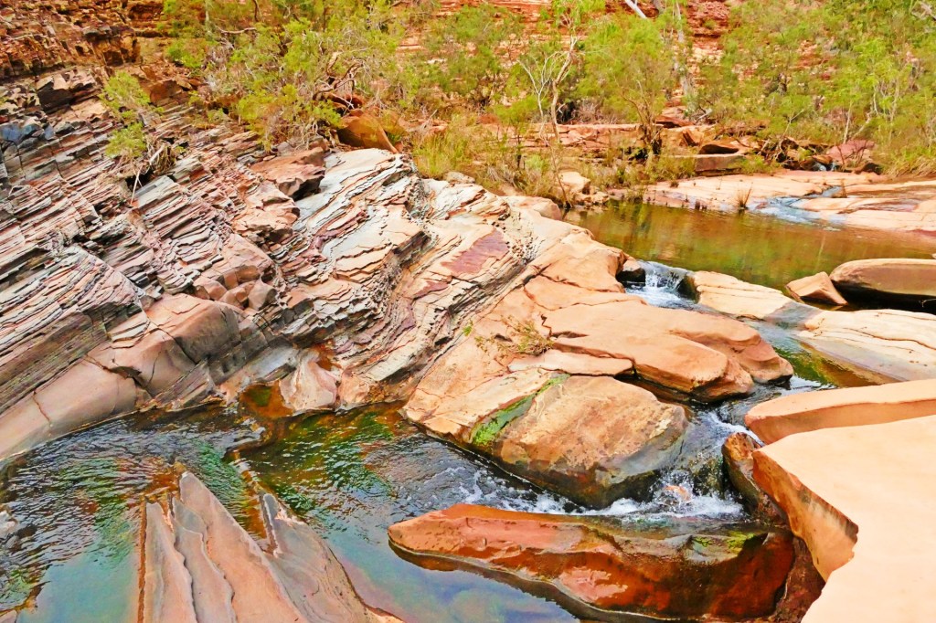
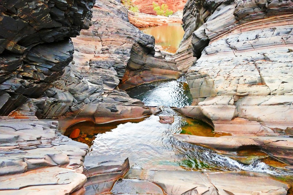
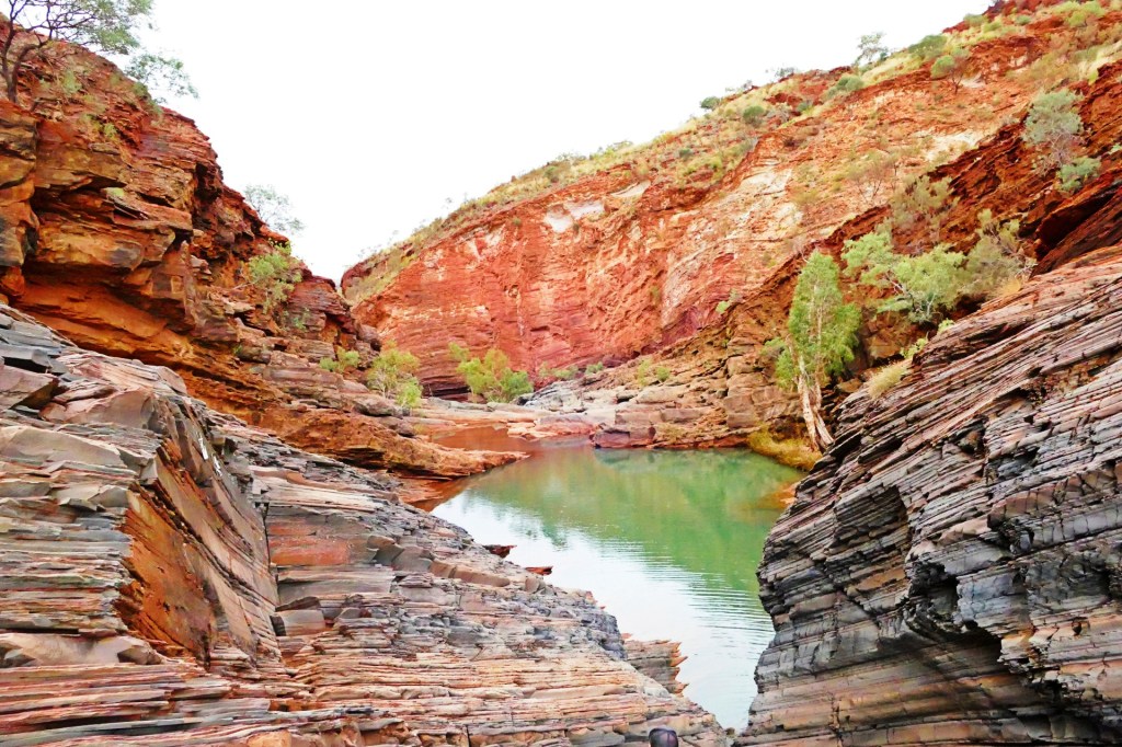
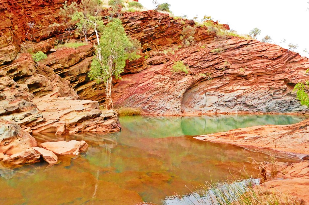
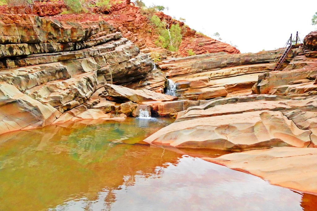
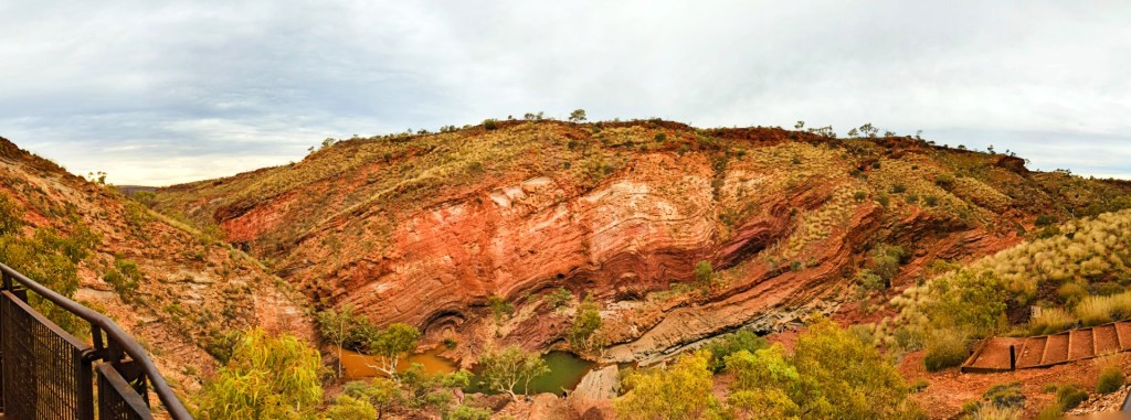
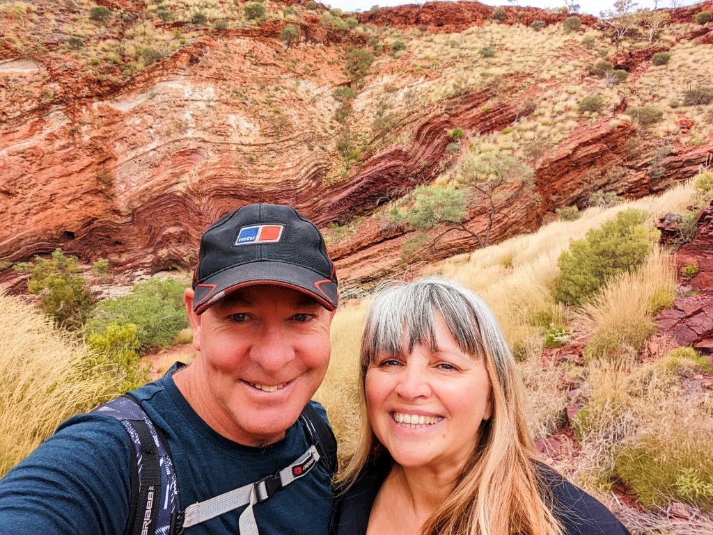
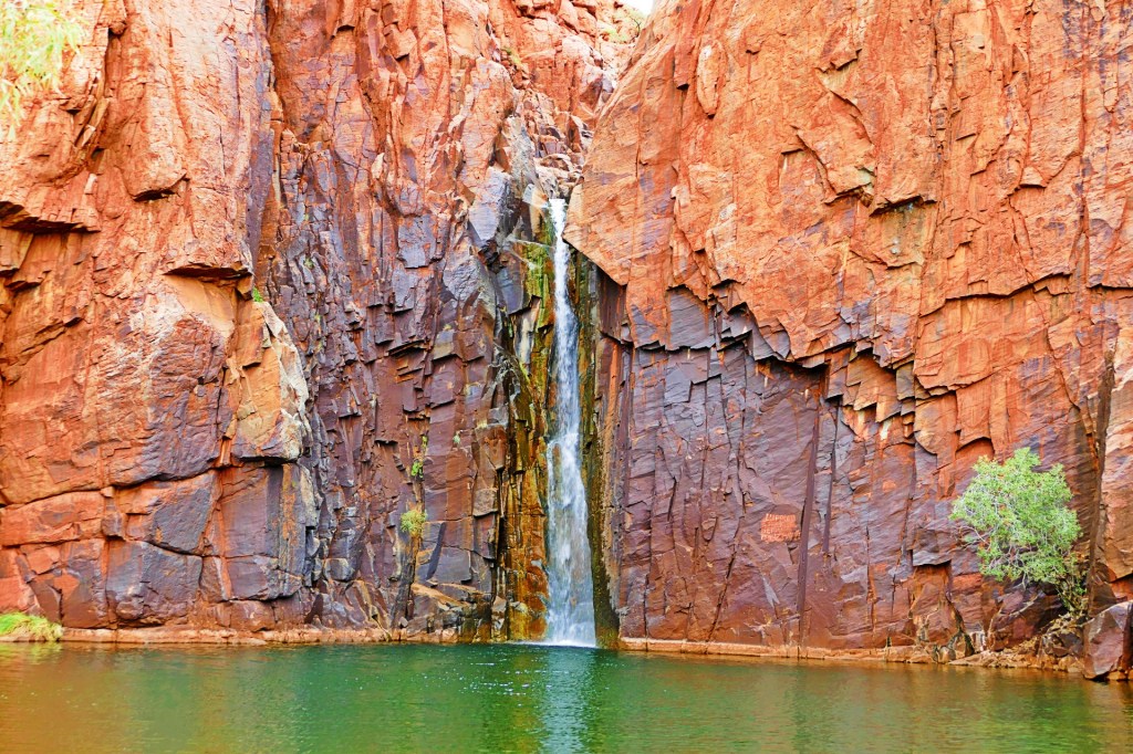
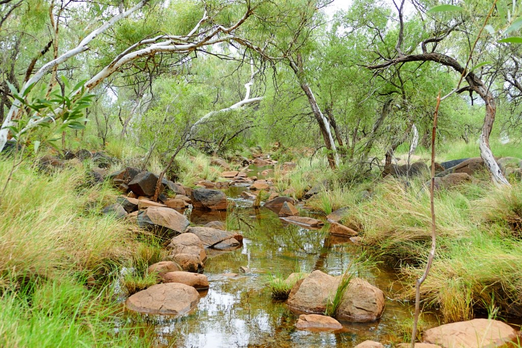
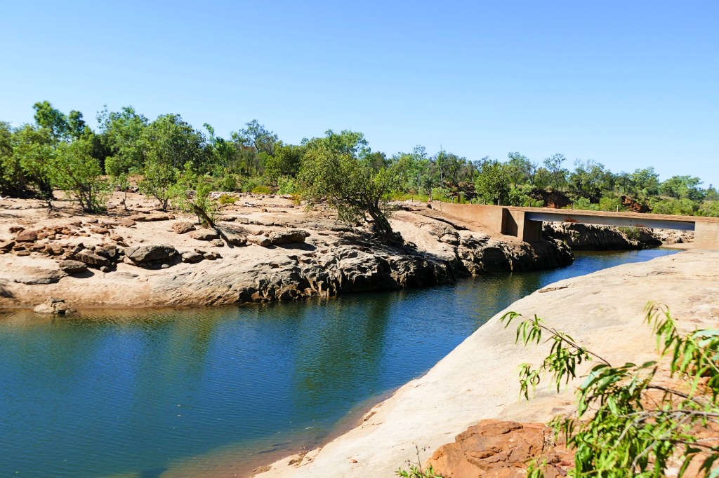
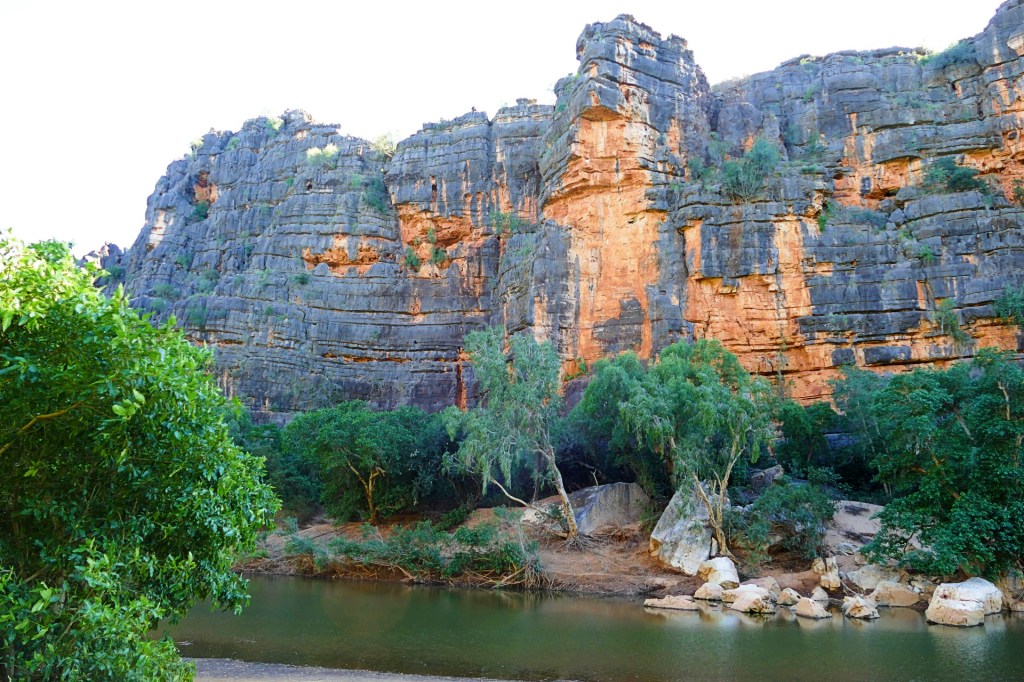
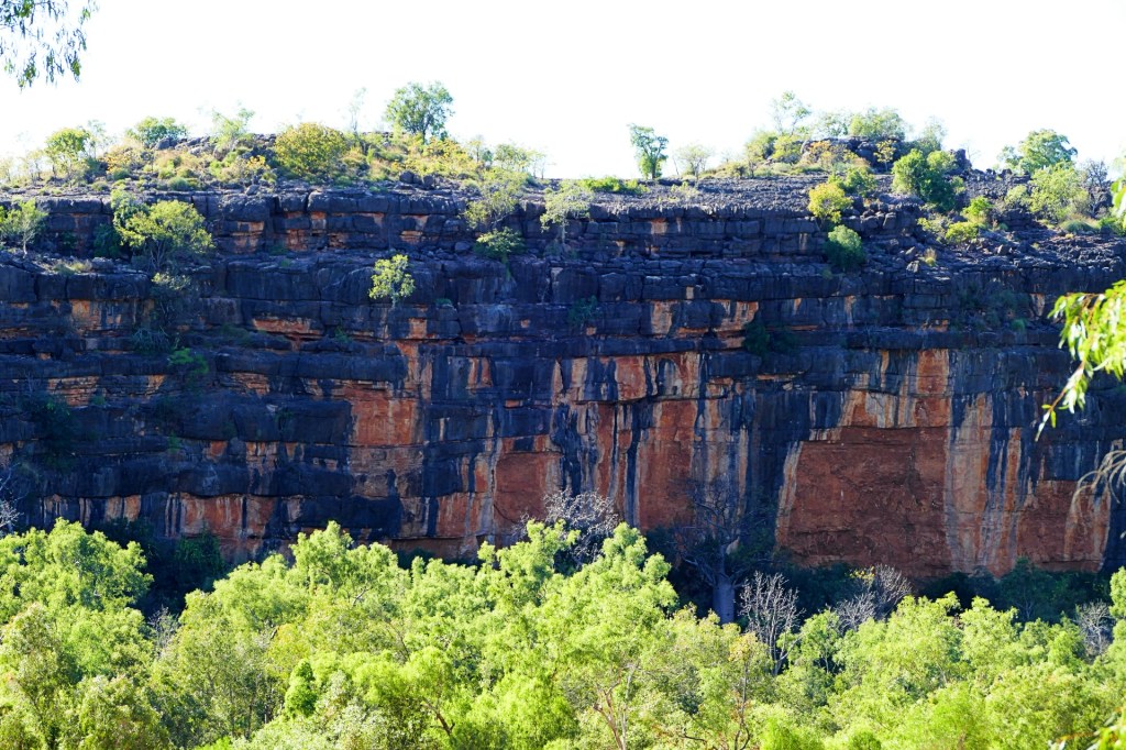
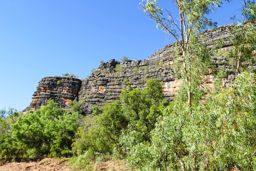
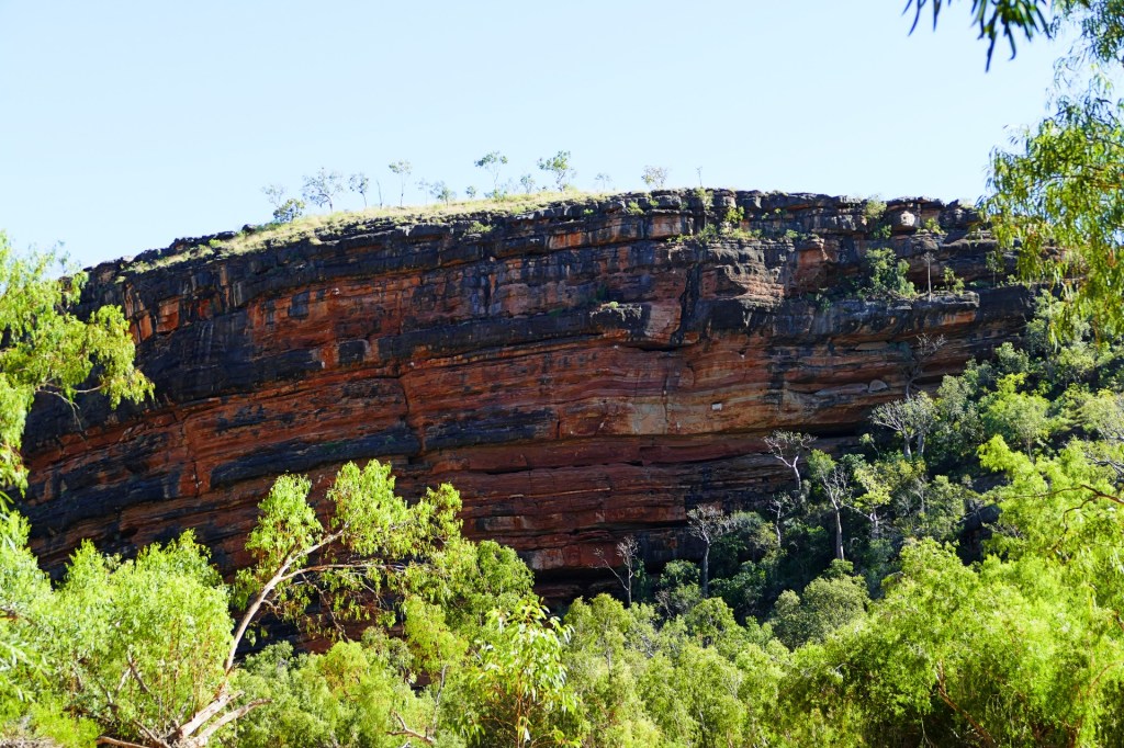
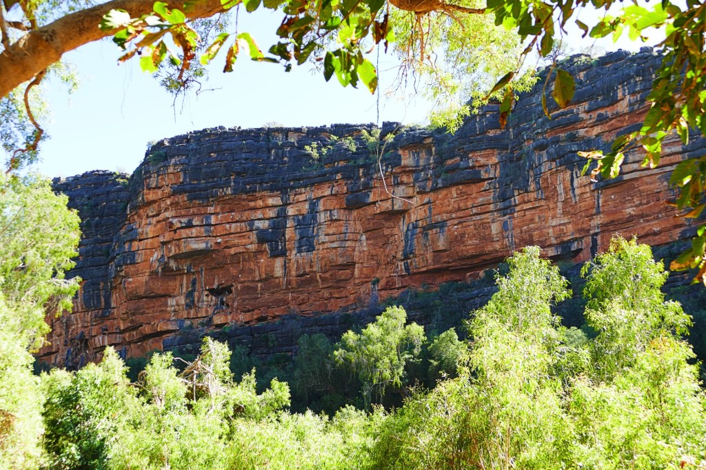
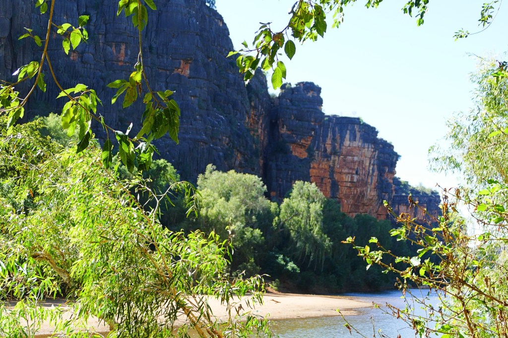
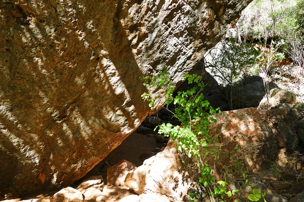
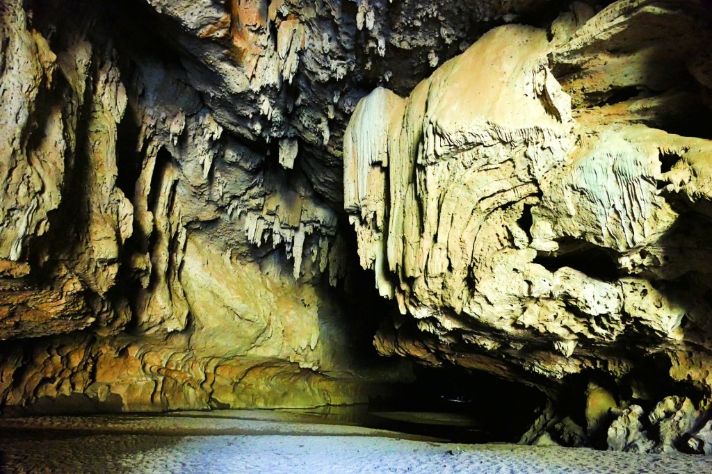
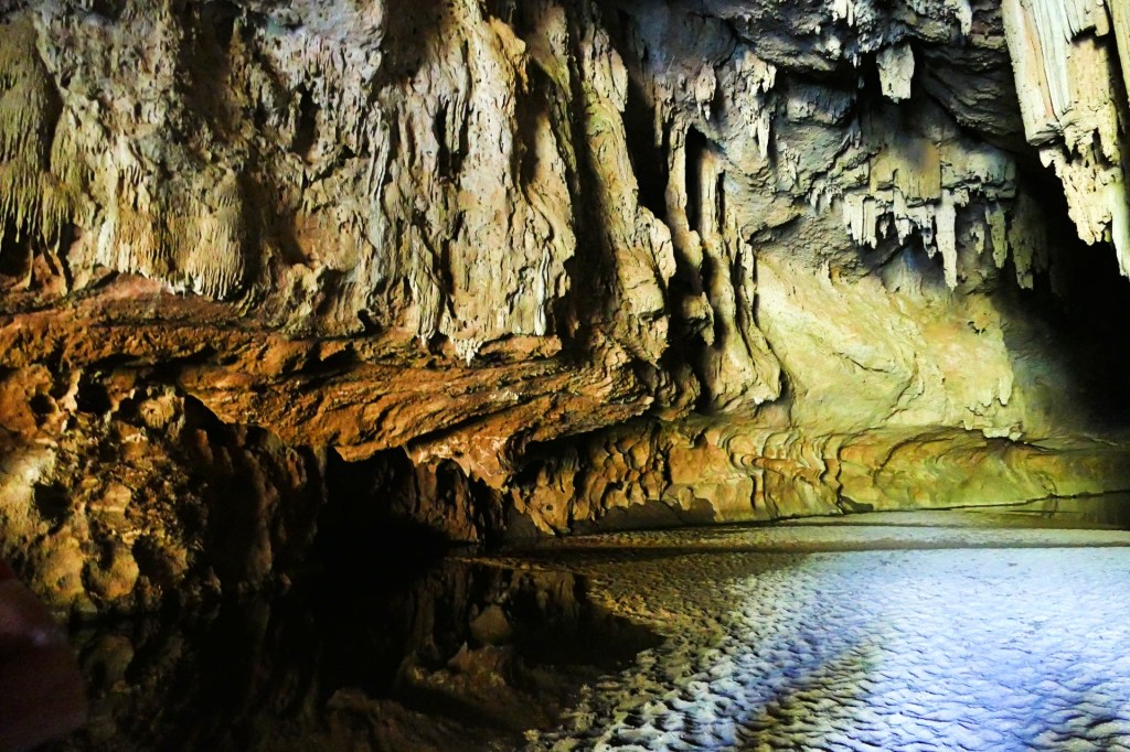
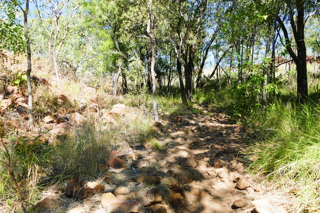
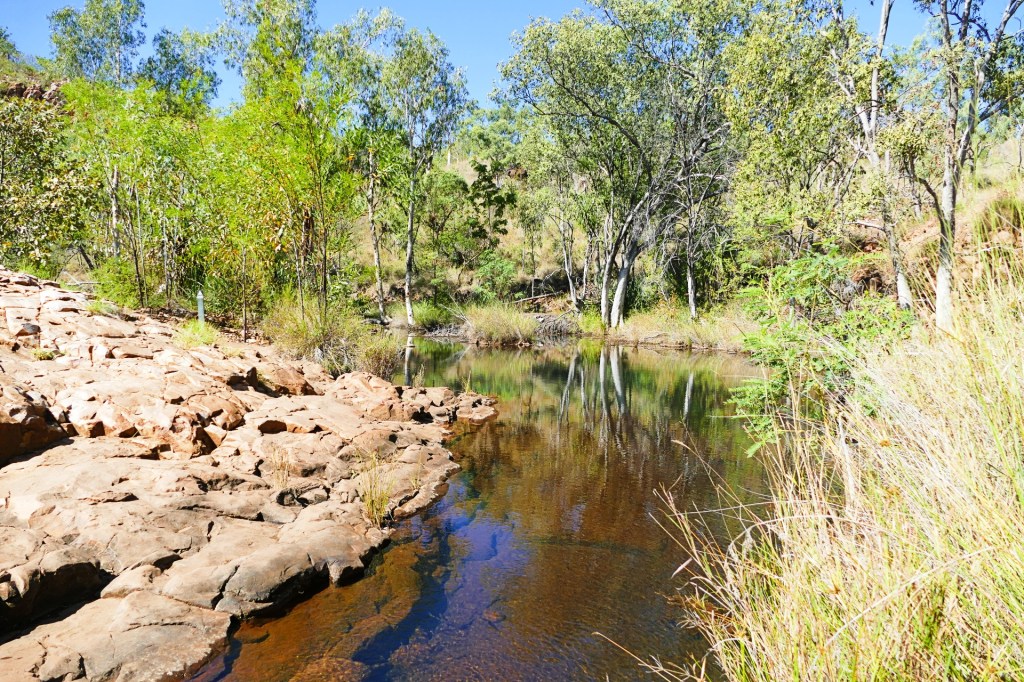
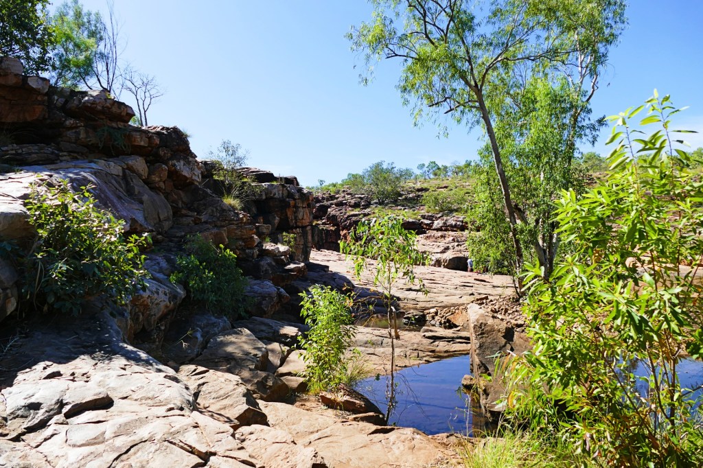
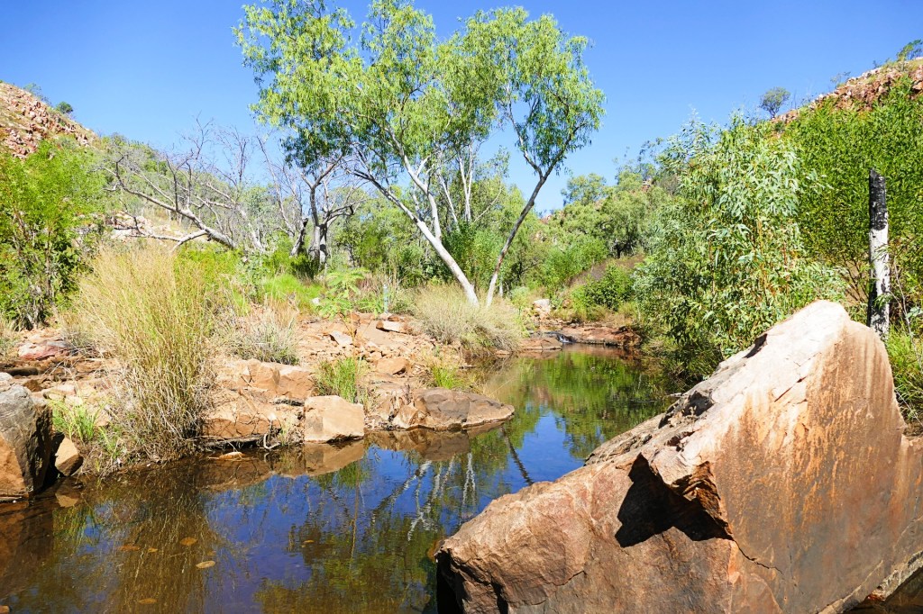
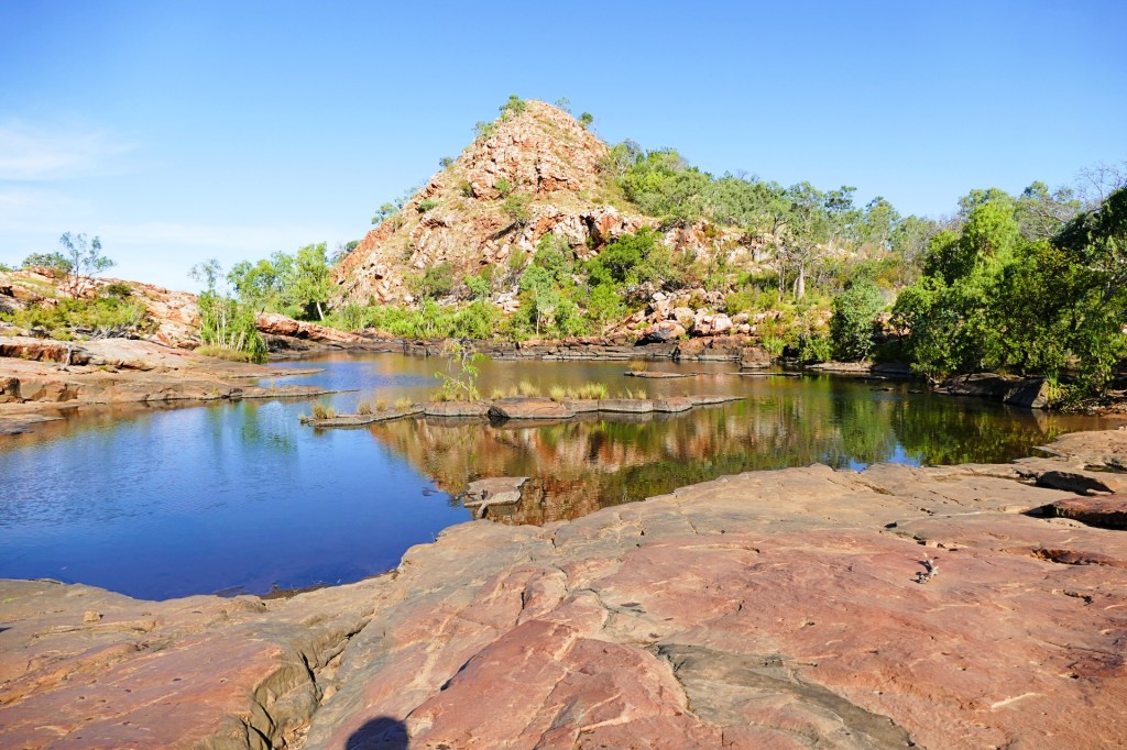
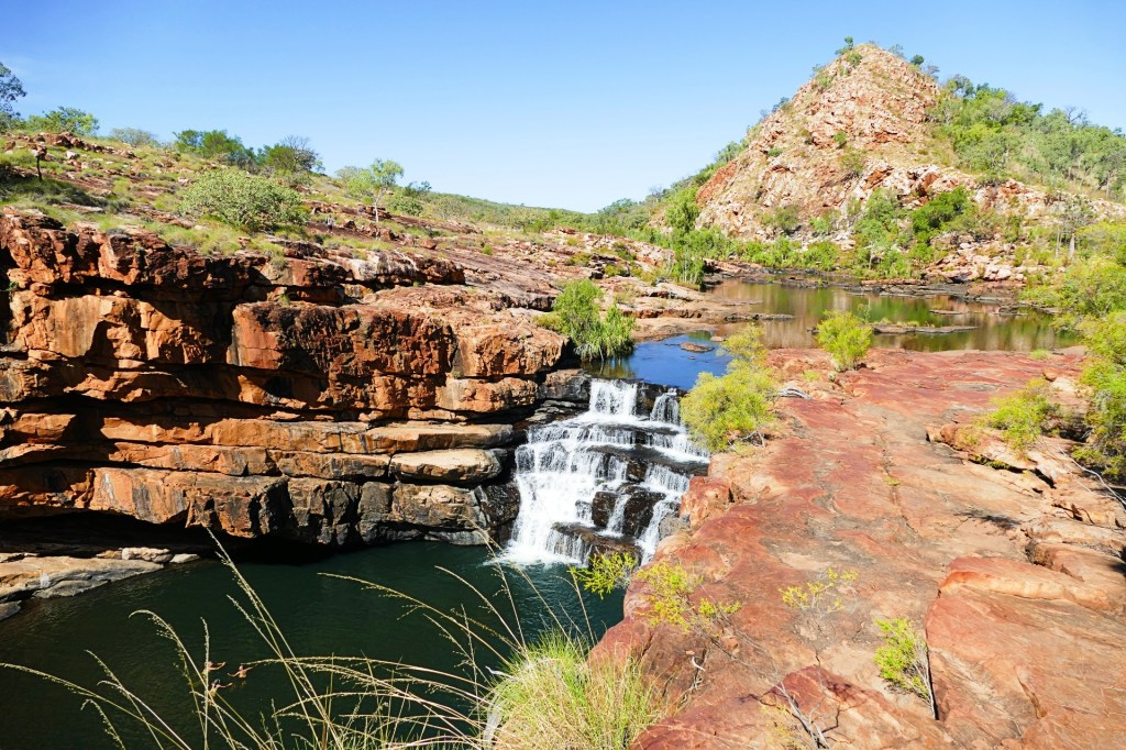
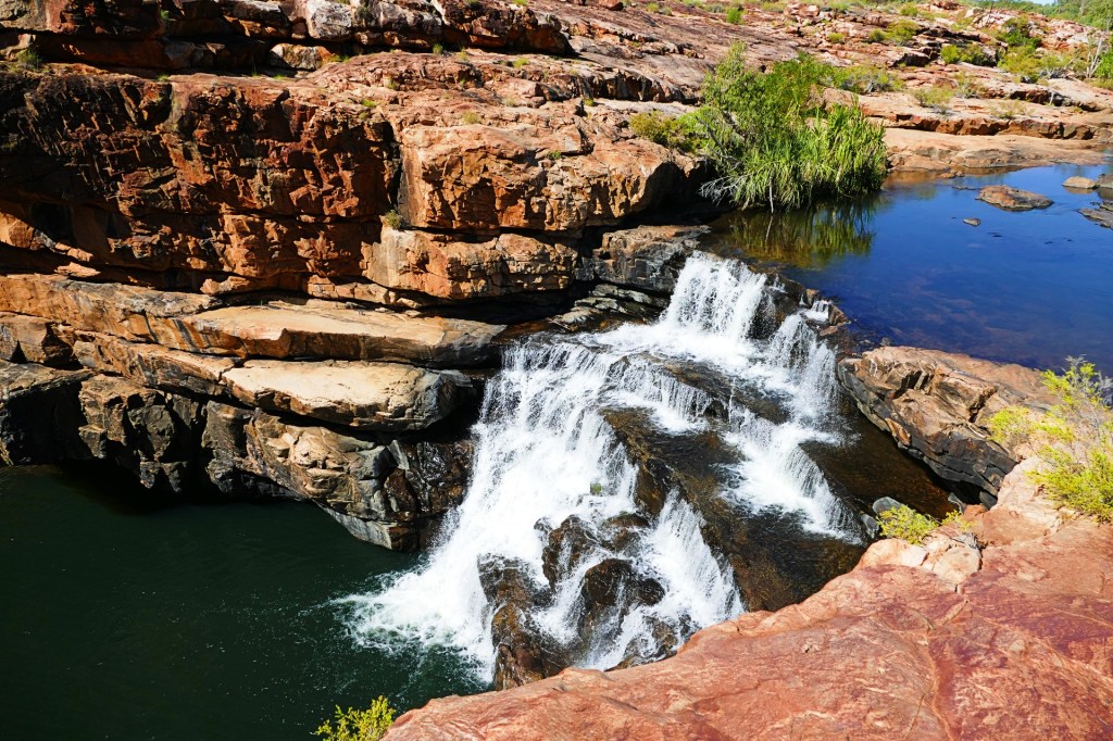
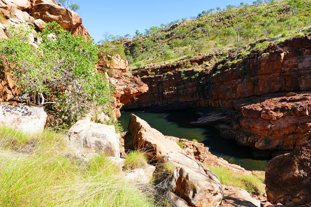
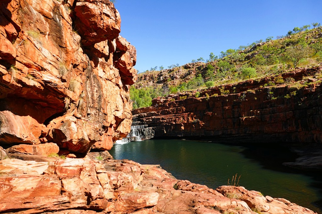
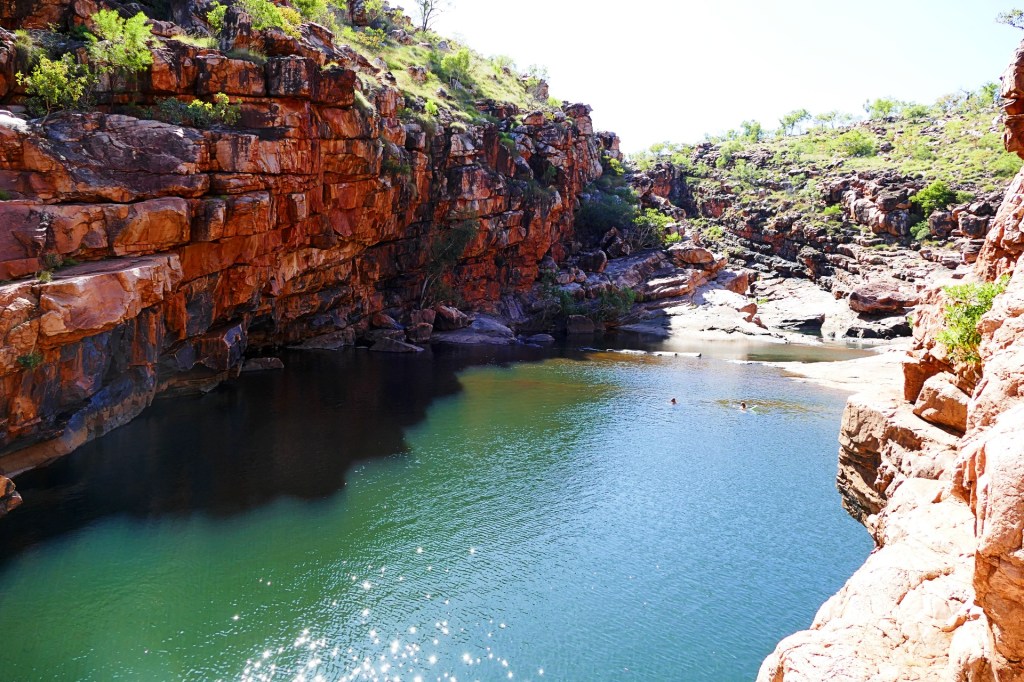
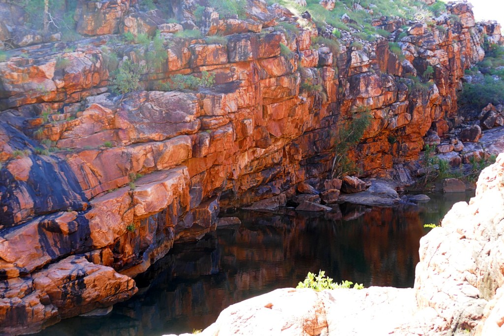
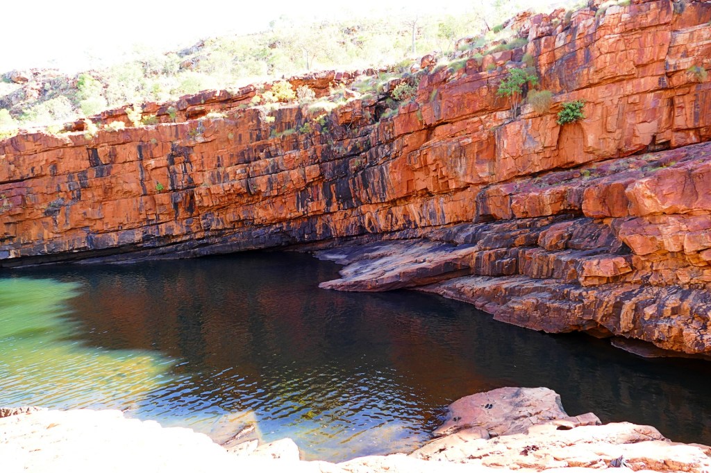
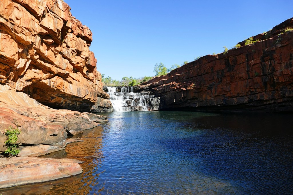
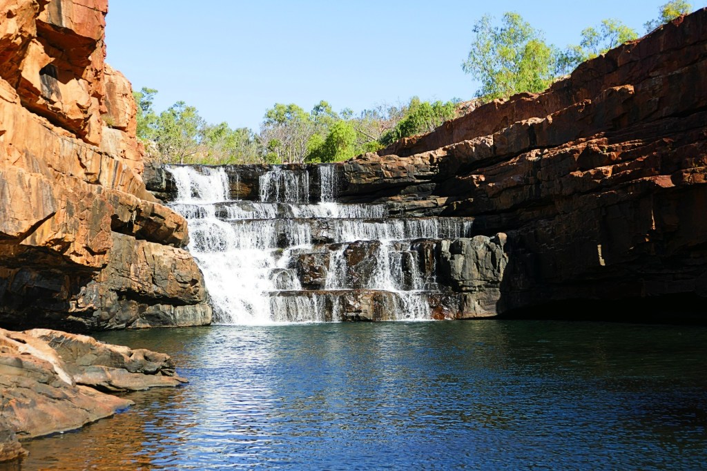
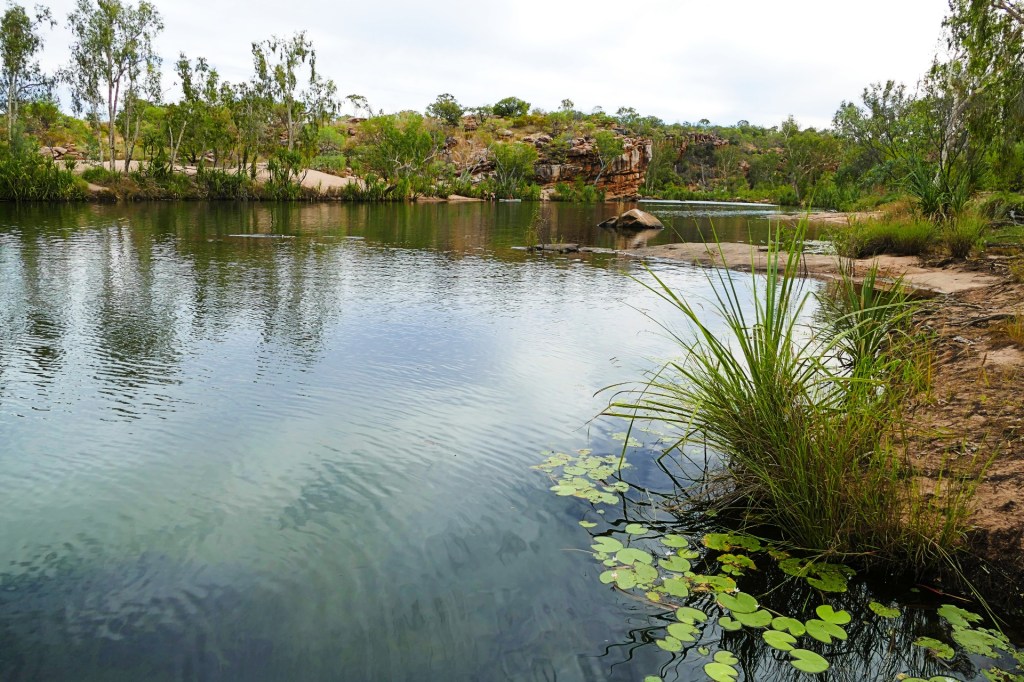
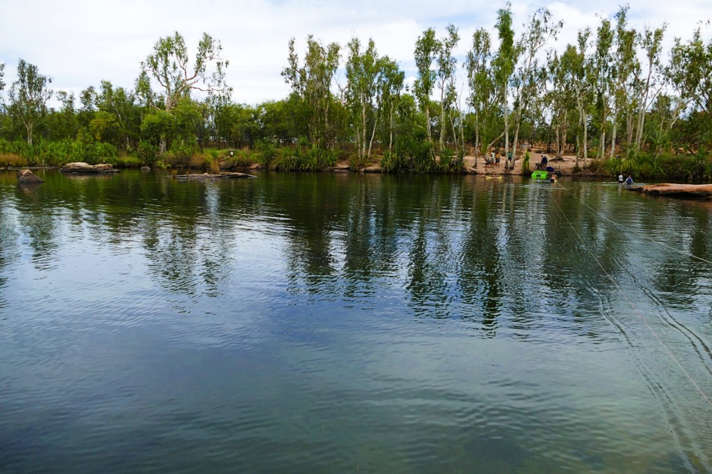
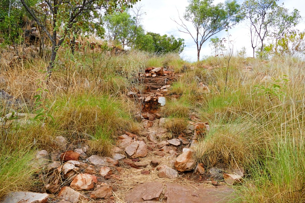
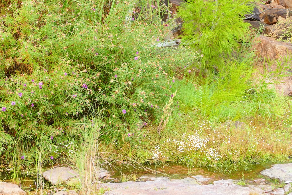
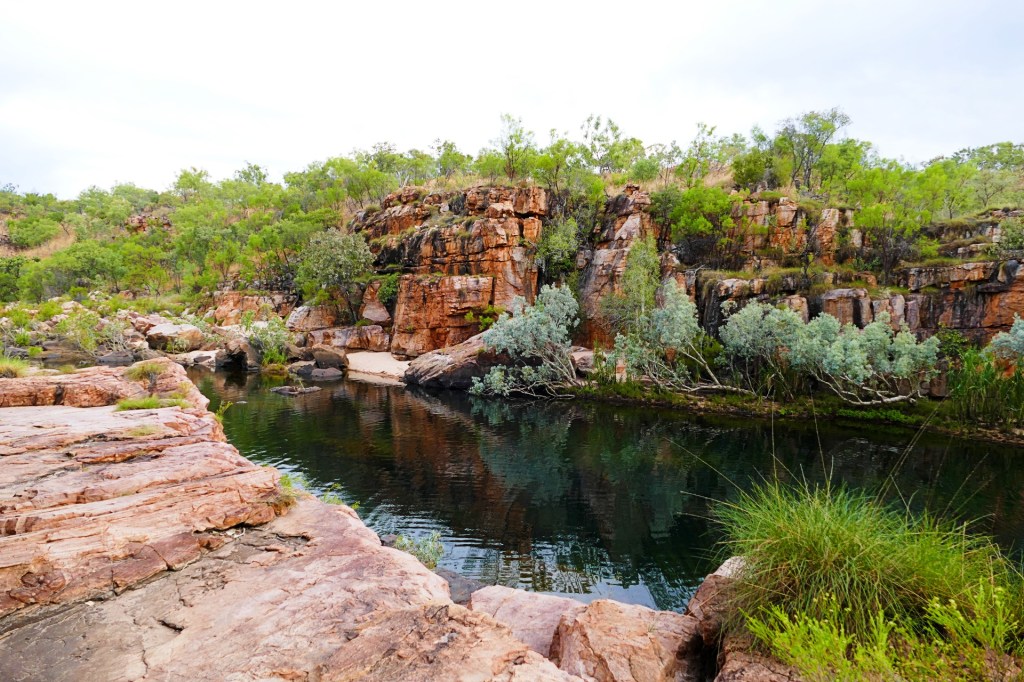
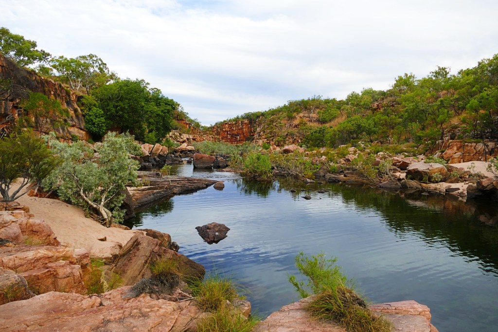
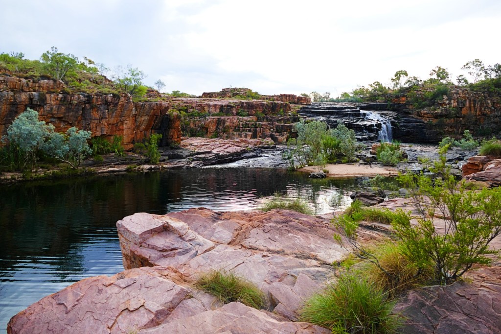
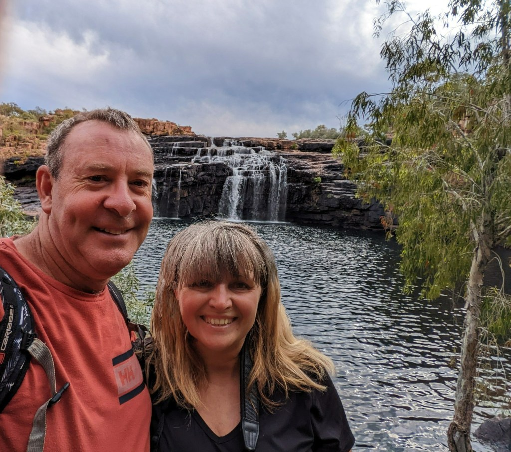
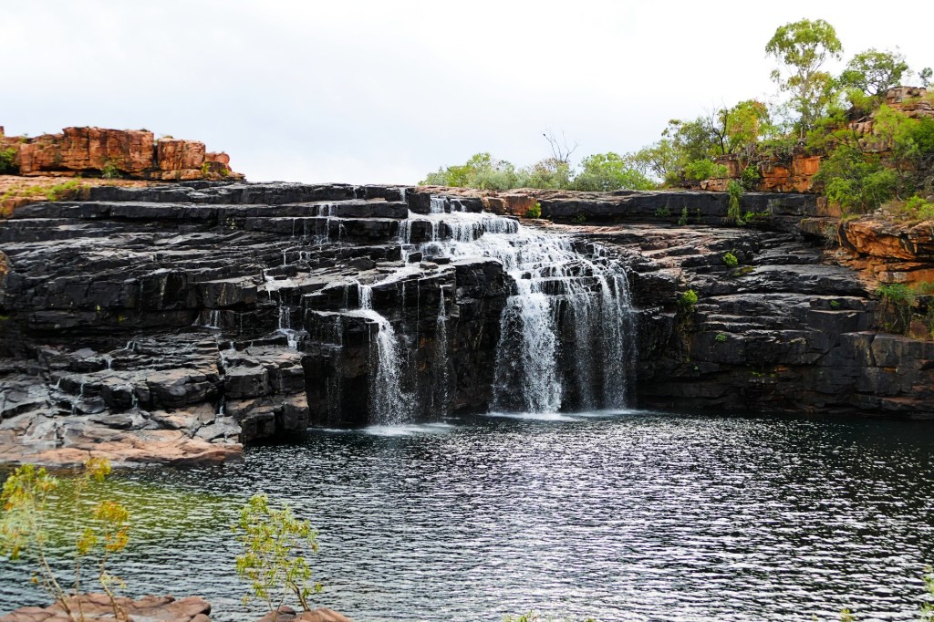
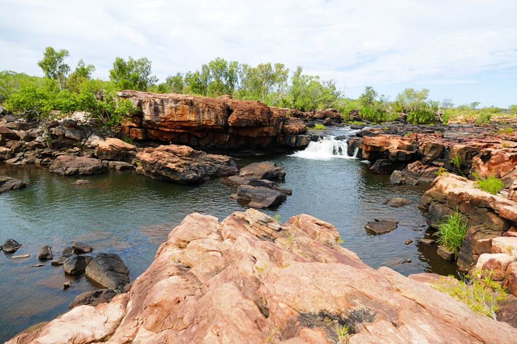
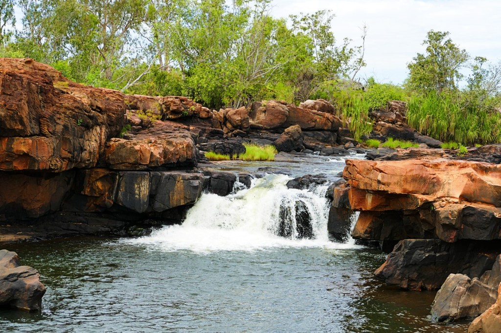
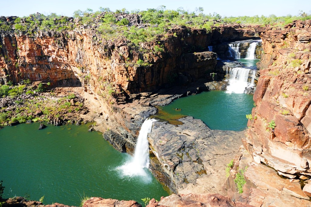
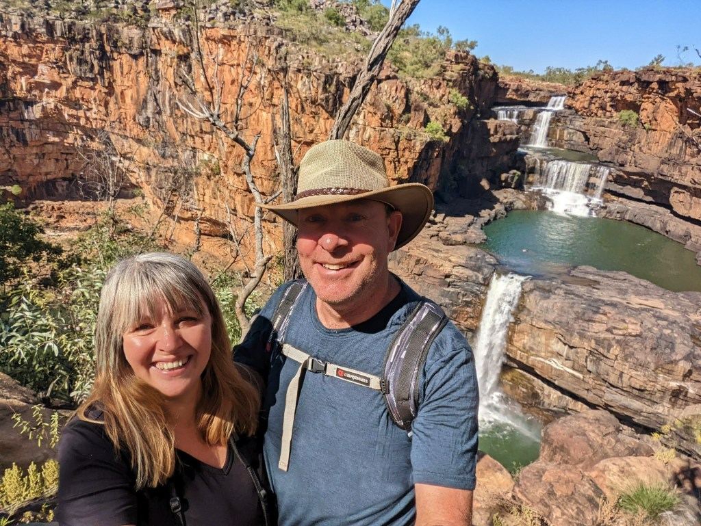
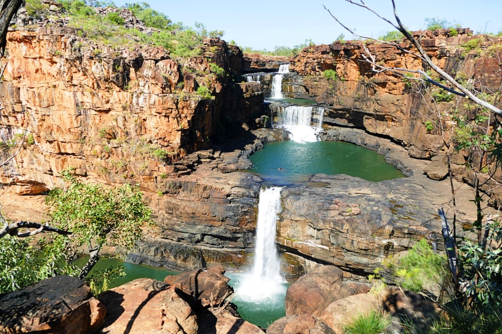
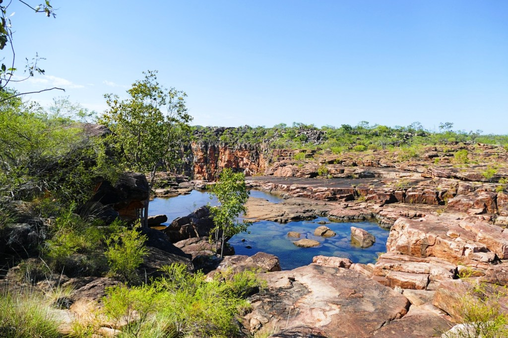
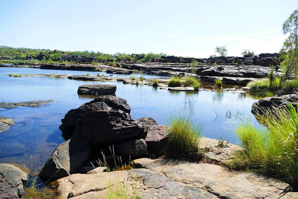
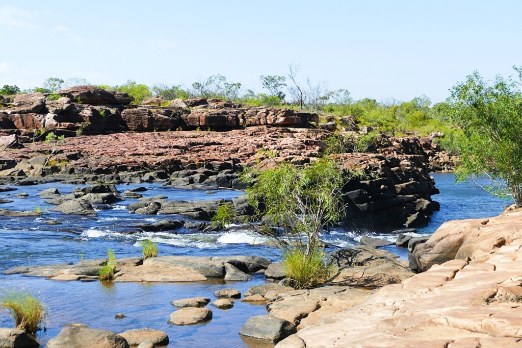
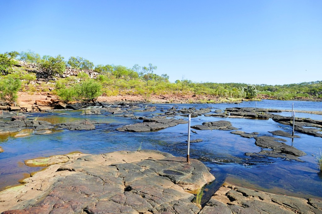
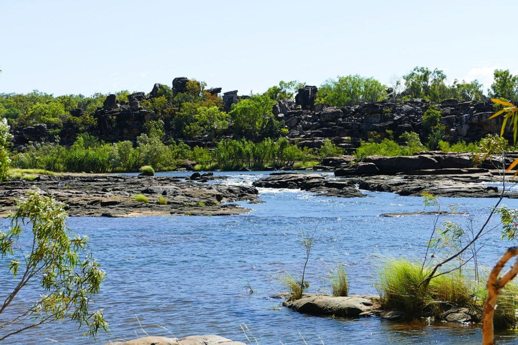
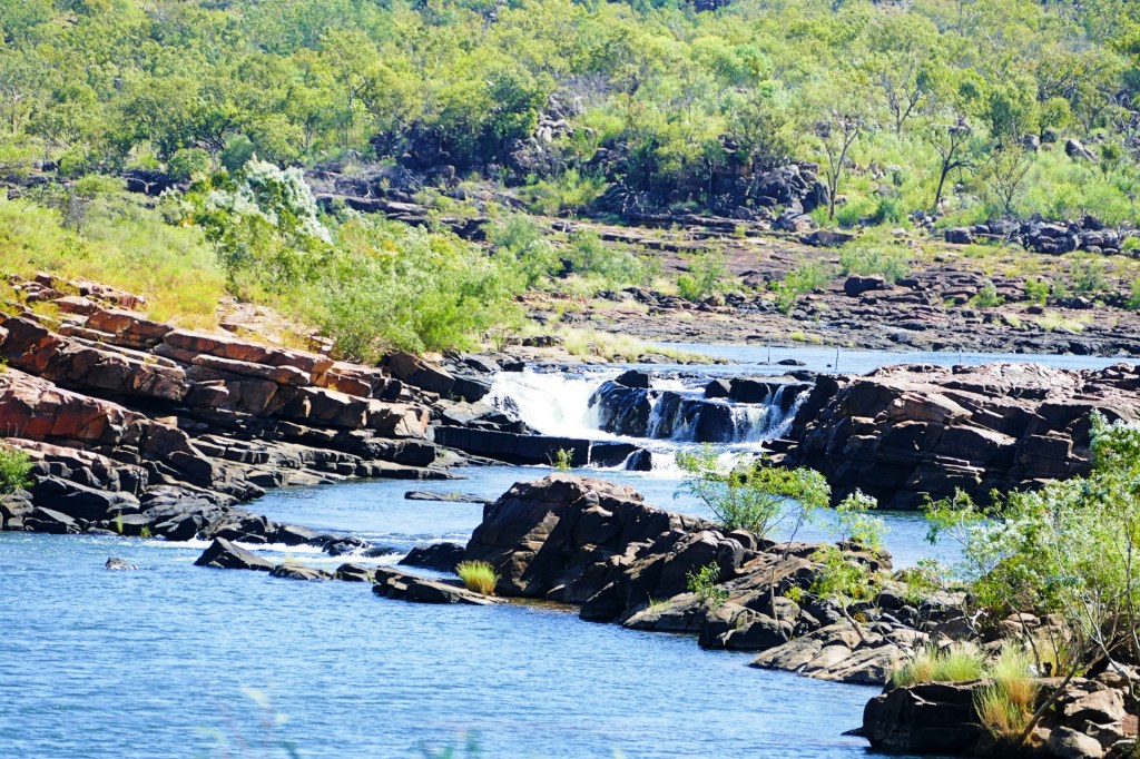
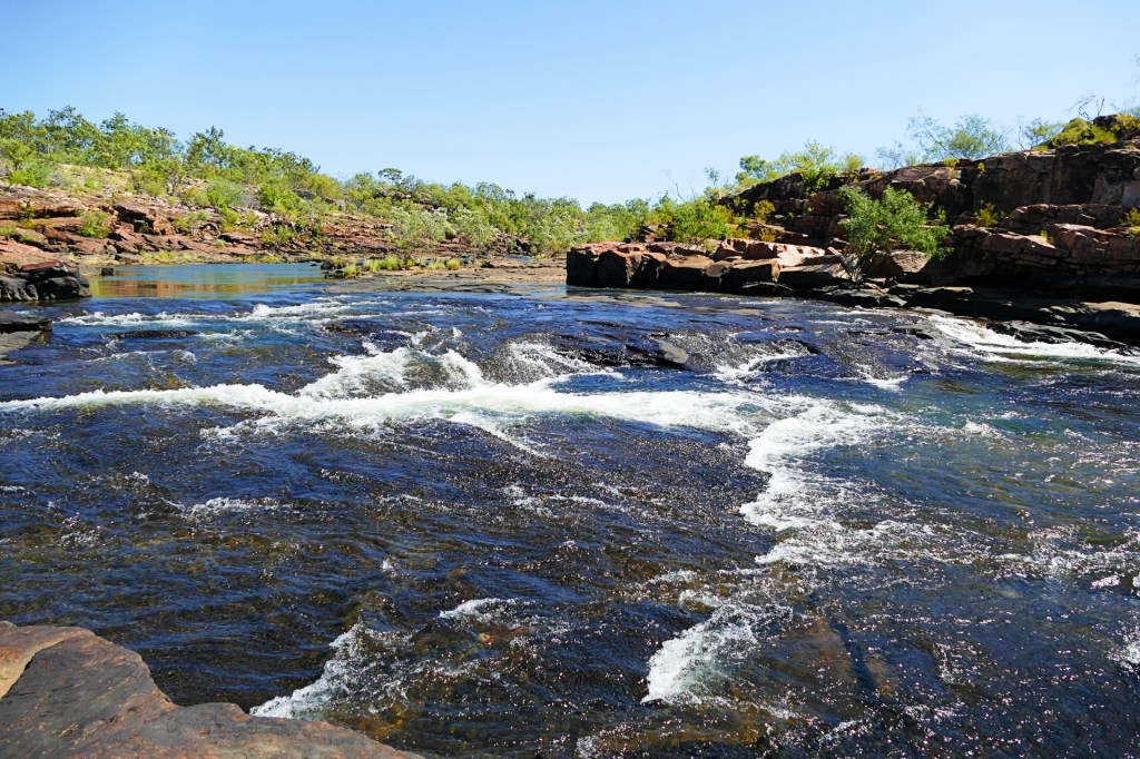
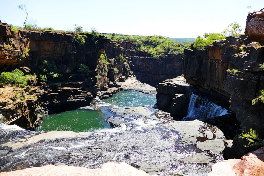
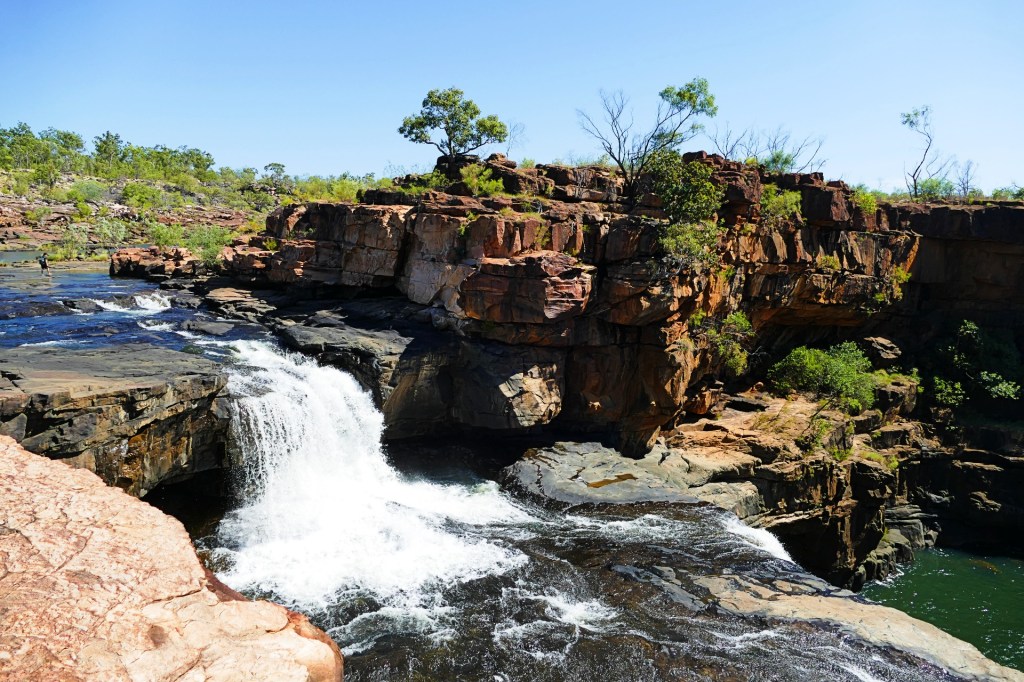
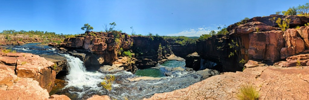
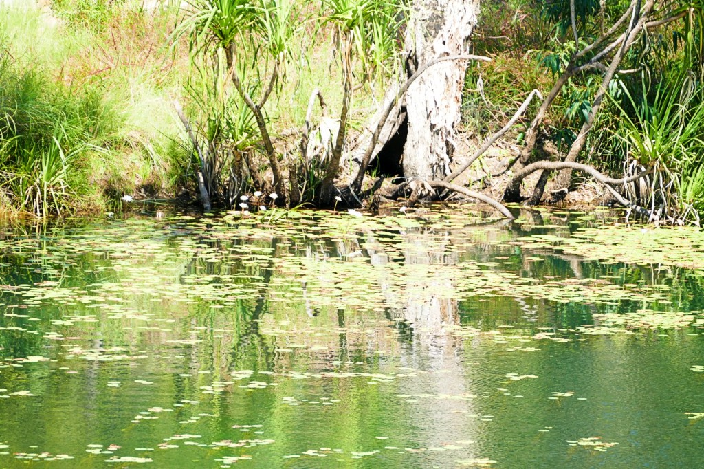
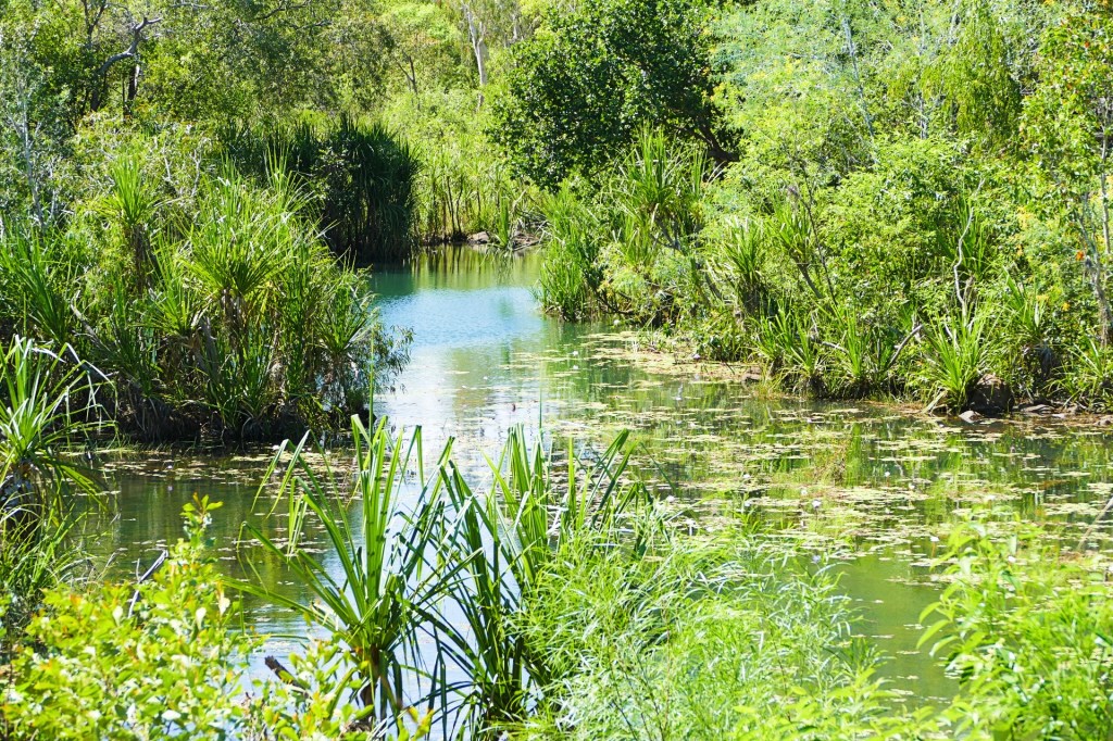
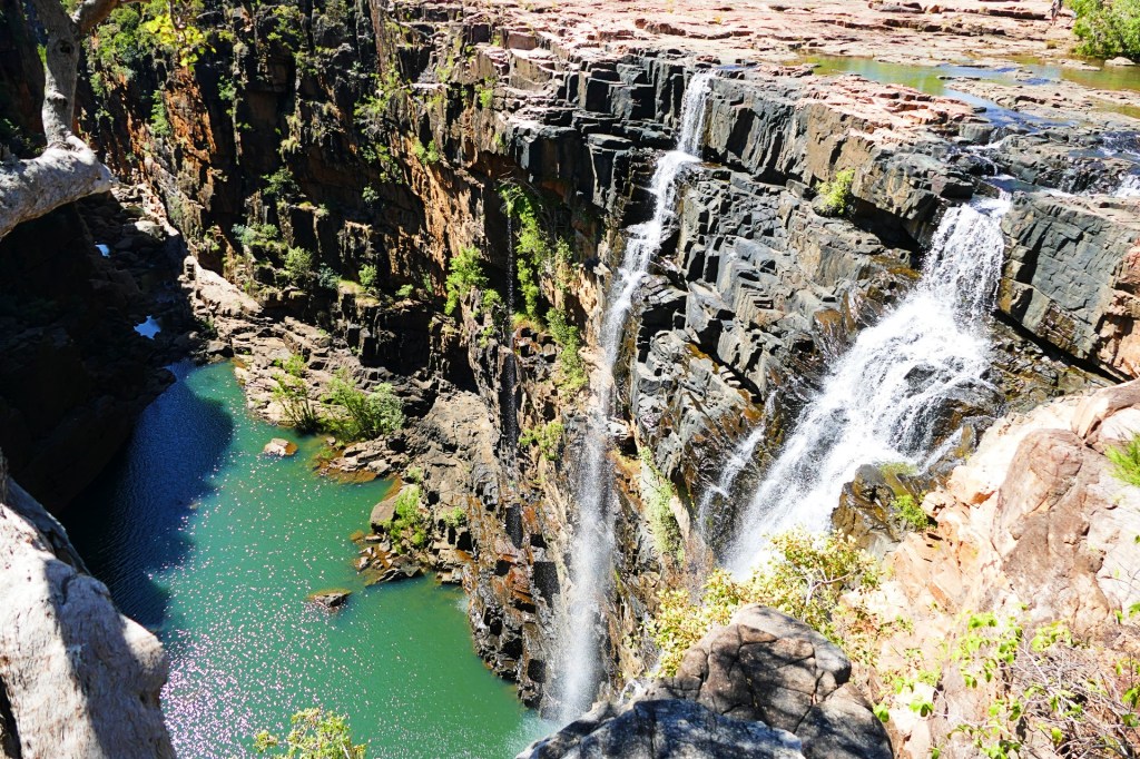
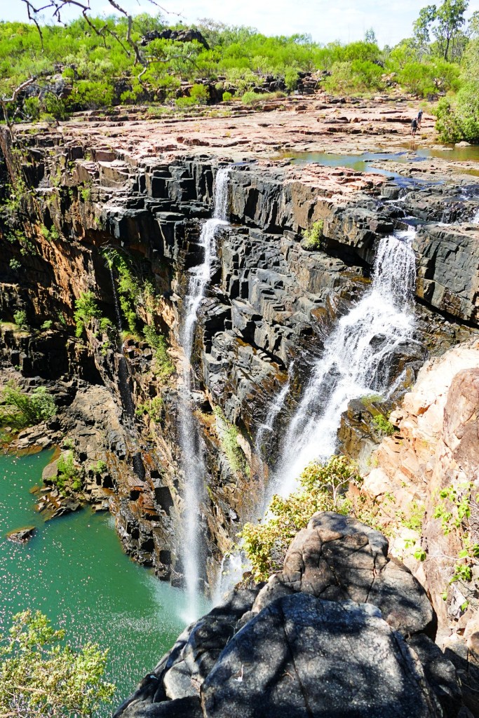
Once we finally reached Karajini, we visited the information office and got some tips on the best places to visit during our 3 days there. We were camped at the Dale Camp ground and the first places to visit were around the Dale Gorge, the first place we visited was Fortescue Falls. This was not a hard place to get to, lots of stairs, but they are easy stairs.
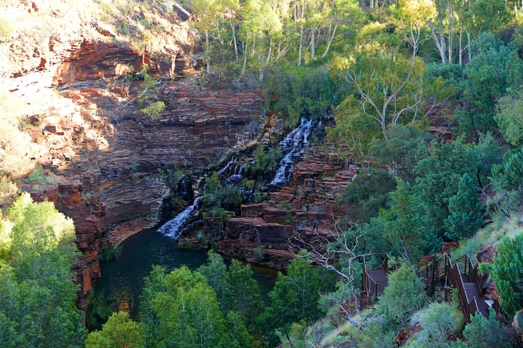
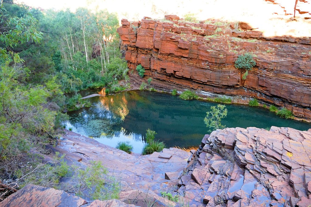
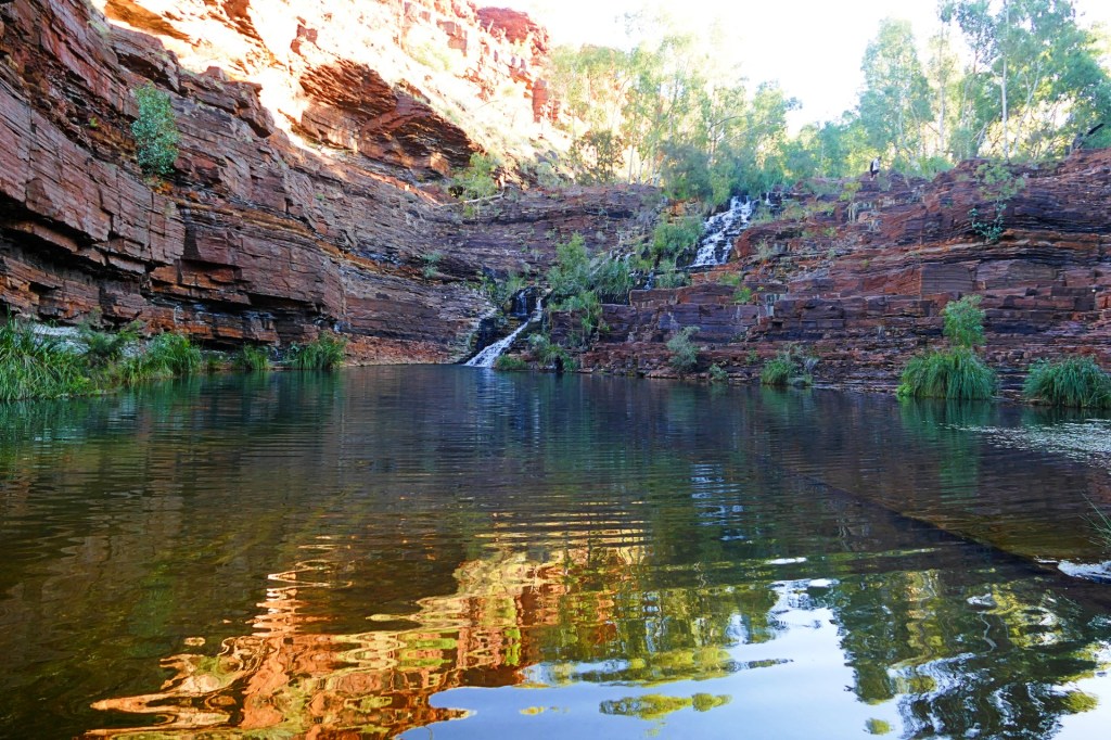
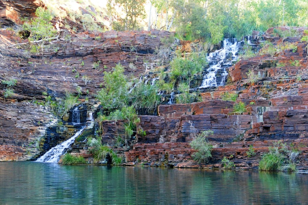
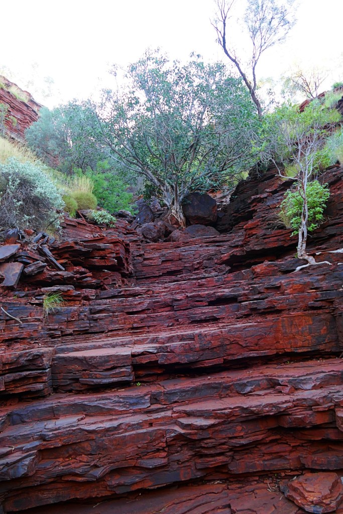
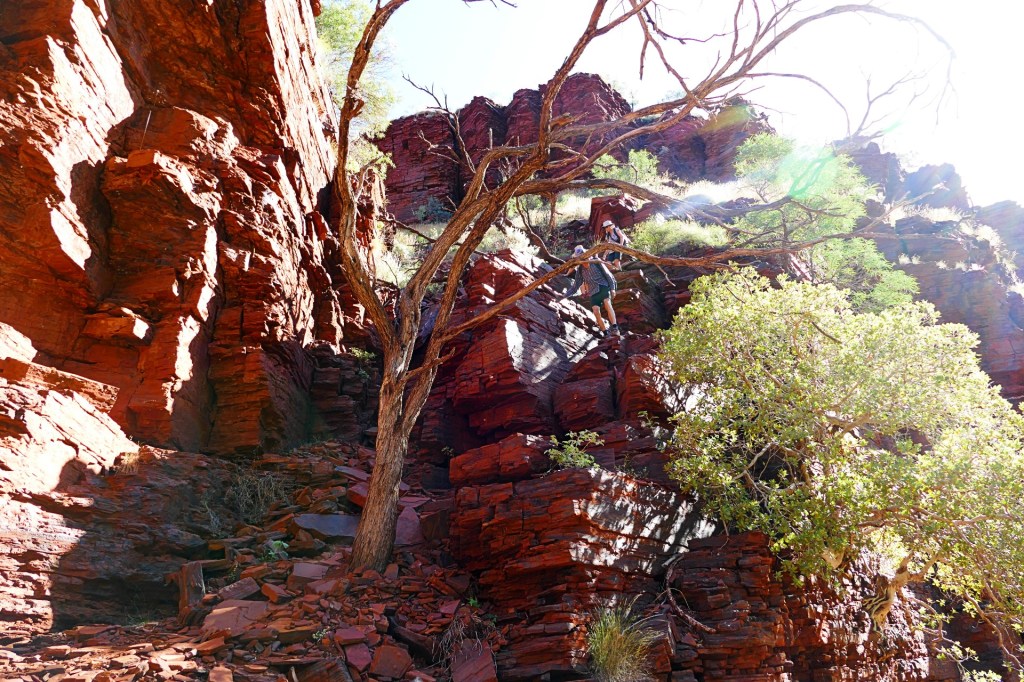
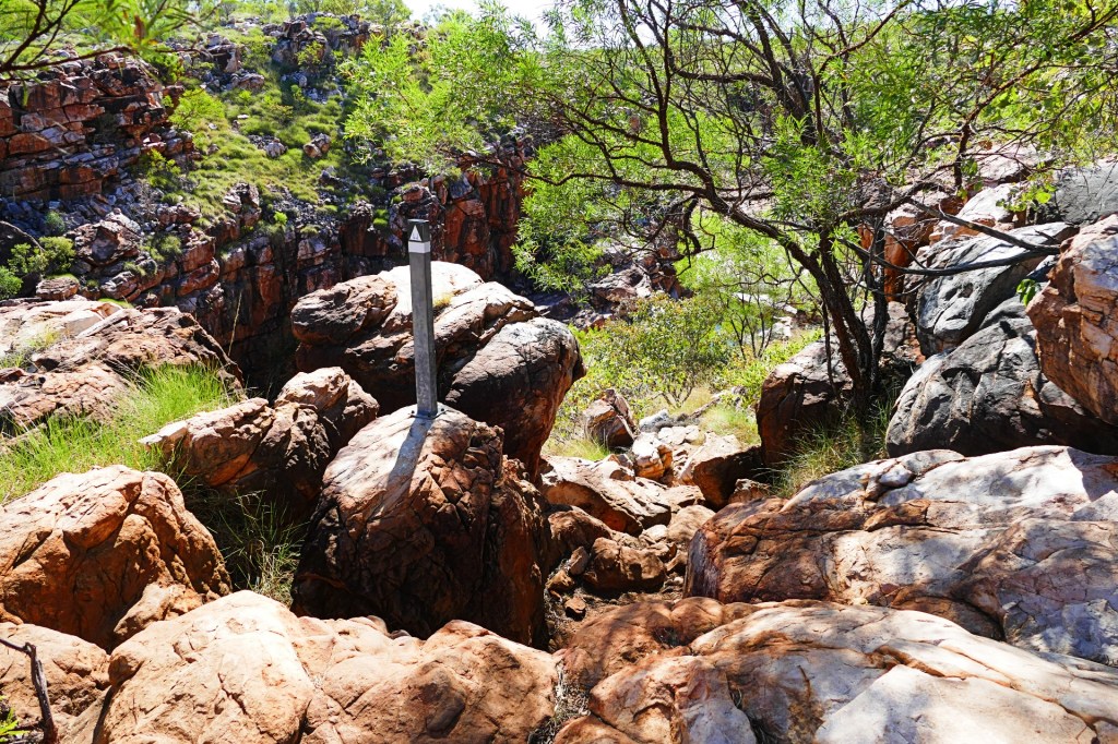
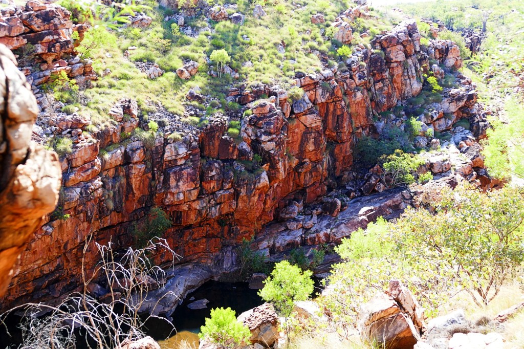
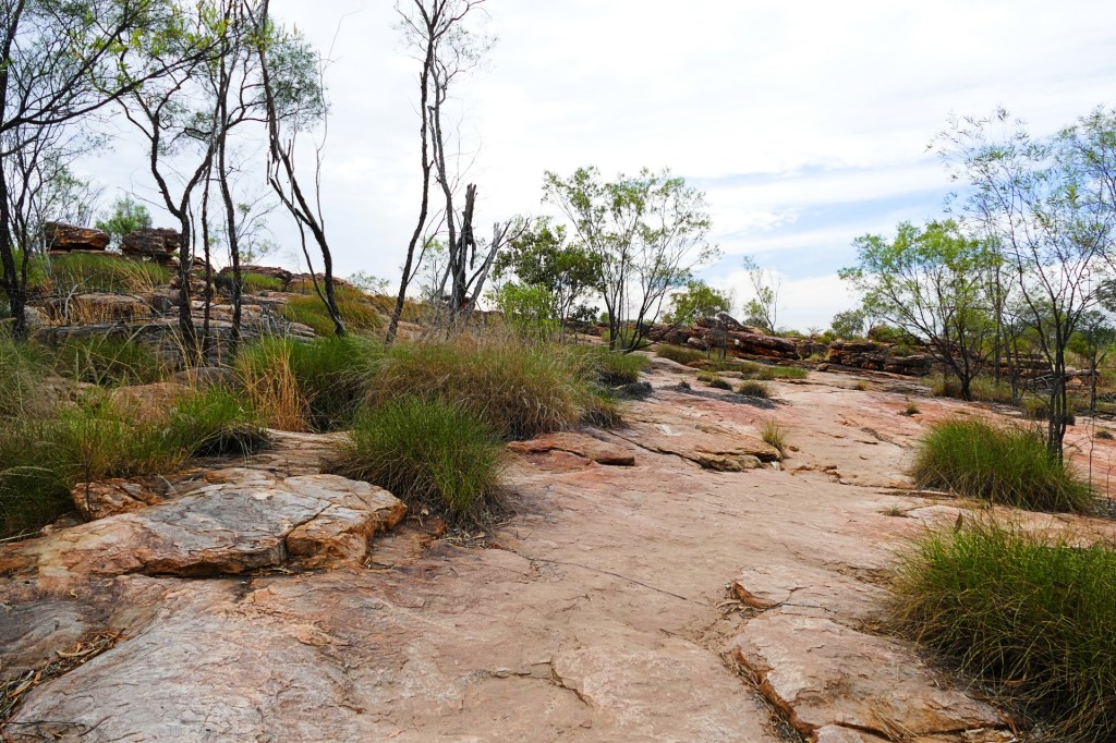
We also had time to do the Dale Gorge and Clifftop Walk. The Dale Gorge walk is a class 4 bush walk, Class 5 is the most difficult. Circular Pool, which was at the end of the Dale Gorge walk had been closed due to a rock fall, so we could not go there, which was disappointing.
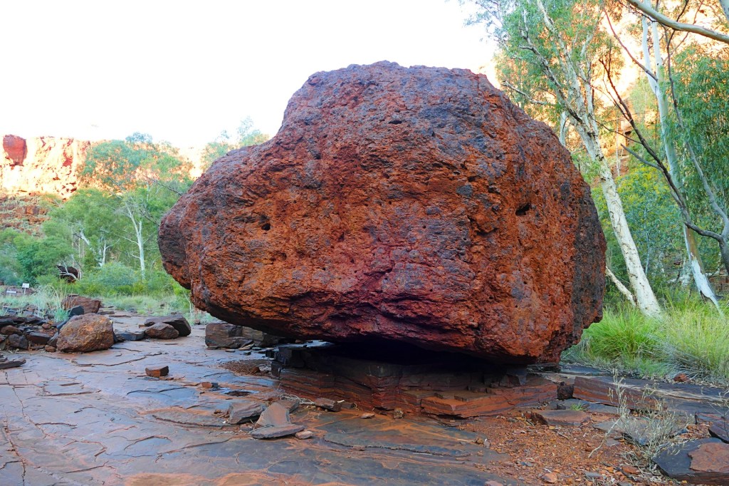
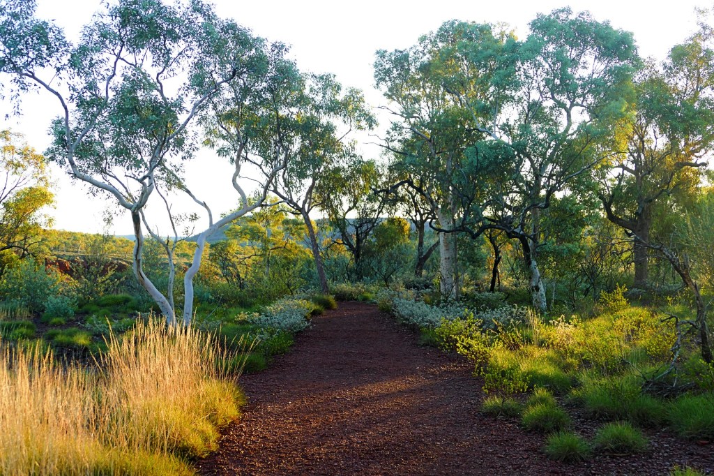
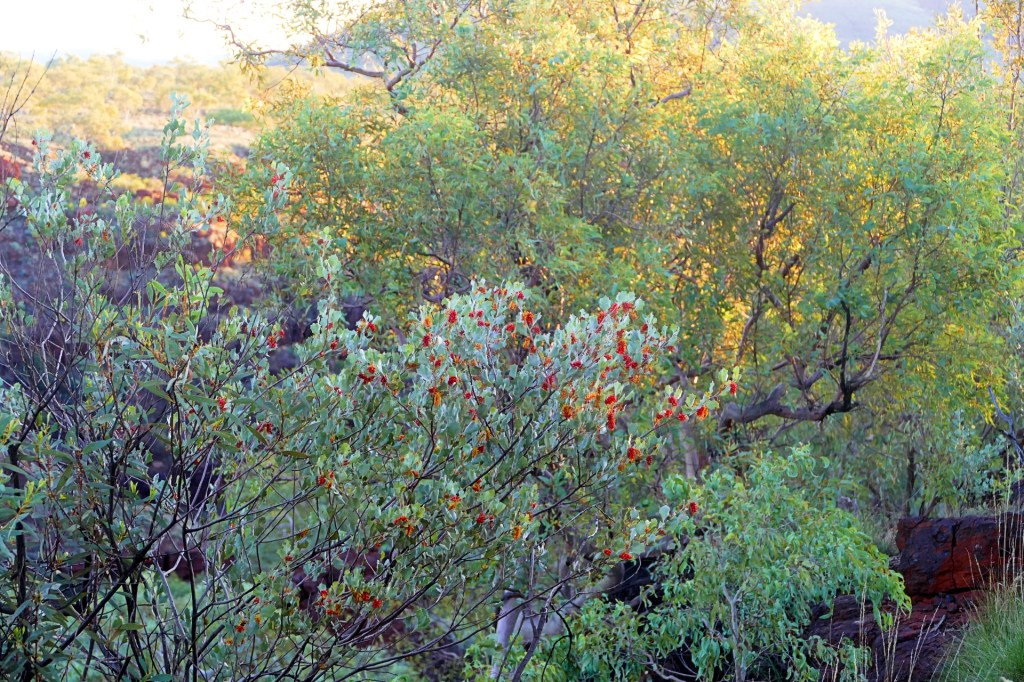
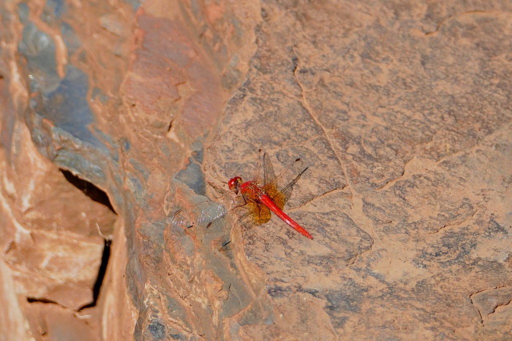
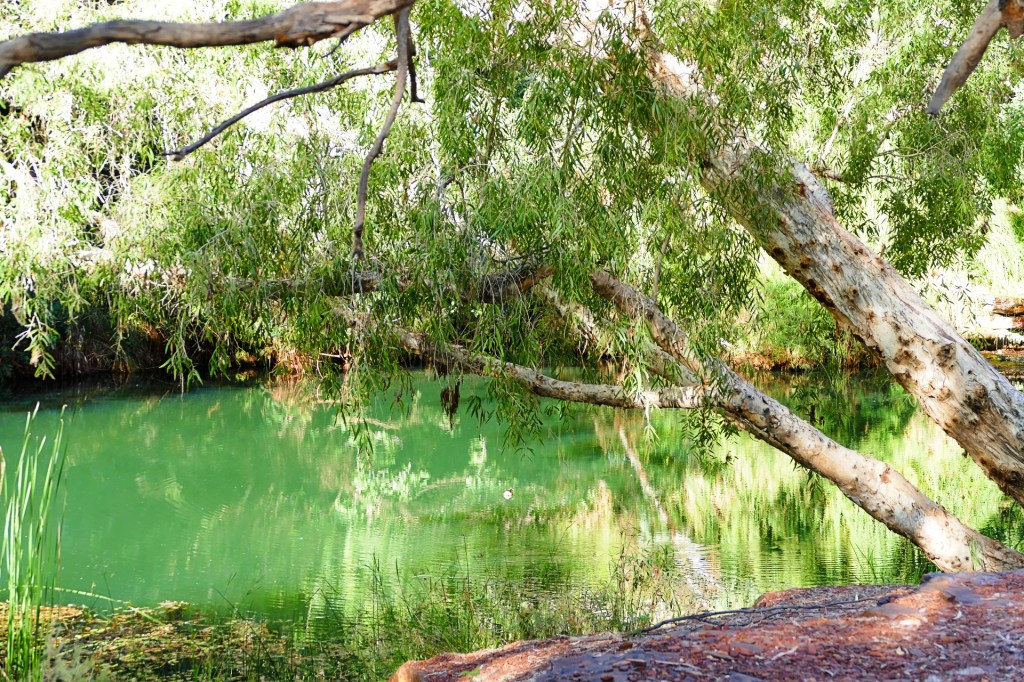
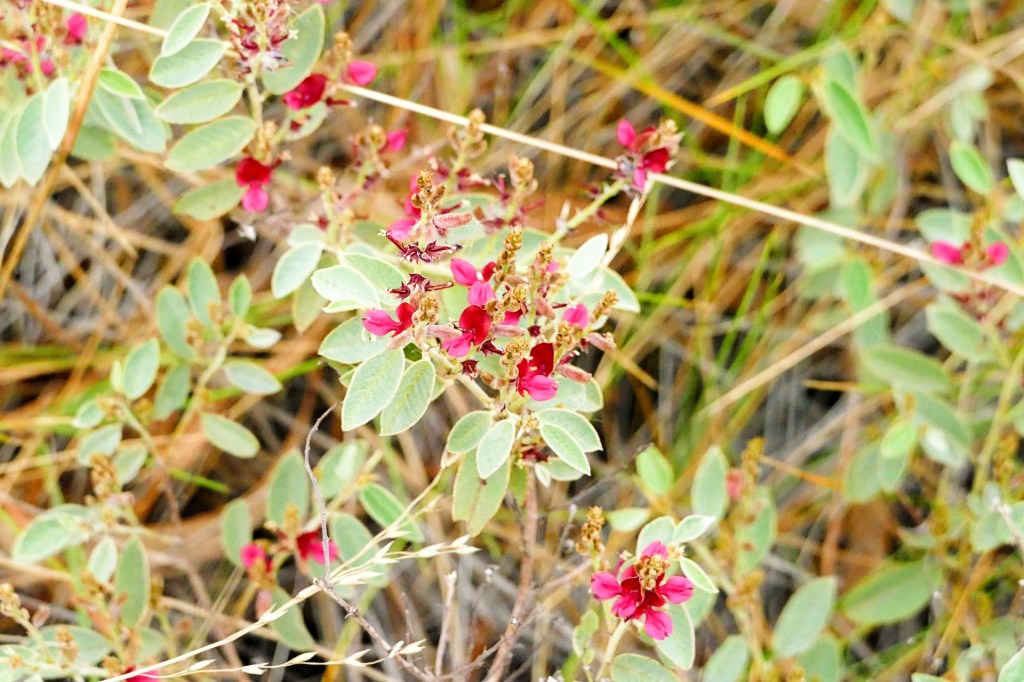
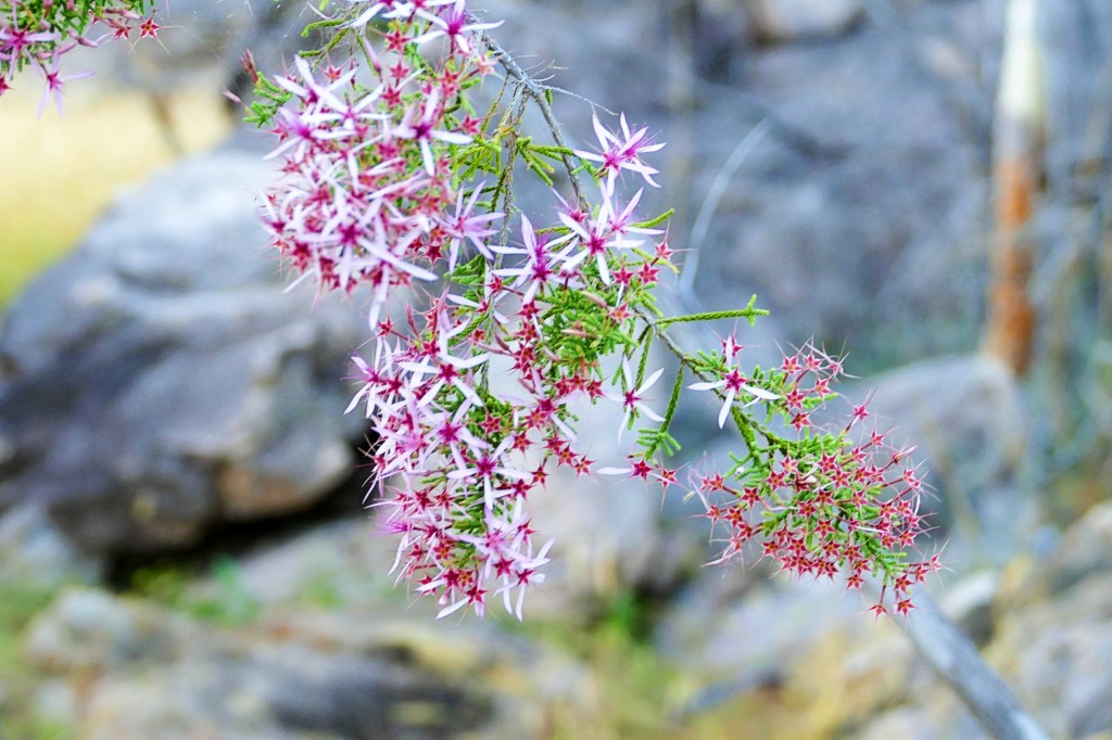
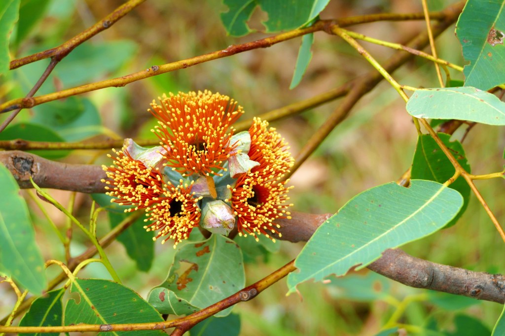
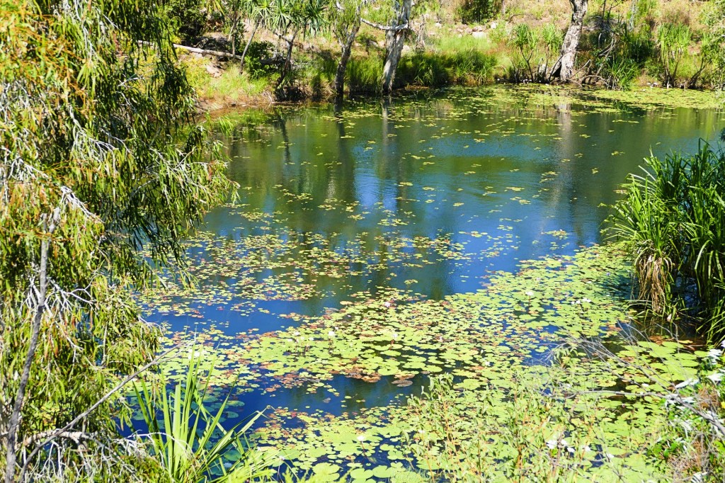
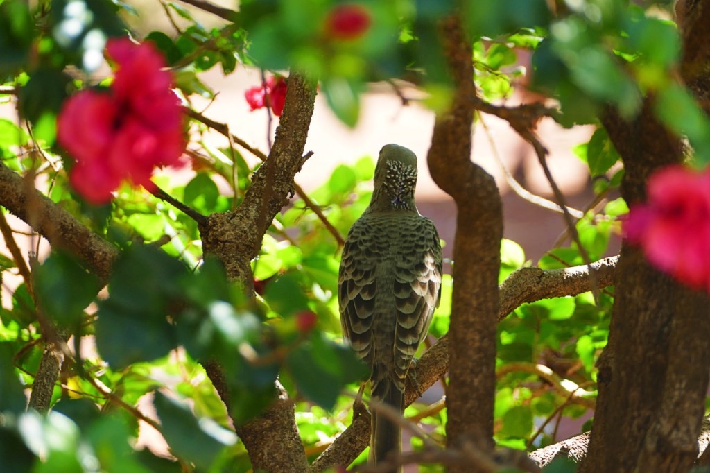
I have listed the photo’s below so you can see what we saw as we walked along the gorge.
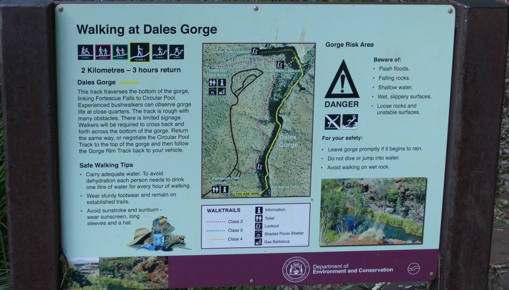

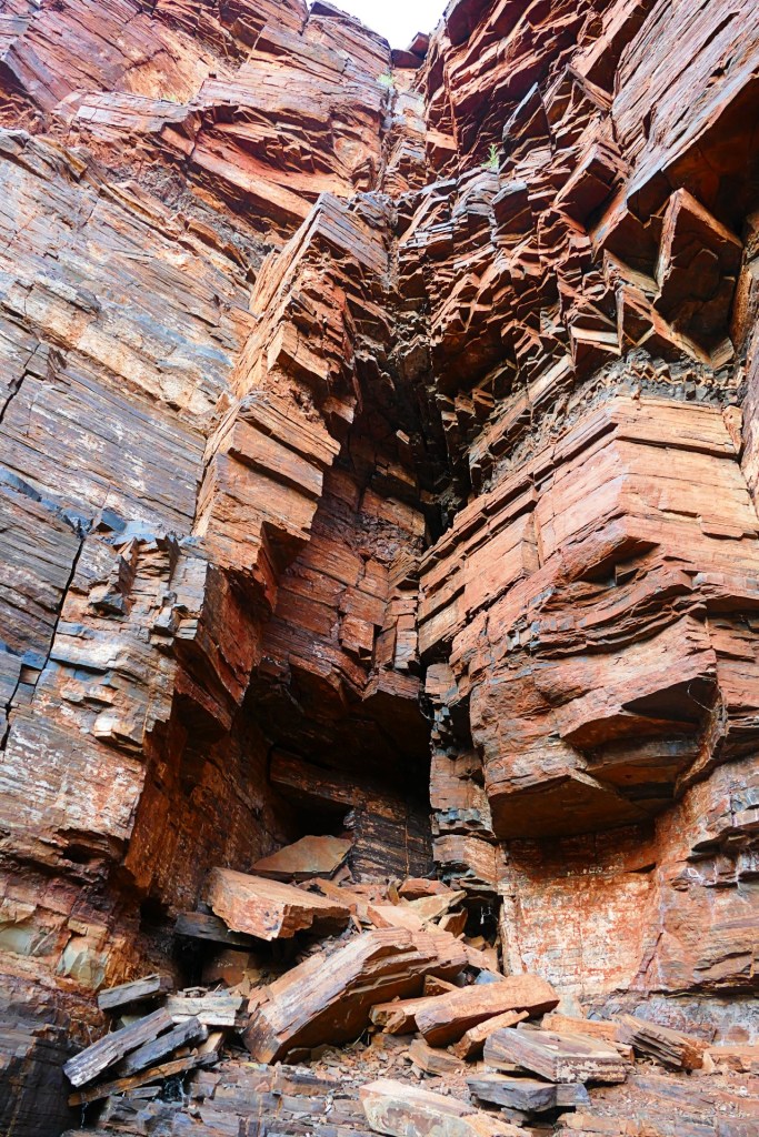

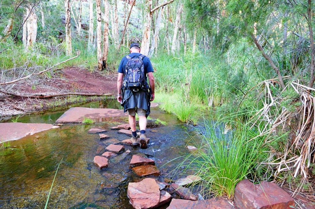
At the end of the Dale Gorge walk, we had to climb back to the top of the Gorge to do the Clifftop walk, that is only a Class 2 walk
Our campsite for the night was at Cockatoo loop, site 10. Unfortunately we had to move each night, the camp ground is very popular and you need to book early.
Day 119, Saturday the 4th June, 2022
We woke to a beautiful day, ready to tackle 3 more gorges.
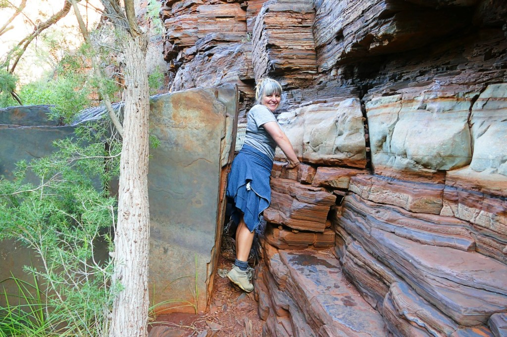
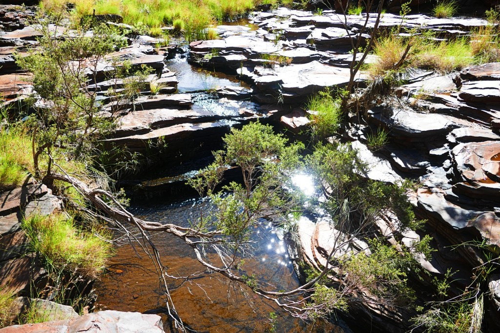
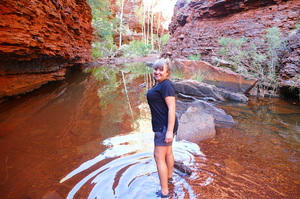
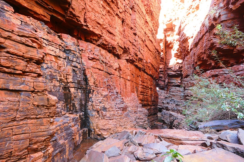
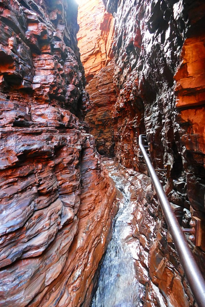
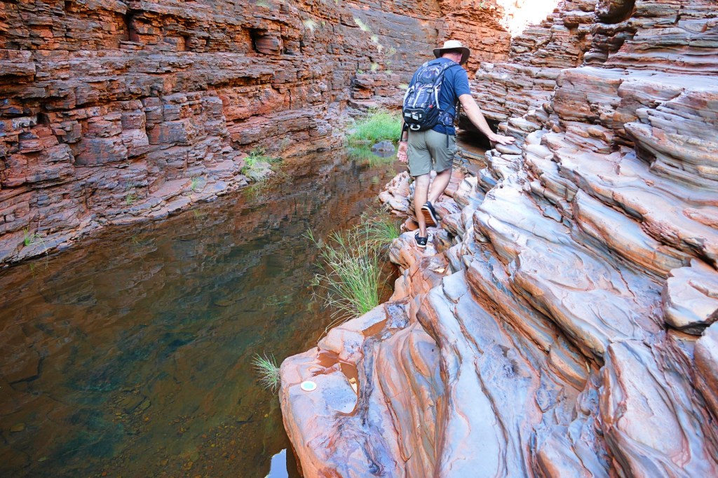
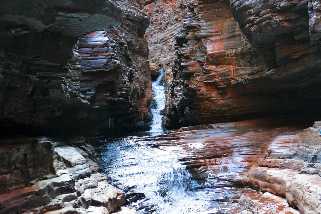
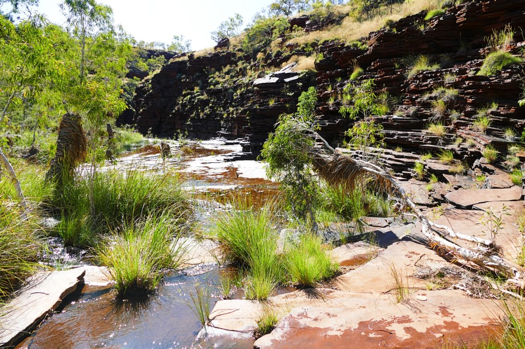
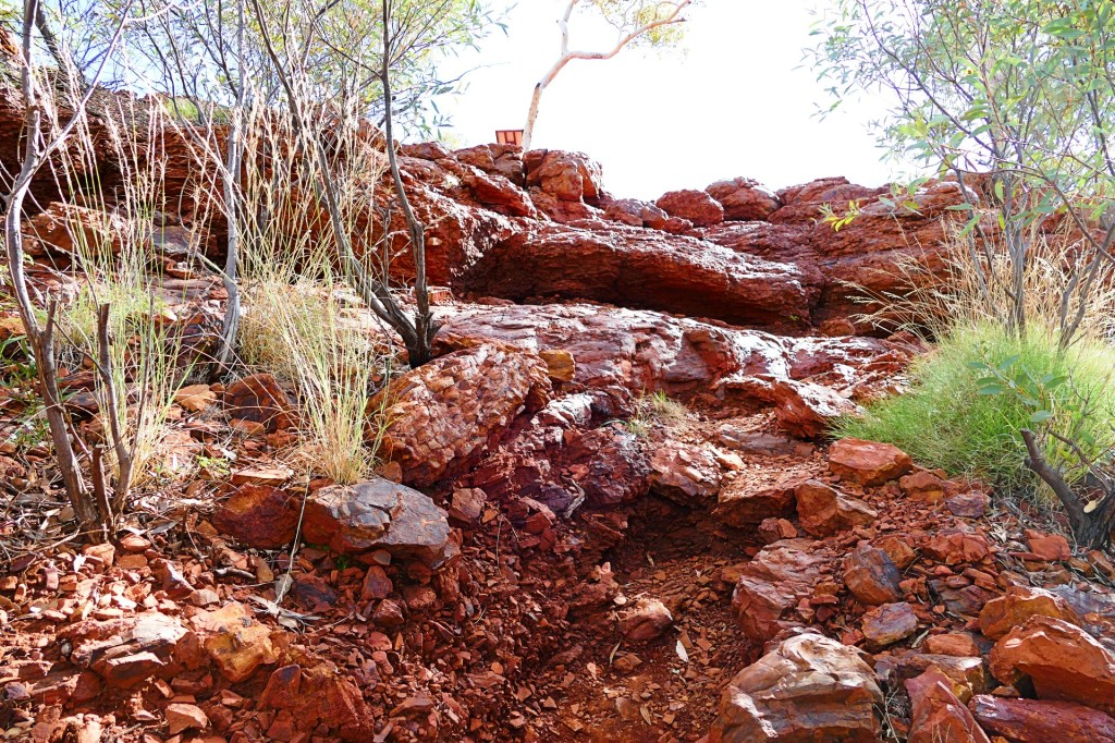
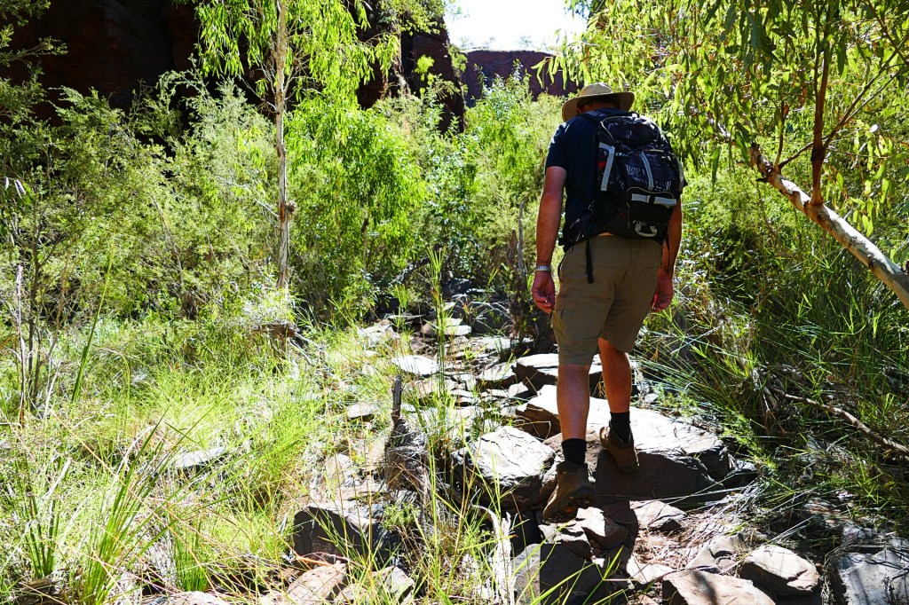
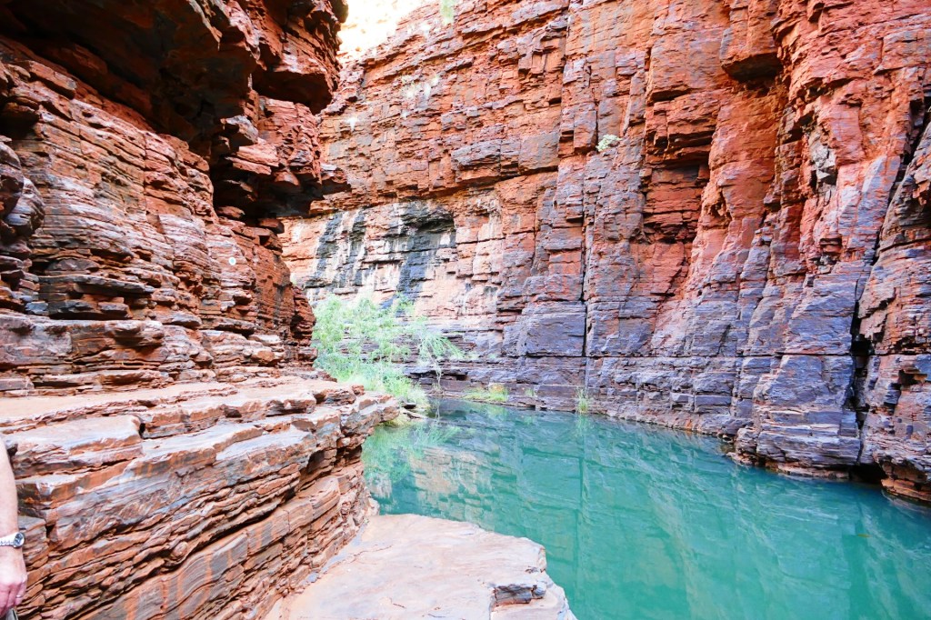
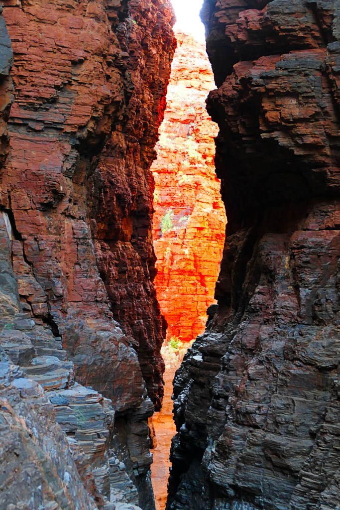
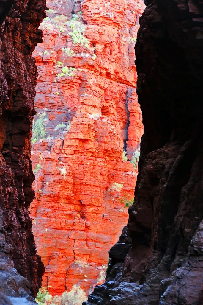
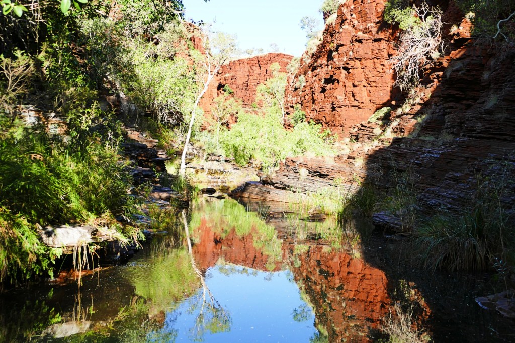
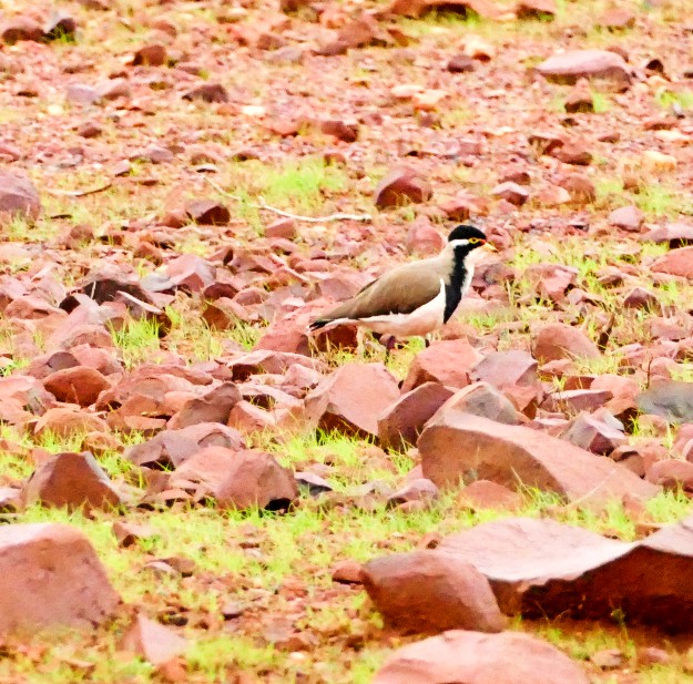
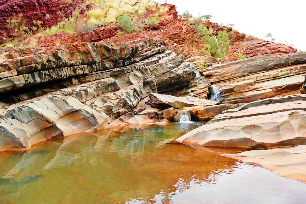
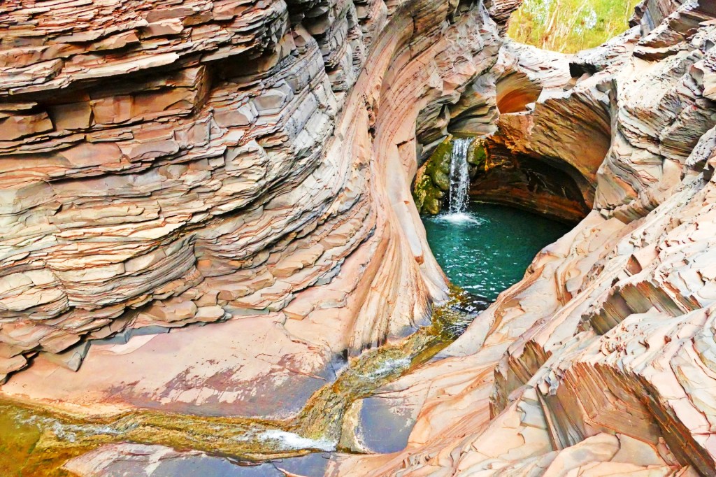
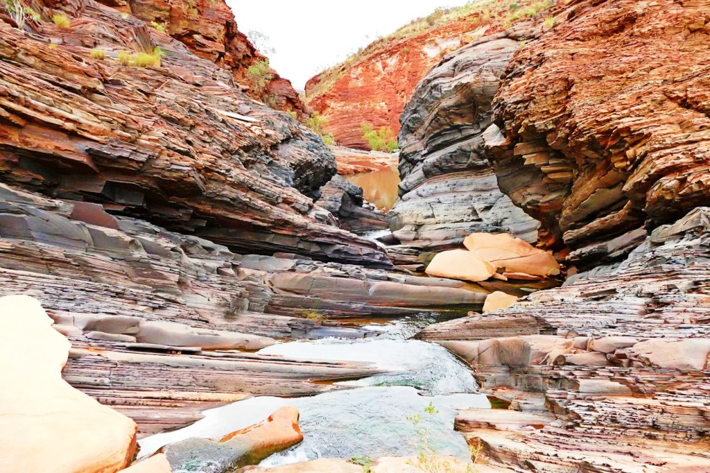
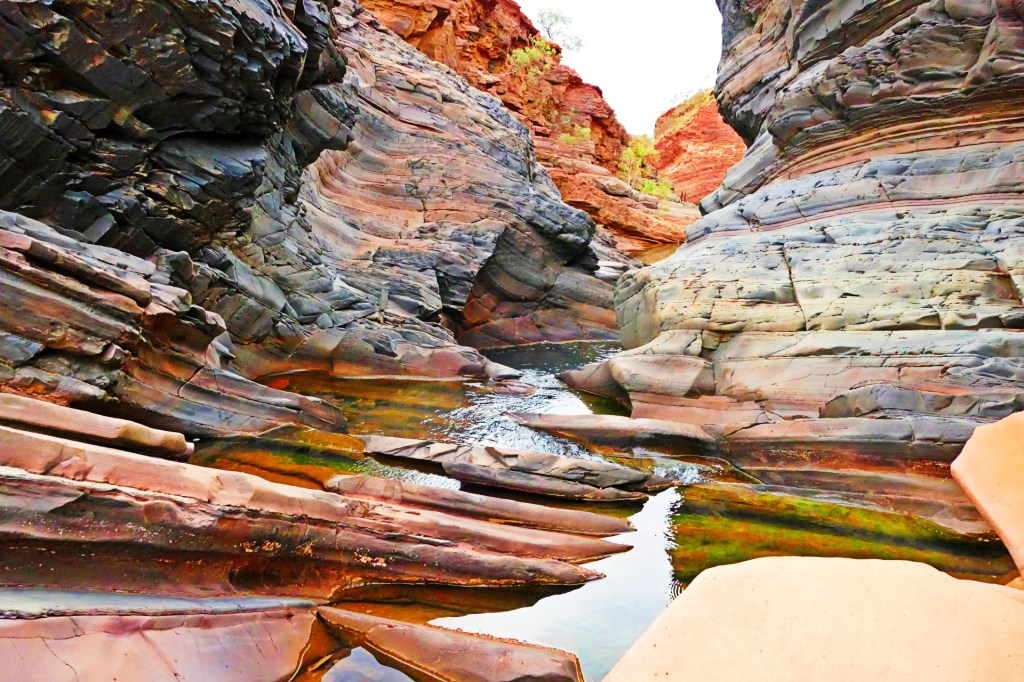
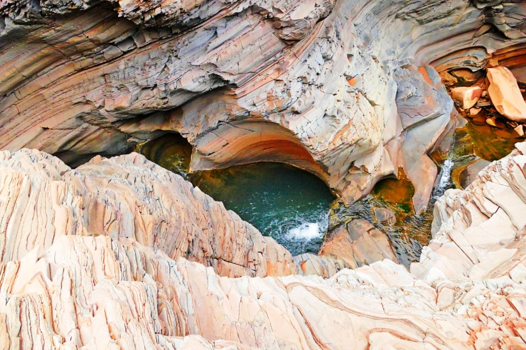
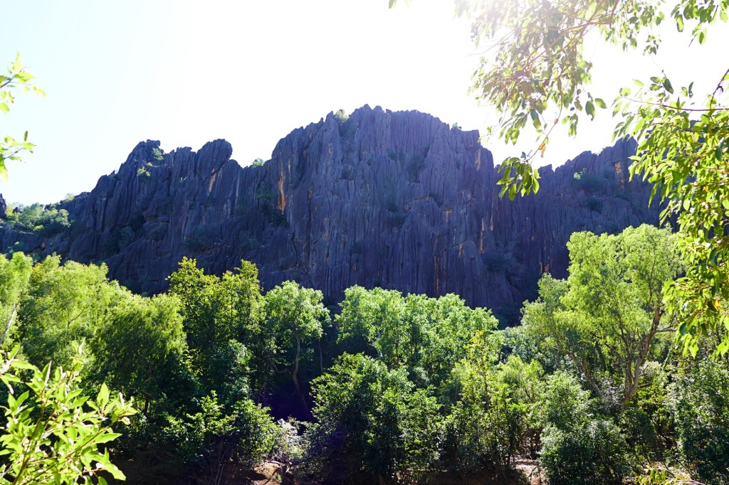
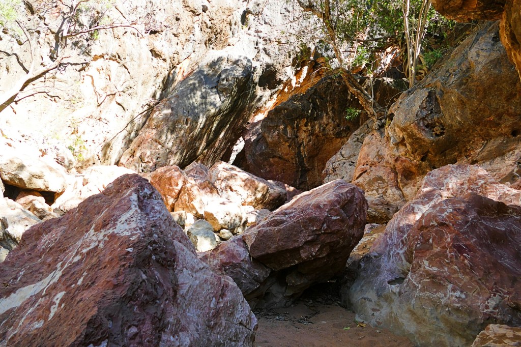
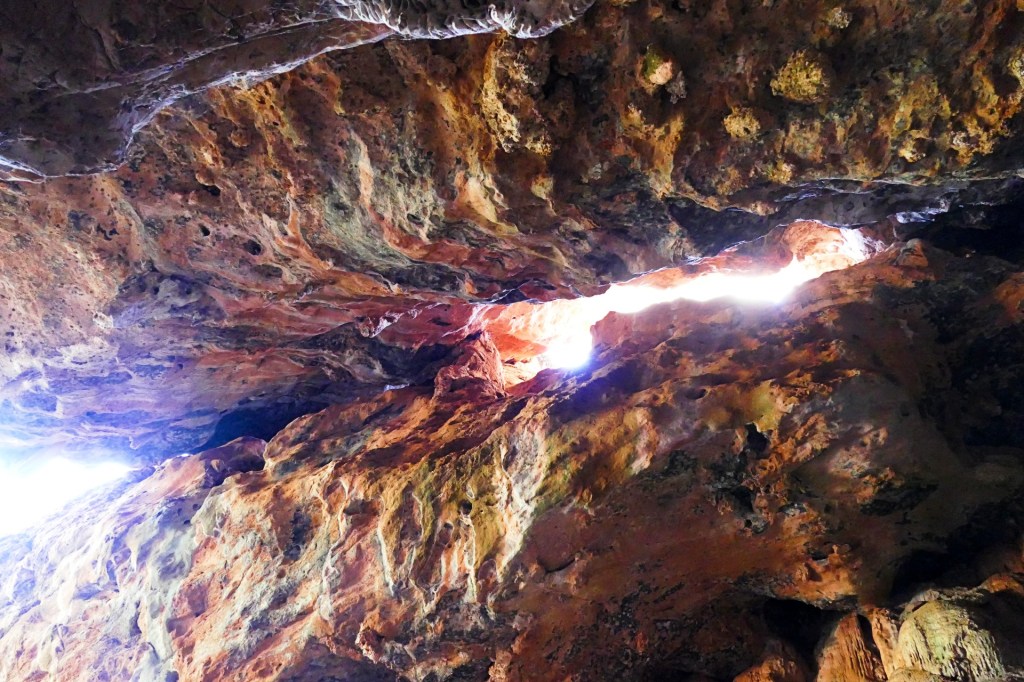
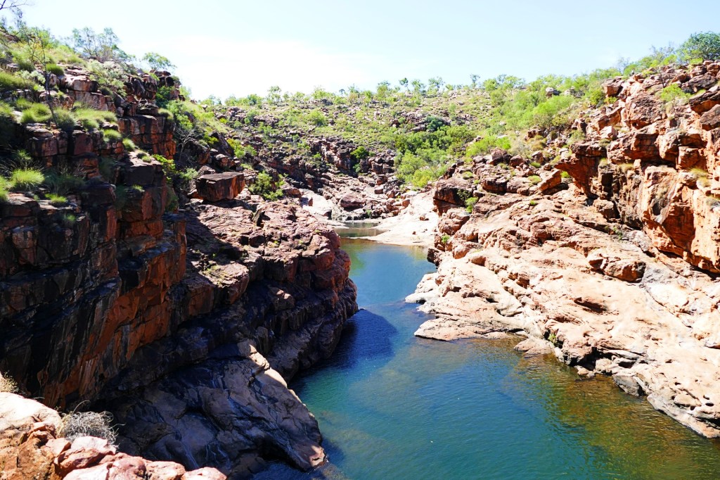
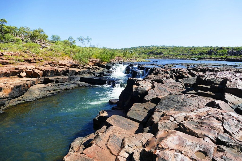
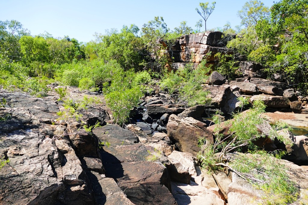
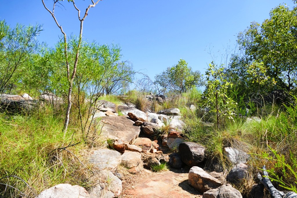
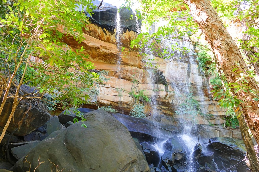
The first walk for the day was the Upper Weano Gorge walk, a class 4 walk, 1 km which would take about 45minutes return.
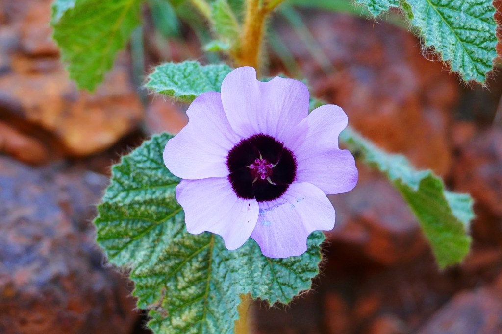
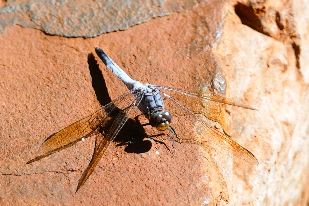
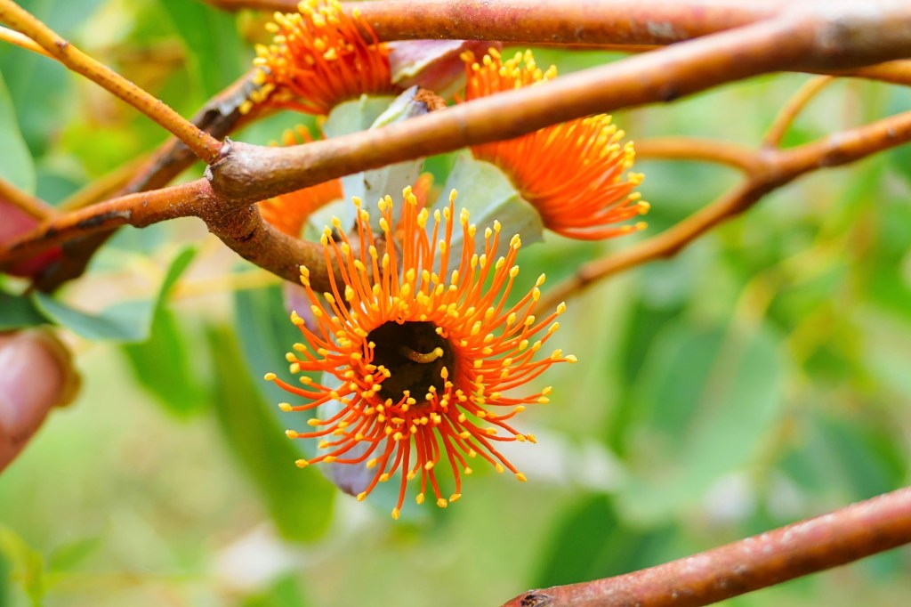
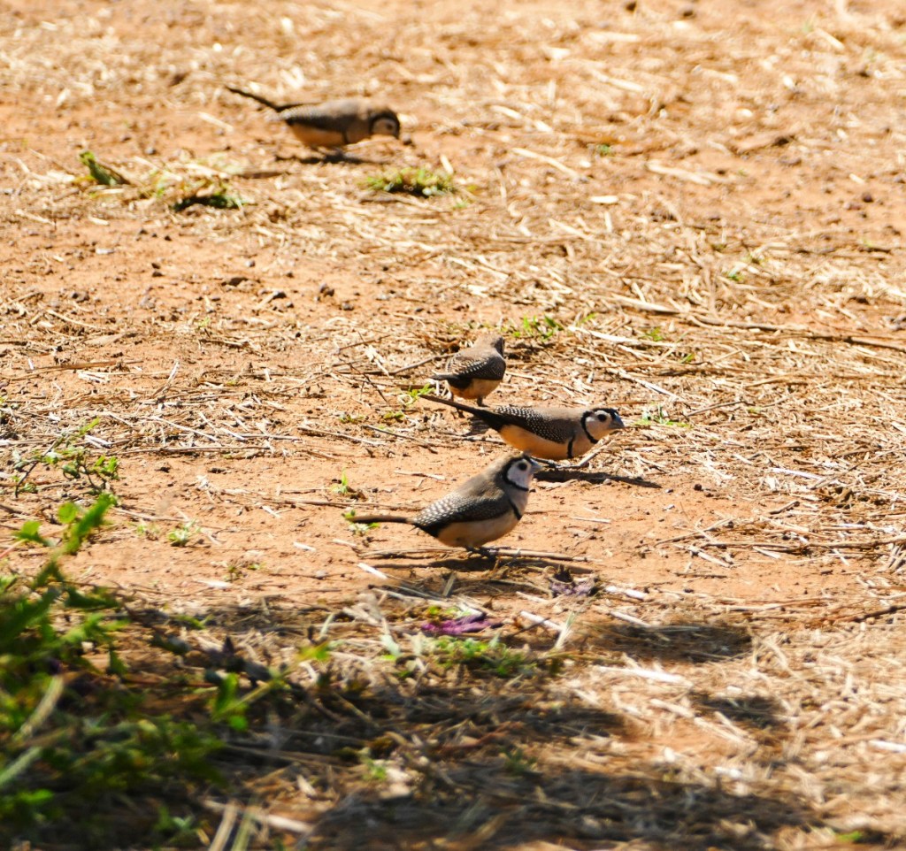
Like the photo’s from the Dale Gorge, I have listed the pictures as we saw them along the walk
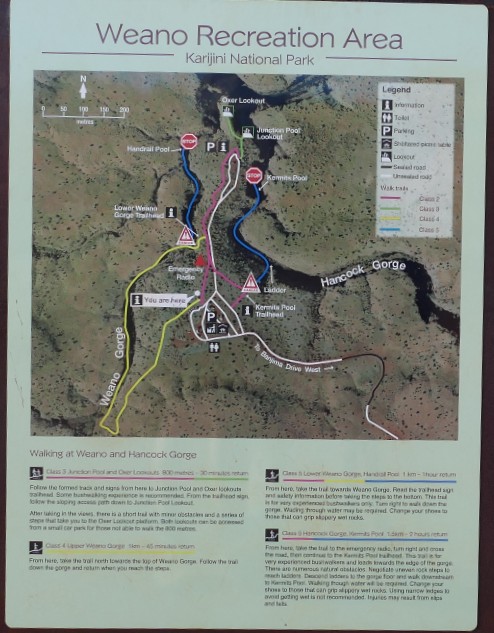

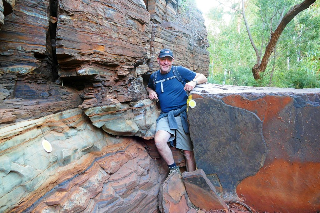
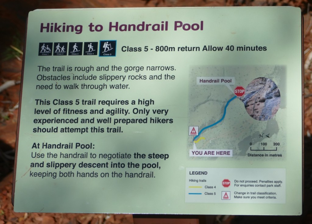
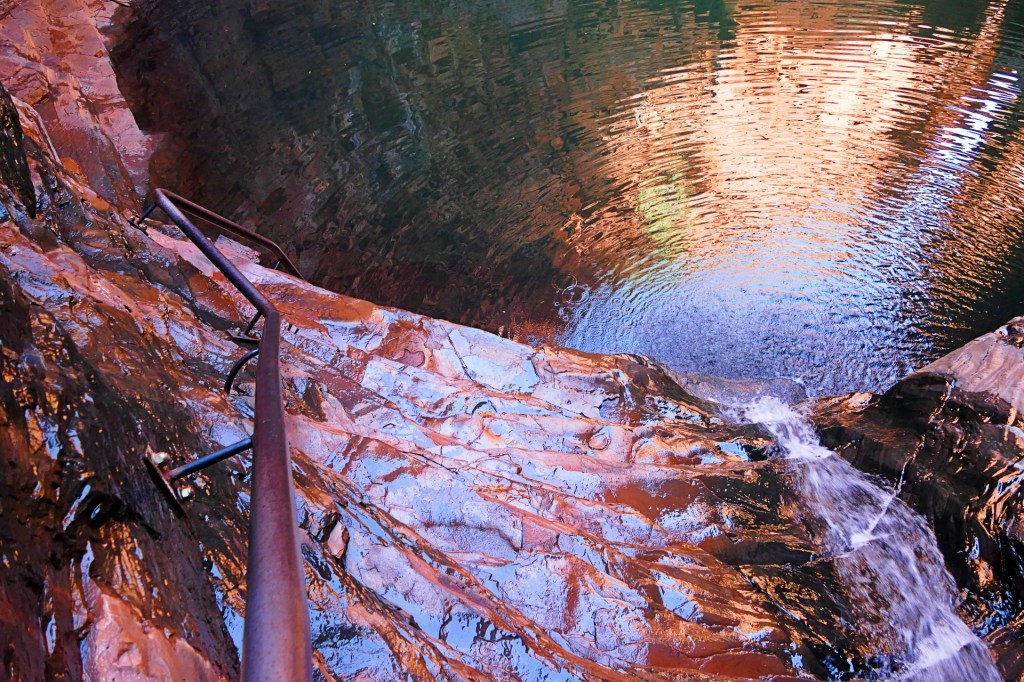
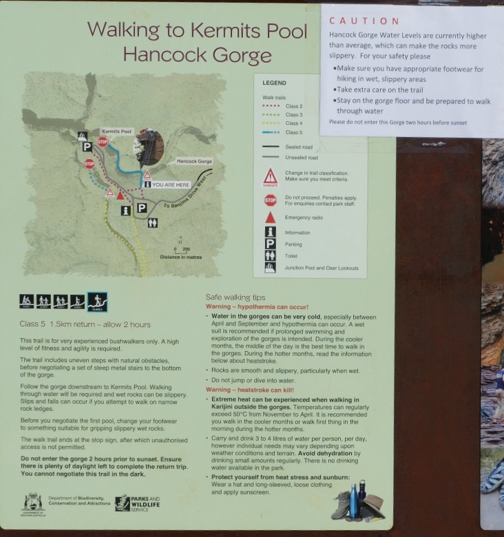
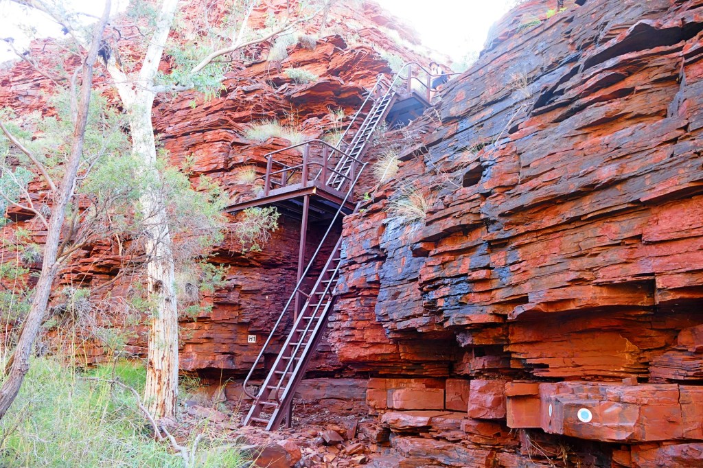
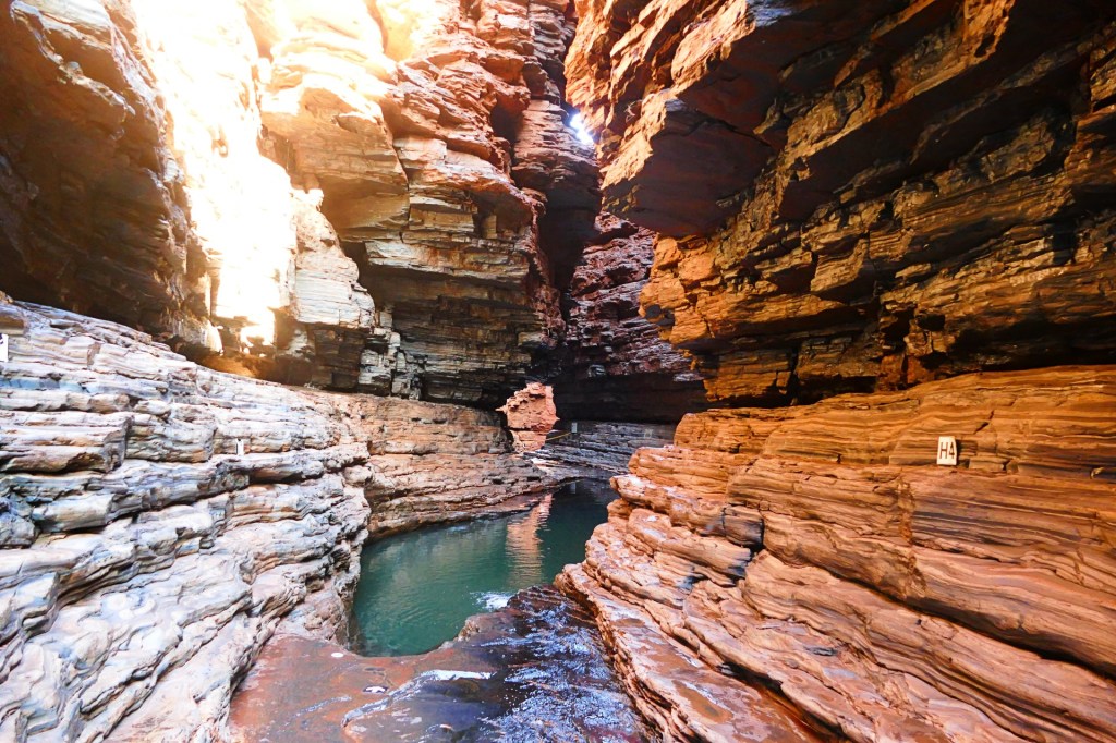
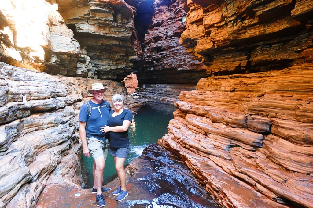
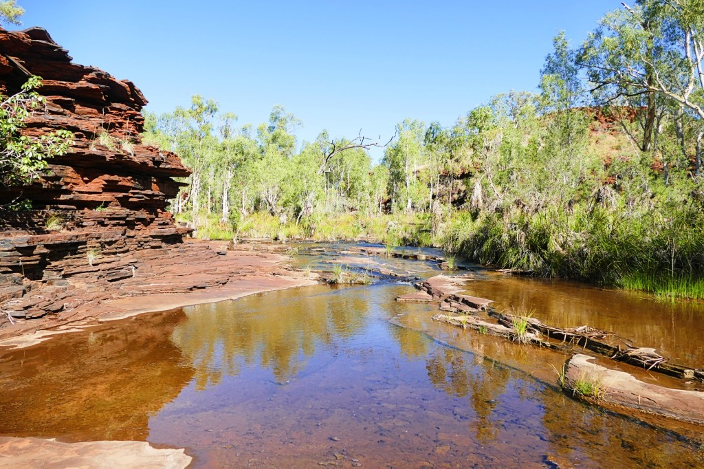
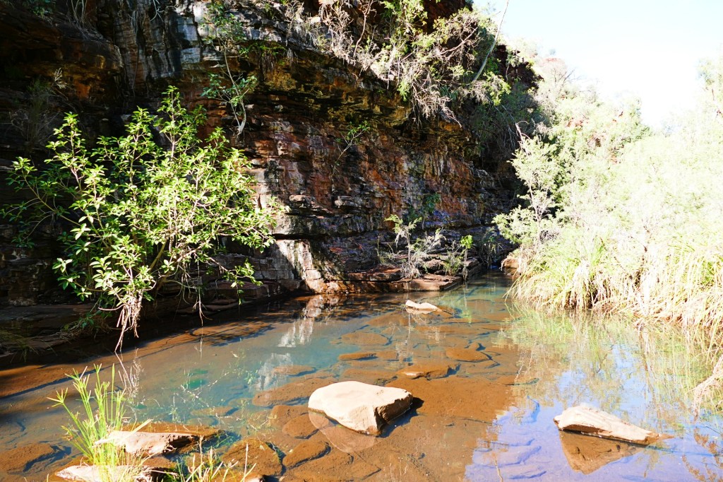
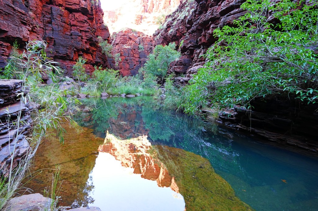
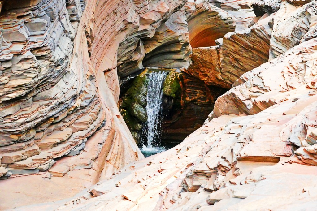
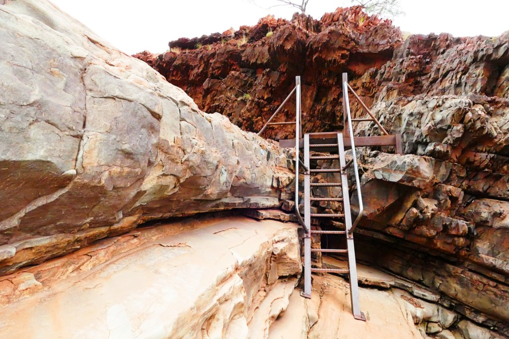
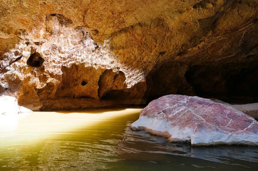
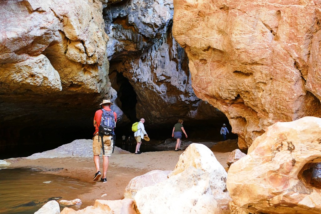
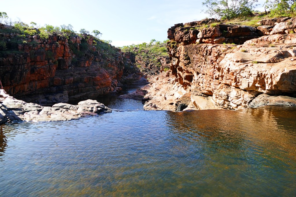
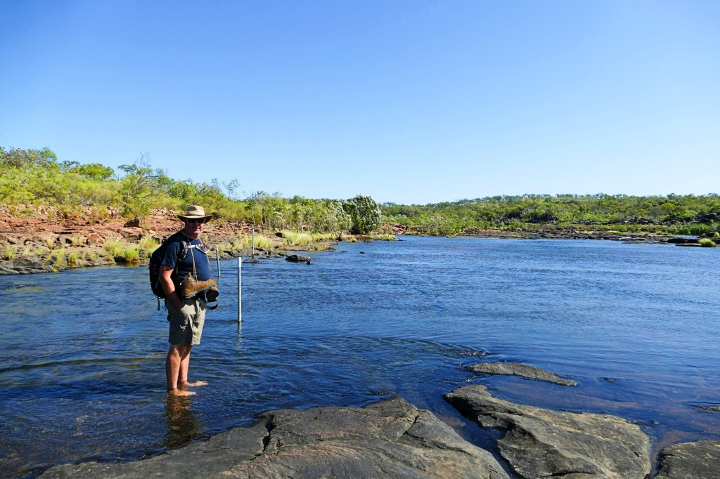
The second walk after morning tea, was the Handrail Pool Walk. This is a class 5 walk, 1km about 1 hour return. This was mine and Bob’s favourite walk.
It involved scaling rock walls, walking through water and climbing down a wall using a handrail at the very end.
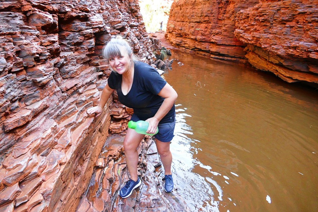


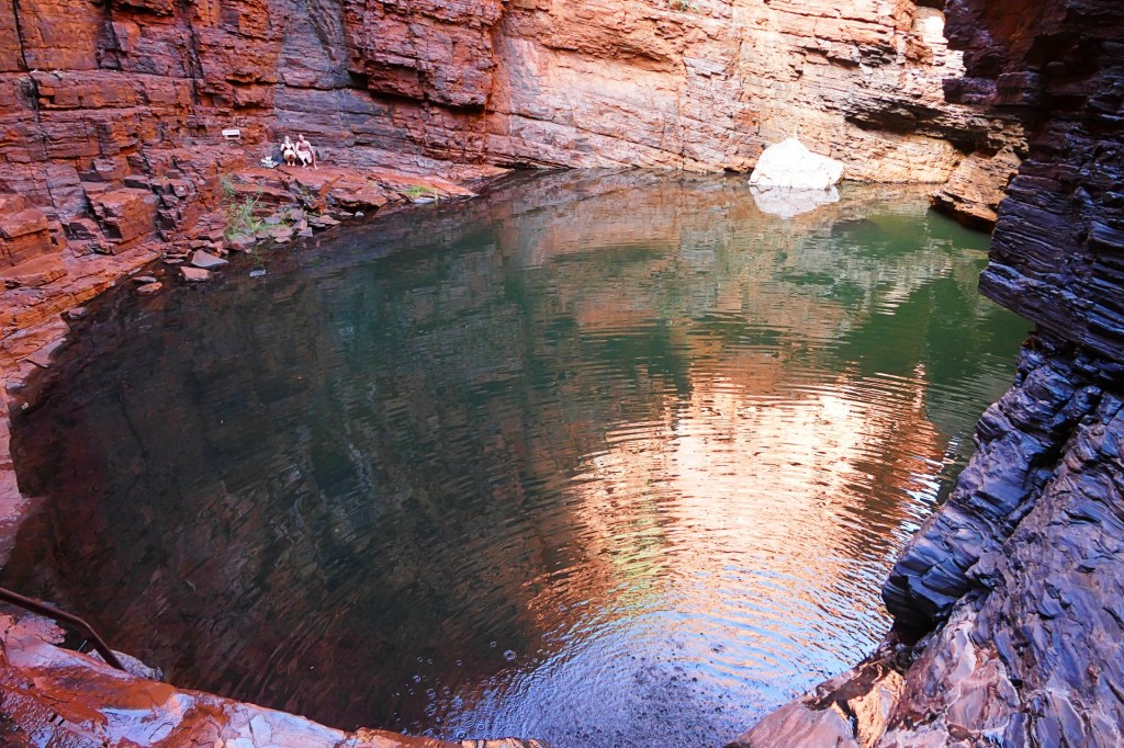

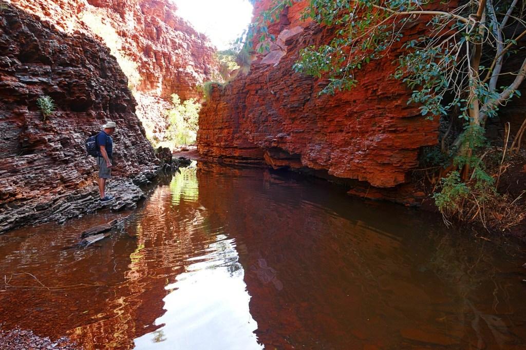
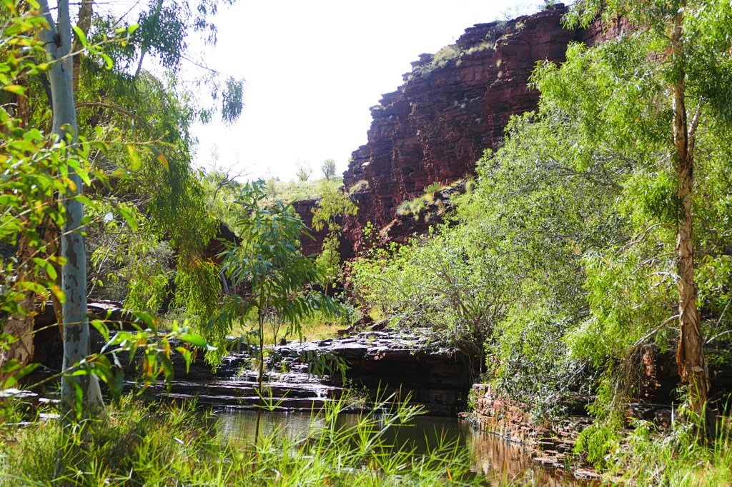
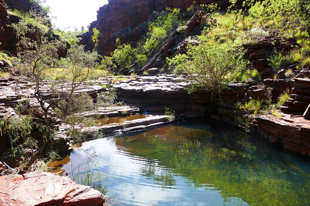
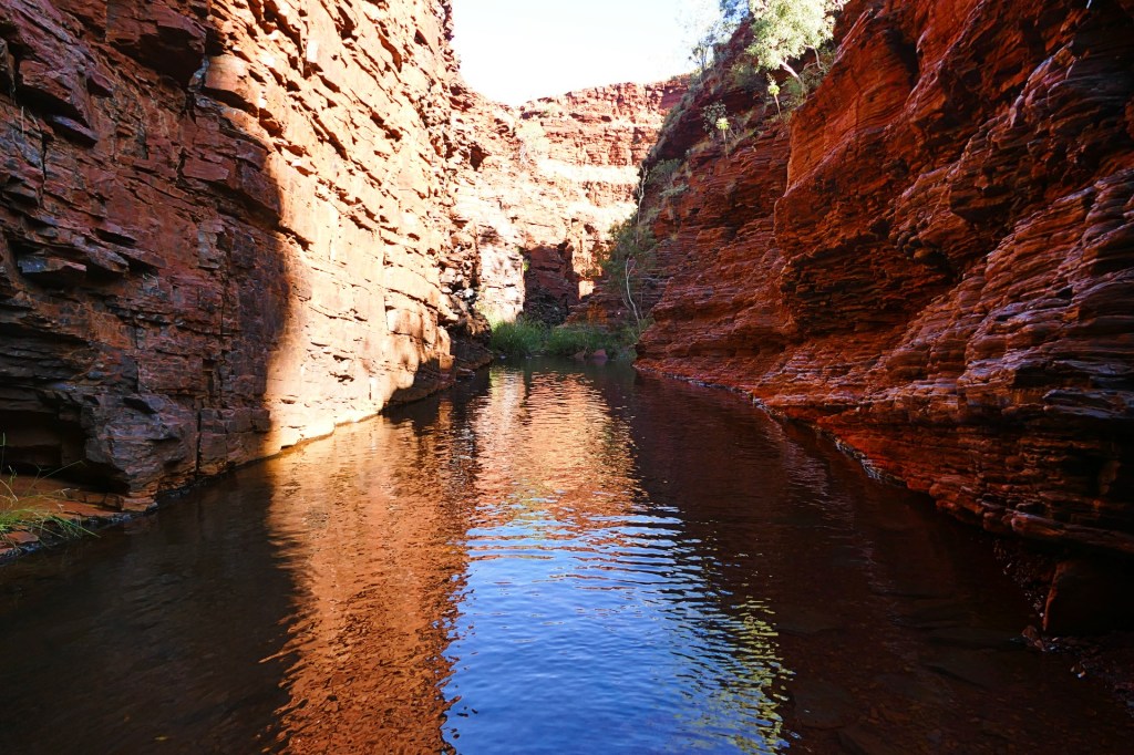
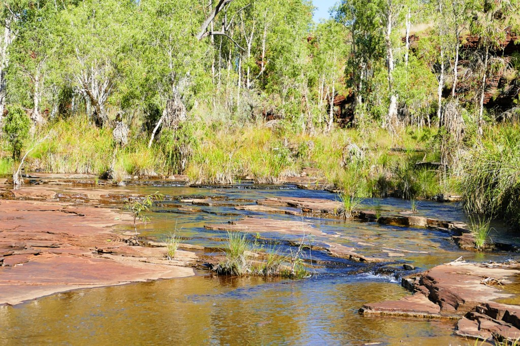
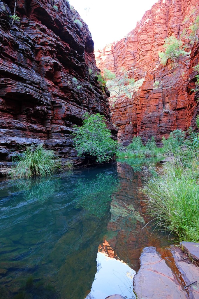
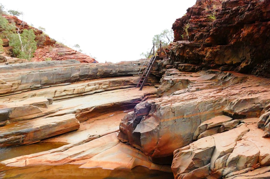
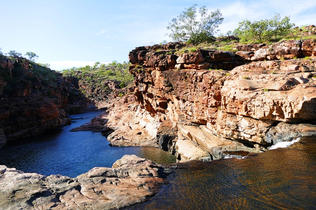
Our third walk for the day was to Kermit’s Pool. This is also a class 5 walk, 1.5km taking about 2 hours return.
This walk also involved getting wet, so we wore our water shoes.

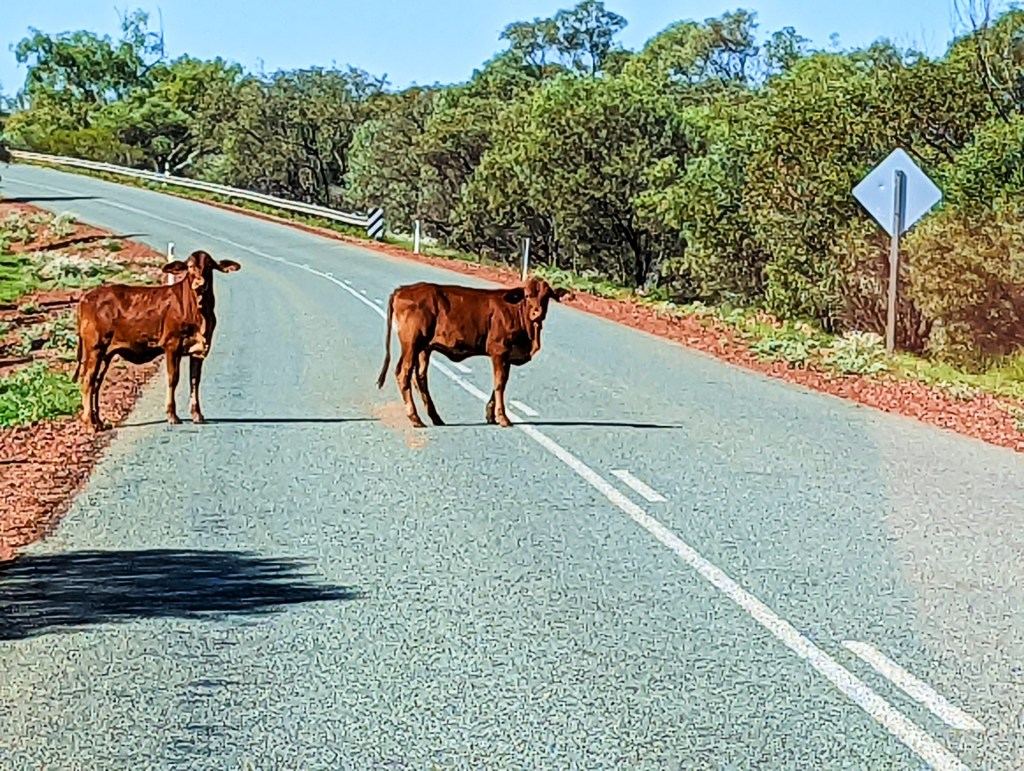
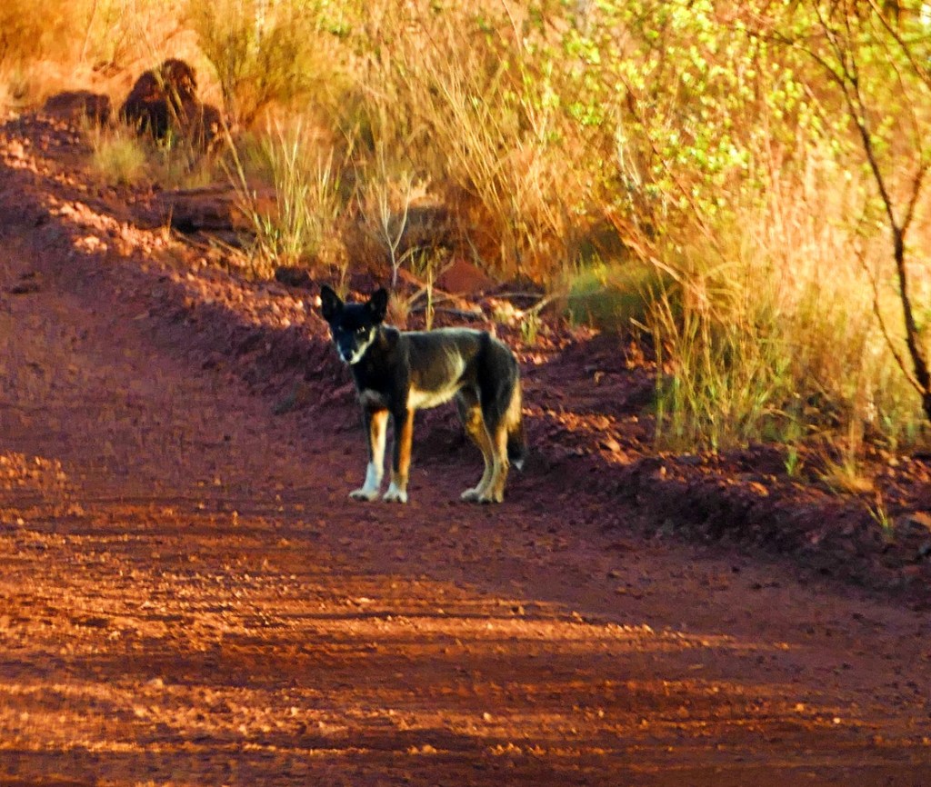
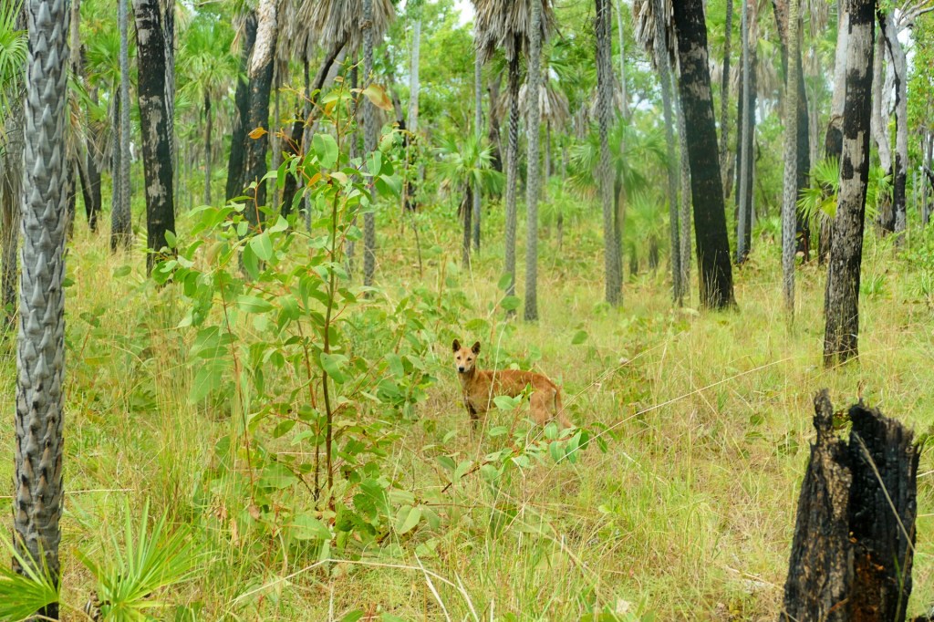
On the way back to the camp ground, we saw these dingo’s on the road, 2 were pure bred dingo’s the third was a cross breed pup, Kelpie and Dingo. the ranger said that there are a lot of them around.

We spent the night in the Dale campground, this night at the Bungarra loop, sight 38, we had booked site 35, but another family had accidentally set their caravan up in our site, so we swapped for the night.
Day 120, Sunday the 5th June, 2022
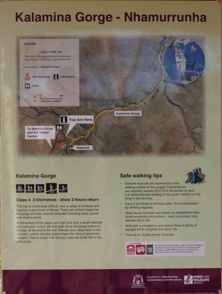
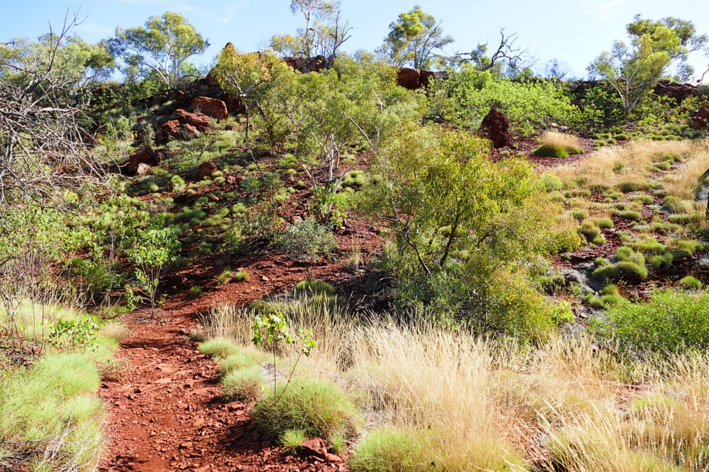
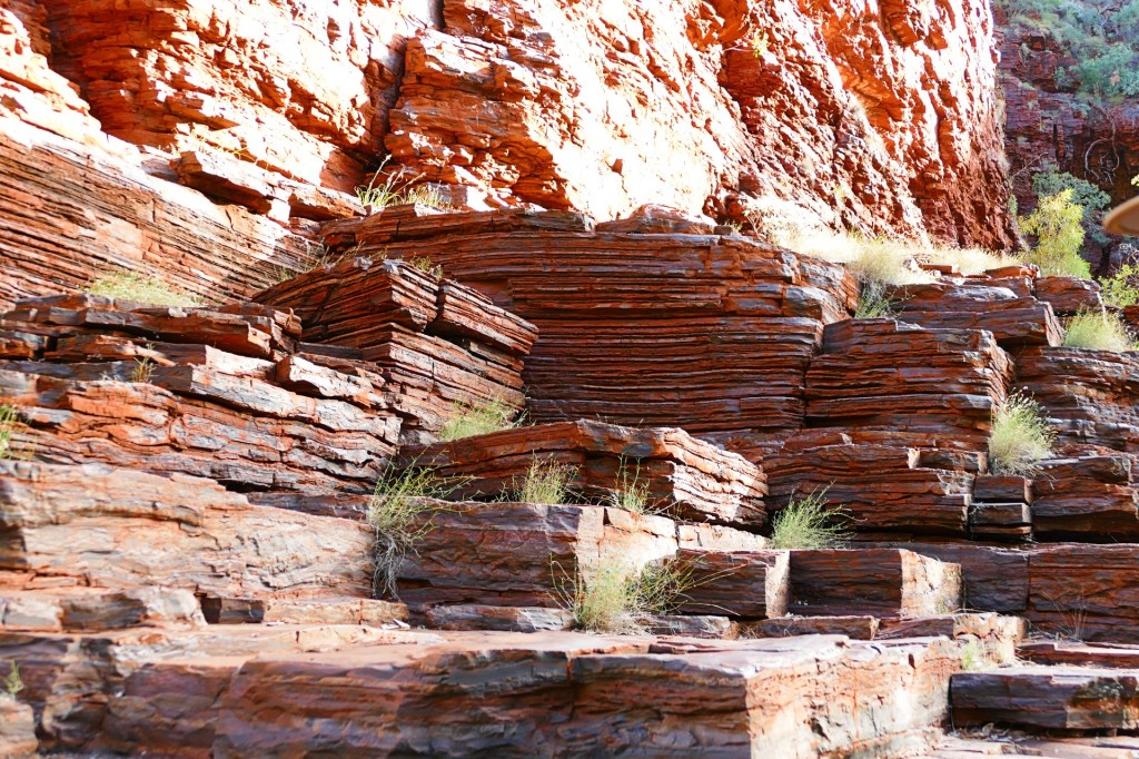
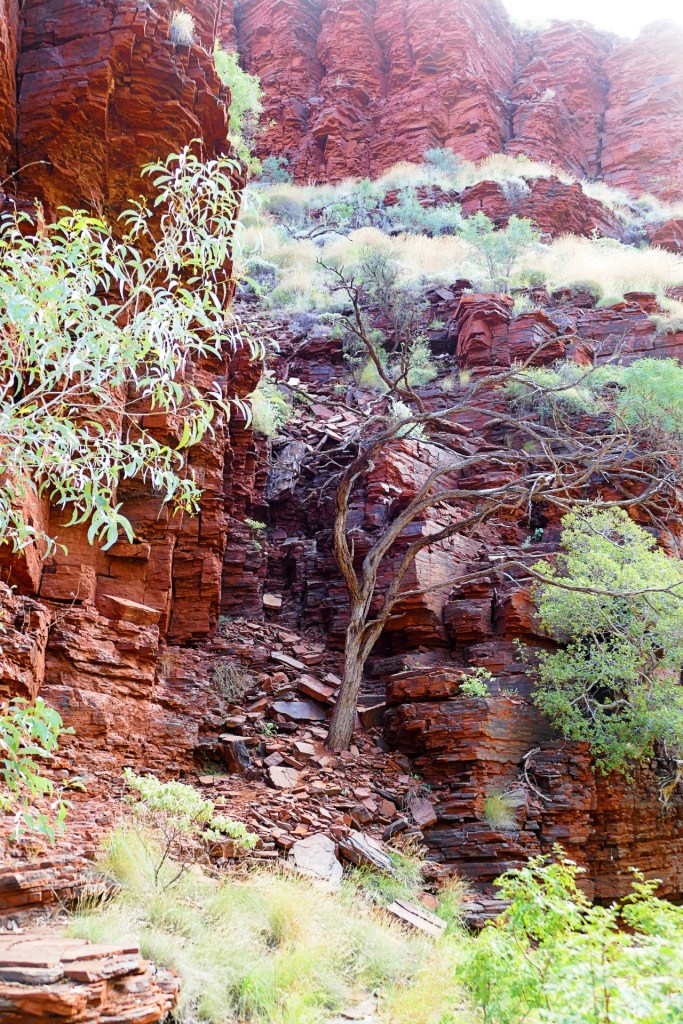
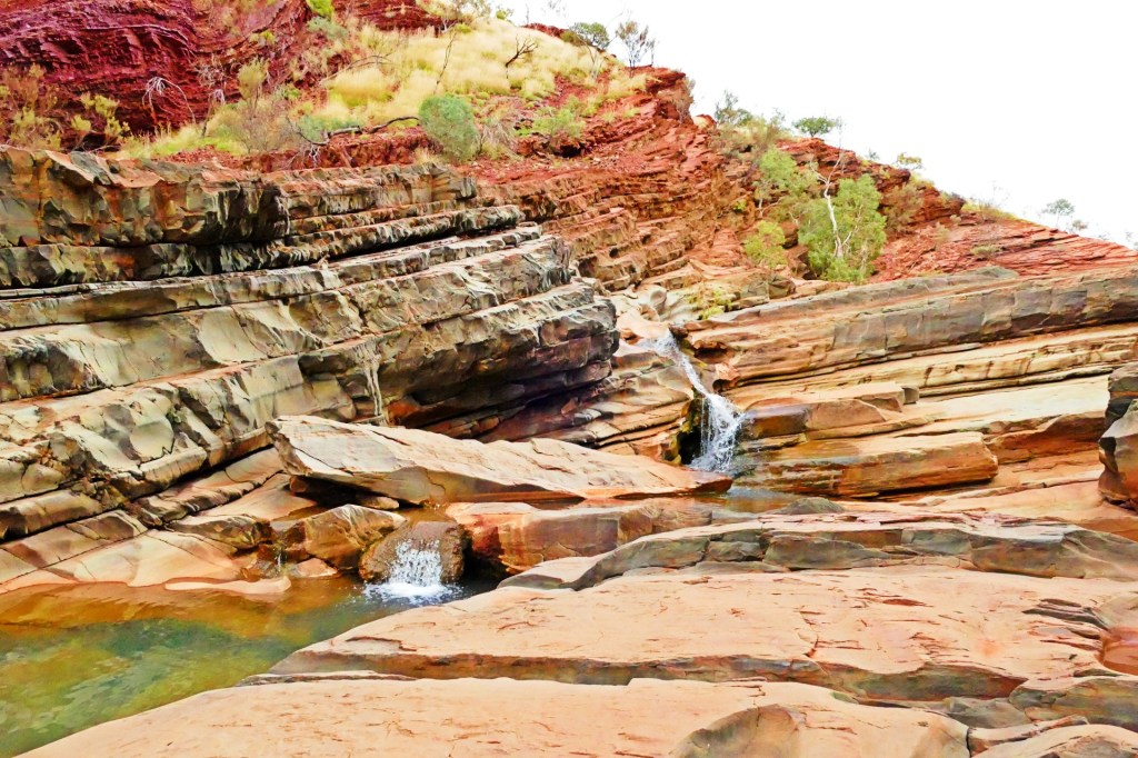
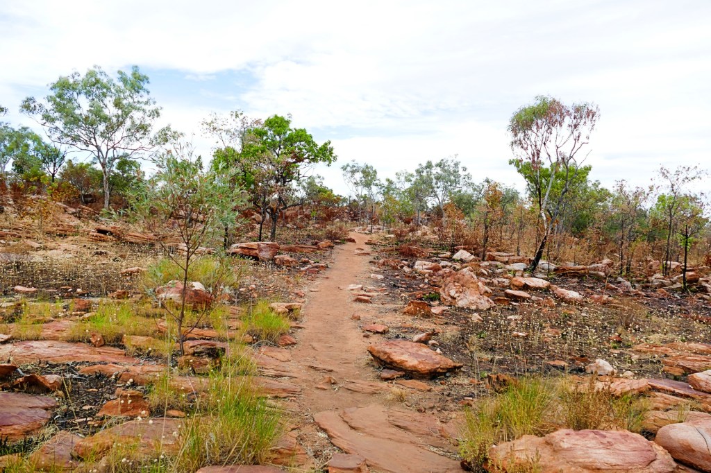
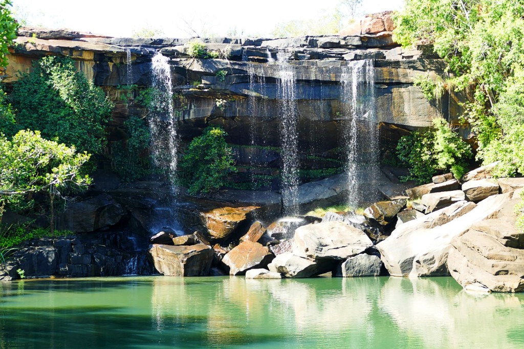
Today is our last day in Karajini, we have thoroughly enjoyed our time here, we 2 gorges to walk today, the first is Kalamina Gorge, which also has a waterfall. Kalamina Gorge is a class 4 walk, it is 3km long and should take about 3 hours return.


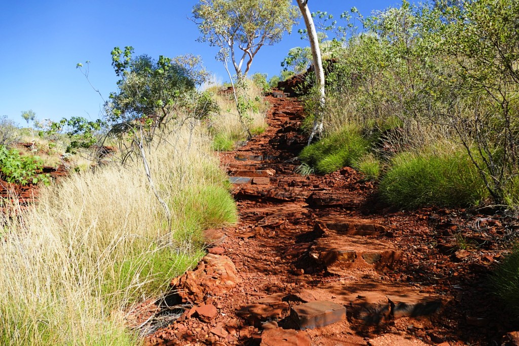
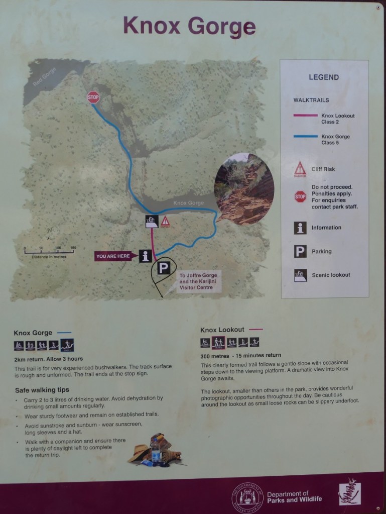
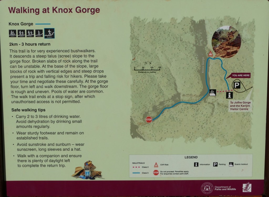
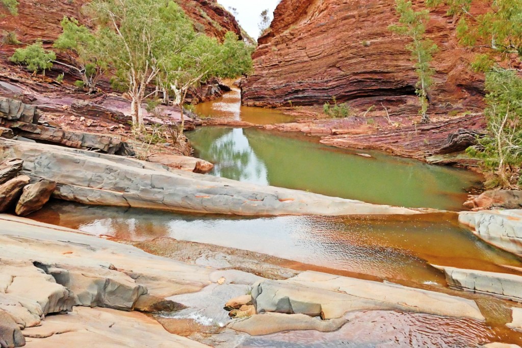
The last walk of the day is Knox Gorge, This is a class 5 walk, it is 2 Km long and about a 3 hour return trip.
The Knox Gorge is by far the hardest walk that we did this trip so far. The climb down and of course the same climb up was the hardest and roughest of all the gorges we have done so far. the walk along the gorge was not more difficult than the other class 5 walks.


We spent the night in the Karajini overflow camp ground. It can be booked when all the other camp sites are full. It still has to be booked online.
Day 121, Monday the 6th June, 2022
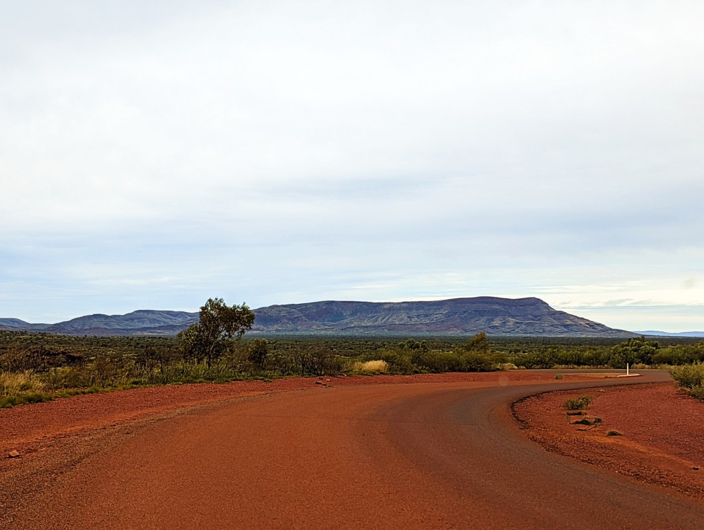
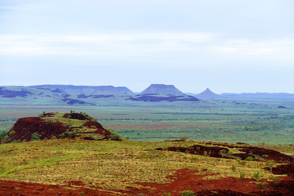
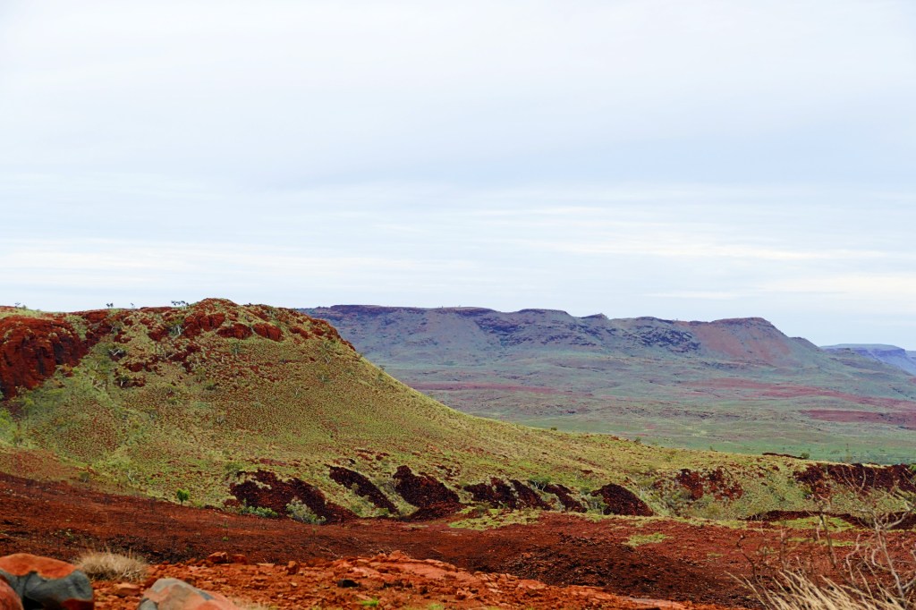
We left Karajini today and travelled to Tom Price, we had errands to do there today and tomorrow.
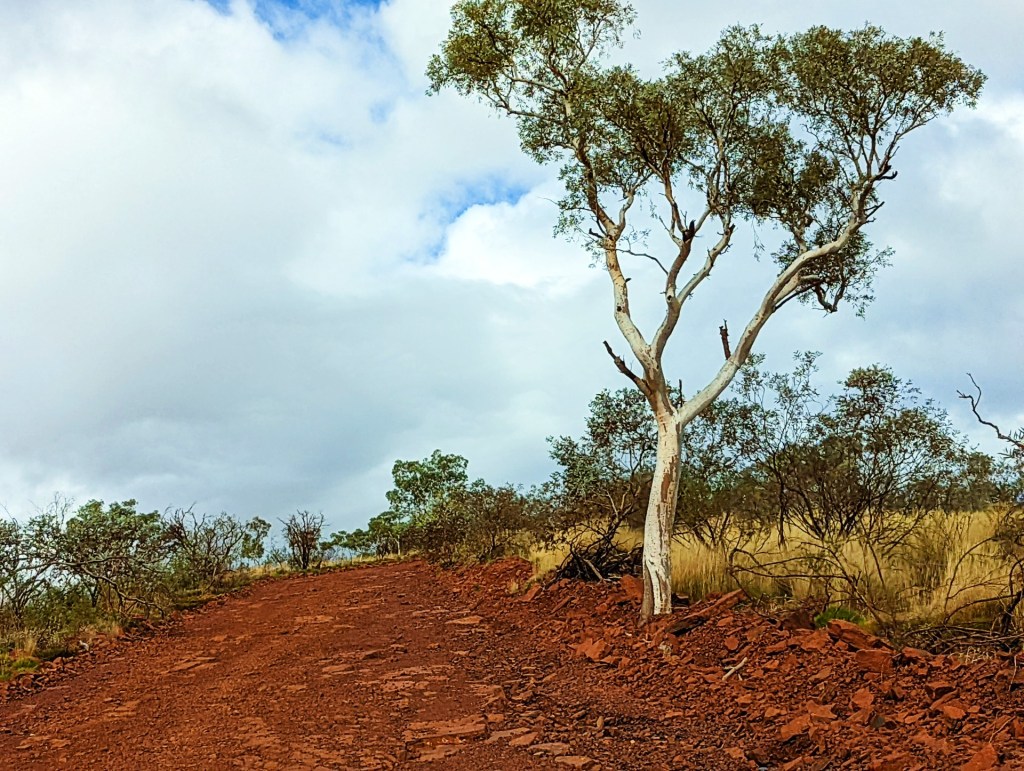
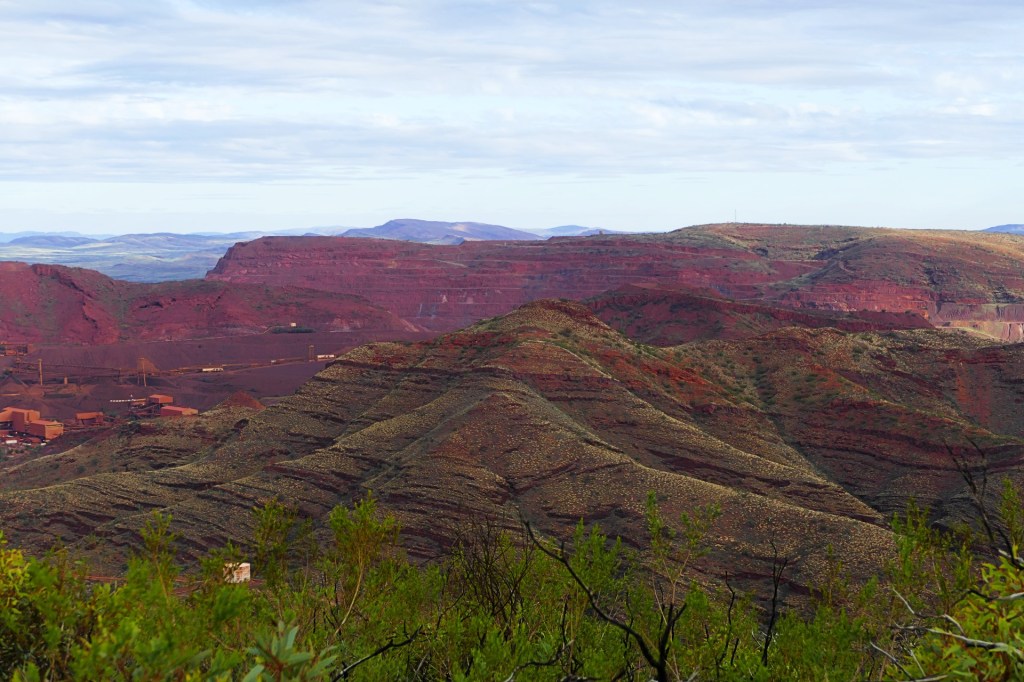
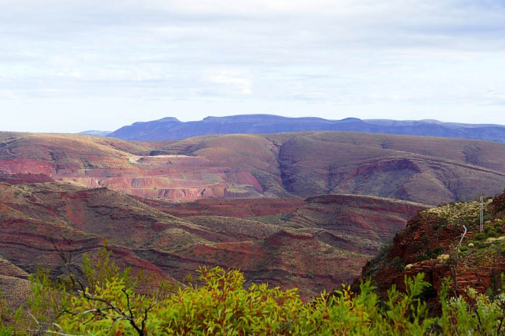
Whilst we were here, we drove the truck to the top of Mount Nameless, or Jarndunmunha as named by the traditional owners. It is the highest vehicle access in Western Australia at 1016 metres high.
The drive up was for 4WD vehicles only, quite challenging and impossible if wet, but the view from the top was spectacular.

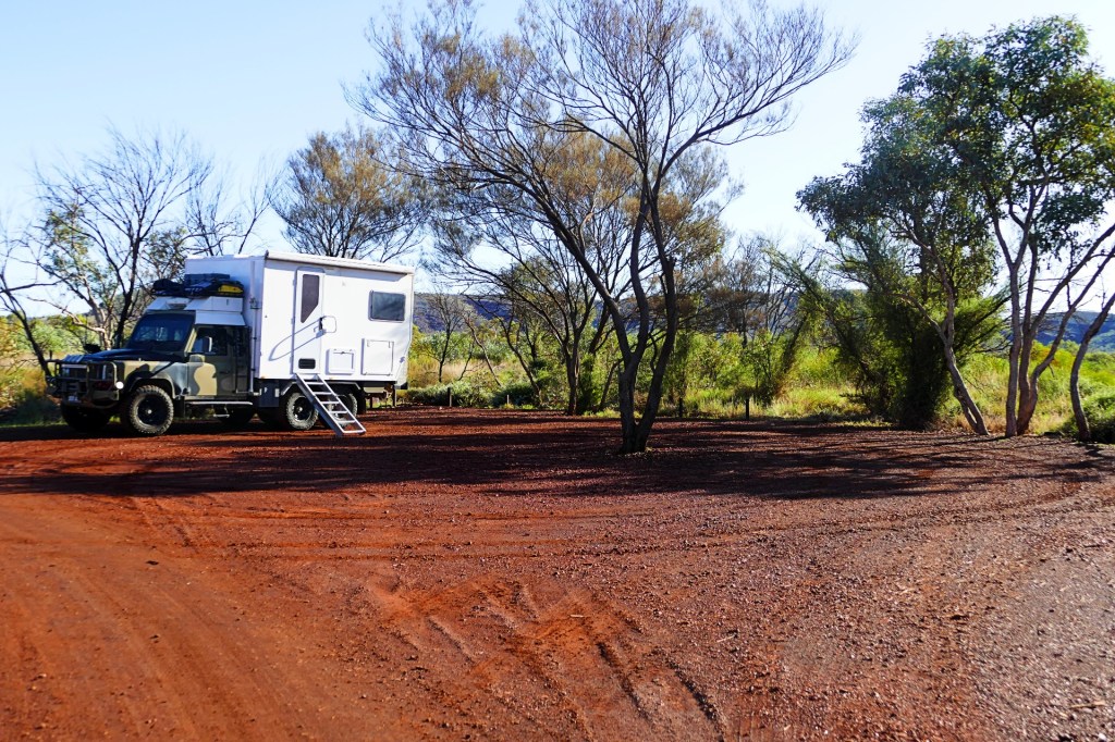
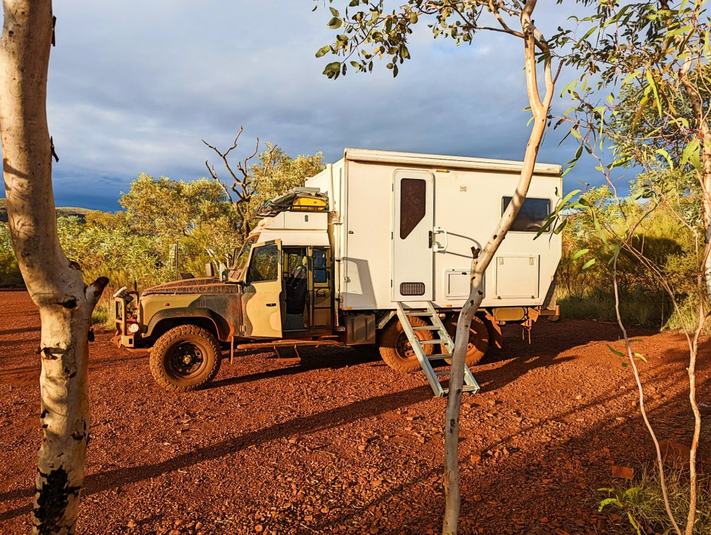
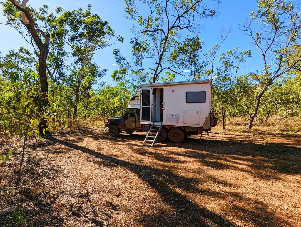
Tonight we spend the night at a little free camp just out of Tom Price called the Tiger Eye camp. And yes, there are lots of beautiful rocks around, many of them tigereye.
This camp is up there with some of our best camp sites, so pretty.


Day 122, Tuesday the 7th June, 2022
We spent most of the day doing errands in Tom Price, then headed off to a free camp site called the Buddha campsite which is close to the Hammersley Gorge. We wanted to do that last gorge tomorrow.

Day 123, Wednesday the 8th June, 2022
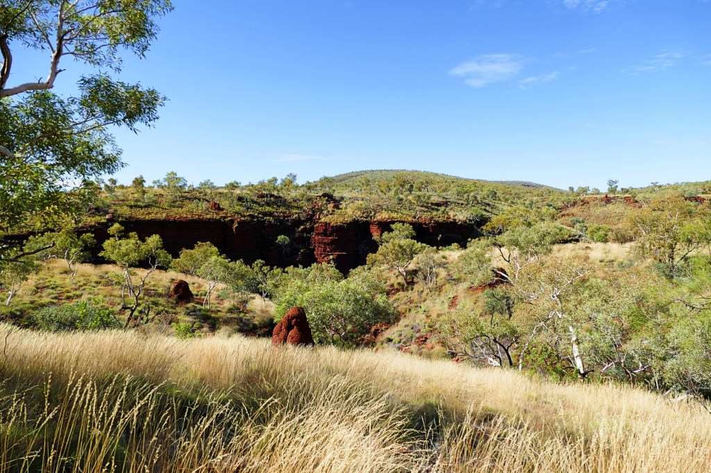
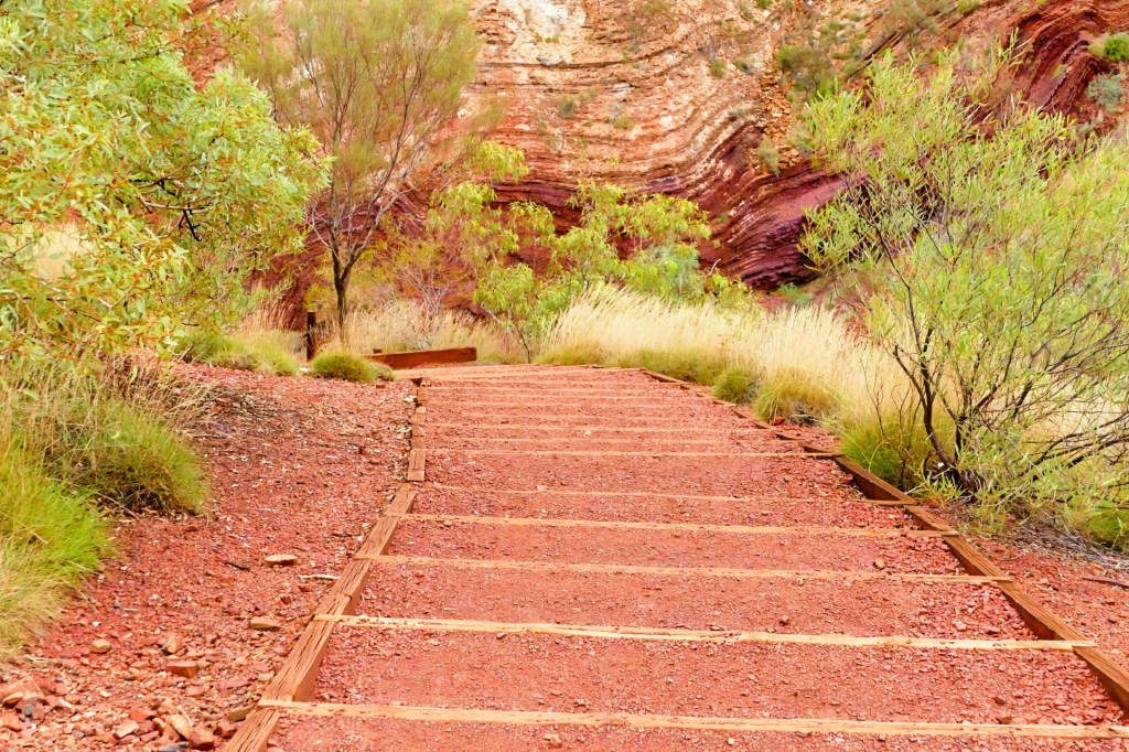
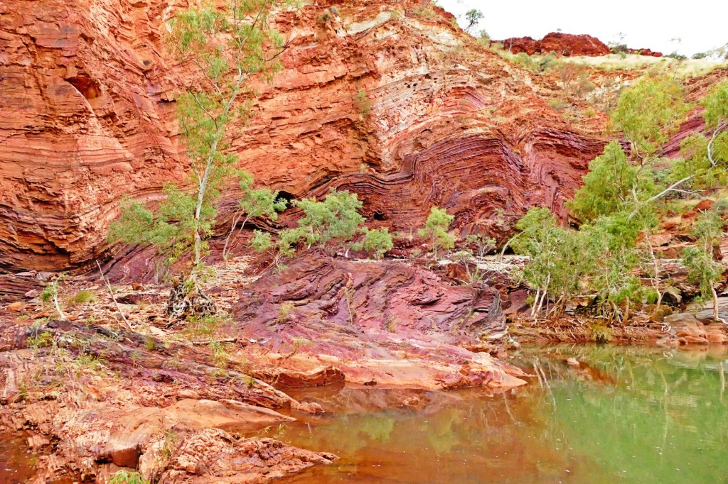
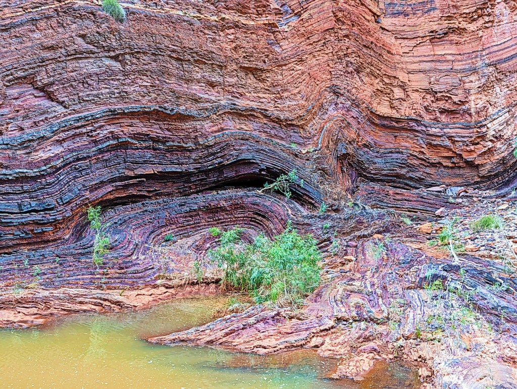
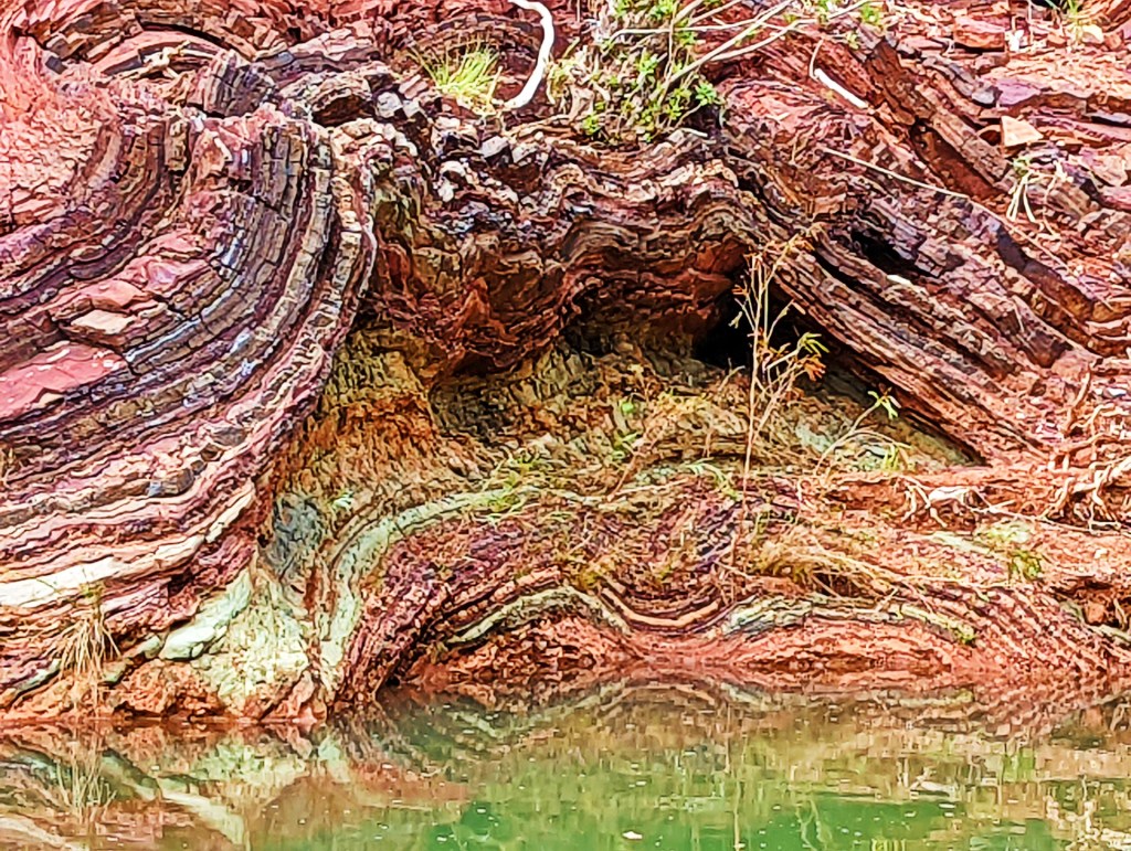
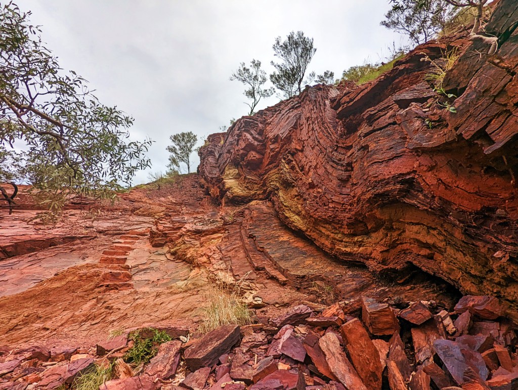
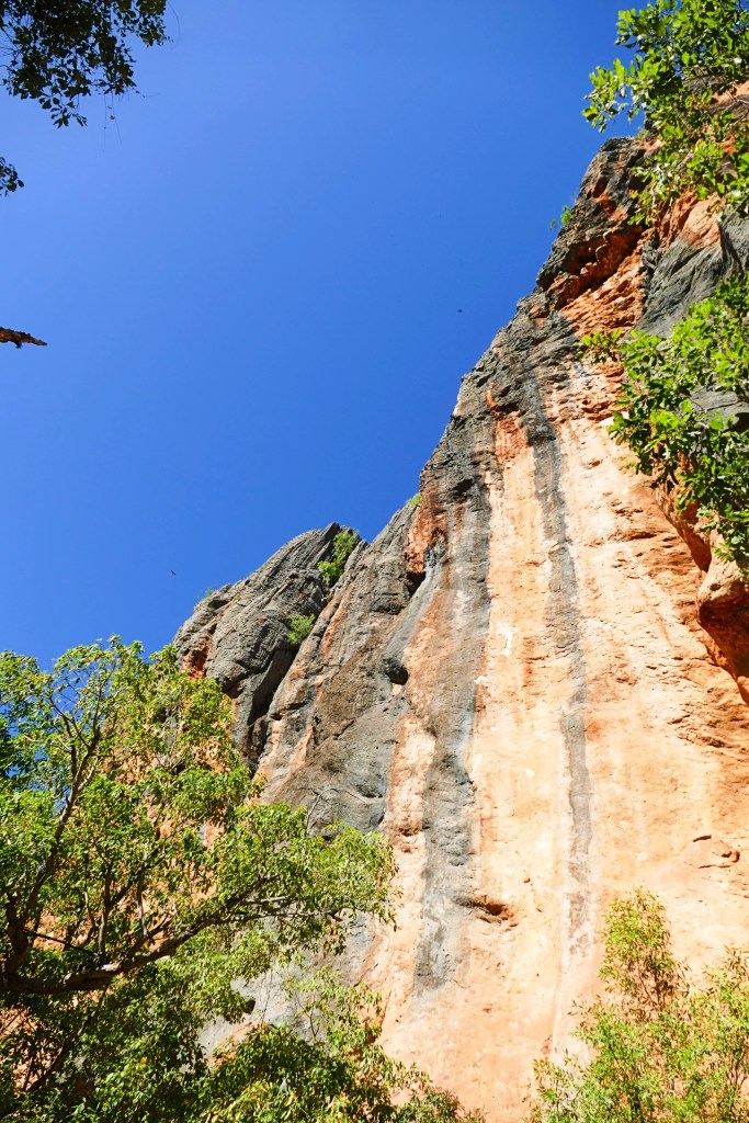
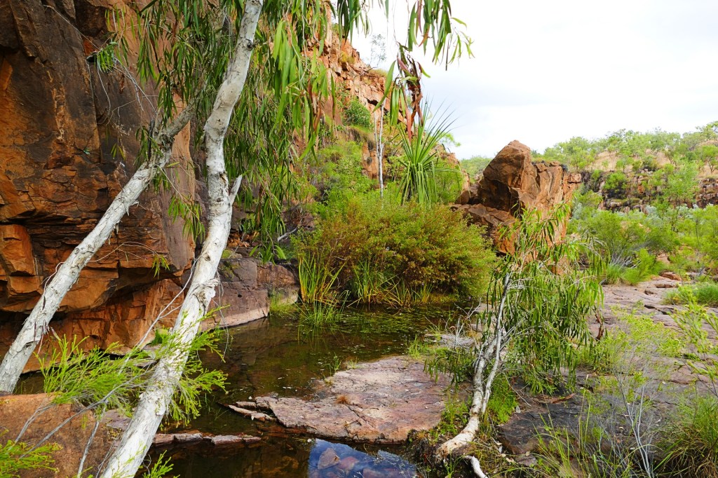
We woke to a cloudy cool day. we had decided to do one last gorge, Hammersley Gorge, which was on the way out.
Hammersley Gorge was only a small walk, approximately 400m, However it went from a class 1 at the top to a class 4 to get to the waterfall and a class 5 to get from the waterfall to the main attraction which was the Spa Pool.
It was also a great swim gorge, it had a great pool to swim in, it also had a bit of a river where you could float down in on a floatation device and it had “The Spa”, which had a waterfall into it. Unfortunately for us, the weather did not lend itself for a swim.
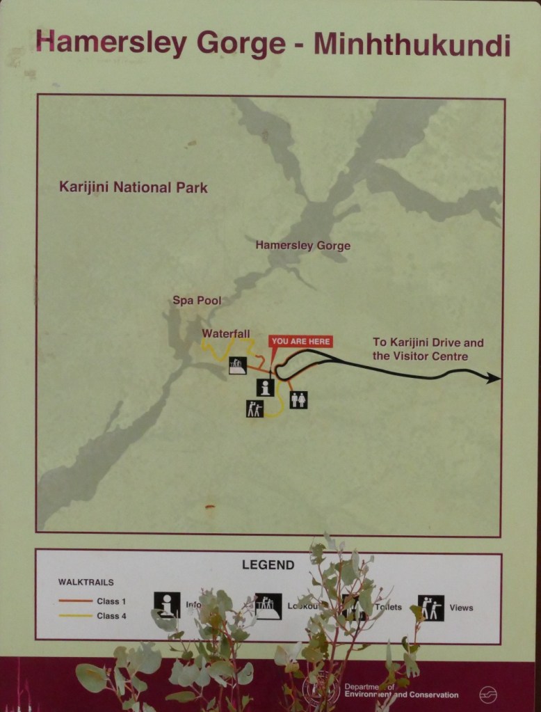
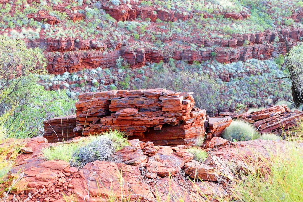
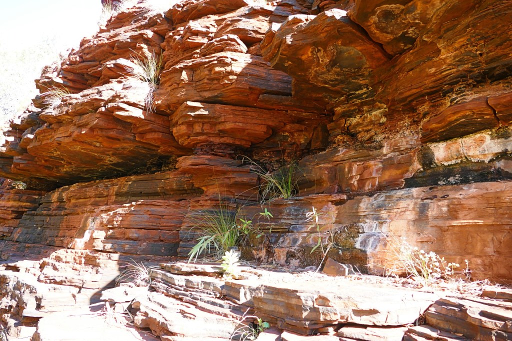
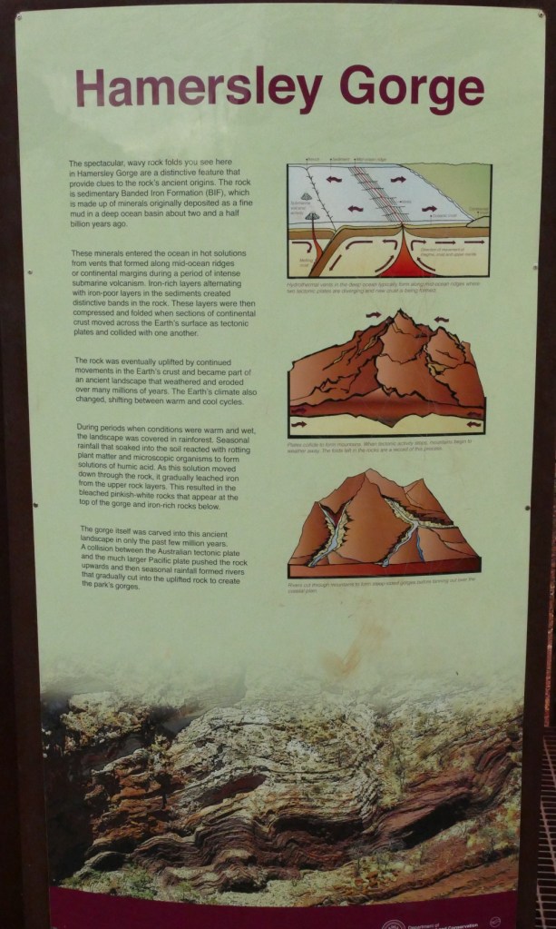
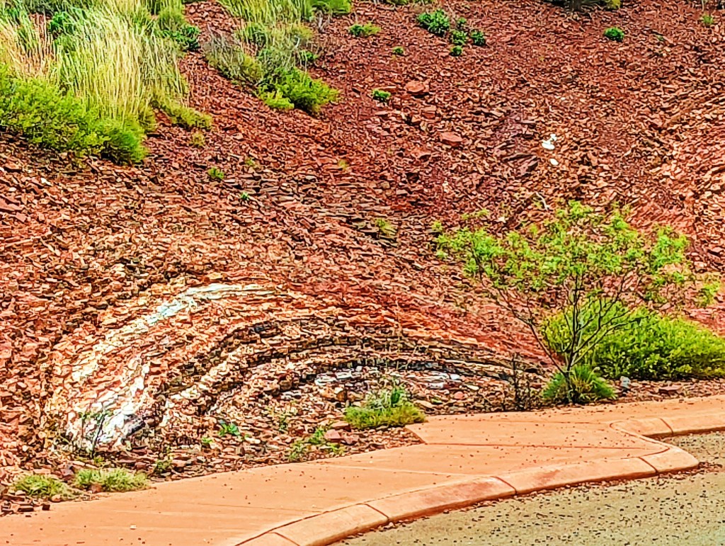
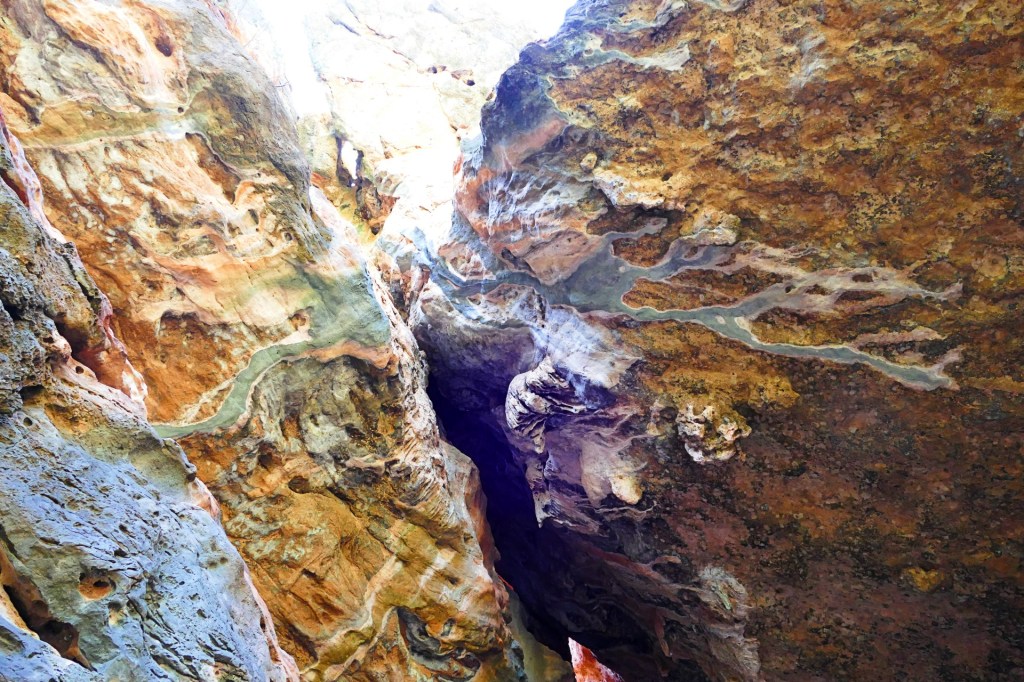
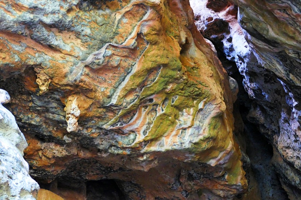
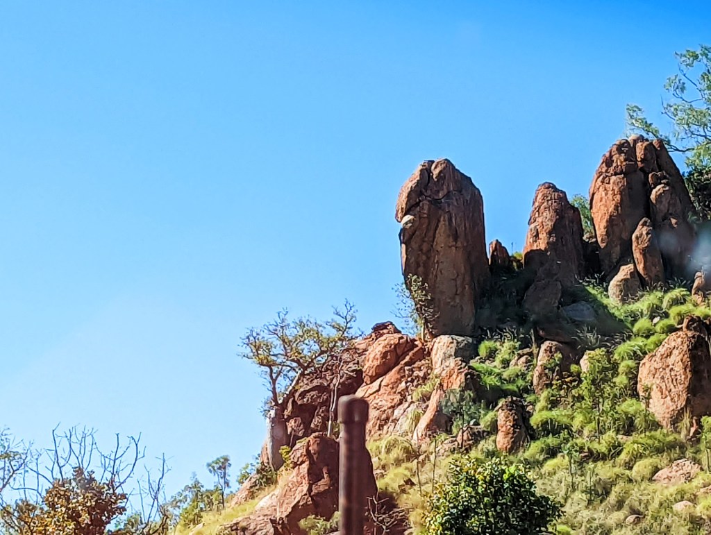
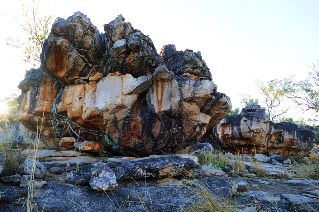
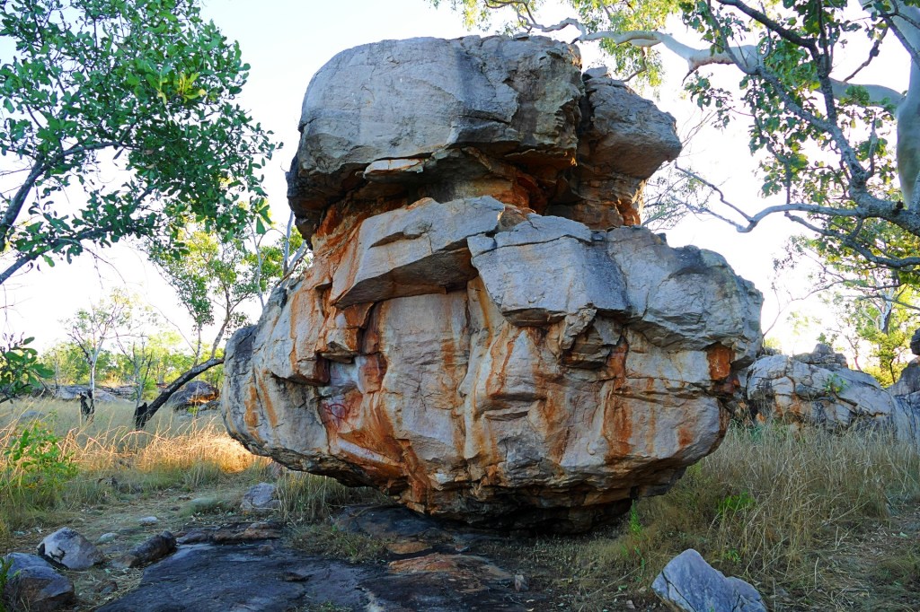
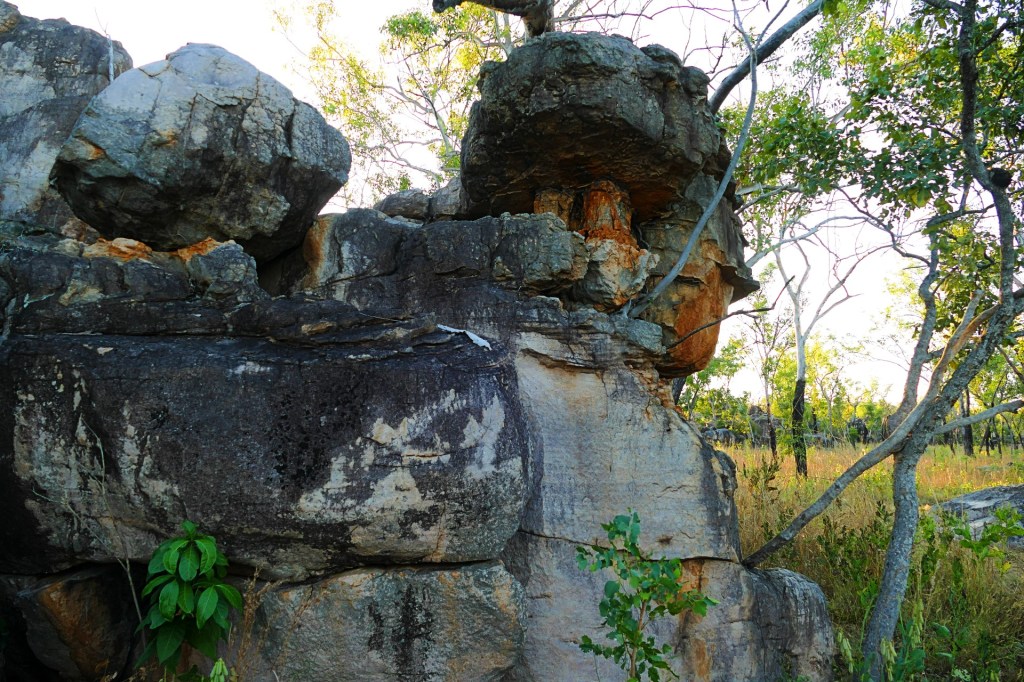
The other distinguishing feature about the Hammersley Gorge, was the rock formations, they were amazing

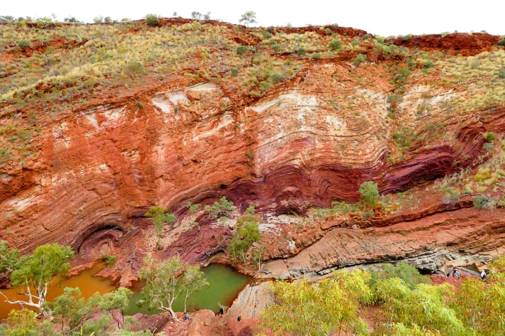
The other distinguishing feature about the Hammersley Gorge, was the rock formations, they were amazing

Day 124, Thursday the 9th June, 2022
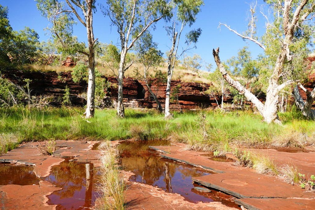
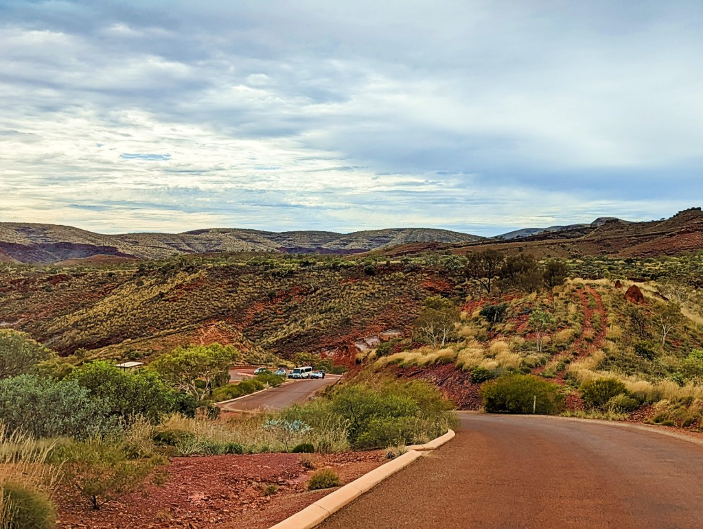
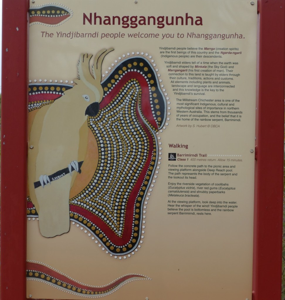
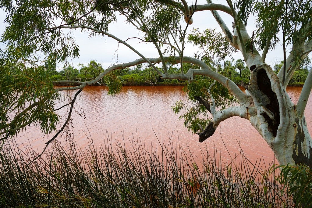
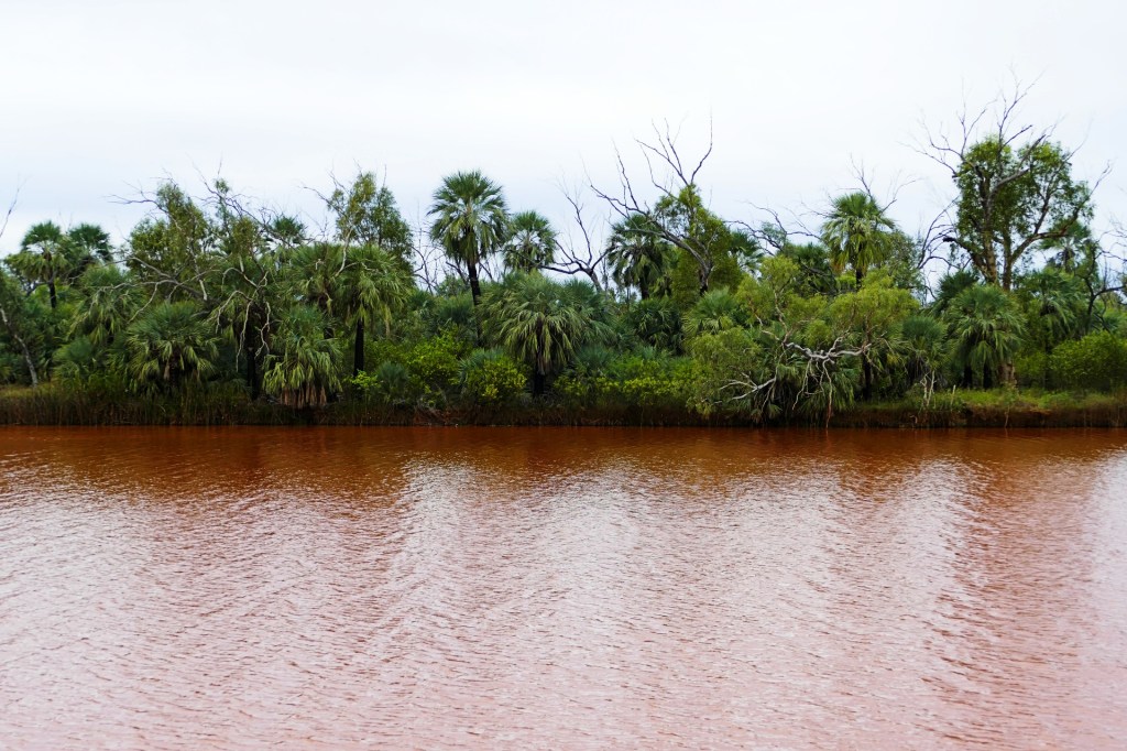
We drove to the Millstream Chichester National Park today, it was still cloudy and a bit cool.
We visited the Deep Reach river first.
The river was very muddy due to the recent heavy rains, so we could not see the catfish and turtles usually seen here.

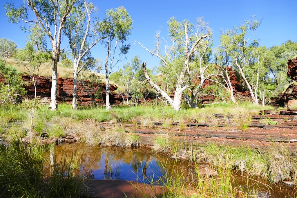
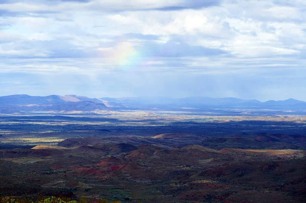
On the way to Python Pool we stopped and climbed to the top of Mt Herbert to see the view
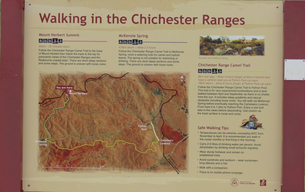
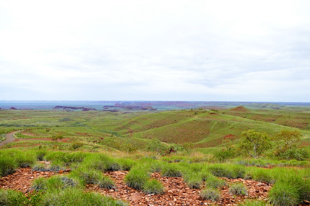
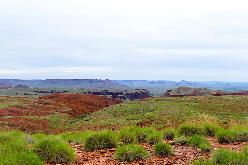
We also stopped at the Panorama lookout. Everything was so incredibly green due to the recent rains, very uncharacteristic.
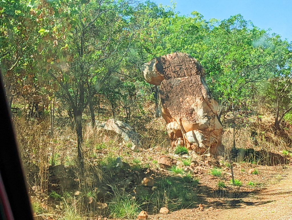
As we drove along we saw many sights
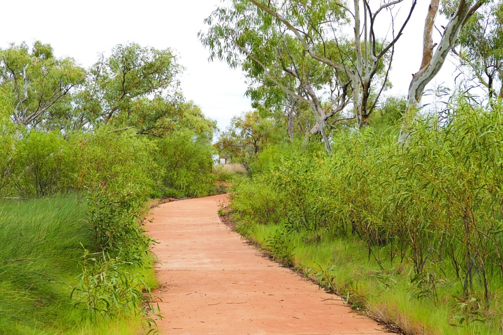
We finally reached our main destination for the day, Python Pool – this is the main attraction for this National Park. We just wished that it had been a nicer day and we would have had a swim.
The walk to the pool was only 600m and very easy.
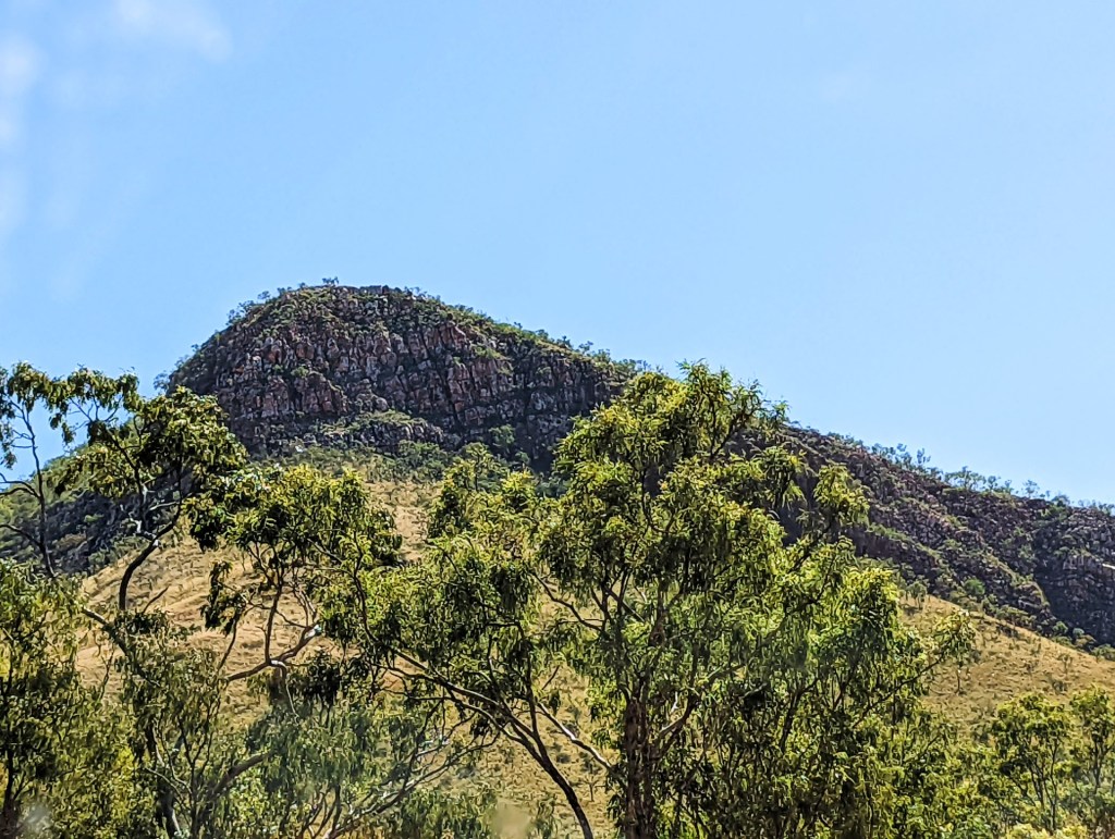
Driving between destinations was just as pretty

We spent the night at a free bush camp in the national park by Nareena Creek.
Day 125, Friday the 10th June, 2022
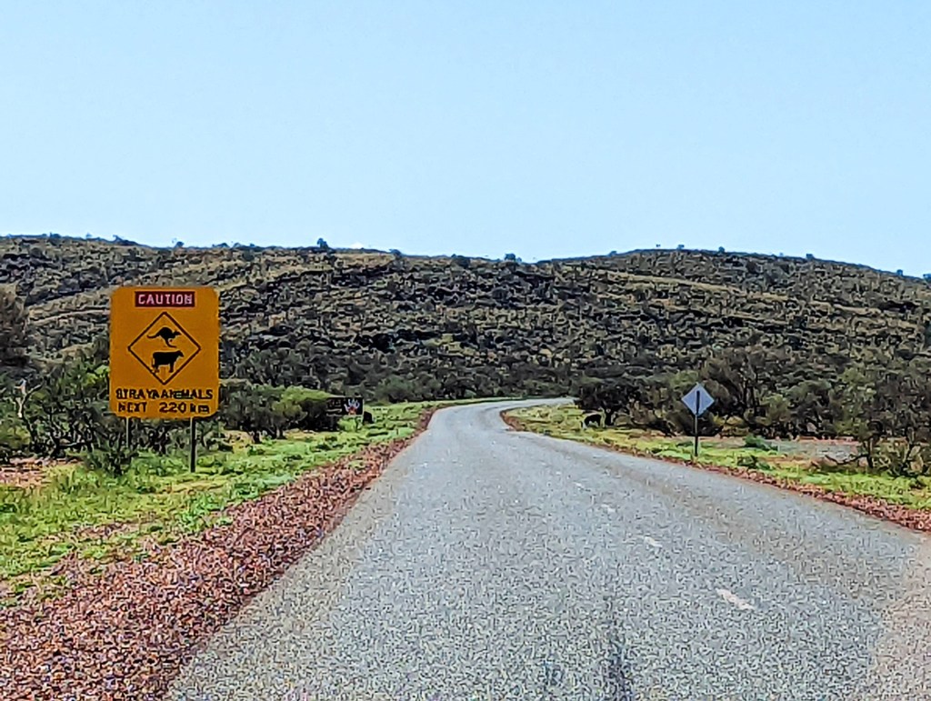
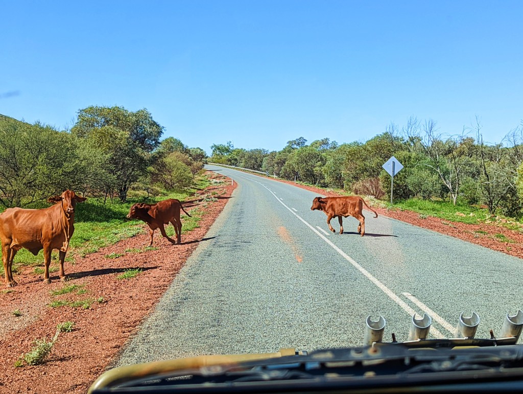
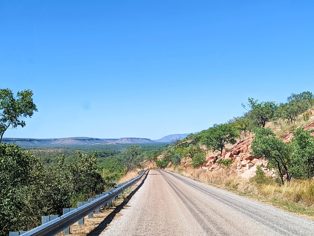
Today is a travel day, we are making our way to Port Hedland, which is on the way to Broome. Lots to see along the way. Most of the drive was through stations, I wonder what it is like to own land that has these natural wonders on them.
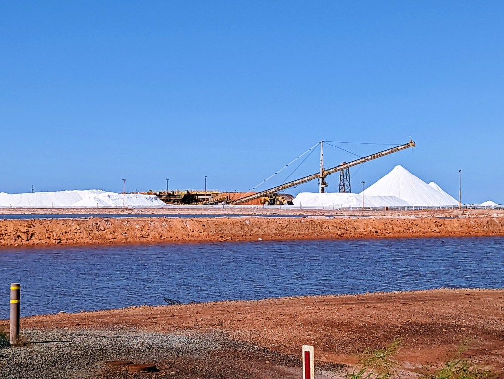
Port Hedland is a very industrial town, Rio Tinto, BHP and Fortescue Mining Group to name a few.
We spent the night in the Turf Club, which has been set up to allow caravans and motor homes who are completely self contained to camp there short term for free whilst visiting Port Hedland.
Day 126, Saturday the 11th of June, 2022
We left Port Hedland and continued our trip up to Broome, we had accommodation booked in Broome from the 13th June, so we had 2 days to make our way up.
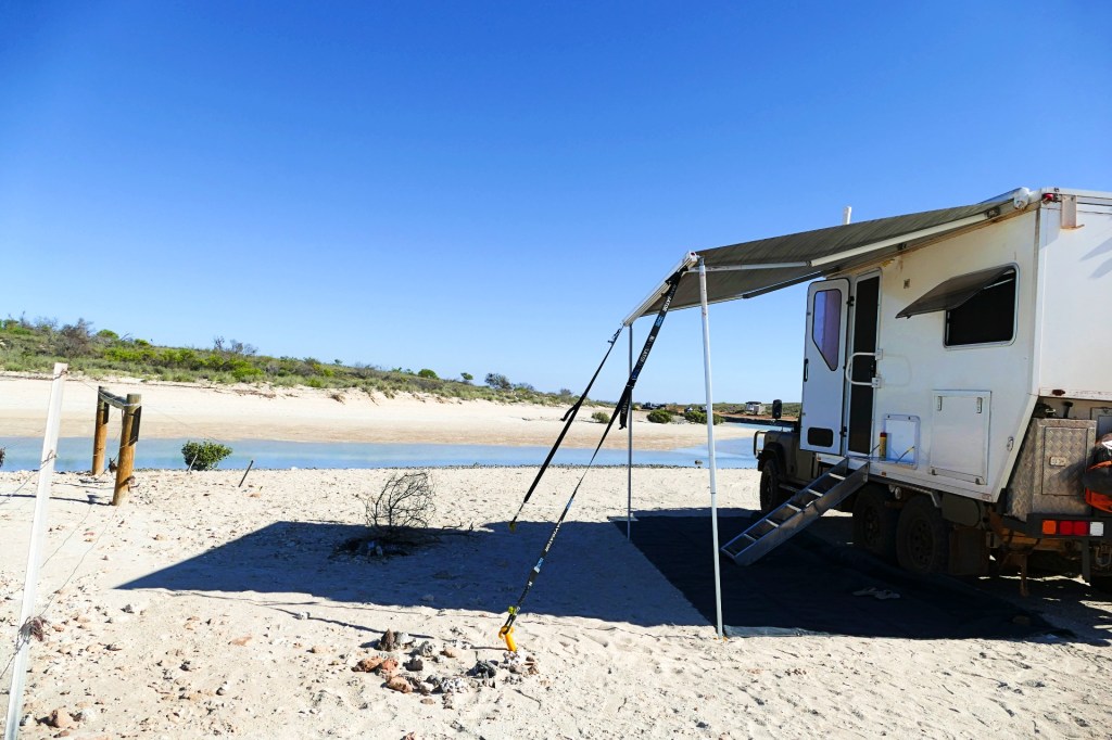
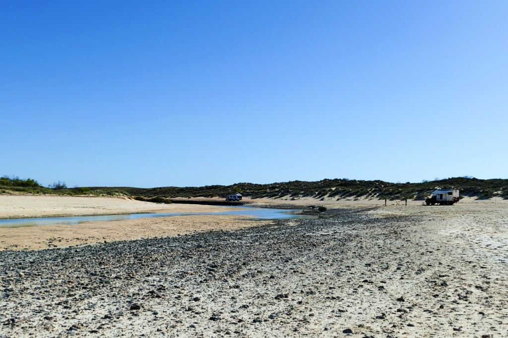
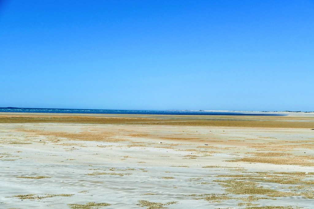
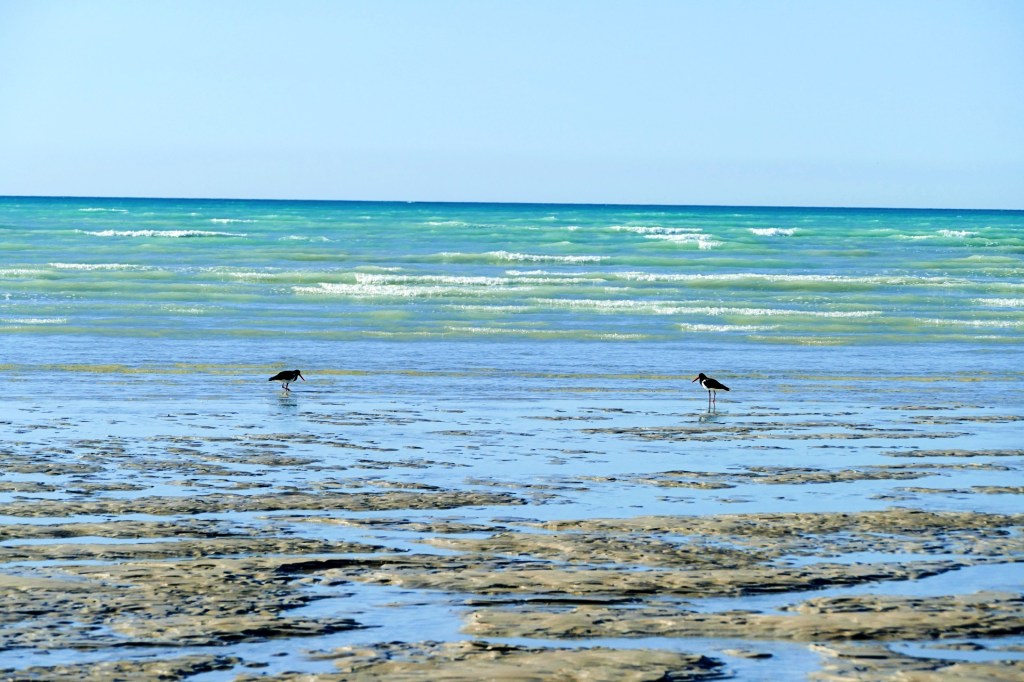
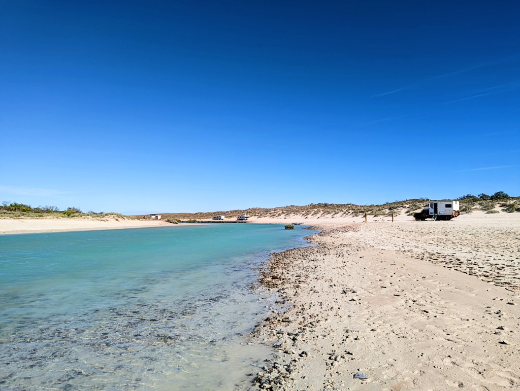
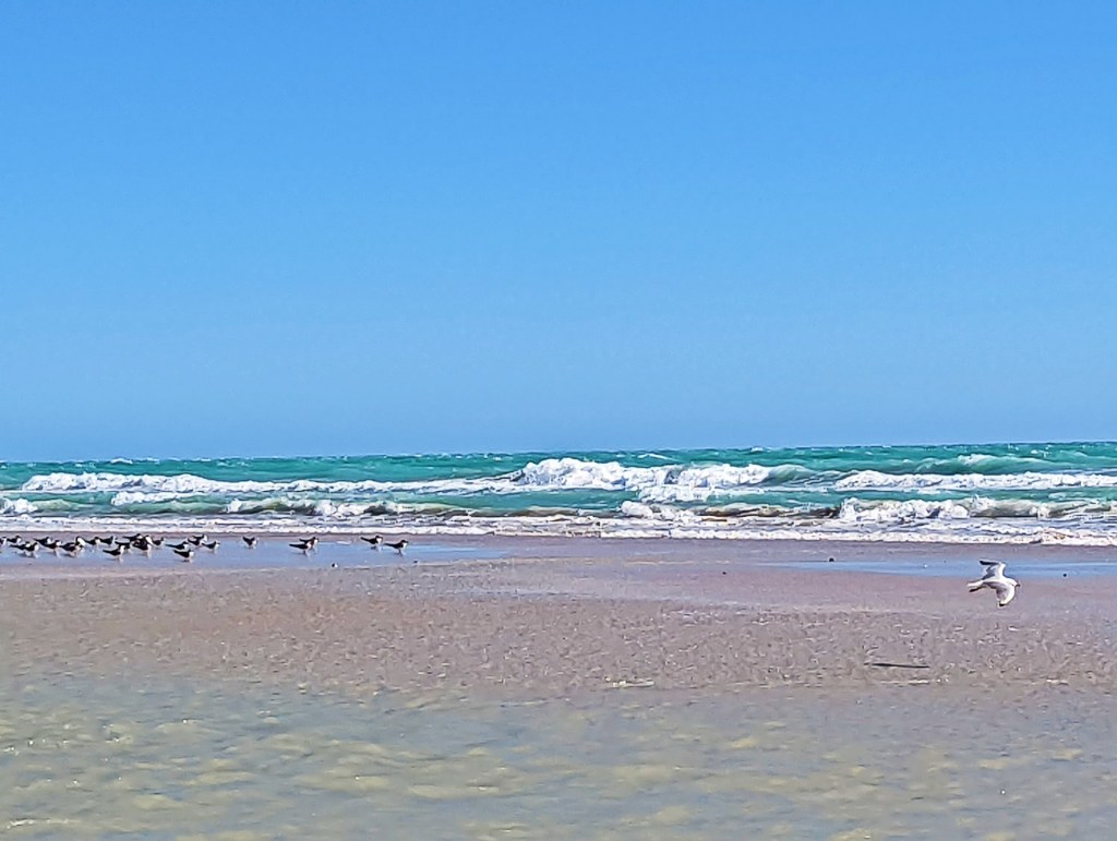
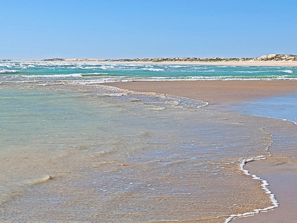
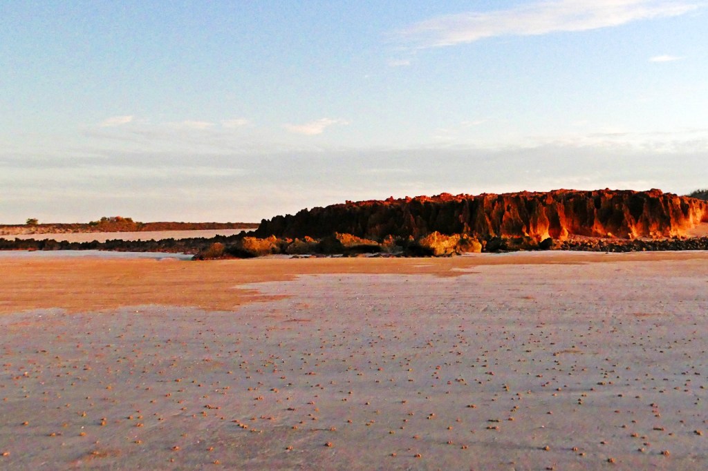
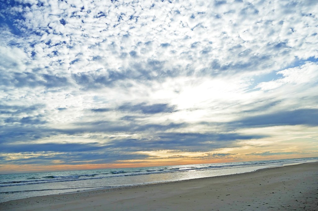
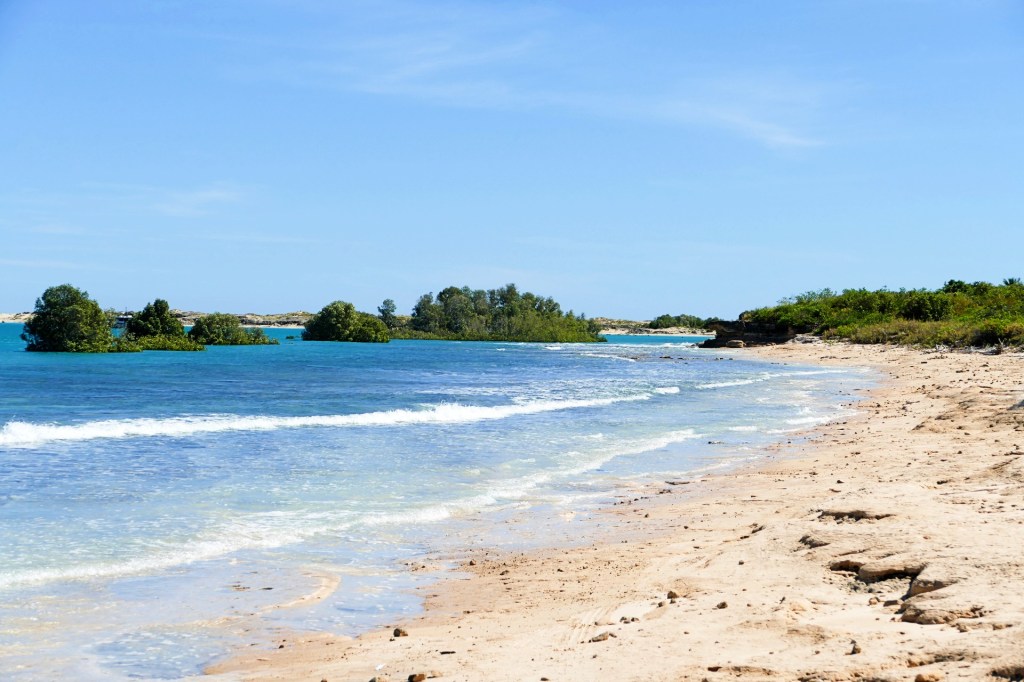
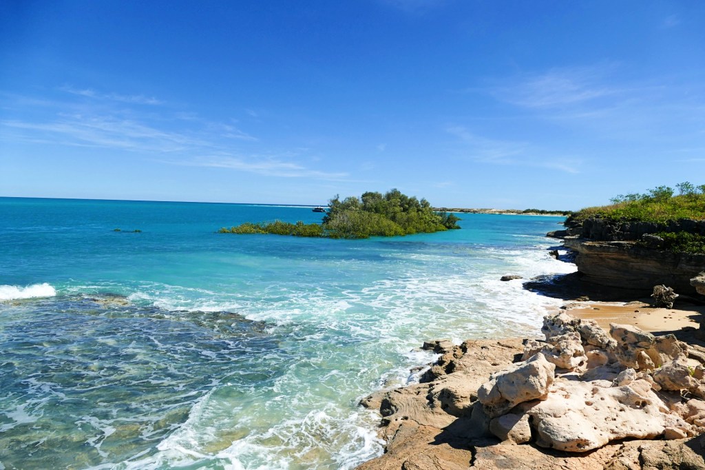
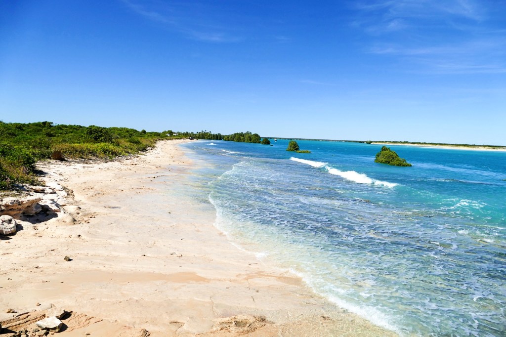
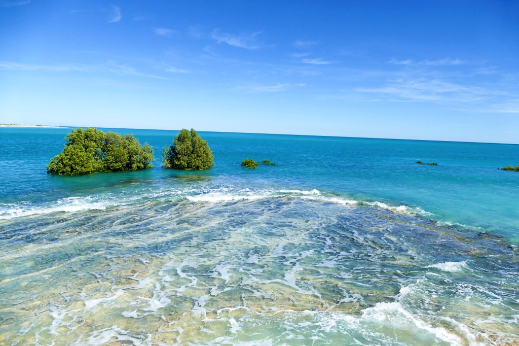
We decided to spend the night at a beach camp called Cootenbrand Creek camp ground, just off Cape Keraudren. The beach was beautiful, we camped on the little creek that emptied onto the ocean.


Day 127, Sunday the 12th June, 2022
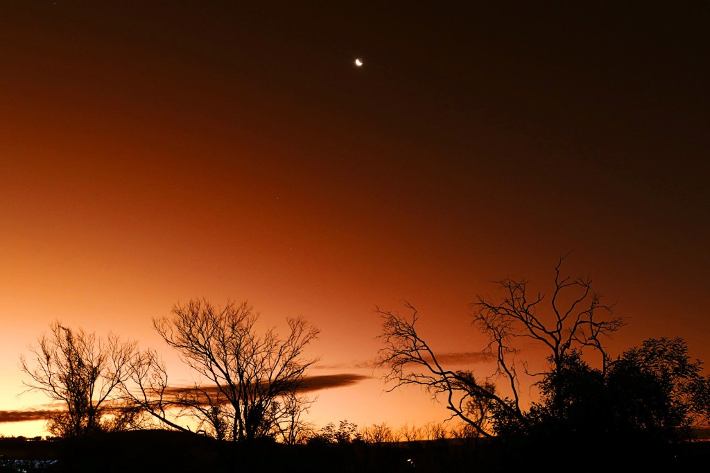
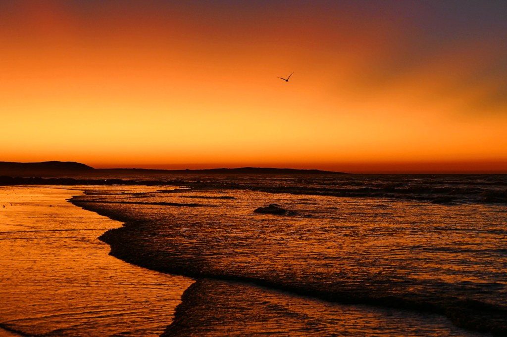
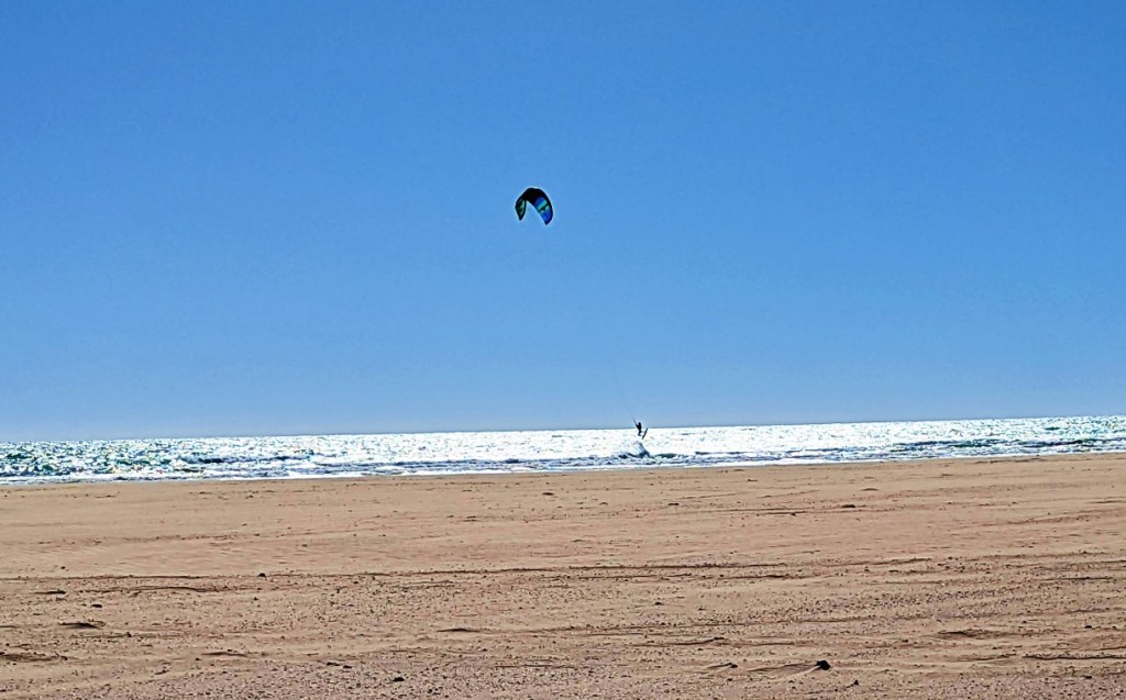
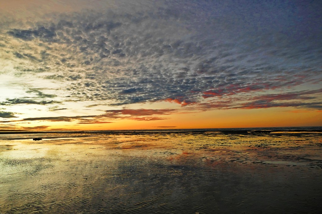
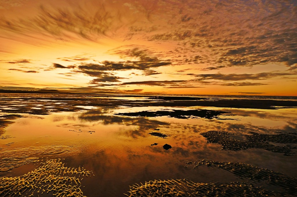
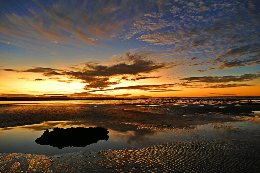
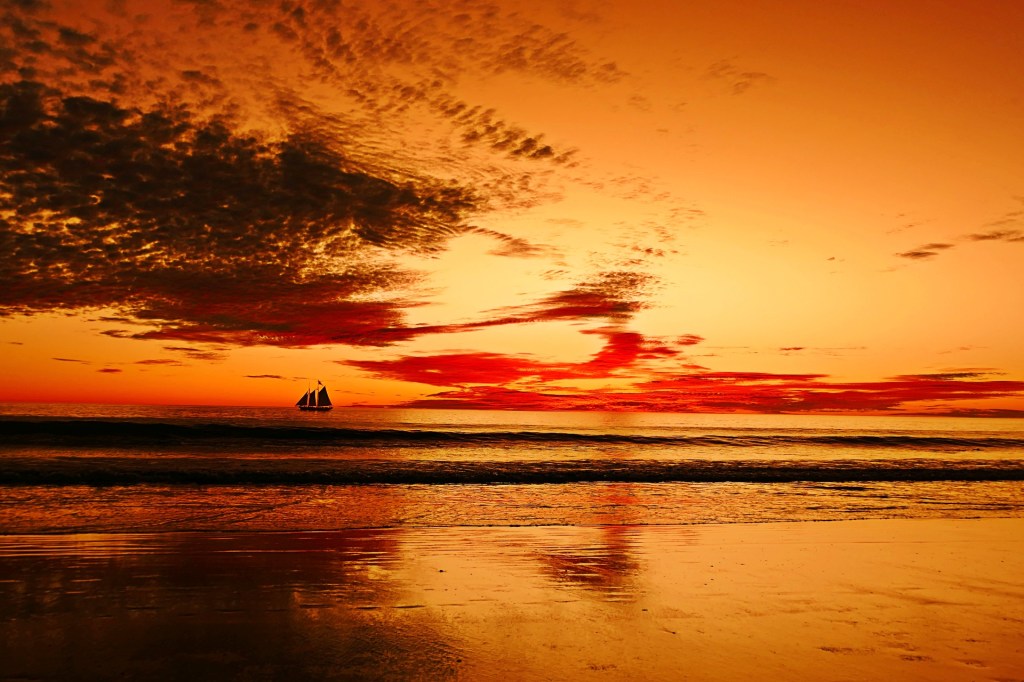
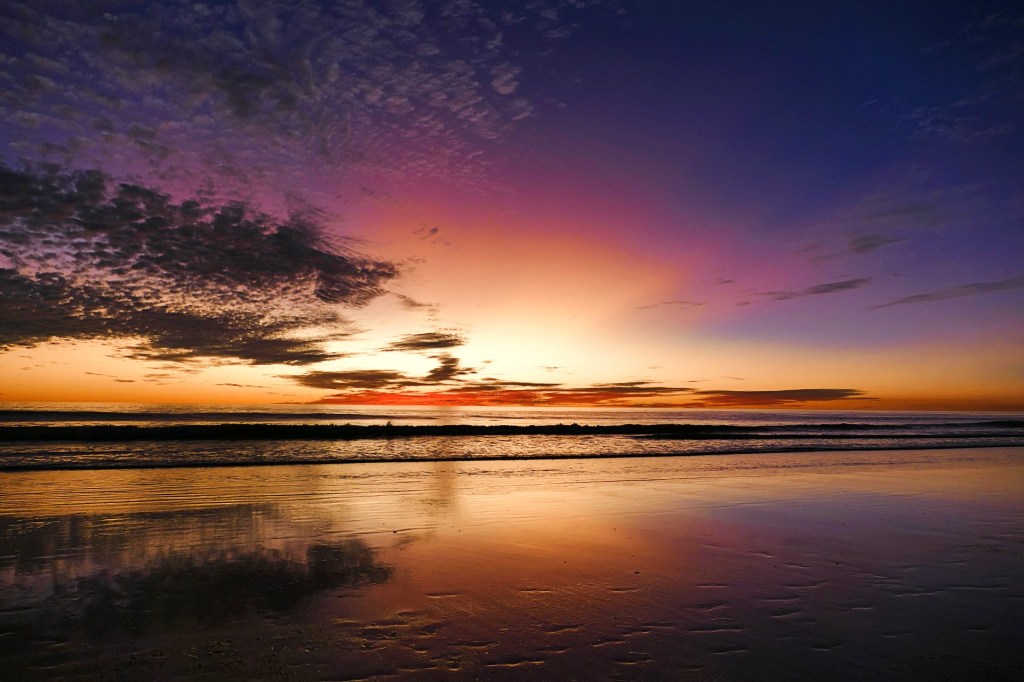
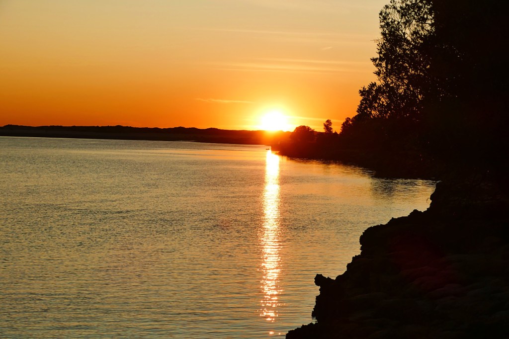
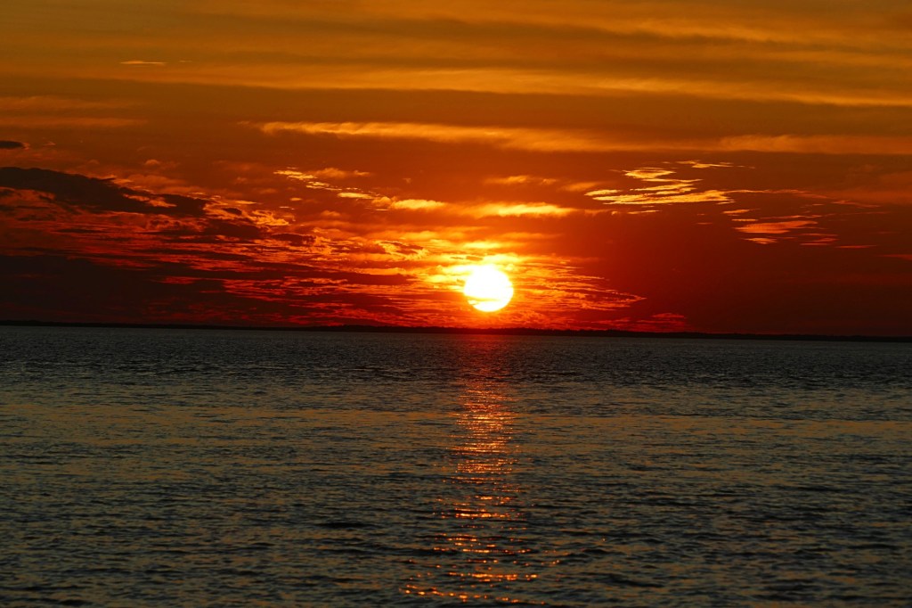
We woke to a sunny but very windy day. The tide was in, a kite surfer was doing his thing. The winds eased by afternoon and were non existence by evening, some clouds had appeared, which gave an even more beautiful sunset.
We decided to stay another night as it was such a pretty spot and we were only 466km from Broome, we could drive that on Monday.

Day 128, Monday the 13th June to Day 131, Thursday the 16th of June, 2022
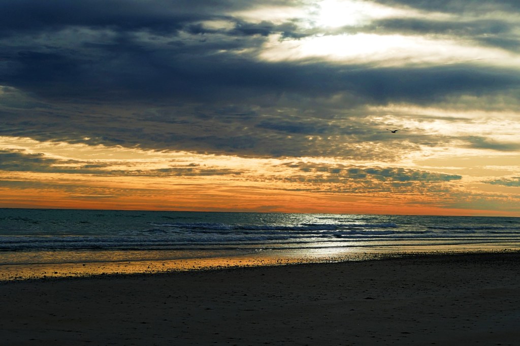
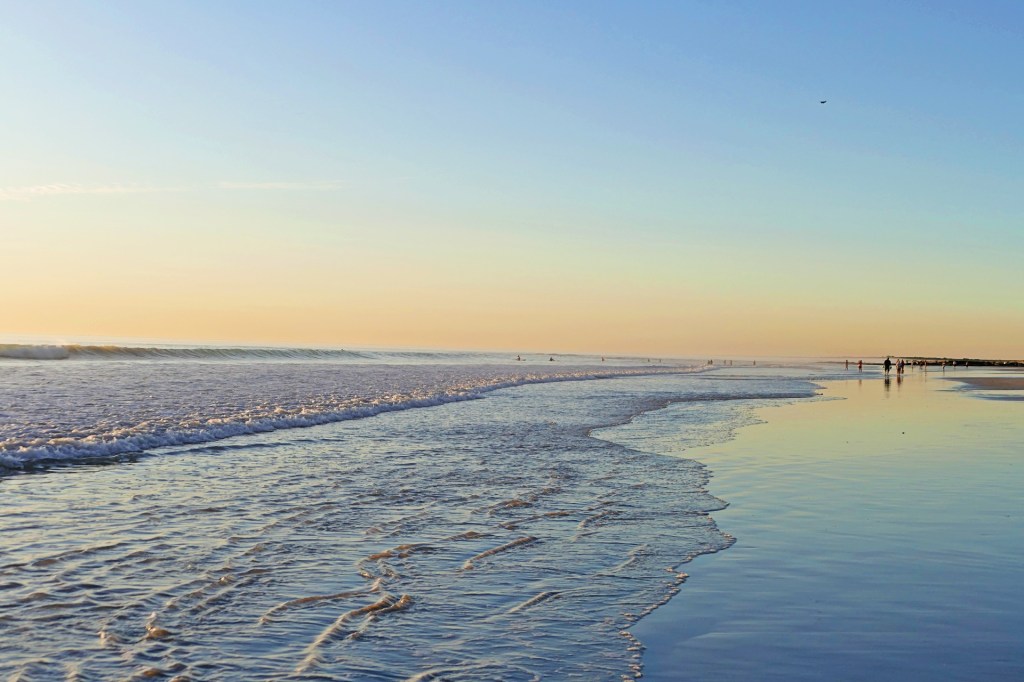
We woke early , watched the tail end of the sunrise over the ocean, which was strange when we are in Western Australia.
We then drove the rest of the way to Broome. We are camped at the RAC Cable Beach Caravan park till Friday Morning.
We decided to walk to cable beach, which was just behind the caravan park and watch the sunset.
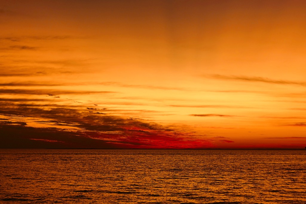
Cable beach is iconic, and lived up to its reputation, the sunset was also spectacular, there were lots of people there with us watching the sun set over the ocean.
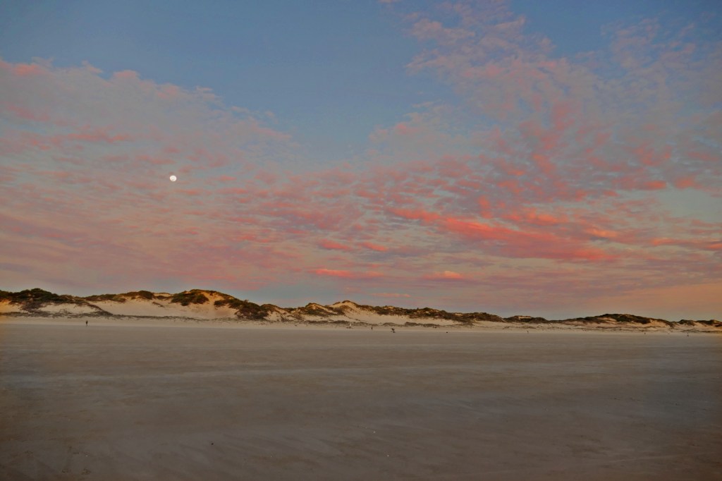

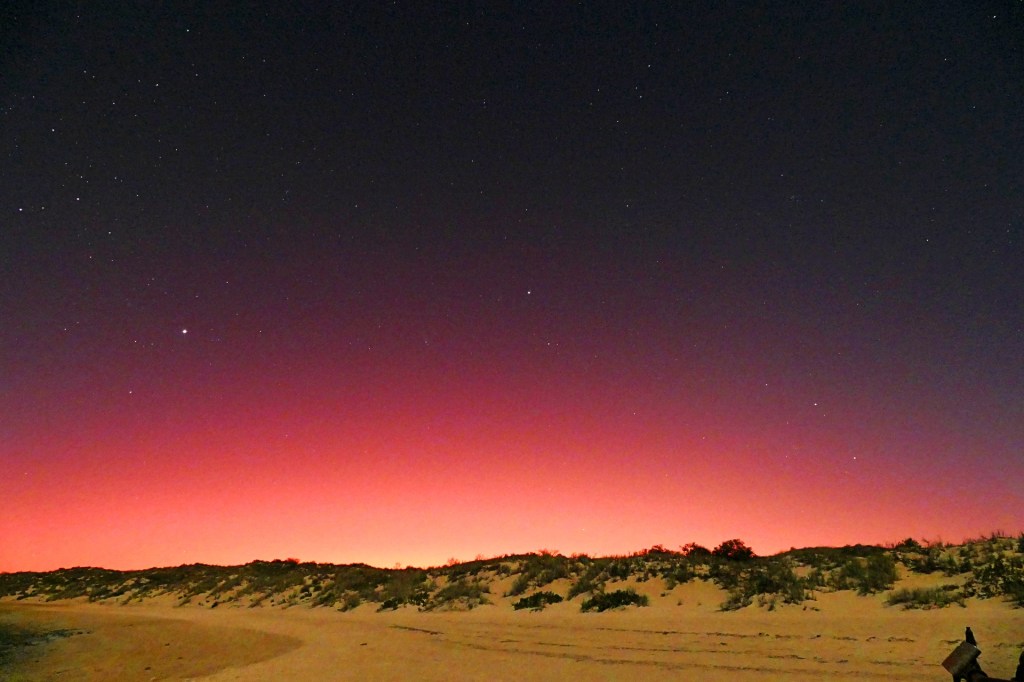
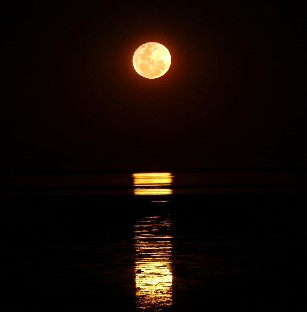
On Wednesday the 15th, we sat on the town beach and watched the phenomenon called the “Staircase to the moon”, it happens once a month for 3 days. They also have markets at the same time. This was quite spectacular watching the full moon rise over the ocean.
Day 132, Friday the 17th June, 2022
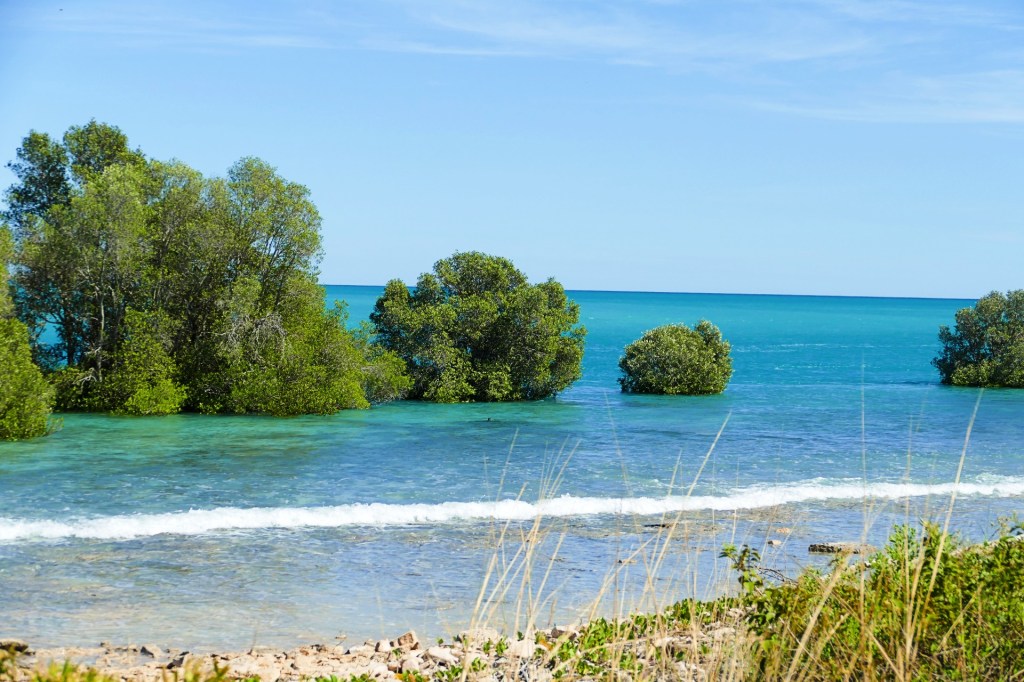
Today we camped at a free camp area just outside of Broome called the Willie Creek Camp ground. This Camp ground is right next to the Willie Creek pearl farm.
Day 133, Saturday the 18th June, 2022
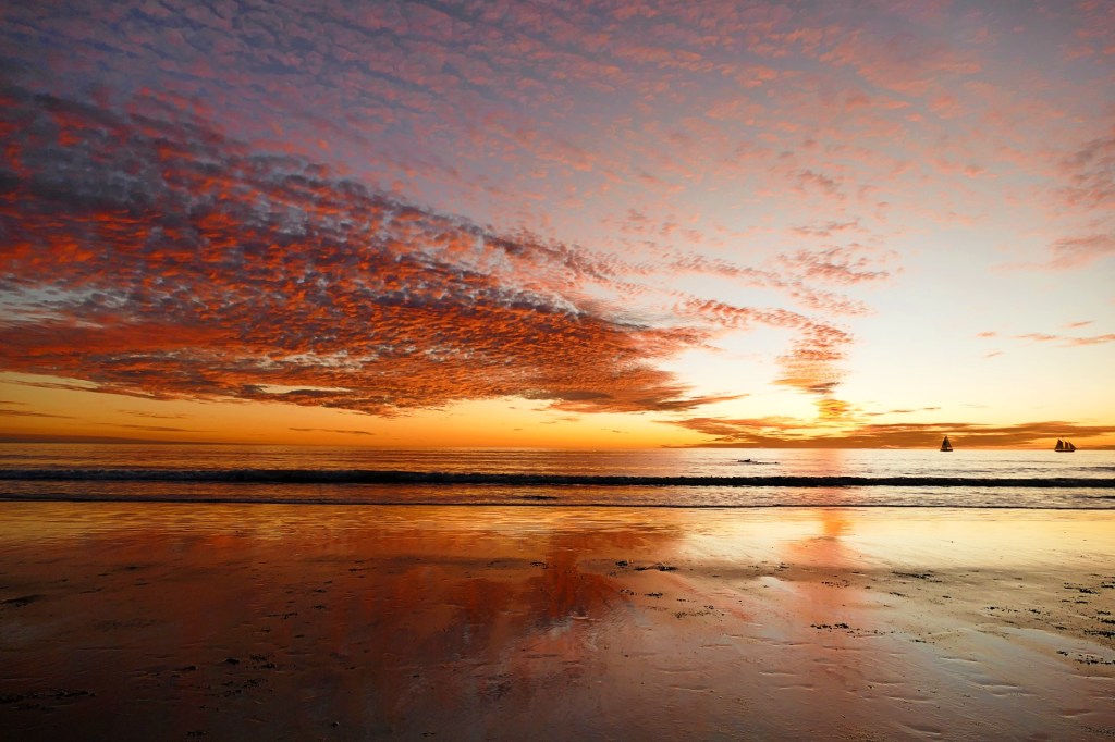
We are back in Broome today, we are spending the night at the Cable Beach Caravan Park, and I watched the sunset over Cable Beach one more time
Whilst taking photo’s of the sunset on Cable beach, I met a very lovely couple, Marnie and Geoff as well as their fur baby Oscar. We chatted for a while while I took a few photo’s of Oscar for them. They are on holidays to Broome and I really enjoyed meeting them. You meet the nicest people when travelling.
Day 134, Sunday the 19th June to Day 135, Monday the 20th June, 2022
Sunday we leave beautiful Broome and head for Derby, we had booked a trip to the Horizontal Falls, but unfortunately that was cancelled due to pilot shortages. It was very disappointing but we decided to keep travelling.
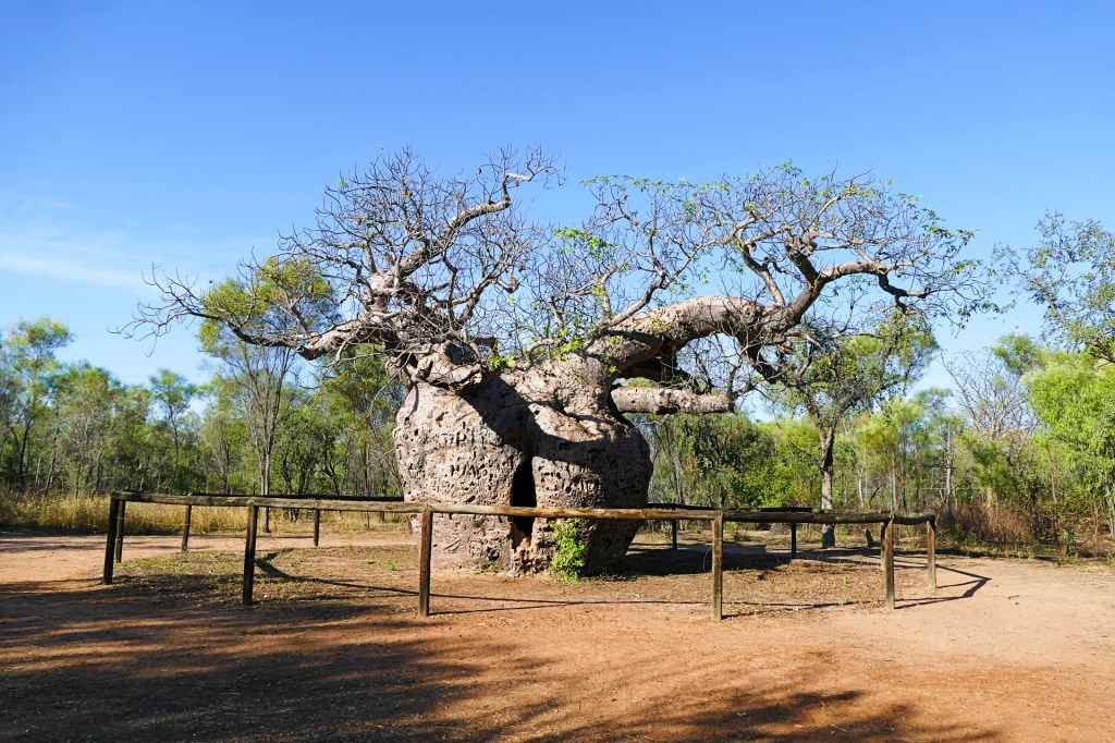
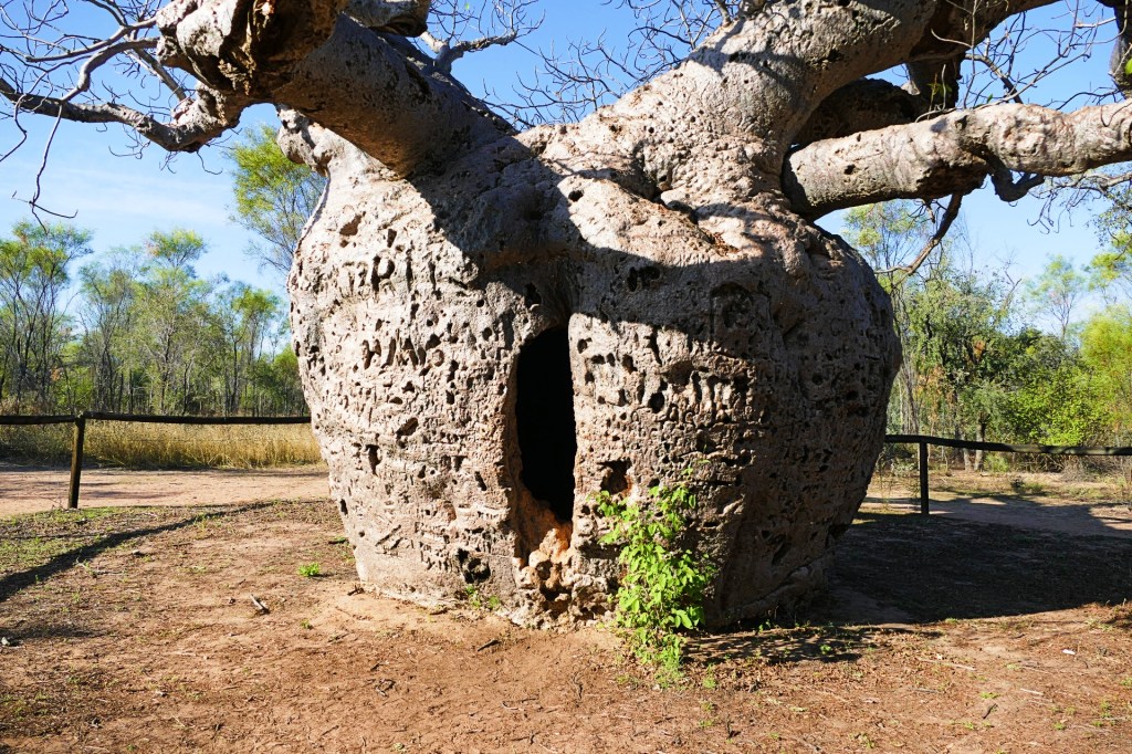
We stop at the Boab Prison Tree just outside of Broome.
In 1883, Aboriginal people were kidnapped by Blackbirders, as they were known, to be used as divers and workers in the pearling boats. The Aboriginal people were apparently held inside the tree while waiting for the boats to arrive. Sounds a lot like slavery to me. The early settlers assisted the Blackbirders thinking that by removing the young men might make the Aboriginal population more manageable.
In 1887, a gaol was built in Derby about 5 km from the prison tree. It was used to detain mainly Aboriginal people who had been accused of killing and eating livestock.
Aboriginal prisoners would be brought in from as far as Fitzroy Crossing and Christmas Creek, walking many kilometres each day in chains, they would stop at the Boab tree on the last leg of the journey.
This Boab tree is also a site of great religious significance to the Aboriginal people from this country.
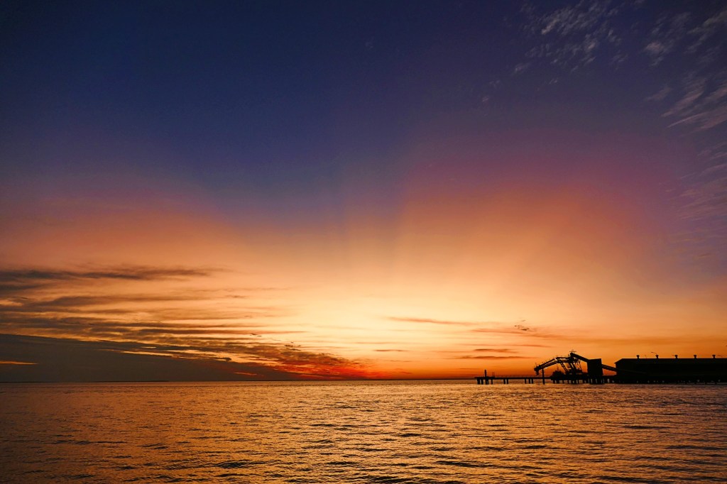
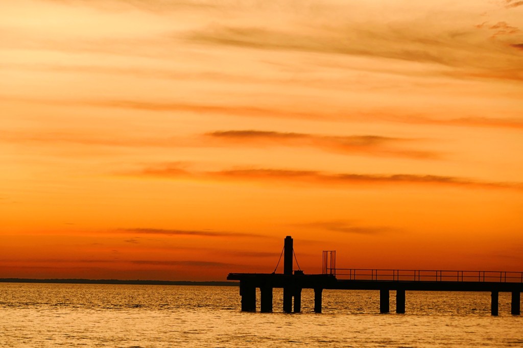
Derby is a small town, not much there, but friendly. They had a “Giant Tide” that night, we went to see what we could, but it was just where the tide came in about 10 metres in a very short time. We watched the sunset from the pier afterwards.
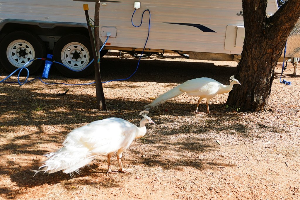
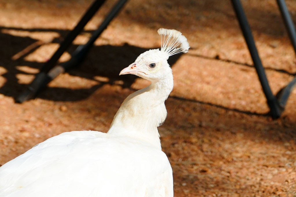
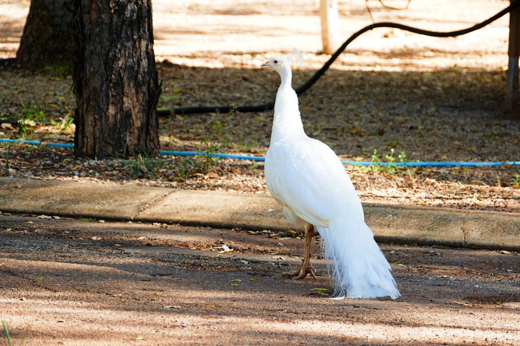
Whilst in Derby, we stayed at the Kimberley Entrance Caravan park, a nice little park, but the highlight is the white peacocks that roam free at the caravan park, very unexpected.

Day 136, Tuesday the 21st June to Day 155, Thursday the 30th June, 2022
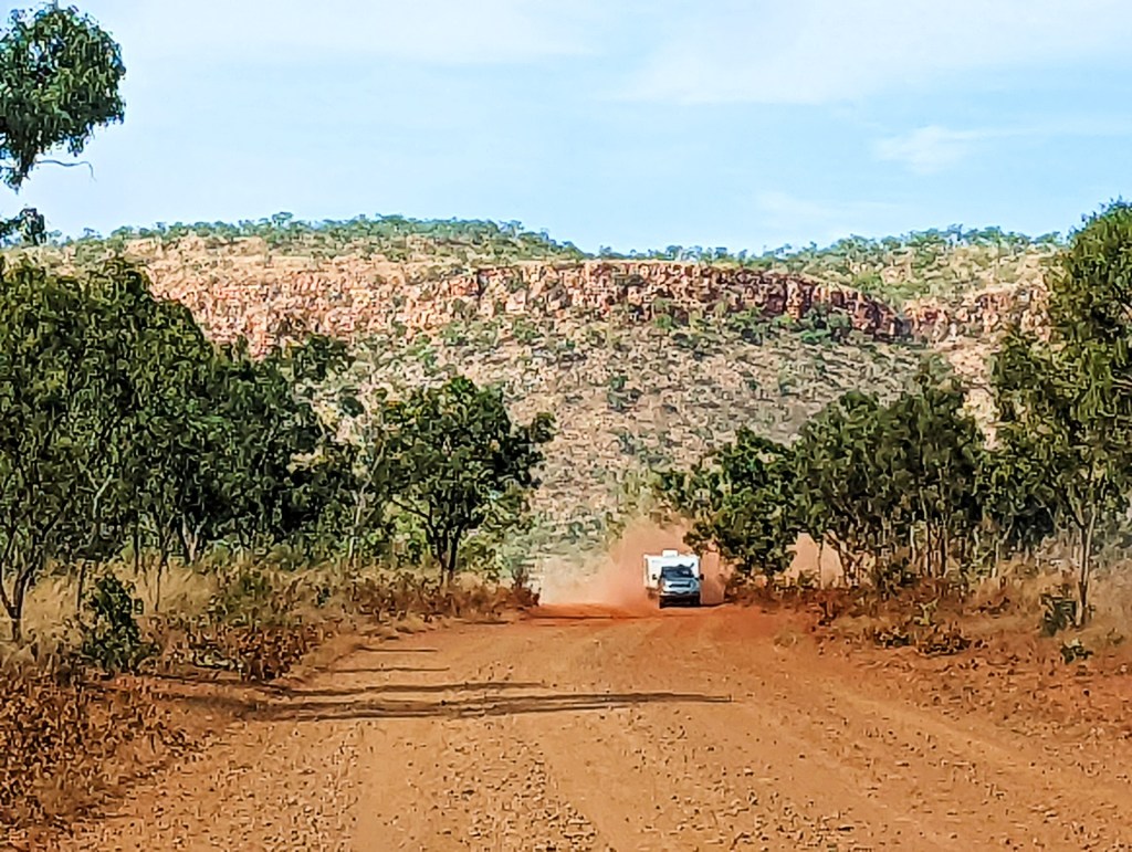
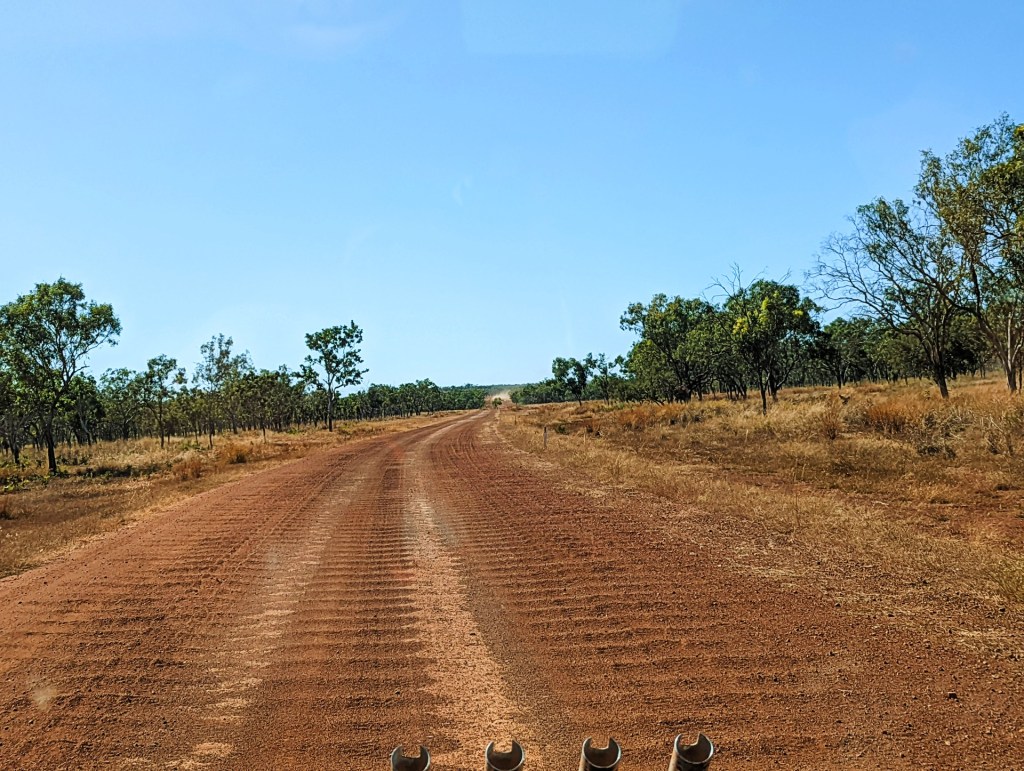
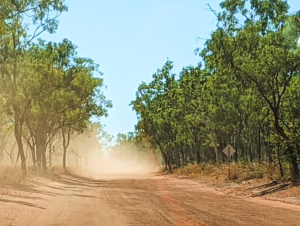
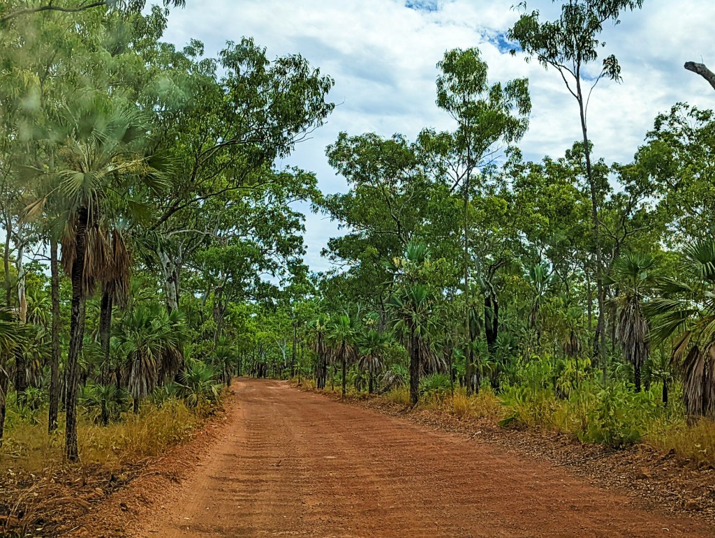
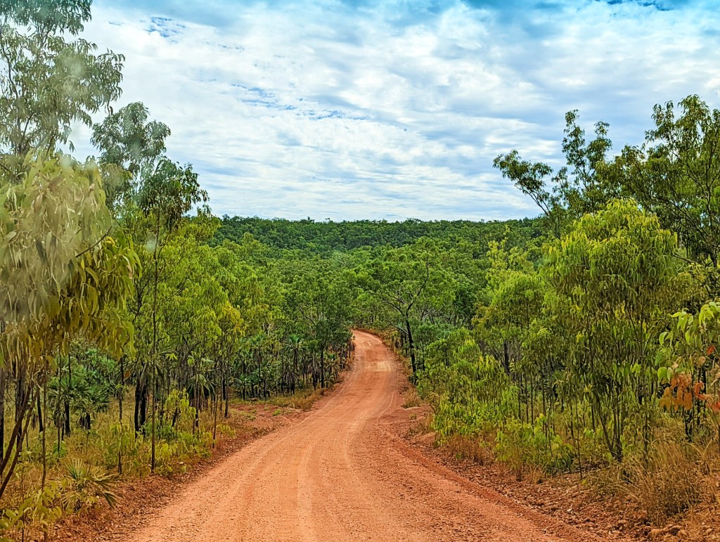
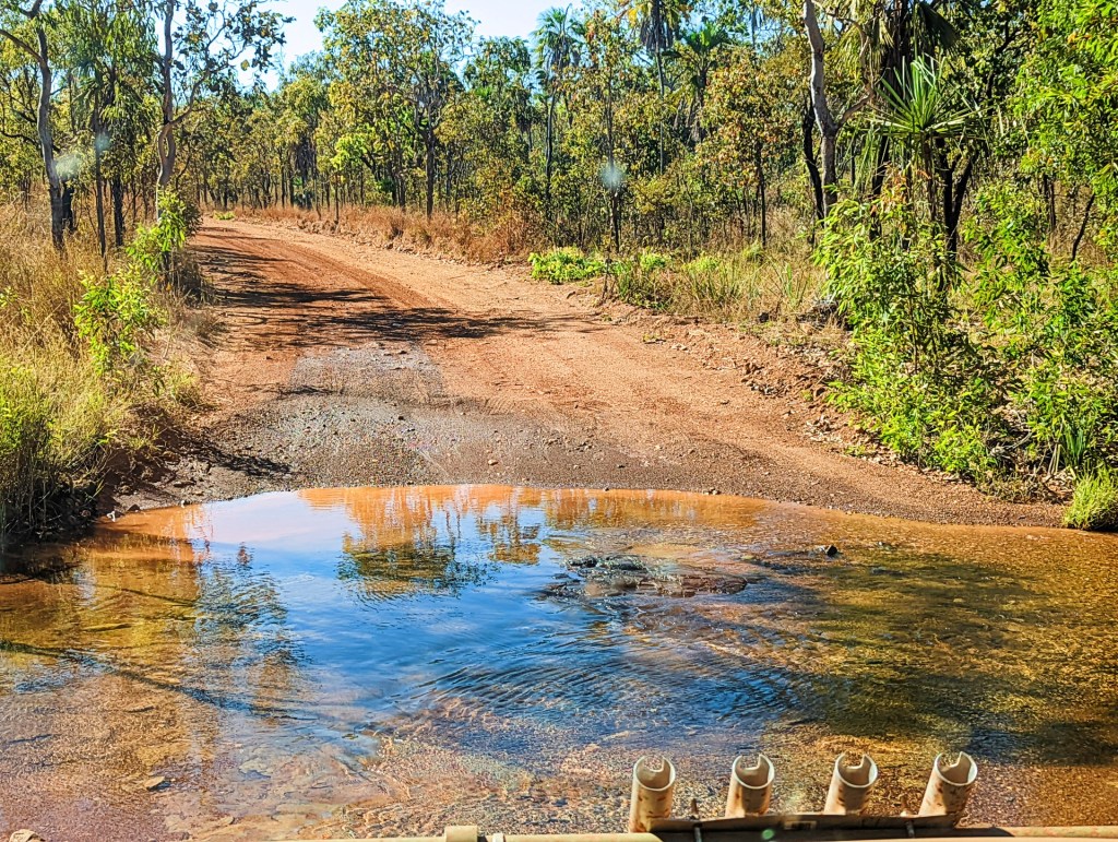
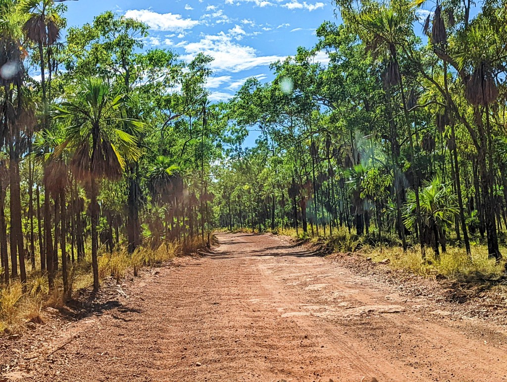
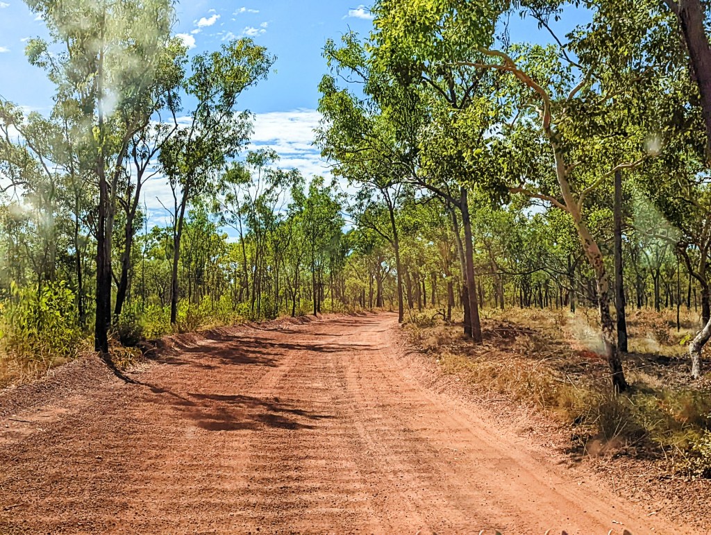
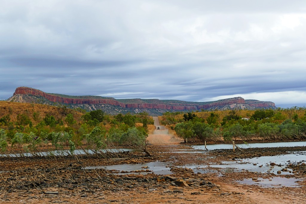
We have left Derby to do the Gibb River Road. The Gibb River Road is an iconic Australian road originally constructed in the 1960s to transport cattle from outlying stations to the ports of Derby and Wyndham, it is a 660-kilometre 4WD gravel trail jam packed with beautiful gorges, waterfalls, pools, rivers and beautiful Aboriginal art work.
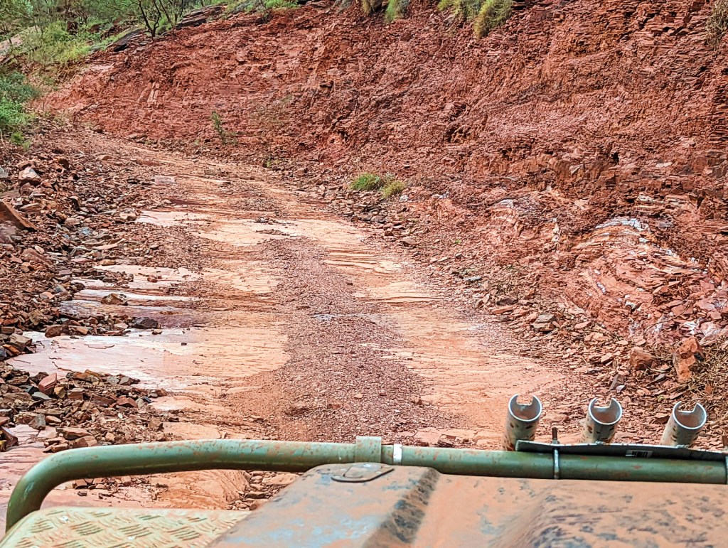
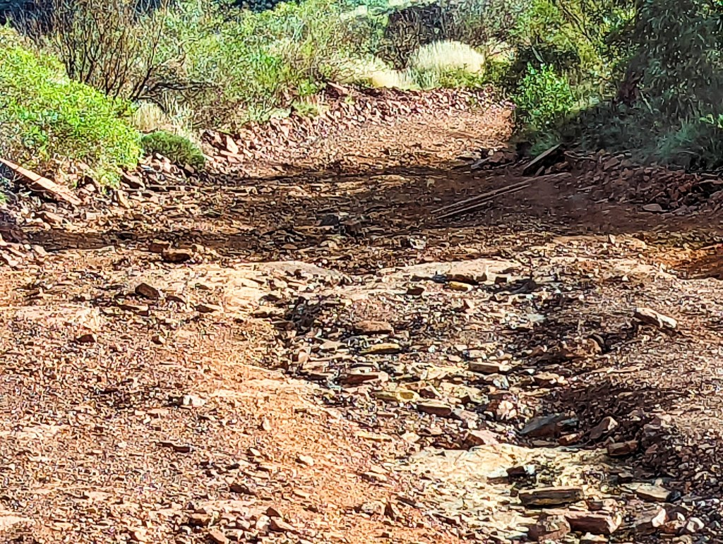
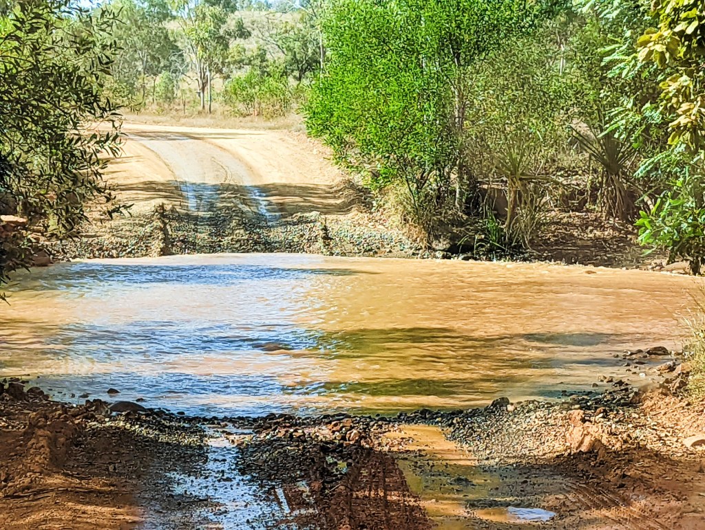
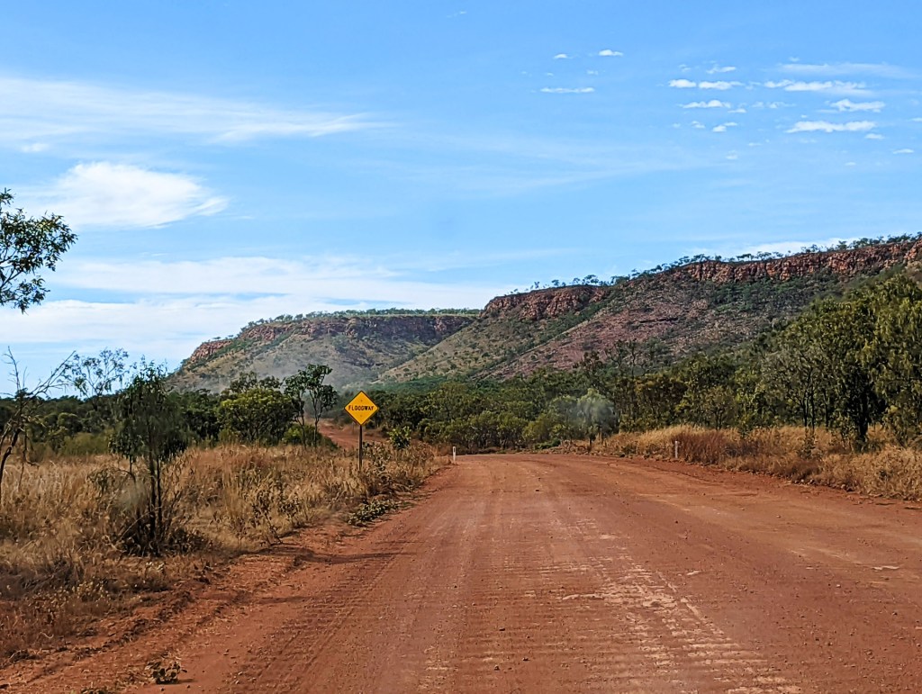
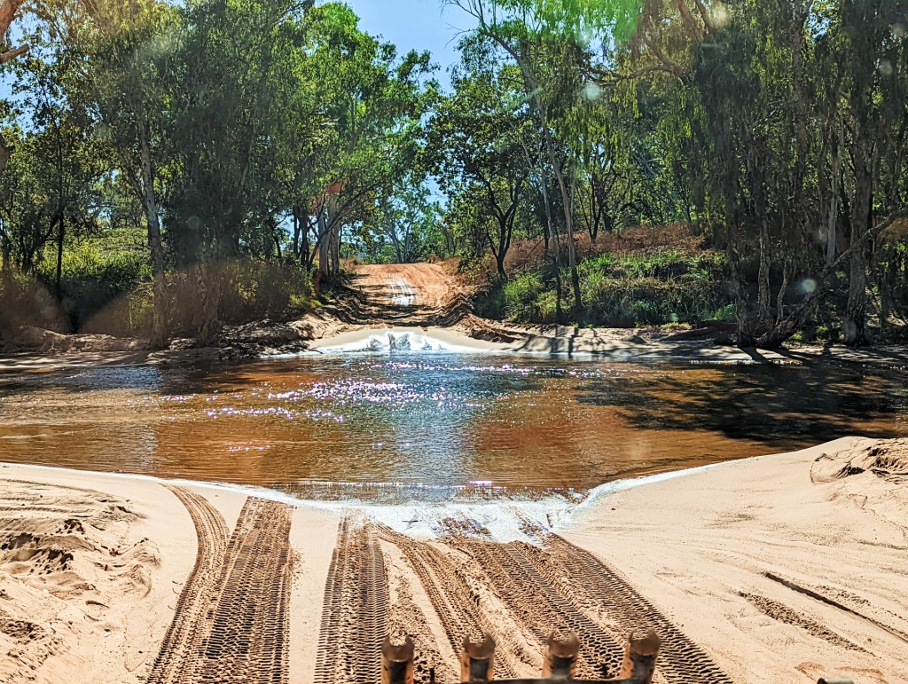
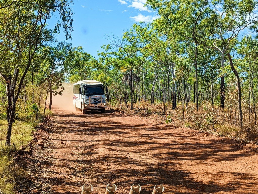
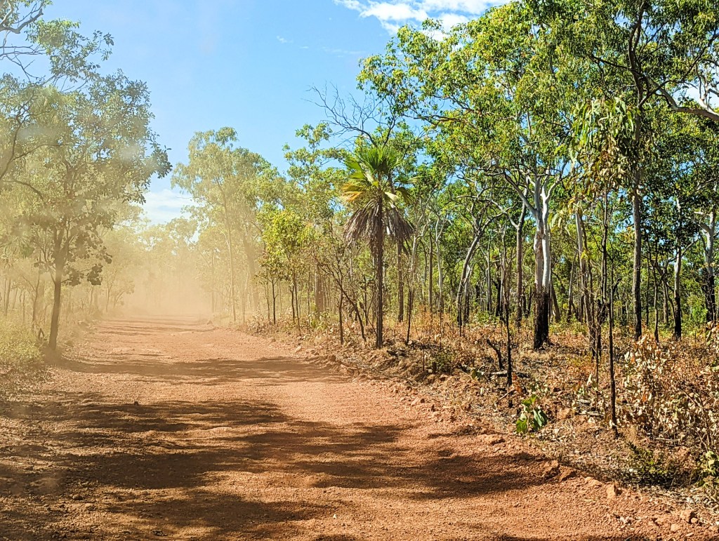
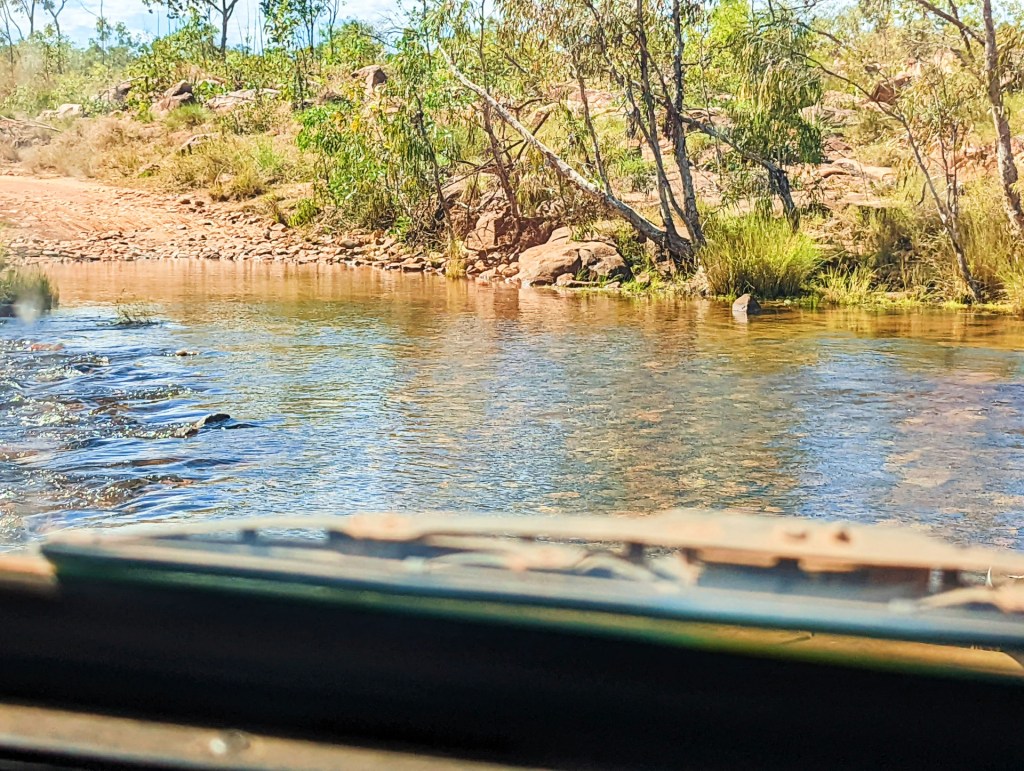
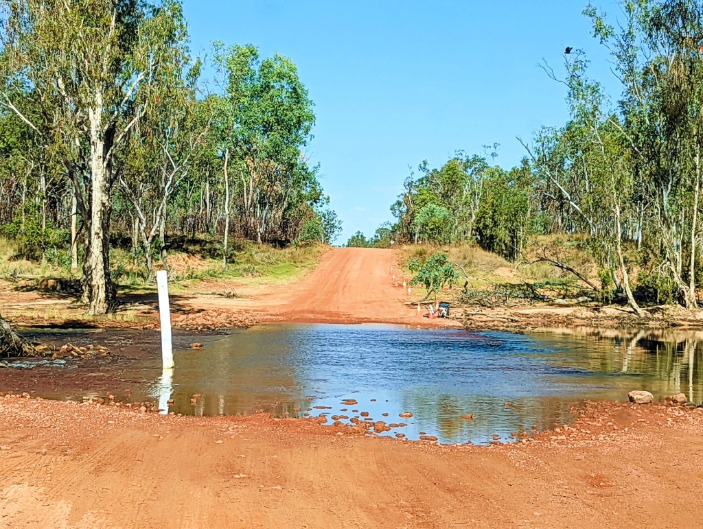
It is a hard road to travel, full of deep corrugations, rocky roads and river crossings – some quite deep.
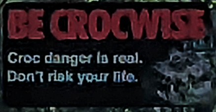
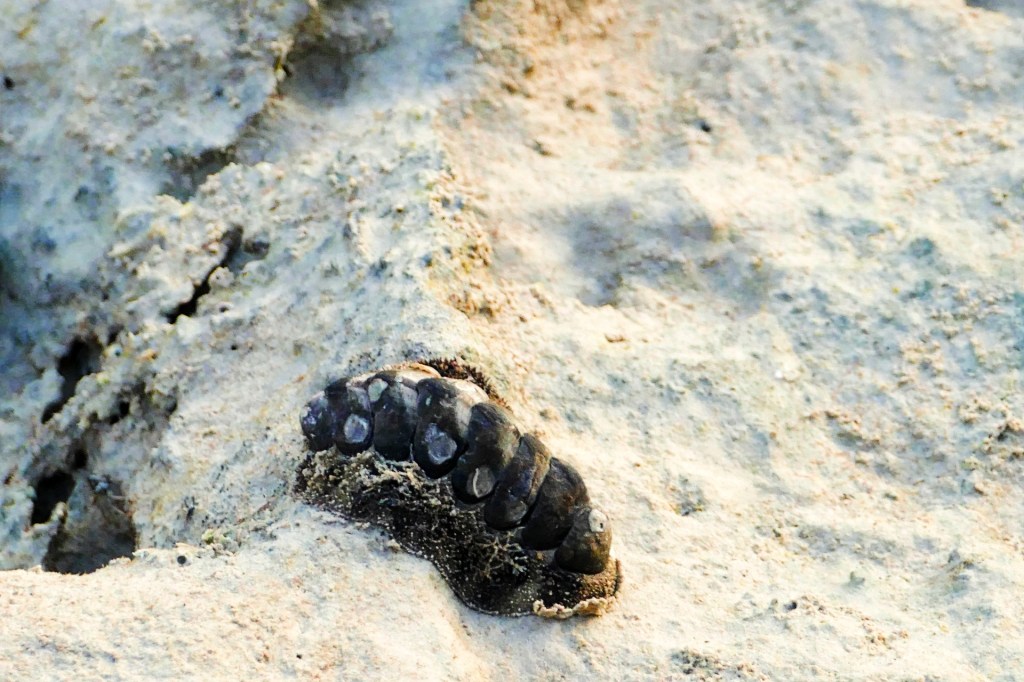
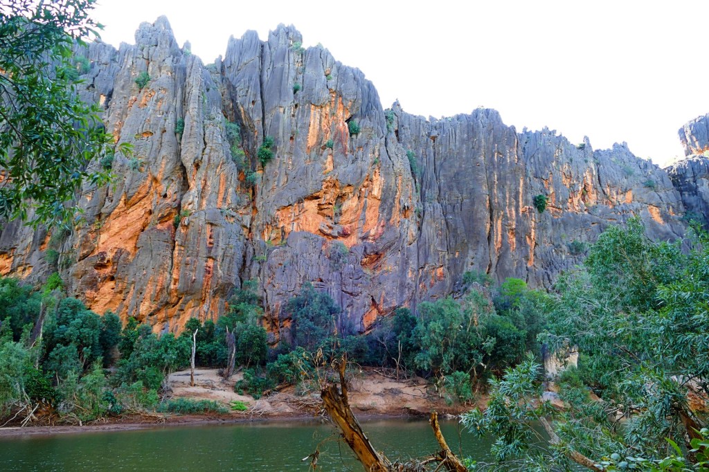
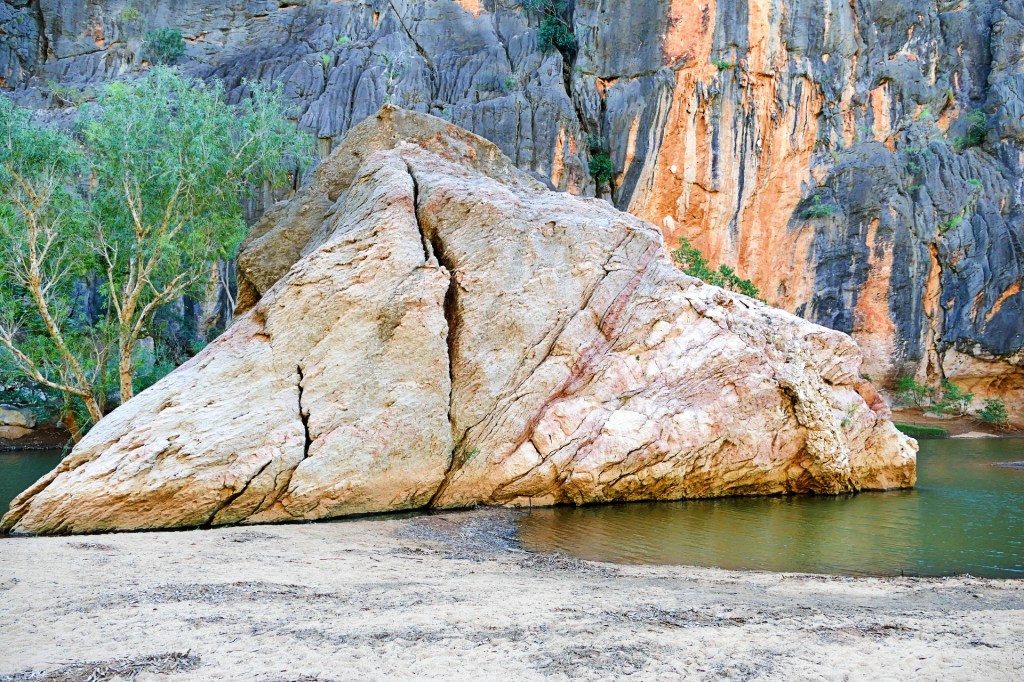
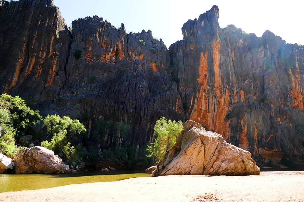
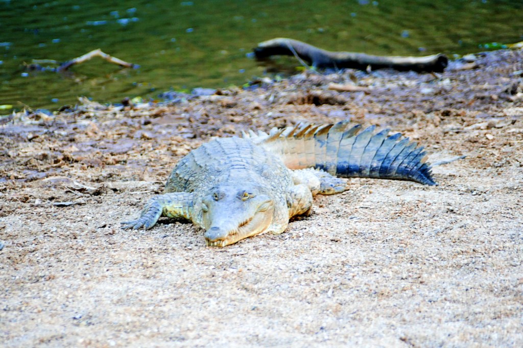
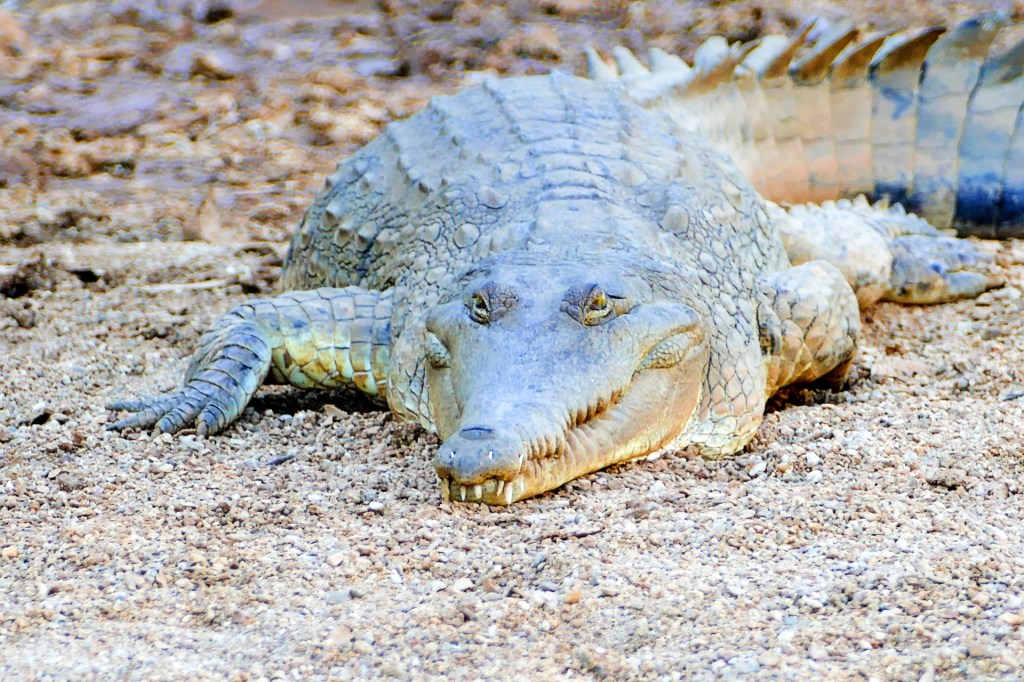
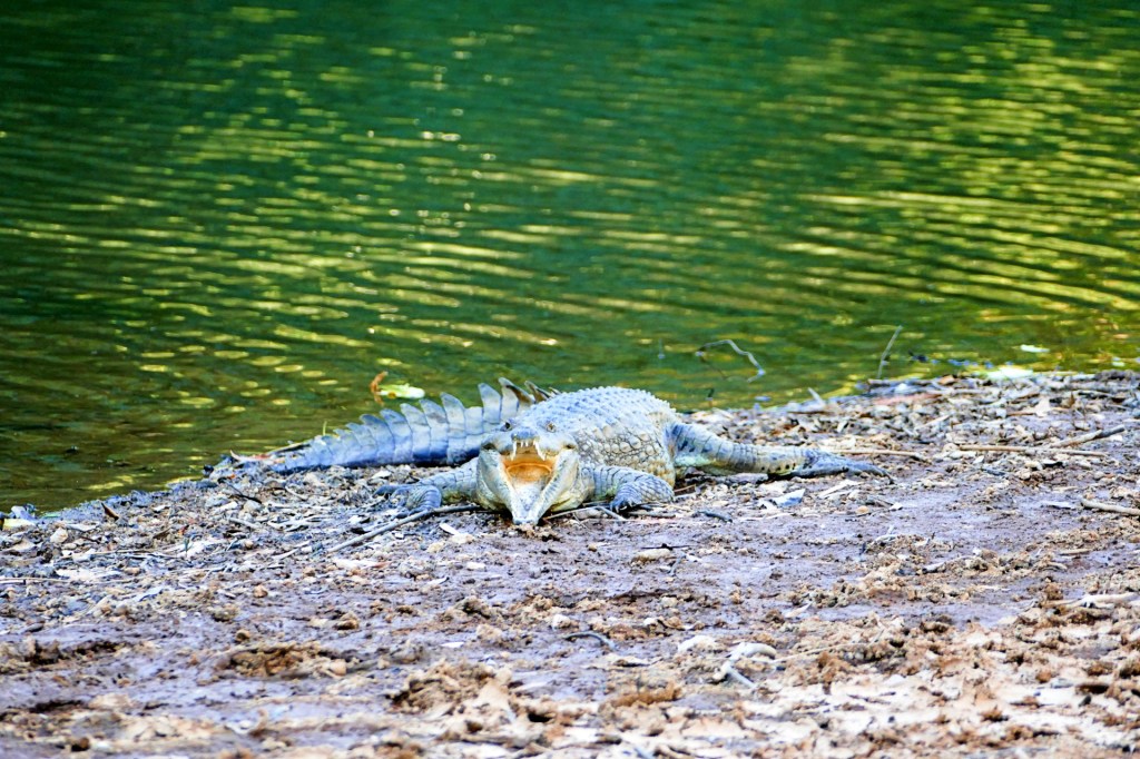
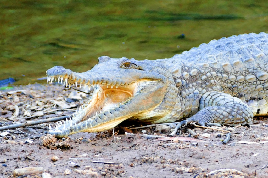
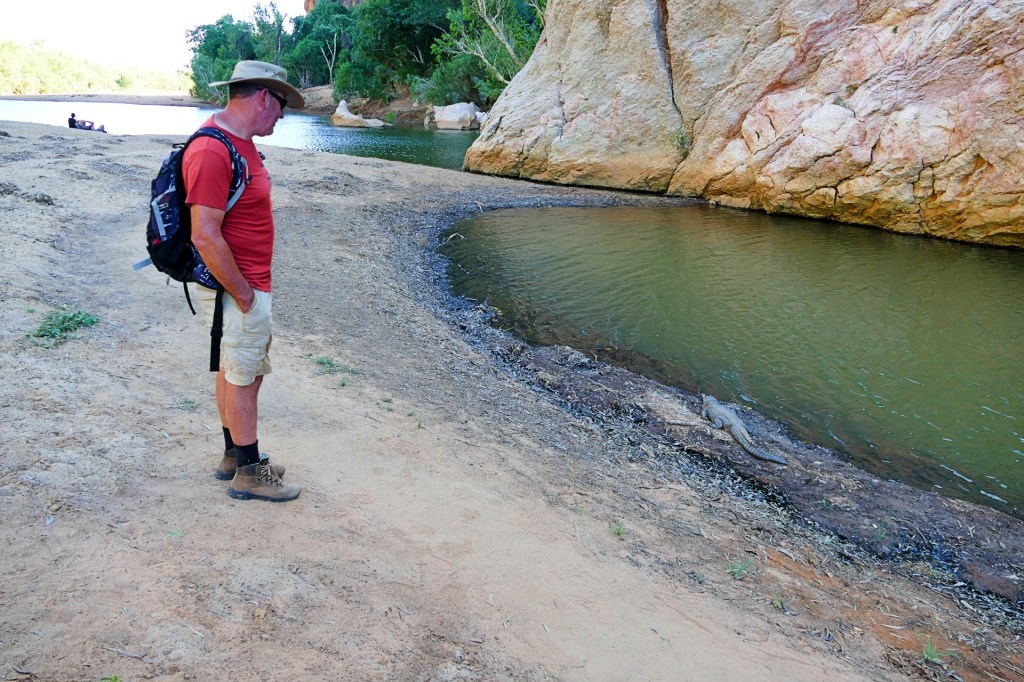
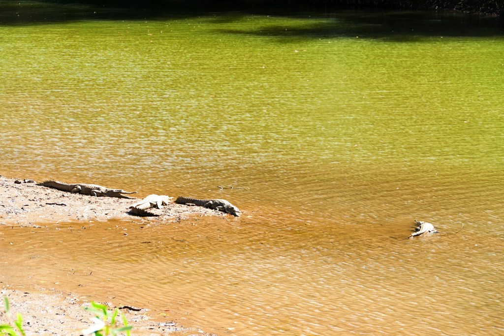
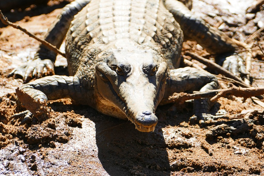
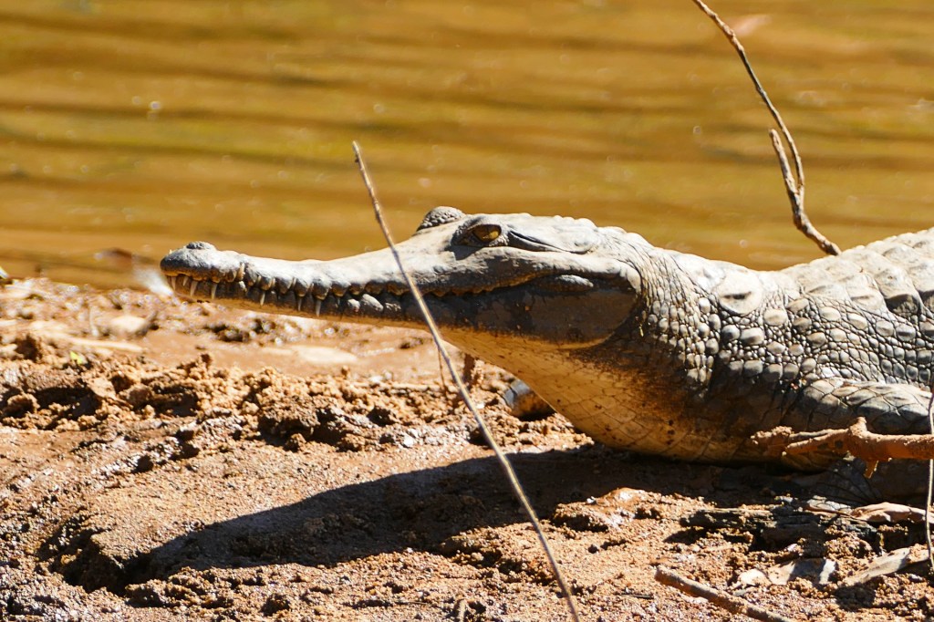
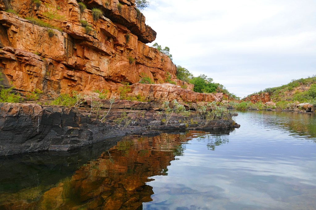
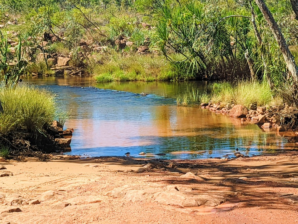
Our first gorge on the Gibb River Road was Windjana Gorge. Here we met our first crocodiles, they were fresh water crocodiles, therefore not dangerous – unlike their cousins the salt water crocodiles which will hunt you down.
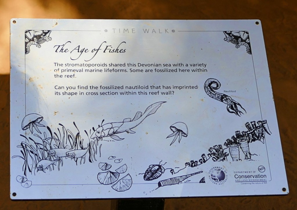
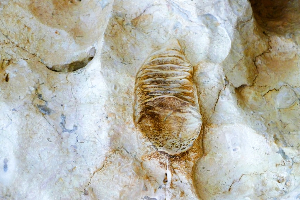
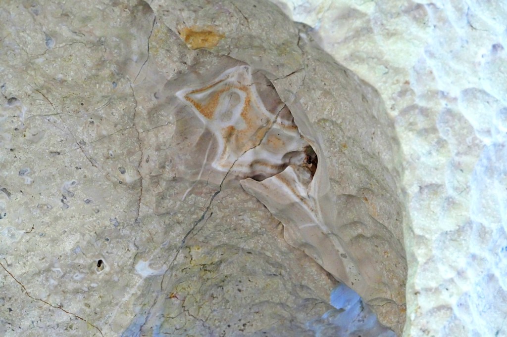
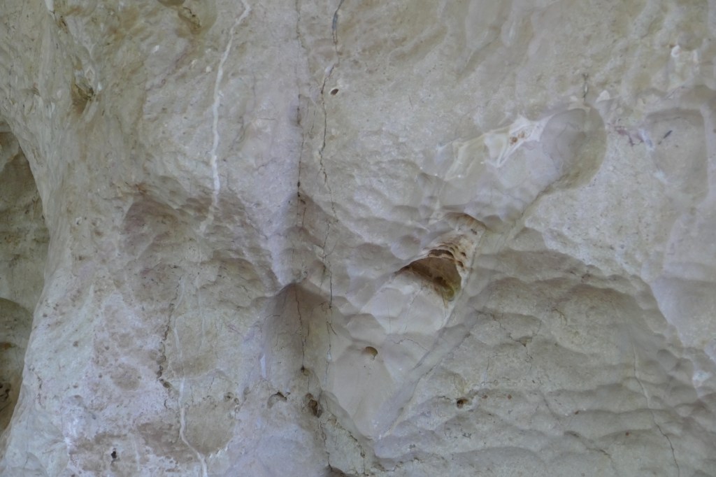
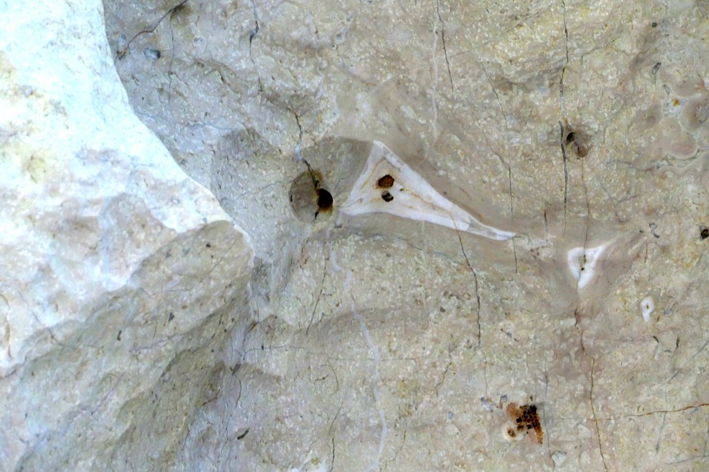
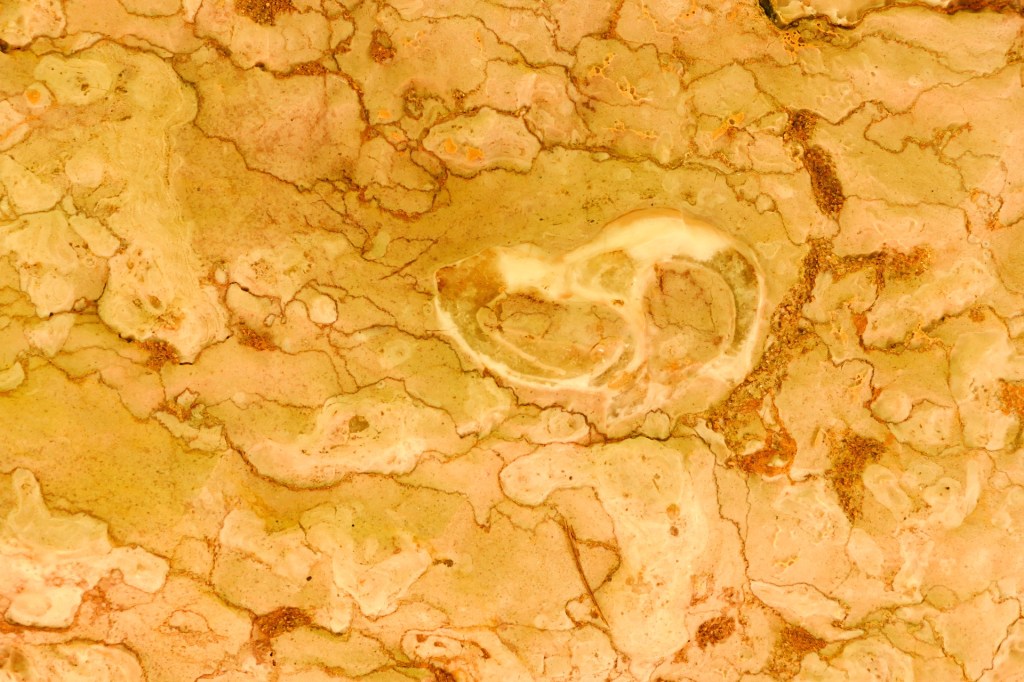
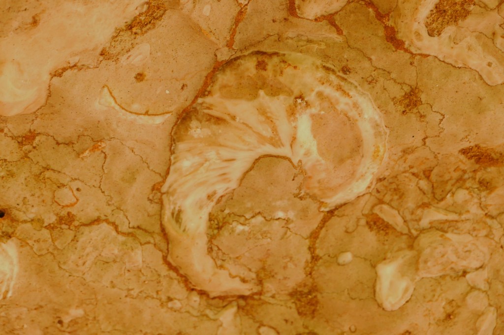
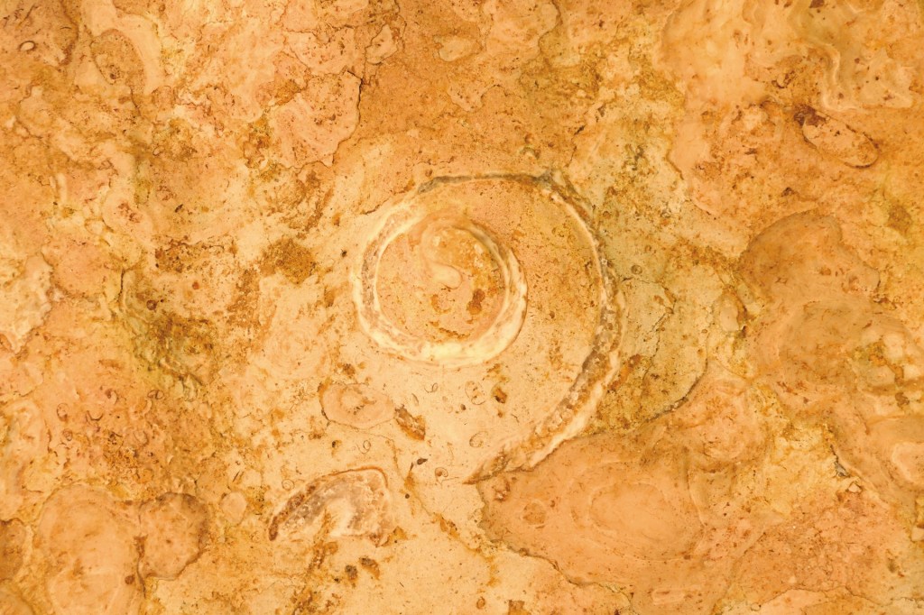
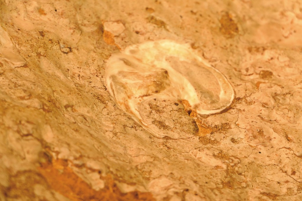
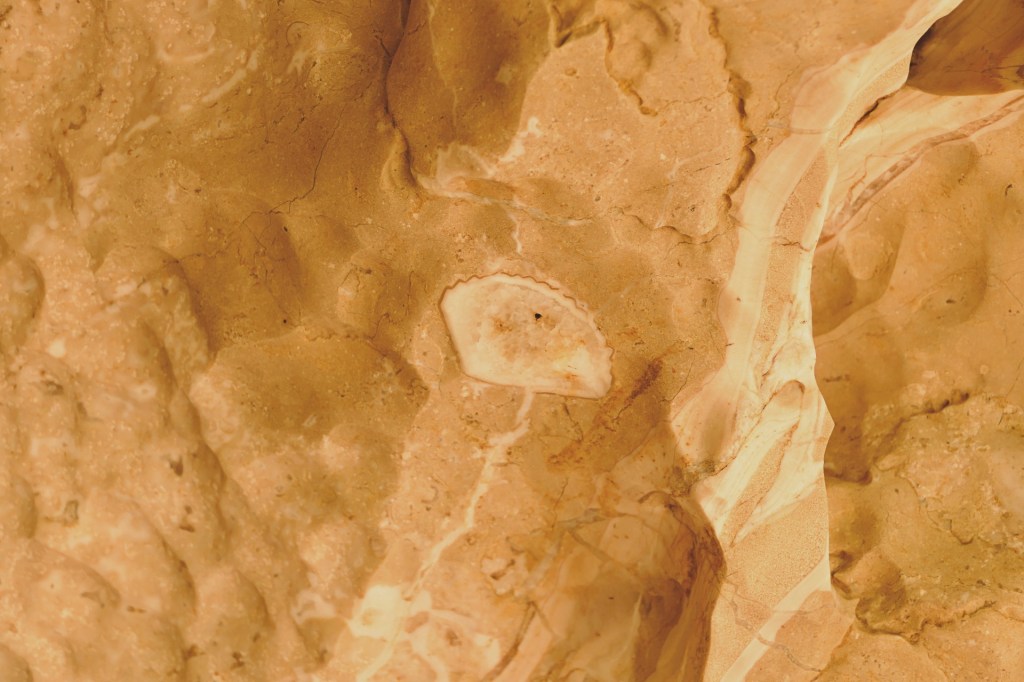
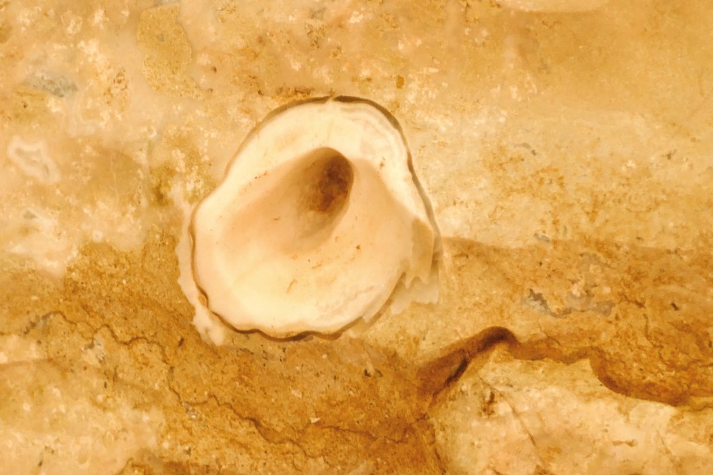
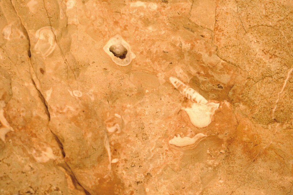
The first walk we did at Windjana Gorge was the Time Walk. Windjana and the surrounding land was once a great barrier reef before it was raised and lifted from the ocean. As a result there are lots of fossils in the limestone depicting sea animals and crustaceans. I loved looking for the different fossils and trying to identify what they might be.
This is also where we saw our first croc’s. They were just lying on the sand along the river. People were just walking along the beach past them, they were unphased by the attention. Some were quite small, but some were very large, fresh water croc’s can grow to be 3 metres long. Even though they are not aggressive, it is smart to keep your distance as they are wild animals and will defend themselves if they feel threatened.
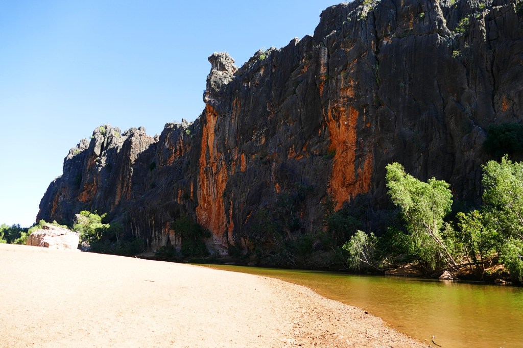
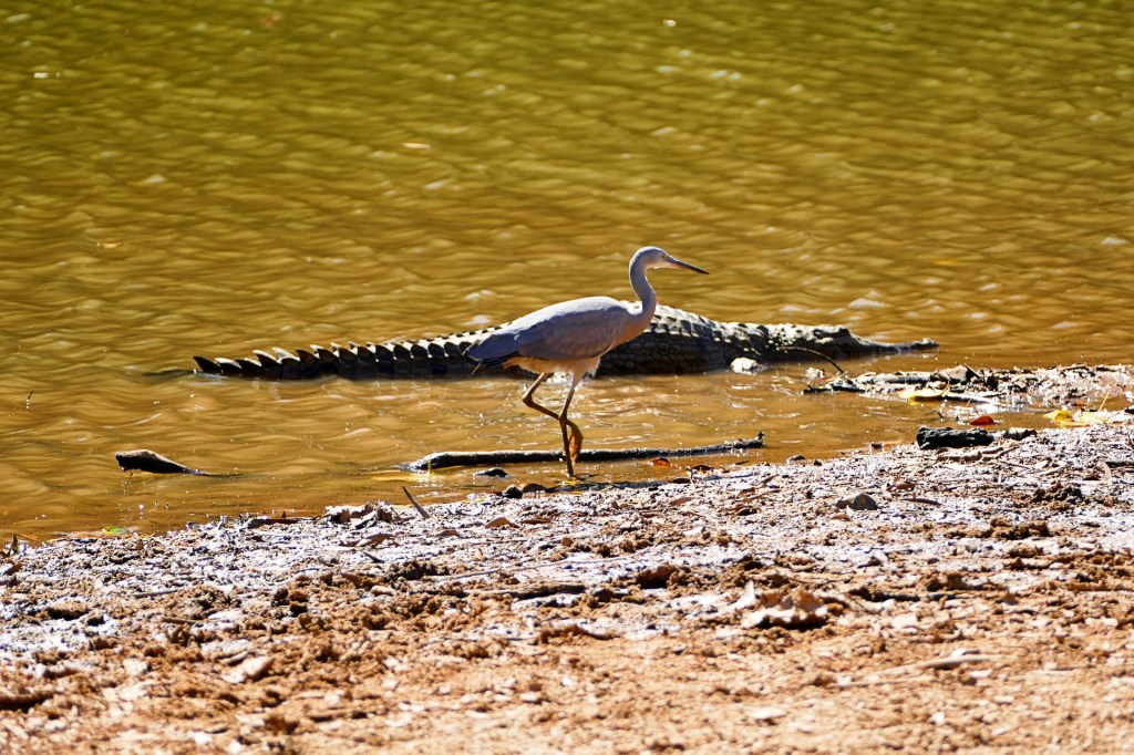
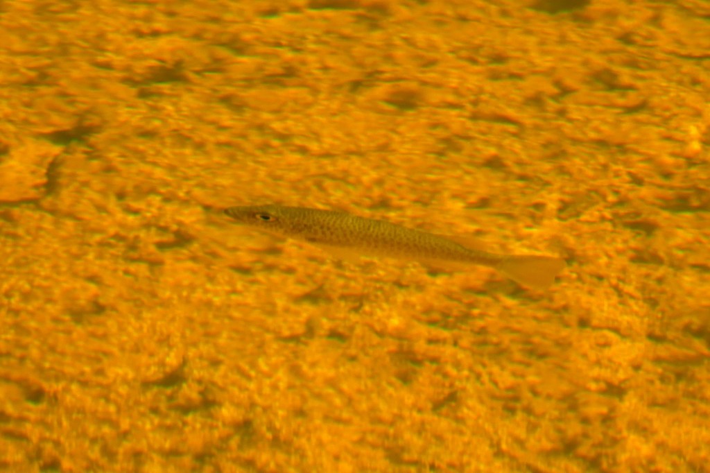
We also did the Windjana Gorge Walk, it was a very easy walk, the gorge walls were beautiful but it was hard to see them due to the bush. We followed the river along the walk and at one stage could see some archer fish, they shoot water at their prey (bugs) to bring them down into the water so they can eat them.
Day 136, Tuesday the 21st June to Day 155, Thursday the 30th June, 2022
We have left Derby to do the Gibb River Road. The Gibb River Road is an iconic Australian road originally constructed in the 1960s to transport cattle from outlying stations to the ports of Derby and Wyndham, it is a 660-kilometre 4WD gravel trail jam packed with beautiful gorges, waterfalls, pools, rivers and beautiful Aboriginal art work.
It is a hard road to travel, full of deep corrugations, rocky roads and river crossings – some quite deep.
Our first gorge on the Gibb River Road was Windjana Gorge. Here we met our first crocodiles, they were fresh water crocodiles, therefore not dangerous – unlike their cousins the salt water crocodiles which will hunt you down.
The first walk we did at Windjana Gorge was the Time Walk. Windjana and the surrounding land was once a great barrier reef before it was raised and lifted from the ocean. As a result there are lots of fossils in the limestone depicting sea animals and crustaceans. I loved looking for the different fossils and trying to identify what they might be.
This is also where we saw our first croc’s. They were just lying on the sand along the river. People were just walking along the beach past them, they were unphased by the attention. Some were quite small, but some were very large, fresh water croc’s can grow to be 3 metres long. Even though they are not aggressive, it is smart to keep your distance as they are wild animals and will defend themselves if they feel threatened.
We also did the Windjana Gorge Walk, it was a very easy walk, the gorge walls were beautiful but it was hard to see them due to the bush. We followed the river along the walk and at one stage could see some archer fish, they shoot water at their prey (bugs) to bring them down into the water so they can eat them.
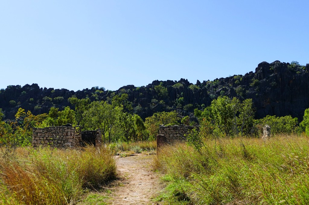
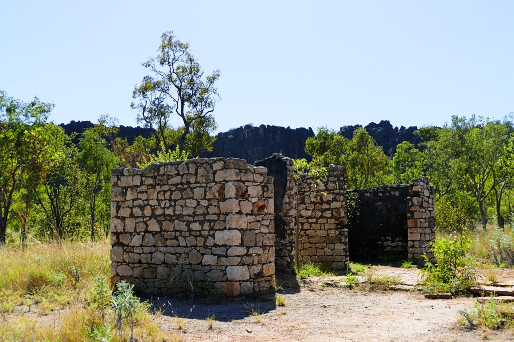
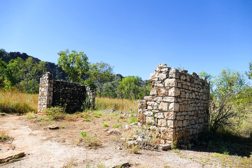
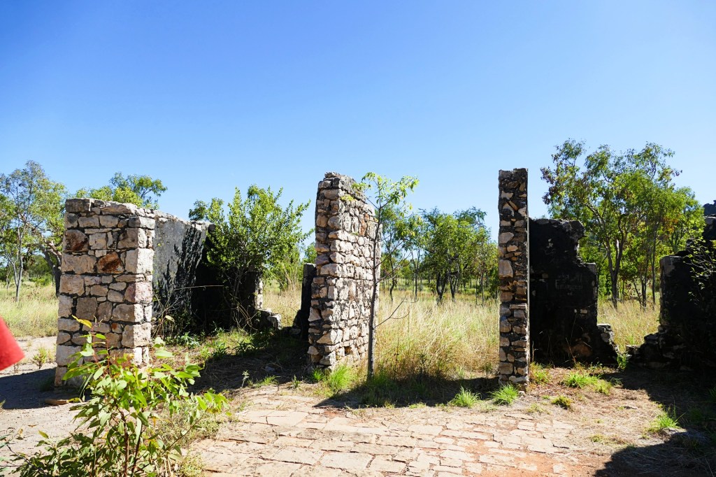
We visited the ruins of the Lillimilura Police Station.
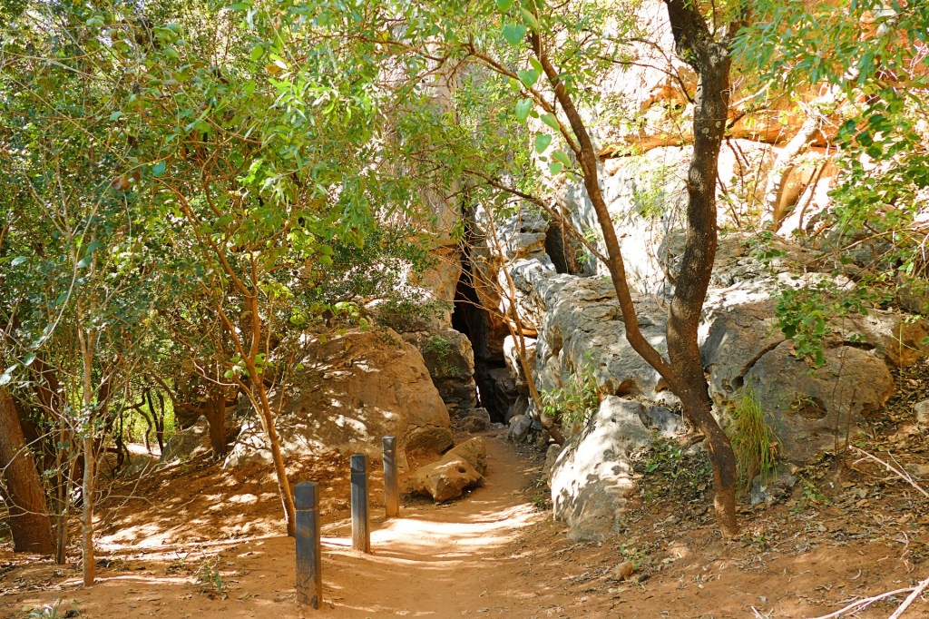
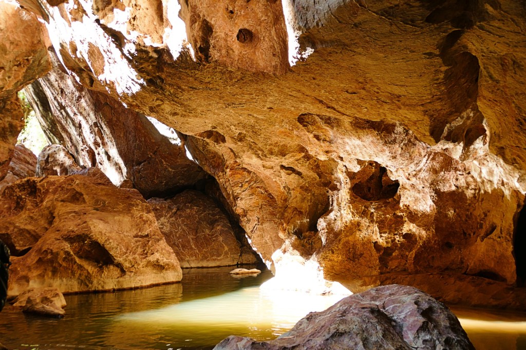
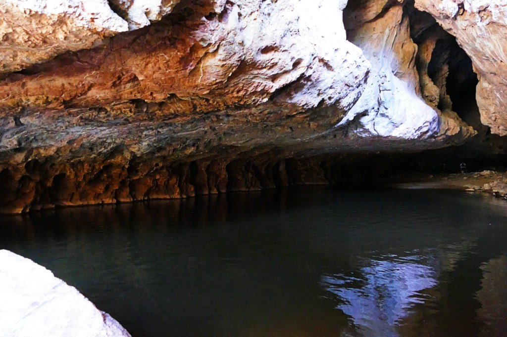
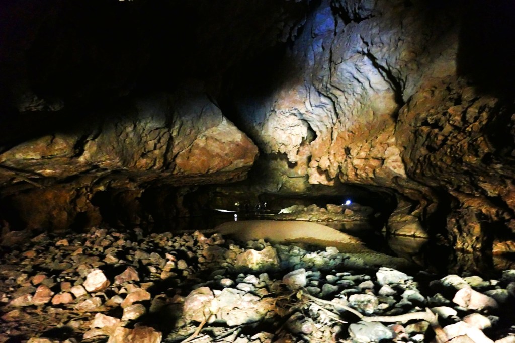
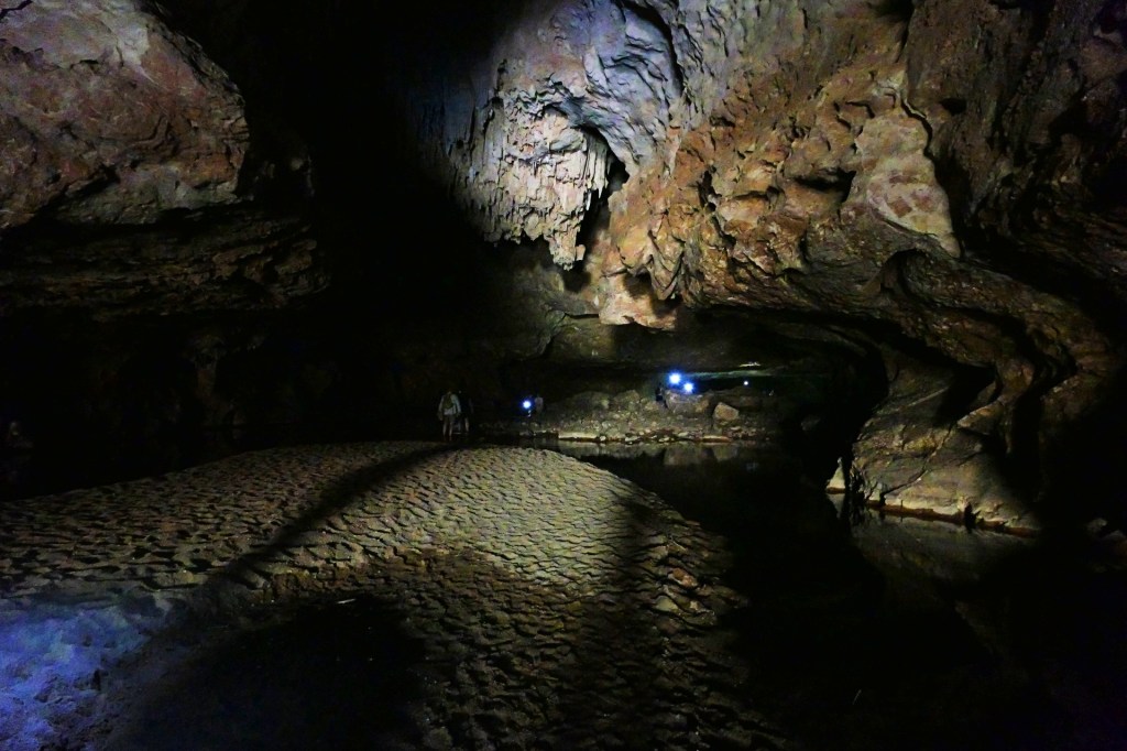
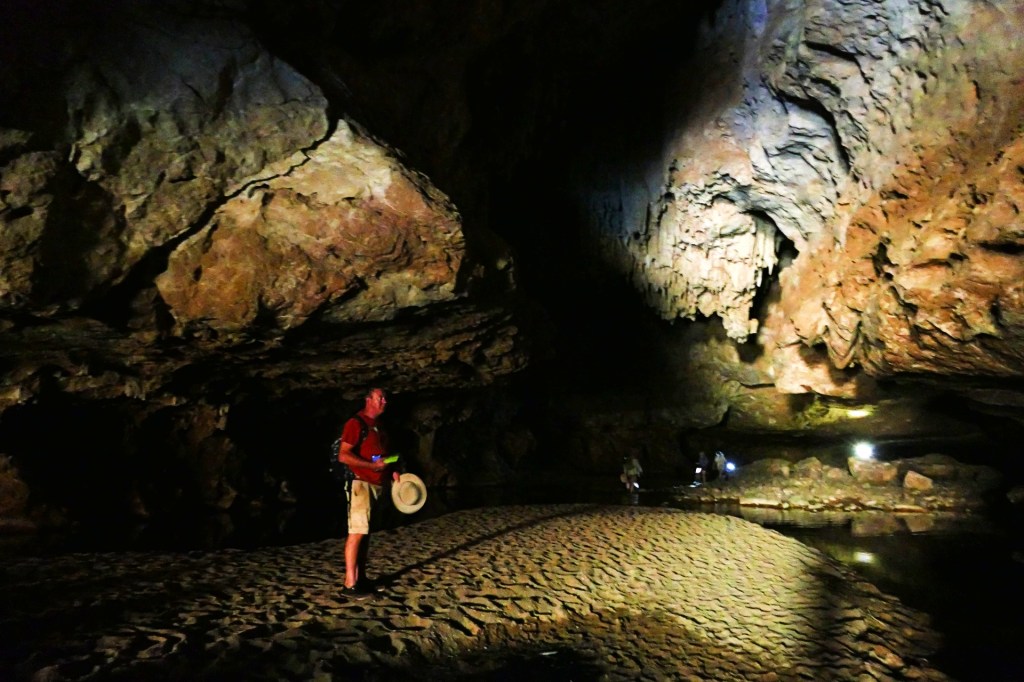
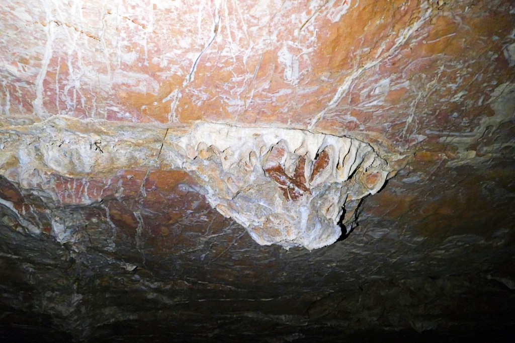
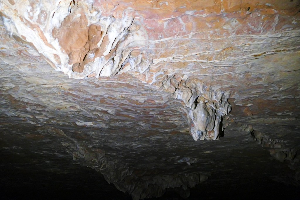
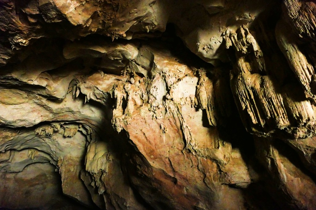
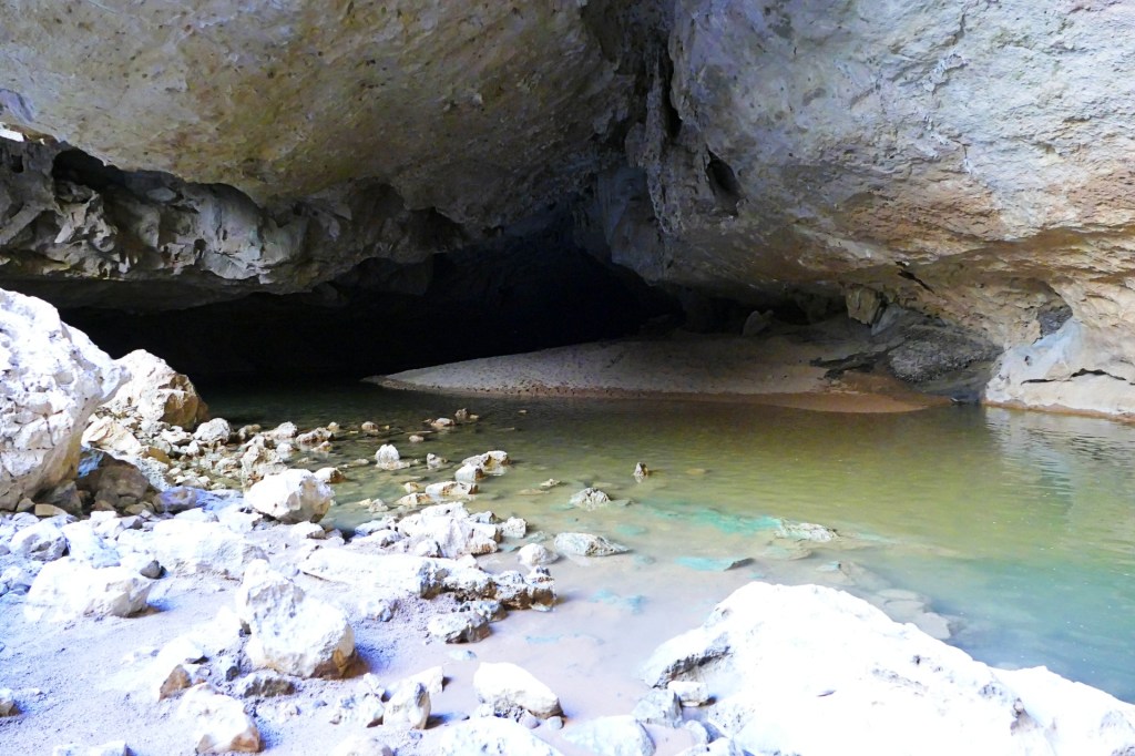
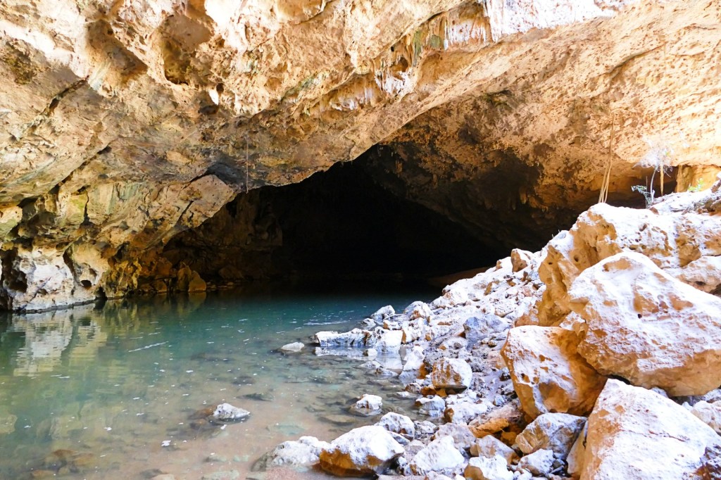
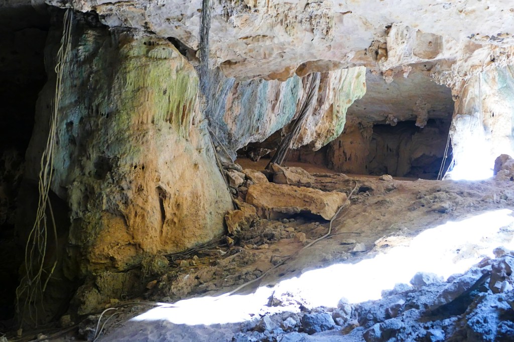
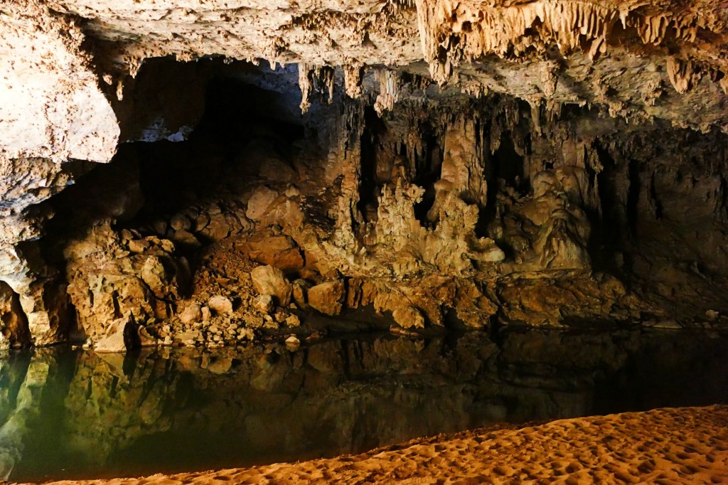
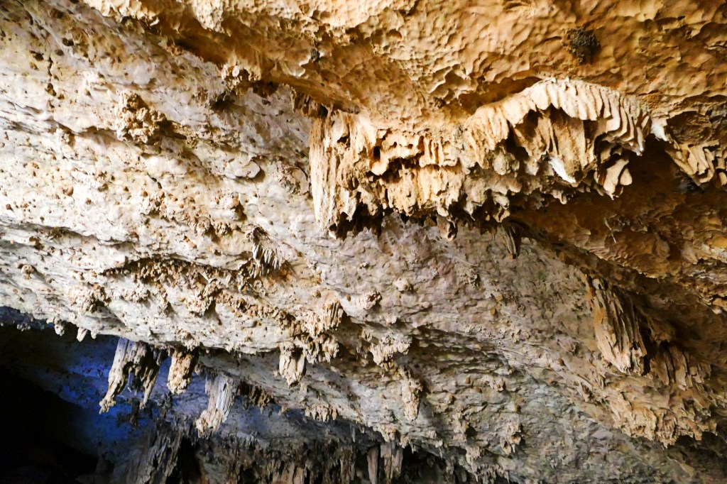
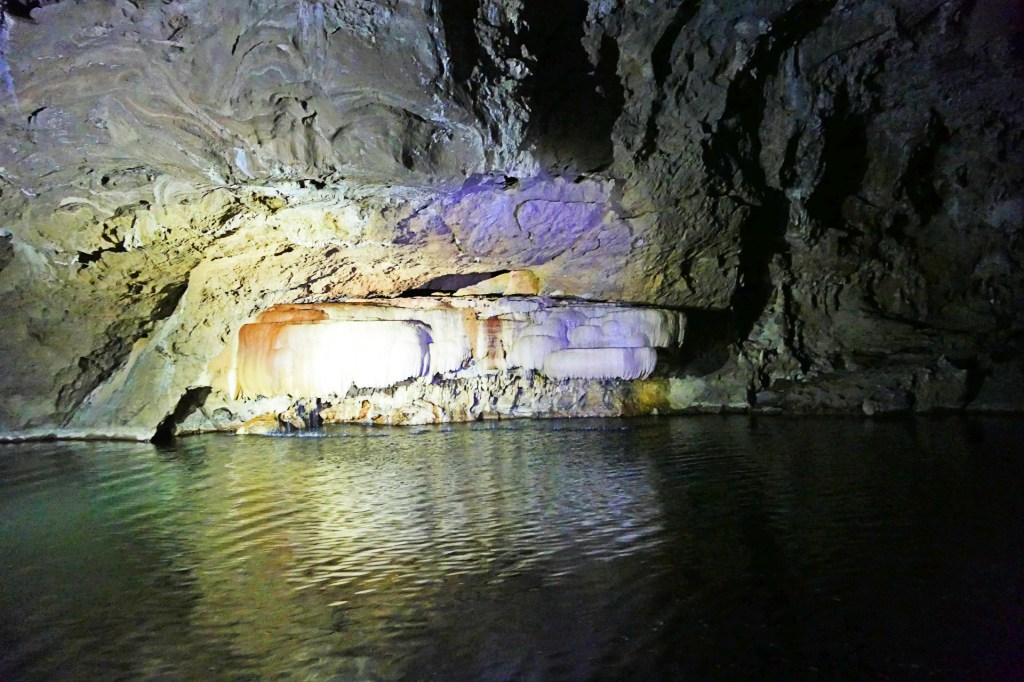
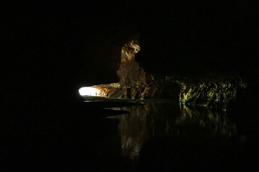
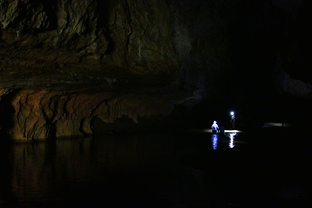
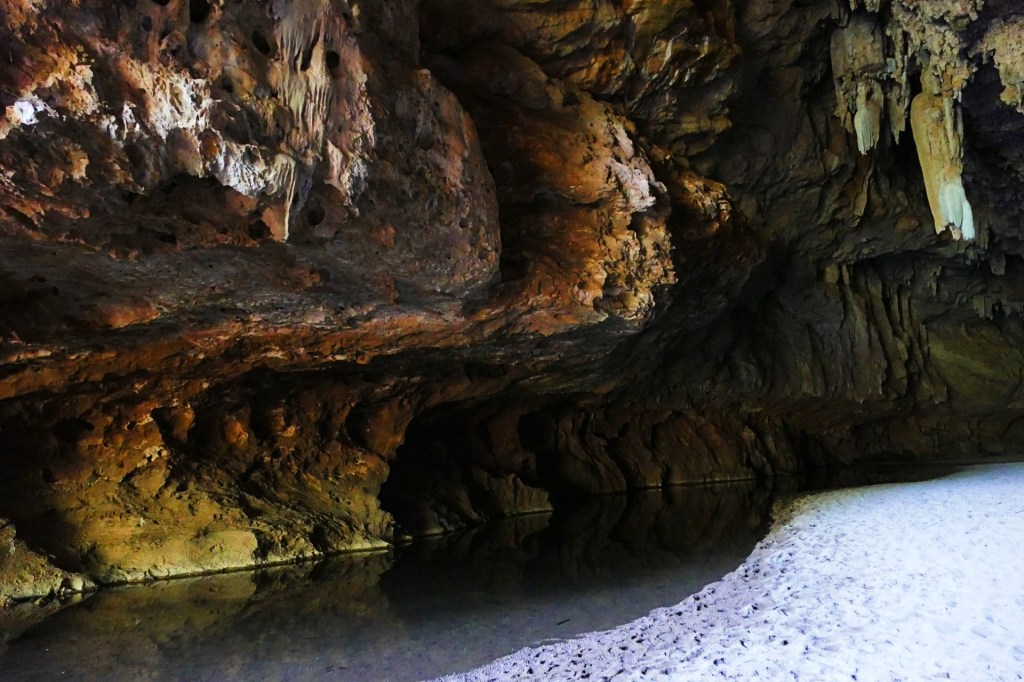
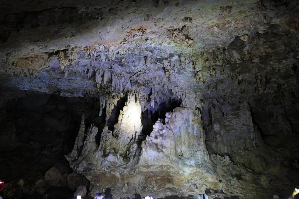
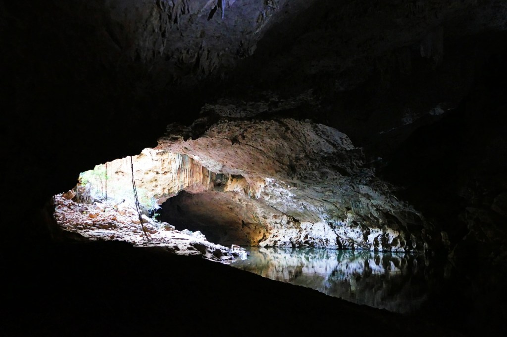
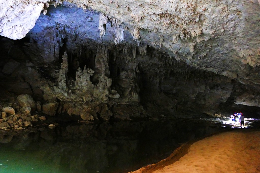
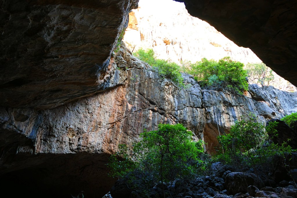
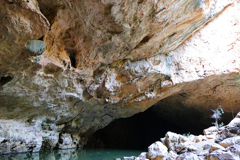
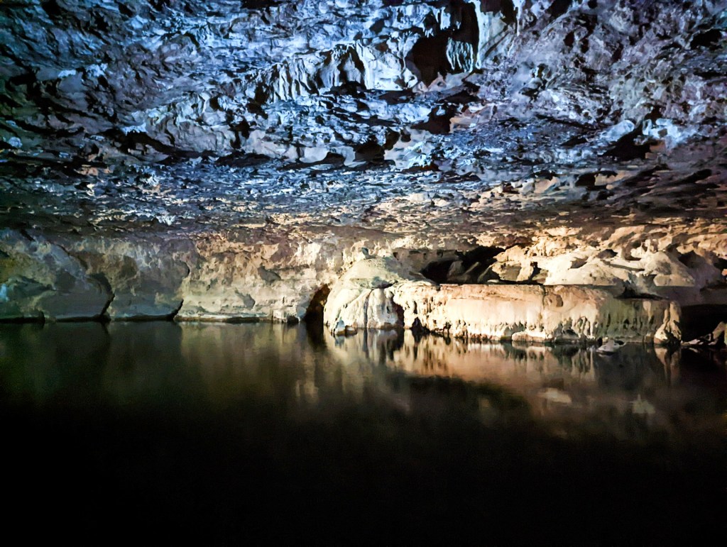
We travelled to Tunnel Creek to do the Tunnel Creek walk. I loved this walk, it is a creek that runs through a very long cave, and you walk along and through the creek during the walk.


We stayed at the Windjana Camp ground, it was very busy as it was a popular place to stay on the Gibb River Road.


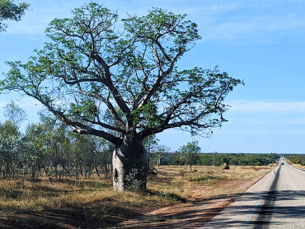
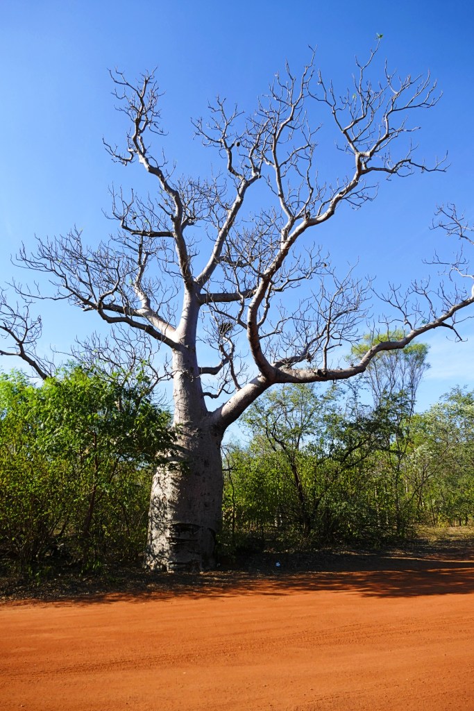
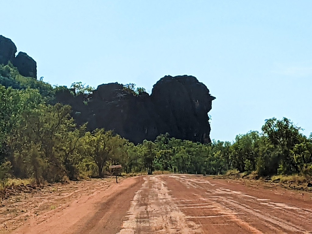
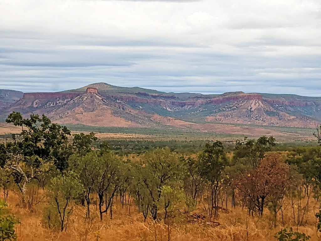
On Thursday the 23rd June, we headed to Bell Gorge, along the way we saw some iconic rocks and mountains, like Queen Victoria’s Head, grumpy old men and a Kookaburra. The roads were quite busy, so there was a lot of dust. We had numerous river crossings, we saw a lot of beautiful Boab trees and interesting scenery.


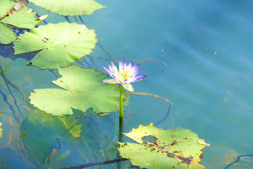
Along the way we stopped for lunch at Dog Chain Creek, it was so pretty with all the water lilies.
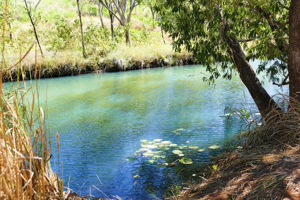
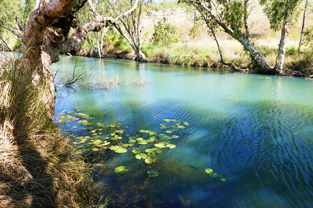
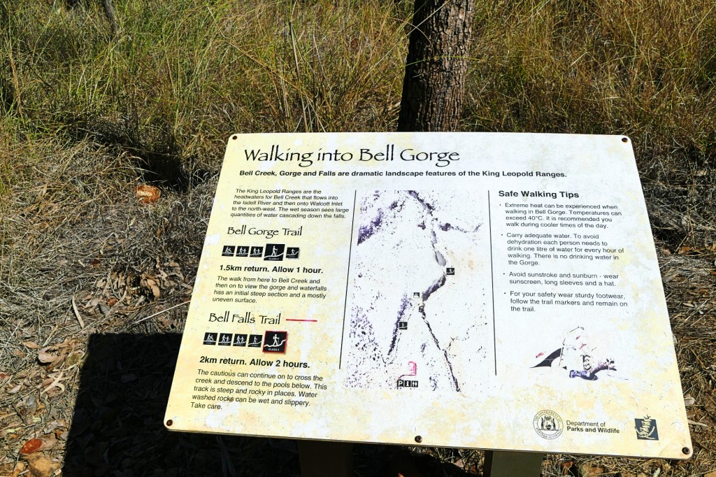
We arrived at Bell Gorge in the early afternoon, so we were able to do the walk that afternoon.
The walk to the upper falls, or the Bell Gorge Trail was only 1.5 km long, about one hour return and a category 4 walk.
When we got to the top of the falls, we were amazed by the beauty of the falls. People were swimming at the top of the falls.
We decided to do the Bell Falls Trail, which was a category 5 trail, another 2 km, 2 hours return.
When we got to the lower falls area, we both went for a swim. The water was icy cold, but after the challenging walk in 30 degree heat, we really appreciated the coolness of the water.

That night we stayed at the Silent Grove Camp Ground, nice little camp ground, busy as they all are.
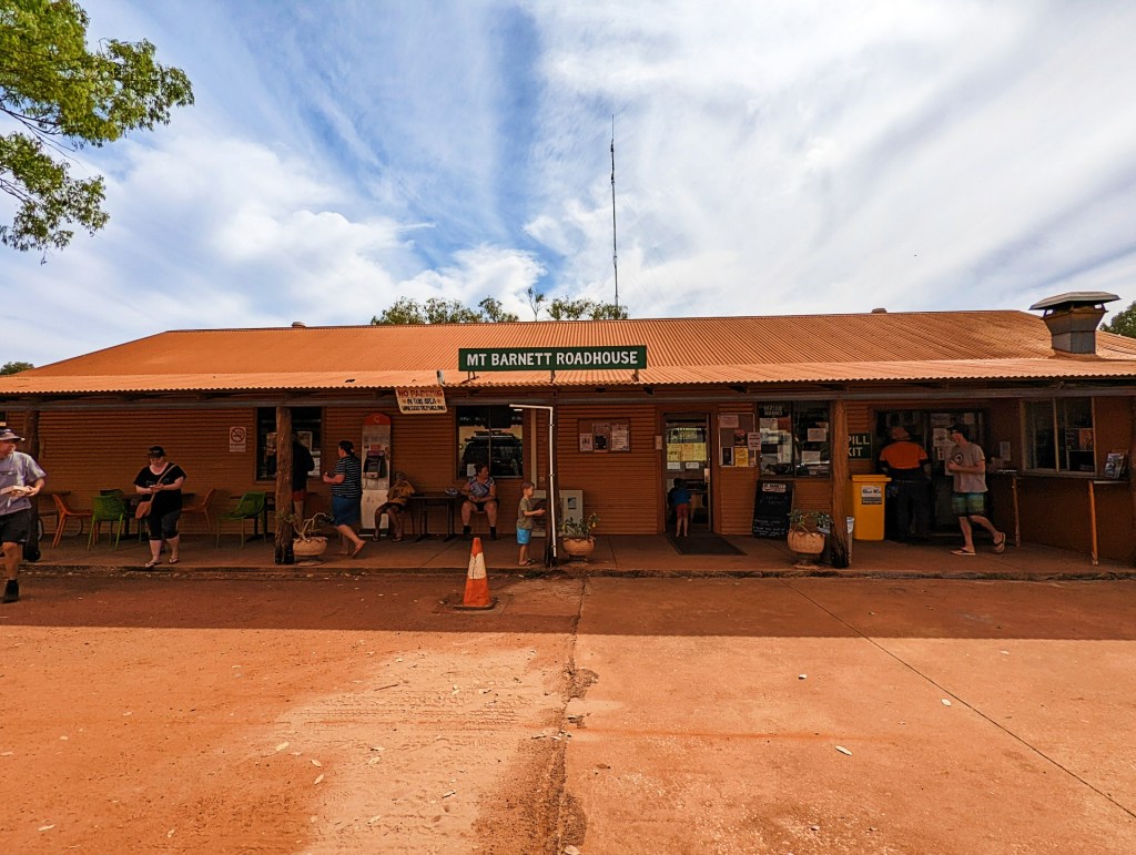
On Friday the 24th June, we left for Manning Gorge, we stopped by Mt Barnett Roadhouse for a Hamburger at lunch time. It was a great hamburger. Mt Barnett sells great hamburgers and other food, and it also has basic staples for sale.
We walked the Manning Gorge trail, it was an extremely challenging walk, It was 4 km return, took about 2 hours each way, the day was very hot, you had to swim across the river to start the walk and there were lots of rocks to climb up, around and down. the falls at the end of the rail were really pretty and worth the challenging walk.
We had originally decided not to go up to Mitchell Falls, but along the way we changed our minds, and a good thing we did, as it was one of the best trips we did along the Gibb River Road. Having said this, the road from Gibb River Road to Mitchell Falls was the most challenging road of the trip. It was all very deep corrugations, with lots of rocky bits and of course, the many river crossings.
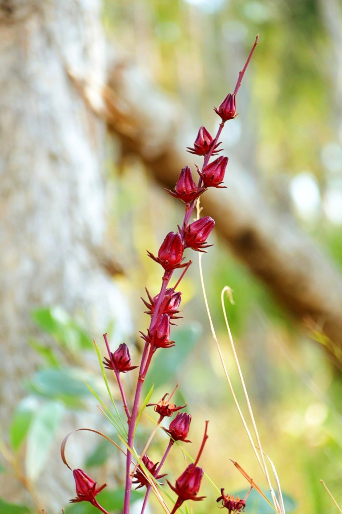
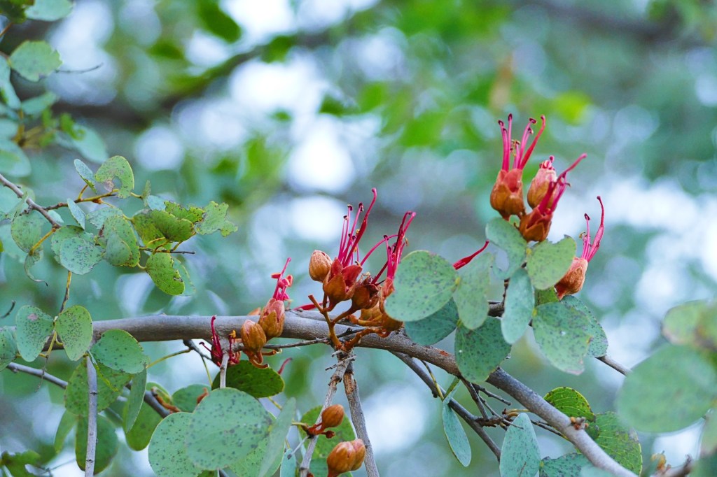
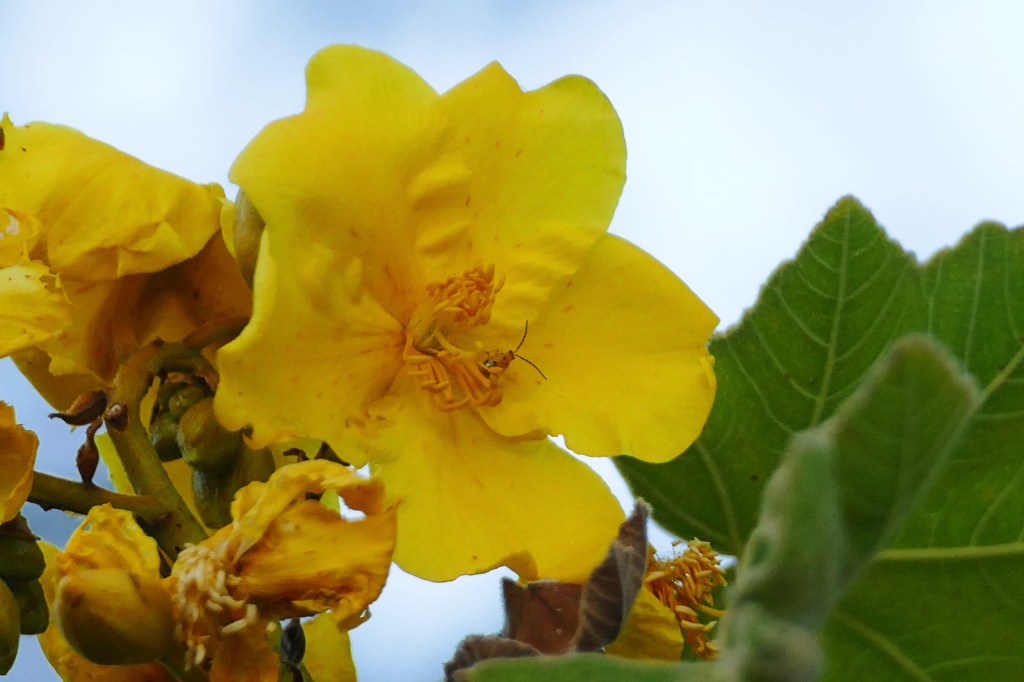
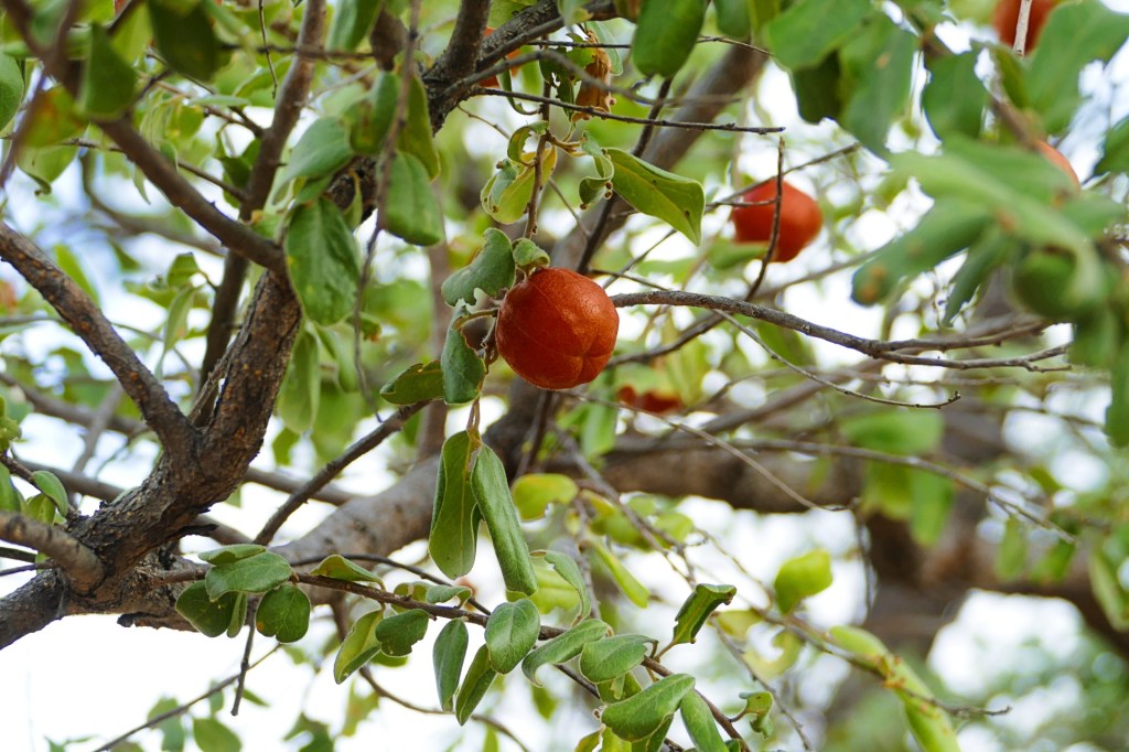
The young fresh leaves are great in a mixed salad, as are the chopped fruit (calyx). The older leaves make a superb curry. The calyx has a myriad of uses; sun dried as a tea, made into a magnificent jam better than strawberry, stewed and served with the morning muesli or used in tarts and puddings, and prepared as a syrup for flavouring drinks. And they look great on the plant too.
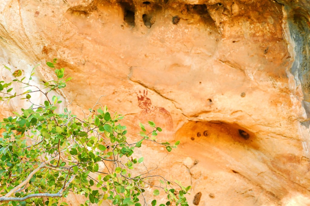
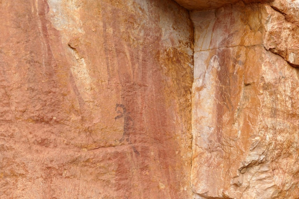
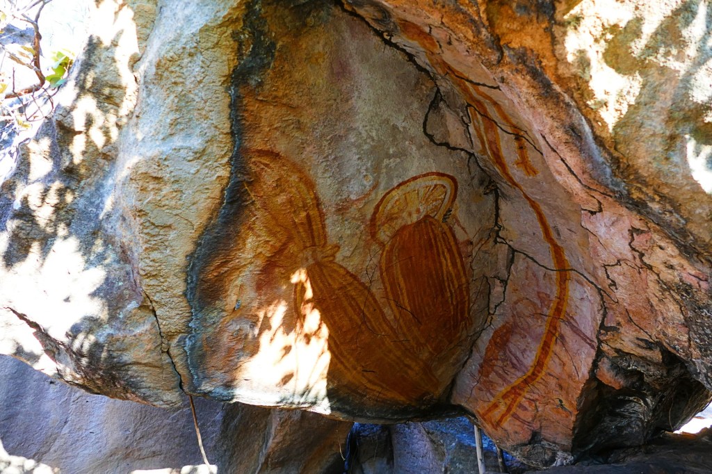
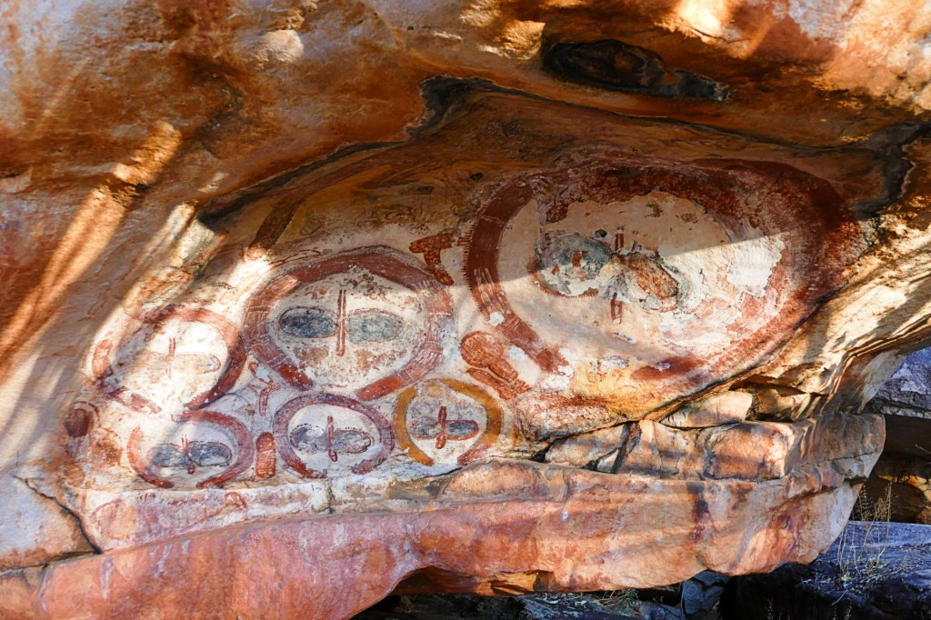
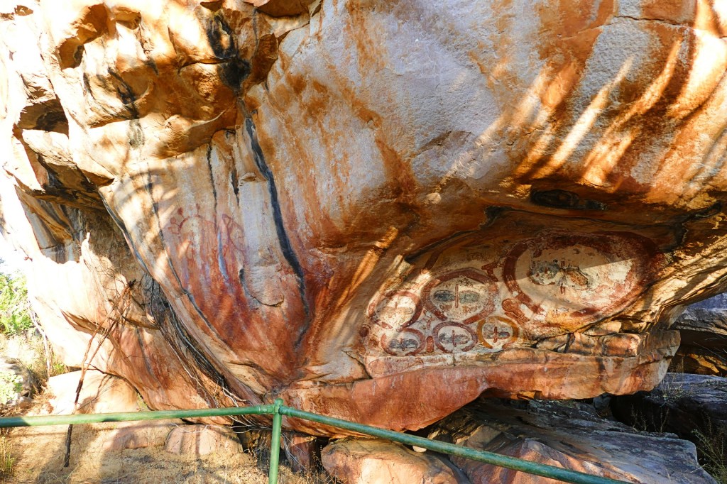
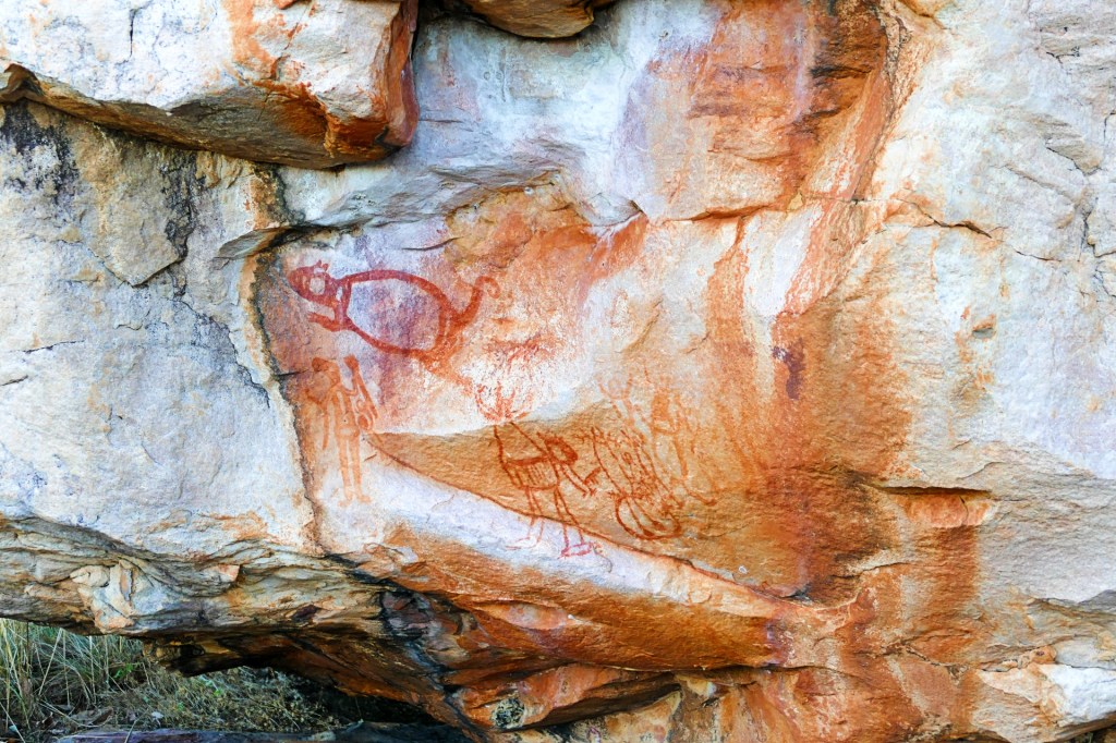
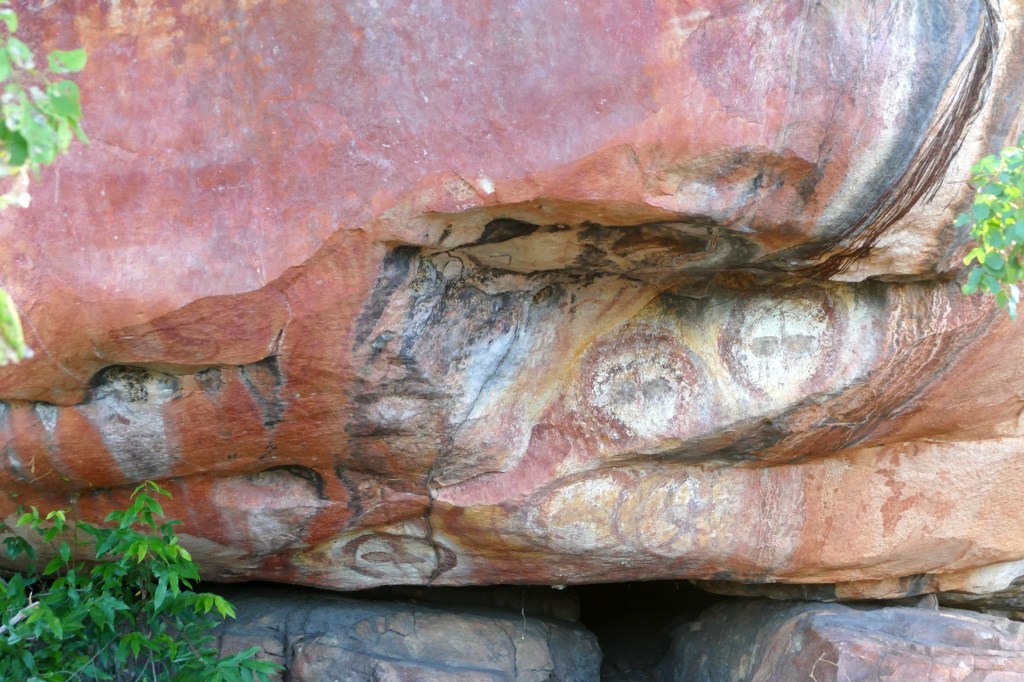
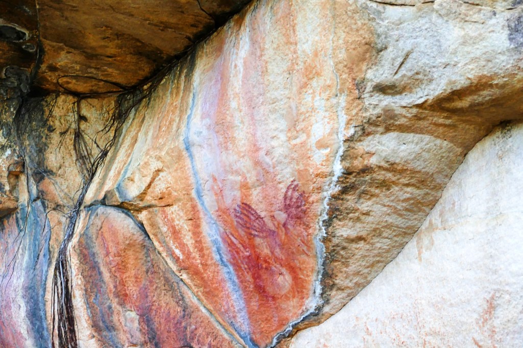
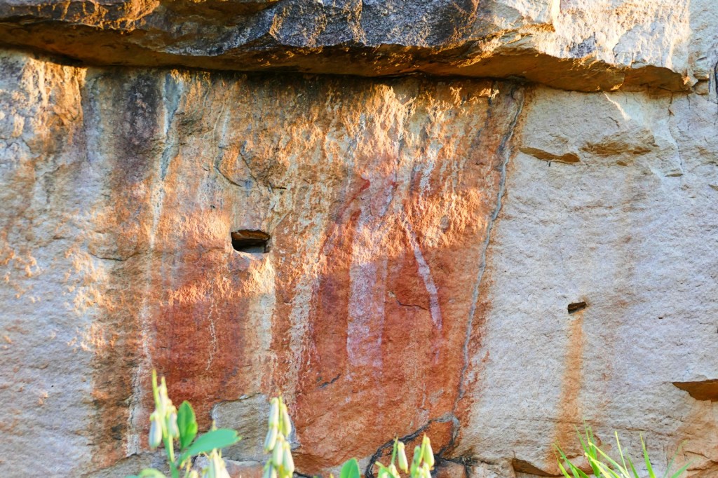
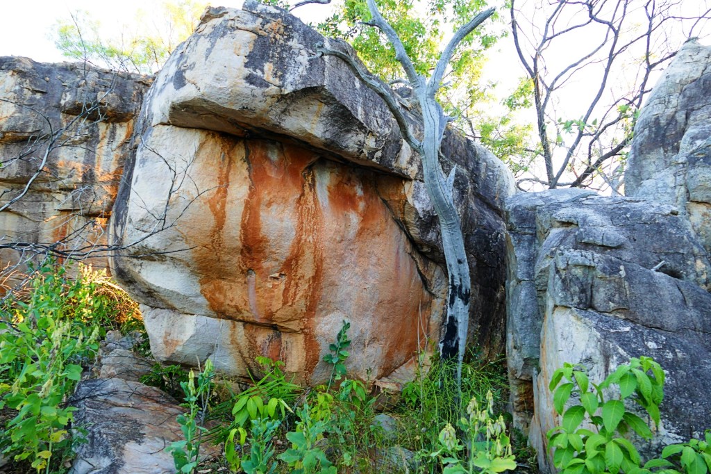
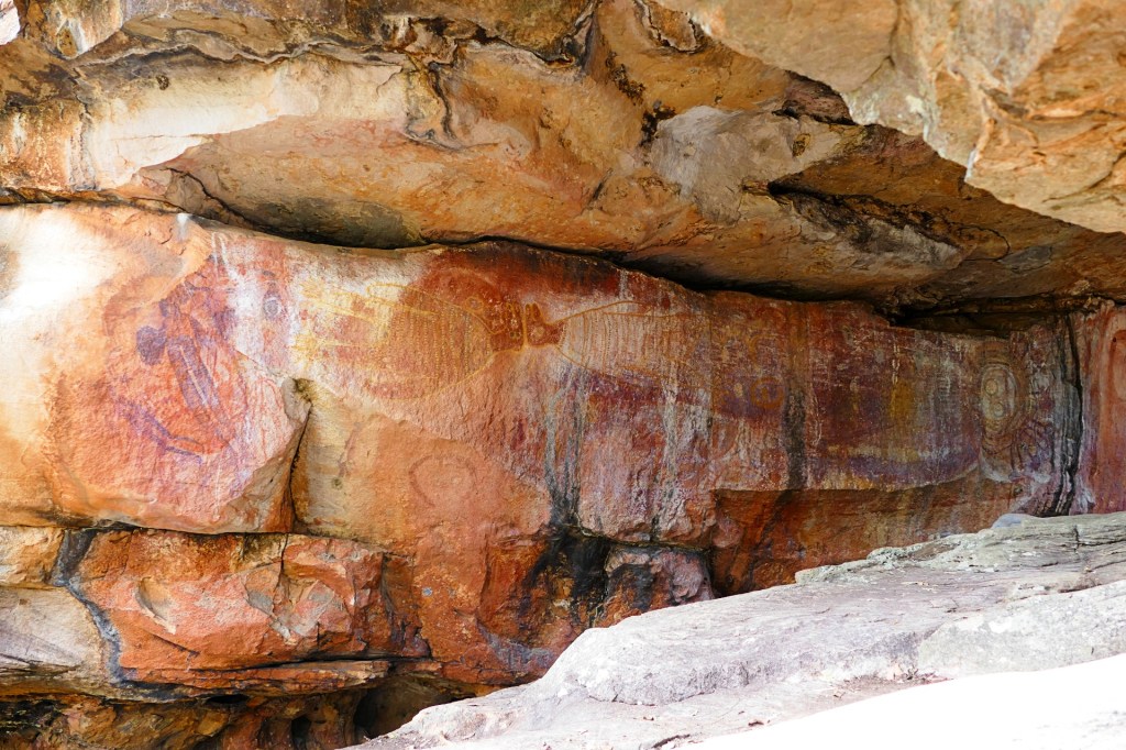
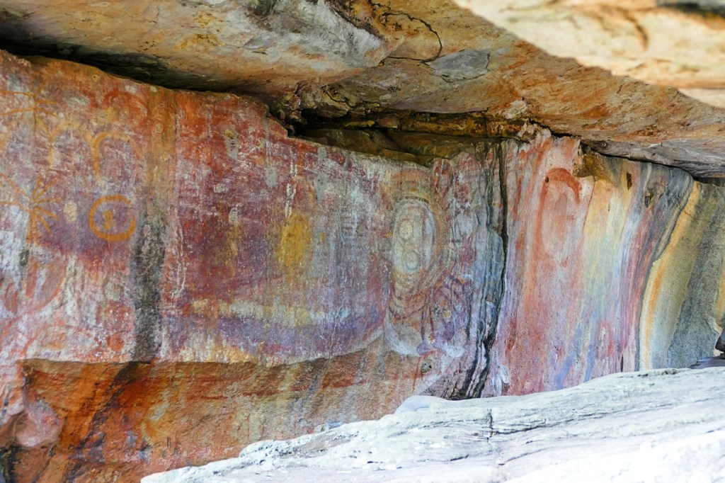
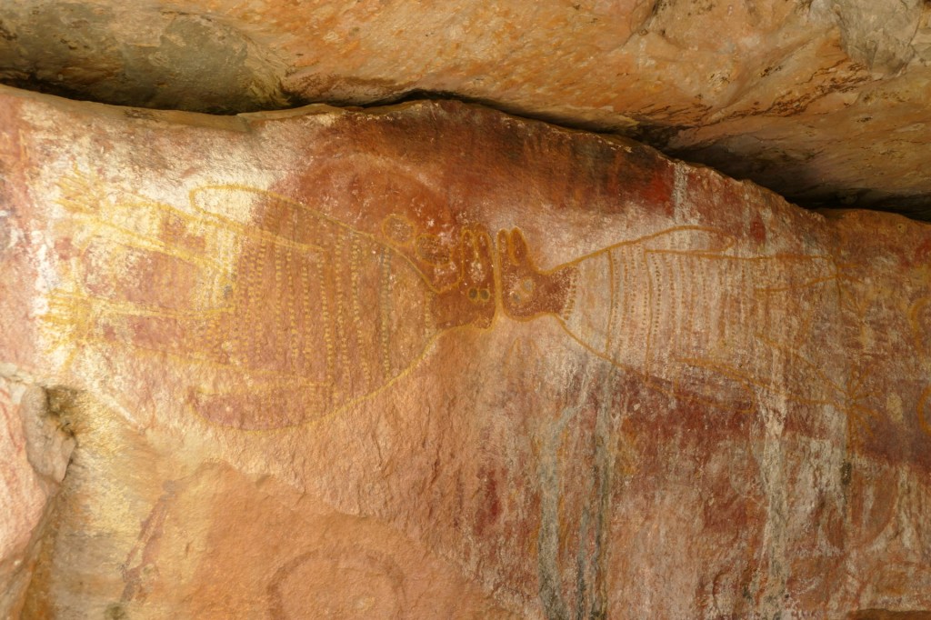
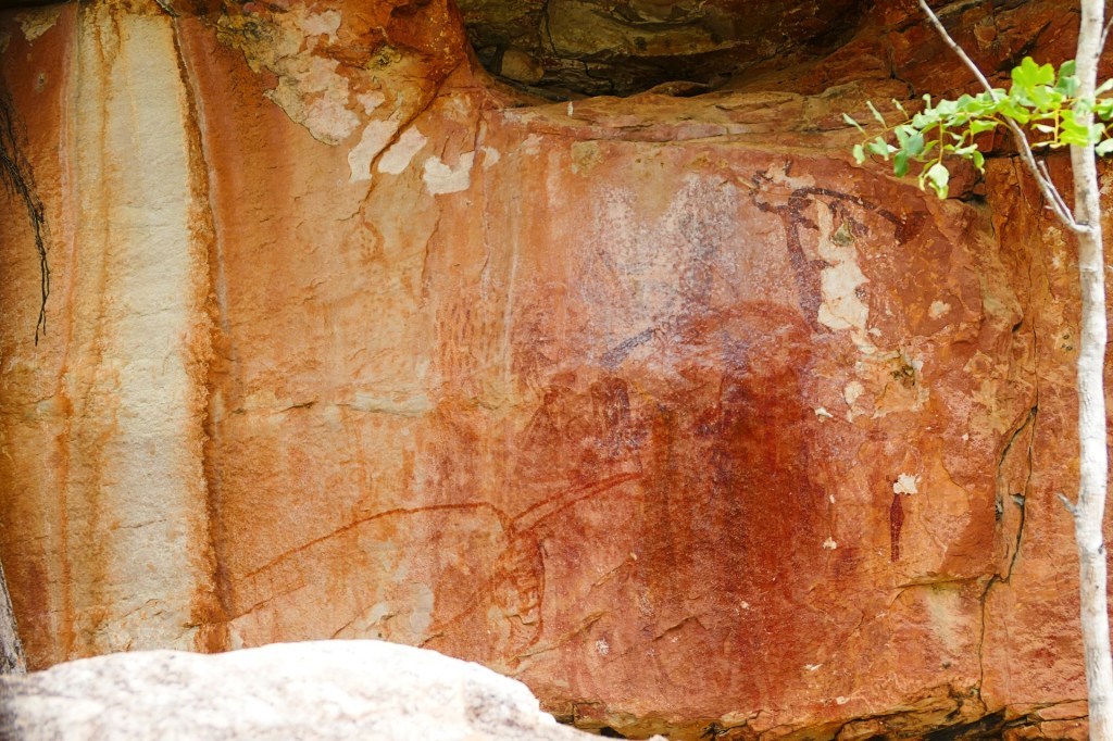
Along the way we stopped at an Aboriginal Cultural art spot where we could see the most amazing rock paintings, Manurro Cultural Art site 1. They depicted mainly their spiritual deities called the Wandjina, they believe that the Wandjina created the earth, the rivers and everything in existence. The Wandjina also passed down all the cultural laws such as about who to marry and how to behave. The Wandjina bring the wet season rains to the people of the Kimberley, in order for this to happen, the Wandjina must be remembered and repainting them is a way to remember them and keep them happy.
I must admit, I felt quite privileged to be able to see these rock paintings as they are obviously very spiritually important to the custodians of the land. I wish however that I had the knowledge to interpret the stories in the paintings.

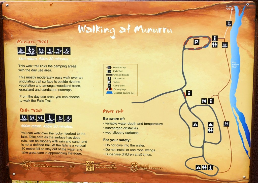
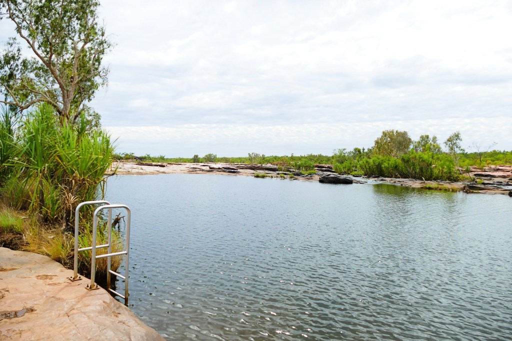
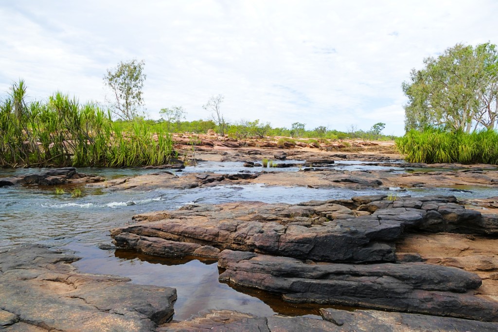
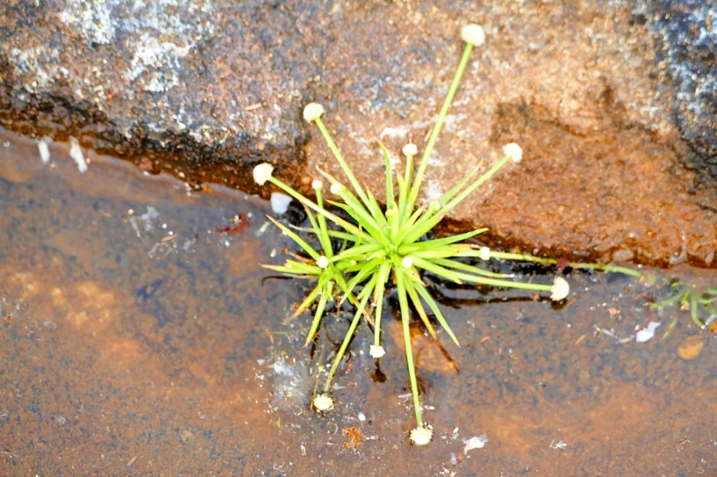
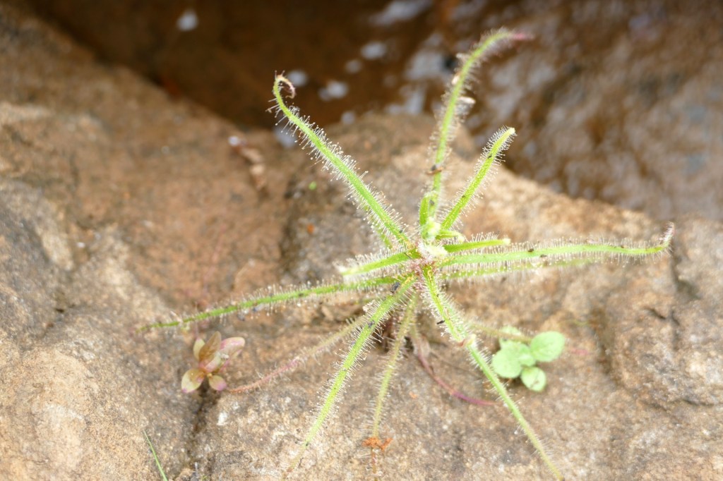
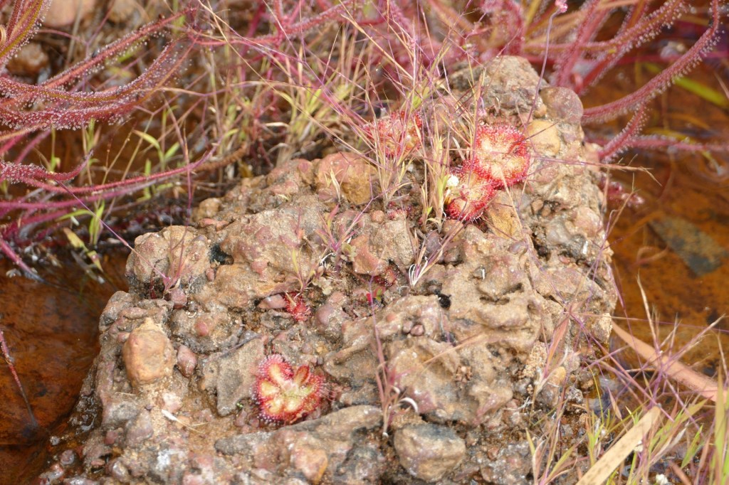
The next morning we did the King Edward River Falls trail. The falls were pretty, but not that big, however the surrounding area was really interesting. We found lots of carnivorous plants, mainly sundew type plants. These plants have sticky drops on their leaves, the insect is drawn in and gets stuck on the leaves, then the plant uses the sticky liquid which is secreted from glands on the plant to digest the insect, quite gruesome.


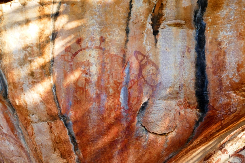
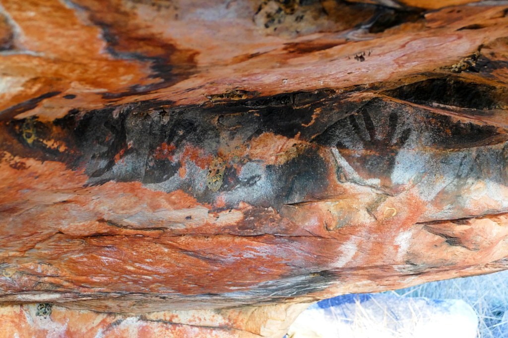
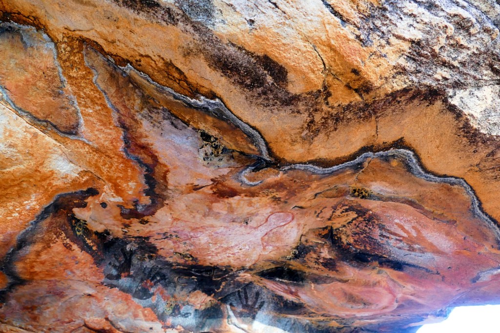
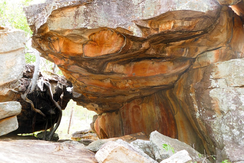
Back on the road, we stopped at a second Cultural art site, Manurro Cultural art site 2. There were not as many paintings, but they were also beautiful.


Back on the road to Mitchell Falls.
We spent the night at the Mitchell Falls Camp Ground.
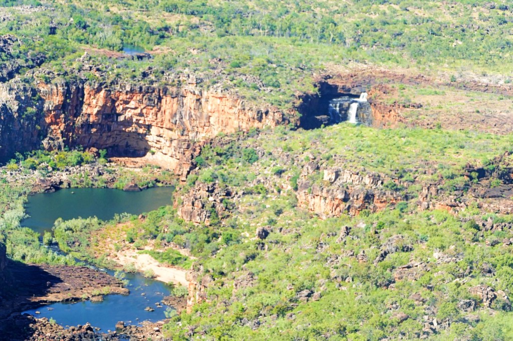
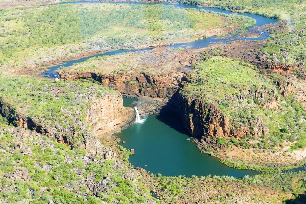
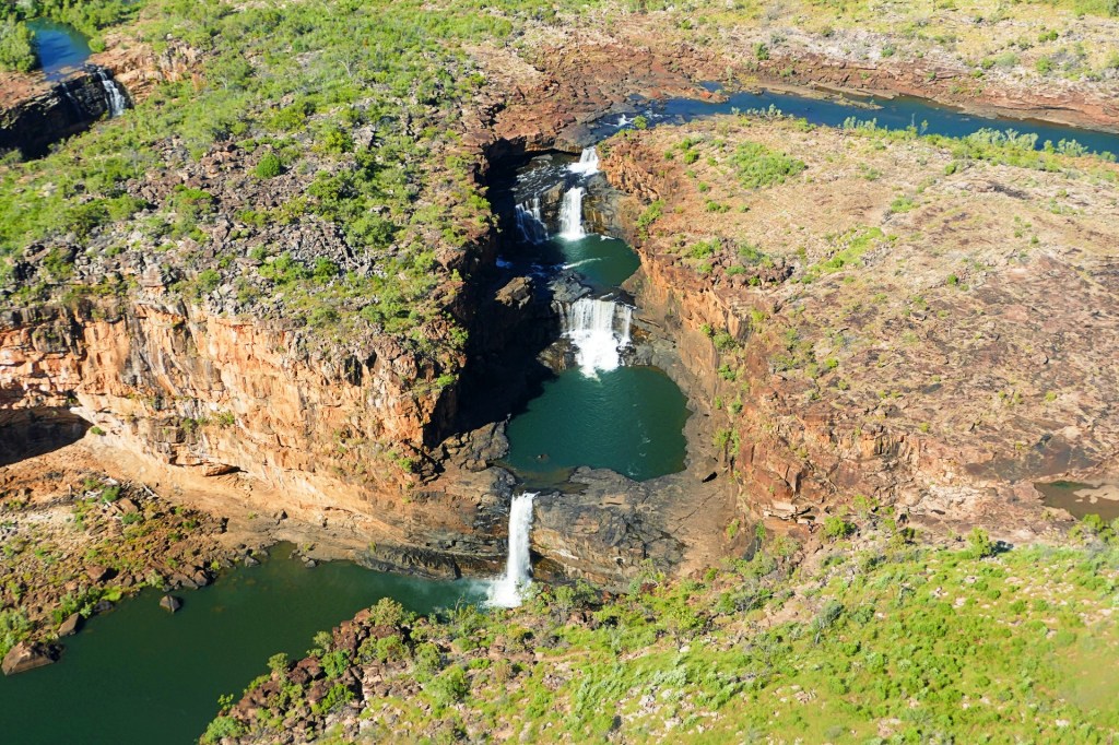
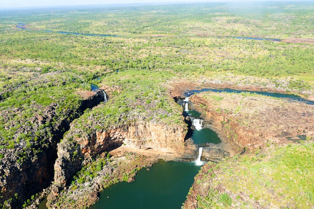
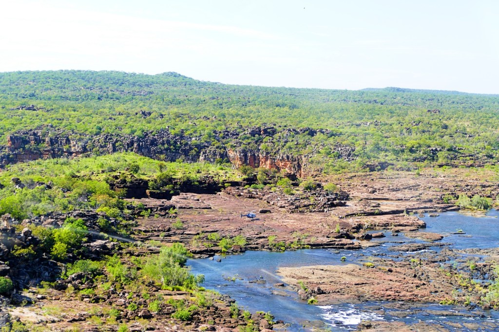
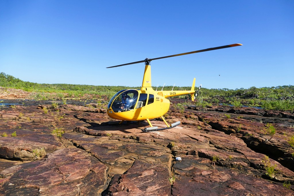
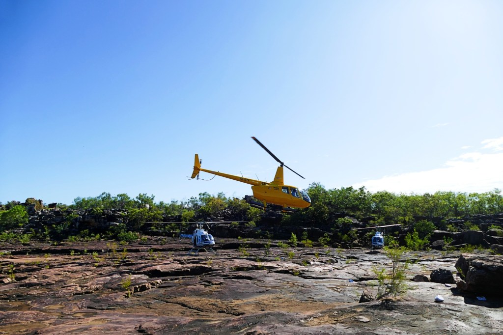
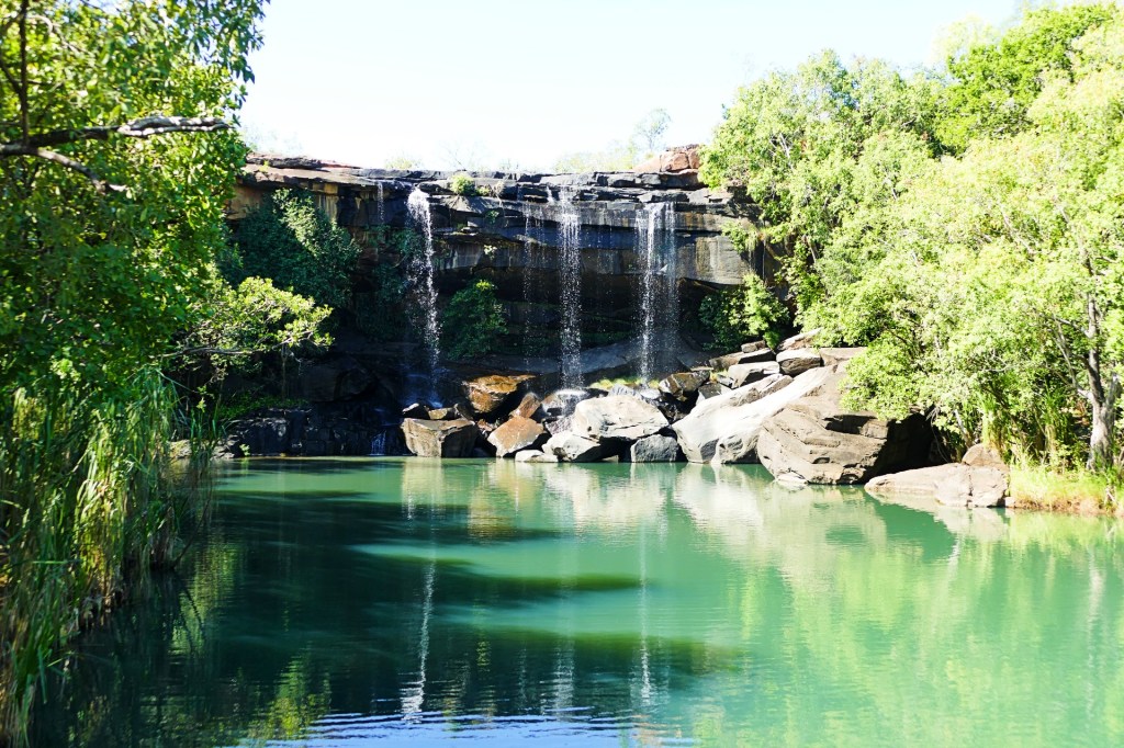
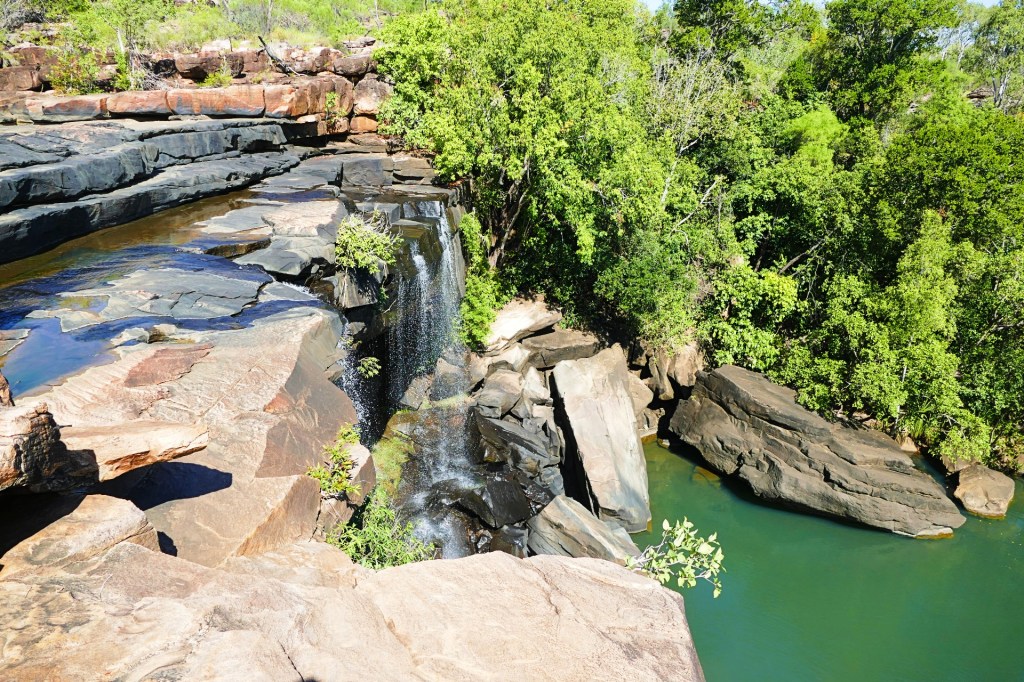
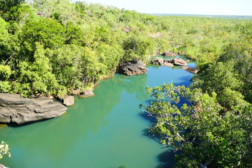
The next morning we woke early as we had booked a Helicopter flight to Mitchell Falls. A fellow traveller had suggested the Helicopter ride saying that it would give us a better perspective from the air, so we had booked the flight the night before, good thing we did. The Helicopter was very small, and it was only a 6 minute flight, but the view is amazing, even if I did feel a little queasy.
The walk back was quite strenuous and challenging especially in the 35 degree heat, but definitely worth it. I really loved doing the Mitchell Falls walk.

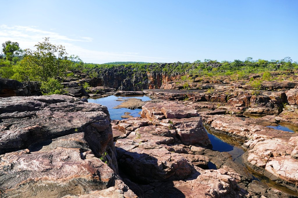


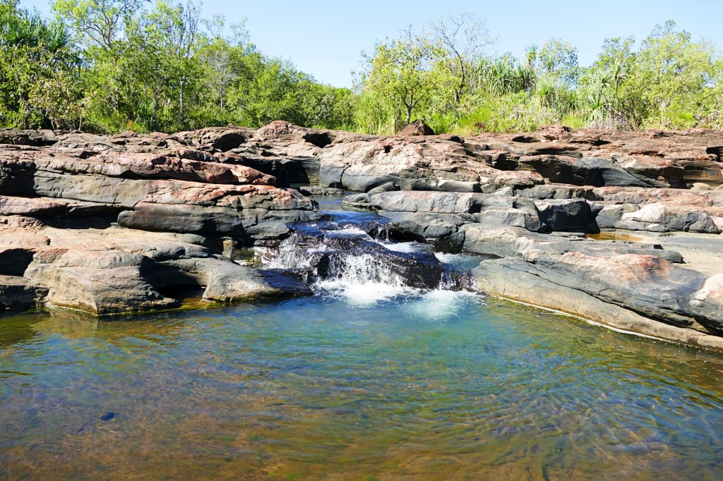
We kept walking down and eventually we got to Little Mertens Falls where we were allowed to swim. By the time we got to Little Mertens Falls, we were very hot and tired, the coolness of the water was welcomed, having said this, you could not stay in the water for very long as it was very cold.
After our swim we continued our walk and found ourselves at the top of Little Mertens Falls. The walk back was only half an hour from there and not as difficult as the walk from Michell Falls.
We spent the night at the Michell Falls Camp Ground, again, fairly busy, but as it was a hard road to travel, not as busy as other camp grounds on the Gibb. We had plenty of room around us, there are toilets and showers.
We headed off the next morning, our aim was to get to Drysdale Station to spend the night, which was a good 4 to 5 hours drive, then travel to Pentecost River before heading to Kununurra.
We managed to limp into Drysdale Station, unfortunately the bushes in the front suspension failed, so we had to drive very slowly. We made the decision to not travel any further as we could damage the suspension which would be a lot more serious. Bob had put the bushes in at the end of January 2022, so they were still under warranty, which did not help us at that moment.
We organised for a tilt truck to pick us up and deliver us and the truck to to Kununurra, Bob contacted the company that supplied the bushes and they sent the replacement bushes by TNT, which was much quicker than Australia Post.
Drysdale Station is a 1,000,000 acre station which offers travellers a camp ground, very basic supplies, a restaurant and a bar. We waited there till the tilt truck arrived, which was 2 nights.
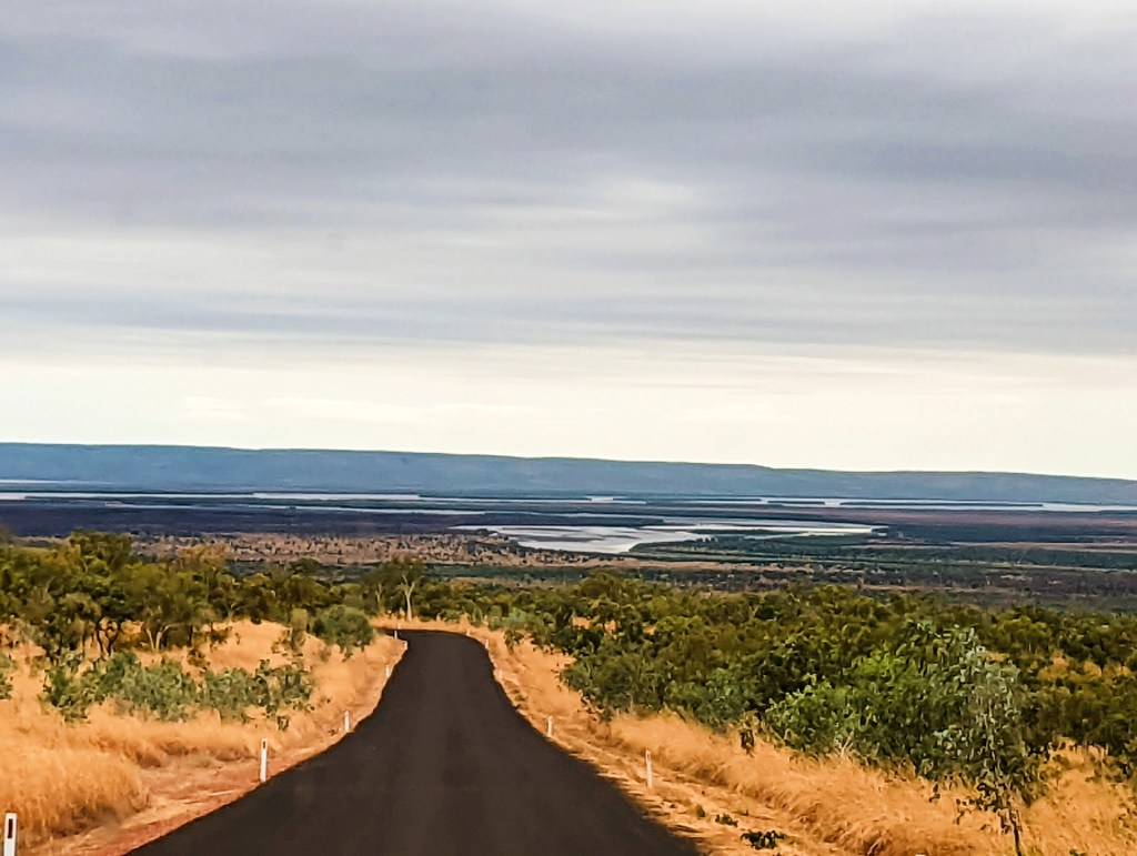
The trip up the rest of the Gibb River road was very rough until we got to the Pentecost River, there is tar on the other side, the whole trip to Kununurra took 7 hours. The recovery company was great and very helpful.

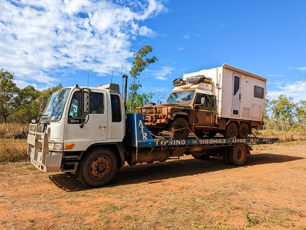


Now we stay in Kununurra till the new bushes arrive, the recovery company, Auto Tow and Repair, have offered to let Bob use their press to put the new bushes in. All auto repairs in Kununurra are inundated with work, no company including Auto Tow and Repair had space for our repair till the end of July, so we are really grateful that they will allow Bob to use their equipment so he can fix it himself, the owner, Chris even offered to help.
To continue, please select “July 2022” from the menu at the top of this page
